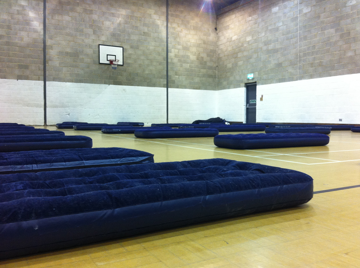
The next big ride is a 400 km and I really shouldn’t be doing that without checking that my new wheels – built by my own (unfair) hand – are not about to turn into Pringles; nor that my new electrics won’t fail or mud guards fall off. Well none of those things happened, despite being reversed into (at low speed) by a shiny Audi in Poole. I hope it put a dent in her bumper and scratched the paint, but as it seemed to cause no damage at all to my wheel I suspect not.
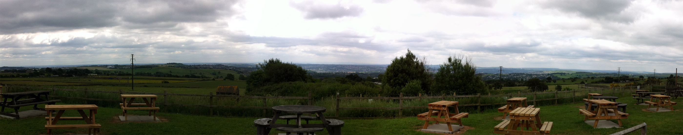
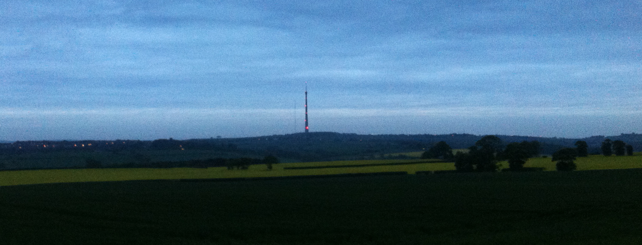
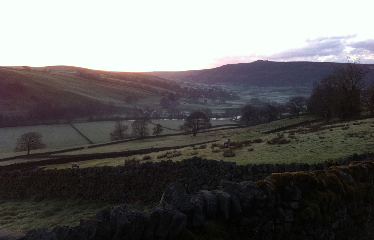
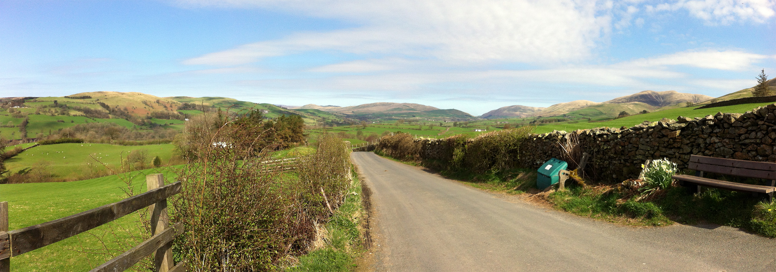
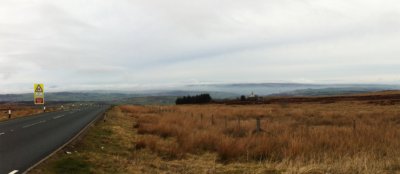
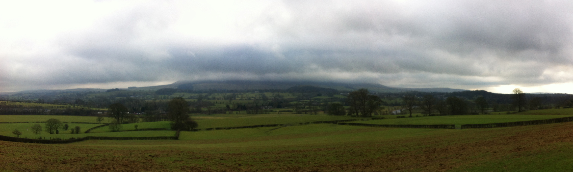
View south from the road across Otley Chevin
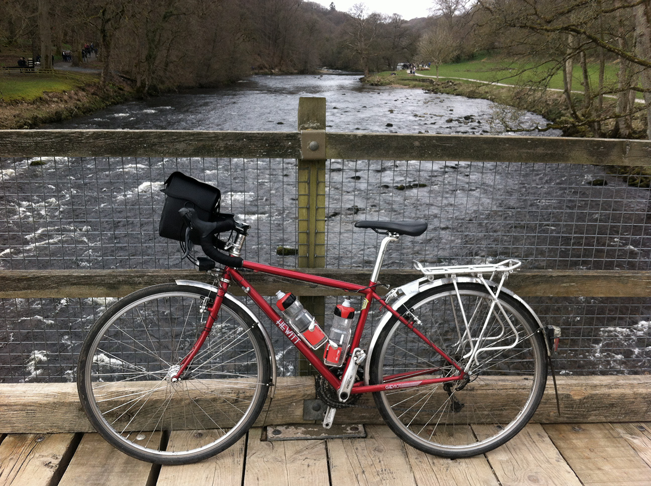
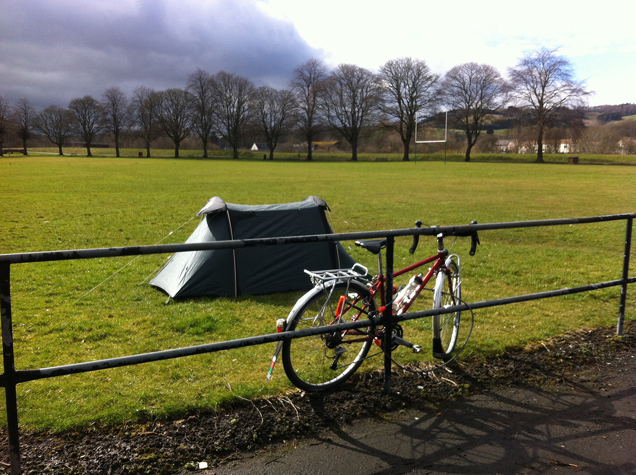
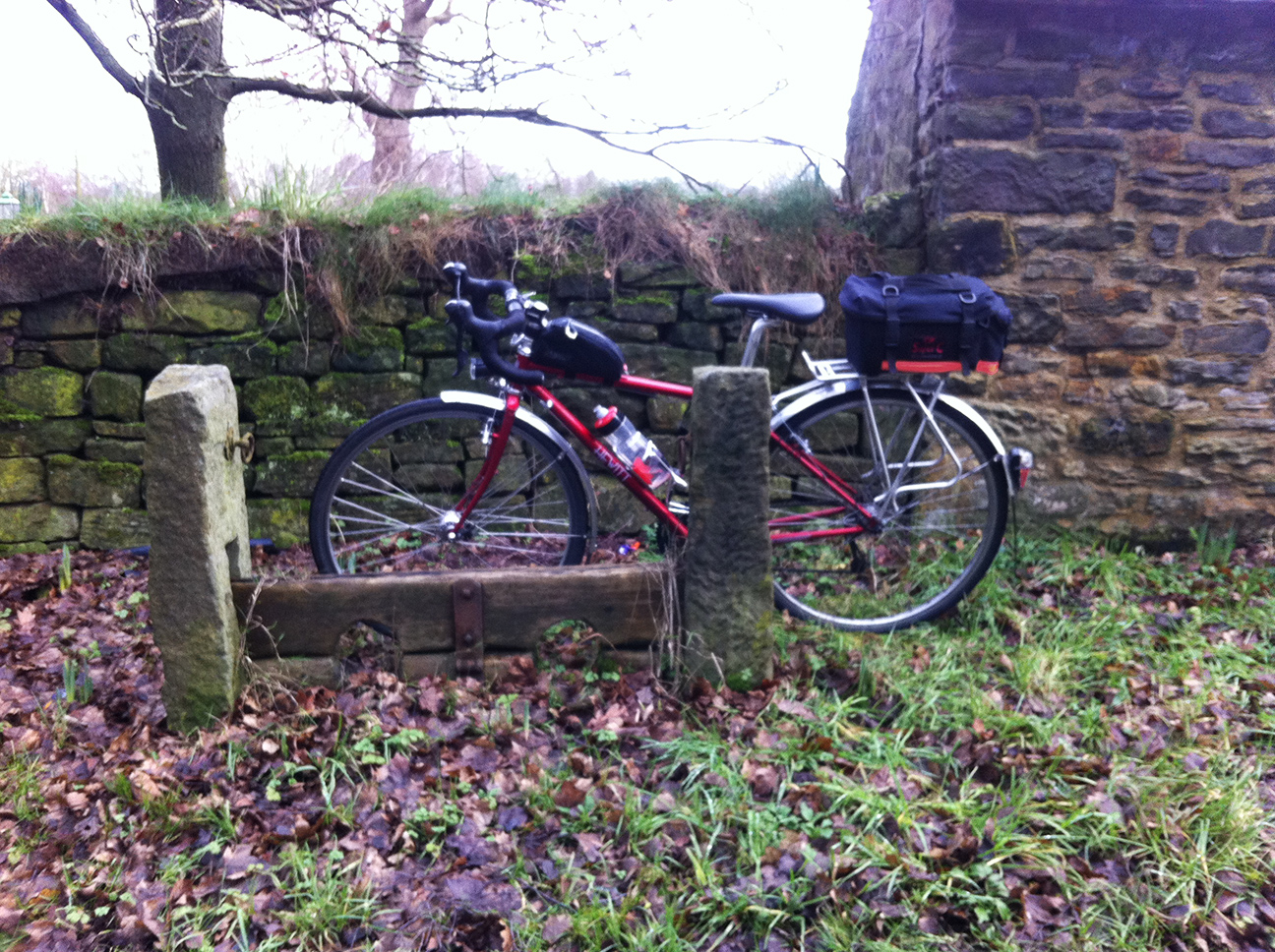
The wheels seem fine. I’ve gone from the touring rims that the bike came with to Mavic Open Pros, 32 spoke, front a Shimano DH-3N80 dynamo hub and rear a Shimano Deore LX. Tyres not new, Panaracer Pasela Tour Guard.
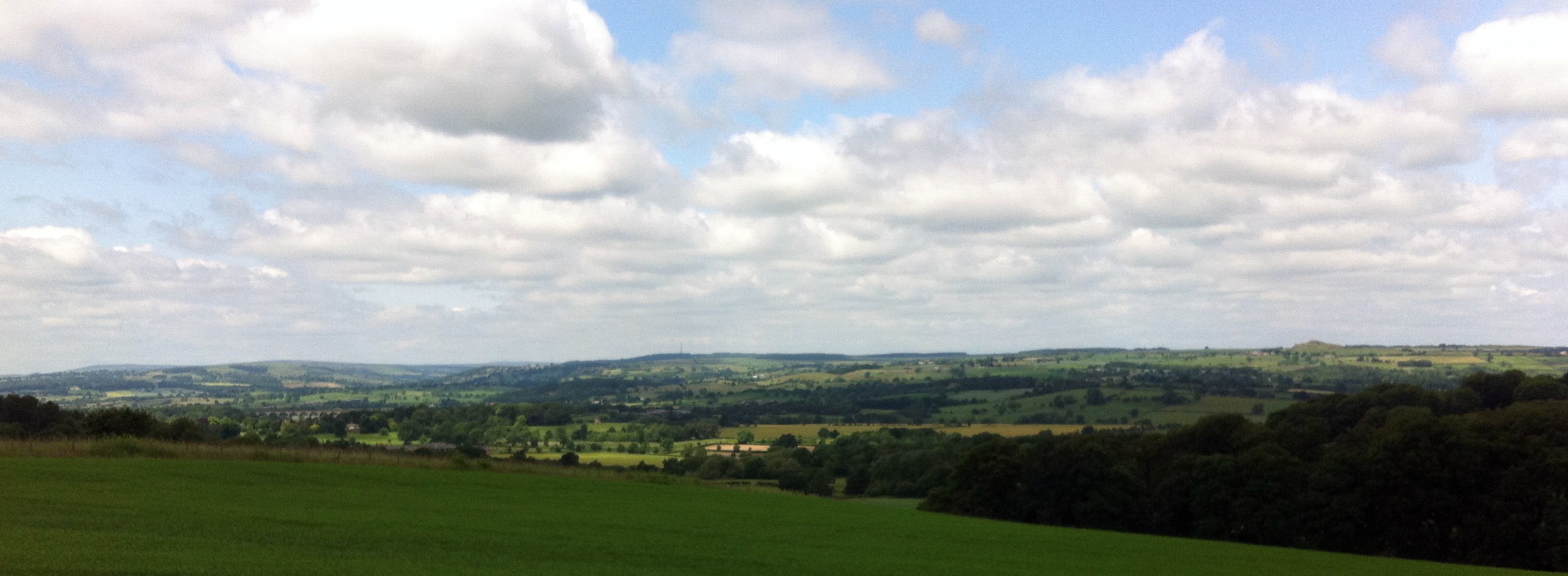
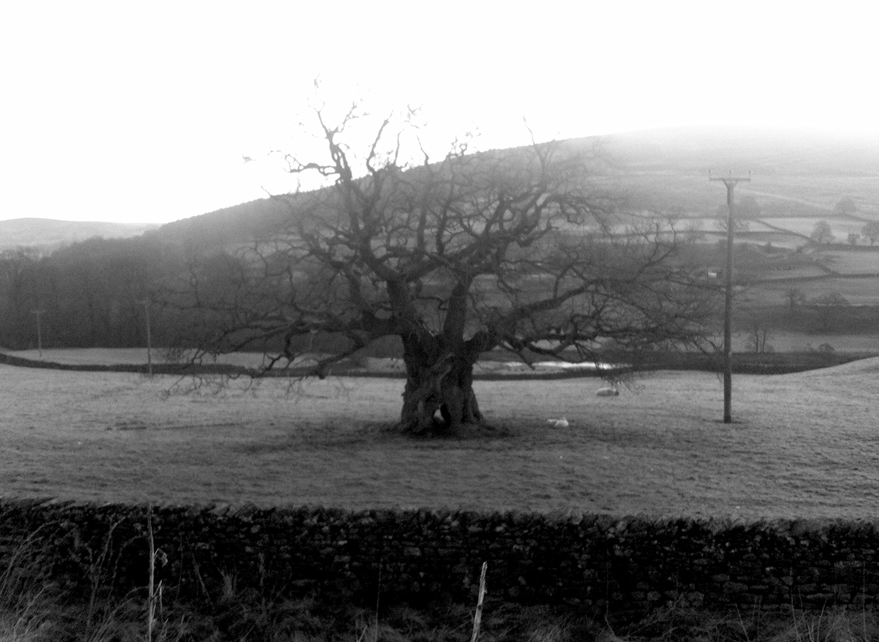
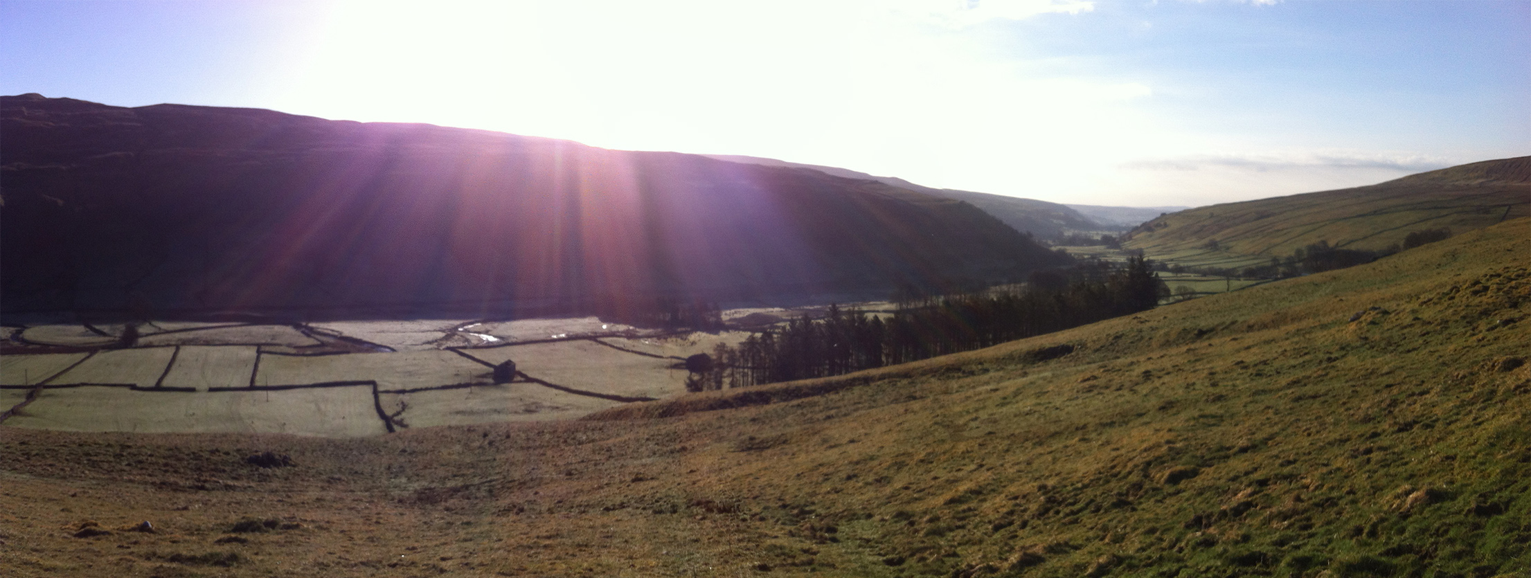
Looking south to Wharfedale
It feels really different. When I got out of the saddle on the hills there was a lot more wobble. I was more worried going over potholes and lumps than usual, but that’s because I made the wheels and so have no reason to be confident in their strength…but if they can cope with being reversed into by a car they are probably ok. But they did feel faster. It was an easy ride. I got up those hills heading home towards Eccup without a problem and found myself doing weird things with my leg muscles going up King Lane. I can’t separate improved fitness (which I probably do have) from bike fit and new components, but the sum of these is comfort and confidence in riding. That 400 km is something to look forward to rather than dread, and the 600 km is achievable. I hope so, because it’s now all that remains between me an a Super Randonneur.
40 km at 21 kph or summat like that. On new wheels.
I’ve been a member of Outdoor Lads for about 5 years, and I used to do some hill-walking with them, but once I got a bit more serious about cycling it kind of dropped off. They do more cycling events now and I saw this one which was local and a nice route, so I went along. For me it was sensible to ride to the start at Ilkley, although I took the minor roads and lumpy route which was slower than calculated (not helped by forgetting to take any water and having to go back home after about 2 minutes).
We started from the station in Ilkley, with a mixture of folk arriving by train or driving. There were six of us which was a really good number, small enough to stand a chance of name-remembering (although I was the only newbie and several of the others already knew each other). The first section was familiar, past the golf course and then Bolton Abbey. It had been raining, albeit lightly, from the minute I left the house, but it was warm and I was in shorts and short-sleeved jersey all day. Waterproof socks and a cap kept me happy.
The planned route was longer but given a slightly delayed start and the weather we cut it short, and Pateley Bridge was our lunch stop and turning point. I had sworn never to ride through here again after the Way of the Roses, but I couldn’t ride around the Dales for too much longer without a visit. It was fine, although a little scary on the descent when I saw Dean in front me having a rear wheel skid on a bend. The section after this was new to me but soon joined up with previously ridden roads…nice to be there in the daylight in some cases.
Downhill to Ilkley and we found an ‘informal’ pub for a pre-departure pint. As the ride had been shorter than originally planned I was keen to ride home (which made it over 100 km), so in retrospect I should have avoided beer. As it was I had to stop about a third of the way up Otley Chevin for a wee, a mouthful of water, and my emergency rations (a Boost bar). After that I was fine.
110 km, av 19.8 km/h (this is interesting because although I could keep up I felt it was faster than I would have gone by myself)
If certain residents of the Yorkshire village of Moss had reason to peer through their curtains shortly after 2.00 am on a Sunday morning in May, they would have seen four people sheltering from the rain at a bus stop, introducing themselves having already ridden together for several hours, eating, squeezing the water out of their gloves and weeing without bothering to find a bush to hide behind (not necessarily in that order).
I rode the first part alone, feeling as the rest of us did like a piece of fly paper as we ploughed through the clouds of greenfly. I’d sort of joined Eddie on the skirting of Hull, but we weren’t quite riding together as such, mostly because I don’t know how to technically, but also because I’m socially incompetent (sometimes that is an overwhelming anxiety but at the moment it’s just uncomfortable). He was a nice guy and I was touched that he remembered me from my aborted 600 km last year – I recognised him but couldn’t have placed him, but he’d seen me having a minor meltdown and migraine under a tree in Pocklington; I remember someone waving at me and I just shook my head. We ate together at Spurn Head but didn’t really chat, and I thought he’d already left but when I went to go he was still there, wrestling with leg warmers.
Mike was also preparing to leave and had parked his bike next to mine, and seemed keen to join us so we made a little trio without really trying to. We didn’t ride that close together and I think I went out a bit too far in front sometimes, but I was trying to stay with them but also go at my pace. They both had GPS although Mike’s only seemed to be useful for telling him when he’d sailed past a junction that Eddie and I had turned at (and not knowing someone’s name makes it harder to call after them); however I have my suspicions that this may have been if not operator-error then at least operator-can’t-be-arsed-to-pay-attention-when-they-can-just-follow-someone-else.
We stopped way too long at Leven petrol station, I was about ready to go when Mike Wiggly appeared; other Mike had been riding with him further back and decided we should wait and take him with us. They phoned wives and girlfriends to check in and report on progress. I didn’t. Mike W clumsily commented on my rainbow sew-on patch and I clumsily replied. I asked for two carrier bags with my smoothie/flapjack/eccles cake purchase, and they stayed on until I got back home.
Timing was good, better than last time no doubt due to the kind wind. I remember it being pitch black on arrival at McDonalds then, whereas today there was still some light in the sky. There was also water falling from it, which had been light enough that I hadn’t bothered with the waterproof but after this it would be needed for warmth too, plus that rain was setting in more permanently. Mike W decided to stay for another coffee so the remaining three of us reluctantly made a start on this long dark leg. Negotiating Goole we picked up Carl, who had been ahead, but lost confidence in his navigation, and turned back. It was good riding with others in the dark, the extra lights are helpful (although Mike’s strobe on the front was bit too disco for me). I liked the flat Kings Causeway section although I think some of the others found it mind-numbing. This ride has an almost constant stream of routesheet instructions, there are hardly any long uninterrupted stretches. Apart from a couple of junction confirmations with Eddie’s GPS, and one that I missed, I pretty much took the front and did the navigating. It reminded me a bit of LEL, and the night I rode silently with a group from all over the world, weaving across the road as they either nodded off, forgot which side to ride on, or possibly both.
Mike came off going over a railway line in Thorne which crossed the road at a stupid angle, so we all stoped and Mike W happened to catch us at the same time. He seemed ok but we made him stand still for a little while to make sure he wasn’t going to keel over. A car actually came by just behind us, as he was still lying on the road, and didn’t stop. Around here I started to wonder how safe this pastime of ours is…it was cold, wet, and dark. We were in a village and I dare say could have woken up a household if needed, but there was no sign of (awake) life and no shelter. I thought of the riders doing the Old 240 and where would they be at this time of night? I don’t know if I could do that ride, I wouldn’t feel safe.
Mike W shot off and the rest of us wound our way on, via that bus shelter in Moss. I’d stopped there last year too. I thought we’d been doing a reasonable 20 kph average on the flat but soon the hills started and we slowed right down. Unusually for me I felt I could have gone faster, and found myself slowing to let the others catch up. But I was glad of their company, not being scared of the shadows this time.
Eventually Woolley Edge services appeared. By accident rather than design we arrived at 3.50 am which was exactly on my approximate schedule, although again we stayed longer that I’d have liked. But now there was only 35 km to go, and the dawn to look forward to. Mike was nodding off but the rest of us seemed ok. We chatted about bikes and riding. It was Carl’s first 400 km. He said my navigation was excellent which I really appreciated. He and Eddie exchanged numbers on the basis of a potential bar-end shifter sale.
By the time we set off the sky was already lightening, and a rather nice morning was underway. Mike and Carl both knew their way round a slightly longer but flatter route via Brighouse, so Eddie and I followed them, Carl and I seeming similarly paced and the other two a little behind (a sort of taking-a-leak time delay which was convenient). I didn’t think we’d manage, but we got back just before 7 am. There had been a time when I thought 24 hours was possible, but the slow night leg and longer stops prevented that. But it was surprisingly nice to ride with others for once.
I’d left myself some things to keep me occupied the evening before the ride (or you could consider that I’d left somethings until the last minute), so it was that I was laminating the route sheets. The first one got stuck inside. I could have gone back in to work, printed it out again and used the work laminator but the thought of going back there again, especially on a Friday evening, was too much. Fortunately I had (a) a spare paper copy (although half the size so reading it might be challenging) and (b) a bar bag with waterproof map case. When it had cooled down I took the bloody thing apart and retrieved the unusably-crumpled sheet, but I didn’t want to risk the others through it at this point. So all was well apart from the fact that I’d have extra, unattractive, luggage, and the final stage which would be ridden in the dark would rely on rather small font. I took maps as a back-up anyway but marked on this final stage in case.
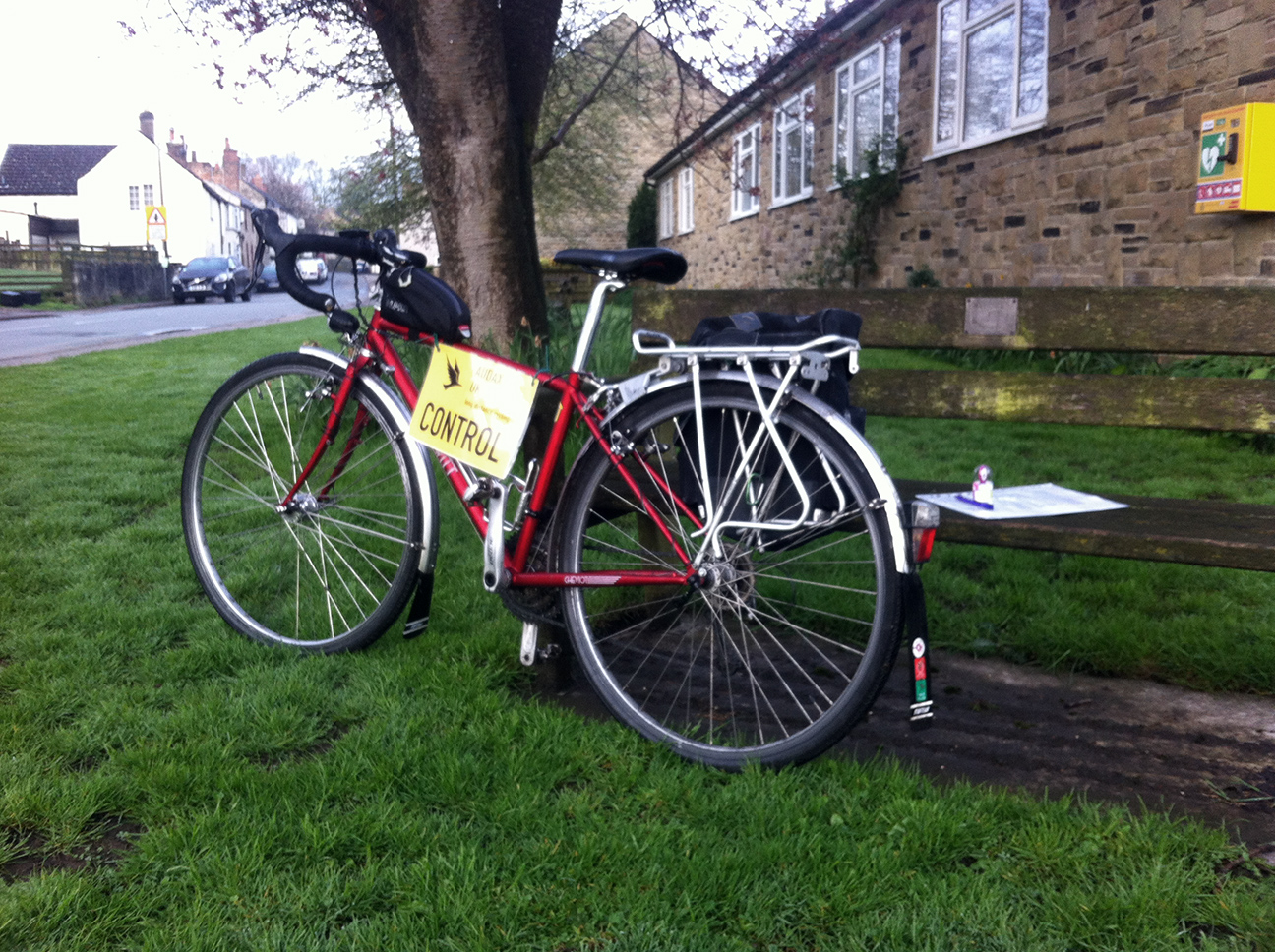
I rode this last year and this time Dean had asked if I would stamp cards at the Markington checkpoint, so this was ridden as a helper’s ride; effectively a perm in the fortnight before the event. To aid logistics I opted to start and finish at Ilkley, which is the closet point to Leeds. My aim was to get back in time for the last train home (I did NOT want to be tackling the Cow and Calf/Otley Chevin/Pool Bank in the dark with 300 km in my legs to get home). Some planning based on 20 kph riding and realistic but not too generous stops meant that I’d have to leave home at 4 am. I re-wrote the route sheets to make home – Ilkley part of the ride, and re-set the distance to zero at the start of each stage, which I’d found beneficial on LEL.
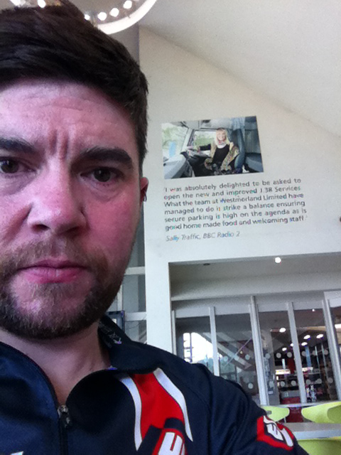
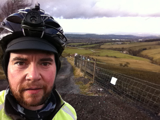
This is what audacious looks like
I slept badly and was only dozing when the alarm went off at 3.30 am. My clothes were ready but I still needed to make the final decisions on outer wear, and after feeling the temperature outside opted for winter gloves and shoes. The last couple of days had been a ‘heatwave’ (for April) but with the clear sky the night had been cold. A first outing for the LEL jersey (an attempt to humble/ridicule myself into continuing when the going gets tough) and I was happy to see that it fits better than it did when I got it before the end of last year. Jumper and short-sleeve high vis/windproof gilet on top and leg warmers I though I’d be fine, with enough bits to take off to be flexible. The forecast was for warm sun with thunder and rain by the evening. So a waterproof and rain gloves went in too. In fact I took four pairs of gloves with me (this is what happens when you take excessive luggage – more than LEL or BGB) – you fill it up. In the event the only pair I didn’t use were the wet ones.
It was chilly heading down to Ilkley, as it’s mostly downhill so not much opportunity to warm up. Being audax-o’clock I took the A roads which were fairly deserted. There were a few cars and I did see one other cyclist. The petrol station control in Ilkley isn’t 24 hours and its external cash machine wasn’t working, so I continued on the town centre for a cash machine and receipt. I was impressed that it read 5.01 am which made me look very organised. I had done a good check on the map of the centre and how to get back on route because getting lost so early on would make me excessively grumpy.
There was already a dull green glow in the east, and soon I didn’t need my head torch to read the routesheet, which was a good job as the batteries were struggling. After some lanes out of Ilkley (featuring suicidal bunnies) the route follows the Wharfe up the valley past Bolton Abbey. This is a nice overalll climb but not much silly steepness. Despite climbing I was colder now, and there were a few patches of frost on the roadside leaves in the hollows.
The sun was catching the hills to my left, and eventually it came down to meet the road and I bathed in its warmth. Not exactly; at this hour it was a psychological heating rather than anything else. I could have put my waterproof on for extra warmth but I was nearly warm enough and knew it would improve soon. The valley was gorgeous, with the dawn light and dewy fields. At the other side of the river I saw the campsite and pub at Craven Arms which we passed recently while Springing into the Dales, and eventually joined that route at Burnsall Bridge.
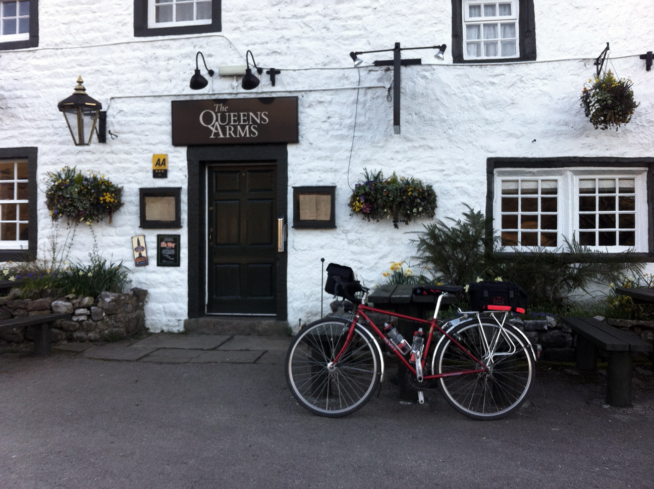
Then it’s in the general direction of Grassington, then Kettlewell, which aren’t quite visited (Beyond the Dales You Know, see), branching off for Arncliff and Littondale. The first control is the Queens in Litton, definitely not open at 7 am, so photos taken for proof of passage.
This side of the valley was in the shade so I kept going a bit further, to the turnoff at Halton Gill, before I stopped for my breakfast of supermarket sandwich brought with me. The extra luggage was actually quite useful throughout the day as essentially a larder, doing the ride from an alternative start buggered up some of the carefully selected controls as far as food went. This well-prepared audaxer returned home with more food that he took…
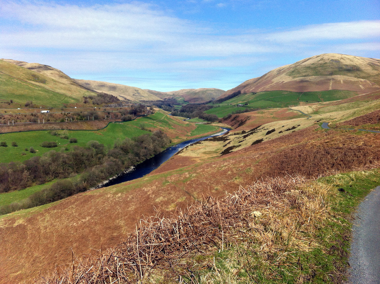
I’d remembered the climb out of here as being a bastard, and it does have some steep sections (featuring an up-hill cattlegrid which is tough, they are much easier to speedily freewheel over), but the steep sections are short and the descent to Stainforth is long. Pen-y-Ghent Gill carves a lovely deep gorge down to the left, as the pass travels between Fountains Fell and Pen-y-Ghent.
Then it’s the main road up through Horton-in-Ribblesdale to Ribblehead, again it looked like there was a three peaks event on, with lots of cars and a gazebo in the field in Horton. I wasn’t expecting the burger van at the Ribblehead junction to be open at my target time of 9 am and was pondering my stop strategy, but it was there so I pulled in. However although it was there, the side open and the radio on, the proprietor was absent; according to a couple having their own brew in the car/van parked next door she had taken her dog for a quick walk before opening (it was about 8.50 am). Although I’d really fancied a coffee I didn’t want to hang around so just had one of my flapjacks and got going. It was beautifully sunny and clear, I’d already stopped to take my jumper off (and remove a fly from my eye, multitasking stops are always good) and I was feeling like I was going well.
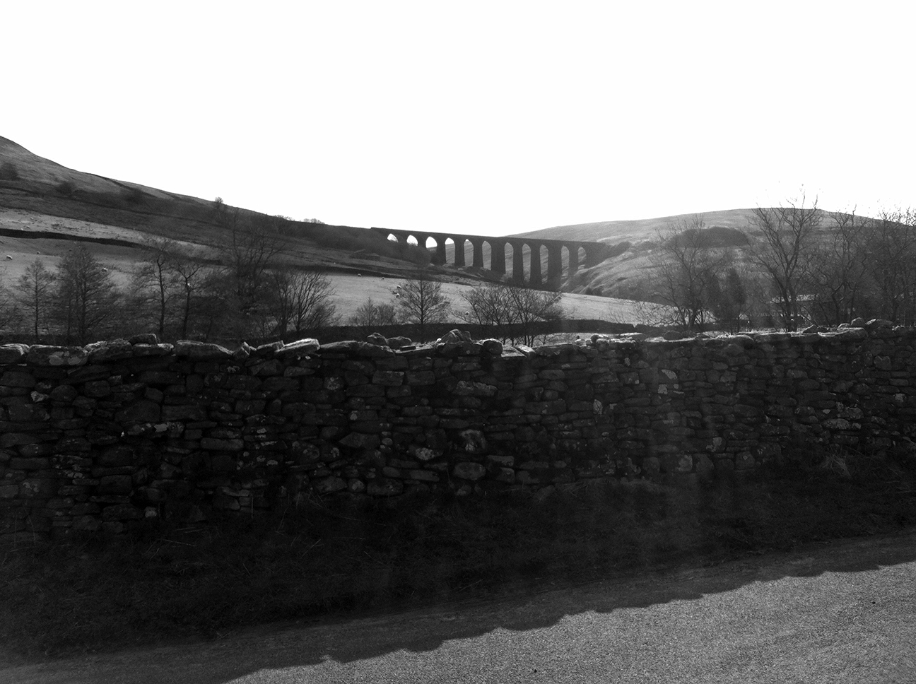
After a gentle climb the cars became sparse again and the turnoff for Dentdale appeared. This is a great descent which provides views from above the viaduct and later below, the former would have been a nice picture but it’s not an easy place to stop.
I remembered that I’d been particularly miserable here last time and was feeling quite the opposite. You barely have to pedal for a long time. It was on the approach to Dent that I suddenly remembered it has cobbles, and changed down several gears and braced myself. My bike and wheels are quite chunky, and I wonder how slimmer models manage over this. Dean had helpfully noted that there are toilets and an outside tap here, the latter especially useful as I’d had no options for refills until now.
On through Sedburgh, one of the bigger towns visited, but feeling no need to stop I began the climb up Howgill Lane. This was less painful than I remembered too, I don’t know if this is because last time was further through the ride, or I was more cheery this time, or just that I’d done it before so I could do it again. A couple of more speedy riders came passed me along here, I was quite happy to be overtaken and probably still retaining some smugness that I’d got all the way here from Leeds and it was only 10 am.
“Everywhere that air of conspiracy which generates amongst people who have been up since dawn – of superiority almost, derived from the common experience of having seen the night disappear and the morning come” The Spy Who Came in from the Cold, John le Carré.
The descent alongside the Howgills was even more enjoyable than last time in the crisp sun. I almost waved at a train speeding south along the west coast main line such was my delight (but apparently I gave up waving at trains when entering adulthood).
I feel sorry for Tebay, I suppose its position is not unlike Moffat in that a motorway has removed much of its passing trade, but Moffat retains the A701 route and has gone upmarket since I was young, but Tebay just looks tired. I was pleased to see some non-lorry traffic at the services, including a hen party. I had a decent length stop here, it was warm now so arm and leg warmers off and sun cream on, and a reapplication of Conotrane while I had suitable facilities.
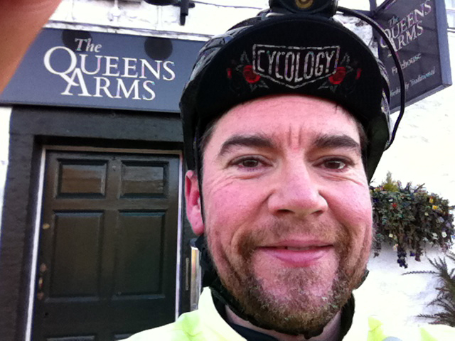
Ever glamorous
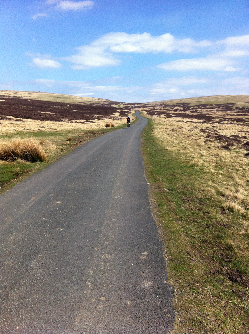
I’d remembered the first bit of the next section, where the route heads up and through unfenced moorland. There was a particularly magic moment when I crossed a cattle grid and as soon as the noise of it ceased so did the roadside trees and fences and it was suddenly open and quiet. Stopping to take one of many photos along here I was caught by another cyclist who stopped to ask where I was going. He had heard of Audax and had a suspiciously tatty Carradice.
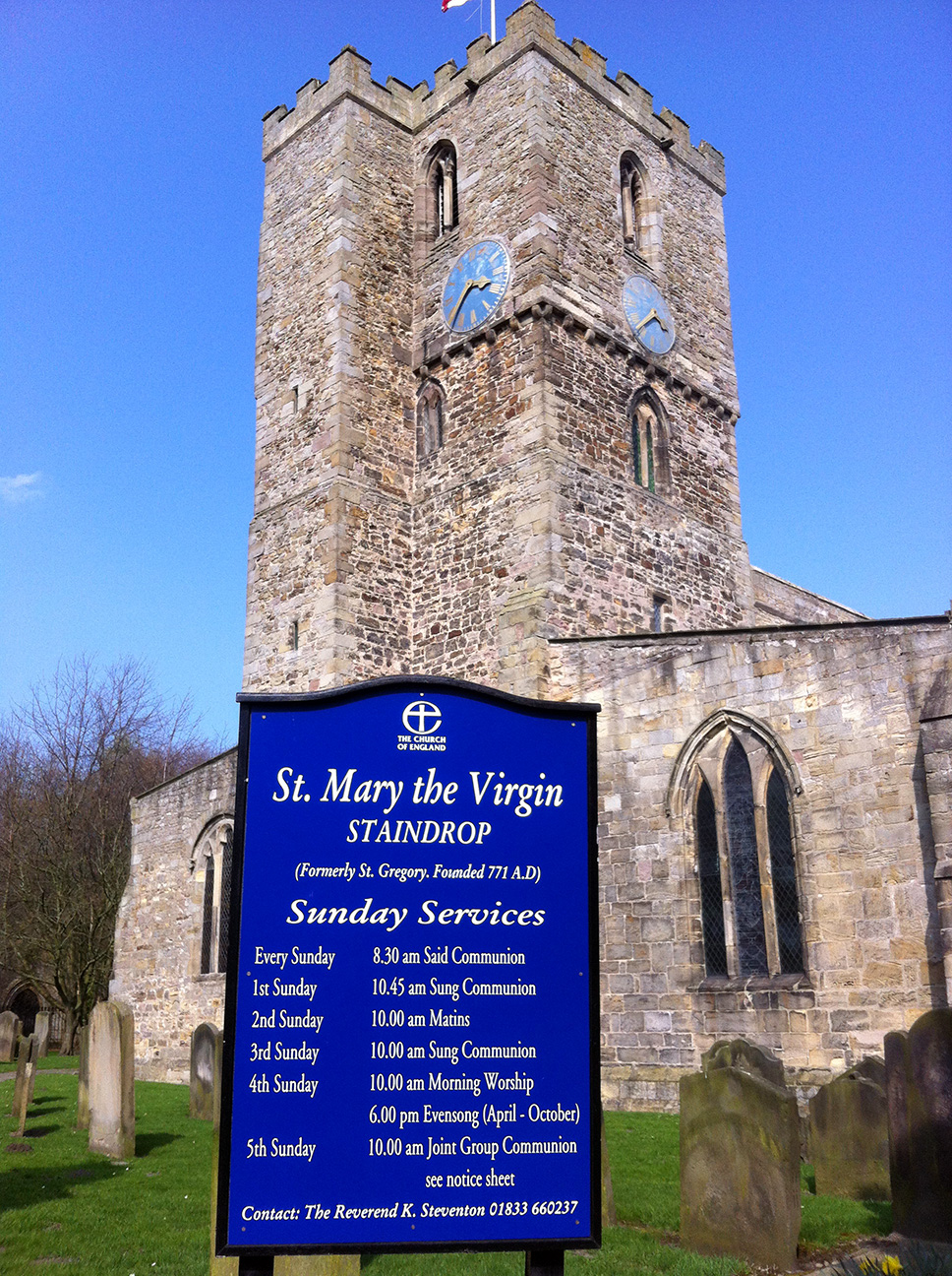
Through Great Musgrave, recalled after the Sherlock Holmes story ‘The Musgrave Ritual’; I checked last time and in the story they are in Surrey, never mind. After Brough came the climb to Middleton-in-Teesdale which I hadn’t remembered until I saw the junction. It’s lovely, but manages to combine a steep up-up-up climb with an up-down-up descent, so there is not much time to relax. Middleton soon arrived and I’d already planned a visit to the Co-op, remembering that I would need sustinence for the next control(s) too. Here was my mistake. I thought I’d learned my lesson on overeating, but it turns out that a Mars Bar ice cream AND a hot cheese and onion pasty (in that order naturally) still counts as too much. To Staindrop was ok, just feeling a little stuffed. I stopped to take a photo of the church as time evidence, but also noted that although I didn’t know the info control question here I knew its location and took an educated guess that it would be ‘name of fish and chip shop’ [Chip in Dale; it was]. Either way I’m sure my passage through would be suitably evidenced.
The route was flatter now but I started to feel sick and had a headwind which did nothing for comfort or morale. The nausea was fairly convincing and I pondered my best options to pack – not far to Northallerton and still plenty of time to get a train back to Leeds. But I really wanted to finish this; remember you are wearing your LEL jersey, keep going and see how it goes.
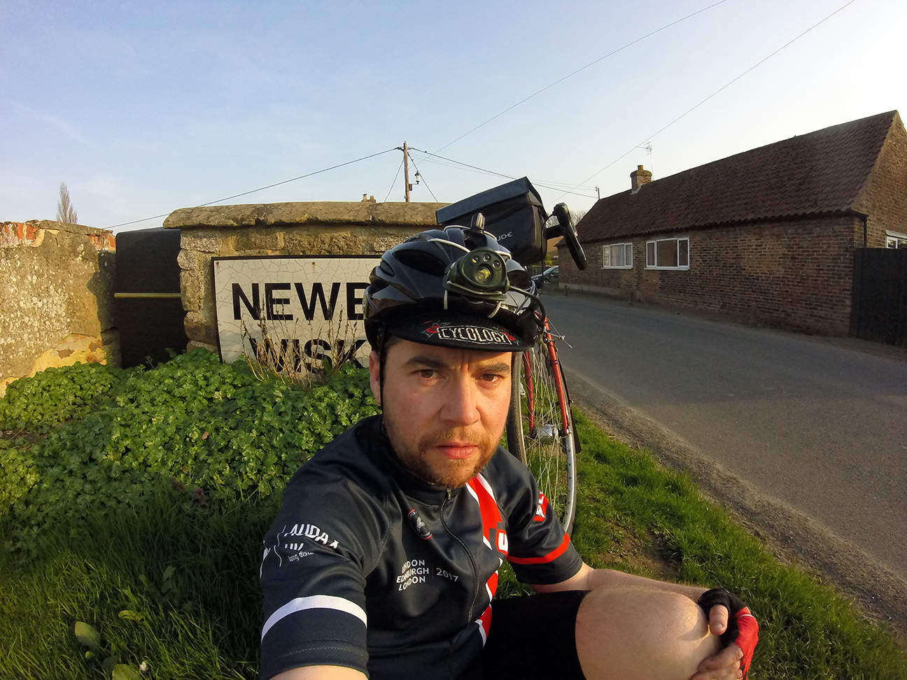
I felt rather sorry for Dean around here because the roads and signs must be changing almost constantly and keeping the routesheet up to date must have been a nightmare. I got through without any wrong turnings so he must have done a good job. I had also studied the route quite carefully beforehand, because I got lost near the end last time and didn’t want to repeat the exercise. So I had a pretty good idea that I was going in the right general direction all the time. The A6055 follows the A(M)1, and may be able to become the new B7076 in terms of ubiquitousness and boredom, but it has a damn-site better (new) road surface. I stopped on one of the bridges over the motorway and had my carton of chocolate ‘milk’ (soya) which I know my stomach likes, and a little feeling-sorry-for-myself break. Heading off again I felt a little better and thought I’d make a decision on packing when I got to the road which could lead to Northallerton. I don’t think that I ever actually made a decision, but ended up turning off anyway at Ainderby Steeple for Newby Wiske (they do like their double-barrels around here). Shortly after I met some people at the roadside wrestling with a bike and with a jauntily-parked car; my initial though was ‘accident’ but when I asked if all was ok one of them said they had a problem with the chain, so I stopped to investigate. It was a lad with his bike and his parents or friends who had come out to rescue him in their car. The chain was not only off the big ring but also over the crank and pedal and one of the assistants was trying to puzzle out how it went back on. I managed to sort it and the rider seemed keen to cycle home, so we suggested he do so in a middleing gear and not try changing it to be on the safe side. It didn’t take long and was a sufficient distraction (probably because I had successfully managed to help) that it gave my brain a bit of a kick and so while my stomach didn’t feel right for the rest of the ride my head at least did.
The control at Newby Wiske was a bit weird because even though I knew it wasn’t the end of MY ride I knew it was the end of THE ride. I stopped for another selfie by the village sign and had half a sandwich, which went down ok.
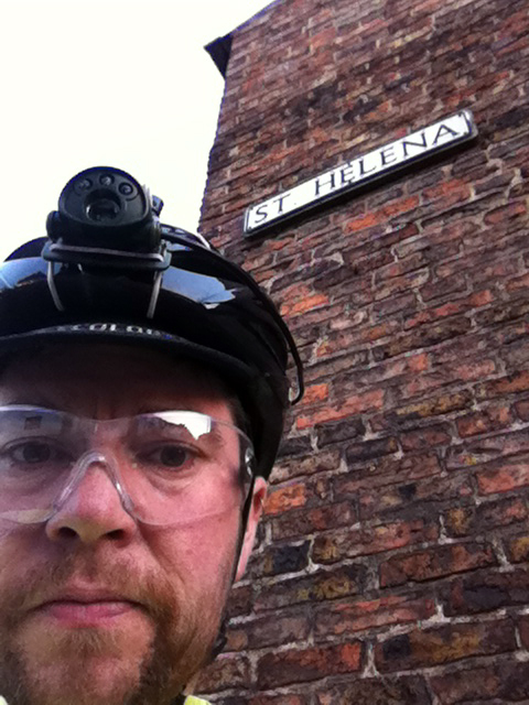
It was flat and not far to Boroughbridge, where I thought the traditional remedy of coke and salt and vinegar crisps might be a good idea. They were, although the Spar receipt was useless not having a location on it. The cash machine just over the bridge earlier would be a better option. I took yet another selfie when I turned off on the distinctive road ‘St Helena’ which I thought would suffice. Arm warmers, gilet and lights went on here.
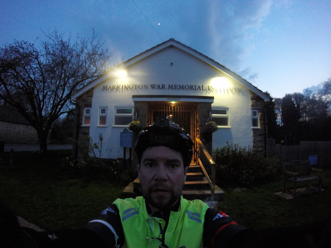
It it was only 15 km to Markington, where I would be stamping cards next weekend. I actually had no recollection of this on last years ride, and still didn’t recognise it when I got there. I took another photo, noted the location of the campsite where I plan to stay on Friday night, switched on my headtorch (having put the new batteries in I need at Tebay) and pressed on.
On leaving I was half an hour ahead of my schedule and had that ‘I’m actually going to do it’ moment. I had two things in mind, completing within time (definitely possible as the minimum speed is low) and getting my train home, which was more debatable but held considerable mental weight. I kept telling myself that validation was the more important thing and that it was hardly the end of the world if I had to get a taxi home from Ilkley, or worse, summon the courage to ride.
I’d forgotten in my time calculations the slowing which happens in the dark; I find descents challenging and never make it to the big ring. I do think my light could go a few degrees upwards which would help. But still, this last bit had some hills and I couldn’t make up any time on the descents. I was also now using my tiny-font routesheet with map back-up, and although the routesheet was ok I did have to stop to read it at each instruction, the road vibrations being too much for clarity. The very straight but horribly-surfaced road by Fewston barracks was at least not too bad at this time of day as it was quiet, and I was able to ride in the middle of the road to avoid the worst of the potholes. The steep hill after this, climbing after the reservoirs, I hadn’t remembered and could have done without. Although Ilkley isn’t a bad start, Newby is better because you get a flat start and a flat finish.
I could see the lights of various towns in the valley below but was getting worried about my slowness and getting back for the train so was distracted and not able to enjoy the views. I blame this on my bike computer; I had been looking at the distance which had been 17.1 km and seemed very slow to get to 17.2, etc; I thought this was me looking at it too often but after a while realised it had changed itself to read average speed rather than distance. So that meant my average speed for this leg was 17 kph….not good for getting back in time. I didn’t let myself look at my watch because there was nothing I could do about it.
Slowly the route asymptotically approached the lit A road to Ilkley and eventually met the bridge over to the control petrol station. In the interests of knowing where I was and not faffing I decided to return to the town centre for a receipt and the station; risking a look at my watch it was 10:45 pm, so I bombed it along the road (amazed that I still had the energy and legs) and got back to my starting cash machine. Just under 18 hours and I was very happy, although thought that ‘contingency’ should be a future consideration. The last train to Leeds was everything I dreamed of, full of drunk people, although to be fair they left me along. A large group of under-20s blokes with a few women, they were very noisy. The toilet, which unfortunately I was next to, was marked ‘out of order’ but several of them were clearly desperate. After attempts to pee out of the train doors at a station or on the platform (foiled because it didn’t stop for long enough) they forced the door open, at which point it was visited by about 10 of them followed by one for vomiting purposes. I can only hope the defect wasn’t the flush.
The forecast thunder kept its distance, it started to rain as the train pulled out of Ilkley and had apparently just stopped when I got back to Leeds. Couldn’t have planned it better if I’d tried.
The final ride ride home was the usually dodging of revellers through the town centre, uncomfortable in backside (mostly) and legs. But Carr Manor Road seemed tame in comparison to some of today’s hills. I got back and had a shower to remove the sun cream-adhered dirt that I didn’t really want in my bed, and had a cup of tea to try and rehydrate, even did a few back stretches, so wasn’t in bed until 2 am. 22.5 hours, and only on checking the following day have I realised I did 200 miles, which is rather satisfying. I’m very glad that I got through the rough patch. At the time of writing (the next day) I feel like I’ve been through the mill, arm and chest muscles hurt as well as knees and thighs. It’s real step up from 200 km.
333 km (207 miles), 17 hrs 45 mins, 3,725 m climbed
The event
27-29/04/18
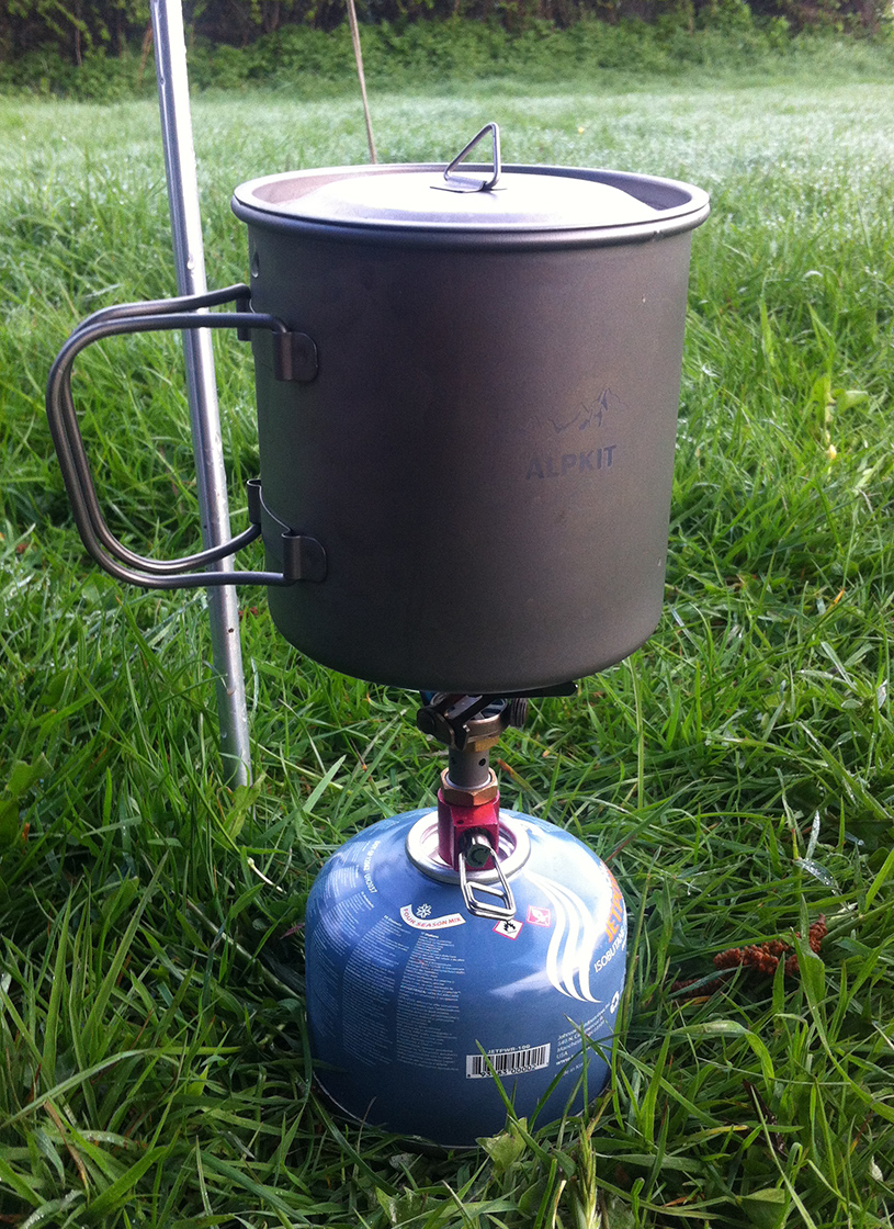
The ride itself…cycled up to Markington in the rain, which stopped on arrival. Tent up and finally in the pub (The Yorkshire Hussar) by 9 pm, in my wet clothes to just about dry off. Busy and a bit posh but there was a little back room with a chap watching football and another sitting at the bar, so I joined them and we ignored each other for a couple of hours. Very nice Timothy Taylor’s Boltmaker accompanied the reading of John Buchan’s Huntingtower on my phone, as I had disappointingly failed to fit a book in my panniers.
Next morning after coffee and porridge I was in position at around 7 am for the first rider at 7.20 am. All in good spirits if a little cold, which it certainly was. The wisdom of a situation next to the defibrillator was noted. The final rider came through just after 8 am, all still close together as only 42 km into the ride. It was good to put names to some now-familiar faces from other events.
After a second breakfast I packed up, failed to warm up, and started off along the route in reverse to Newby Wiske. It took a long time before I had warmed up enough to take a layer off.
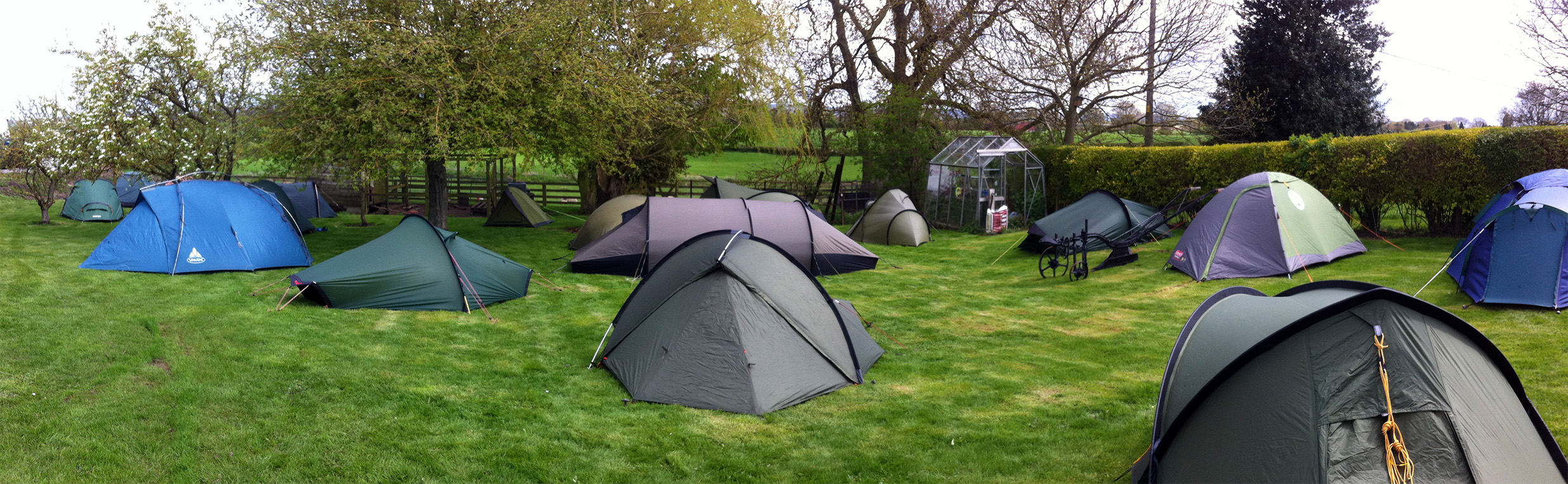
Arrived at HQ around 12 pm to an alien invasion, and to find the hosts having the slight problem of no electricity to the building. They soon fixed it and I went off in search of beer supplies for later. Then it was a case of waiting for riders returning, ringing cow bells at them and drinking beer. Dean’s photos here: https://www.flickr.com/photos/30024450@N04/sets/72157666457595807
I last did this three years ago shortly after moving to Leeds, then 2016 was a year of surgery and no rides, and last year I ended up on the shorter Leap into the Aire after a travel-to-the-start cock-up. The train from Leeds arrives in Mytholmroyd 6 minutes after the start, so I was always going to be ‘behind’. I was happy that the ride up out of Hebden Bridge and down to Oxenhope was easier than on the first occasion. Mist was lifting out of the Worth Valley ahead and the views were great.
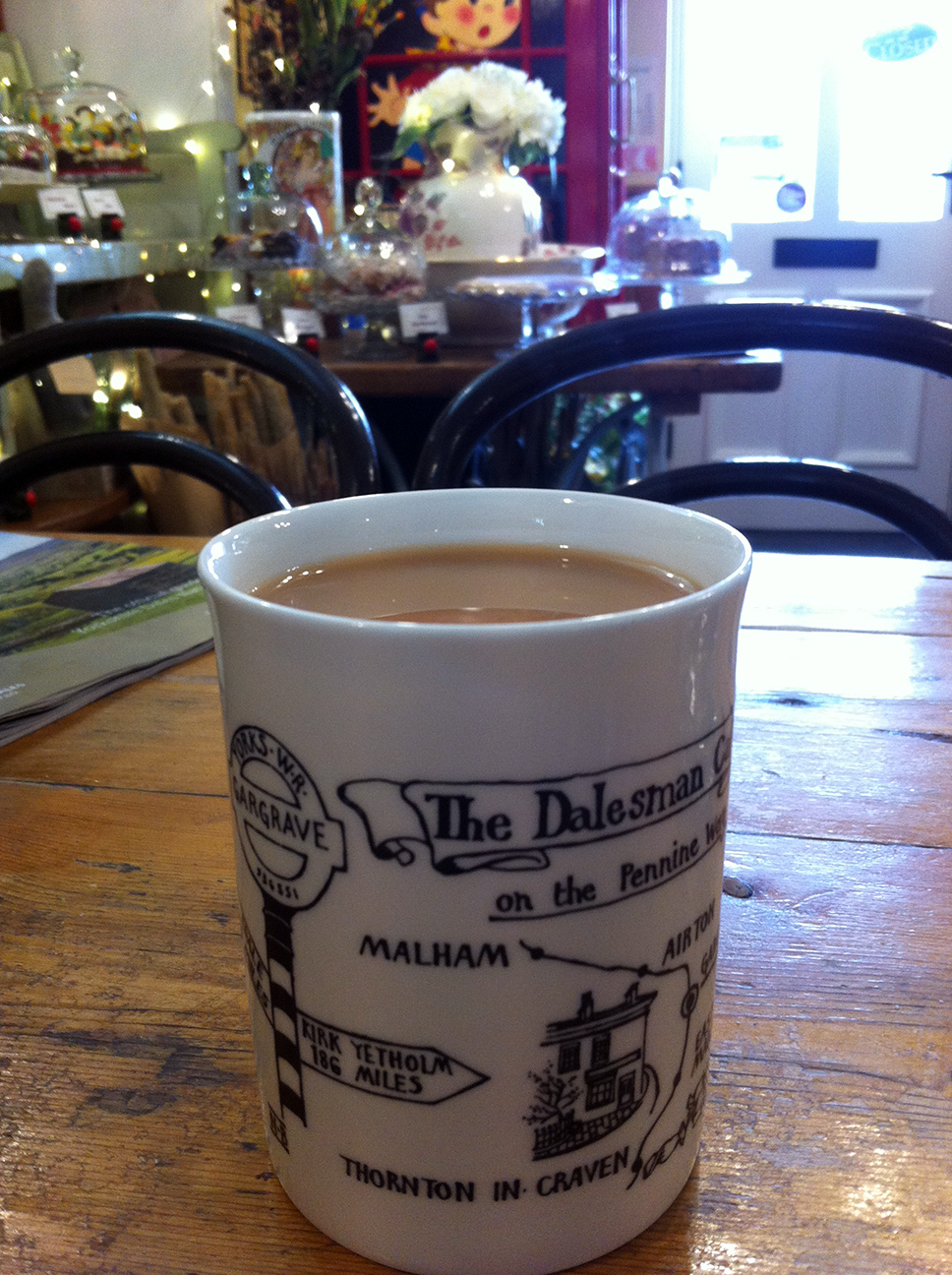
The rest of the hills, of which the ride is entirely consisted, were hard going. I got to the checkpoint at Earby around the same time as a few others, but got going again as quickly as I could, pausing only to down a banana. The first control proper was at Gargrave and again I went into the Dalesman Cafe and wondered why there were so few of us in there, although this time my beans on toast were quite slow coming and rather low on the beans, so I’m not sure I’ll visit again. By the time I left the controllers were also leaving and there was no sign of anyone else on the ride, so I started to worry that I’d be brining up the rear for the rest of the day. Once off again I took a right turn prematurely but happily realised very soon and only added an extra km. Some nice lanes around here.
I saw a few other riders but wasn’t sure if they were actually doing this ride or just happened to be going the same way. I lost a couple of them near Bolton Abbey where we crossed the Wharfe so maybe the latter.
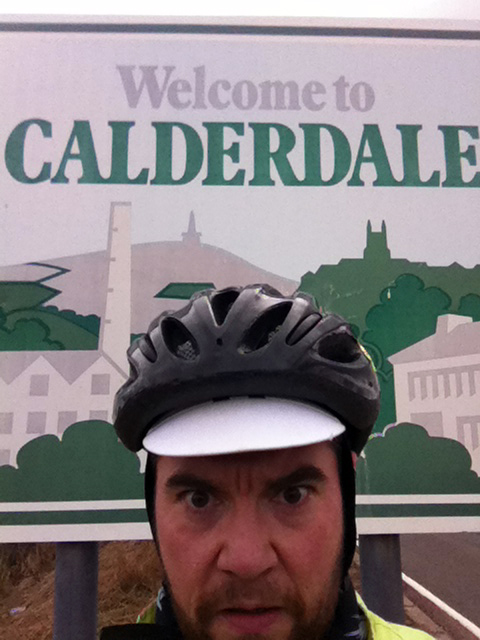
Blimey that bar bag is fugly. Arriving at the control in Keighley I was happy to find quite a few others and felt like I was on a calendar event after all. Rossi’s cafe is great. The person serving took a bit of convincing that yes I did want a large coffee; it was a small bathtub but I had found the ride hard going and it was just what I needed. With that and a chocolate-topped flapjack I was ready for the final 20 km back over Cock Hill. I actually enjoyed this climb both ways, it’s long but doable, in contrast with some of the steeper hills on this ride which in the latter stages had me asking “what the actual fuck?” when I saw the walls of tarmac coming nearer. I did make it up them all though. It’s not quite the hilliest ride I’ve done (the Season of Mists is a 2.5 AAA and got me a gold badge), but it is fairly early in the year, and they are just unrelenting. Thus my top-of-cock selfie is no reflection on Calerdale, which I was quite happy to be welcomed to.
117 km, average 18 kph (oh dear), riding time 6:29, total time 7:51, 2.25 AAA
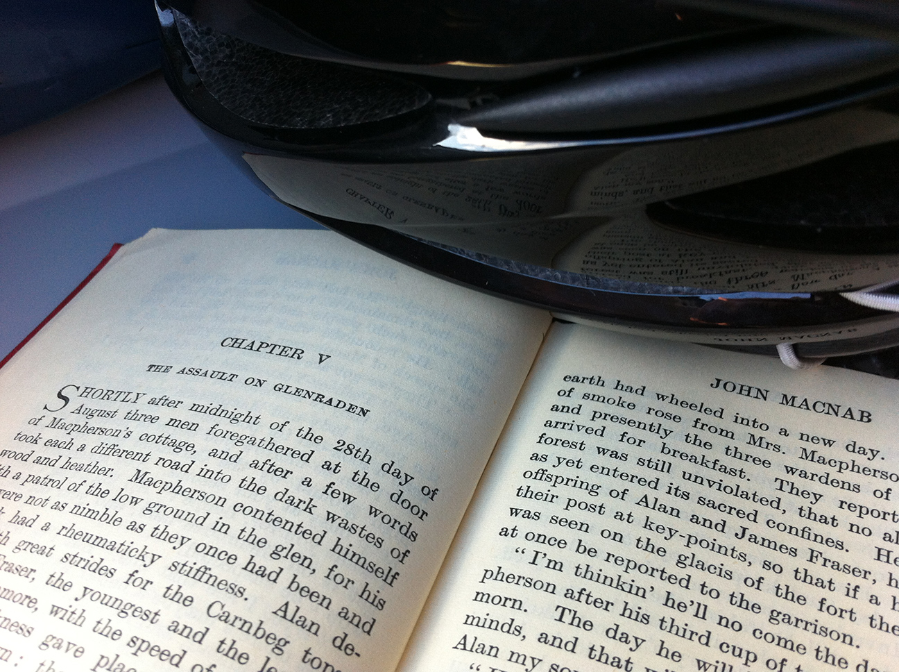
An adventure often calls to mind, or requires, or both, a book. This ride was to be a little adventure, and a little book was borrowed from the library; John Buchan’s John Macnab. Sir Edward Leithen and friends are experiencing what would probably be diagnosed today as ‘mild to moderate depression’ and end up playing poachers on three Scottish estates. Being away from their usual surroundings, physically challenged, and engaging in (what they perceive to be) a high-stakes game has the effect of making them feel ‘alive’ and improves their mental health. Now I find it an over-simplification to say that cycling keeps me sane, or that getting out on the bike makes me feel better; my current bout of depression started while I was riding more last year, increasing my distances in preparation for LEL. The lead up to and start of a ride are usually stressful times, not so much a question of physical ability (I’m reliably full-value, reasonably confident in my own slow ability) but social anxiety. The early stages can be uncomfortable with riders in close proximity, but as groups form and people find their pace I usually get my own little space and settle in to riding alone. Seeing people up on the road ahead, out of touch but a reminder of being on the same ride, is all I need. In general I find audax psychologically beneficial on a longer timescale than the ride, and sometimes not during the ride at all. It’s the sense of achievement, and in retrospect the shear bloodimindedness of it all, that I value. Some rides I hate the majority of the time I’m there (I won’t name the only one that I’ve resolved never to do again), but other times I do experience absolute joy in the moment. Like Leithen and his friends, once we sign up for a challenge something about the commitment keeps us going, no matter how foolhardy and indeed unnecessary it is.
So it was that I came to be emerging from my frosty tent on Selkirk leisure centre’s campsite one Saturday morning in March. There were no other campers and I had the newly refurbished facilities to myself, indeed I should have come in and slept in the warmth of the toilet block, but instead I wriggled into a down jacket and woolly hat at 4 am.
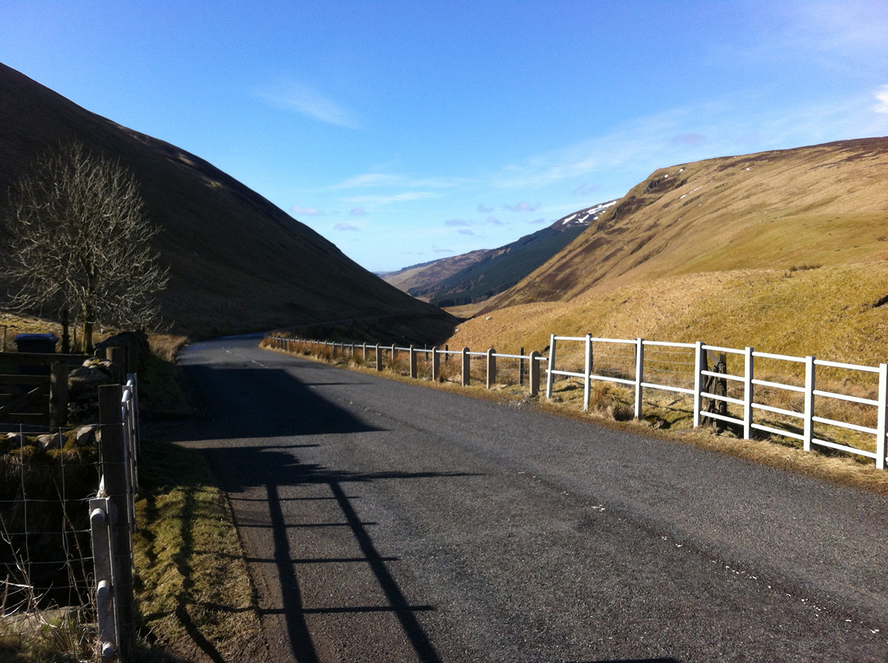
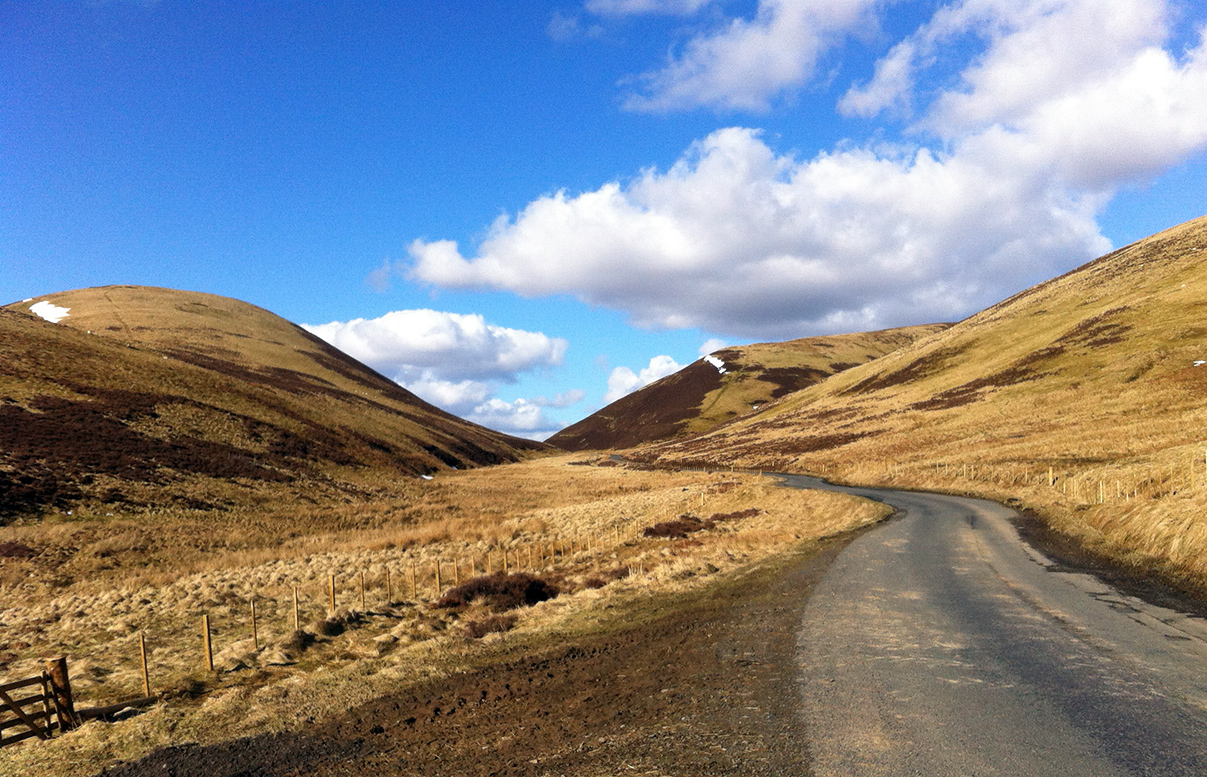
After the past few weeks of cold and snowy weather which had resulted in a number of audaxes being cancelled and the innvocation of the ‘severe weather policy’ it was a pleasant surprise to see the sun. It was too late for the original route of this ride though. We were riding the ‘snow edition’, with the road from St Mary’s Loch over to Tweedsmuir remaining closed because of snow. We missed nothing though, this was a cracking route and that sun stayed out all day. There were a couple of ice patches in the morning where the road was in the constant shade so I could see how those high narrow roads could easily stay blocked for some time.
Navigation was not demanding on this ride, and a good part of it was familiar. Essentially ‘left out of Selkirk sp Moffat, 53 km’ was the first section. The A708 is a great road, I’ve ridden it in the north west direction twicebefore so it was great to be going the other way – of course you see everything from the other side, but also the climbs where you can see the landscape more slowly are reversed. The sun was high enough and the road often on the southern side so that we were mostly riding in the sun. My left foot was quite happy but my right in the shade was still numb with the cold. The roads were in pretty awful condition in many places, here the problem was less large potholes but more the general overall lumpy surface. The route slowly climbs through snowdrop-filled Yarrow, then becoming more moorland. The hills slowly closed in, but stilll the narrowing burn flowed down, down; back the way we had come.
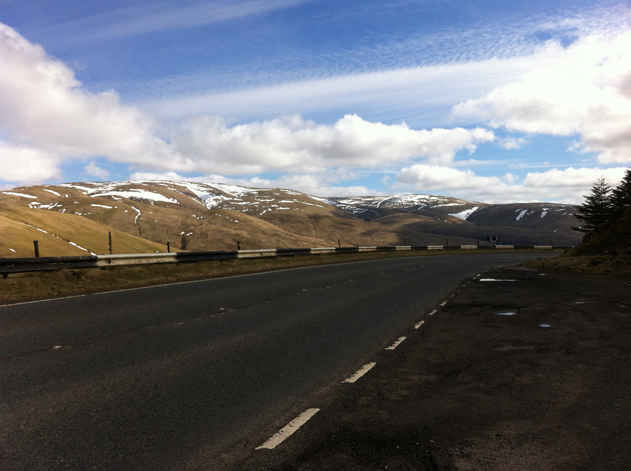
Eventually the top arrived, and the border with Dumfries and Galloway. Here were a few patches of ice but I was happy enough that just going straight and braking in between them would avoid any problems, especially with the road quiet enough to move right out when needed.
There were patches of snow on the hills all day and at the tops of the passes we rode alongside them. Keeping the right temperature was a balance all day long, climbing in the sun was warm but as soon as a shadows and descents appeared zips were pulled right up again. Stretches of the road around Grey Mares Tail had been fully resurfaced recently and the previous vibrations were soon forgotten, although there were still a few lumps and after one I noticed a rubbing noise. I’m having an ongoing battle with rear mudguards and on stopping in Moffat I realised this was yet another break. This is my third rear guard of the same type…what’s the definition of a fool, someone who keeps doing the same thing and hoping for a different outcome? I think I should just switch to gaffer tape suspended by mudguards stays, which is more or less what I have now, albeit interspersed with bits of actual plastic.
Moffat was a trip to the Rumblin’ Tum, reliable as a quick provider of nice grub and possessor of a stamp. The controls were nicely spaced on this route, all about 50 km apart and before a climb. This climb was the Devils Beeftub (A701), local from my youth when I was fat and unfit, and being driven/driving up this way I always dreamt of riding up here one day. Having done this with 600 km in my legs on LEL I knew it would be fine, and it really is a great climb, on and on but never too steep.
Over the top and the road meets the start of the Tweed, to be followed now as far as Innerleithen. I thought about crossing it yesterday by train in Berwick, and wondered how long it would take the snow patches that were melting today to end up in the sea off the east coast. We briefly cross Scotland’s watershed on this ride, which coincides with the regional borders around Moffat. I wondered whether it would have been any different in Buchan’s day; probably not much, the snaking burn and road and the shape of the hills must be fairly unchanged. The roads were still quiet, among the few cars passing I noticed a Bentley. After a little while I met it again along with another car, stopped in the road, and realised there was a third in a low ditch on the other side. It had gone through a wall and was lying on its side with the windscreen smashed out. I stopped to see if I could help but they said they were fine, there was someone still in the car but they seemed to be engaged in banter with one of the others (“at least it’s not raining” etc) so I hoped that was a good sign. Soon after I set off an ambulance passed and then a couple of police cars.
Just before Broughton we turned off and I was now on unknown roads towards Peebles. There was a mountain bike event on, and I think full suspension would have been useful just for the road surfaces here. I was generally uncomfortable now and a little miserable, and looking forward to a stop in Innerleithen. I’d calculated that Melrose, the final control, would be too late at my speed for a cafe so wanted to sit down and have a warm drink here. Some sort of cyclists’ gravity means that those of us who are slower needed to ride further to find a cafe with space, but the Whistle Stop Cafe was a nice find even if their till clock was running an hour fast on the receipt (stilll within time limits!). My back was sore, which I know is because I had done no core exercises recently, so I had some ibuprofen here (bad habit from LEL) and it was much better for the rest of the ride.
Out of Innerleithen and we were again on a bit of LEL. This had been the end of a beautiful stretch back then, and I remember how weird it was descending these deserted moorland hills to suddenly find a golf course. Again it was great to experience the roads in the opposite direction, and as the road climbed along the Leithen Water and the hills drew closer in I decided this is definitely one of my favourite roads. The sun was sharp on the moorland hills and the roads empty, and I choked up a bit at the beauty of it all. It seems that the only thing that makes me cry these days is cycling and associated reminiscences.
Then we turned off towards Heriot for an info control, before heading south for Stow. We followed the railway line for a while, which had brought me down yesterday and would take me away again tomorrow. This is the most ‘new’ (previously Beeching’d) railway line built for a considerable time, and if it didn’t exist I wouldn’t have been up here riding. Thanks to the Scottish government, and David Steele if I remember correctly. So far the route had been steady climbs and descents but after Stow (unless going off piste which was an entirely reasonable option, good choice Lucy McTaggart) there was a shocker of a hill which had me cursing at the org at the top. Apparently this featured in the Scottish hill climbing championships in 2017. I soon forgave him as there were some great views here. Passing a wind farm I heard the whoosh-whoosh-whoosh as the blades of a close mill rotated. I’d heard similar before, unheralded, in the dark, but never before had I ridden through their shadows, racing towards and through the shadow of my bike going in the opposite direction.
Now we could see the Eildon hills above Melrose which would be visible for most of the rest of the ride. I got a bit confused with the route sheet (my confusion not the directions) and then there was a road closure but the guy working on it let me through and a local reassured me I was going in the right direction. I’d had a walk around here when I camped for last years Moffat toffee so once I could see the Chain Bridge I knew where I was going and headed straight for the Co-op, and crossed paths with Lucy. I’d done pretty well so far not to over-eat but here I had a sandwich and a big twix which I pretty instantly regretted; riding on a full stomach is never comfortable.
The final leg went out to another info which was a bit confusing as the route sheet described it as a T-junction, which did exist a bit further up the road. It took me a while further along the route to be convinced that I’d made the right choice. Lucy had left Melrose before me and arrived at the finish shortly after with an extra few kms so it seemed I had done. As usual the final 10 km seemed to go on forever but once again there was no navigation required so I didn’t bother with my head torch and so couldn’t see how far was still to go or how fast (or indeed slow) I was going, I just practised a bit of being in the present, which I’ve been working on recently. Keep going and you’ll get there. Sure enough almost out of nowhere a T-junction with the A7 appeared and there was the arrivee right next to it – I’m glad I was paying attention and didn’t sail on back down the hill to the town centre only to have to climb back up again, like a few others. Plenty of food at the finish which was great, and I did it in 11 hrs 30 which I was pleasantly surprised by. Then a freewheel down to the campsite, shower and bed. I was quite happy that the clocks went forward as it meant one hour fewer in a frosty (again) tent before getting the first train to Edinburgh from Tweedbank the next morning.
Leithen and his co-conspirators fully exercise and exorcise themselves in John MacNab. Taking themselves out of their usual surroundings and putting themselves ‘in danger’ was sufficient to shift their minds. I was actually surprised by the turns the story took in the later stages; [spolier] the recognition of friends and the security that their place in society provides (so not actually ‘danger’). You can’t read John Buchan now without gagging on the racism, classism and misogyny, but this one has a strong female character and at least some self-awareness at the end.
It’s an over-simplification to suggest that feel bad -> go for an adventure (long bike ride) -> feel better always works. Perhaps it’s rather that making myself do these things keeps a wolf from the door.
207 km, average 21.6 kph, 9:42 hrs riding time; 11:30 total time
Last year I did the longer (200 km) version of this ride; looking at the route is hard to believe it’s only an additional 85-ish km. This was far more pleasant, starting and finishing in the light. It was certainly long enough for me to be doing having not ridden anything long for sometime.
You need to be fairly confident riding in traffic for these rides as they are mostly A roads, and I did have a number of daft overtakes and close passes. Eavesdropping on a conversation at the cafe control one bloke was saying that the 200 km is thought to be the oldest on the calendar and probably originated as a local club reliability ride pre-Audax UK (est. 1976), but no one remembers. Certainly the roads would have been quieter then.
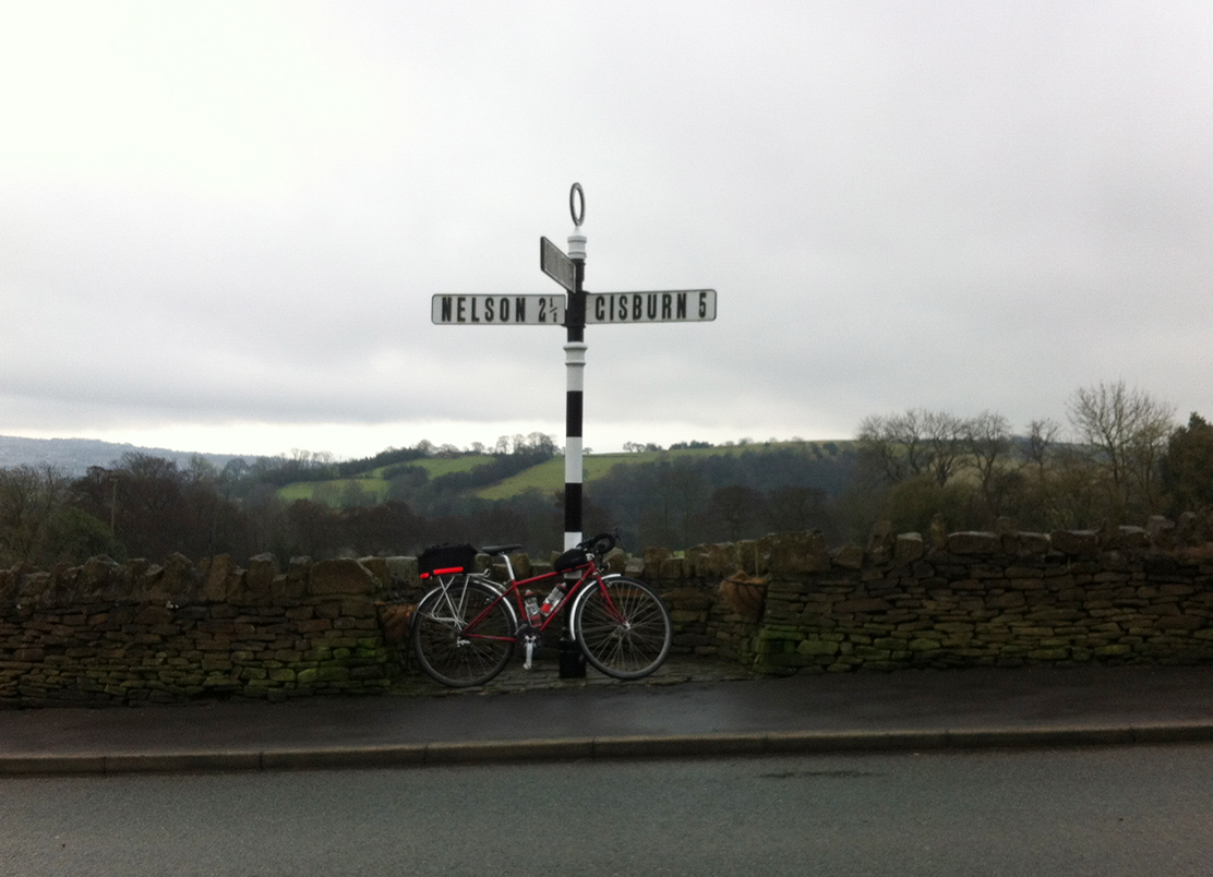
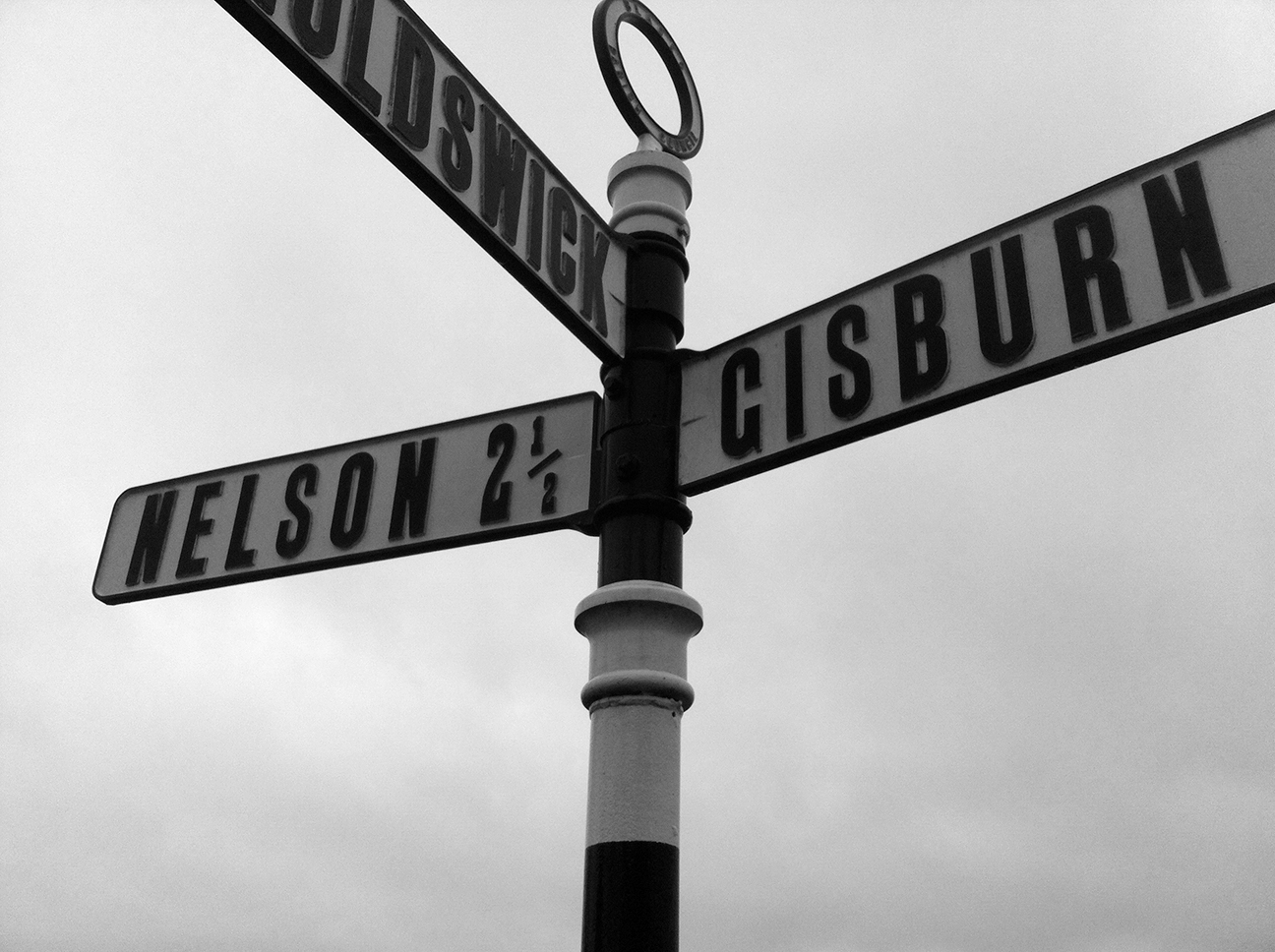
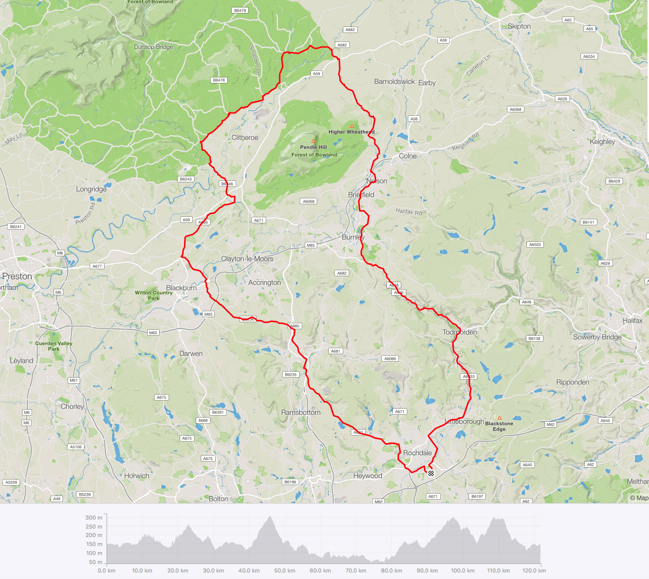
It was cold and wet at the start and riders were coming and going, some seemed to be on the 200 km (which started an hour earlier) and only just starting, so at 8.55 am I decided to get on with it rather than wait around. Perhaps I missed some information about a road closure (which turned out to be passable by bike as is often the case) but I don’t know. The route follows canal and railway line through Littleborough and Todmorden then head up to Holme Chapel and Clivinger, which is a nice section, the steep valley sides had a dusting of snow on the top. Then through urban Burnley and Nelson before Blacko, where I stopped to take a photo for comparison with the last one.
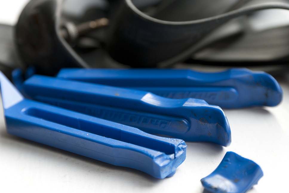
The weather was backwards on this occasion, it got better as the day went on. Over the highest point of the ride then down to Lisburn for an info control. This was nice steady climbing. Then a lower flat section, where a road closed sign blocked the route but I continued on and there was still half the road left (and no work being done at the time). Unfortunately the road surface was littered with debris and I soon heard a noise coming from my front tyre. I stopped just 3 km short of the control to find a piece of glass and a slowly bubbling tyre. I don’t get many punctures so I’m not very fast at changing a tube. I managed to break a tyre lever, and the roads weren’t very clean so I was spreading mud and probably worse over my hands and tights, but at least it wasn’t raining now.
Eventually I got to the Country Cafe control in Waddington, recently visited on the Season of Mists.
After this a nice profile of Pendle Hill is available when there is less cloud. It did lift later.
Back over the Ribble and around the edge of Blackburn. Here the route directs riders to turn right at a roundabout for the M65, which was horrible last year so I had spent a bit of time on google street view and found that I could cut it out by going along the towpath underneath (Leeds and Liverpool canal). The sun was putting in an occasional appearance now and there had only been a few spot of rain (and hail) so I stopped to take off my waterproof and replaced it with a windproof gilet. Up over Oswaldtwistle Moor, where I thought I might expire last time. So much tamer in the sunlight and it was easier than I was expecting. Another ‘highest point’ of the ride (303, 297 and 295 m peaks).
Through Haslingden and Edenfield, then the final climb up to Ashworth Moor Reservoir. I was looking forward to this as it had been one of the few highlights of last years ride. It’s a nice road with good views but the overtaking traffic took some the enjoyment away, especially on the fast descent when a car came past into oncoming traffic then promptly turned left, causing me to brake.
On the last section through Rochdale I was unsure of a junction (named destination on route sheet wasn’t on the sign) but fortunately another rider appeared at the red light and said his GPS was indicating right. Maybe this is where I went wrong last year. We got separated at other lights further along (where a driver stopped and asked me if I would send my camera footage to the police if he went through the red light – I was able to reassure him he was quite safe as the thing on my helmet is a light, but the fact that it can be mistaken for a camera is no bad thing), but he kindly waited up ahead to make sure I was still on track. The last few junctions were a repeat of my way in from the station but when I called a left (which cuts a little corner off) he decided to go with his GPS so I arrived a couple of minutes before him.
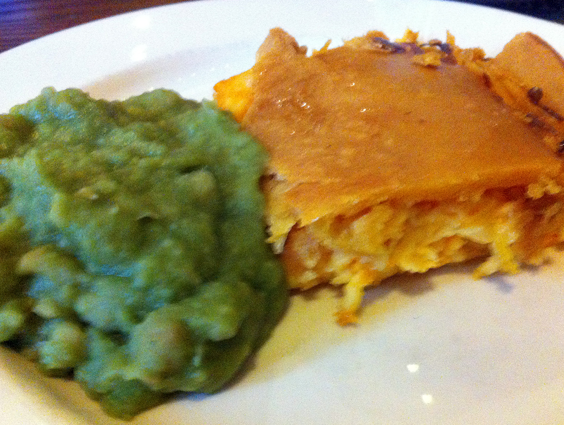
Howard, which his name turned out to be, and I both took advantage of the veggie pie and peas option laid on for finishers at the pub.
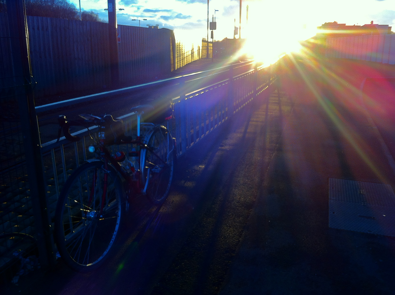
Back to the station and there was some very nice light on the hills we’d just come over, and the last of it did its best to make Rochdale look appealing.
Establishment-names of the ride: Fecit Farm, and Only Foals and Horses stables.
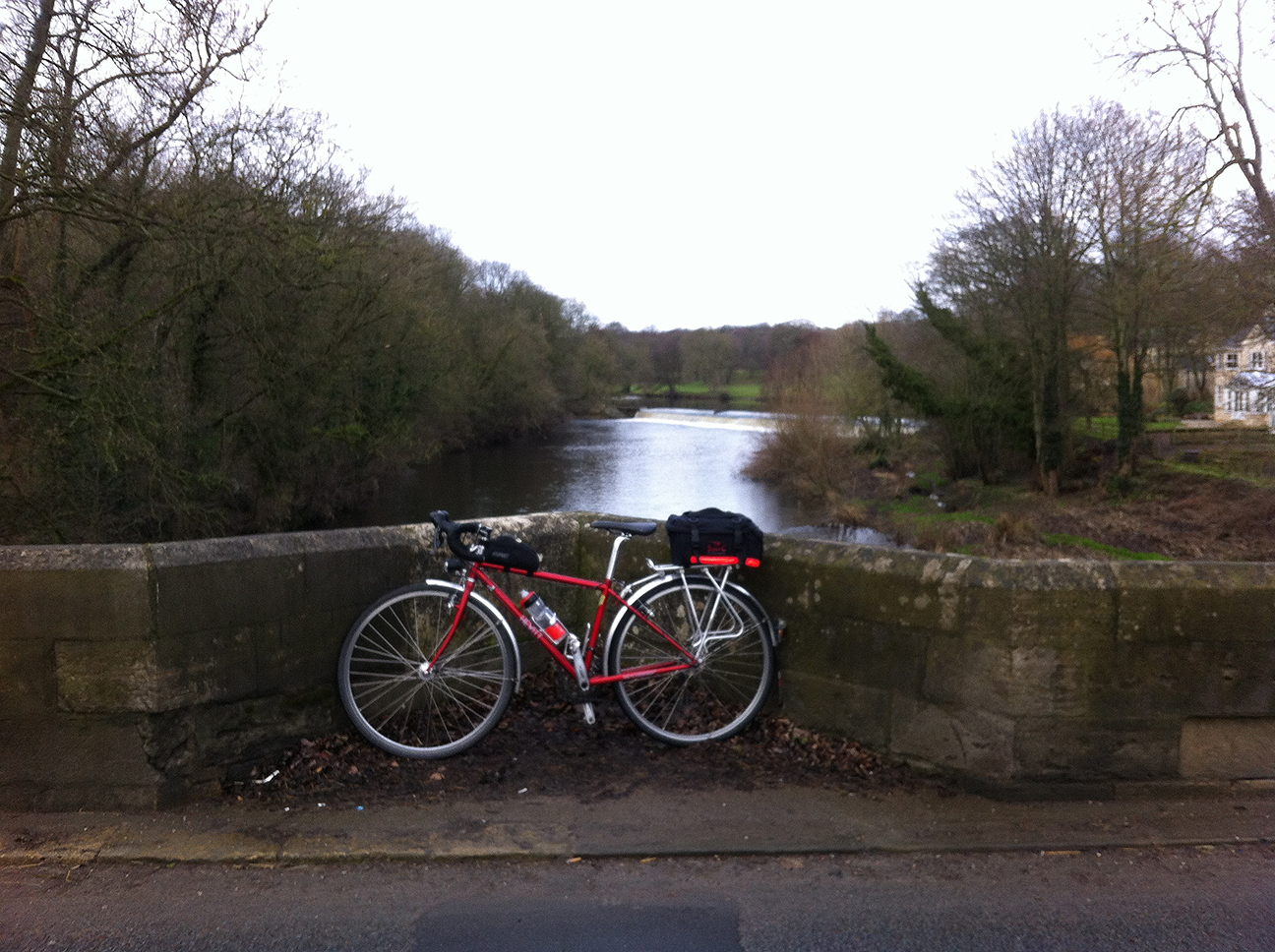
A cold day, glad of my four top layers and thermal tights. Toes never had feeling. Routes around this way are very much dictated by river crossings; Tadcaster (no photo) and Thorp Arch, just after which I recognised a control from Goodbye Xmas Pud. Happy to report that although it was a slow ride my hill climbing and weight are both improved since then.


