linear walks

Ingleborough again

07/01/18

Off the bike and a fantastic weather forecast, so revisited Ingleborough although this time a linear route from Ribblehead to Horton. It was a Sunday so the trains were few and far between…happily the pub was open, and the waiting room in the station was warm and dry.

Whernside and the Ribblehead viaduct Pen-y-ghent Path up towards Ingleborough Towards Whernside Ingleborough

Top of Ingleborough Top of Ingleborough Top of Ingleborough Top of Ingleborough Top of Ingleborough

Ingleborough Limestone pavement near Horton-in-Ribblesdale Paths in the Yorkshire Dales

Route map

Ingleborough: Hewitt, HuMP, Marilyn, Nuttall; 724 m/2,375 ft

Great Knoutberry and Blea Moor

16/08/16

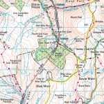
Another walk from Dent to Ribblehead, this time on the eastern side of the train line.

Dentdale

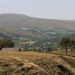
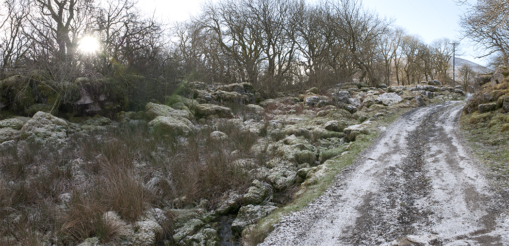
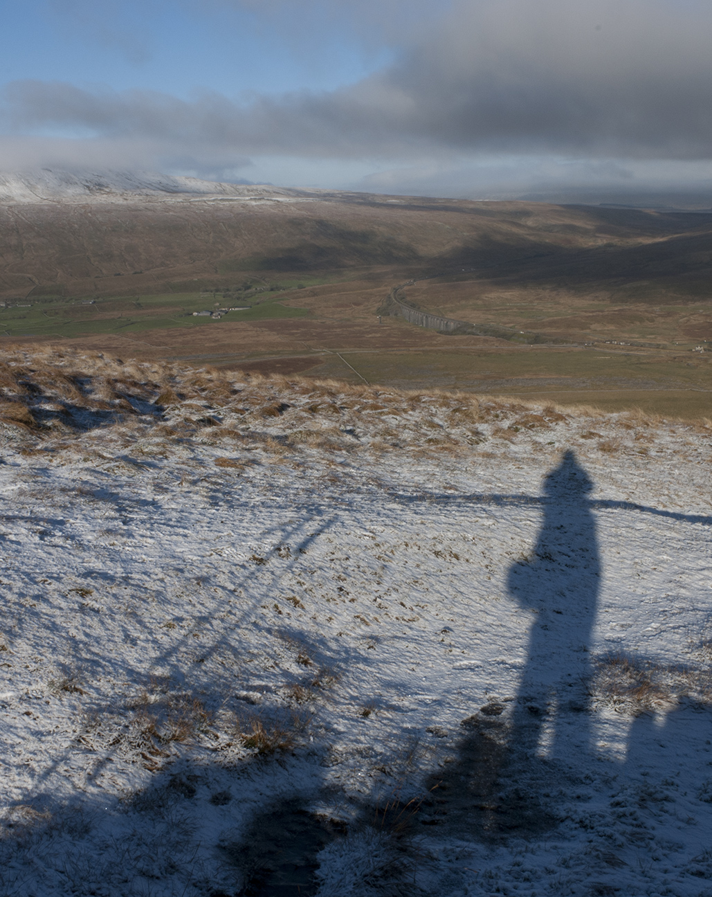
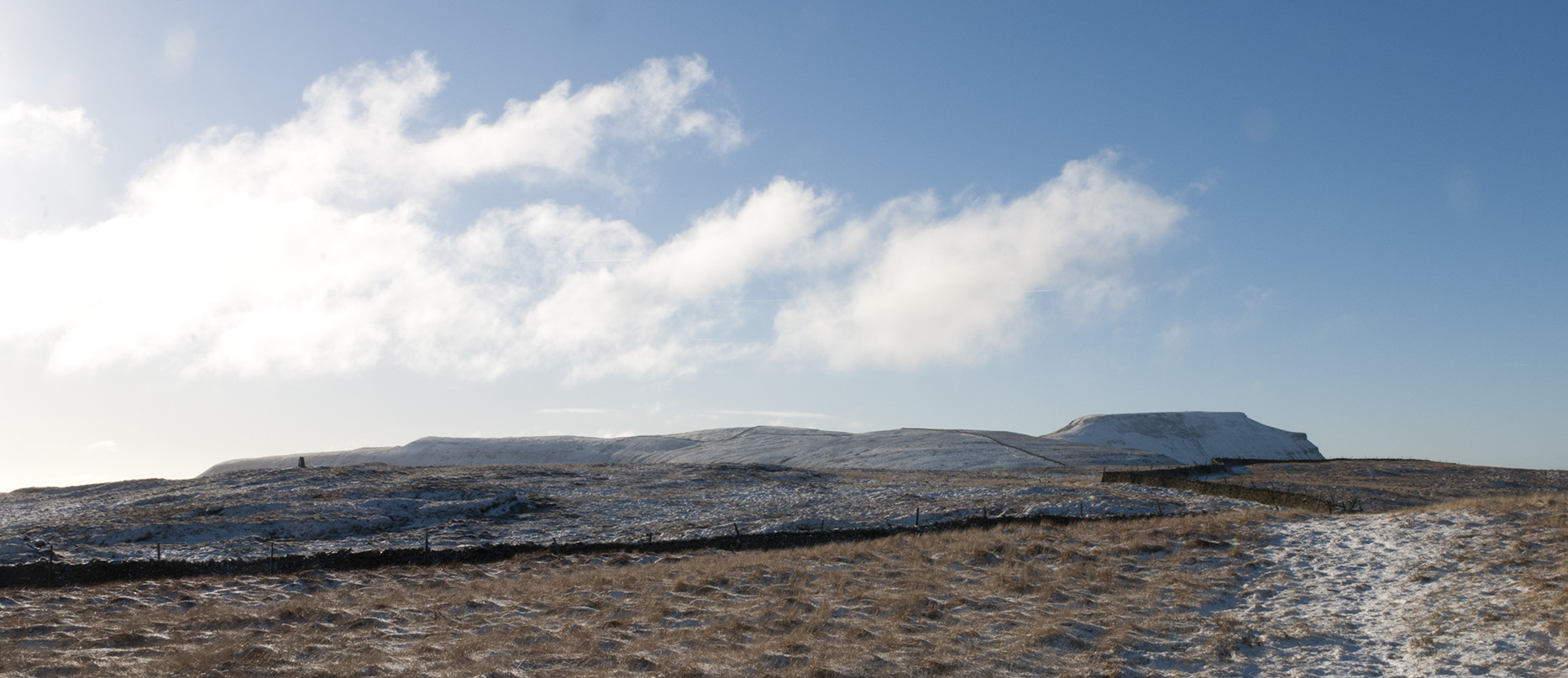
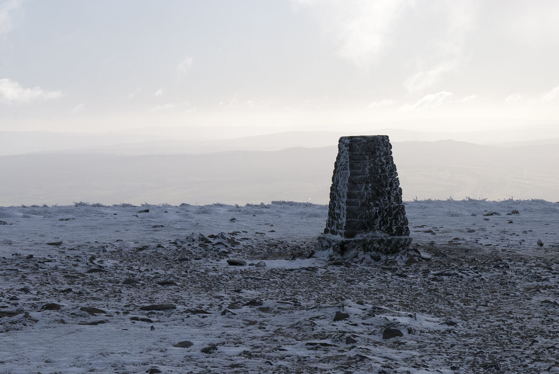
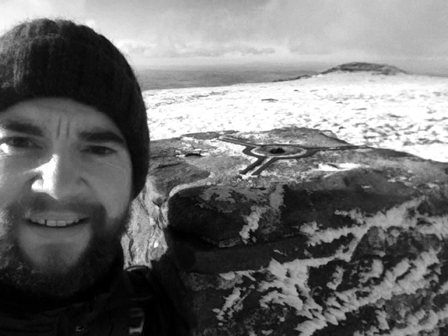
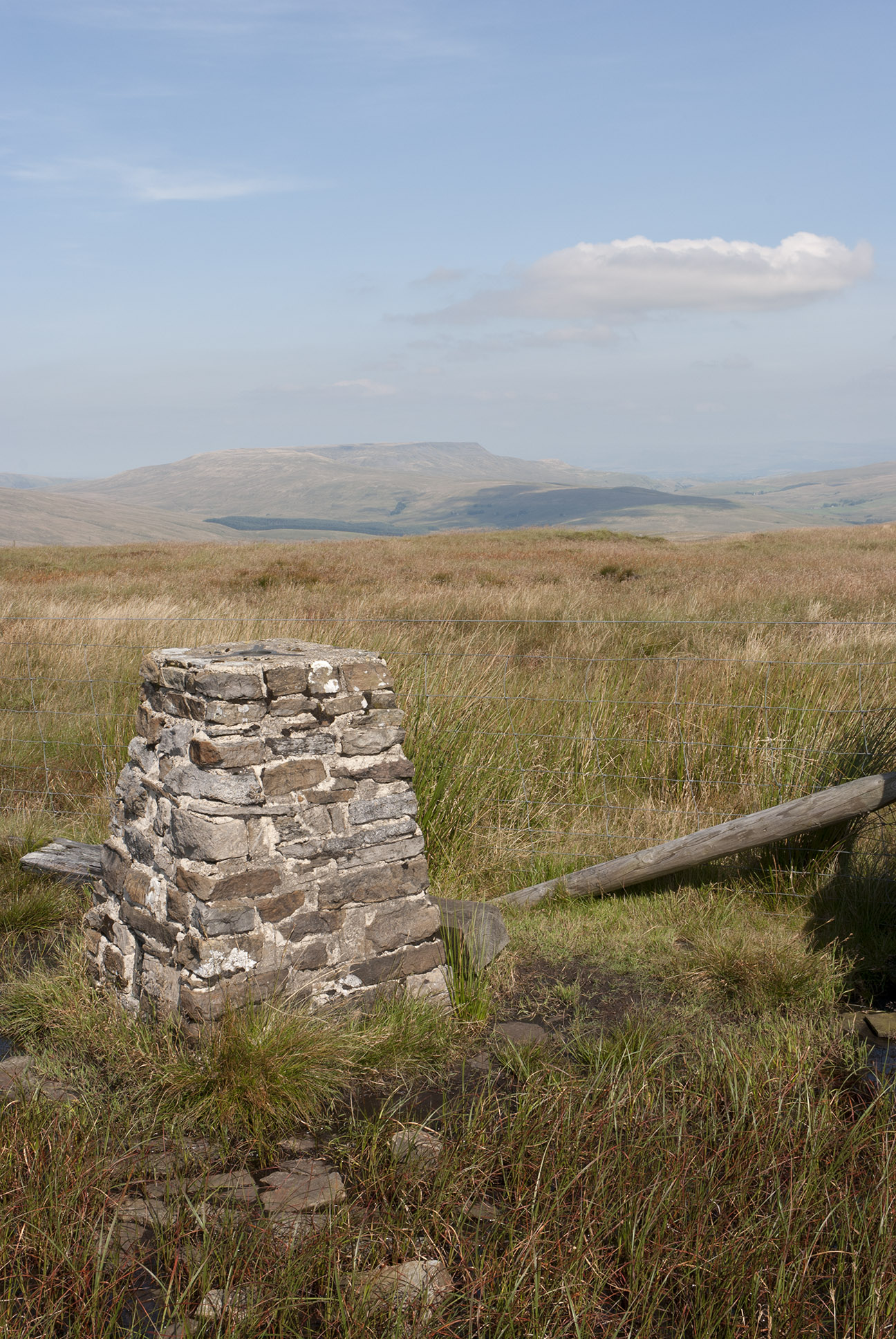
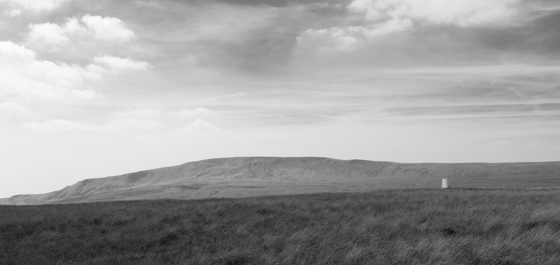
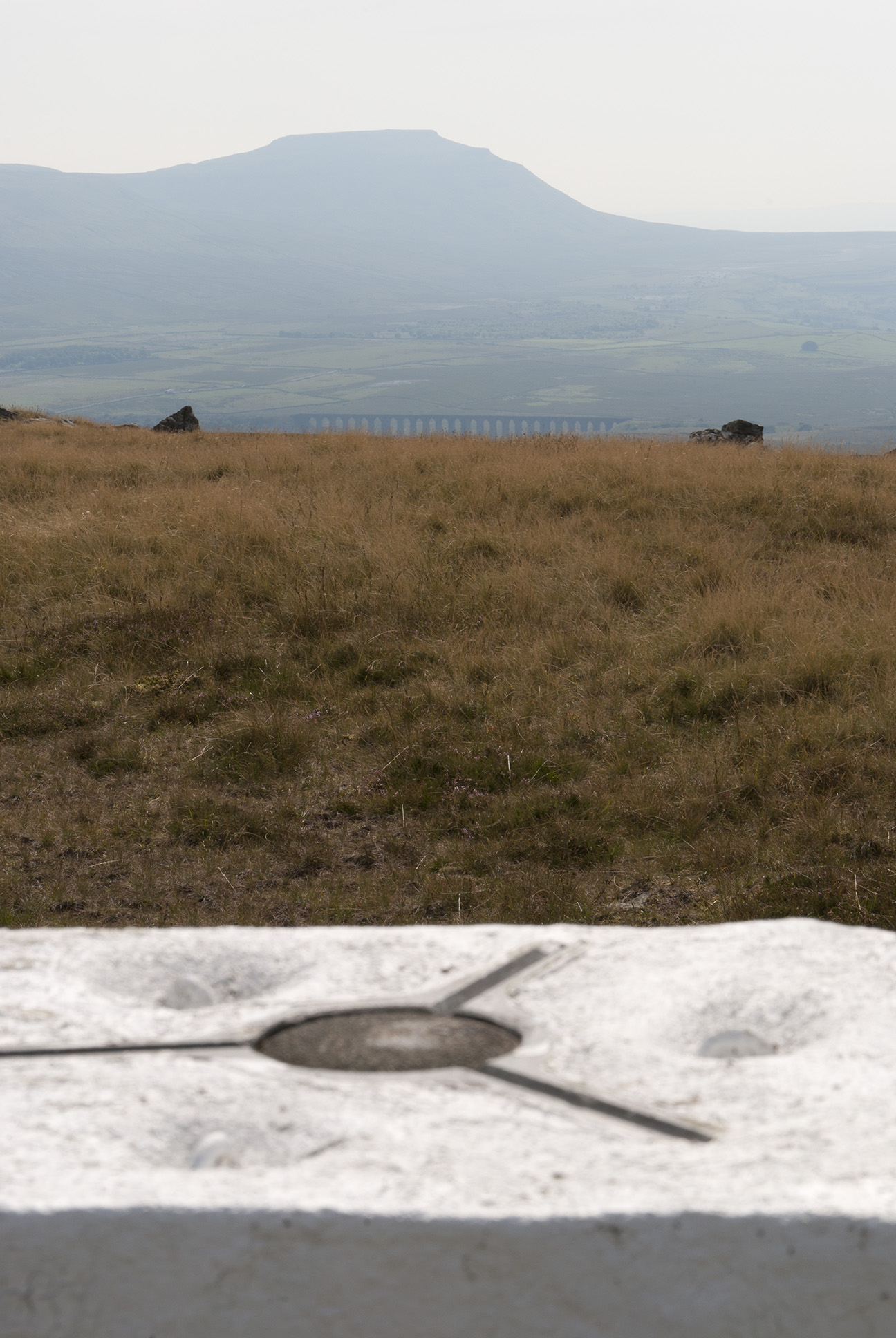
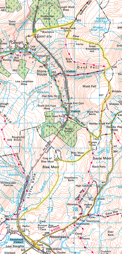
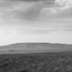
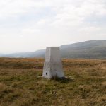
Following the road up from Dent station I joined the Pennine Bridleway as it follows the contours of Great Knoutberry.  Leaving the track I followed a fence up towards the trig point, from which all three peaks can be seen – visibility was good if a little hazy.  Curlew were disturbed on the way up, although I don’t think it was only me as there was a large bird hovering above.  As well as the trig point at the top there is a also a nice wind shelter; a section of wall with stones protruding as benches on either side.

Great Knoutberry Hill trig point The Three Peaks from Great Knoutberry Hill

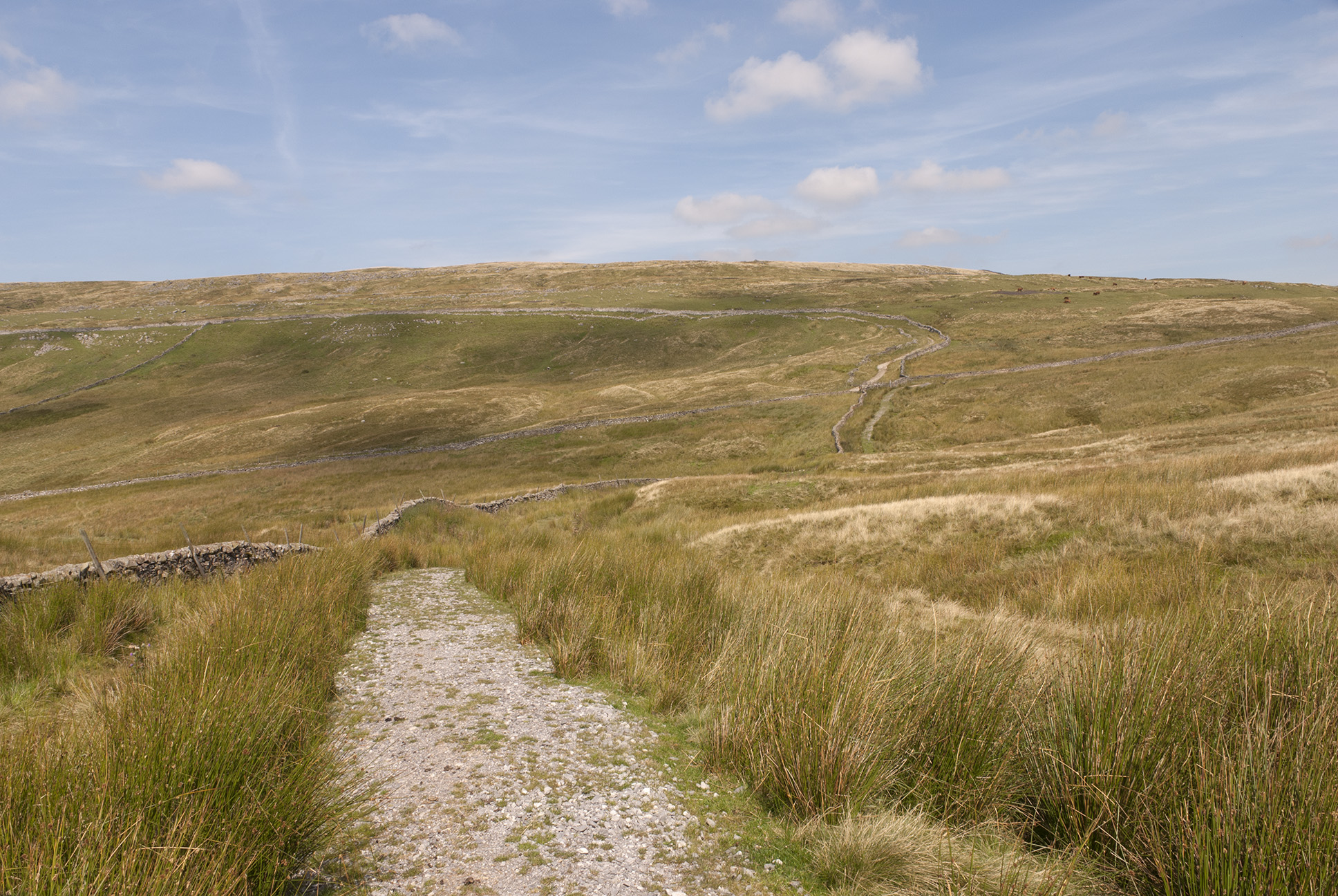
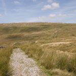
Navigation was so easy as to verge on boring but I still almost followed the wrong fence down from the summit.  The correct fence is also the Cumbria/Yorkshire border.  Eventually I met the track at Aysgarth Moss which was a cross roads of bridleways; the west-east track being an old drovers road between dales.  I took the north-south route around Wold Fell which is a restricted byway, although given the more stringent restrictions on the surrounding routes I’m not sure how you could make the most of it.  This is a fine track and I would like to revisit it on a mountain bike.  There were lots of wheatears which were curious but seemed to find rabbits’ burrows a useful shelter when I got too close.

Bridleway Bridleway

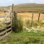
The track meets a road for a few hundred metres before continuing around Blea Moor.  I stopped for lunch at the first gate and was visited by a curious weasel – it looked at me as if I was sitting in its way.  After a couple of laps of what is presumably a well-trodden route, followed by discrete surveillance from a patch of reeds the weasel disappeared.  Very quick and difficult to photograph but a lovely moment.

Weasel

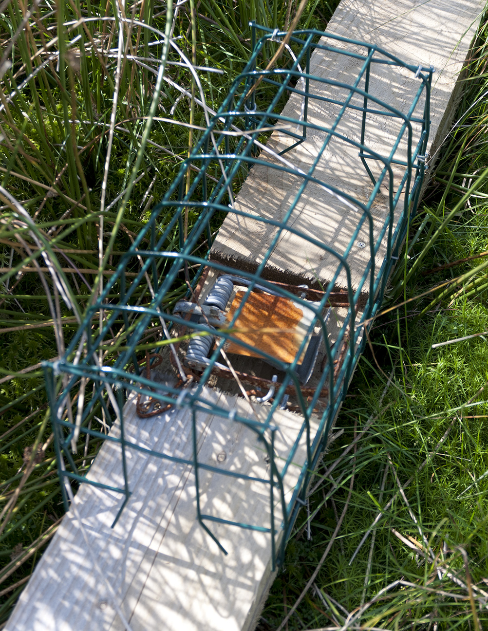
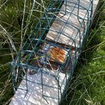
Although following bridleways was easy it had become a little dull so I decided to change my plan and head up to the summit of Blea Moor.  This involved more fence-following and lots of bog-dodging.  A vehicle had been driven over here recently – probably to repair the fence judging by the old rusted sections and new posts and wire – which made tracks to follow.  At the most difficult section I thought I was going to have to use the fence as a bridge but instead found a reasonably clear crossing.  I saw a couple of traps and wondered if they were for the weasel…perhaps it had been threatening the grouse population.  I only saw a couple of grouse, maybe after the 12th most of them have gone.

Trap found on hillside Trig point on Blea Moor

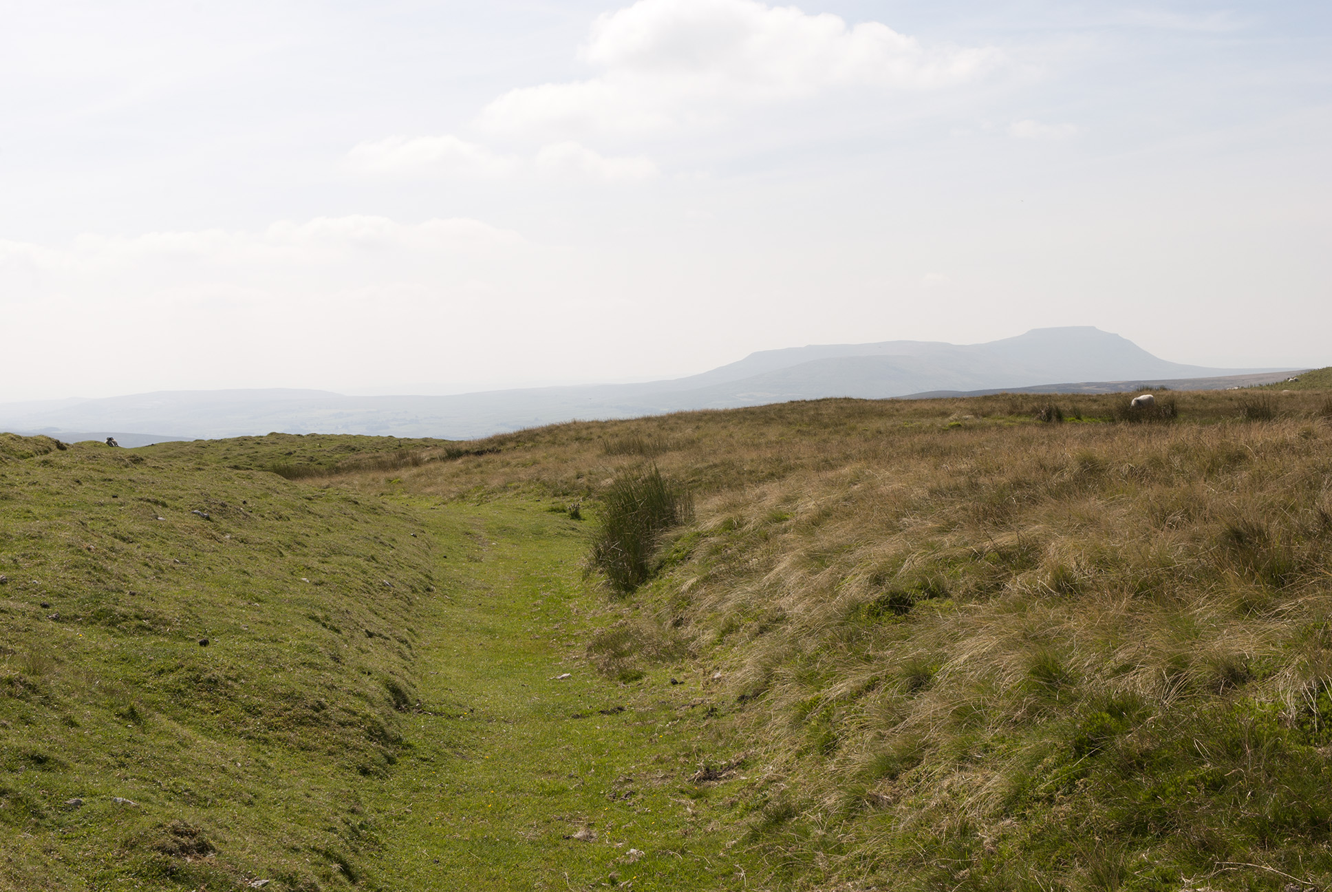
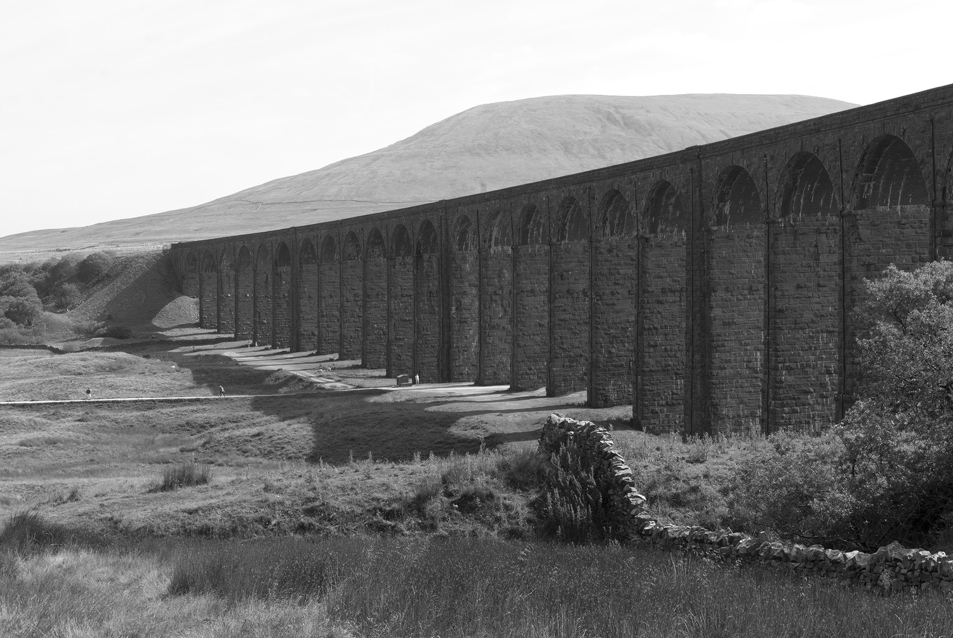
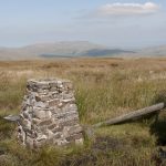
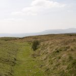
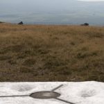
A fence junction was near the trig point of Blea Moor – there are air shafts near but out of sight, over the railway tunnel.  The best way down seemed to be to follow yet another fence – one now fully in Yorkshire.  A bit of bog-dodging was required, and eventually I met the path which follows the railway.  This was the first time I had seen other walkers since I left Dent station.

Trig point on Blea Moor Towards Pen-y-ghent from Blea Moor Ribblehead viaduct

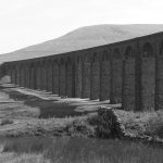
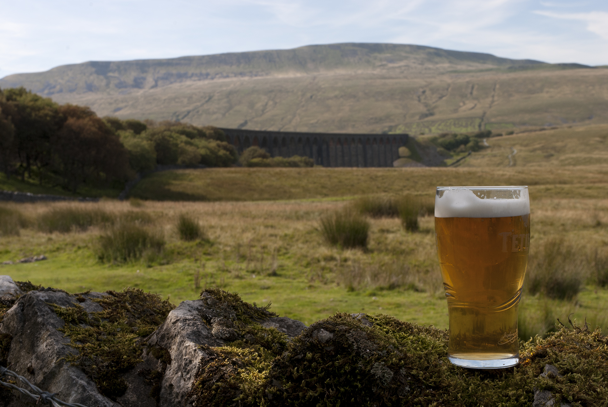
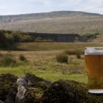
I saw the 3.42 pm train come and go, so was happy that I had a couple of hours before the next one to spend in the Station Inn.  A better back garden is hard to imagine.

Ribblehead viaduct from the pub map of route

9.7 miles, 1,657 ft climbed
Great Knoutberry Hill, 672 m; Marilyn, Hump, Hewitt, Nuttall,
Bleh Moor, 535 m; Hump, Dewey

Whernside

23/01/16

Whernside from Dent station, finishing at Ribblehead, staring with a walk along the road beside the little River Dee and the Settle – Carlisle train line.

River Dee, next to the railway line near Dent North entrance to Bleamoor Tunnel Railway line near Dent Head Viaduct

There is a very straight path directly over the Bleamoor tunnel, with several air shafts along the way.

Path towards Blea Moor Air shaft above Bleamoor Tunnel Ingleborough from Blea Moor

Then up to the top of Whernside through a few snow patches.

Whernside Path on Whernside Snow on the path on Whernside Snow on the path on Whernside Looking towards Dentdale from Whernside


Cloud on the top came and went.  We could see Ingleborough with a permanent toupeé.  The wall marks the boundary between Cumbria and North Yorkshire, the trig point is on the Cumbrian side.

Summit of Whernside Summit of Whernside Towards Ingleborough and Ribblehead Viaduct from Whernside Dentdale from Whernside Snow on Whernside Trig point on Whernside Walkers at Trig point on Whernside

After a steep but thankfully not icy descent we walked under the Ribblehead Viaduct just as the light faded and the rain started.

Looking towards Ribblehead Viaduct Whernside ridge, looking south Whernside ridge, looking south Whernside ridge, looking south Sheep and the Ribblehead Viaduct


whern160123_route-elev Whernside route

10.5 miles

Whernside, 763 m; Marilyn, HuMP, Hewitt, Nuttall, County Top (North Yorkshire)

Rombald’s Moor

04/04/15

Any navigation around Ilkley is buggered due to the large number of paths in existence; nose-following seemed the best plan which eventually got me to the Cow and Calf rocks.

Ilkley Moor Cow & Calf rocks, Ilkley Moor Footsteps worn in Cow & Calf rocks, Ilkley Moor Cow & Calf rocks, Ilkley Moor Cow & Calf rocks, Ilkley Moor

On over paved pathways to the peak at the trig point, then after visiting some stanza stones and a cross, lunch in the shelter of a wall.  For a brief moment I thought I had seen a very hardy chicken, but on later examination of the bird book it was revealed to be a red grouse.  There were quite a few of them about, strutting their stuff.

Menwith Hill and wind farms near Harrogate Rombald's Moor Rombald's Moor Rombald's Moor Stanza stones on Rombald's Moor

There used to be a Keighley to Ilkley road, no longer passable by traffic but a few cars had stopped at the top…and some scrote had dumped building rubble in a lay-by.  Which part of someone’s brain thinks that driving up to a viewpoint is the best way to offload some crap?  Drive to the dump, how much more work is that?

Rubbish dumped on Rombald's Moor

The final stretch followed a great path through a quite different landscape down a glen alongside Bradup Beck.  It would have been more peaceful without the clay pigeon shoot.

Route of walk on Rombald's Moor


Rombald’s Moor: Marilyn, HuMP; 402 m/1319 ft

9.8 miles

Start Ilkley train station, finish Crossflats train station