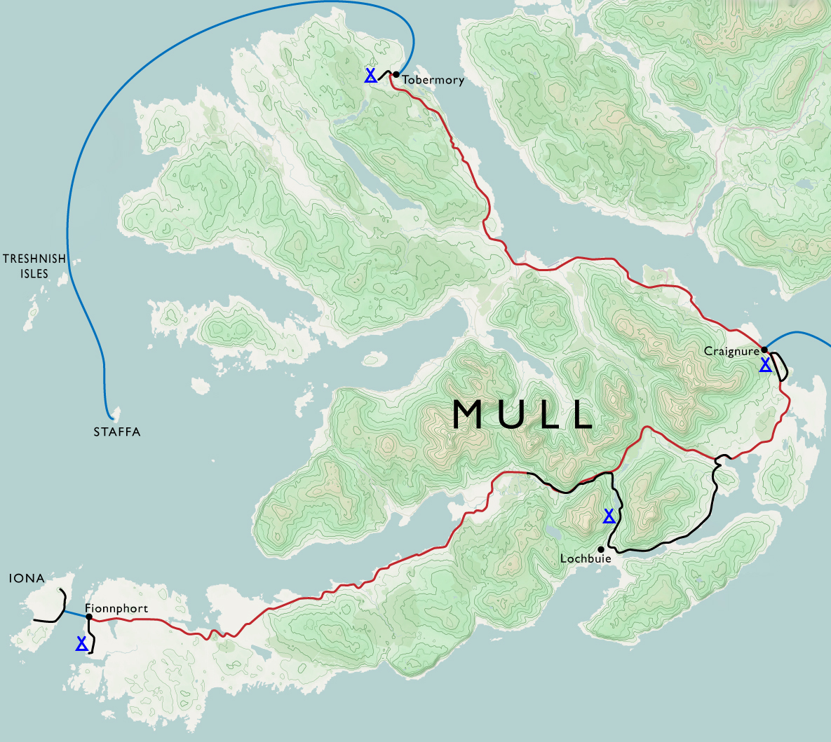
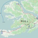
HuMP

Ingleborough again

07/01/18

Off the bike and a fantastic weather forecast, so revisited Ingleborough although this time a linear route from Ribblehead to Horton. It was a Sunday so the trains were few and far between…happily the pub was open, and the waiting room in the station was warm and dry.

Whernside and the Ribblehead viaduct Pen-y-ghent Path up towards Ingleborough Towards Whernside Ingleborough

Top of Ingleborough Top of Ingleborough Top of Ingleborough Top of Ingleborough Top of Ingleborough

Ingleborough Limestone pavement near Horton-in-Ribblesdale Paths in the Yorkshire Dales

Route map

Ingleborough: Hewitt, HuMP, Marilyn, Nuttall; 724 m/2,375 ft

Great Knoutberry and Blea Moor

16/08/16

Another walk from Dent to Ribblehead, this time on the eastern side of the train line.

Dentdale

Following the road up from Dent station I joined the Pennine Bridleway as it follows the contours of Great Knoutberry.  Leaving the track I followed a fence up towards the trig point, from which all three peaks can be seen – visibility was good if a little hazy.  Curlew were disturbed on the way up, although I don’t think it was only me as there was a large bird hovering above.  As well as the trig point at the top there is a also a nice wind shelter; a section of wall with stones protruding as benches on either side.

Great Knoutberry Hill trig point The Three Peaks from Great Knoutberry Hill

Navigation was so easy as to verge on boring but I still almost followed the wrong fence down from the summit.  The correct fence is also the Cumbria/Yorkshire border.  Eventually I met the track at Aysgarth Moss which was a cross roads of bridleways; the west-east track being an old drovers road between dales.  I took the north-south route around Wold Fell which is a restricted byway, although given the more stringent restrictions on the surrounding routes I’m not sure how you could make the most of it.  This is a fine track and I would like to revisit it on a mountain bike.  There were lots of wheatears which were curious but seemed to find rabbits’ burrows a useful shelter when I got too close.

Bridleway Bridleway

The track meets a road for a few hundred metres before continuing around Blea Moor.  I stopped for lunch at the first gate and was visited by a curious weasel – it looked at me as if I was sitting in its way.  After a couple of laps of what is presumably a well-trodden route, followed by discrete surveillance from a patch of reeds the weasel disappeared.  Very quick and difficult to photograph but a lovely moment.

Weasel

Although following bridleways was easy it had become a little dull so I decided to change my plan and head up to the summit of Blea Moor.  This involved more fence-following and lots of bog-dodging.  A vehicle had been driven over here recently – probably to repair the fence judging by the old rusted sections and new posts and wire – which made tracks to follow.  At the most difficult section I thought I was going to have to use the fence as a bridge but instead found a reasonably clear crossing.  I saw a couple of traps and wondered if they were for the weasel…perhaps it had been threatening the grouse population.  I only saw a couple of grouse, maybe after the 12th most of them have gone.

Trap found on hillside Trig point on Blea Moor

A fence junction was near the trig point of Blea Moor – there are air shafts near but out of sight, over the railway tunnel.  The best way down seemed to be to follow yet another fence – one now fully in Yorkshire.  A bit of bog-dodging was required, and eventually I met the path which follows the railway.  This was the first time I had seen other walkers since I left Dent station.

Trig point on Blea Moor Towards Pen-y-ghent from Blea Moor Ribblehead viaduct

I saw the 3.42 pm train come and go, so was happy that I had a couple of hours before the next one to spend in the Station Inn.  A better back garden is hard to imagine.

Ribblehead viaduct from the pub map of route

9.7 miles, 1,657 ft climbed
Great Knoutberry Hill, 672 m; Marilyn, Hump, Hewitt, Nuttall,
Bleh Moor, 535 m; Hump, Dewey

Wild Boar Fell

29/03/16

After a few days at the parents’ over Easter I travelled back home through the dales, leaving the motorway at Tebay. After finding a campsite I spent the afternoon walking up White Boar Fell.

Howgills From Wild Boar Fell towards the river Eden and Kirkby Stephen Cairn on the path up White Boar Fell Road and train line through the valley looking from the steep edge on White Boar Fell Looking south-ish from White Boar Fell Route taken up White Boar Fell

I could see rain in many directions in the distance but was lucky and missed it.  Snow on the Howgills; I had hoped to walk that way on the next day but it became very wet with low cloud so I made my way home.

Trig point on top of White Boar Fell Rain on the Howell Fells Route of walk on White Boar Fell

8.8 miles

Wild Boar Fell, 708 m; Marilyn, HuMP, Hewitt, Nuttall


Whernside

23/01/16

Whernside from Dent station, finishing at Ribblehead, staring with a walk along the road beside the little River Dee and the Settle – Carlisle train line.

River Dee, next to the railway line near Dent North entrance to Bleamoor Tunnel Railway line near Dent Head Viaduct

There is a very straight path directly over the Bleamoor tunnel, with several air shafts along the way.

Path towards Blea Moor Air shaft above Bleamoor Tunnel Ingleborough from Blea Moor

Then up to the top of Whernside through a few snow patches.

Whernside Path on Whernside Snow on the path on Whernside Snow on the path on Whernside Looking towards Dentdale from Whernside


Cloud on the top came and went.  We could see Ingleborough with a permanent toupeé.  The wall marks the boundary between Cumbria and North Yorkshire, the trig point is on the Cumbrian side.

Summit of Whernside Summit of Whernside Towards Ingleborough and Ribblehead Viaduct from Whernside Dentdale from Whernside Snow on Whernside Trig point on Whernside Walkers at Trig point on Whernside

After a steep but thankfully not icy descent we walked under the Ribblehead Viaduct just as the light faded and the rain started.

Looking towards Ribblehead Viaduct Whernside ridge, looking south Whernside ridge, looking south Whernside ridge, looking south Sheep and the Ribblehead Viaduct


whern160123_route-elev Whernside route

10.5 miles

Whernside, 763 m; Marilyn, HuMP, Hewitt, Nuttall, County Top (North Yorkshire)

Isle of Mull

27/08/15 – 04/09/15

Isle of Mull map


Craignure

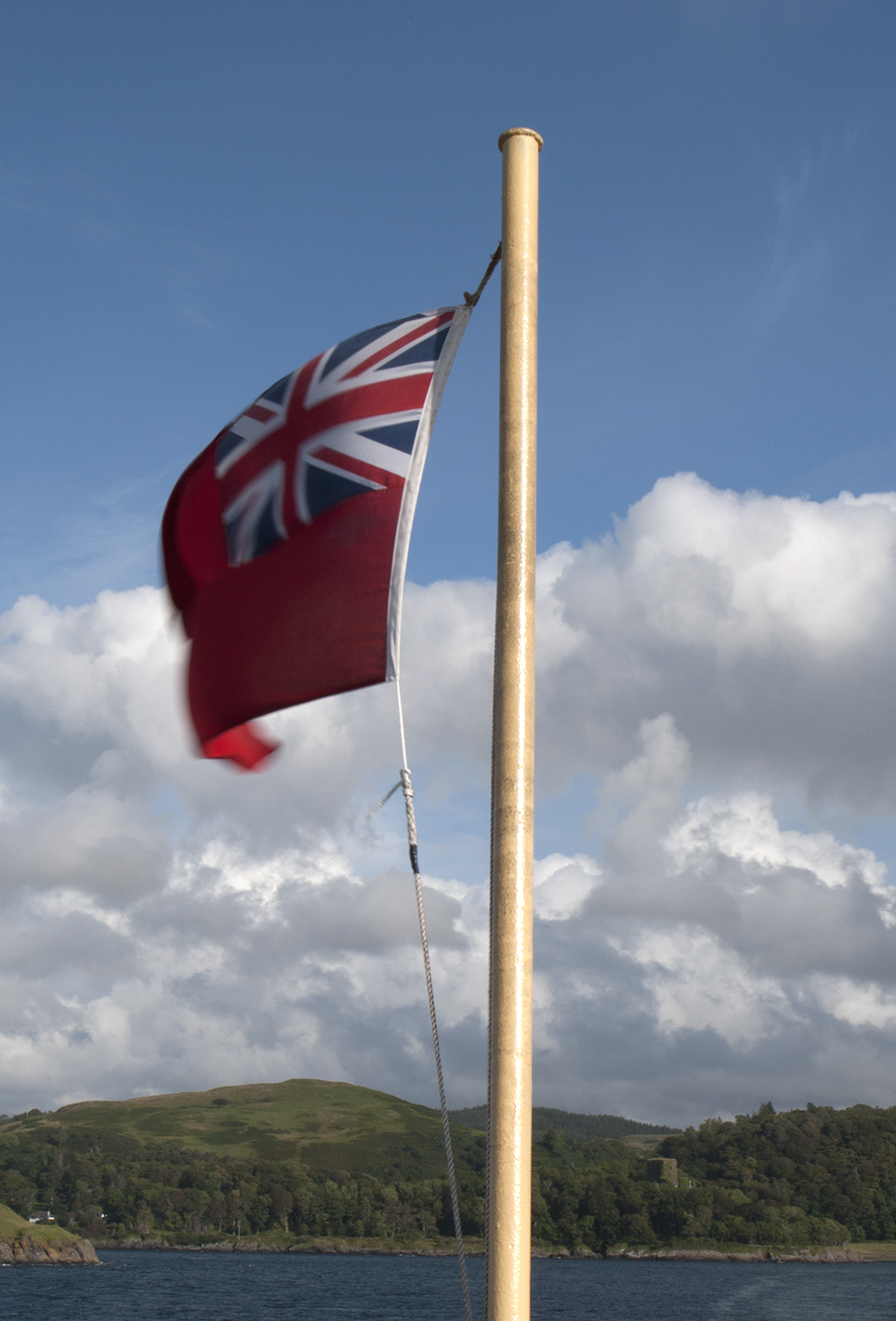
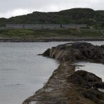
Train to Oban via Glasgow (note the change in cuisine).  Ferry to Craignure and a night at the campsite there.  A nice spot with great clean facilities, including a common room with wood-burning stove.
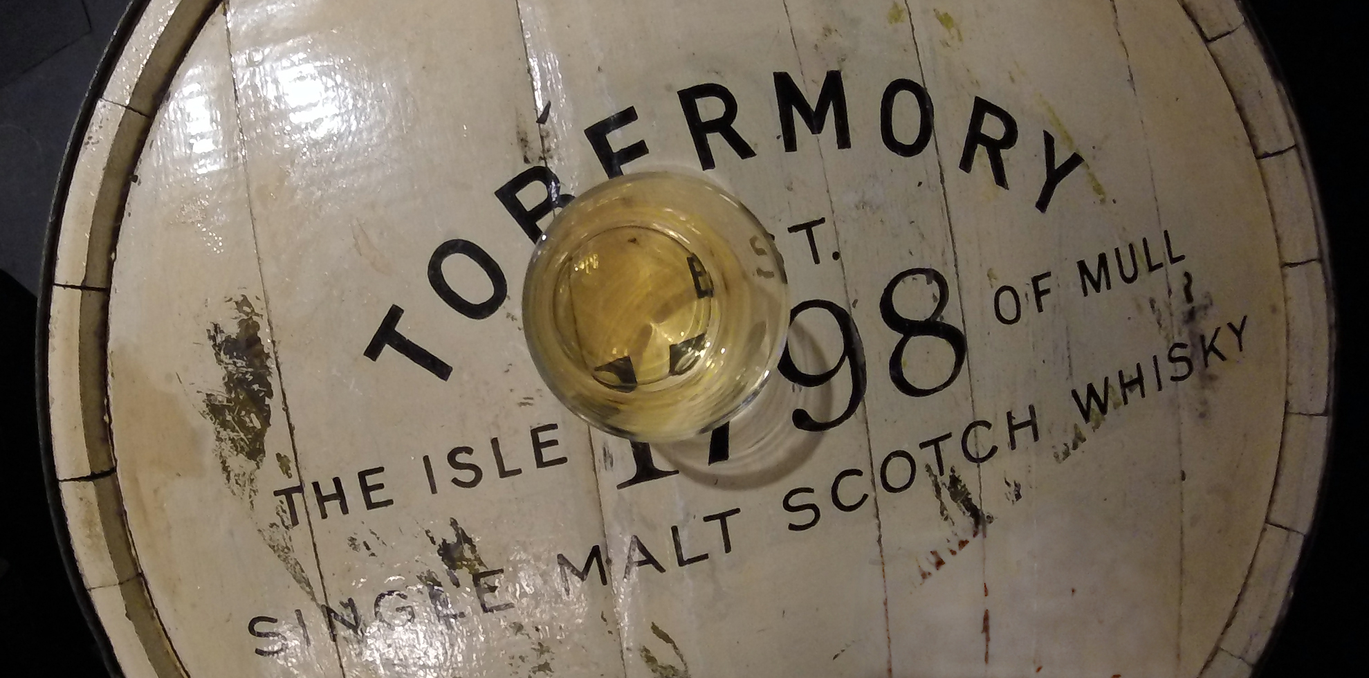
Haggis crisps Sound of Mull Sound of Mull Craignure campsite


Tobermory

The bus services on Mull are great, and the Craignure – Tobermory route uses a double decker so you can get a great view.  The majority of the roads are single track with passing places, so it’s a nice slow journey.  Spent some time watching gannets diving into the sea while waiting at the bus stop.  I was told that the ones around here nest on St Kilda; that’s 140 miles as the gannet flies, a long way for a fish supper.

Tobermory Tobermory harbour Tobermory harbour Tobermory harbour Tobermory harbour


Rainy day activities: distillery and museum.

Rain drops on tent Tobermory whisky fast river Peaty water


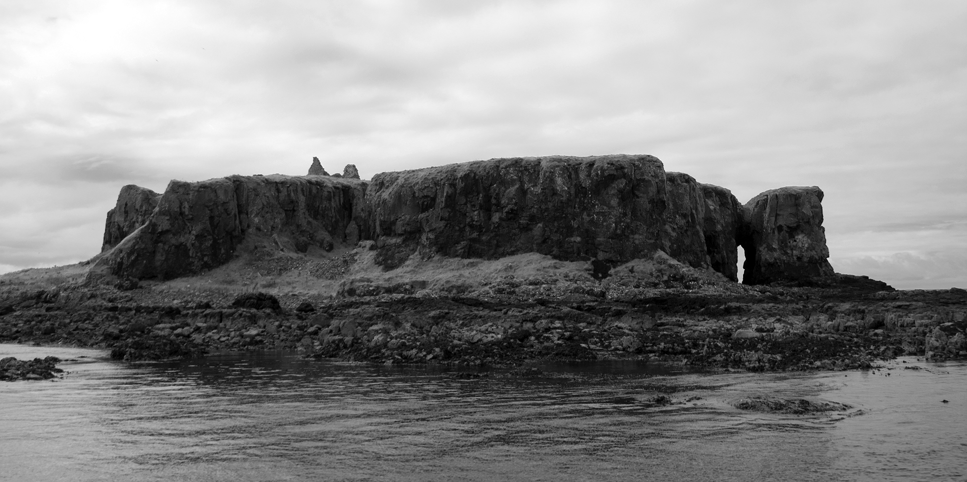
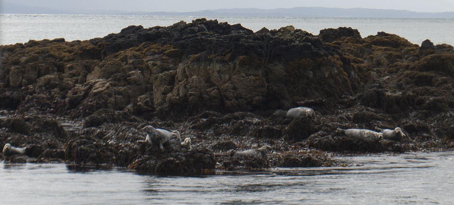
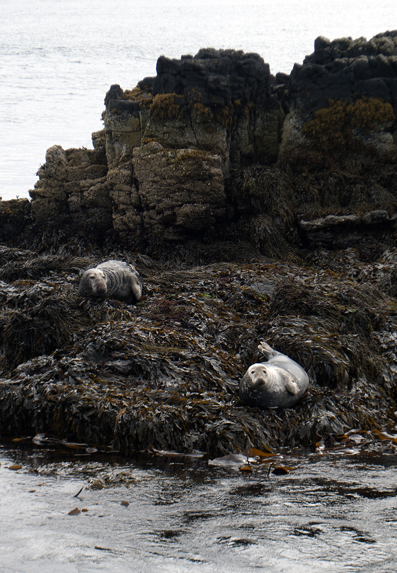
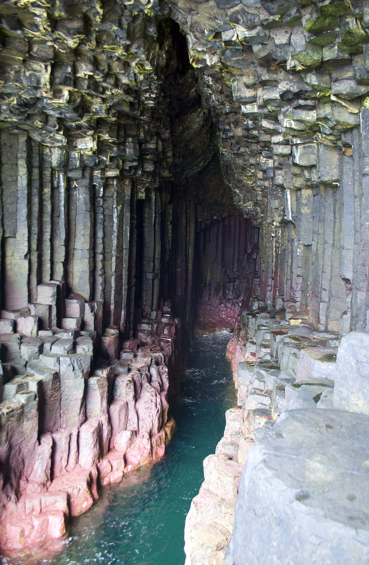
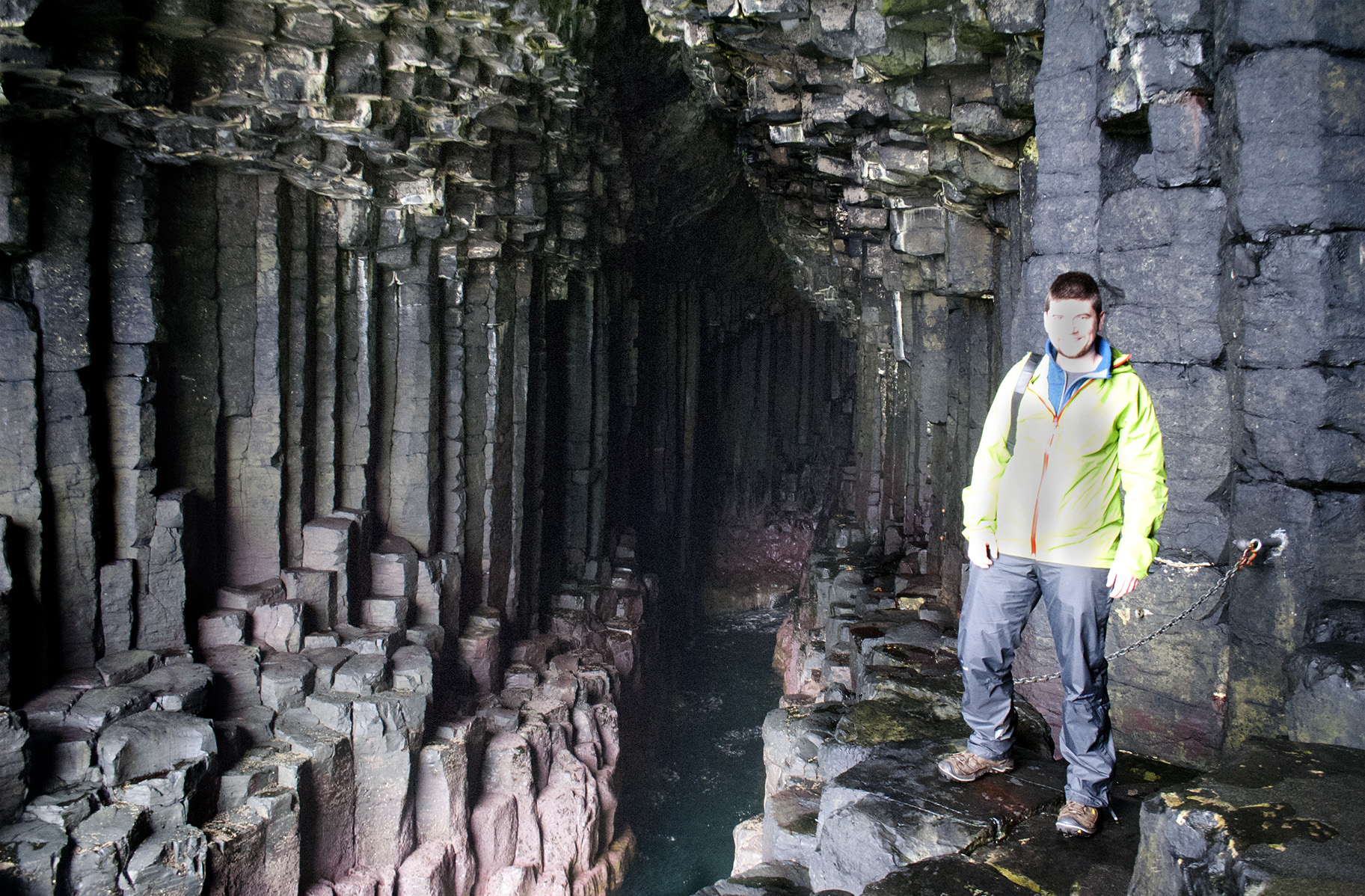
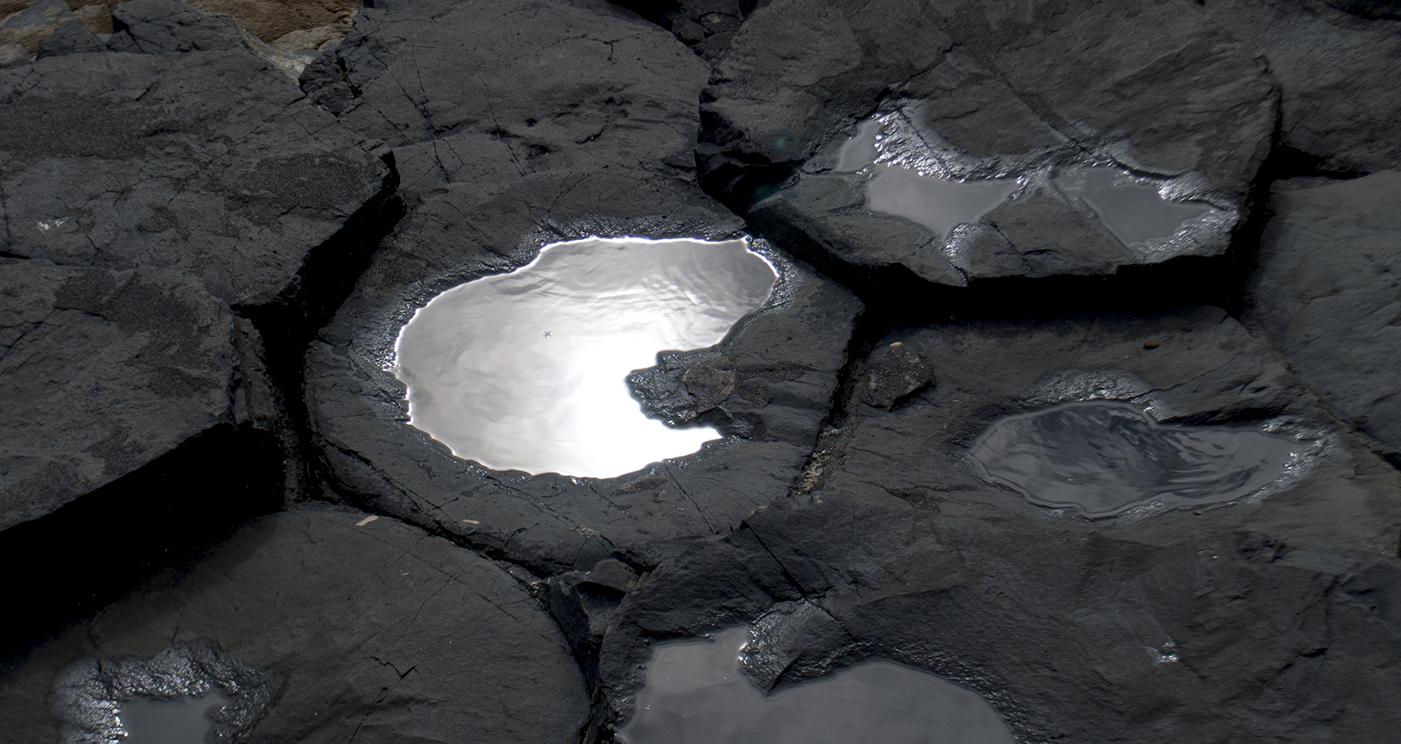
A boat trip to Staffa via the Treshnish Isles, featuring a white-tailed eagle, gannets, kittiwakes, shags, seals, a minke whale and maybe some porpoises.  And exciting rocks, of course.  Very smart boat and knowledgable crew from Staffa Tours, happy to spend time detouring to follow the minke.
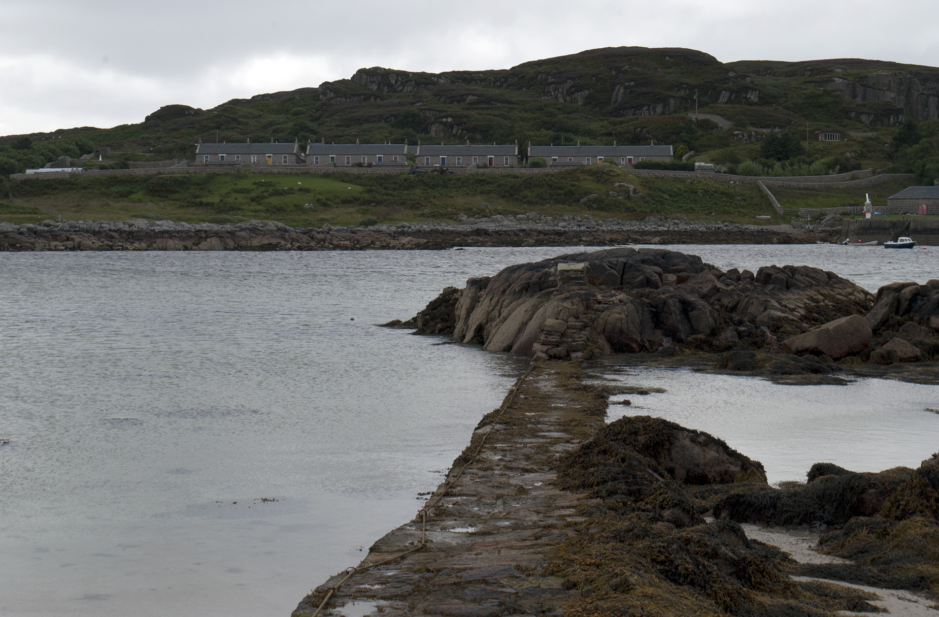
Rubha nan Gall, Mull Treshnish Isles Seals, Treshnish Isles Seals, Treshnish Isles Staffa Staffa Fingal's cave Fingal's cave Fingal's cave Fingal's cave Staffa Staffa Staffa


Fionnphort

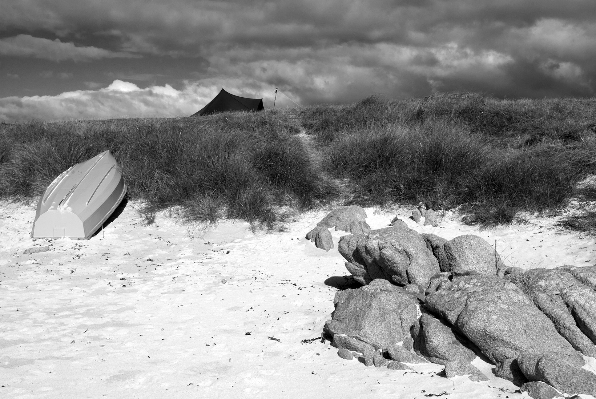
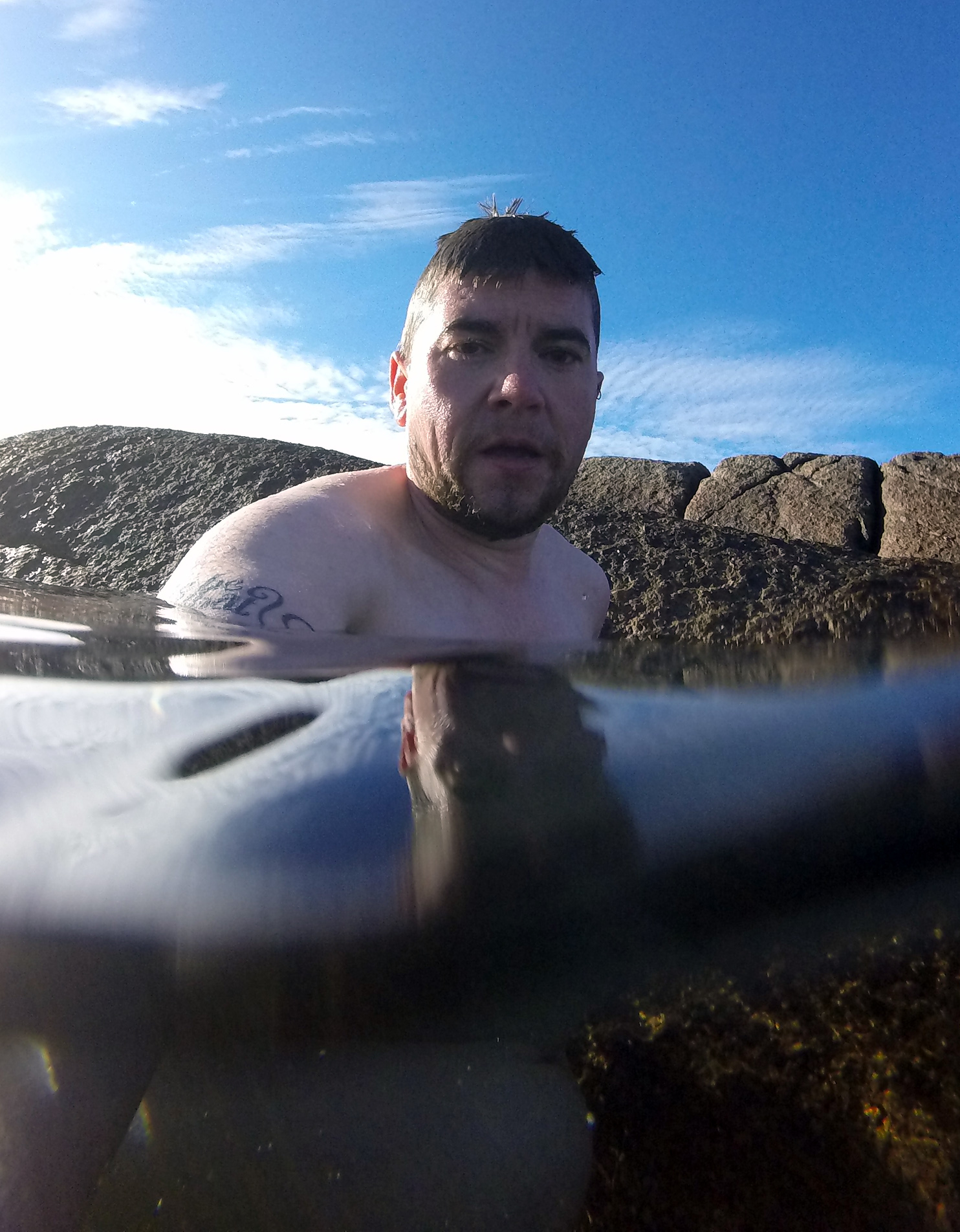
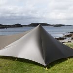
Amazing campsite at Fidden farm, right above the beach.  The sun came out and the sea was irresistible.  And freezing, obviously.

Fiden Farm, Mull Fiden Farm, Mull Fiden Farm, Mull Shells Shells Swimming, Mull Swimming, Mull Erraid from Fiden Farm, Mull Fiden Farm, Mull Fiden Farm, Mull


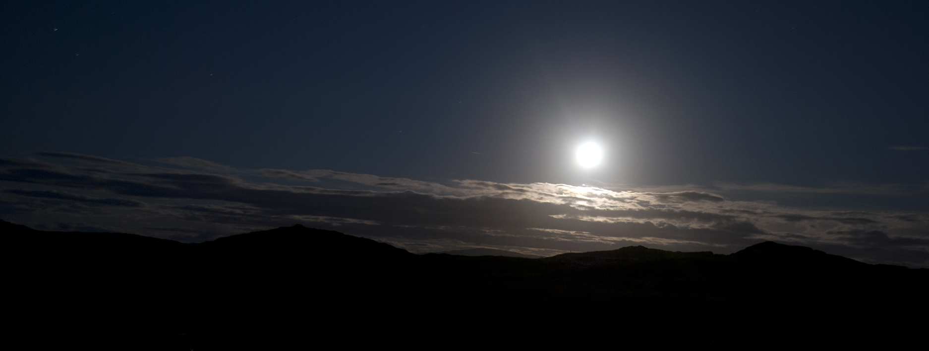
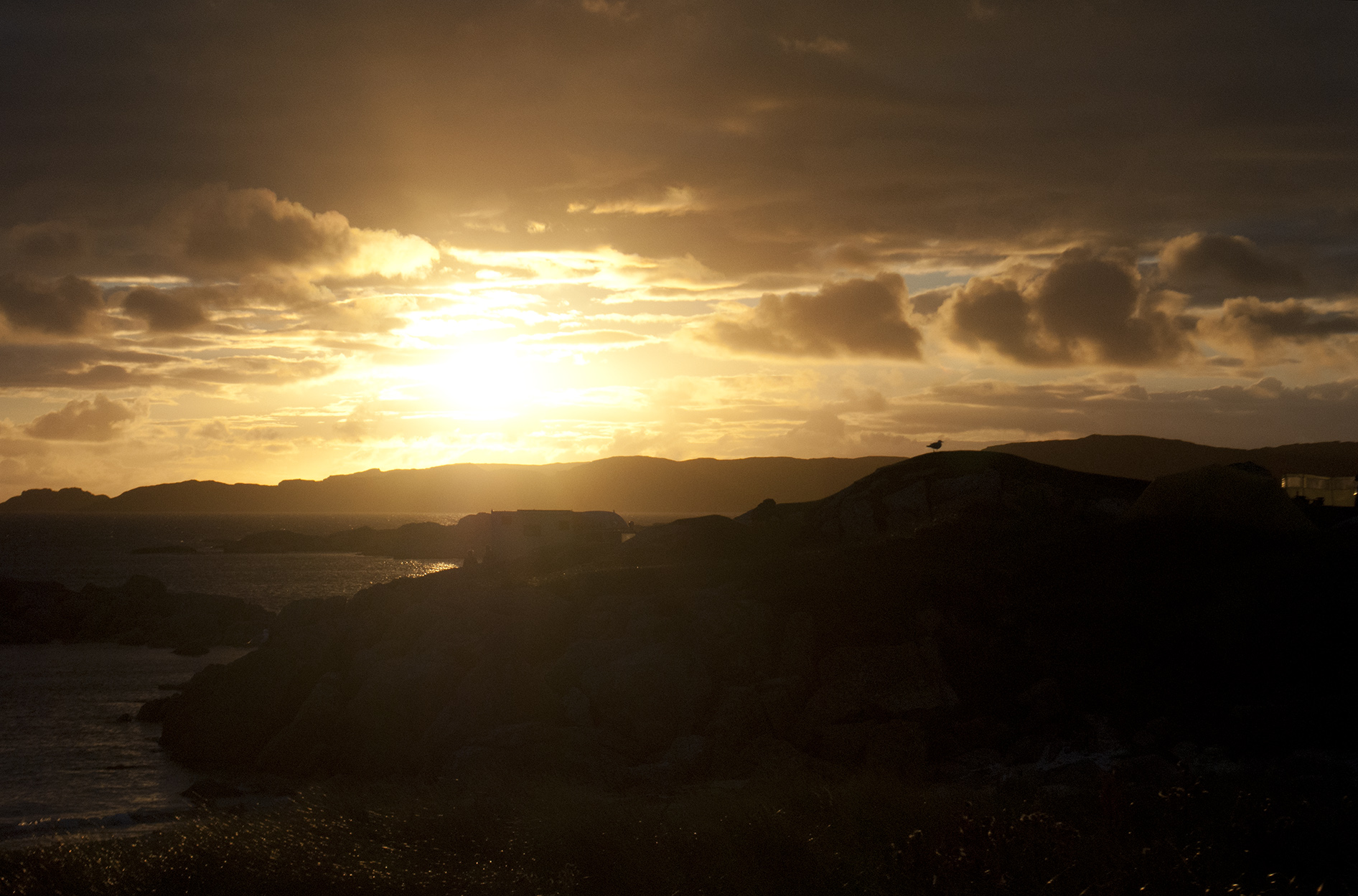
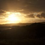
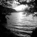
Moonrise and sunset.

Moon landscape, Mull Fiden Farm, Mull


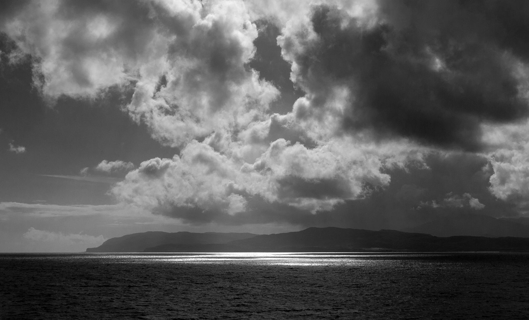
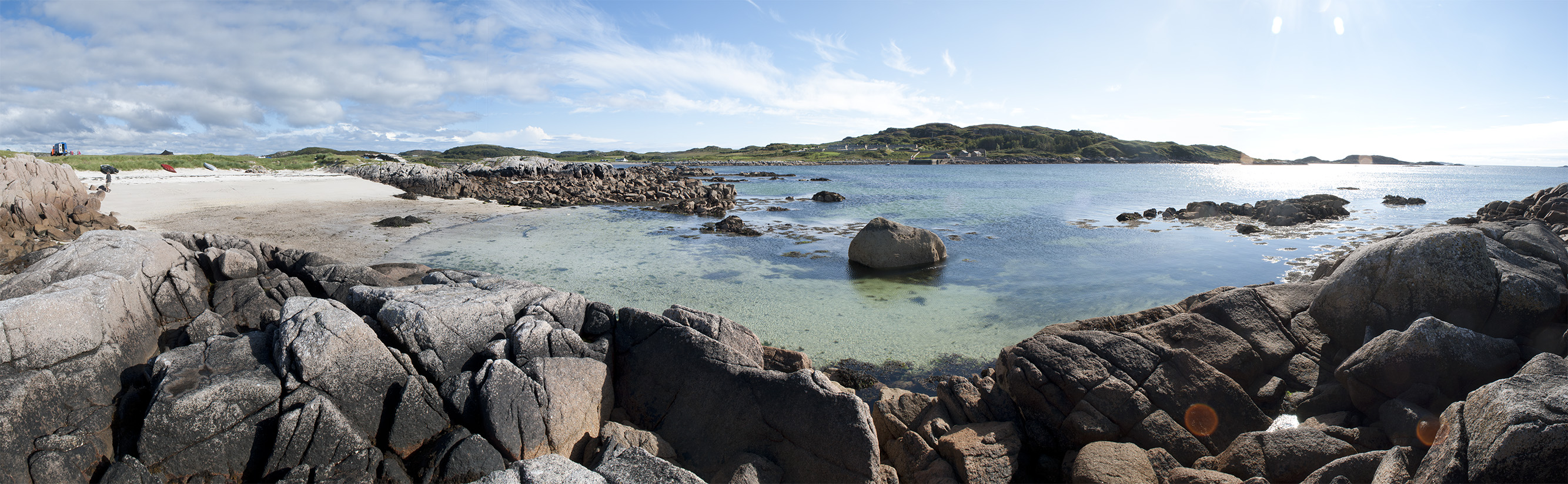
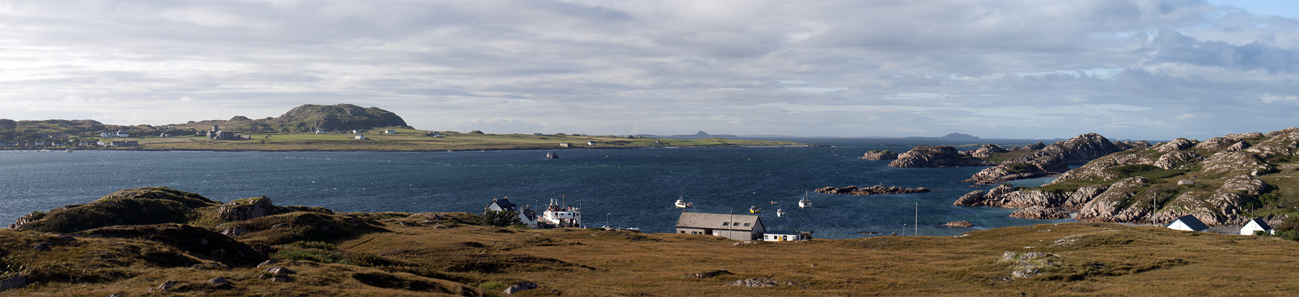
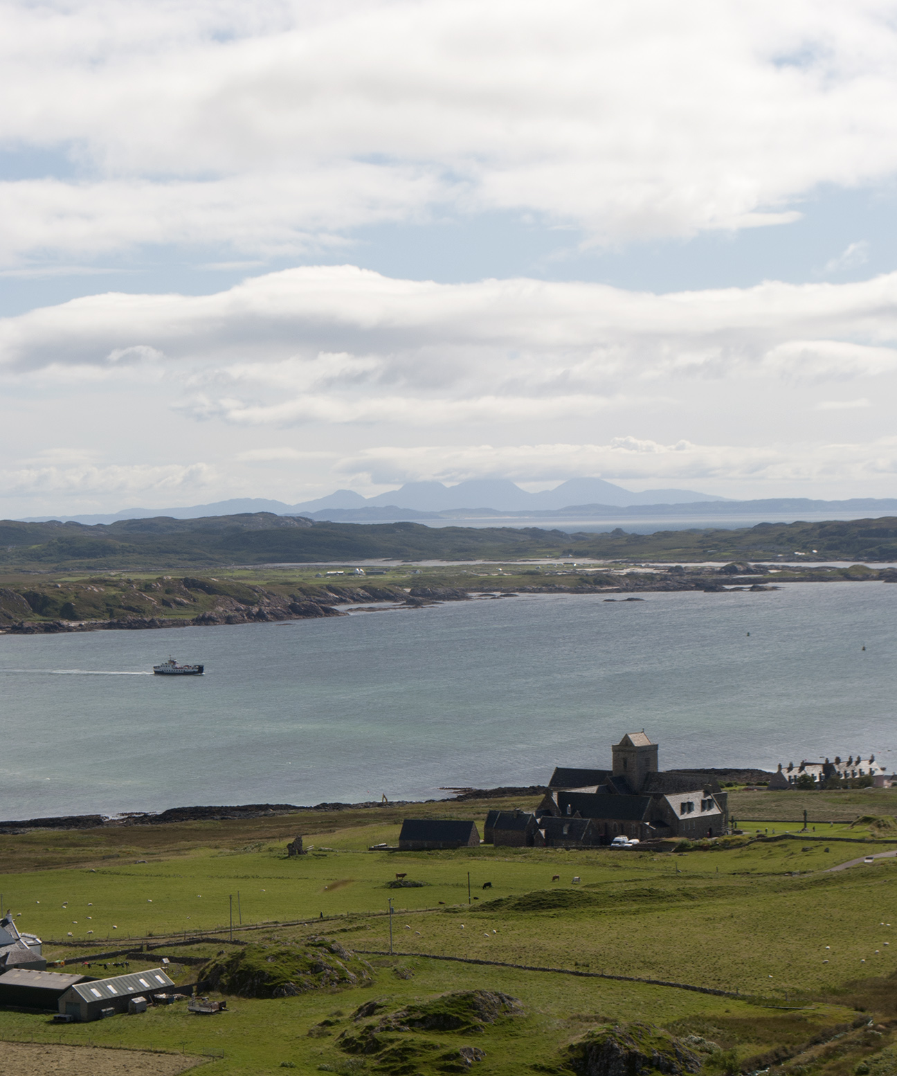
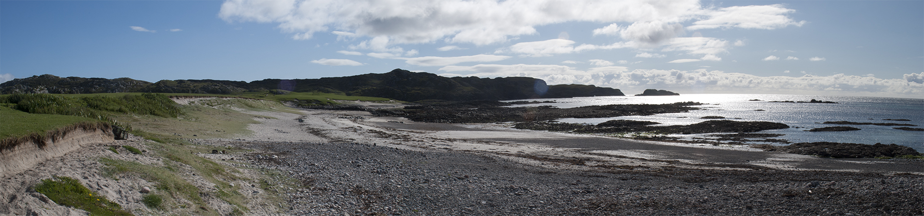
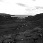
Views from Fionnphort.  The strange shaped island beyond Iona is The Dutchman’s Cap, one of the Treshnish Isles.  The others were named by Vikings, not contraceptives.

Fionnphort, Isle of Mull Fionnphort, Isle of Mull Sound of Iona


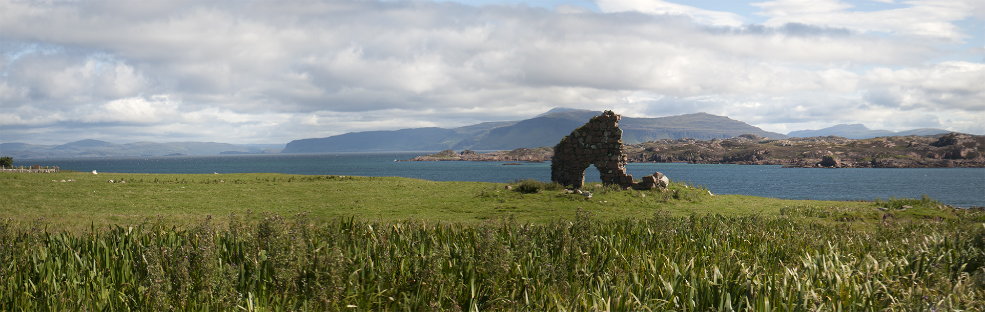
The tidal island of Erraid as featured in Robert Louis Stevenson’s Kidnapped.
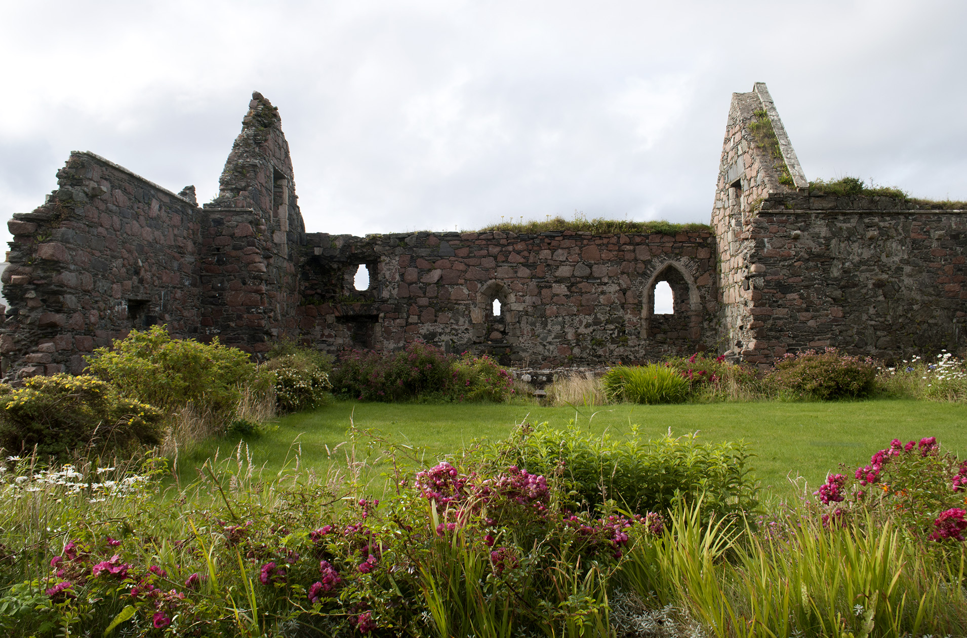
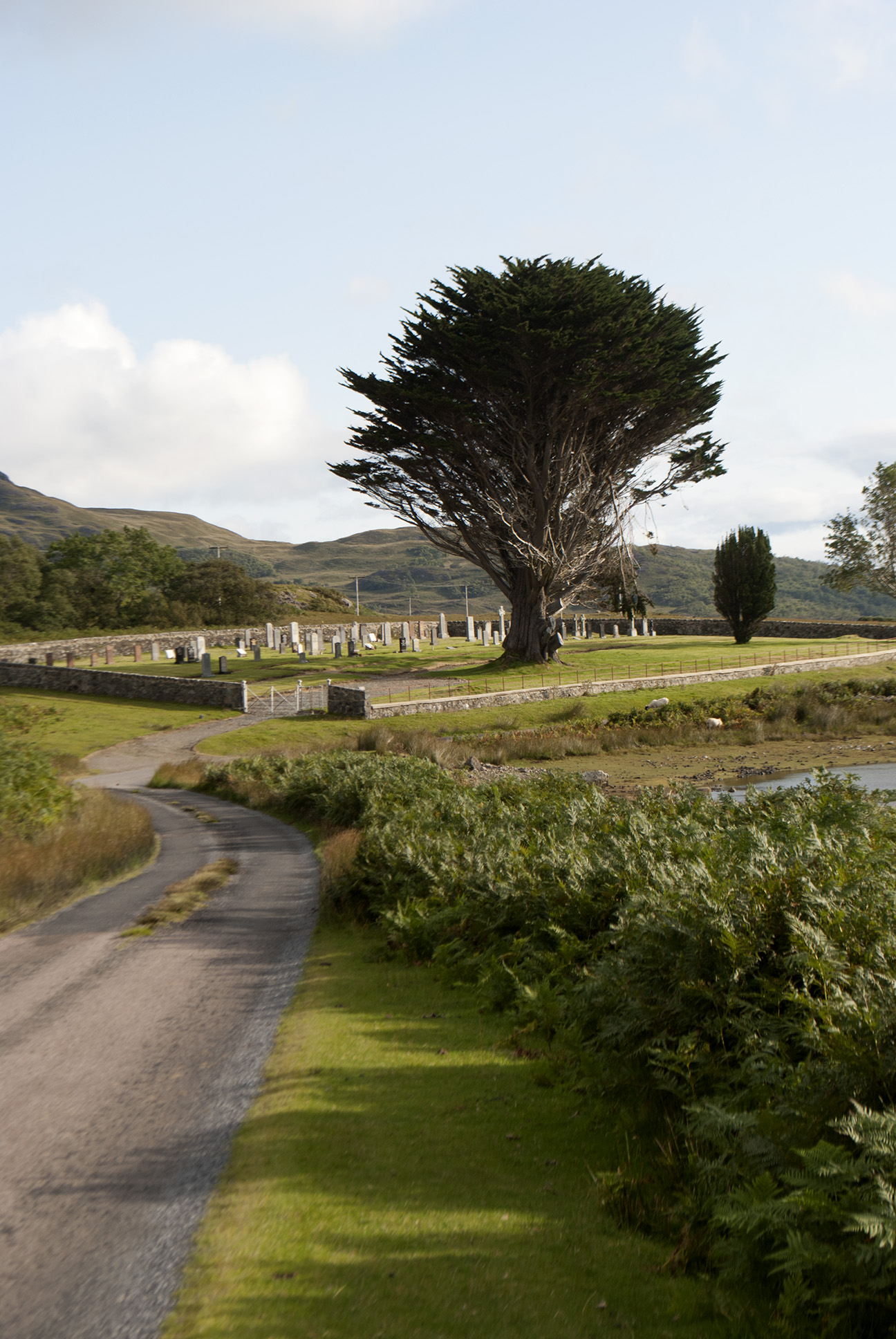
Erraid, Mull


Iona

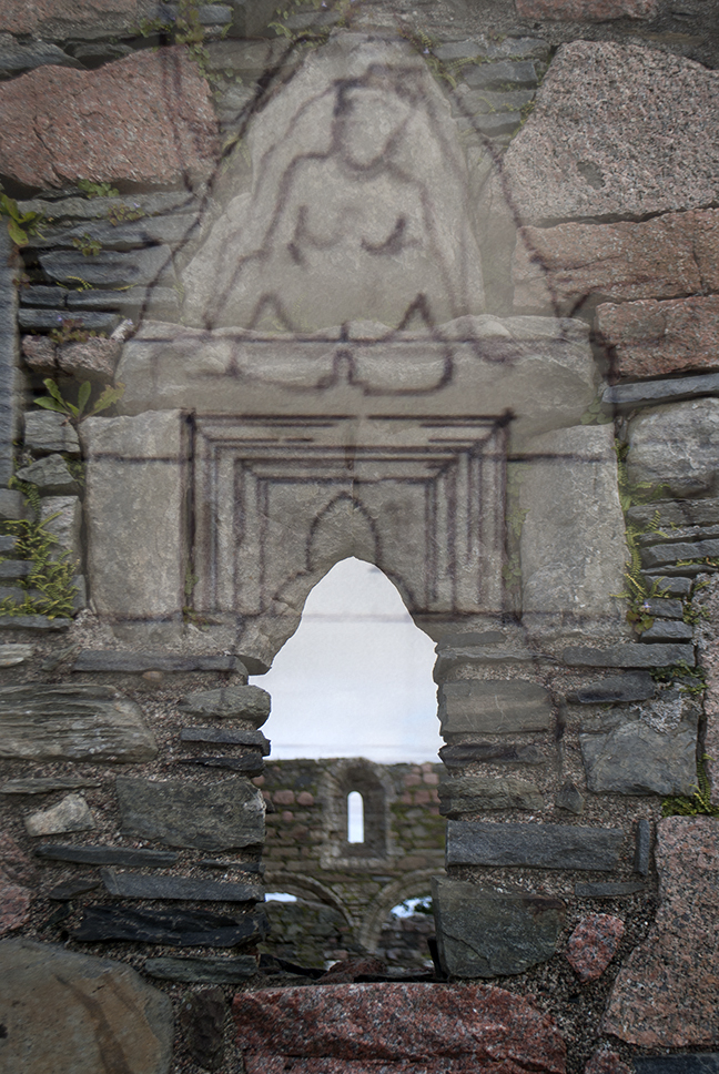
First stop the nunnery.  A carving over a window shows a voluptuous and accommoddating woman, apparently keeping those inside safe from such temptations.  One tiny room of the whole complex had heating – they must have been some tough nuns.  Today was very sunny (i.e. I got burned) but required all layers and a hat because of the wind, and that was the tail end of summer.

 Iona nunnery Iona nunnery Iona nunnery


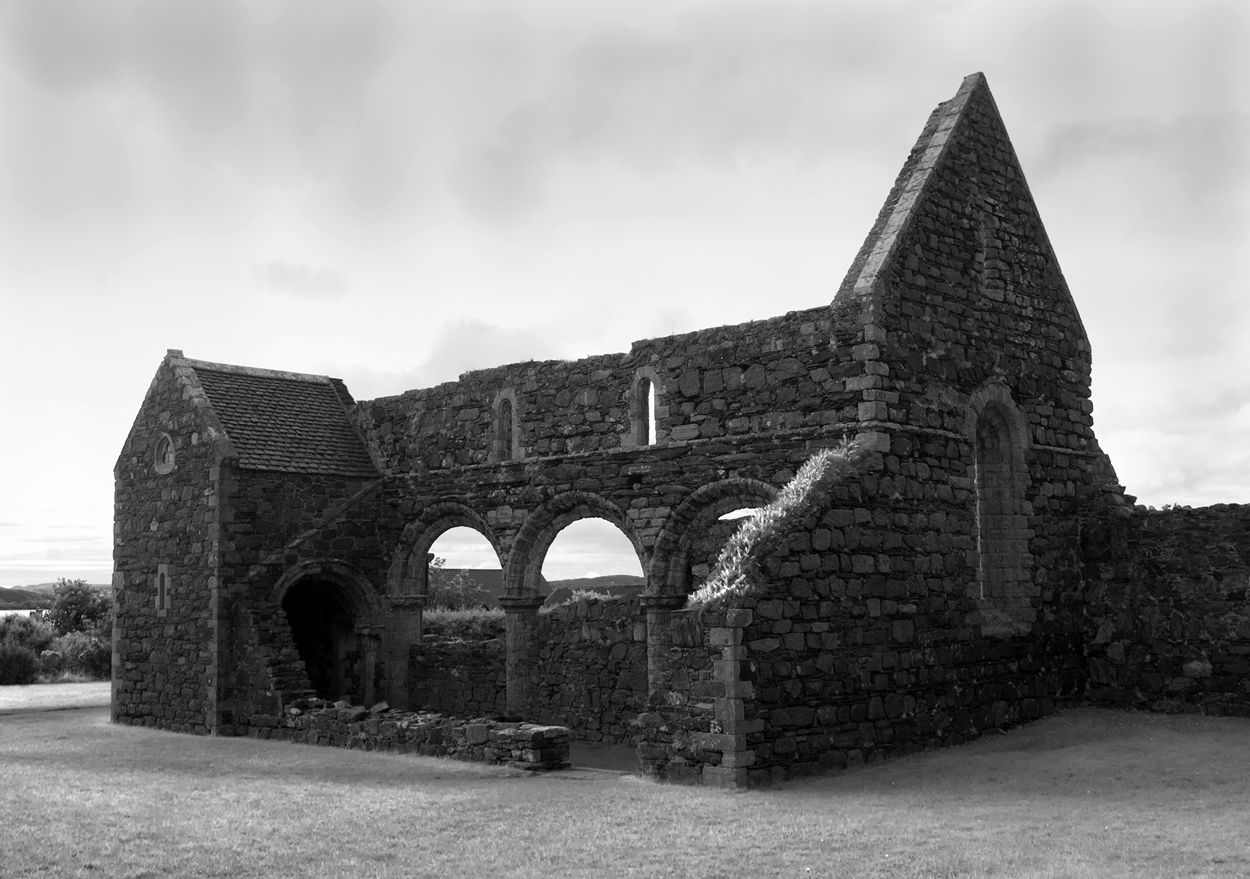
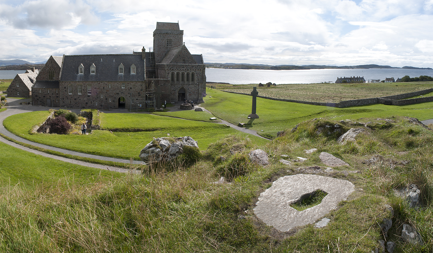
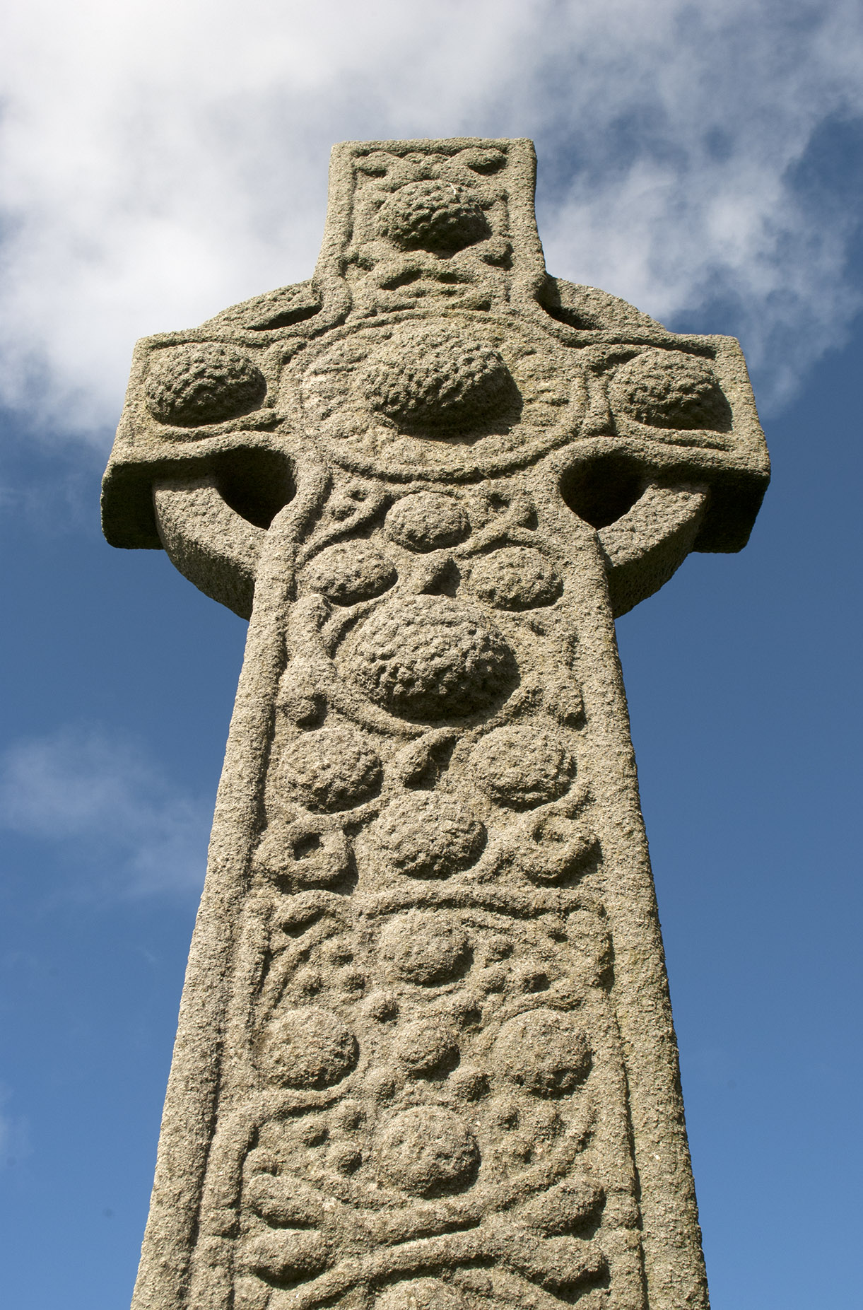
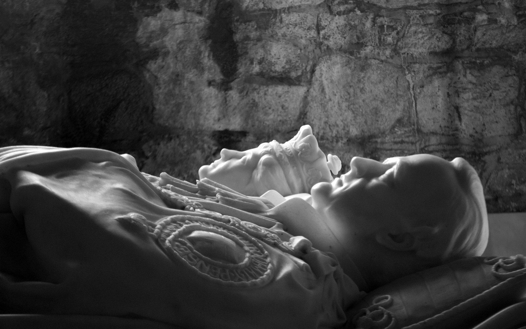
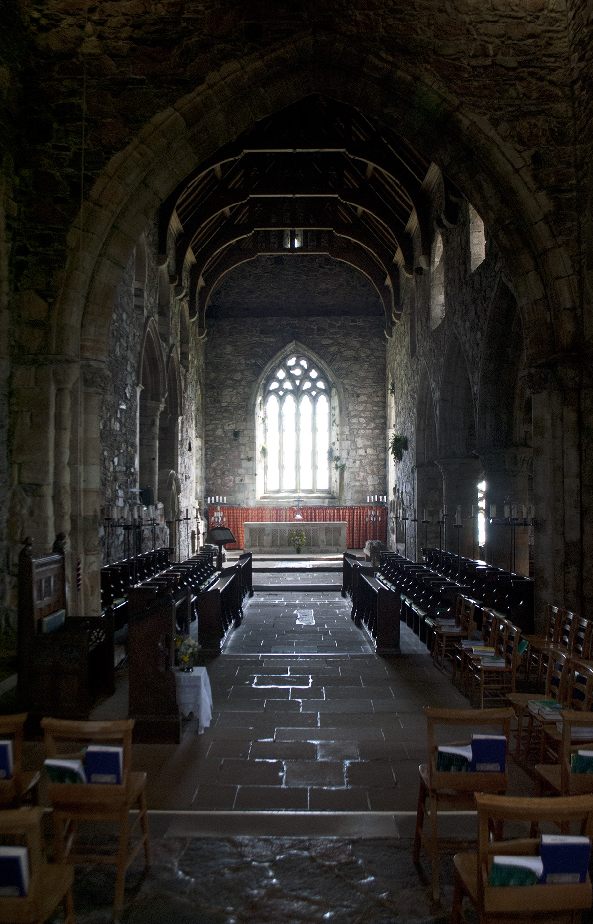
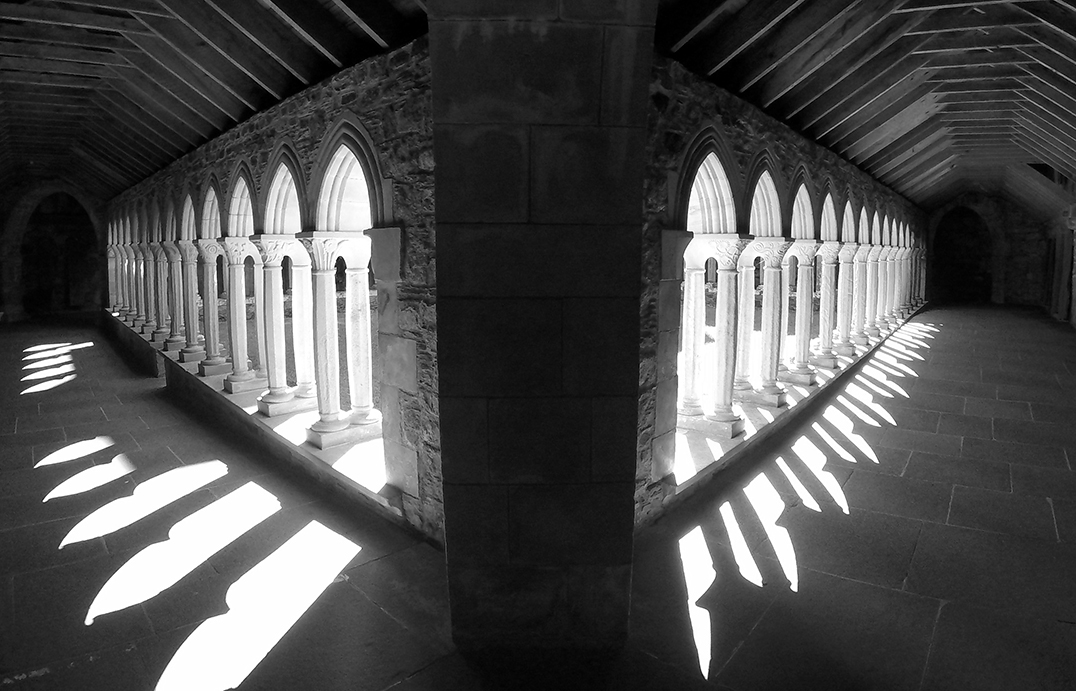
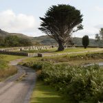
The Abbey; journey’s end for many, be they pilgrims, coach trippers or important dead people.  In front of the abbey in the grass is the Street of the Dead (Sràid nam Marbh), after it passes the burial area (Rèilig Odhrain).  There is an exhibition of ancient stone crosses, where I learnt that the circle was an addition to support the lateral arms which could otherwise be heavy enough to cause the stone to break.

Iona abbey Iona gravestone Iona gravestone Iona abbey Iona abbey Iona abbey Iona abbey Iona abbey Iona abbey Iona abbey Iona abbey Sound of Iona


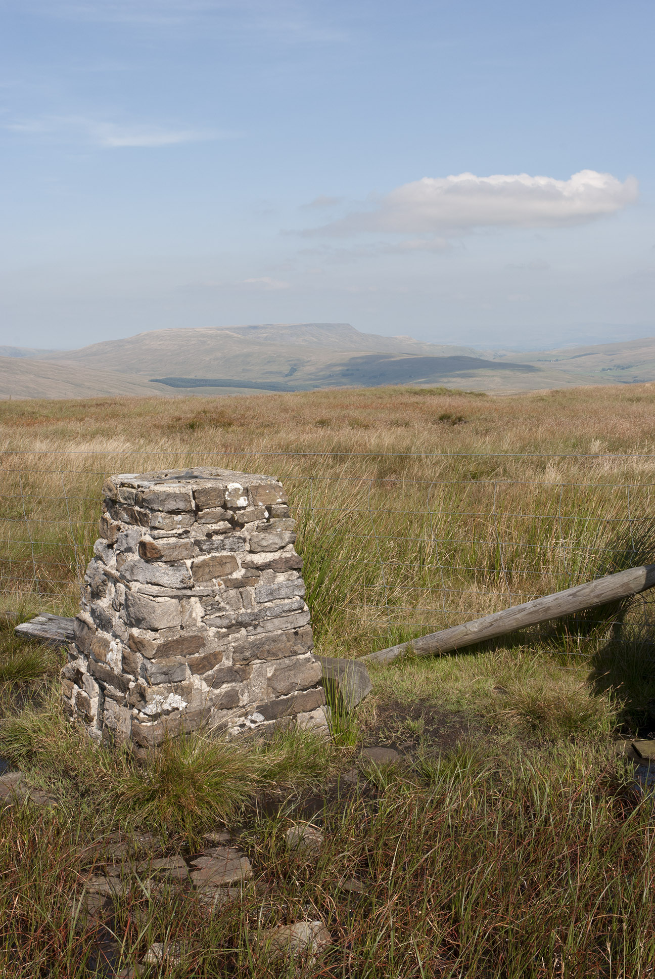
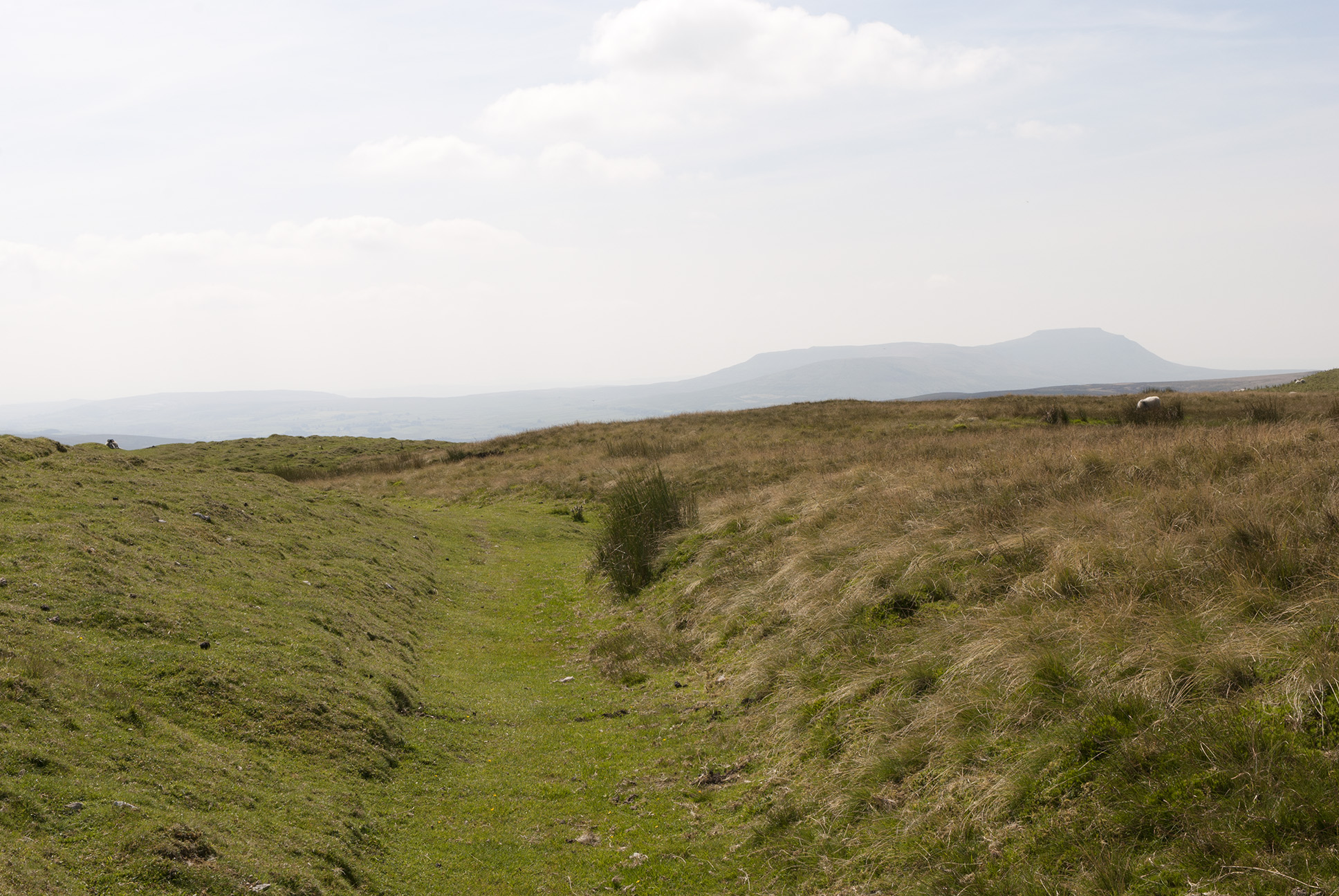
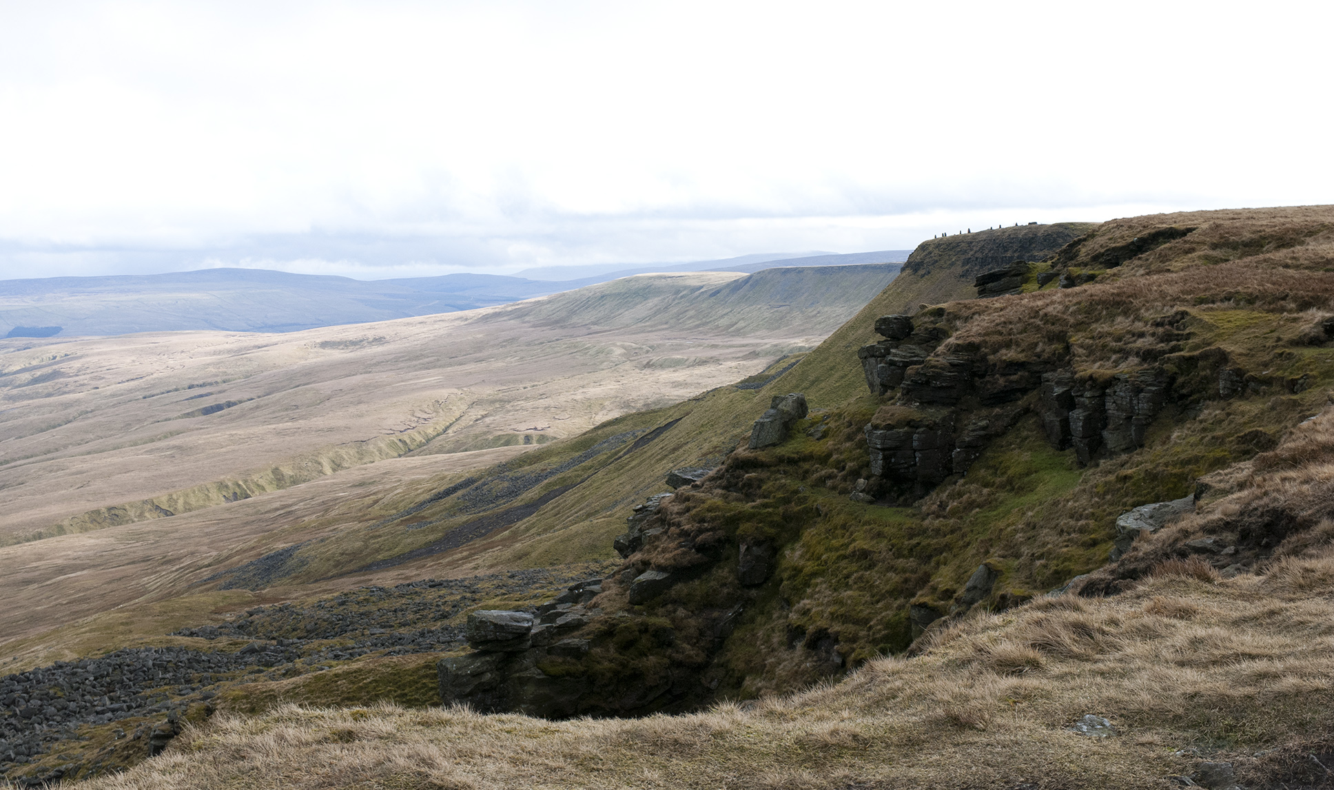
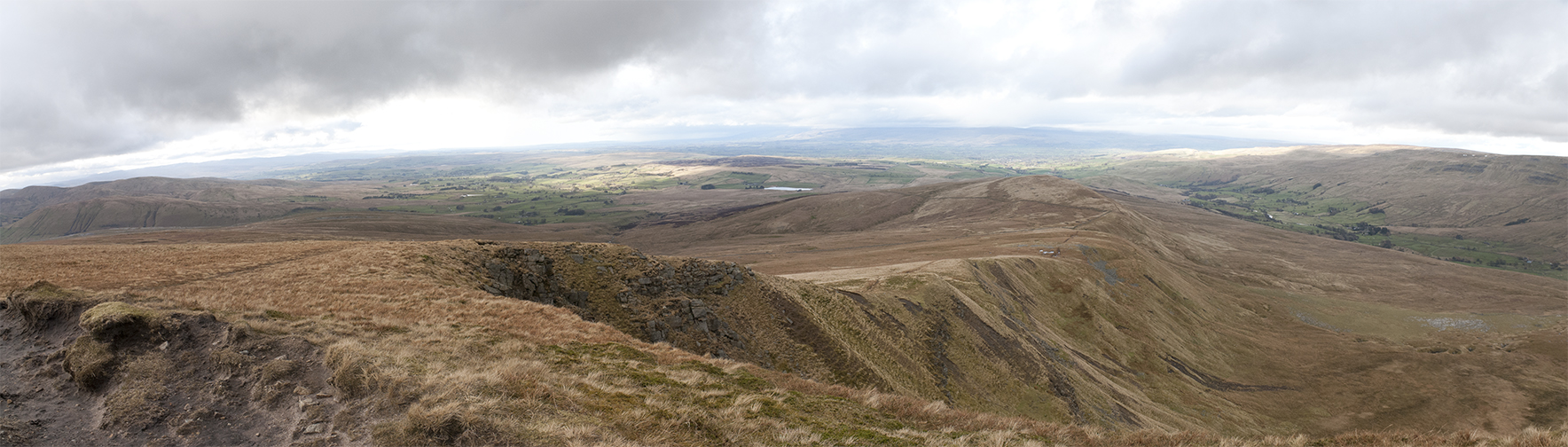
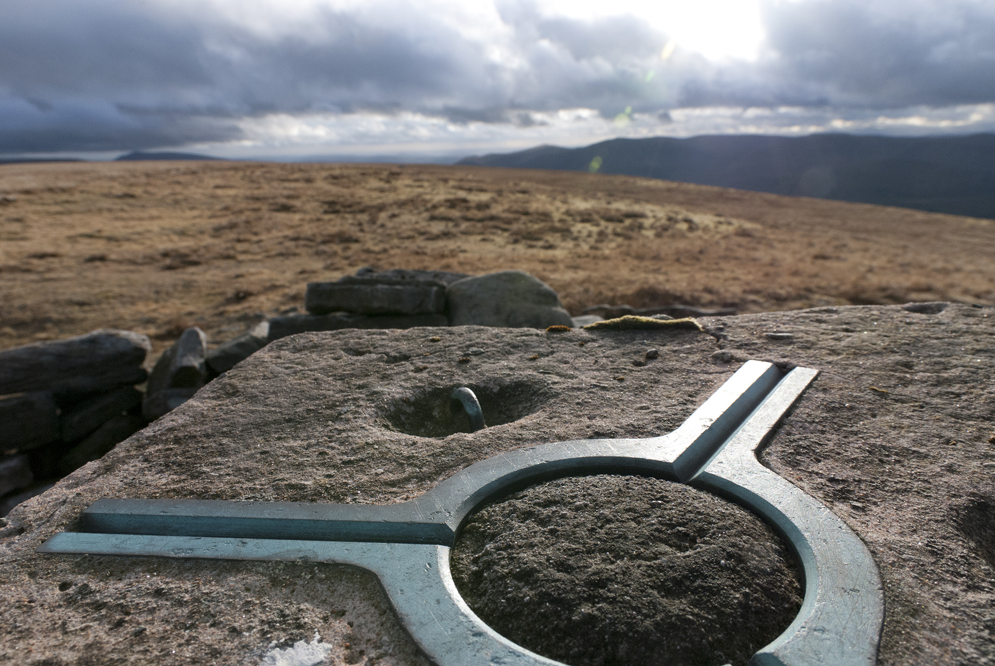
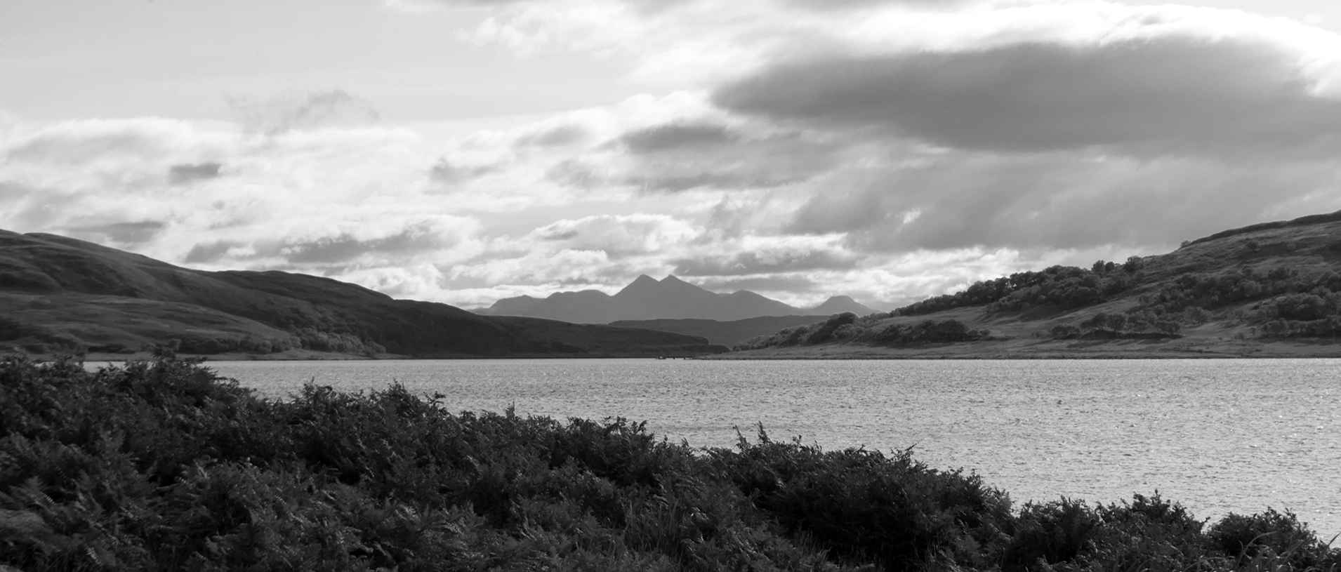
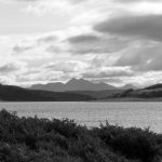
Views from Dun I, the highest point on the island (101 m, so just a HuMP).  Excellent visibility, Cullins of Skye spotted.

Sound of Iona View from Dun I, Iona


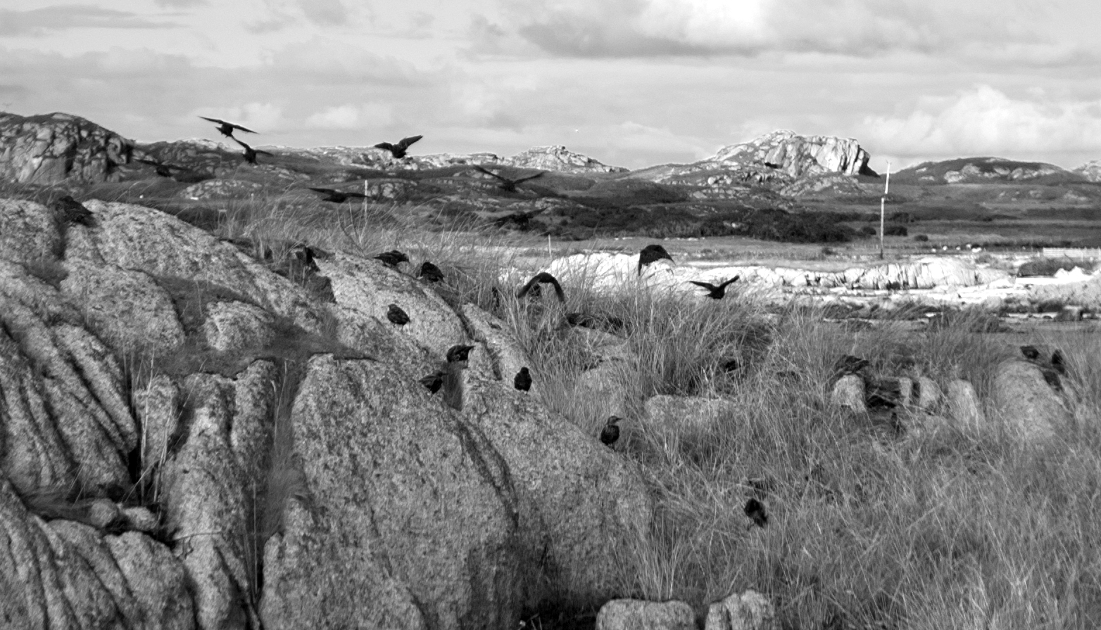
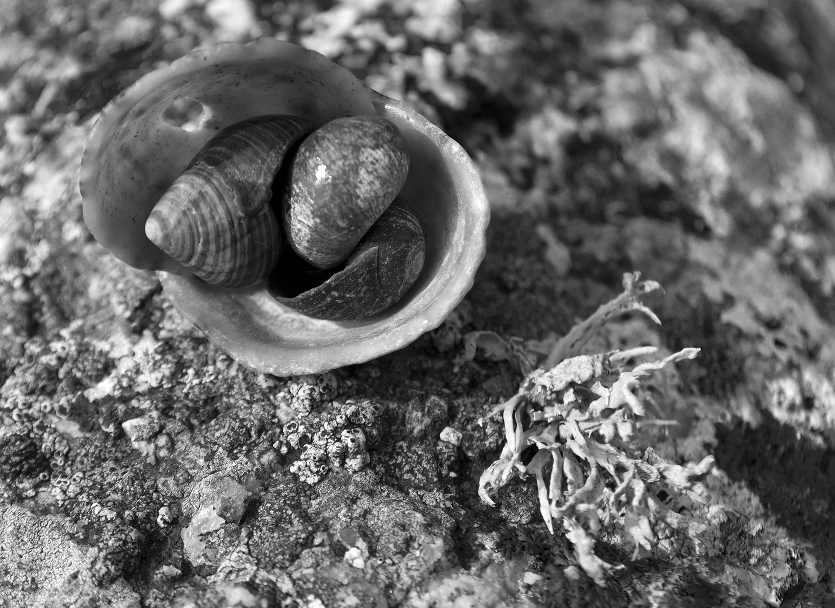
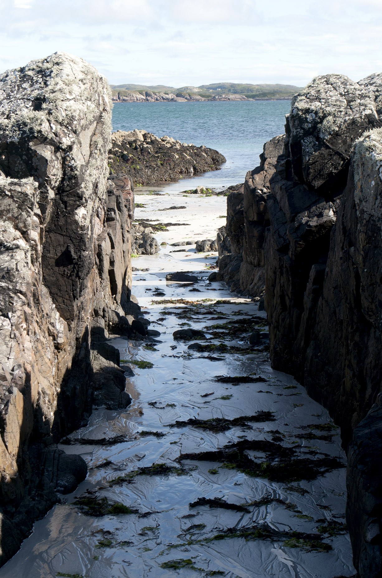
There is a green colour in the rocks found in abundance in St Columba’s bay, apparently from chlorophyll.  I should have brought my accommodation with me, it would have been a lovely spot for the night.
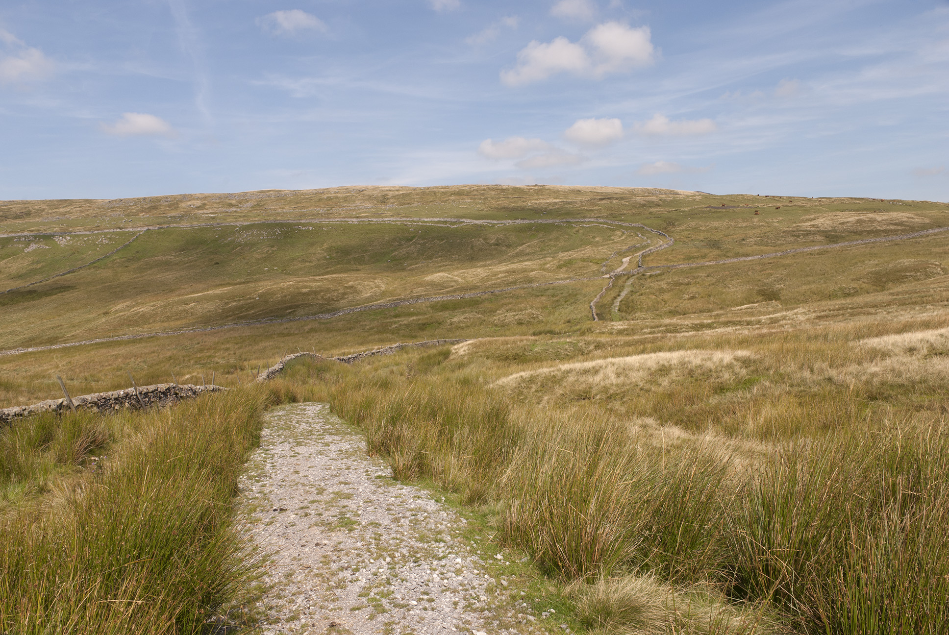
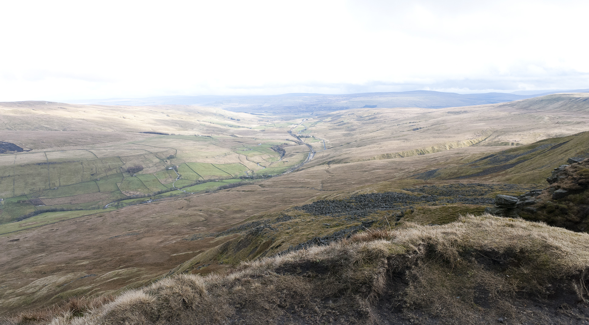
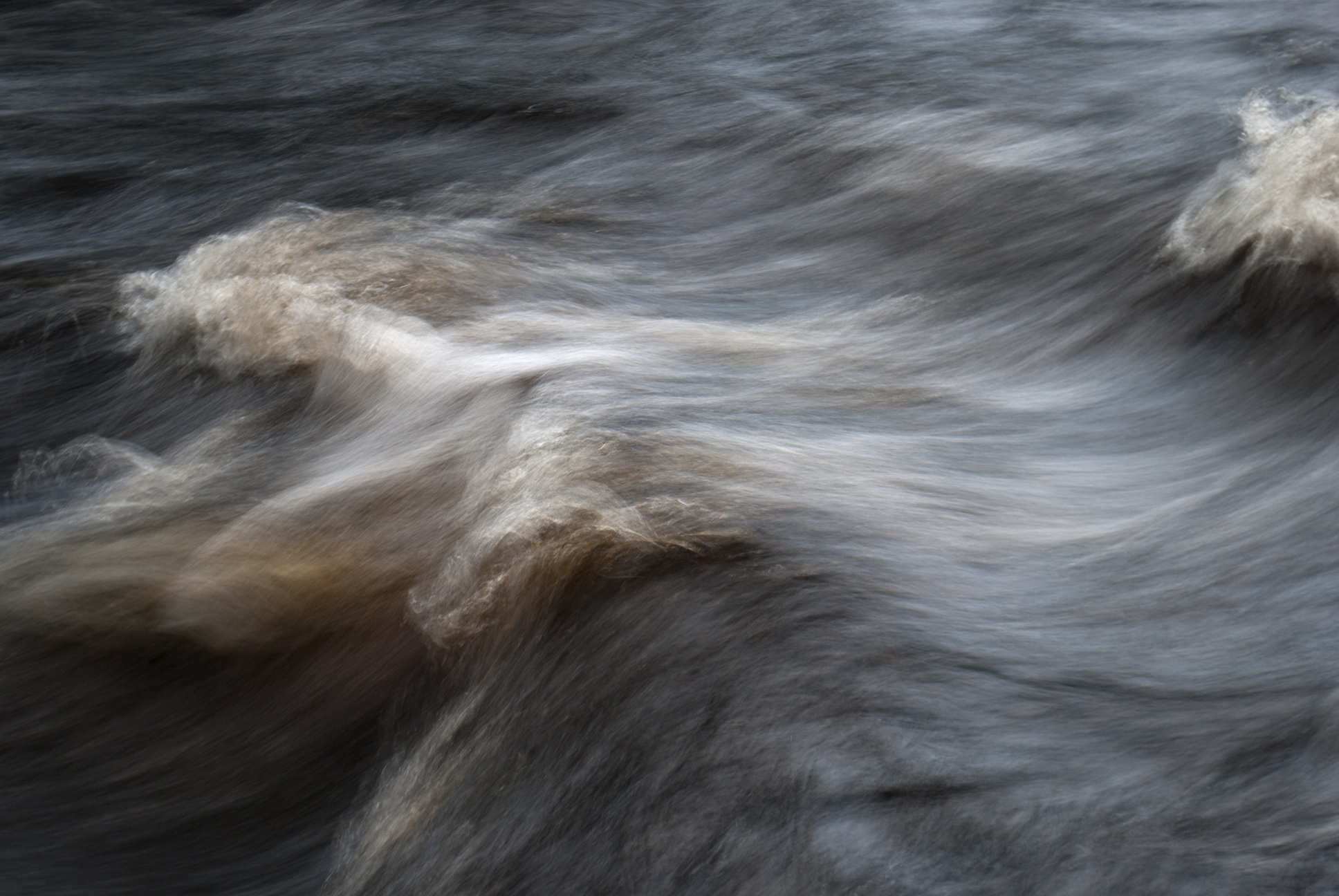
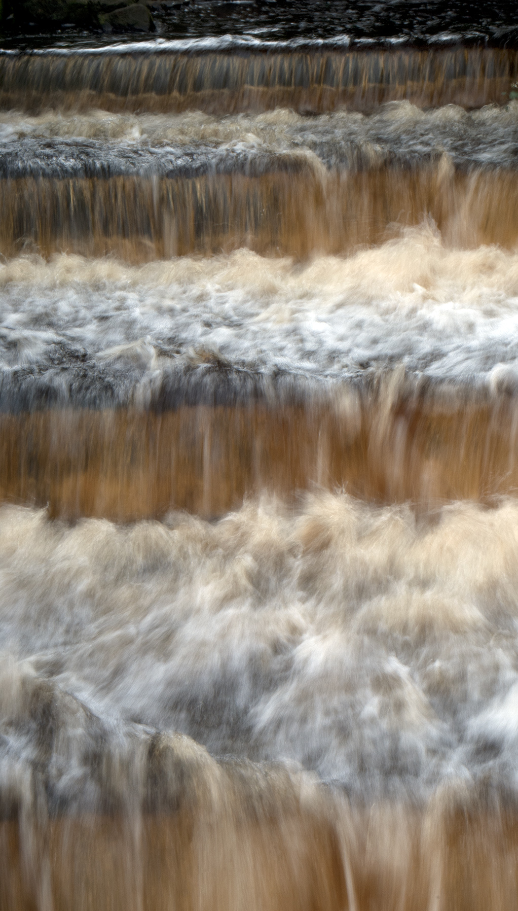
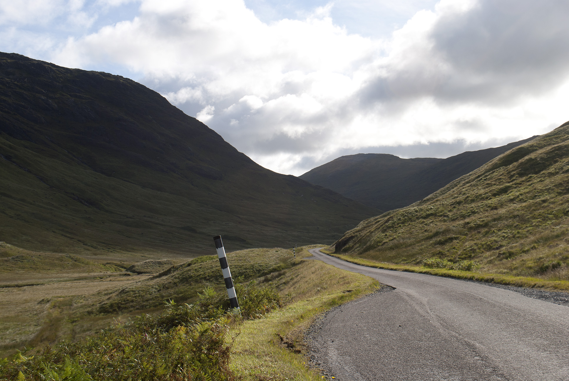
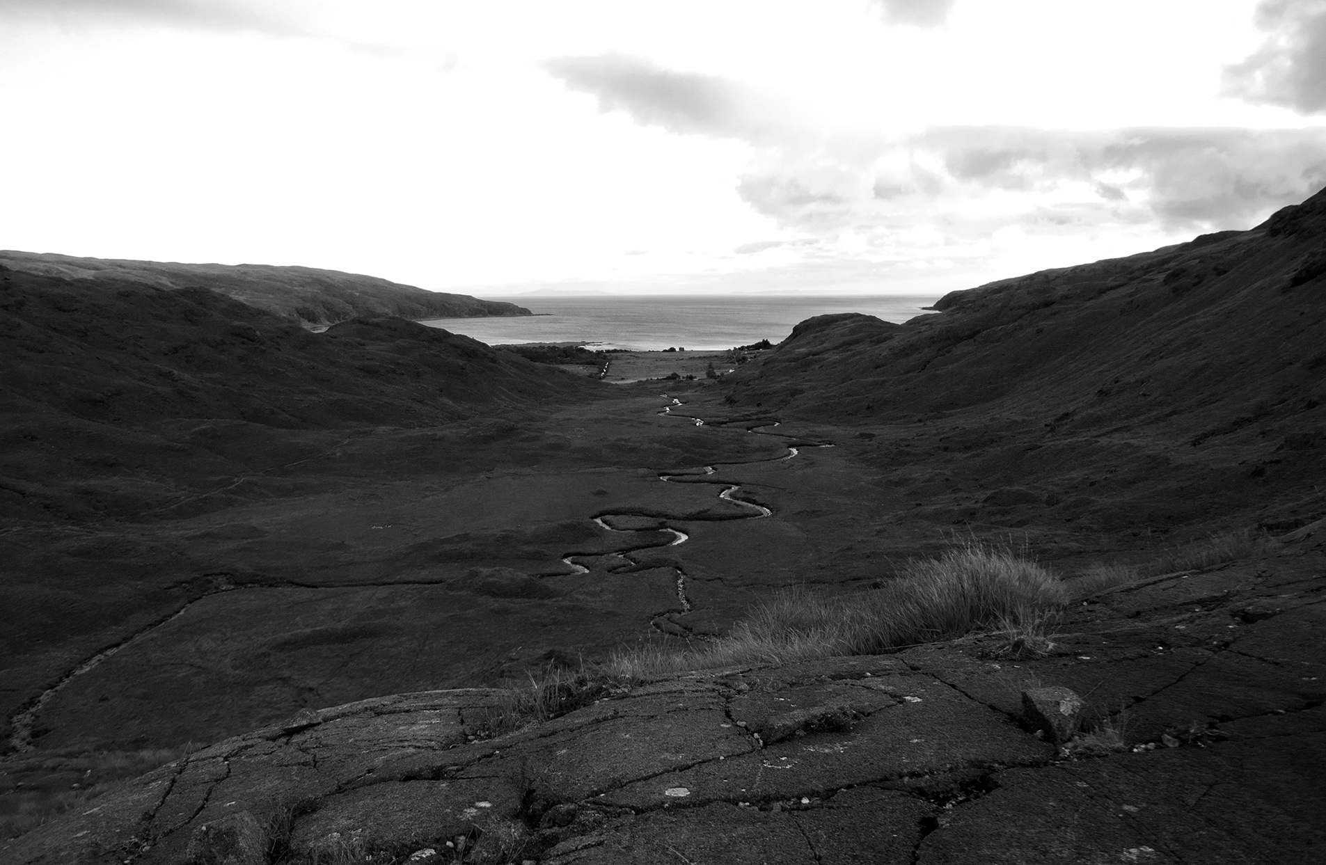
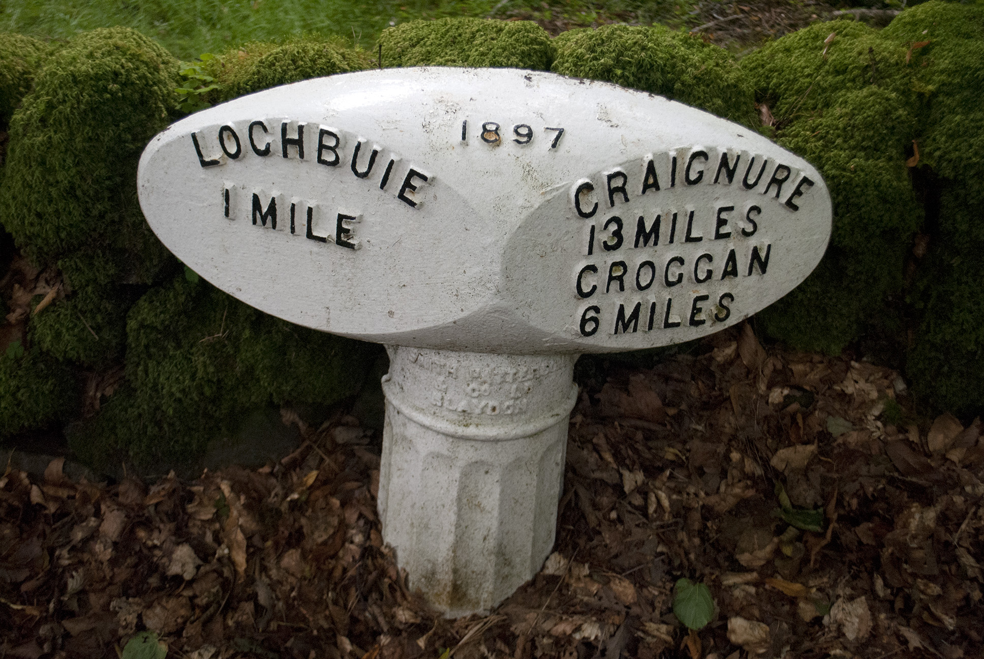
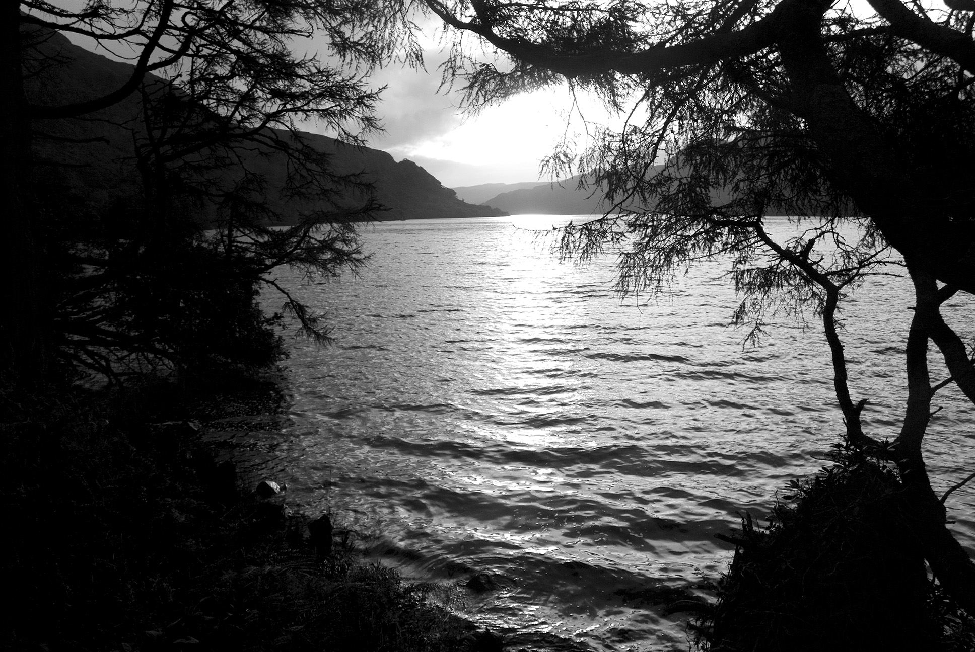
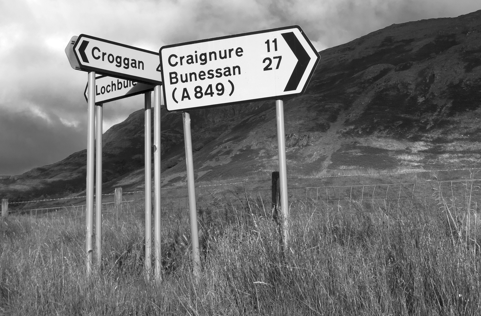
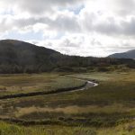
Beach on Iona St Columba's bay


The three lochs

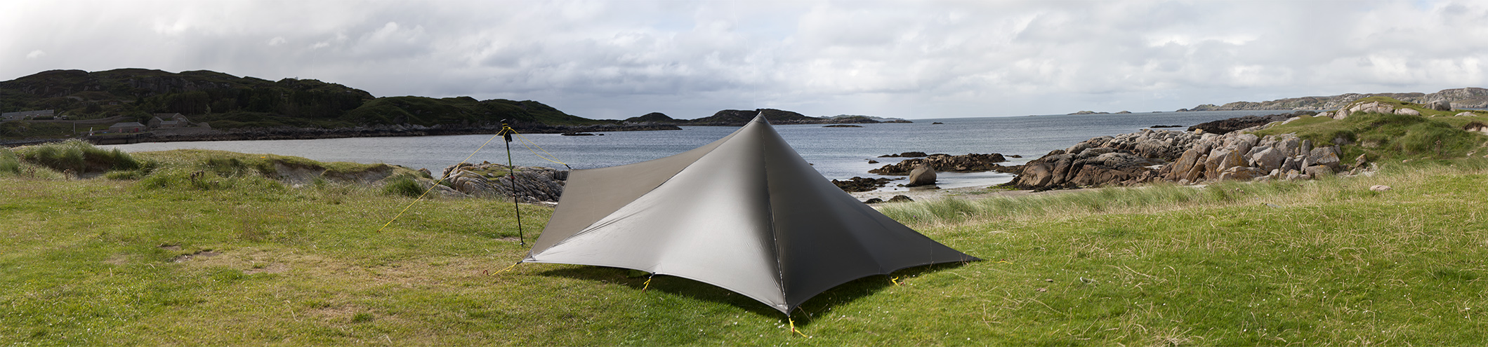
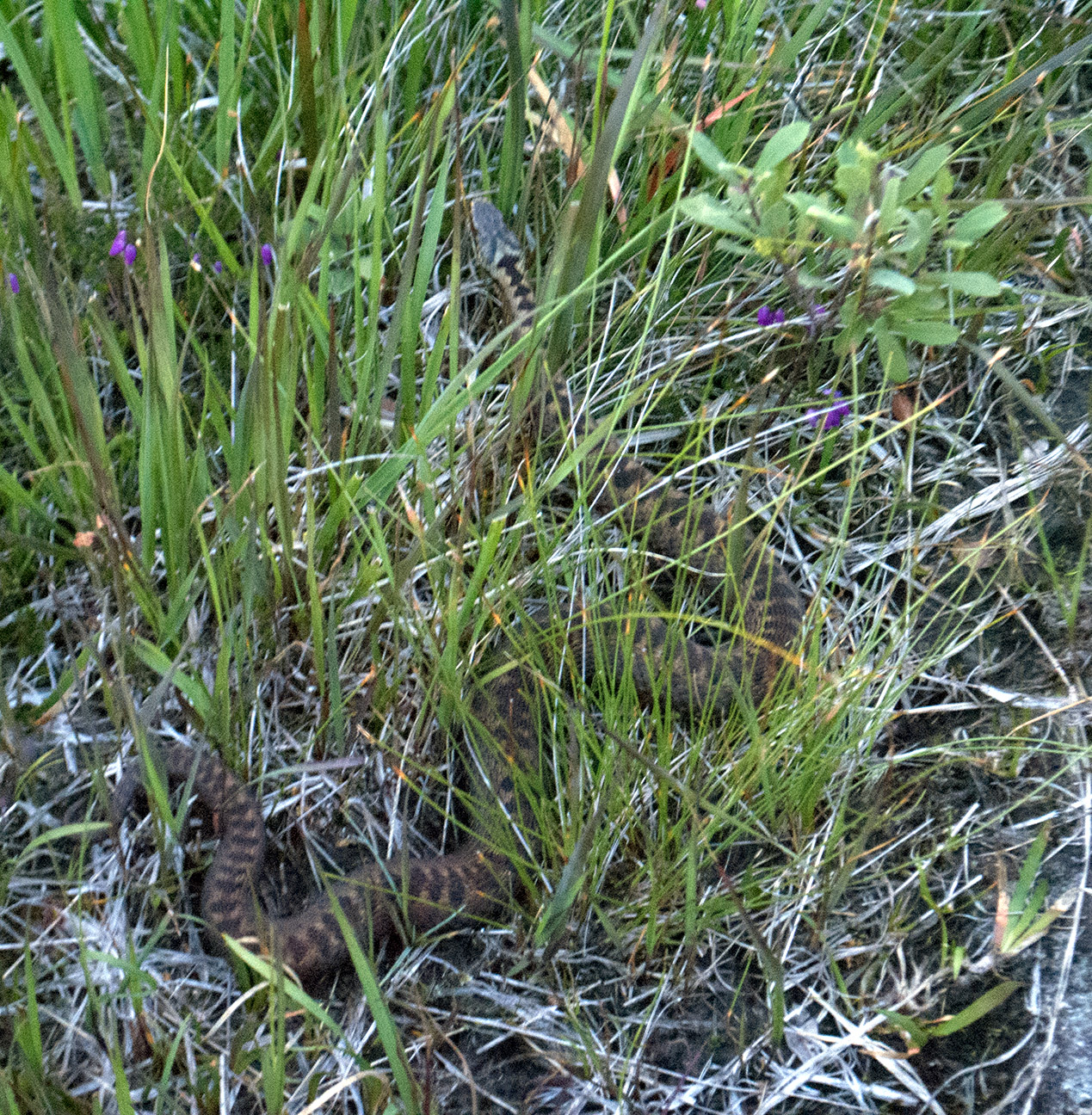
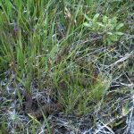
A short-ish but tussocky and boggy walk followed by a very wild camp.  Nice evening with ever-increasing wind.  Met an adder shortly before pitching for the night on the only vaguely suitable ground.  Previous choice was under a sheltered rock, but a deer had obviously had the same thought when it was unwell and consequently expired there.

Glen More, Mull Glen More, Mull Loch Àirde Glais Gleann a' Chaiginn Mhòir, Mull Adder, Mull

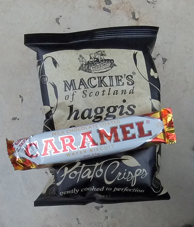
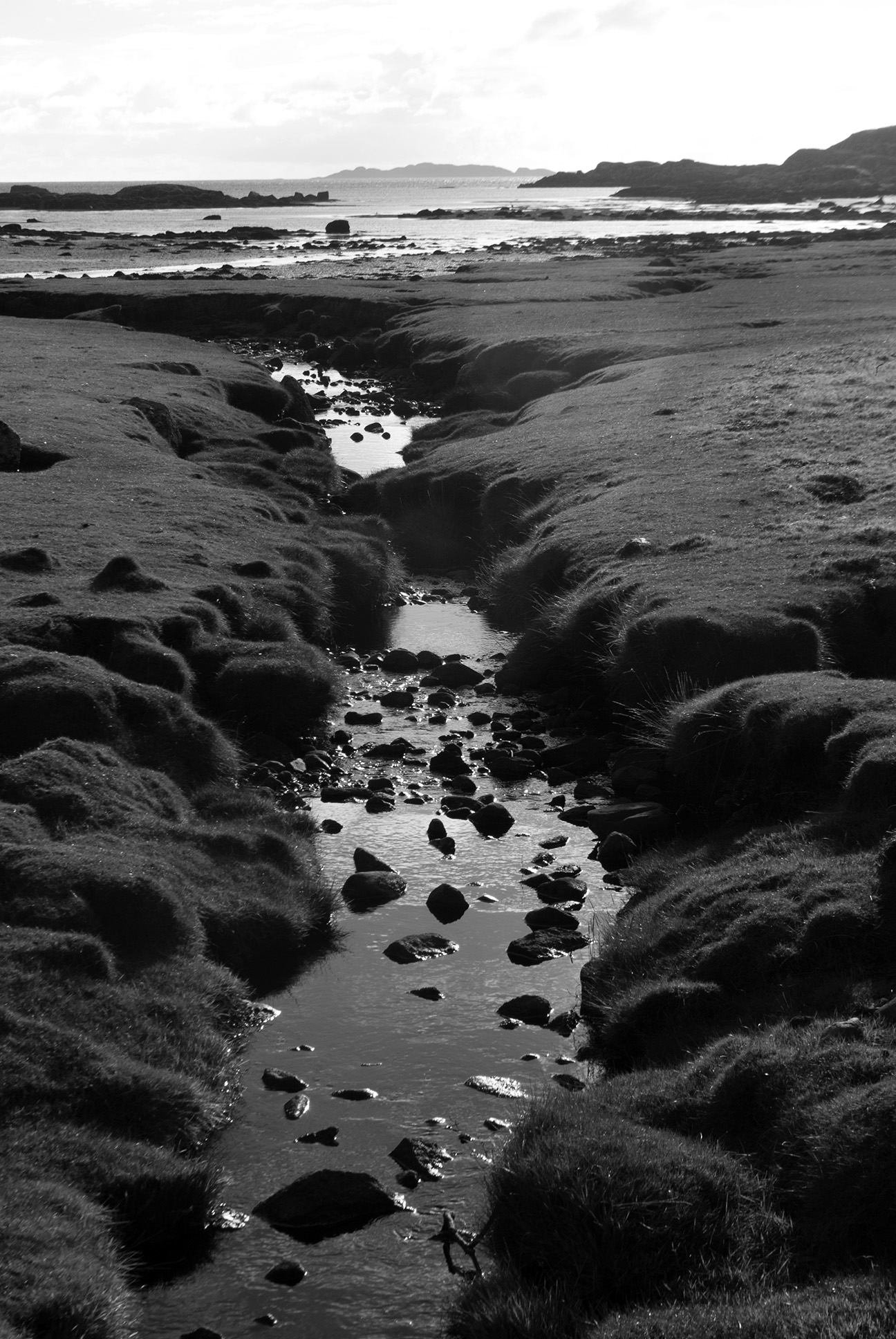
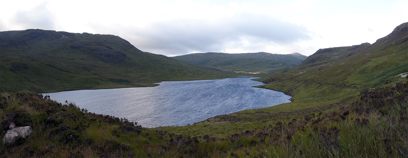
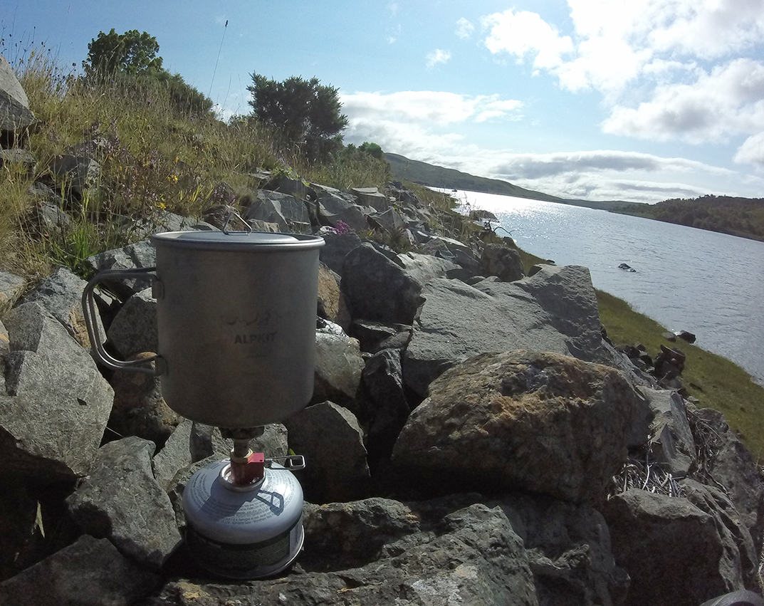
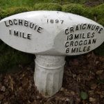
A peg was blown out into the burn at 5 am, so that corner of the tent was anchored with the water bottle and I waited in the sleeping bag for enough light to pack up and walk down towards Loch Buie.  I serendipitously found the peg while rinsing out my mug before I left.  Walking to the main road I missed the bus by a minute or so, the next one was two hours later so I sat by a sort of estuary where the river Lussa enters (the sea) Loch Spelve, watched the birds and had tomato soup.  I think I spotted an eagle.
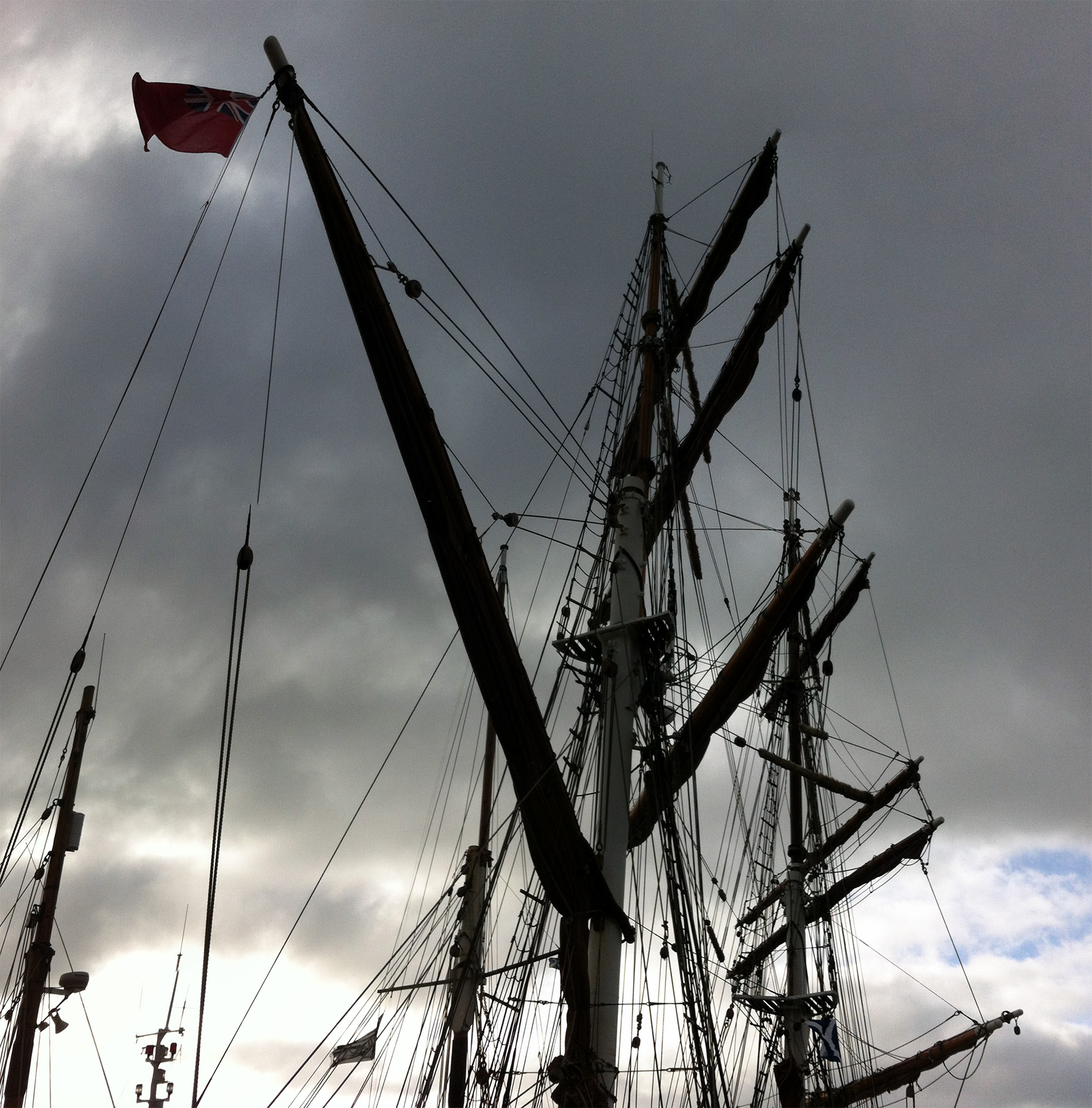
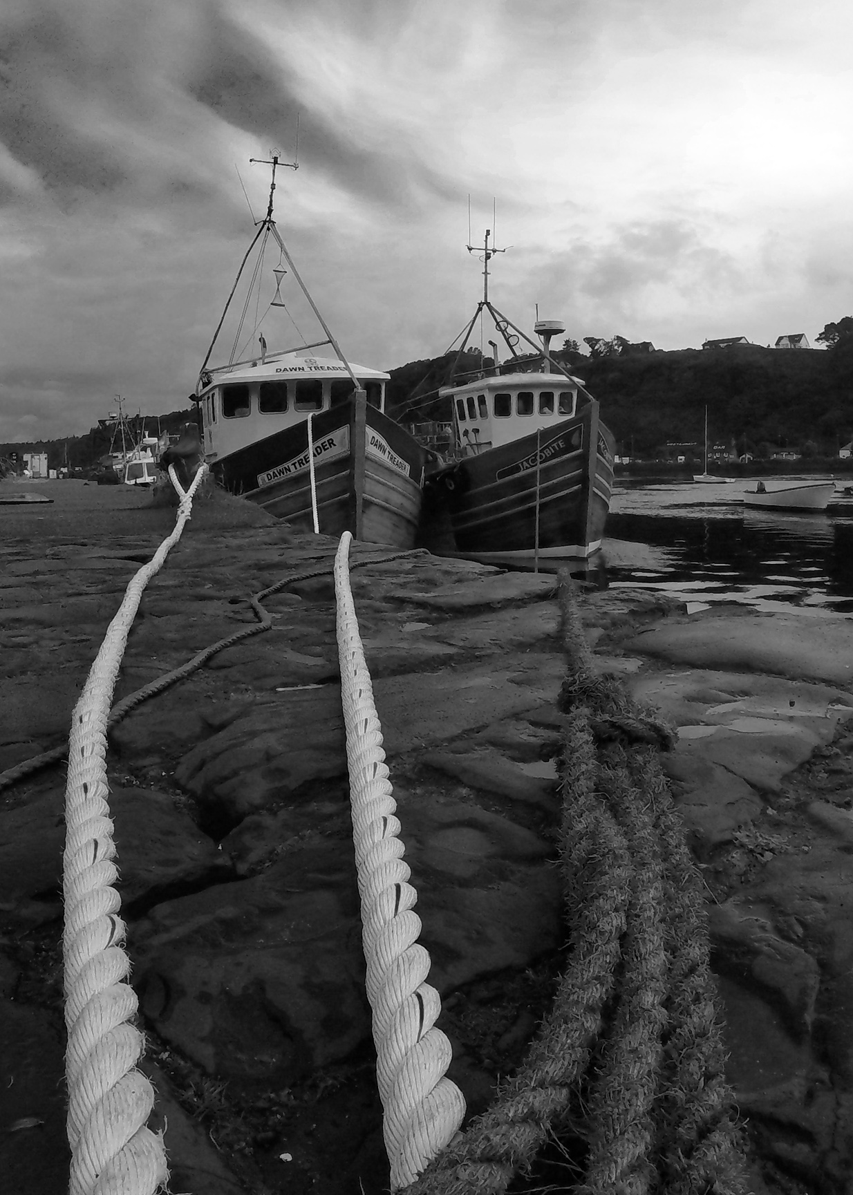
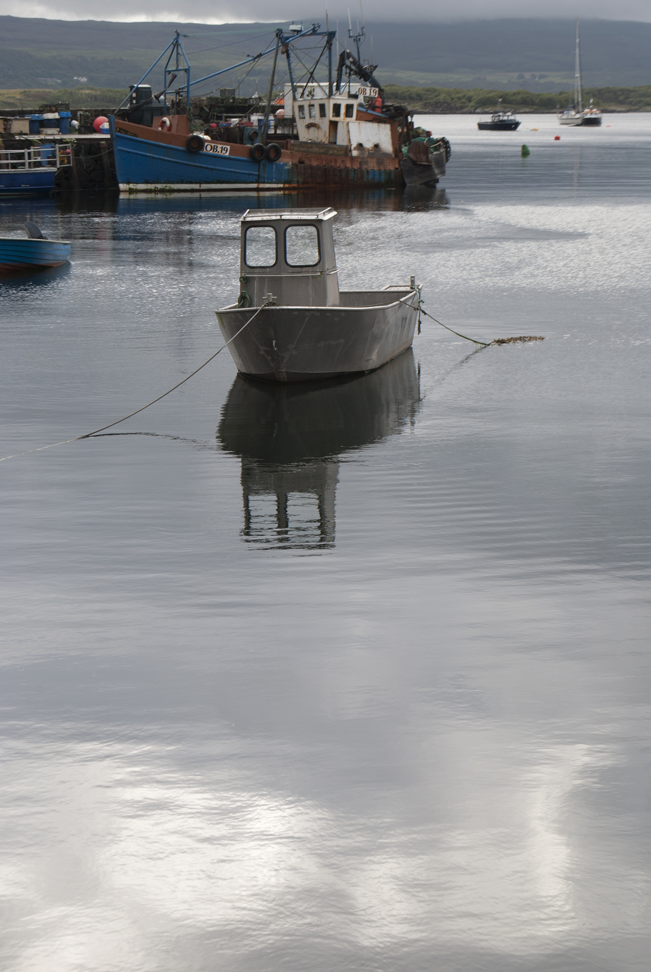
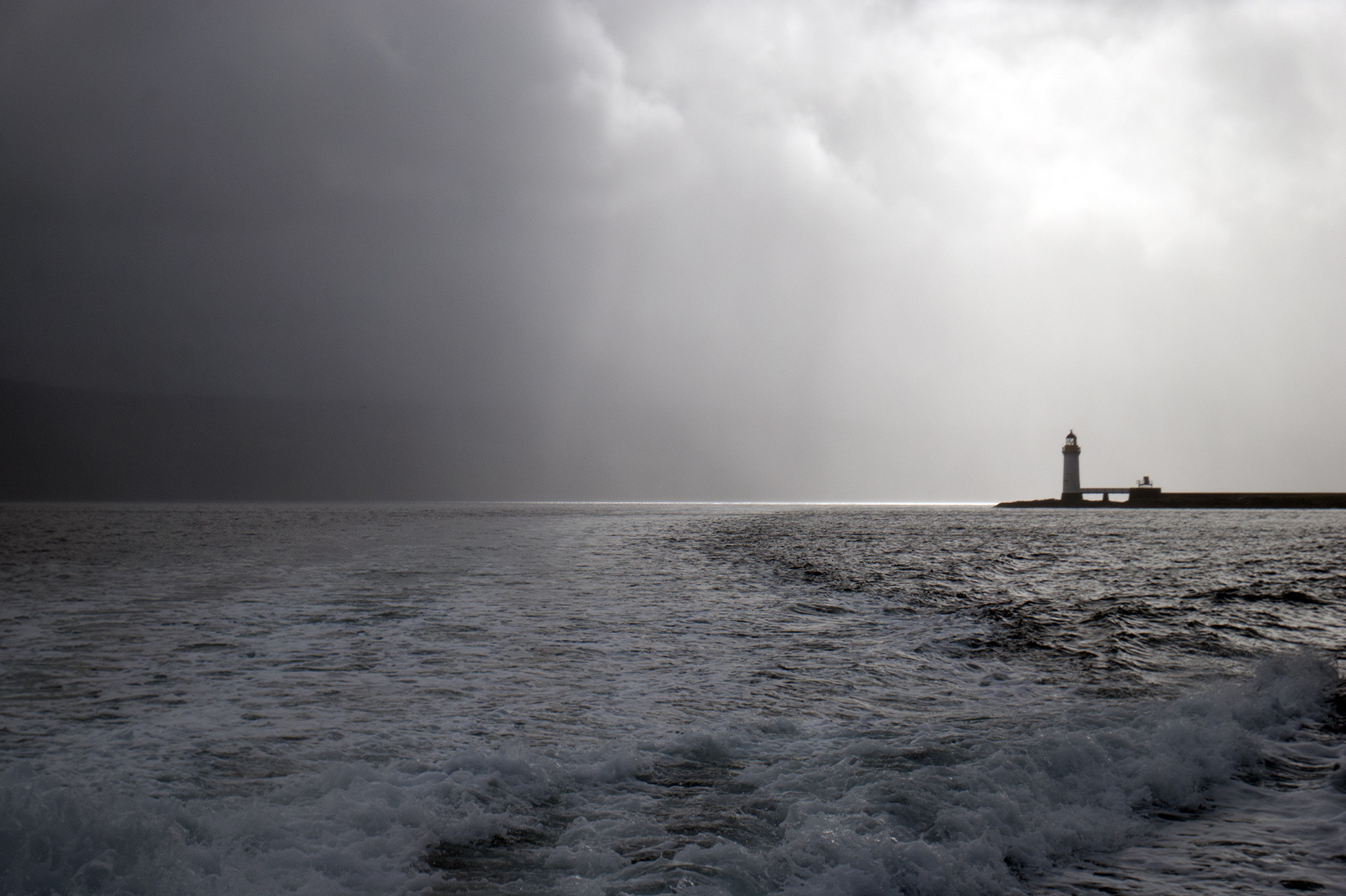
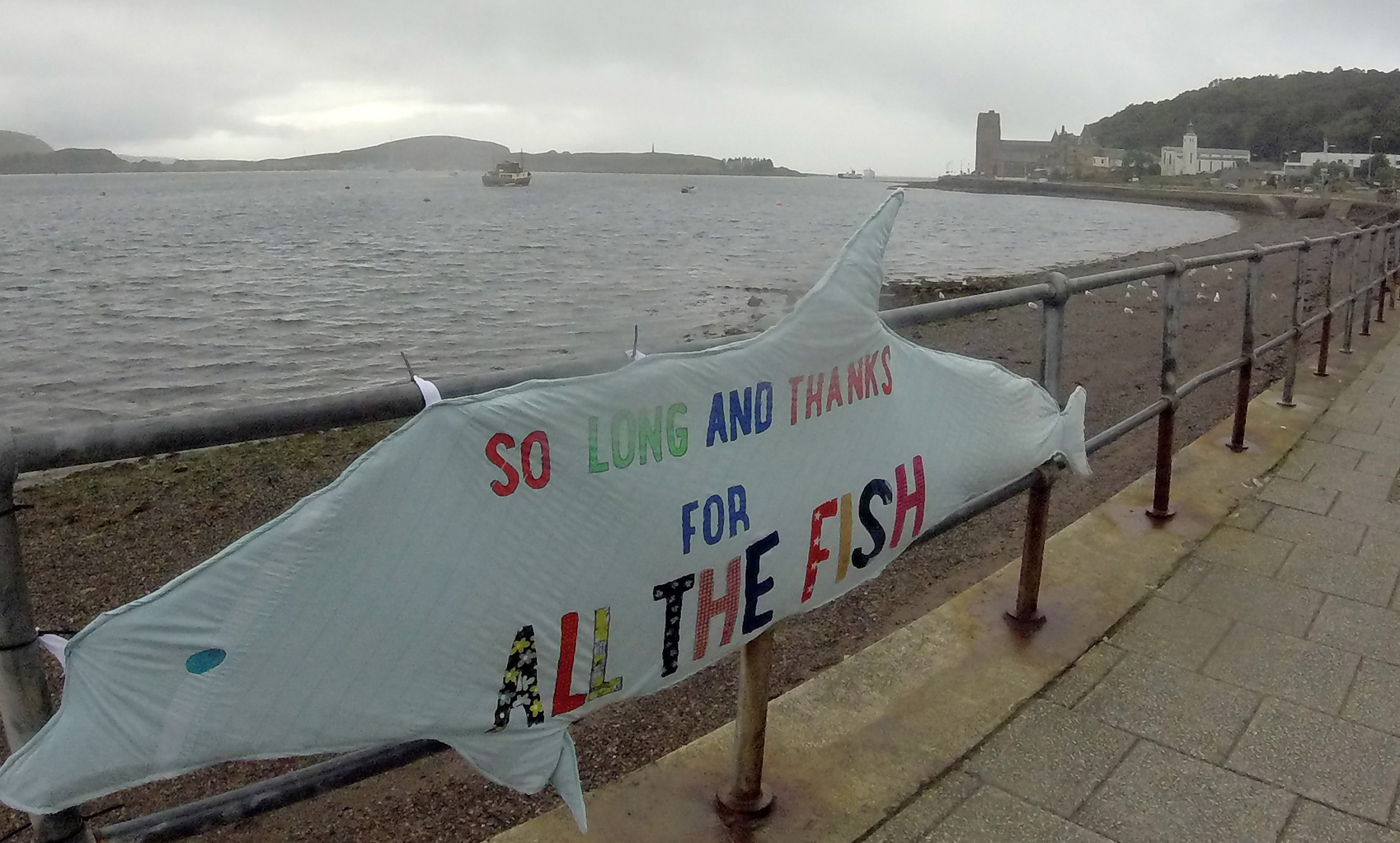
Lochbuie, Mull Loch Uisg, Mull Kinlochspelve, Mull

Balure cemetery, Loch Spelve, Mull Hills on the mainland from Mull Soup on the shores of Loch Spelve Route of three lochs walk, Mull


Oban

Back to reality…the first establishment encountered on disembarking from the ferry in Oban is a Weatherspoons.  But the place did have some more individual touches.

So long and thanks for all the fish; Oban