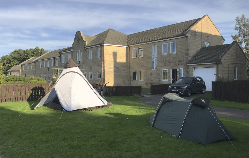
“Would you be able to help out on the 22nd?” “Sure” “You’d have time to ride the 50 km first.” “Ok, sign me up!”
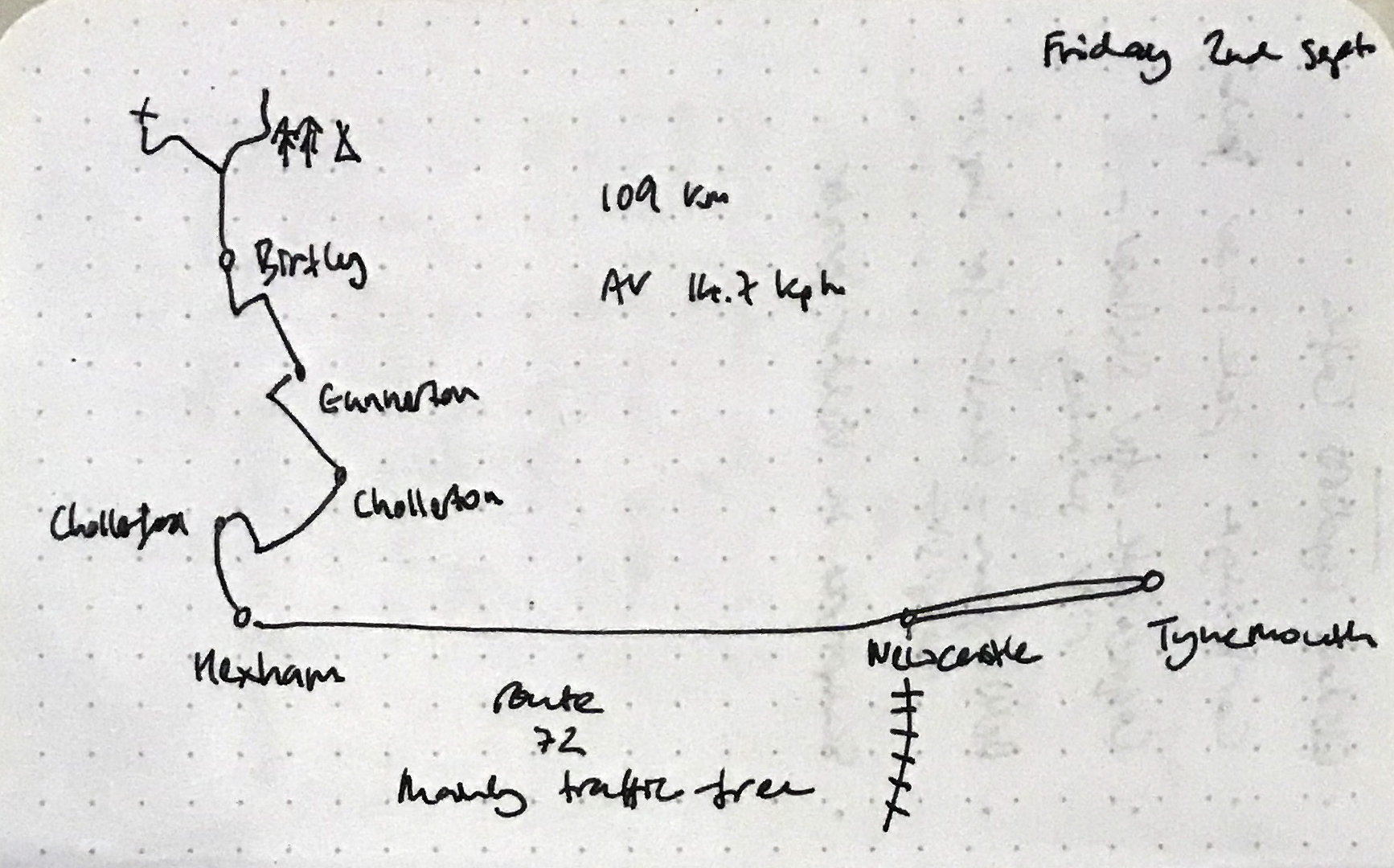
And so after lasts year’s epic 100 km a more sedate ride this year, followed by a shift in the kitchen.
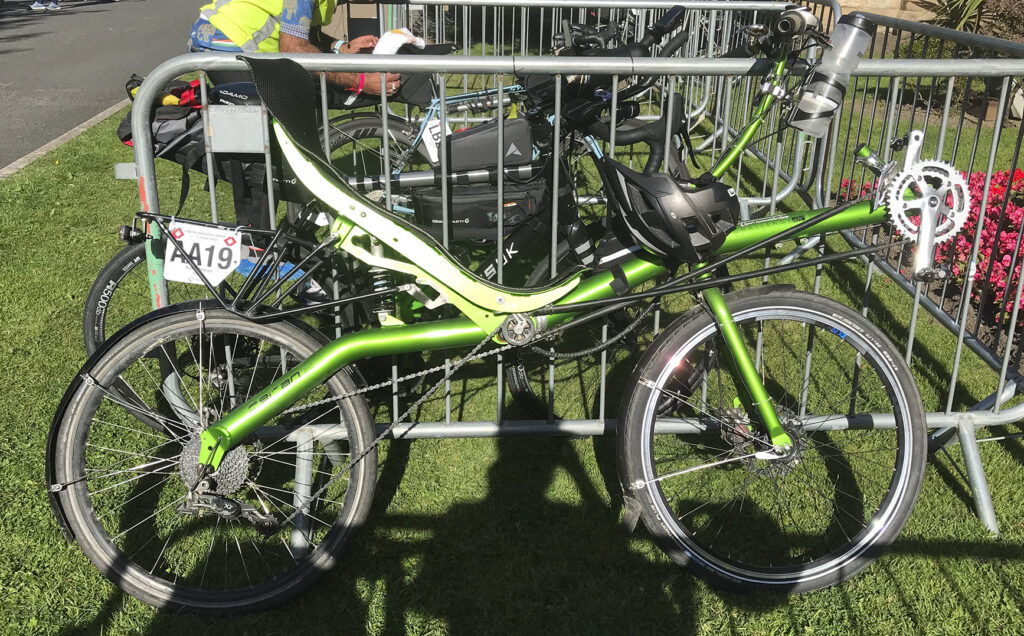
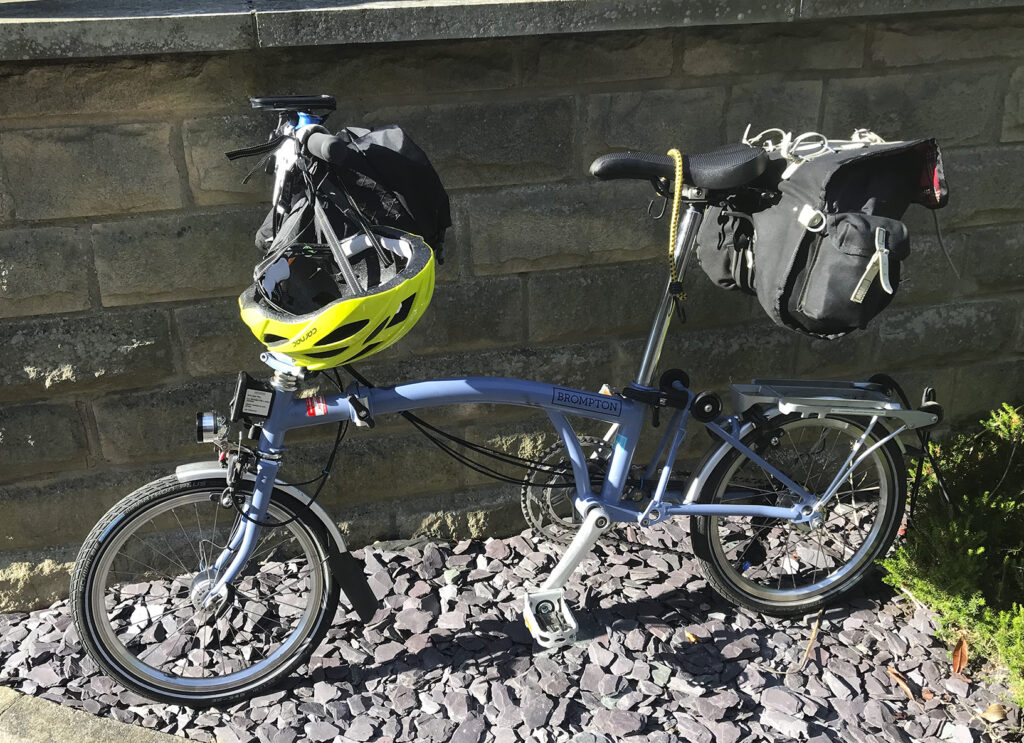
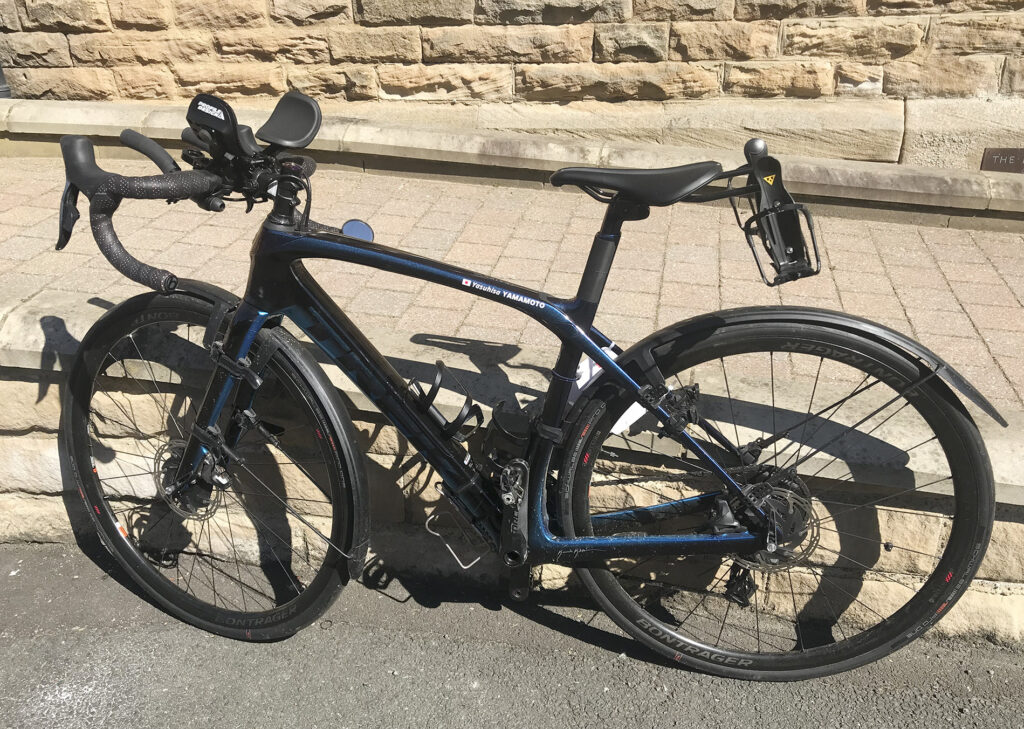
As the audaxer comes to expect (perhaps hope), there was a nice variety of cycles on this ride, including a two-wheeled Lightning recumbent, a hand cycle, at least one mountain bike, a couple of Sonders, and even my own current commuter, the Pompino – the first Audax not on my Hewitt. Not the only flat bar in attendance.
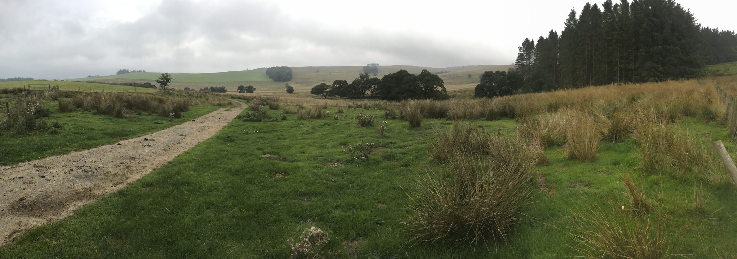
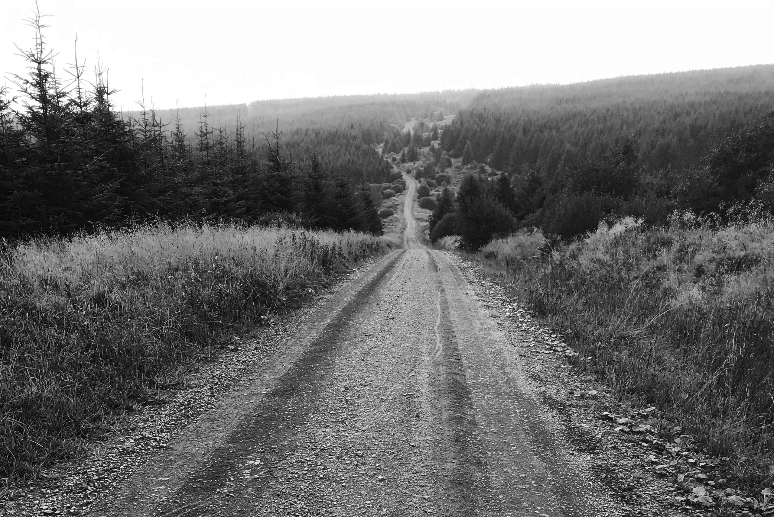
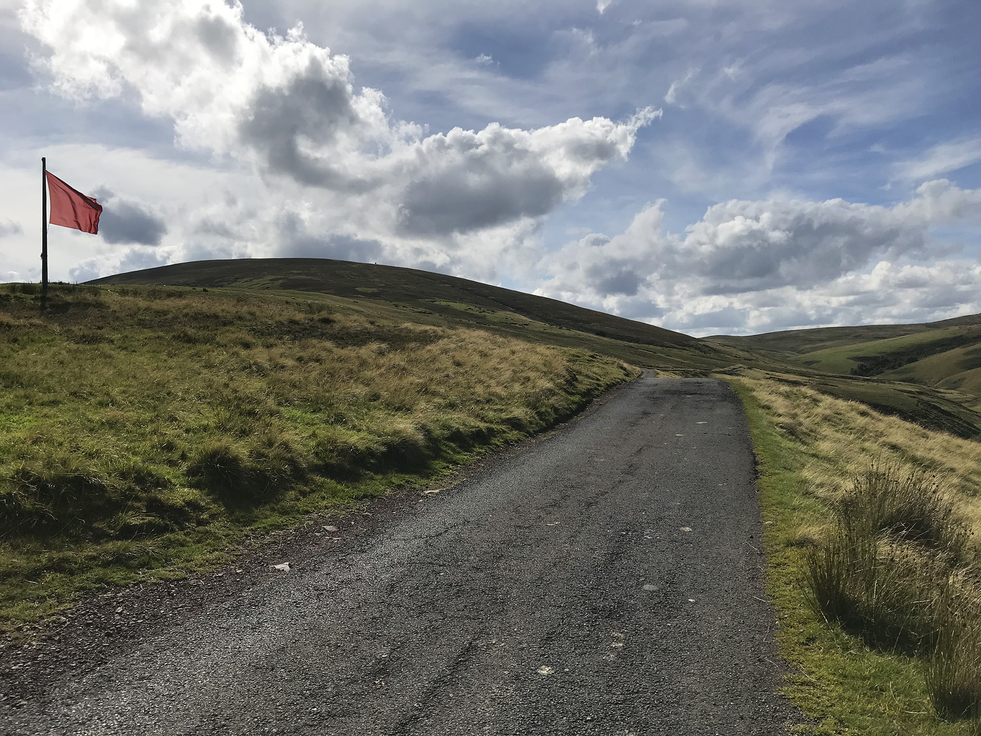
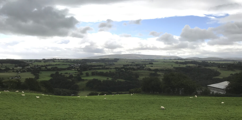
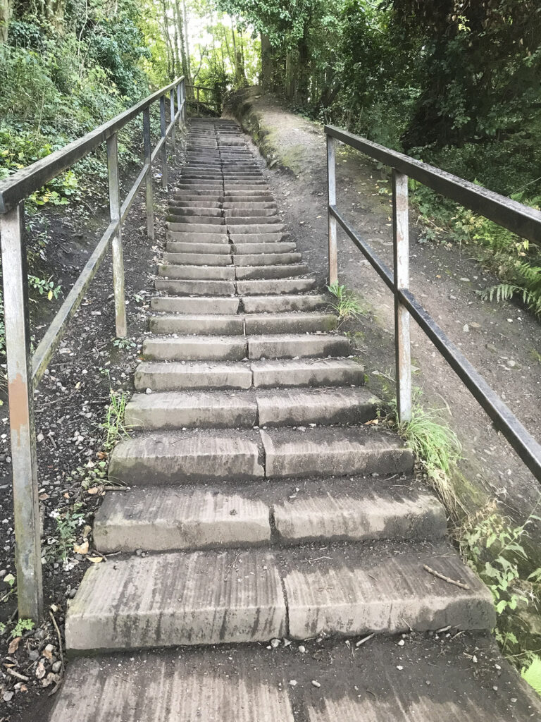
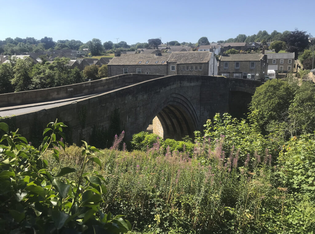
We were very lucky with the weather; mild, dry, a bit of sun. As I write this the following day the rain is lashing against my windows. The route is straightforward along quiet roads, fairly flat (surely not, Dean?) to the extent that I was feeling a bit under-geared, until two step climbs crossing the river Leven. I met who I now know to be Nick, when he had stopped to check the info control location.
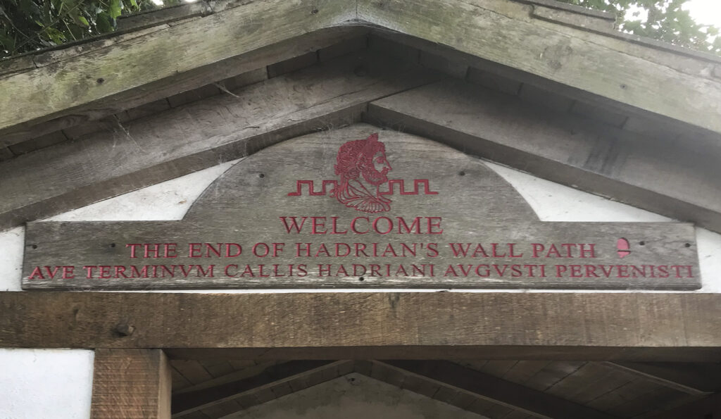
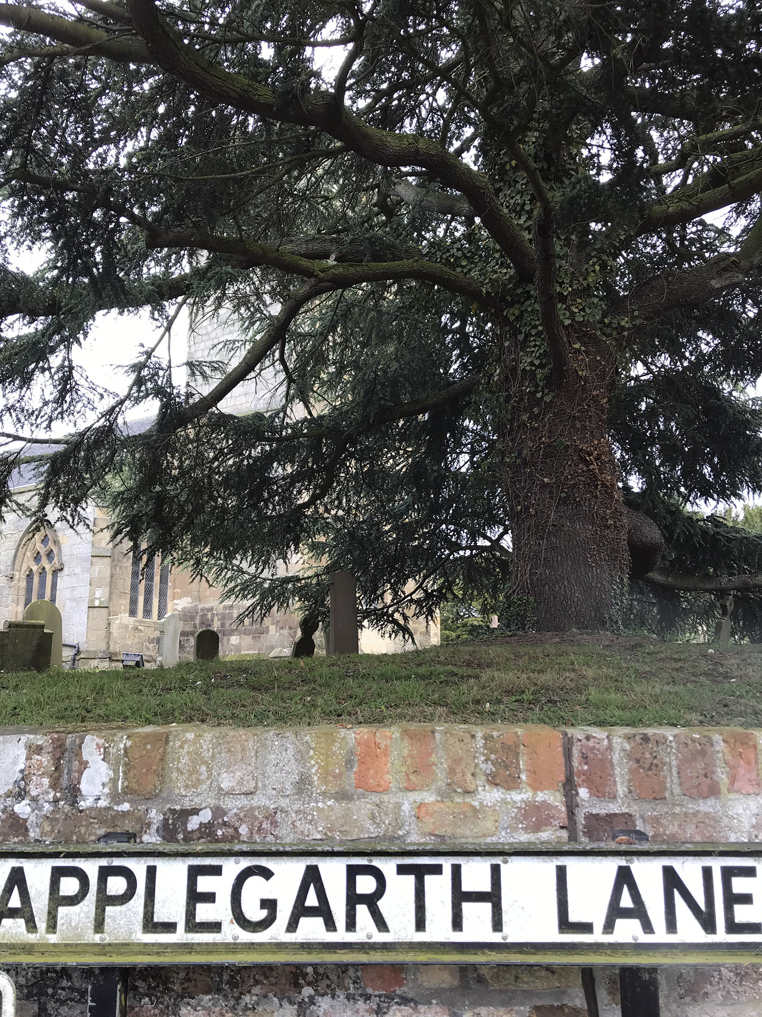
First Audax Library I have found!
The halfway-ish control was a cafe at HMP Kirklevington Grange, who very efficiently served us as we descended en masse. Huge pieces of cake, and my choice, big cheese scones. A great opportunity for learning skills and gaining experience to help find employment after imprisonment.
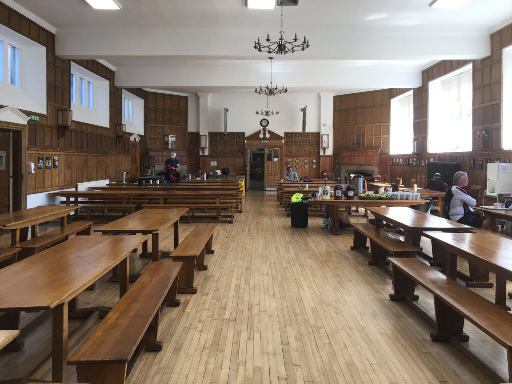
There was a bit of a headwind on the return journey, but no more sudden climbs. On arrival at the Northallerton Scout & Guide Hut there was the usual splendid spread of both mugs and food. After a feed and a shower I joined Kat and Paul in the kitchen to feed the finishers on the 100 and 200 km rides that were also running. Kat had everything well organised, I mostly spent time stirring pans to try and keep things warm and ready but not burnt (and apparently earned the honour of being the first person to prevent the veggie chilli sticking to the bottom of the pan). Paul had left it too late to enter a ride and decided to offer his services instead, which was great. I think they were only waiting for one rider to finish when I left, although unfortunately (well, for them) I left too early to brandish the mop.
That’s the weirdest alt text I’ve ever written
55 km, 218 m climbed, average speed 18.5 kph, total time 3 hours 38 mins
I have wanted to take a ferry from Ardrossan to Campbeltown and ride up the west coast for several years, but the summer-only service keeps becoming a never service. This was an attempt to go this sort of way anyway, starting at the Mull of Galloway and heading north. I was over-ambitious and it didn’t quite work out as planned, so I spent some time on Arran and Bute instead.
This trip featured midges, rain, an eye that was stuck closed overnight and a fungal cycling short issue.
A glimpse of the Barr Hill from the train
Hillend Campsite, Auchinleck
03/06/24 – train to Auchinleck
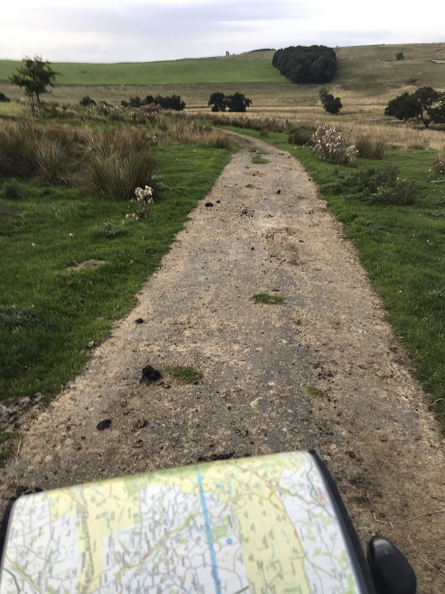
Questionable route choice
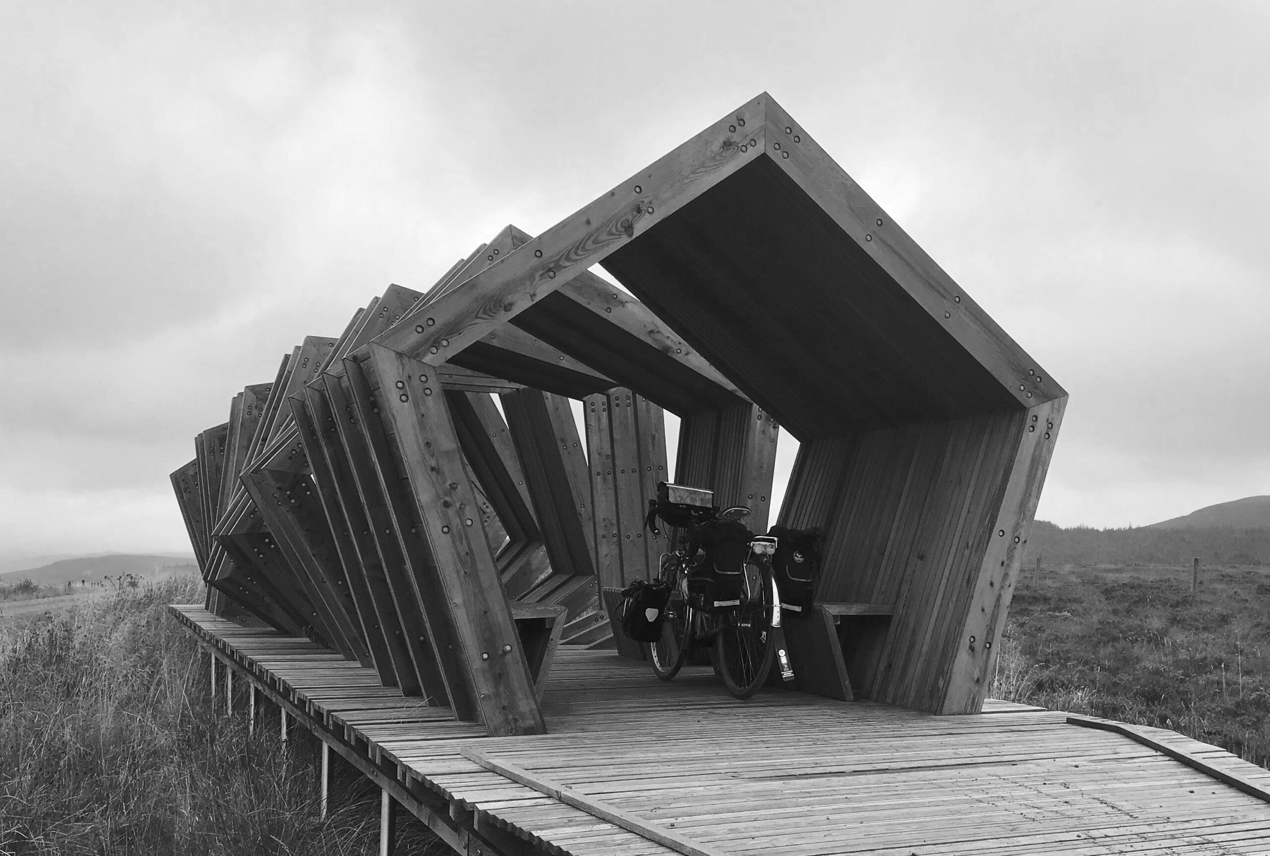
“In memory of Jean Galloway Hunter Blair, 1890 -1953, whose wish it was that a shelter should be built in this place”
Straiton
Straiton
Carrick Forest
04/06/24 Auchinleck – Glentrool
Morning hail storm in Glentrool
Glenluce
Glenluce
Sandhead
Approaching the Mull of Galloway
Foghorn (no longer in use)
Mull of Galloway lighthouse
Location for filming The Vanishing, based on the Flannan Isle mystery
Isle of Man in the distance
From the Mull
05/06/24 Glentrool – Mull of Galloway
Dirniemow Bridge – felt like I was in The 39 Steps here
Cross Water of Luce and railway line
Near the Ayrshire/Dumfries & Galloway border
06/06/24 Mull of Galloway – BarrhillCuckoo at Dirniemow
Excellent shop and PO in Dailly doing filled rolls
Campsite at Culzean Castle
Aldi packet risotto 5 stars
Looking towards Arran
07/06/24 Barrhill to Culzean Castle
Lumpy bit from Maybole over Brown Carrick Hill
On to NCN route 7 to Troon
Ayr
My old shared flat in Troon, first floor bay window was my room I think
North Bay from Barassie
Troon – Brodick
Brodick
Wet and midgey
Glen Rosa
Glen Rosa campsite
08/06/24 Culzean Castle – Glen Rosa, Arran
Breakfast in Brodick; Troon Ferry on the left
Goatfell rage
Lamlash
Holy Island
Above Kildonan; Pladda and Ailsa Craig
Lost dog, who found me
Blackwaterfoot. Many bus stops had furniture provided.
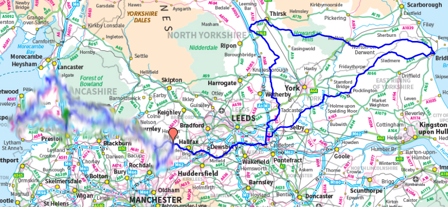
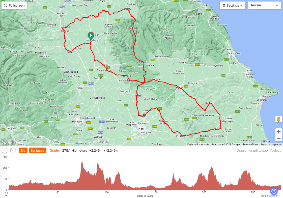
Is this the UK’s toughest 100 km? It was certainly mine.
This ride isn’t some sort of trick; the route and detailed explanations of the off-road sections were sent to us by organiser Dean, including ‘don’t expect to be able to ride up the incline’. The incline in question is a unpaved, steep track up from Ingleby to the plateau of the North York Moors which was originally a rail track, moving rocks from the quarries up on the moors to the main train line lower down on more sensible terrain. It wasn’t the only bit of rough stuff though; the route also crosses a steep track over Rudland Rigg between Farndale and Bransdale, a forest road around Rievaulx Moor, and a byway over Arden Moor from Hawnby back to civilisation. And we were also warned about the full moon.
The first section was a relatively flat and rural ride to Ingleby, although just to give a taste of things to come we did follow a section of a BOAT which was full of mud and puddles that required some of us to walk around the more unpredictable sections (is this a shallow puddle or will I fall and sink into it?). It also set the weather tone for the day – it was glorious, but difficult. Cold (freezing, literally) but also bright sun which was warm when in it. Combined with steep uphill heat-producing climbs, and steep downhill chill-inducing descents, many layers were needed but they were constantly damp.
Approaching the incline was a forrest track which looked delightful but I felt like I was riding through treacle; I’m still not sure if that was me, the bike, or the imperceptible gradient. The walk up the incline was hard going, and I was even overtaken by another (walking) participant. Once at the top though it is a fantastic ride, around 10 km of fairly flat hard packed track around the top of Farndale to the Lion Inn. I’m not sure of the legality of the few off-road motorbikes that were around, but they passed fairly slowly with plenty of space, so no complaints.
Up…
Looking back down the incline
Bloworth Crossing
Excellent tracks
First off road section
Farndale below
The Lion was pretty busy, but I found a little table next to the bar. I thought I would be delayed waiting for food but they were amazingly efficient, I had hardly sat down before my sandwich appeared. They certainly know what they are doing. This was the last time I saw anyone else on the ride, and to be honest I was pleasantly surprised that I had at least made good enough progress to overlap with them at the halfway (in distance) point.
After a significant descent across Farndale the route once again leaves tarmac to follow a track across Rudland Ridge. This was crazily steep in parts for another BOAT – a quad bike and Landrover came up and I think I would have been unsettled in those.
Farndale
Second off-road section
Once on the top I got to ride a bit, and passed a few walkers. There then followed the descent into Bransdale which Dean had accurately described as ‘the most technical section‘. It wasn’t single track, but it was steep, rough, and eroded so there were muddy sections and big ruts. I had to walk a significant part of it, and have no idea how those on more road type bikes got on.
Once the road was met again near Cockayne progress improved. Here, following the curve around the valley head, a barn owl swooped across the road in front of me to perch just to my left. As I got nearer it moved a few metres ahead, to be repeated several times before the road took me away from its habitat. What a treat. I got to the top of this spur and stopped to put an extra layer on, anticipating the chill of the next descent.
A sharp turn off the road by an interesting stone took me on a wonderful forest track around the north end of Rievaulx Moor. Once again I had to walk up the steeper sections. I disturbed a couple of deer in the trees and was able to see the white rear end of one of them bouncing away into the woods for quite some time.
Forest track around Rievaulx Moor
Tarmac once again met, the next stop and only section of the ride that was familiar was at Hawnby. This control offered a choice of tearoom/shop at the bottom of the hill, or pub at the top. Given my arrival time I assumed the tearoom would be closed (incorrect as it turned out), and I was not about to descend to find out only to have to go back up the hill, so I stopped at the Owl Inn. It’s quite a posh place, even the little dog that came and sat in my seat when I went to the loo was wearing a bowtie, so I felt a little out out of place, sweaty and mud-splattered as I was. The bartender was perfectly welcoming though, and after the ride I learned that they even had a stamp I could have asked for. Orange juice and soda, and salted crisps consumed, I was ready for the final stretch.
The road becomes a BOAT at Arden Hall. I walked up most of this climb. A couple in a car coming the other way (brave move in itself) stopped to ask where I was heading. When I said Northallerton they responded with “that’s a long way”; given that I was 80% done I thought it best not to elaborate. They also warned it would be dark by the time I got there, which had occurred to me.
Once I finally got to the top of the climb I was rewarded with a decent track over the plateaux, solitude, and a full moon rise behind me. Well, we were warned…it was a little eerie but also magical.
Final off-road section, crossing Arden Moor
Our track meets the Cleveland way, as well as a tarmac route off the moors, at a cross roads. A couple were just leaving by car and we managed a mutually beneficial arrangement through a couple of gates. The roads were dark and very quiet now but I kept getting sight of the moon in my peripheral vision and thinking it was car headlights approaching from behind. I was also tiring and had one final stop not that far out of Northallerton to eat the last few Vimto fried eggs (highly recommended if you ever see them) from my stash.
When I finally reached the scout and guide hut, Dean broke it to me that I was about 5 minutes after the cut-off time. I hadn’t looked at my watch for quite a while but this didn’t come as a huge surprise, given how much walking I had done. I was so happy to have finished, not tempted to head back the way we came after the Lion Inn (described as the point of no return), not to mention enjoying the amazing landscapes and atmospheres that this part of the country has to offer. Fortunately for all concerned the riders on the 200 km (Three Bromptons, a Moulton and a Bickerton – that’s the name of the ride, not the entrants) were still arriving back so I hadn’t caused the fantastic band of helpers to be waiting only for me. These included Kat who had arrived on the same train as me and spent all day cooking and washing up, and Debbie and Colin who’d ridden the 50 km and then promptly rolled their sleeves up and staffed the kitchen. I was fed some excellent cheesy cauliflower soup, although sadly didn’t have room for many of the other splendid things on offer, although managed to sneak some parkin passed my digestive reluctance.
Health annoyances had kept me from cycling much over the last year or so, and it’s been a while since I did much more than my short commute, so I wasn’t as fit as I have managed to be in the past (and that itself wasn’t anything of note). I was riding my usual tourer but with its touring (rather than audax) wheels so it wasn’t the lightest, but having recently tried converting to straight bars it felt quite suitable for this ride. I would have really struggled on drops. It still feels like some sort of achievement to be out of time on a 100 km. What comes after full value? Overdrawn?
103 km, 1523 m ascent, average moving speed 13.7 kph, 10 hours.
Train to Carlisle and then a short ride (once the way out of Carlisle was located, always problematic) to the coast near Gretna where I failed to find the Lochmaben stone. More appropriate footwear was required. Oakbank Lakes campsite was rather expensive, and charged an extra £5 to use the facilities. What else was I going to do, crap on the grass?
Border crossings: 2
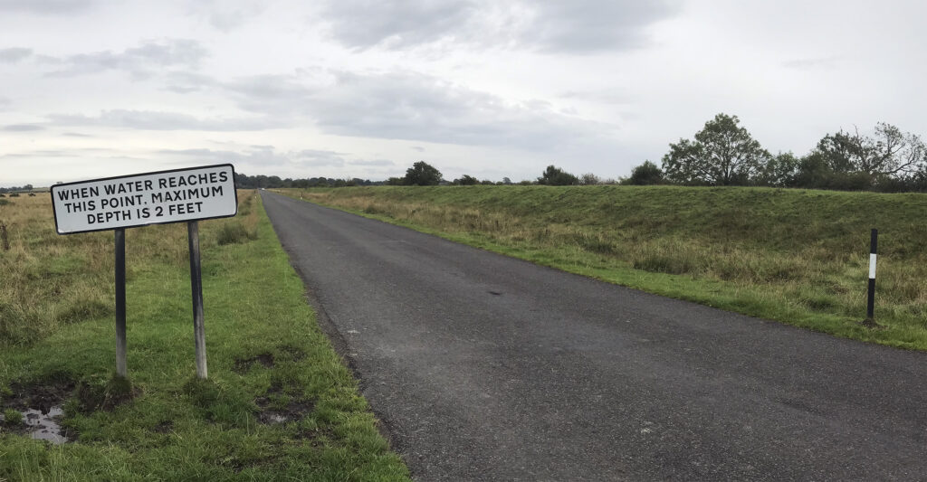
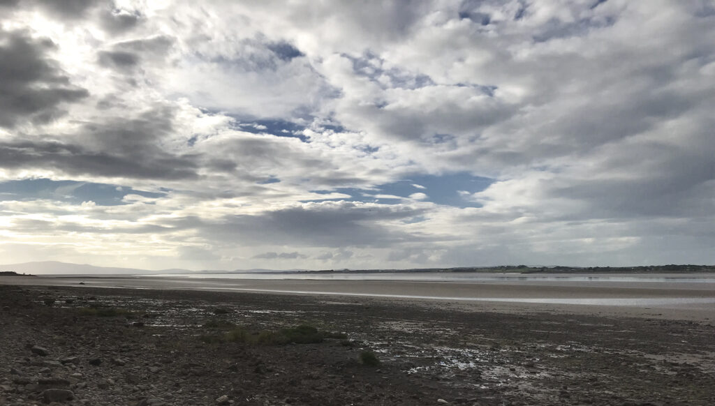
Solway coast
Solway coast
Oakbank Lakes campsite
Campsite lake
‘Facilities’
River Esk at Longtown
Longtown livestock market
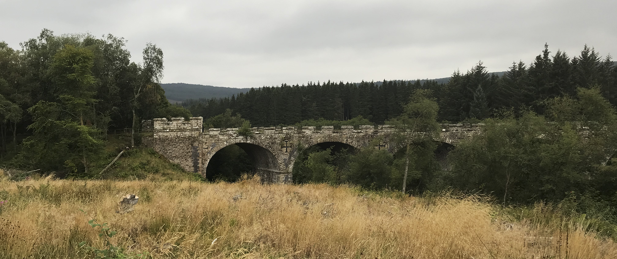
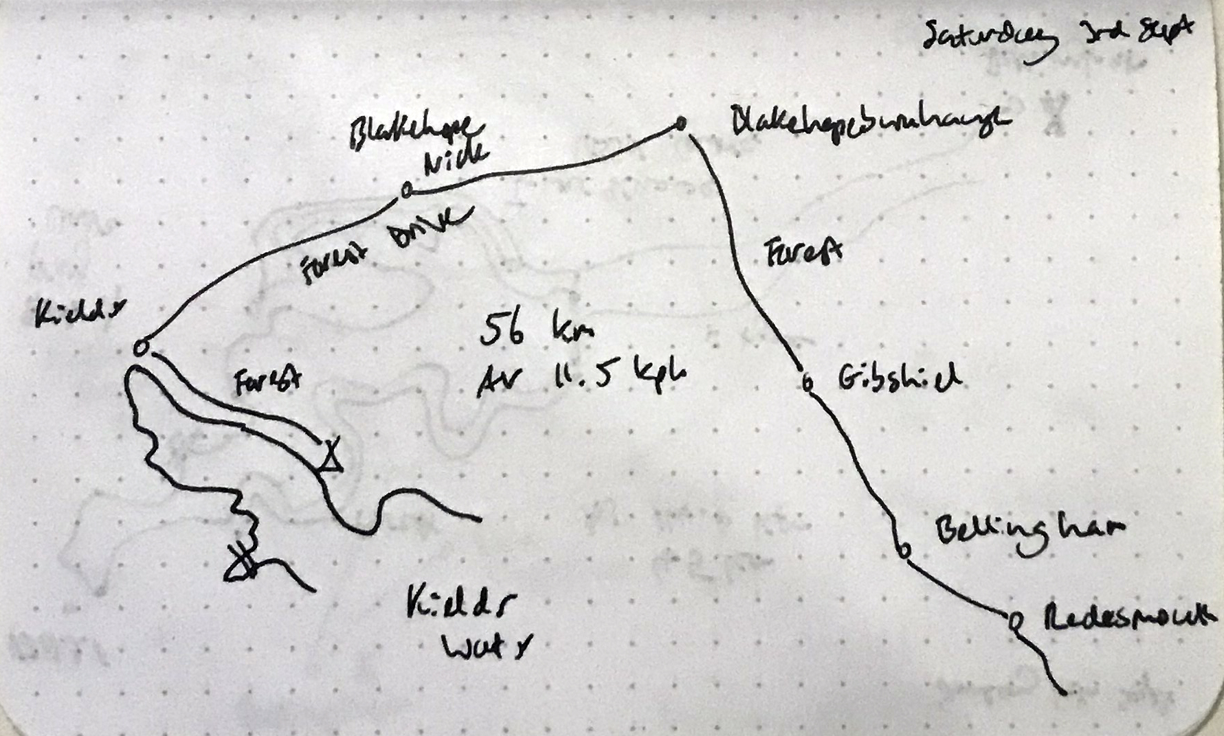
04/09/23 Longtown – Kielder
A long slow slog through the forests of Kershope/Newcastleton/Kielder. A fully loaded drop bar bike was not optimal here. The top is quite funny; Forestry and Land Scotland and Forestry England have their tracks going up from their respective sides to the border, and then there’s a grudging bit of single track joining them together. Didn’t see another soul all the way through the forest track. Stayed at the lovely Kielder Village campsite.
Border crossings: 4
Cyclists should teleport…
Scots’ Dyke
Liddesdale
Presumably something to do with the railway line that once unbelievably ran along here
Entrance to Kershope Forest
Scottish Borders region over the bridge
The border (Kershope Burn)
Border crossing
A little single track at the top
Crossing Lewis Burn
05/09/23 Kielder – Yetholm
Another considerable climb with some walking required. Given the number of walkers turning up randomly here (Pennine Way, St Cuthbert’s Way) I was expecting the campsite to be a little more relaxed, but I can’t complain as I found their website, booked a night and had an email telling me where to pitch all very swiftly at Kirkfield Caravan Park.
Border crossings: 1
Deadwater
Deadwater
Another bit of old railway
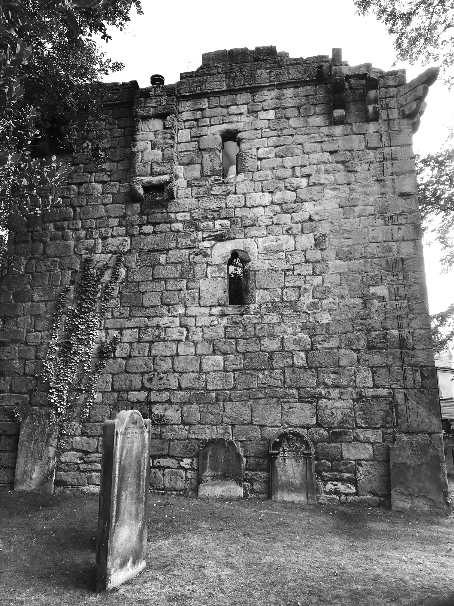
Saughtree Chrurch
The road up to Note o’ the Gate
Bonchester Bridge
Very old tree
Jedburgh
Jedburgh Abbey
Jedburgh
Town Yetholm
06/09/23 Yetholm – Berwick-upon-Tweed
A short day to Berwick, found the Seaview site which most mostly vans and caravans with a small grass strip for tents, then spent a bit of time wandering around the town and getting a train ticket for the return journey home.
My first visit to the York Cycle Rally. I loved it. All different shapes and sizes of bikes and people, more variety than I imagined (on both fronts – especially gender-non-conforming people). Got to meet some excellent yacf folk.
After a few disasters (luggage failure, water butt collapse, cat sick) I ended up leaving later than planned and on a different bike. At nearly 50 kms it was my longest ride of the year. Ok I did walk up a few hills.
Leeds to Tadcaster is ok, and then there is a cycle lane alongside an unpleasant A road towards York. And then it just stops. So you are deposited on a dual carriageway whether you like it or not. And then I missed the turn off I should have taken so got a bit of extra joy.
That’s a world record holding tandem
Had a good look around nosing at all the different cycles.
I was especially looking forward to seeing the ICE stand, and was treated to test rides on THREE trikes: A VTX (so laid back you have to sort of fall into the seat), a SPRINT X, and an e-ADVENTURE (first time on an e-bike). Time to start buying lottery tickets, or take up bank robbery.
SPRINT X (front) and e-ADVENTURE
VTX
I think a tandem trike on top of a Mini sums up the weekend pretty well.
02-08/09/22 Newcastle – Carlisle, with a bit extra
I wanted to try hammock camping this time, but took some poles so I could use the tarp in the absence of trees. In conclusion; the hammock is very comfortable, but not that well suited to a tour of any length, as it pretty much has to be wild camping, and dragging a bike over fences and through low trees was a bit of a hassle. Better suited to a walking trip (when you know there will be trees).
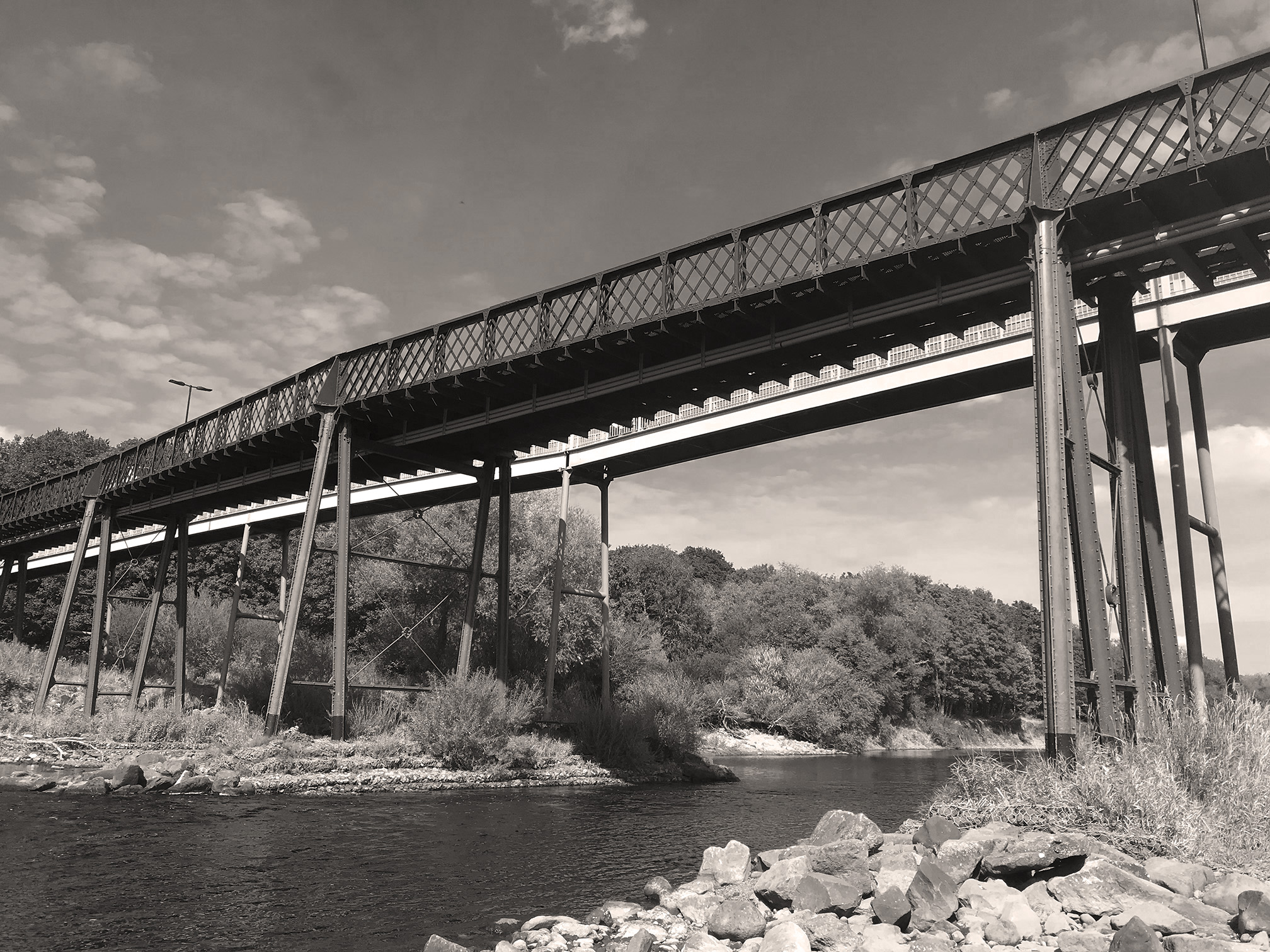
02/09/22 Newcastle – Tynemouth – Redesmouth
Tynemouth
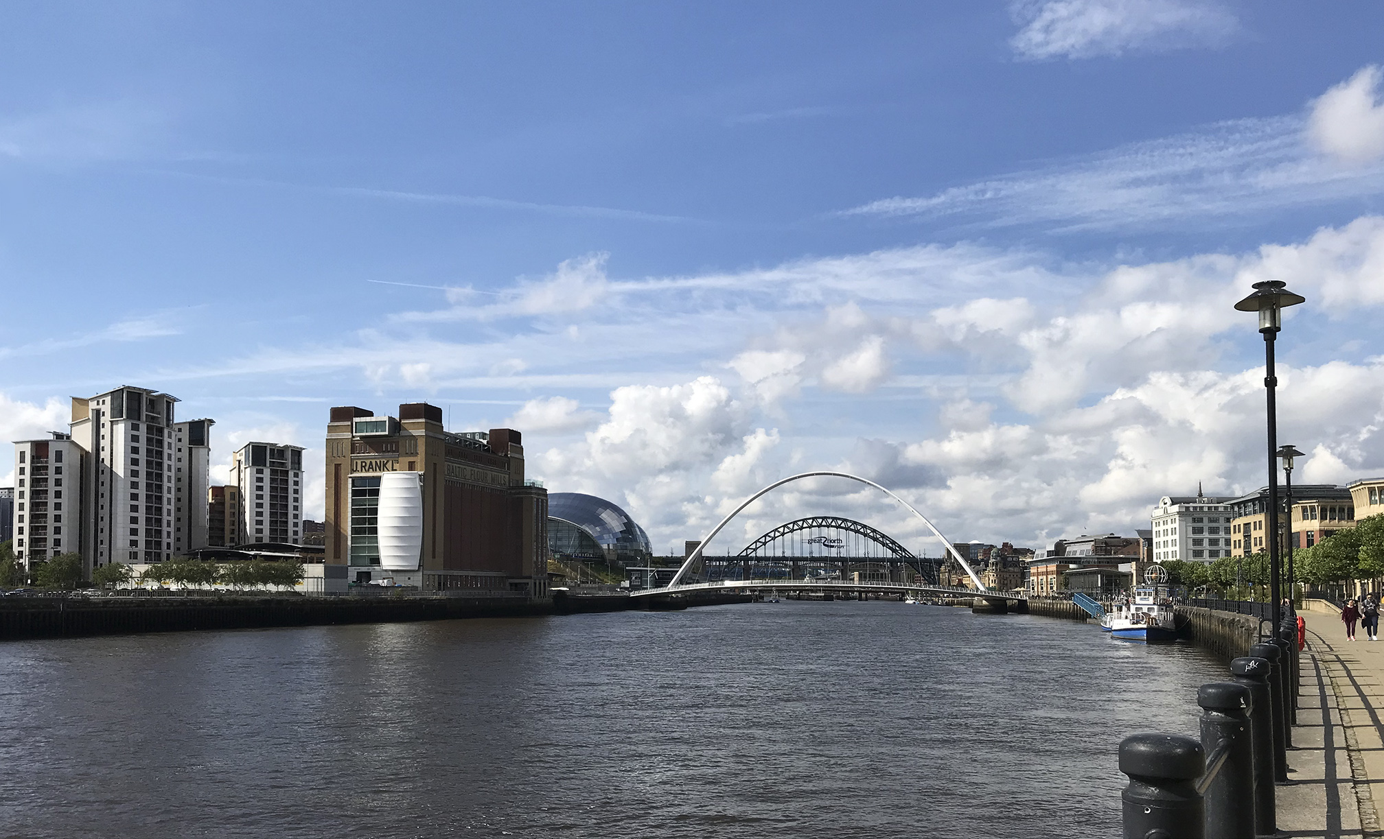
Back in the Toon
Ovingham
Corbridge
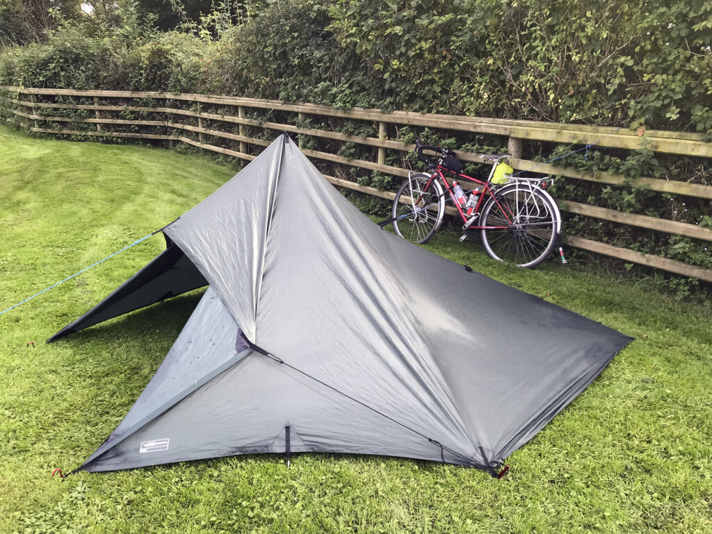
Looking for a spot to string up the hammock
03/09/22 Redesmouth – Kielder Forrest
Stayed in the woods to the right
Passing through Bellingham
High Cup Nick
Put the hammock up somewhere to the right (‘Silvas Capitalis’)
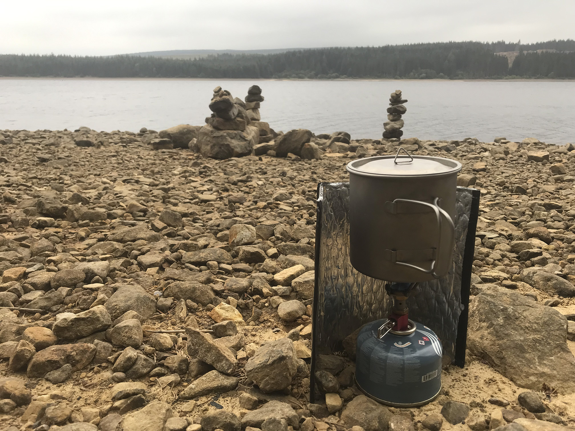
Dinner
04/09/22 Kielder Forrest – Bellingham
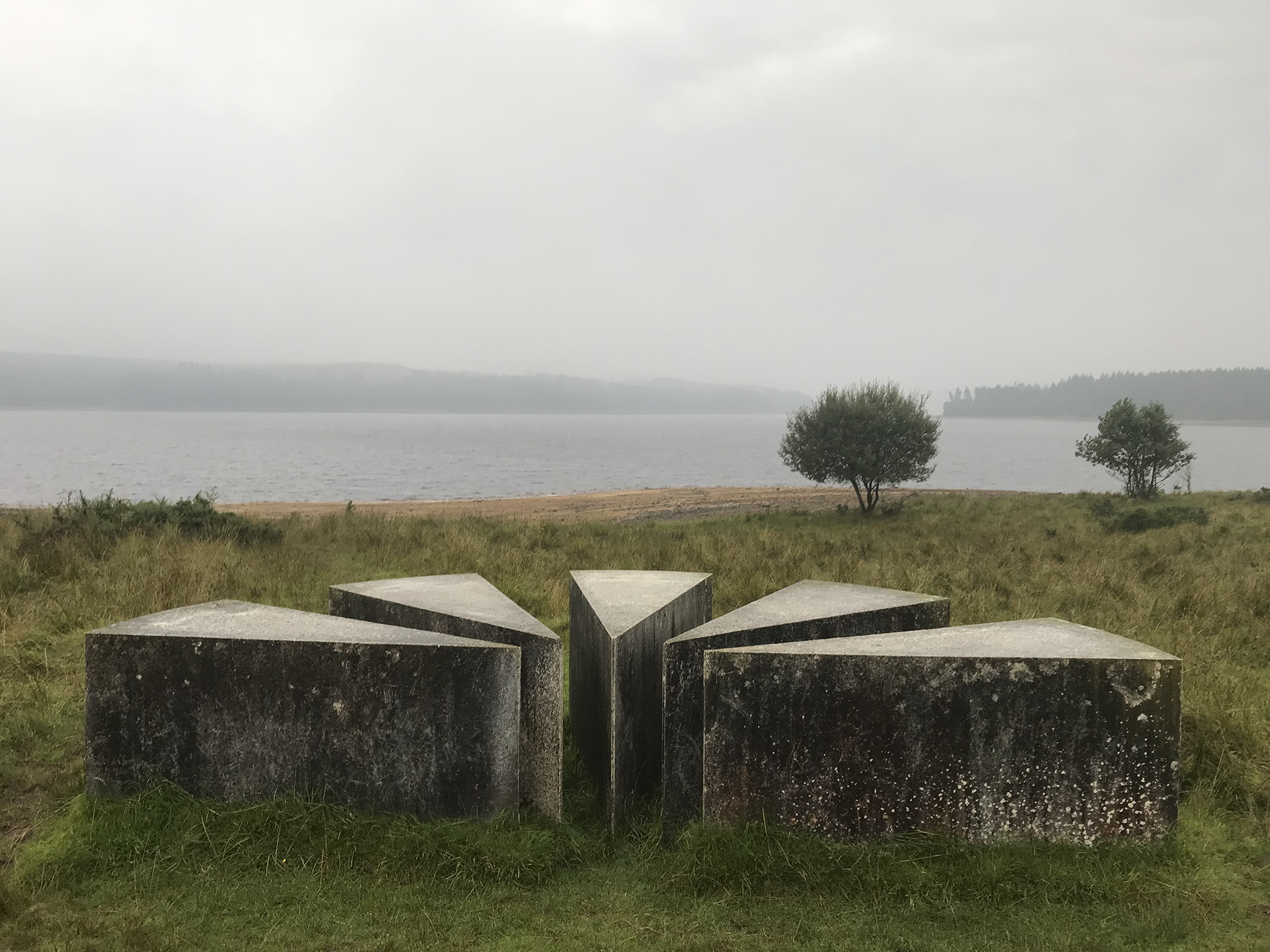
Not a great time to see the sculptures as there was a lot of storm damage and many were closed/inaccessible.
‘Viewpoints’
‘Salmon cubes’
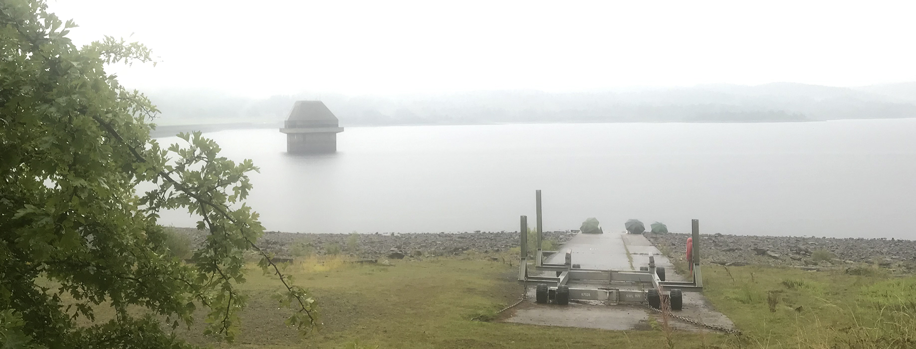
Near the dam
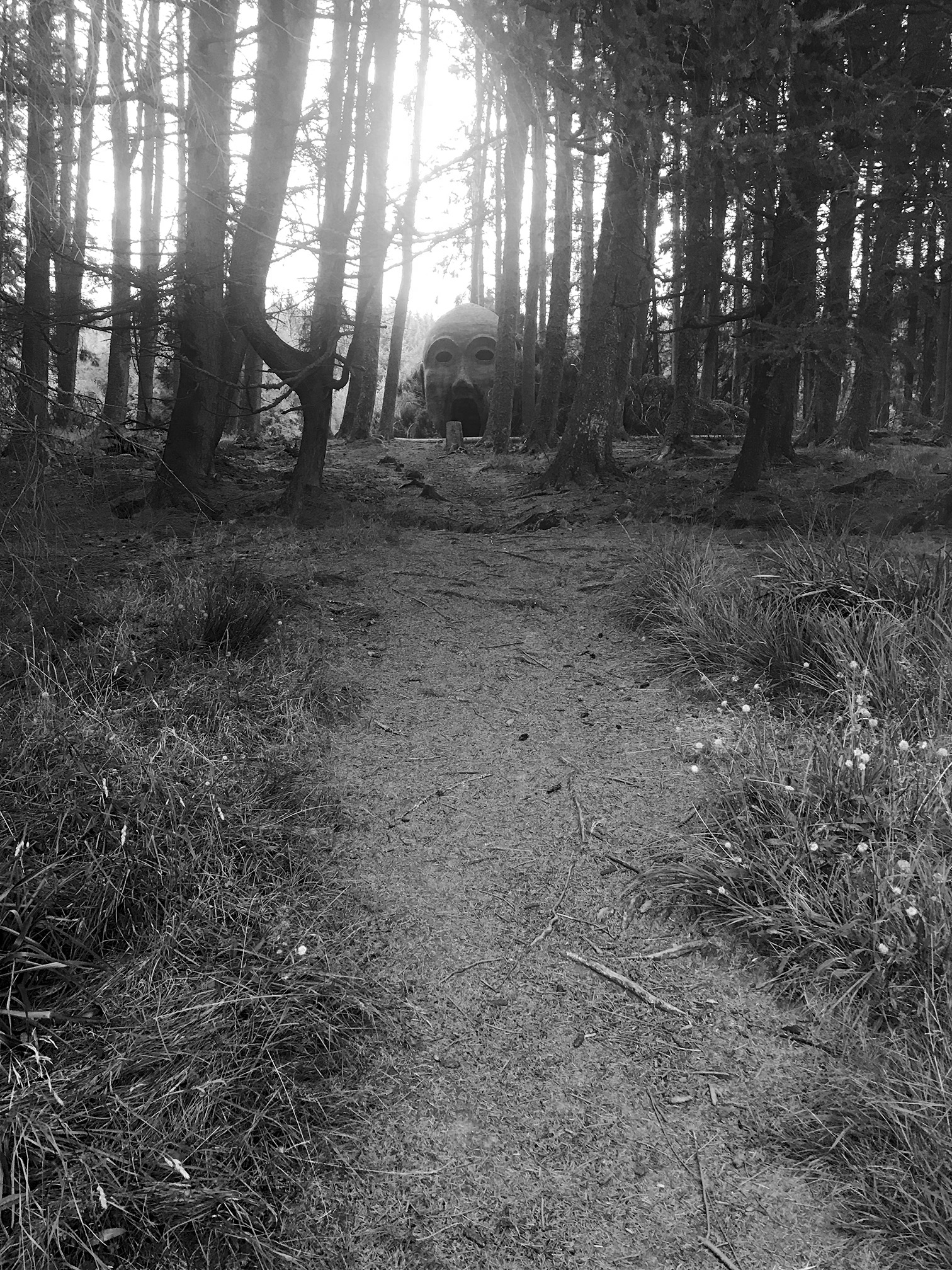
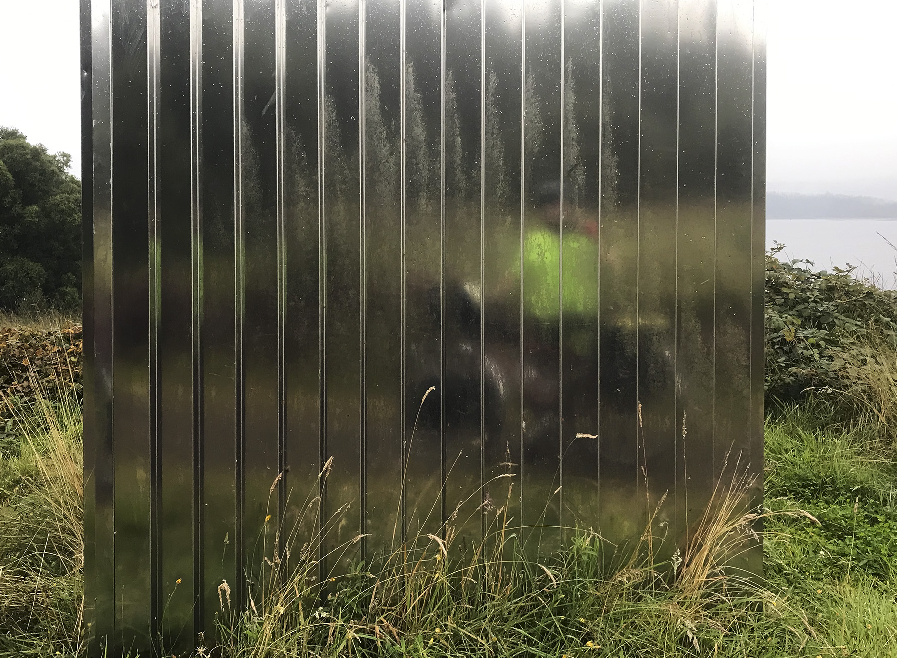
‘The Human Burrow’
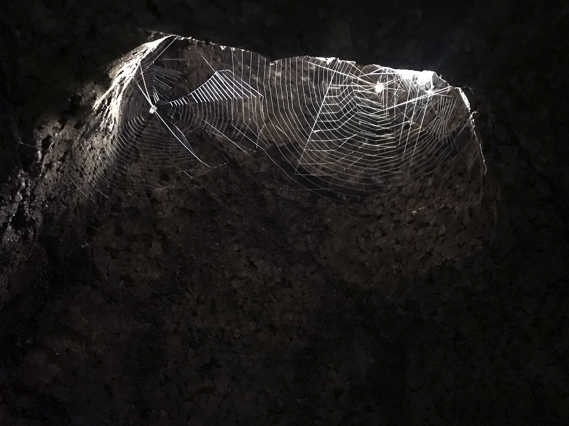
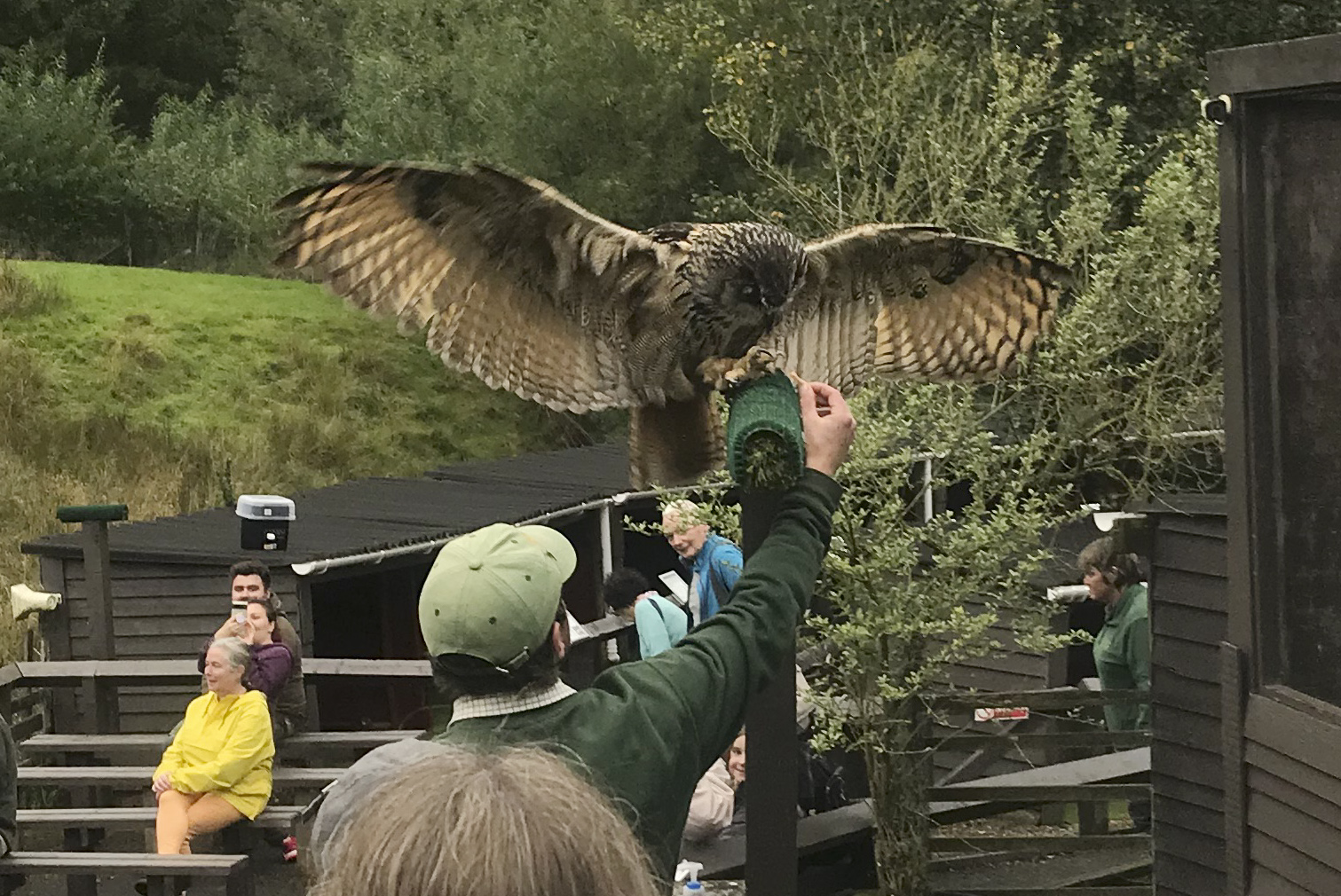
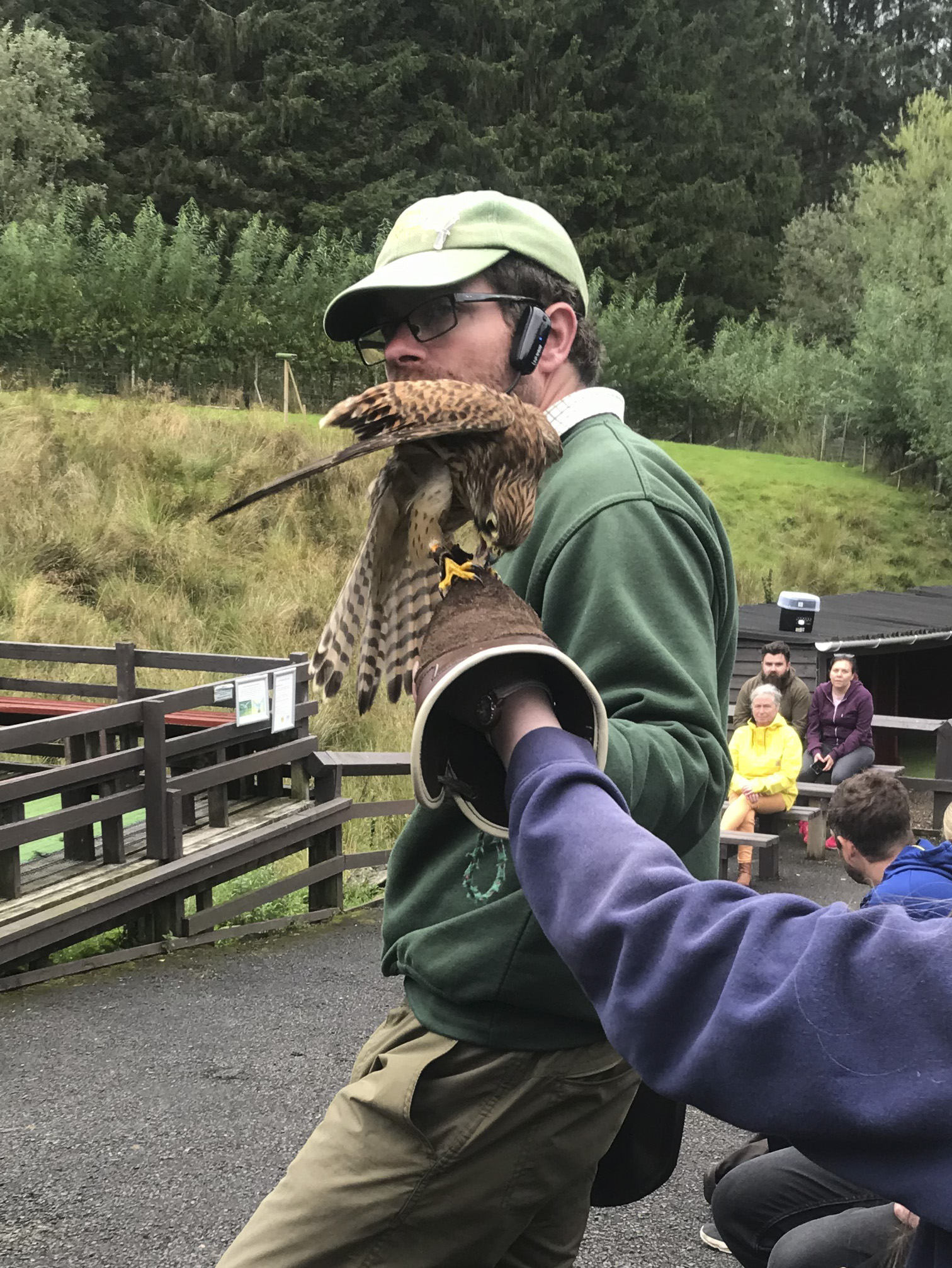
Kielder Water Birds of Prey Centre
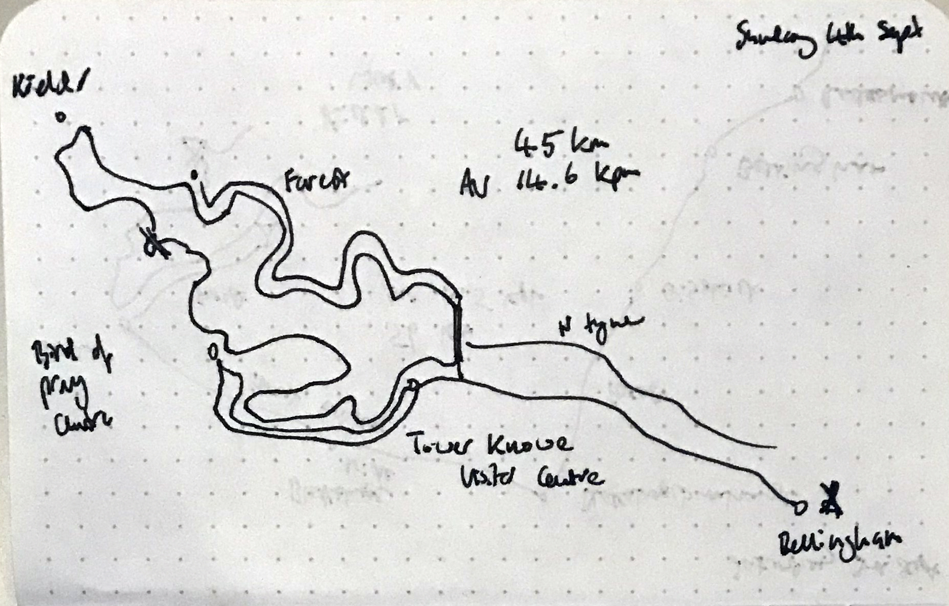
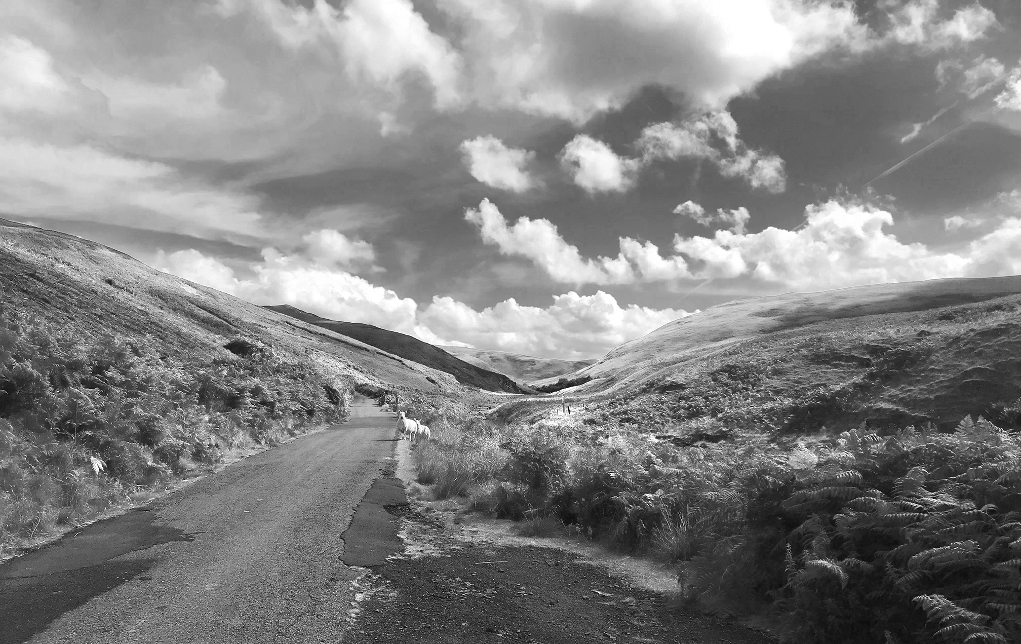
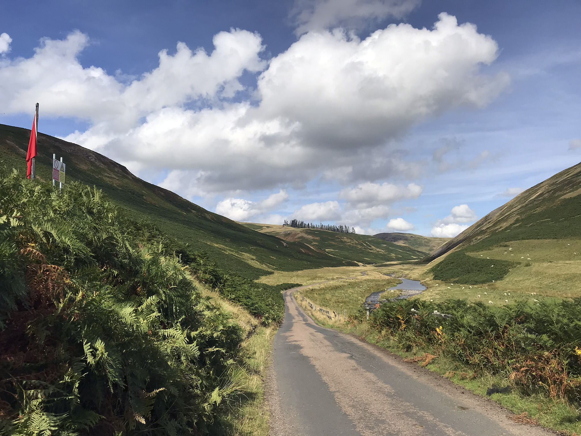
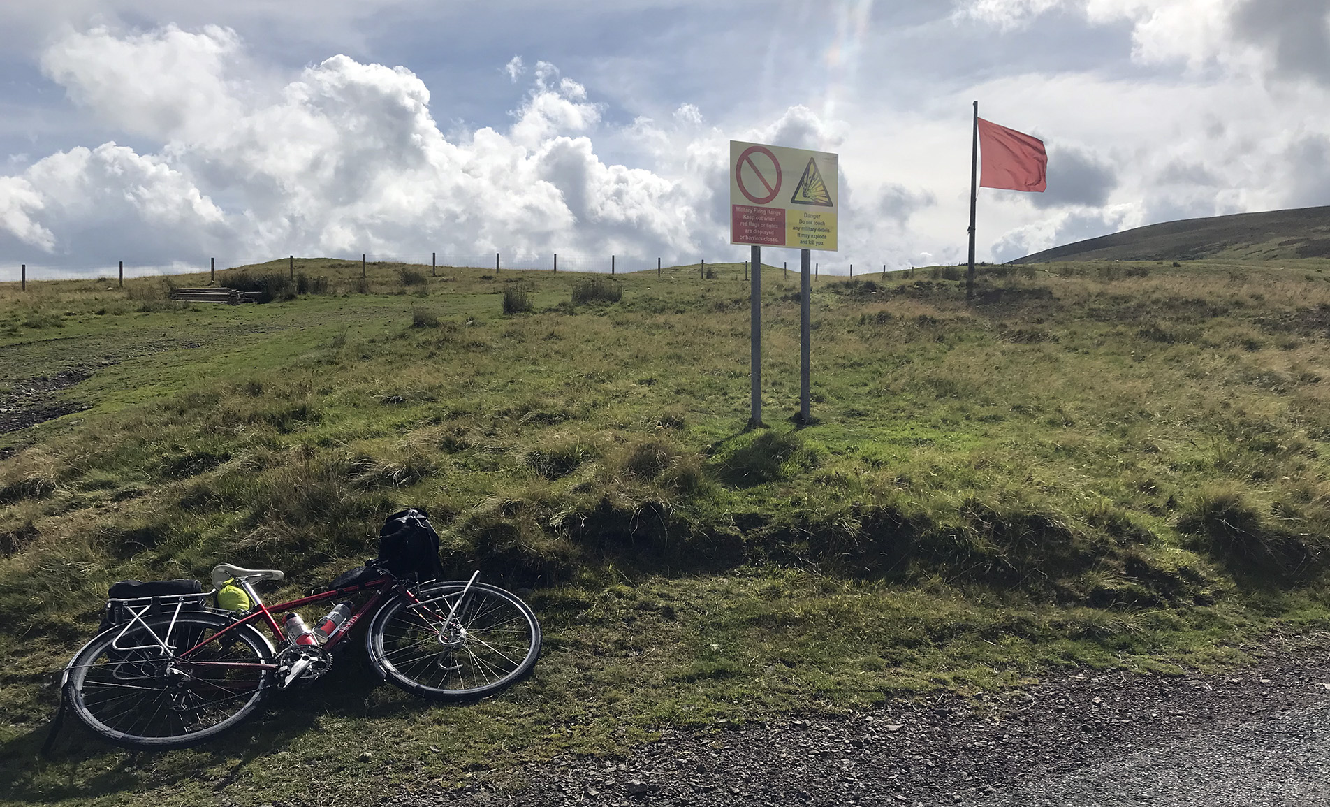
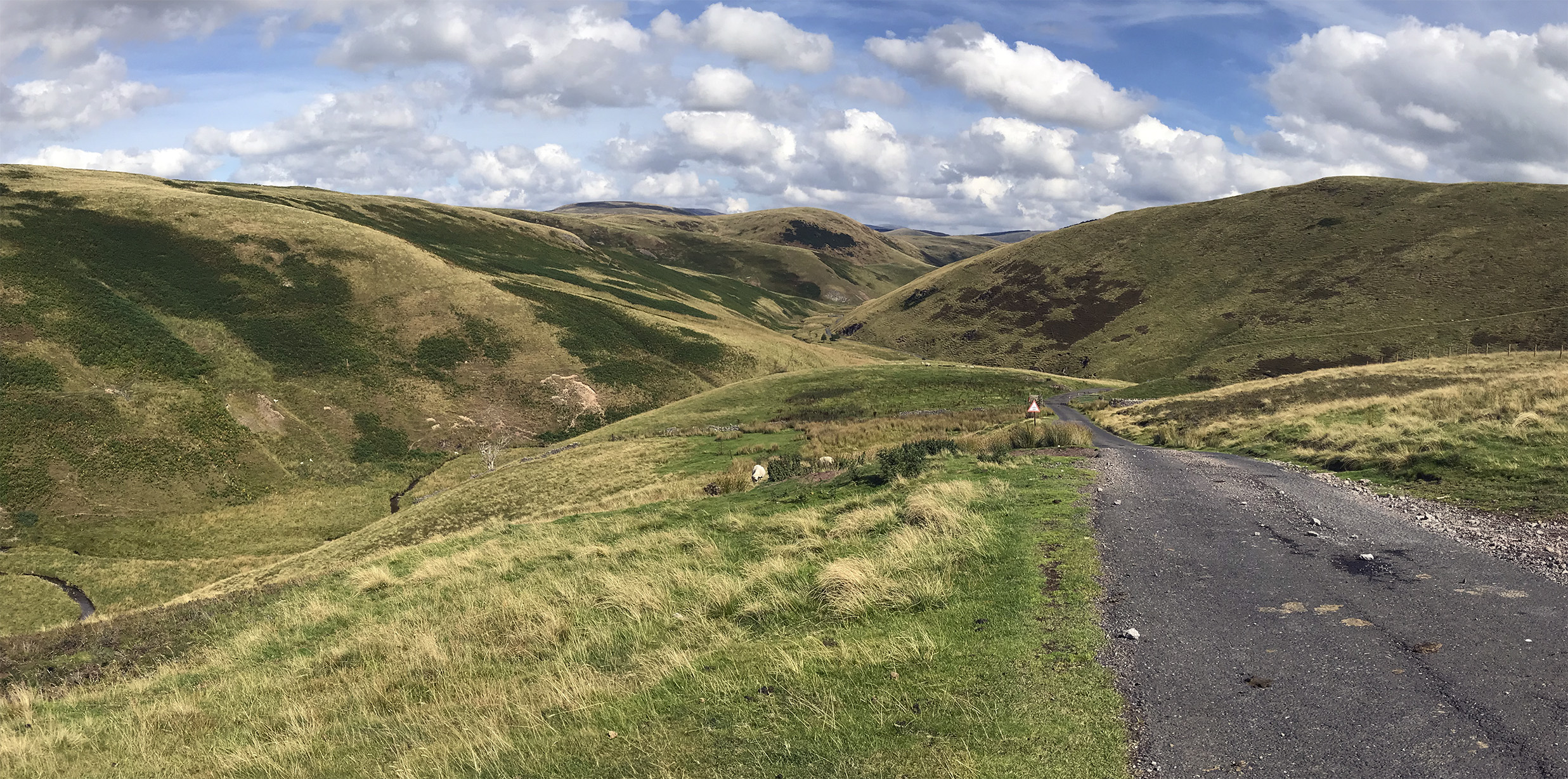
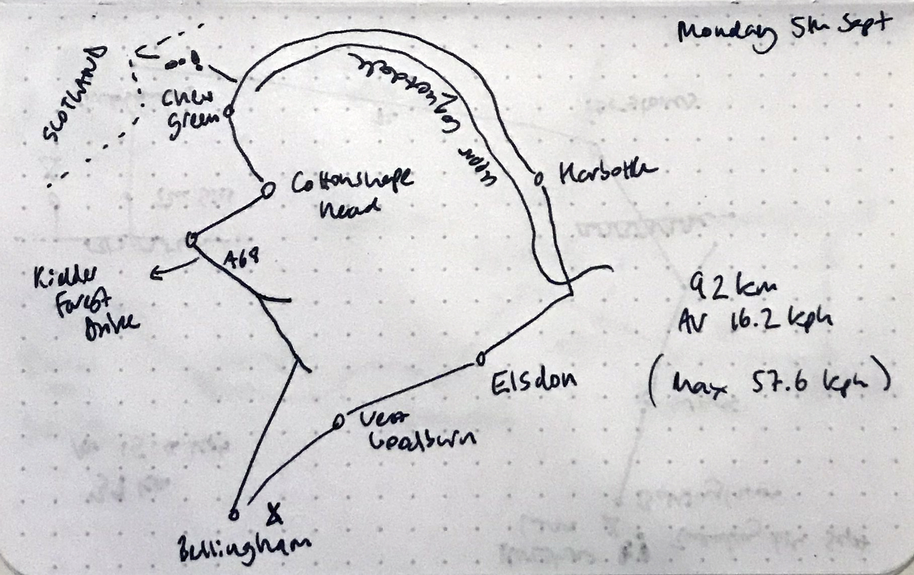
05/09/22 Upper Coquetdale and the Otterburn range
The best day’s cycling (bonus: unloaded)
Looking into Scotland
The Border, from the north side
Chew Green
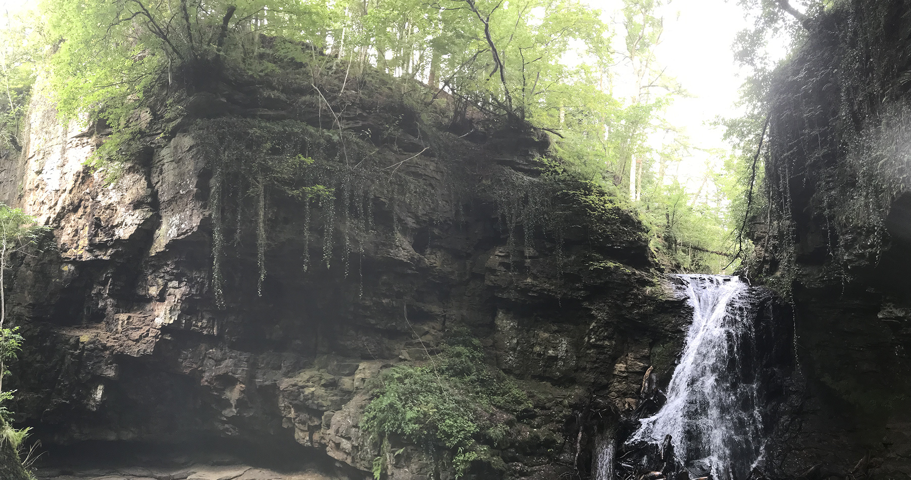
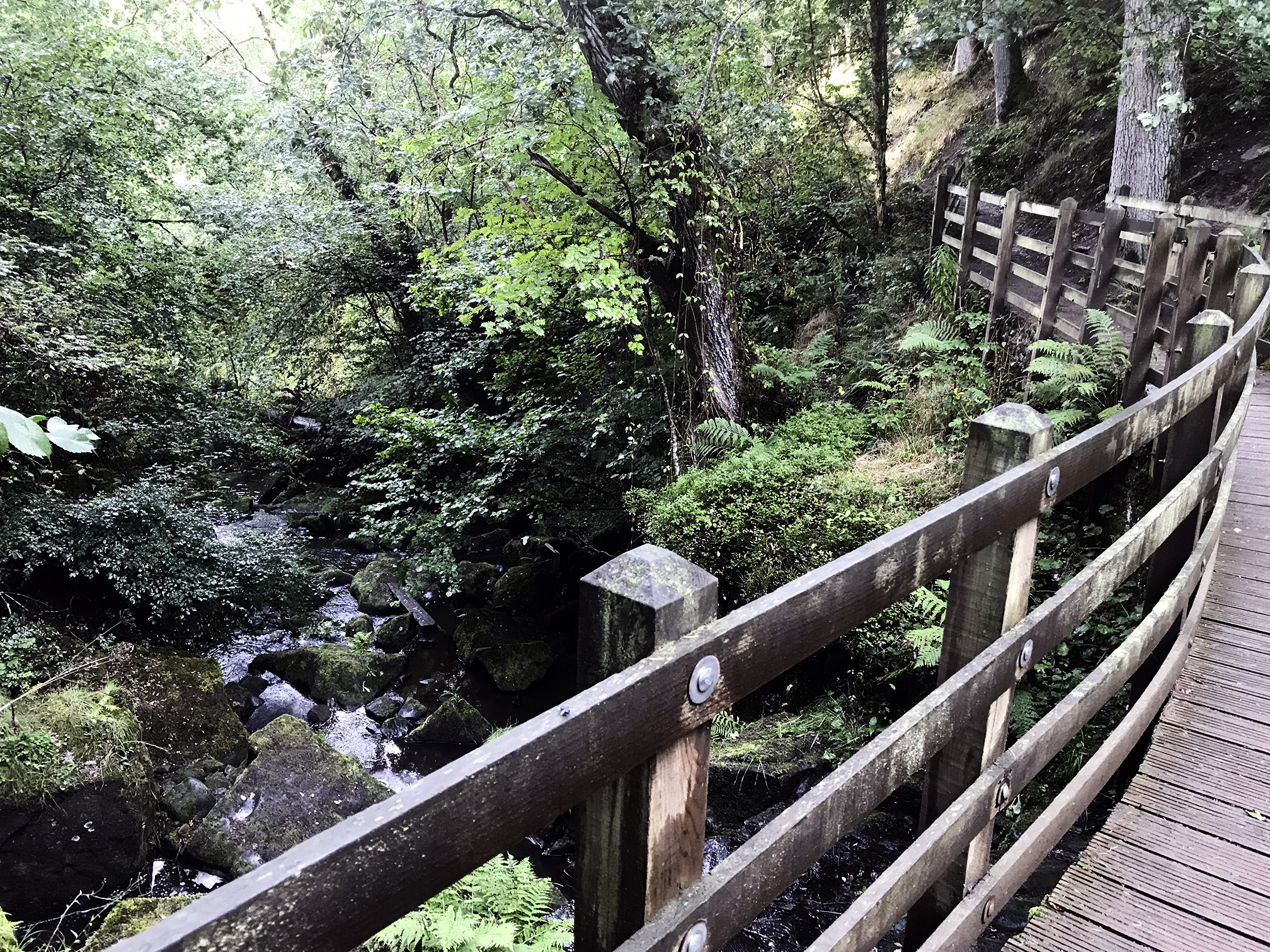
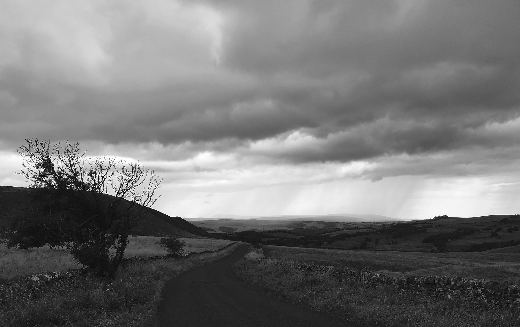
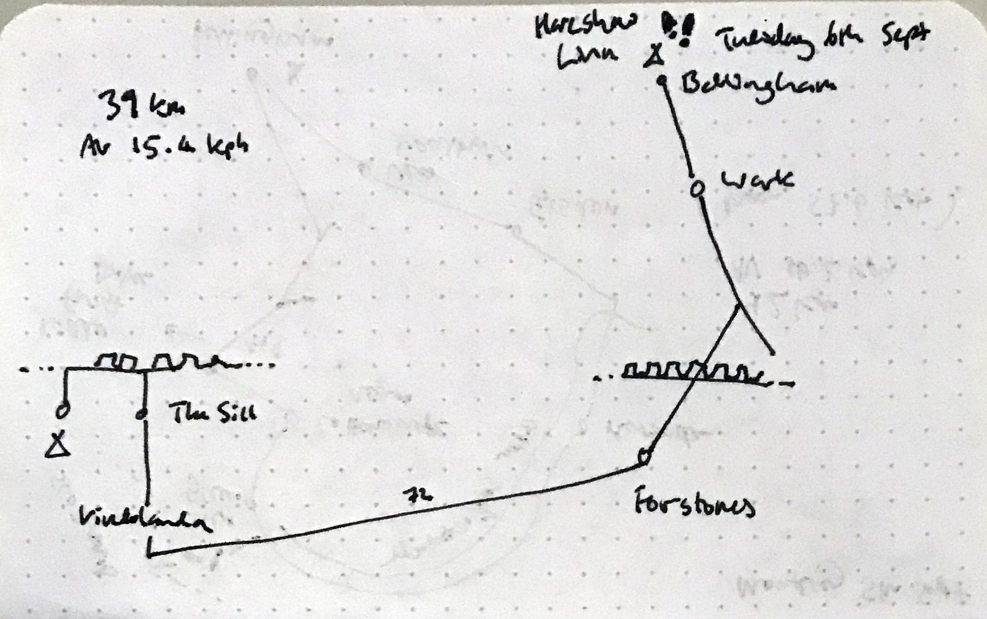
06/09/22 Bellingham – Once Brewed
Hareshaw Linn
The Sill visitor centre
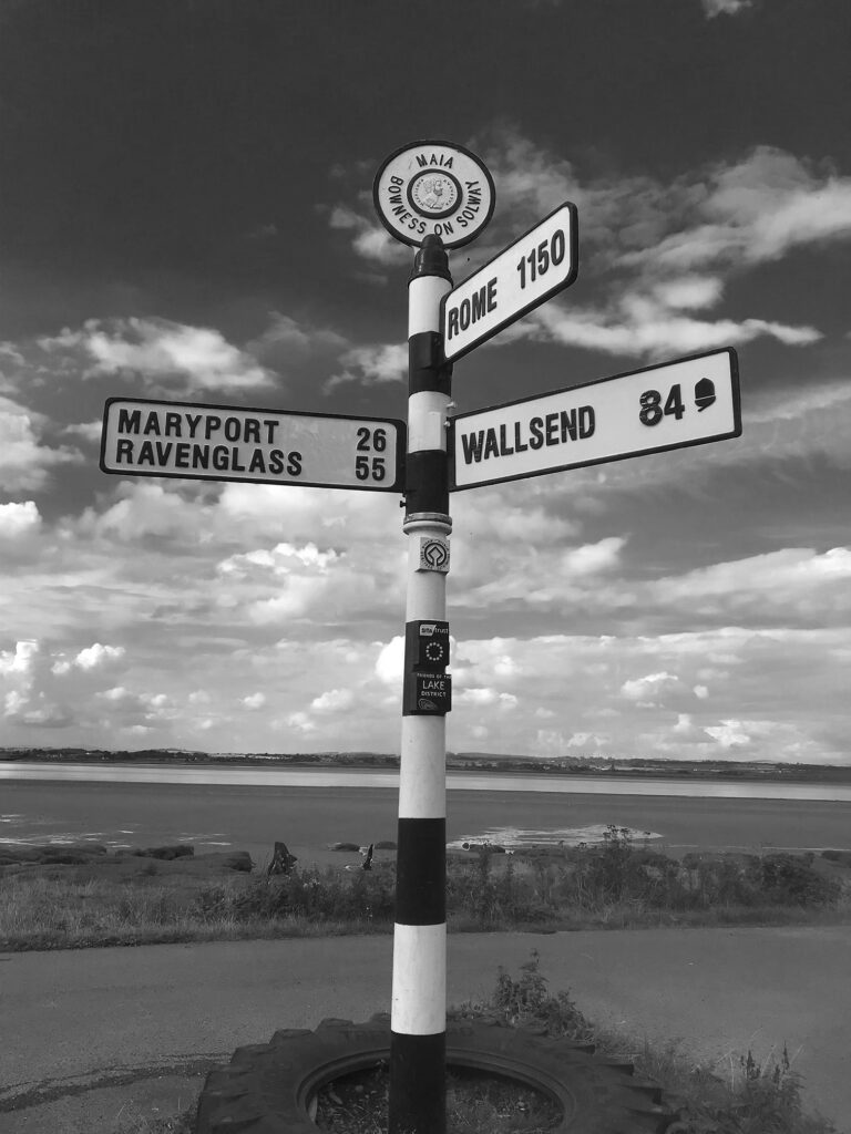
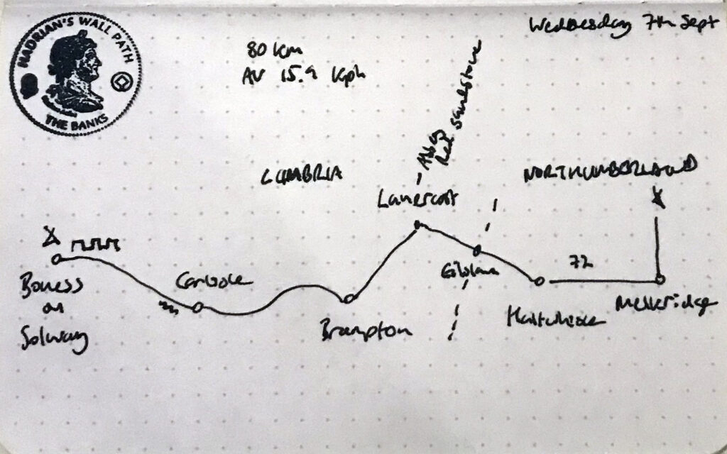
07/09/22 Once Brewed – Bowness-on-Solway
Birdoswald
Lanercost Bridge (River Irthing)
Bad omen? (Brampton)
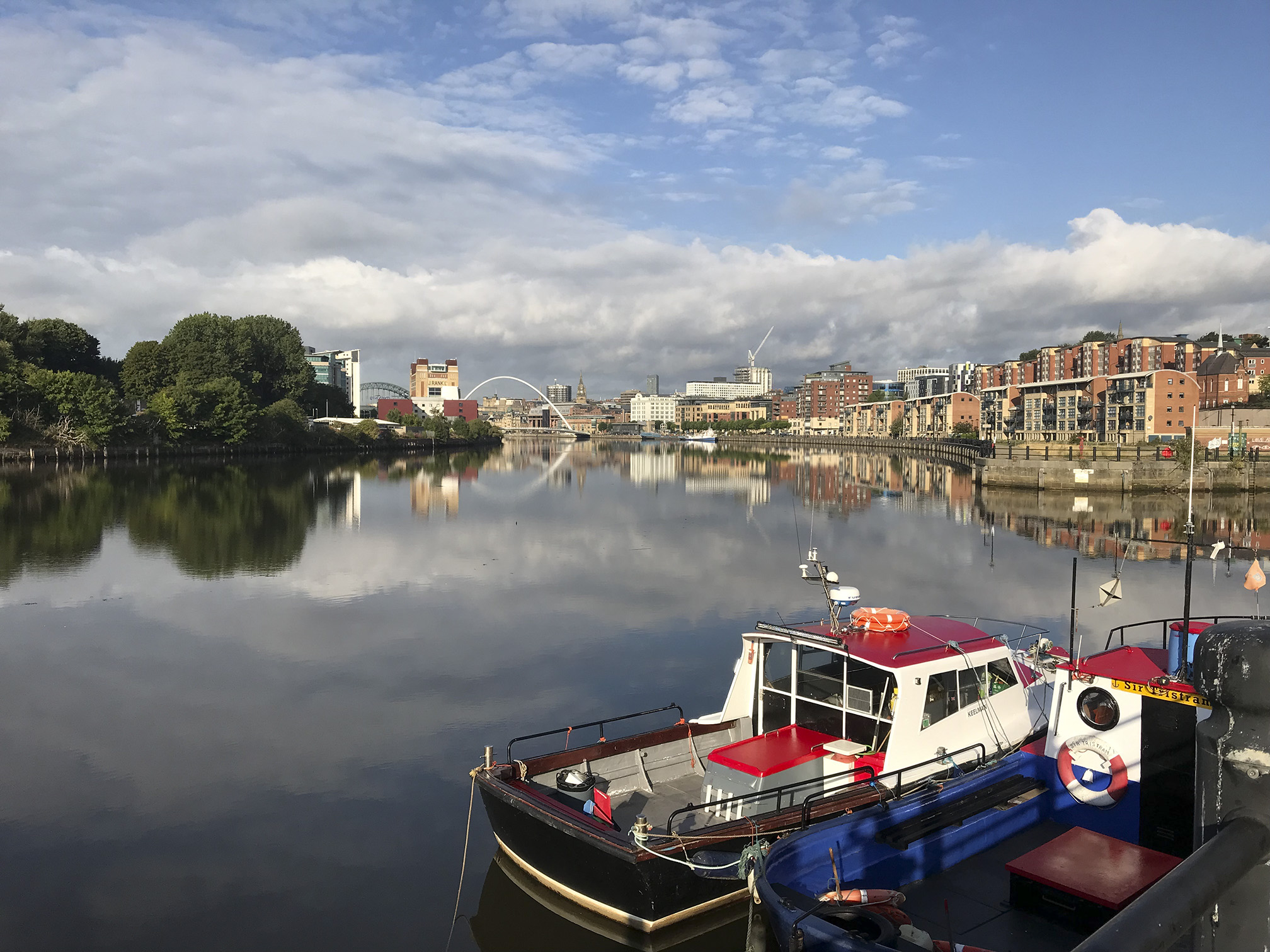
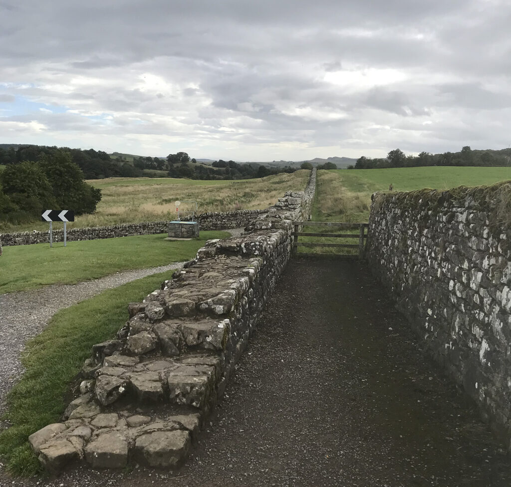
This is part of the National Cycle Network
Solway Firth
Solo camper here, spent a lot of time in the facilities shed in the rain
08/09/22 Bowness-on-Solway – Carlisle
A short return via the amazing second hand bookshop in Carlisle, where I surprised myself with how much room I could find in my panniers.
If I wasn’t going to ride I could at least help those who were. A hot, dry LEL, with additional climbing just north of this control because of a Yad Moss road closure. I didn’t do the entire stint which helped as I was able to pull an all-nighter on the last night, being slightly less knackered than some of the other volunteers. A great time with team Davis and Co.
I arrived at peak time
Camped so I had my own space
I think this one belonged to the person I helped sort out with a train back to London after he was ill and slept at Barnie for quite a while
Film crew following a Bollywood star who was riding
More successful than my last attempt at this one, but I was really struggling and done in by the time I got back to Mytholmroyd for the sleep stop, with no time for sleep, so decided to pack there. Had a bit of a snooze before I left but people deflating and rolling up air beds around me wasnt entirely conducive. Still feeling rough the next day I did a lateral flow test, which explained a lot (I’d had a negative one before the ride).
Continuing my form from the attempted 200 km I didn’t quite finish this one, but more as a result of being in a strop than being done in. I will not be riding this again, nor I hate to say anything else by the organiser.
I know that the majority of people use a GPS unit for navigation, but not all of us do neither is it a requirement. It *is* however a requirement that the org provides a route sheet, and IMHO (and I hope that of AUK) it should be of sufficient quality that a rider can follow the route using it alone. This one was more like a series of comments on the GPX file. It wasn’t only me who was struggling with it; BB (an experienced audaxer) who is another GPS-less rider was also having problems but unlike me doesn’t have a smart phone he can use to check a map, so was resorting to knocking on people’s doors to find out where he was.
In addition to this (again this was commented on by others) the info control instructions were not very helpful, e.g. ‘bus stop before bridge’, so you had to get to the bridge and retrace in order to find the right one.
Eventually I realised I had missed a turn to another info control and decided I wasn’t going back to find it, so I texted the org to let them know I would be a DNF, and made my way back to the car I had hired* by the most sensible route. In the last few km in the dark I heard, but did not see, another cyclist singing as they road along in the night.
*Although Northallerton is train-friendly, it isn’t during the hours that are required for a 300 km.