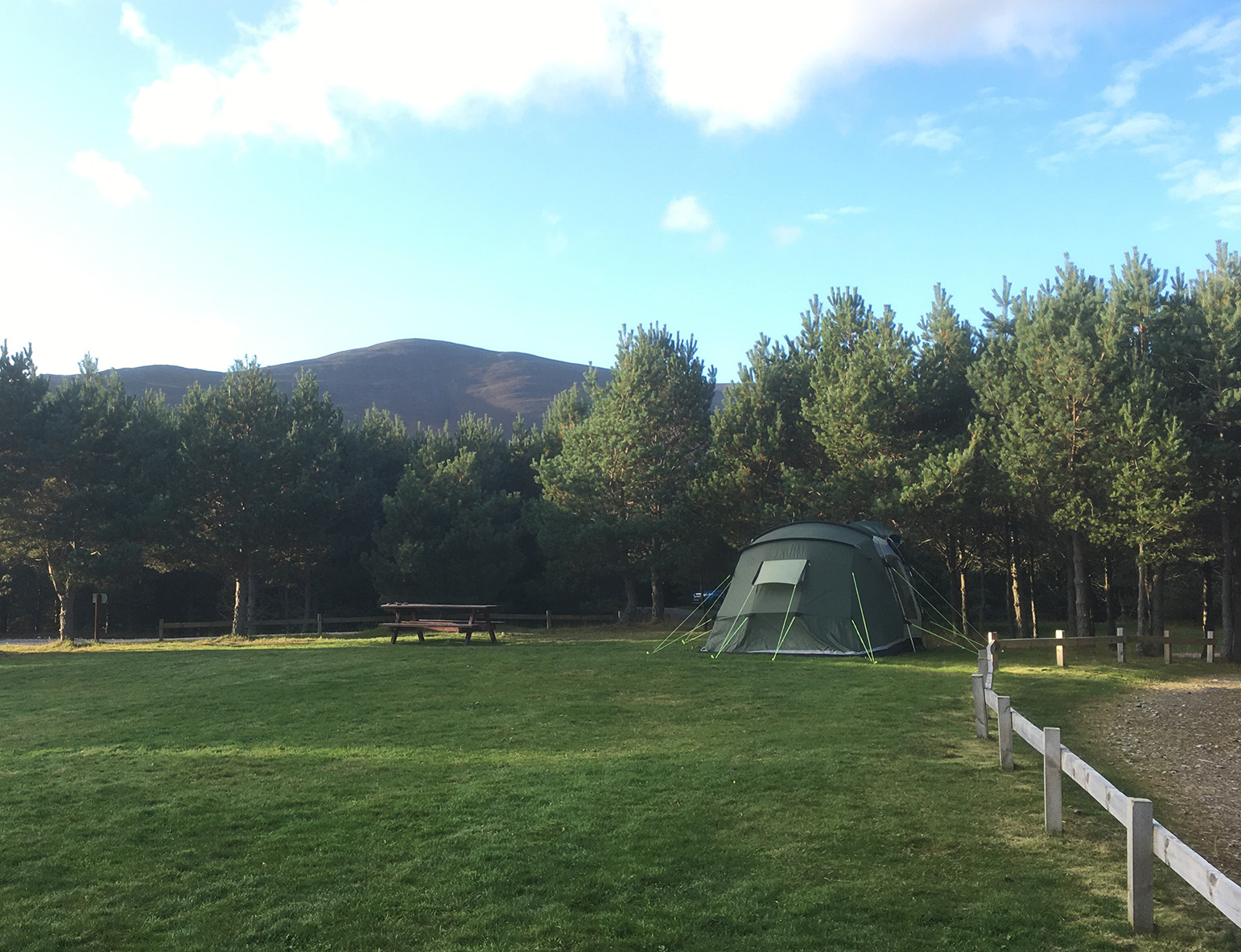
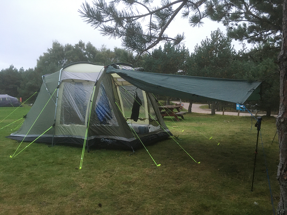
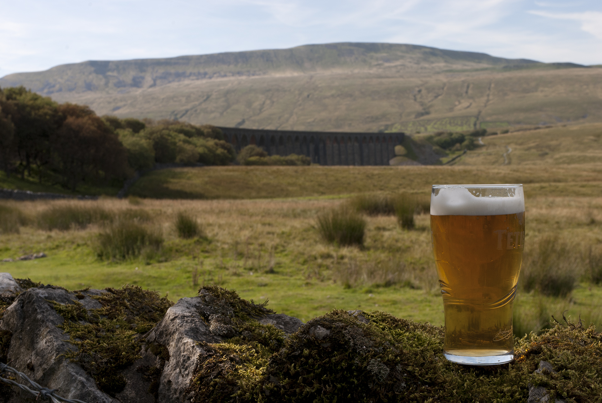
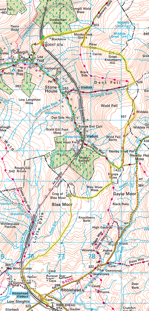
20/09/24 Appleby – Kirkby Thorne
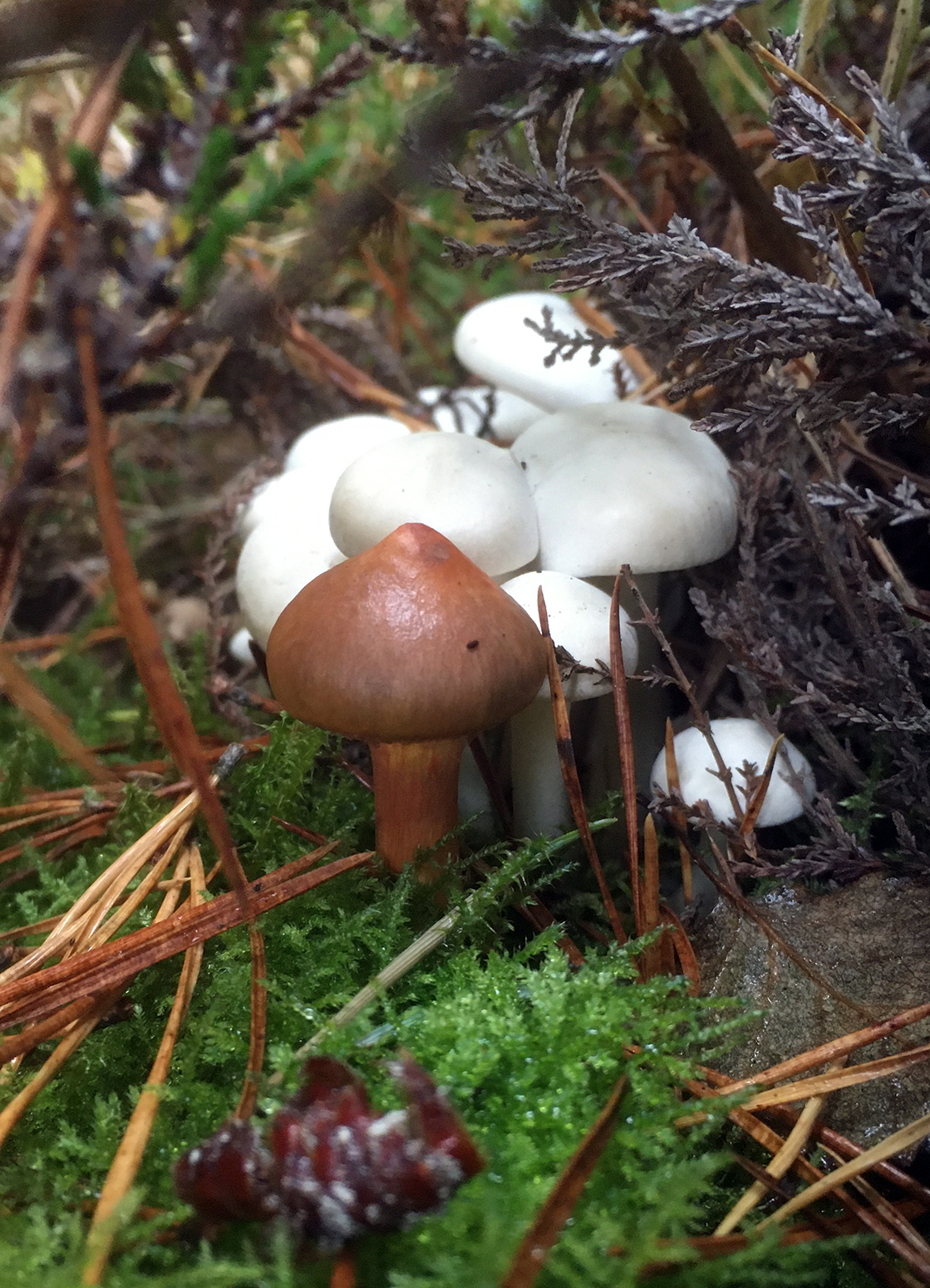
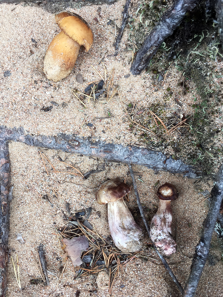
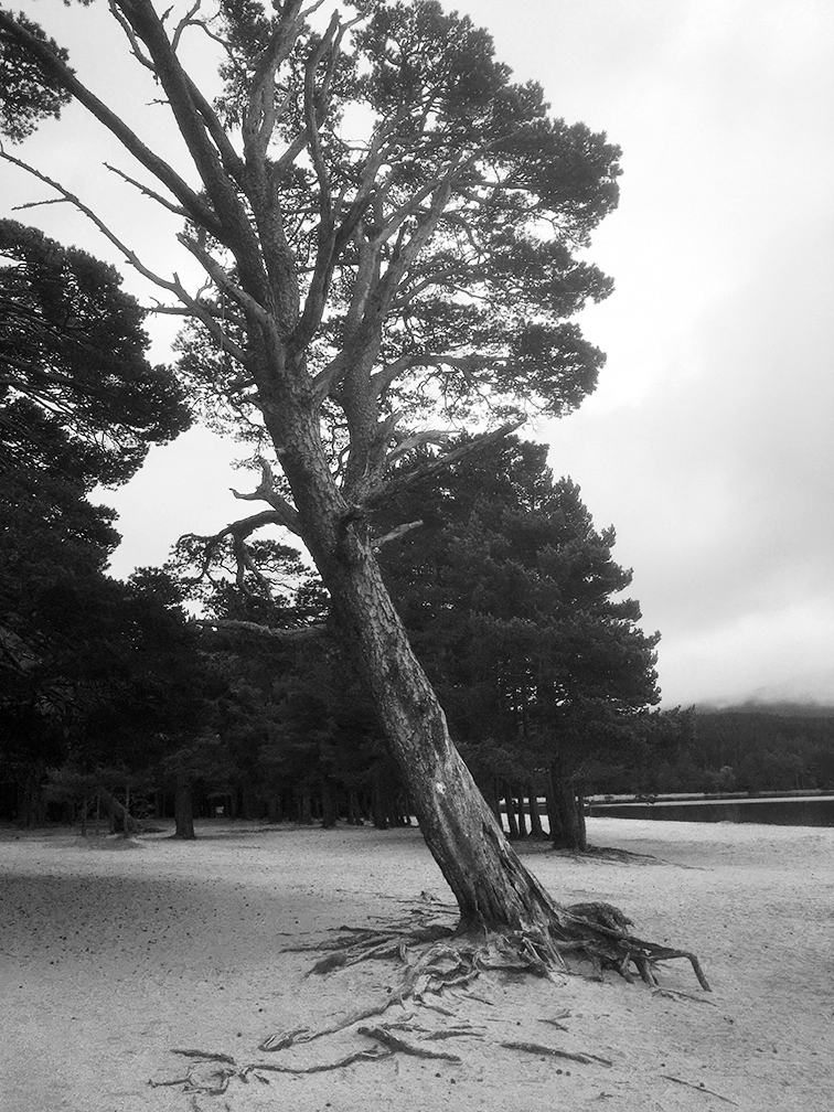
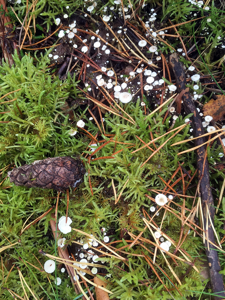
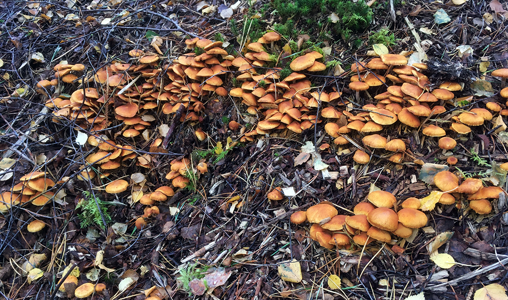
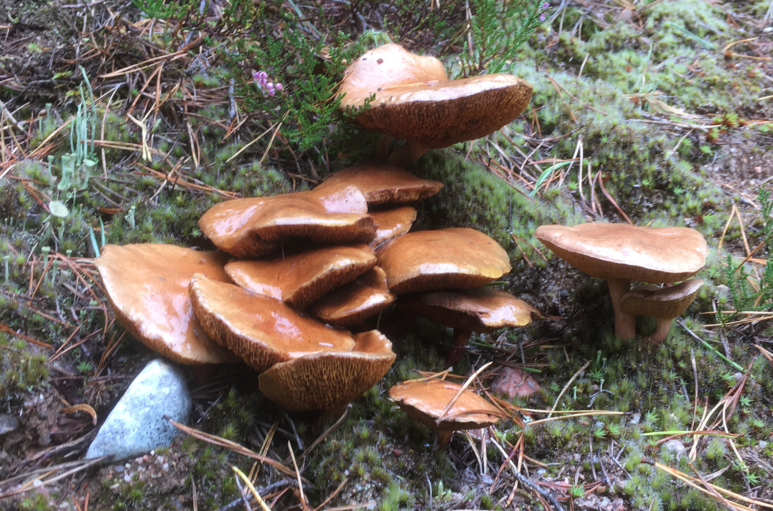
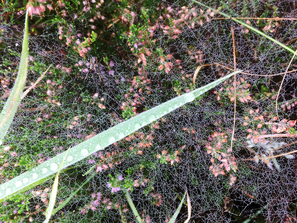
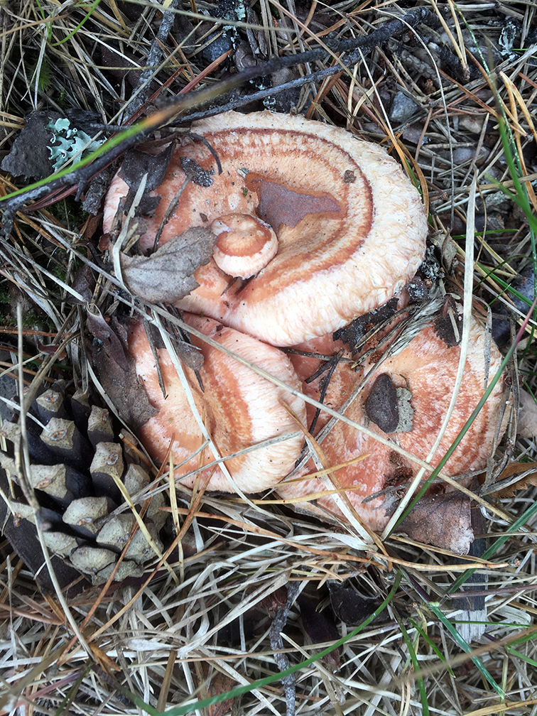
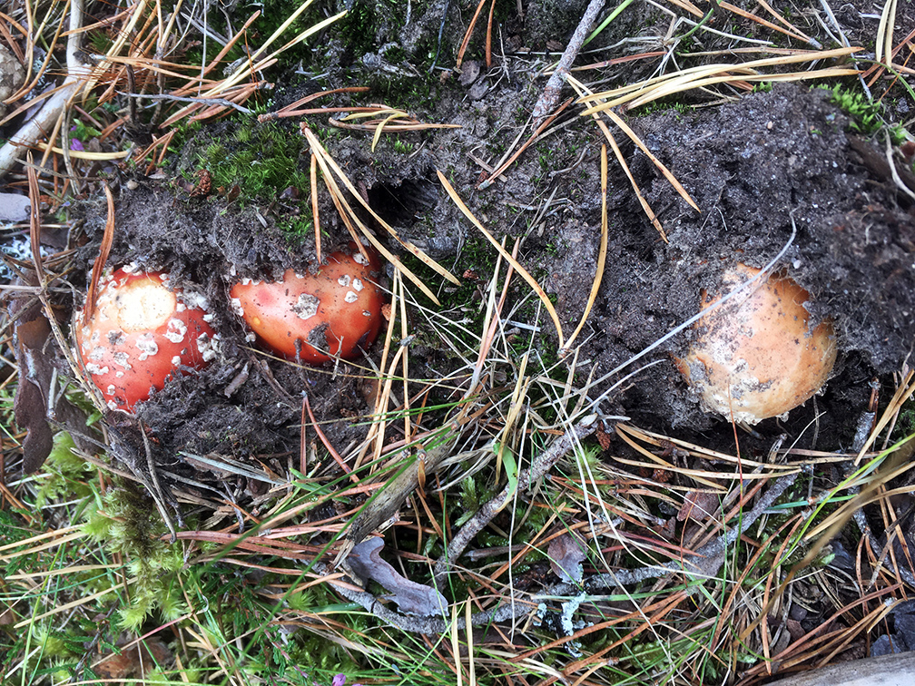
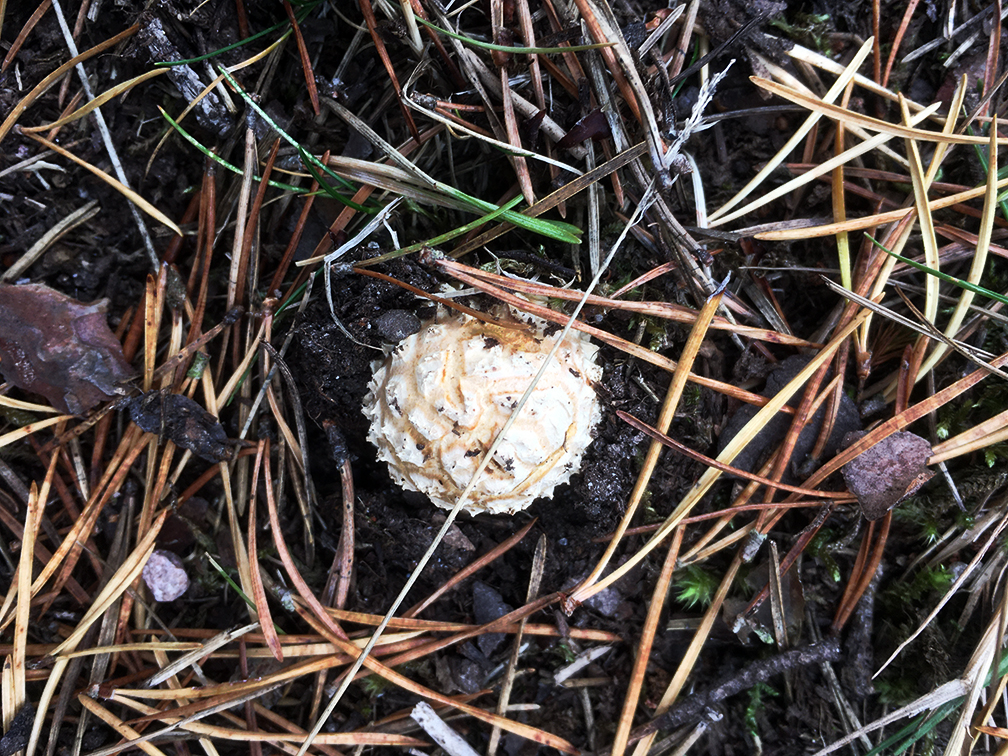
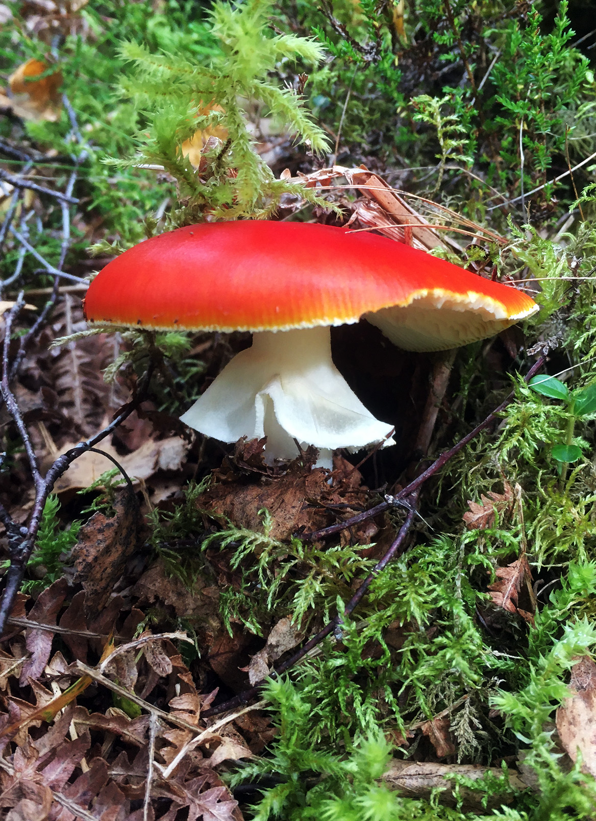
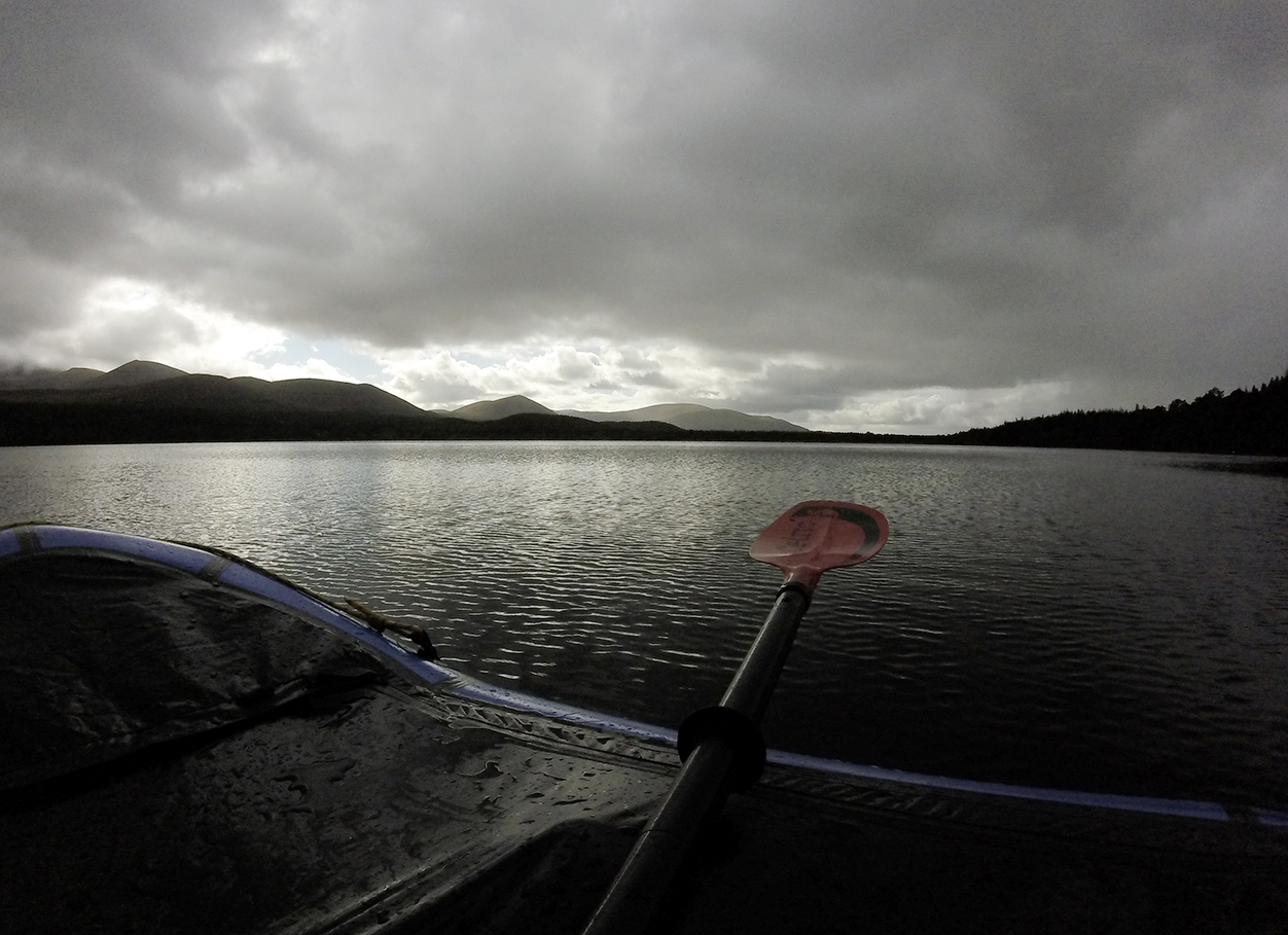
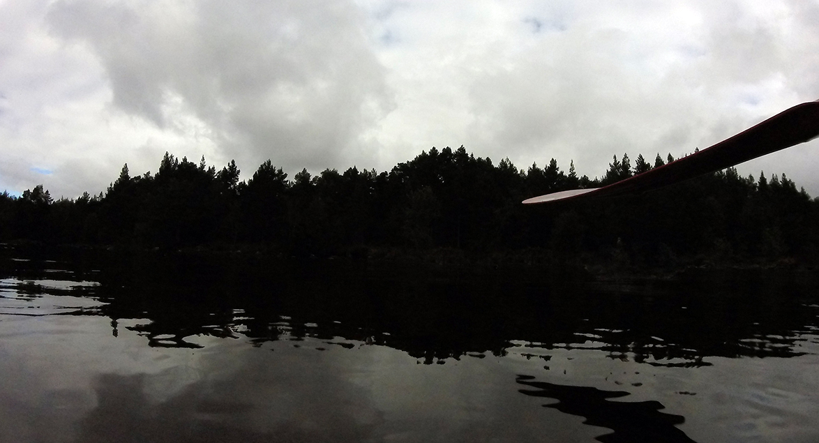
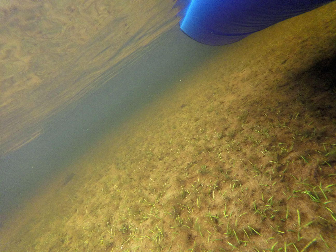
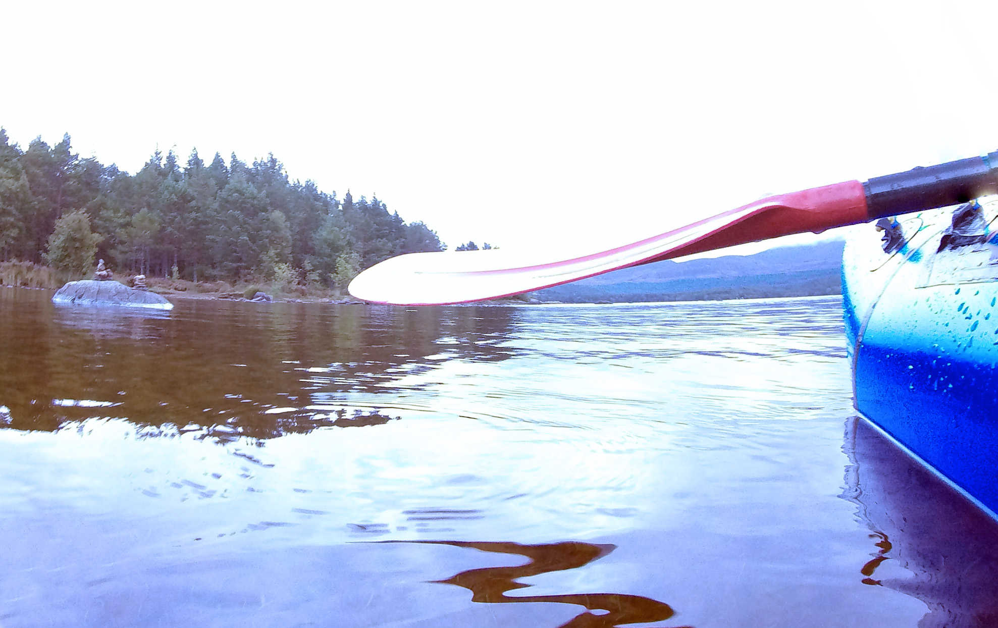
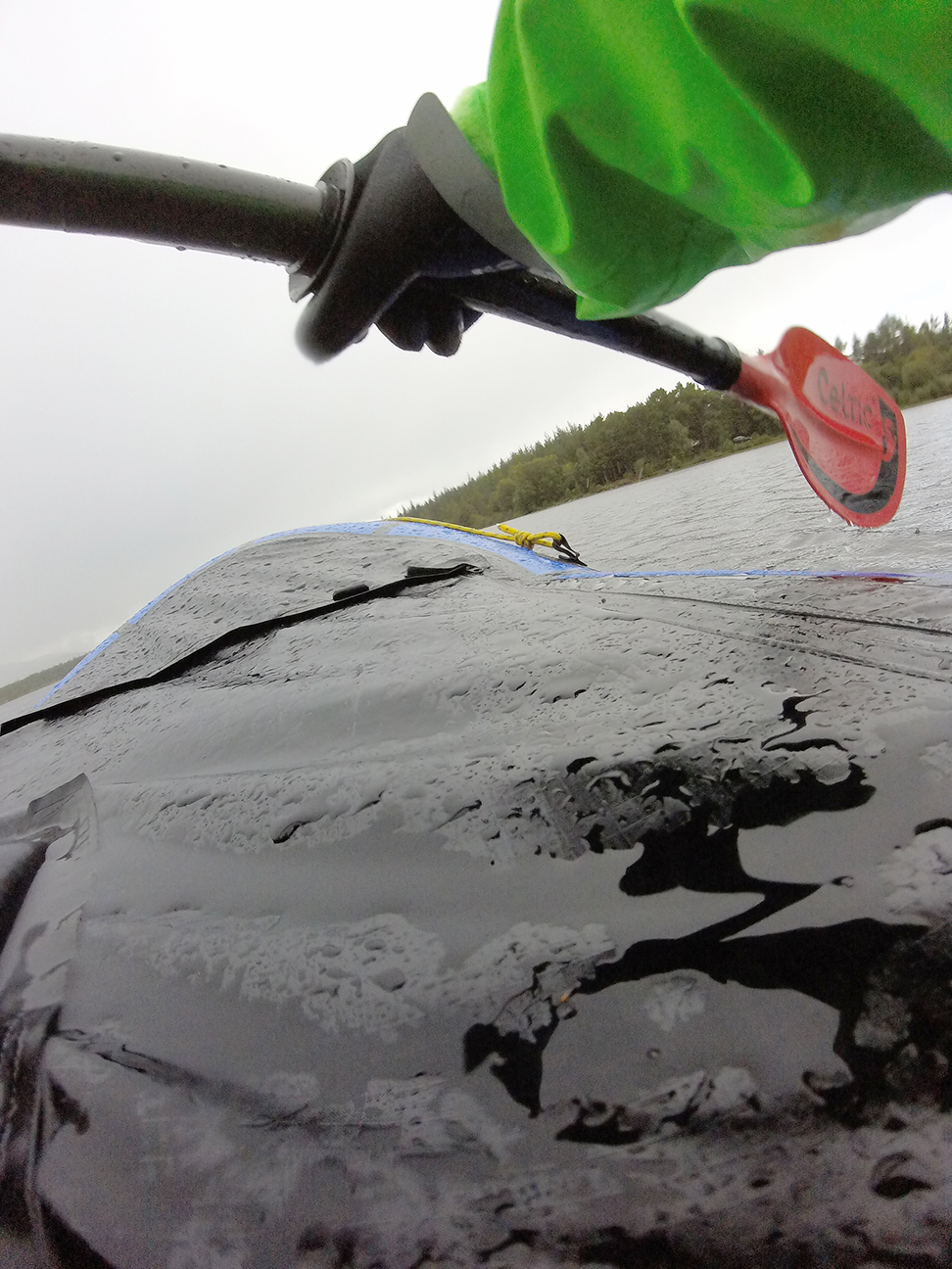
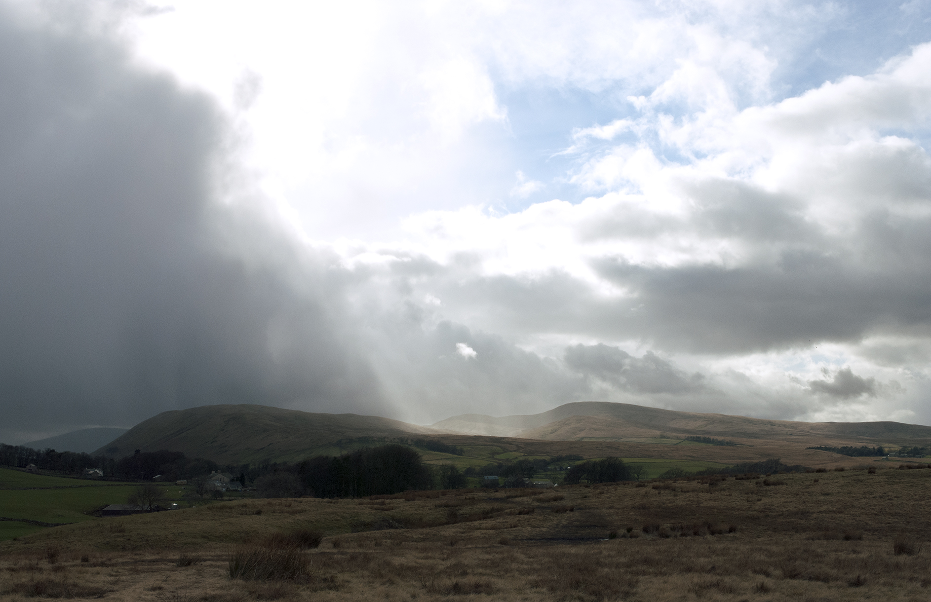
A fine forecast so possibly the last packrafting day of the year for this fair-weather paddler. Low water levels so quite a few rock gardens to get stuck in and/or walk through. Very quiet with no sign of anyone else. Lots of yellow wagtails, several kingfishers, a dipper, a noisy buzzard, and even a bat skimming the river for flies in the middle of the day.


A stepping stone crossing at Colby Laithes was quite a challenge to get over (not sure I’d like to walk the crossing either) and could be a hazard in high water.


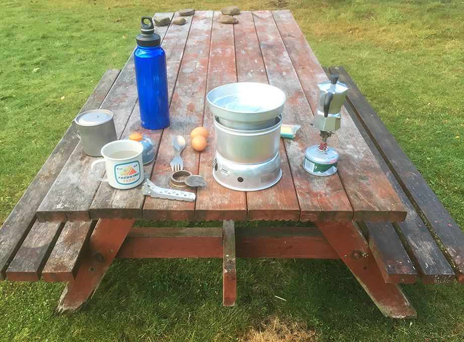
Progress was slower than I had hoped, after starting off from Appleby around 12 pm I finally reached Bolton Bridge at 2.30 pm and had a long overdue lunch on a patch of stones under the bridge.

On reaching a bridleway ford near Kirkby Thorne I thought I had better get out and walk back to Appleby rather than press on for Langwathby which was still some distance off. I don’t yet have much of a feel for speed on the packraft (well, maybe I have a better idea now). A tractor crossed the ford but then it was deserted again and I was able to get changed without causing any passers-by offence.
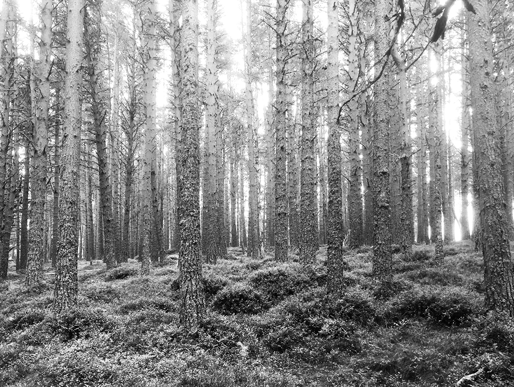
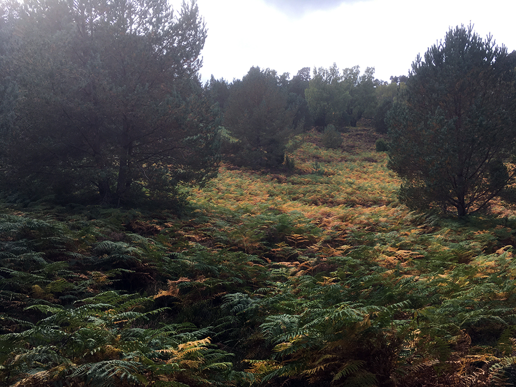
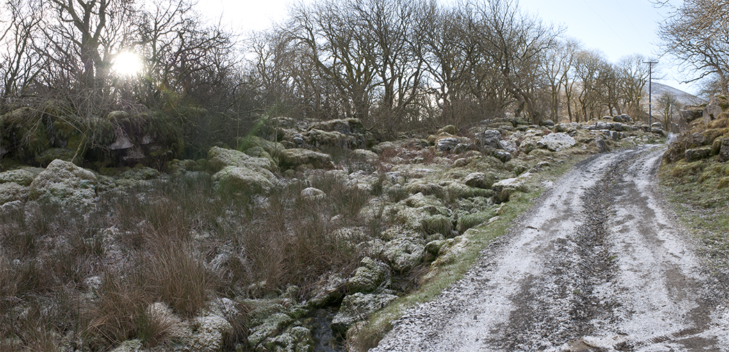
There is a straight bridleway along an old Roman road to Appleby, however to get to it avoiding the A66 involved a detour via Long Marton.


I spotted a footpath along a stream which looked nice and would cut off a corner following the road. Alas on crossing a stile I put my foot in a hole and went over on my ankle. My rucksack provided a soft landing, but I could tell I had done some mischief straight away. I struggled over a couple more stiles to the road, and made a walking stick out of half of the packraft paddle, and very slowly limped to where the road met the A6. My ankle had swelled up immediately and was very challenging to walk on. Managed to get a taxi back to Appleby and even made the train I was originally looking at.
A visit to A&E the next day showed it was not broken, but I left with a foam boot and crutches, putting an end to any further adventures for a little while.

10 km paddling, 7 km walk/limp