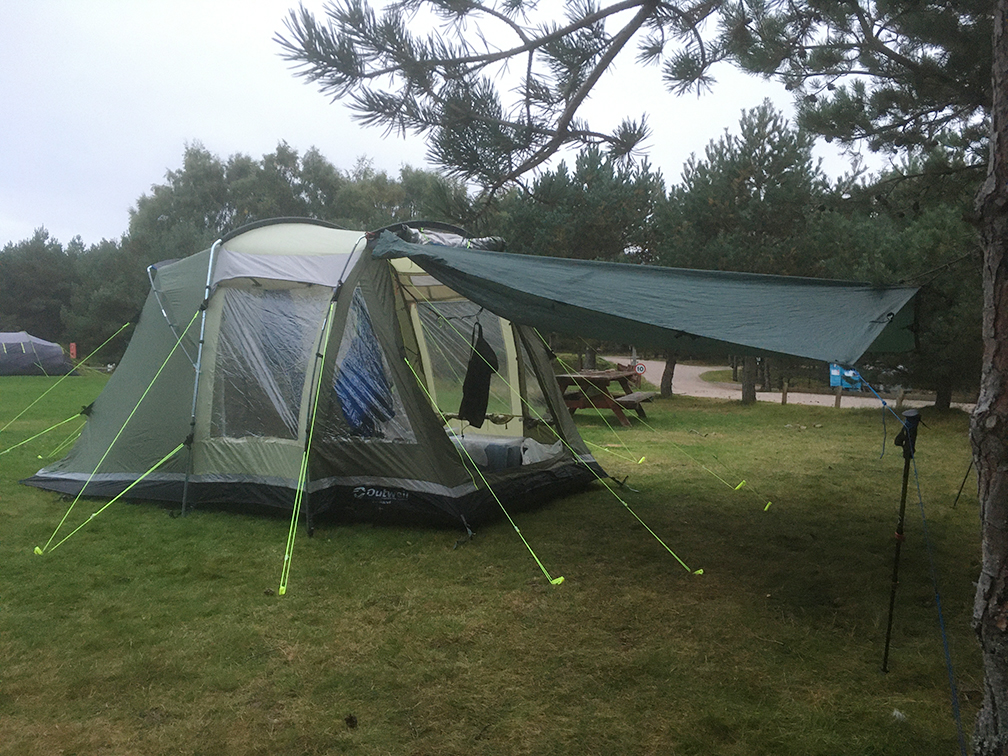
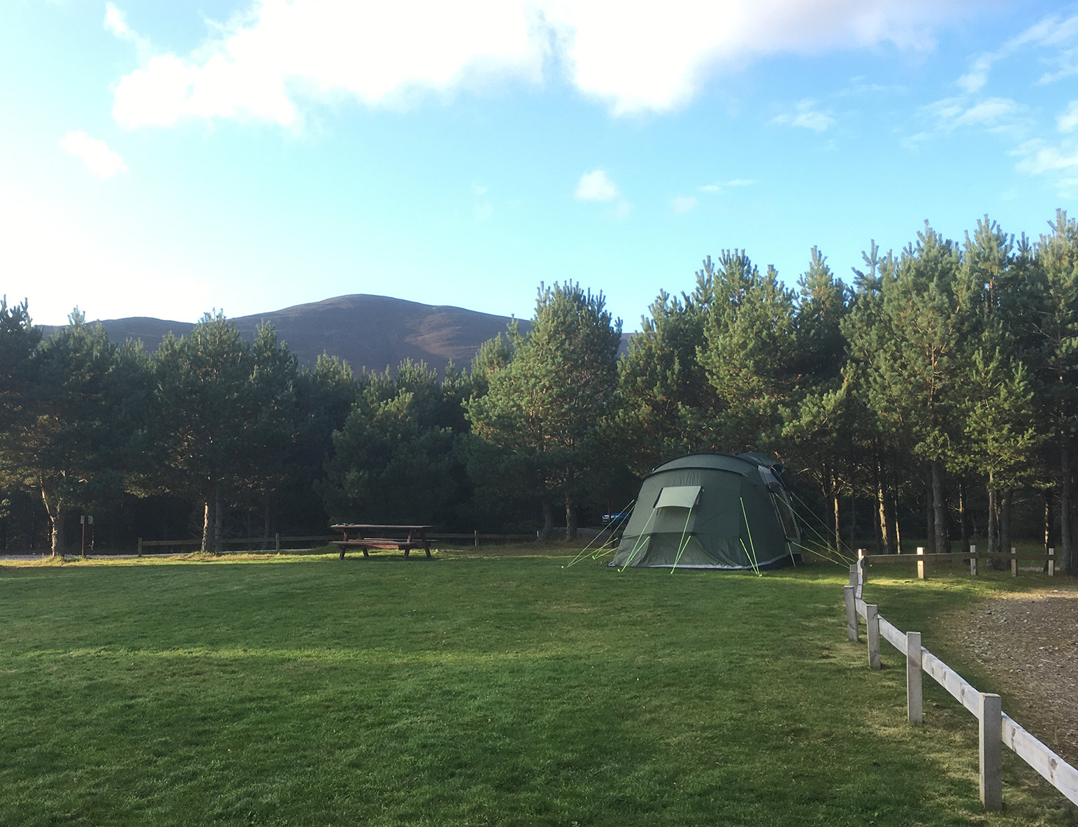
22-26/06/14 – First camping outing in the van.
An overnight trip with bivvy on North Dartmoor to High Willhays.

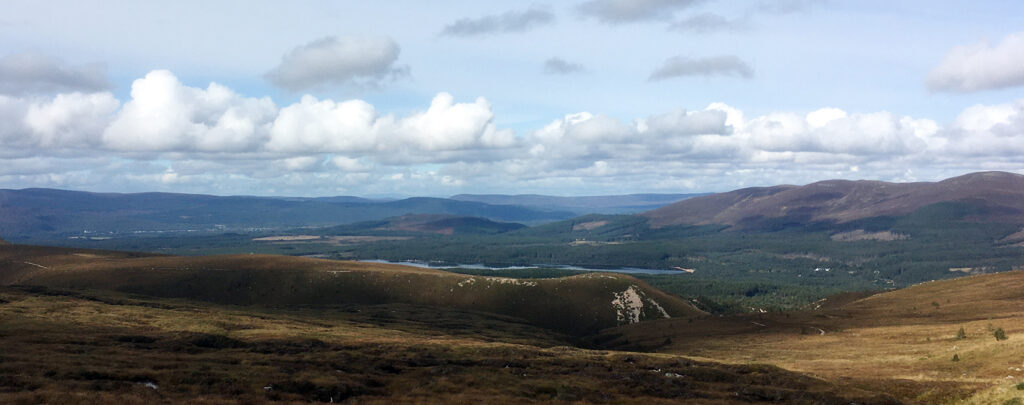
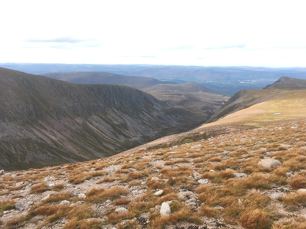
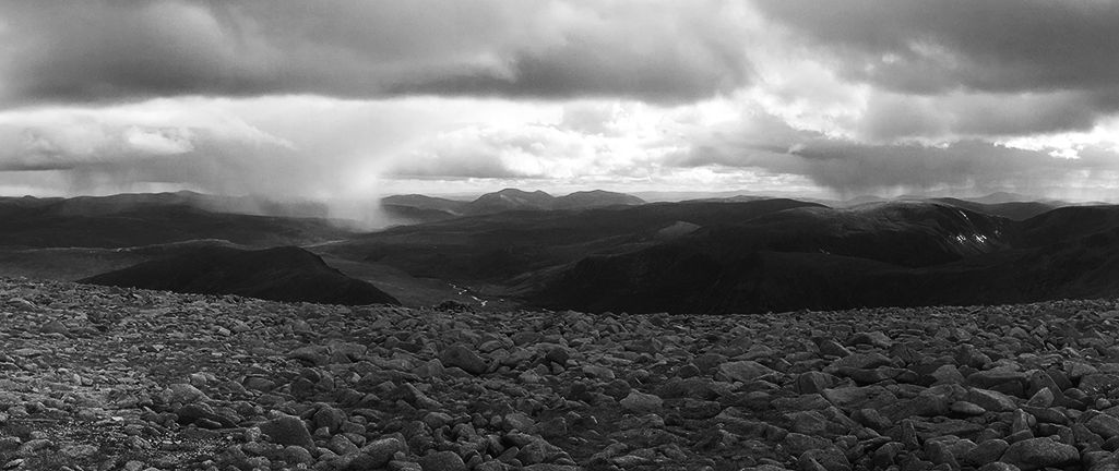
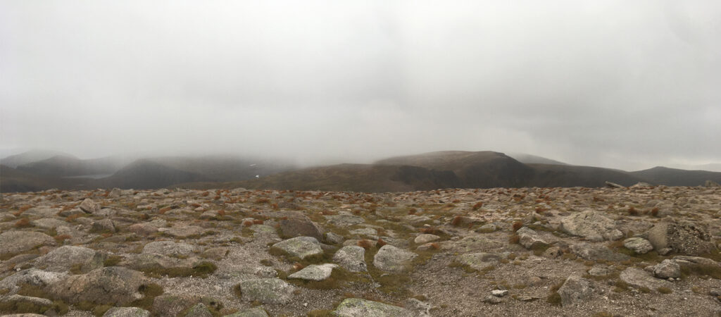
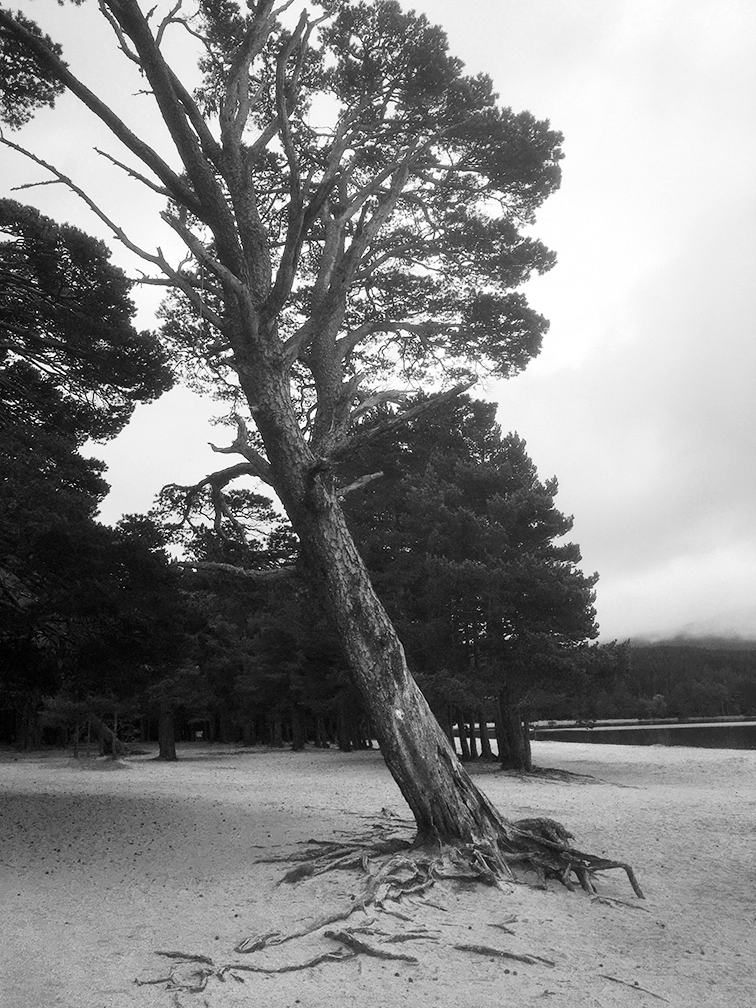
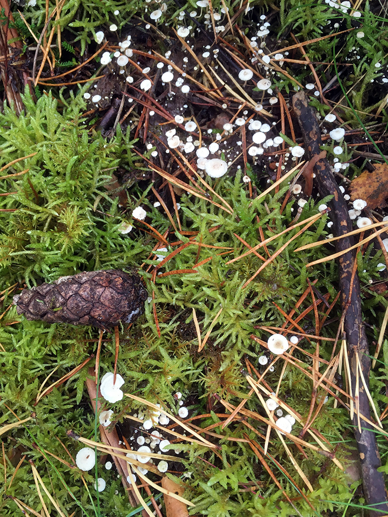
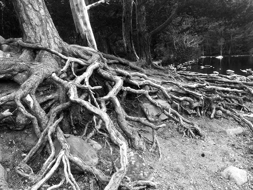
I found a great car park in Belstone, plenty of space and no signs prohibiting overnight parking. Left the van about 6 pm and squashed bivvy bag, sleeping bag and mat into my rucksack, along with a bit of food, water, a can of Hobgoblin and a hip flask, and headed out of the village on a bit of the Tarka Trail. Followed tracks (farm, or MOD, or both) around East Okement Farm (which took me across ‘Irishman’s Wall’, could still see the remains of it) through New Bridge and up to Yes Tor. Amaing views, the sun was lowish and sending rays through the clouds. I could see as far as the north Devon coast.


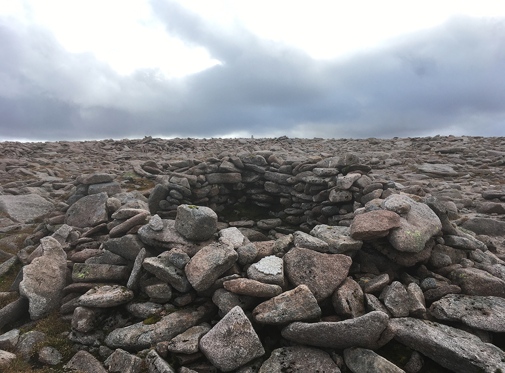
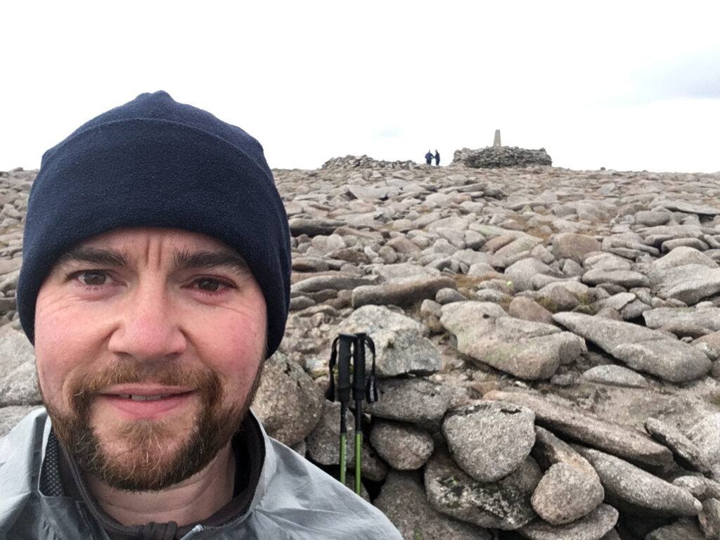
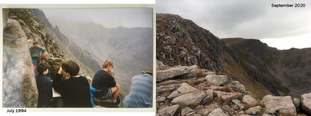
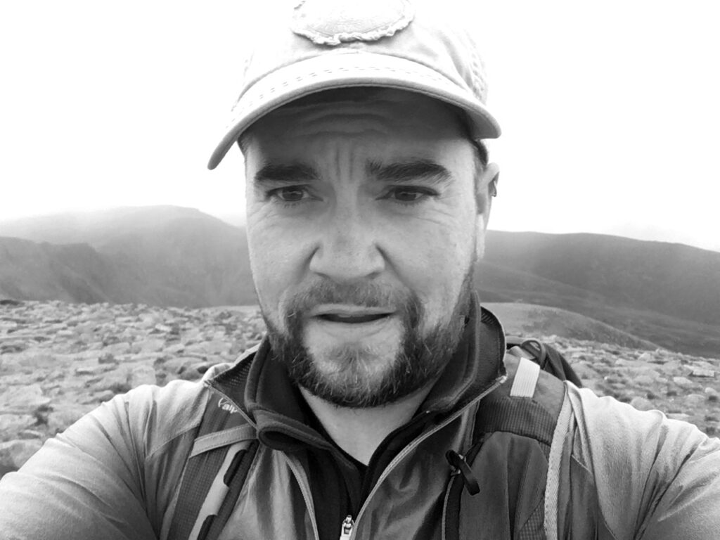
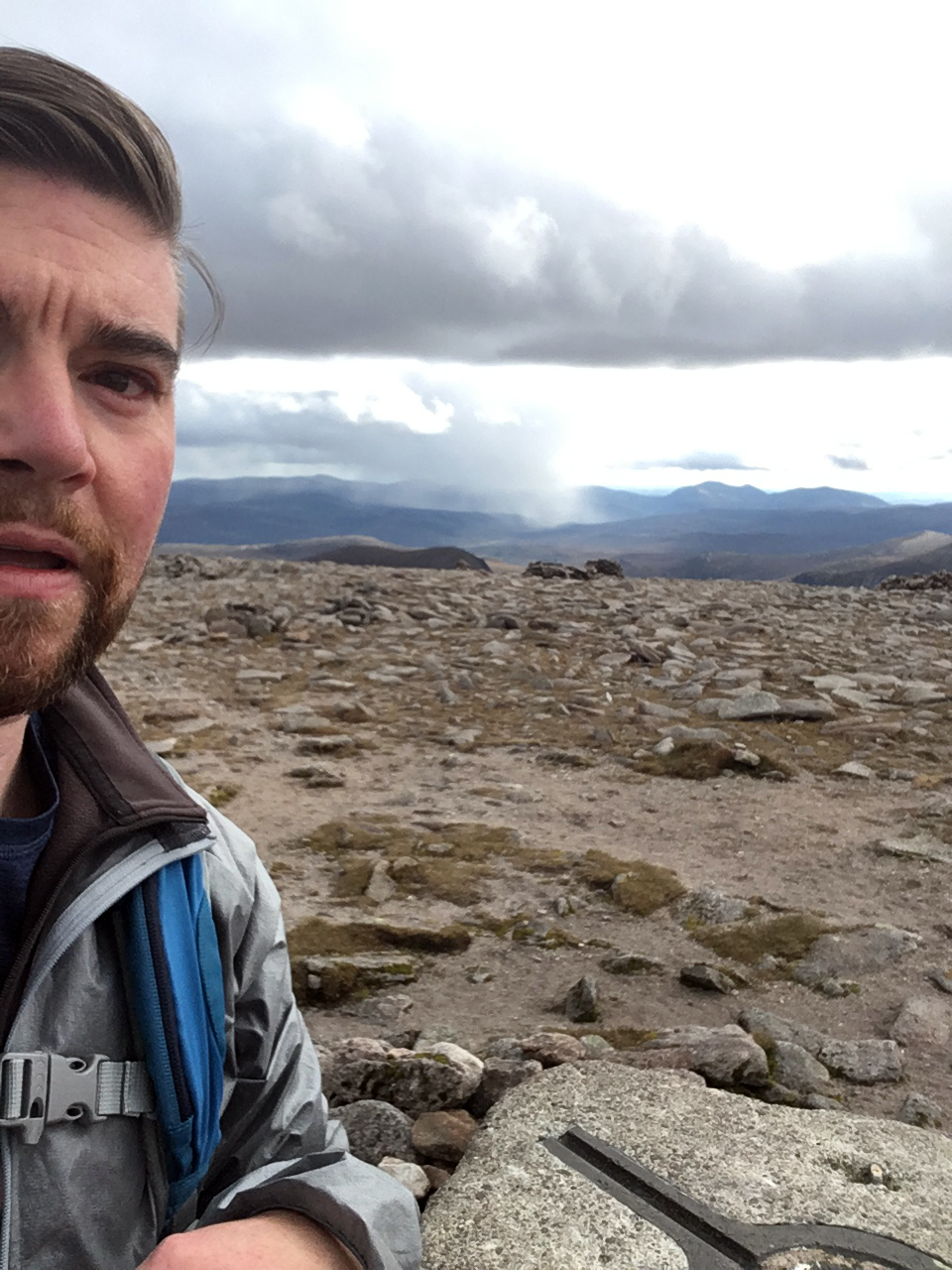
Went on to High Willhays, not as nice bivvy spots as at the Tor but I dislike back-tracking. Later I spied some other people on the tor (how very dare they!) and I was quite happy alone. The sun poked through the clouds a bit before it went down as a red disc. I found a great sleeping spot which was sheltered under an over-hanging rock, but not needed this evening. Settled down in a little less sheltered position in order to see the sun coming up. It was almost cold; dry and still. I had my thermarest inside the bivvy bag and it was a bit of a squeeze. I woke a few times in the night, it was never particularly dark, I could see lots of stars in a blue/grey sky. Woke a bit before 4 am to find a crescent moon and summoned the energy to take few pictures. I finally got up with the sun respectably high in the sky, which felt like about 9 am but turned out to be about half six.

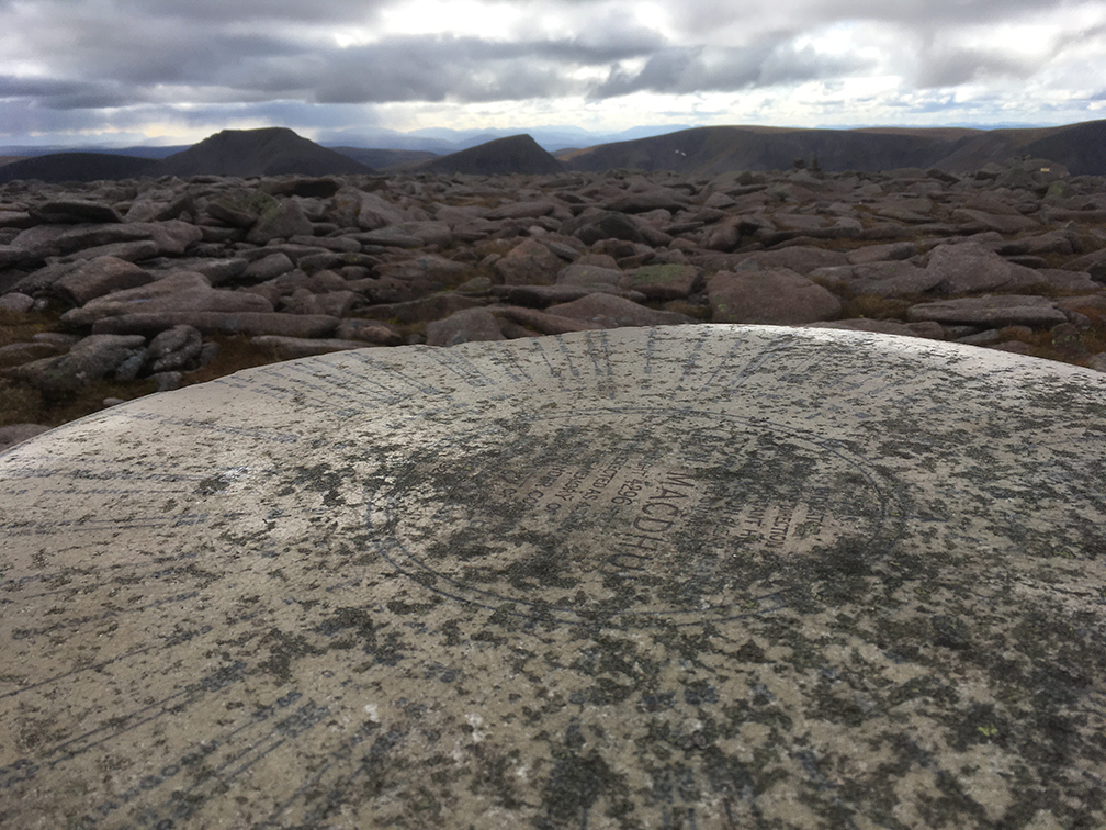
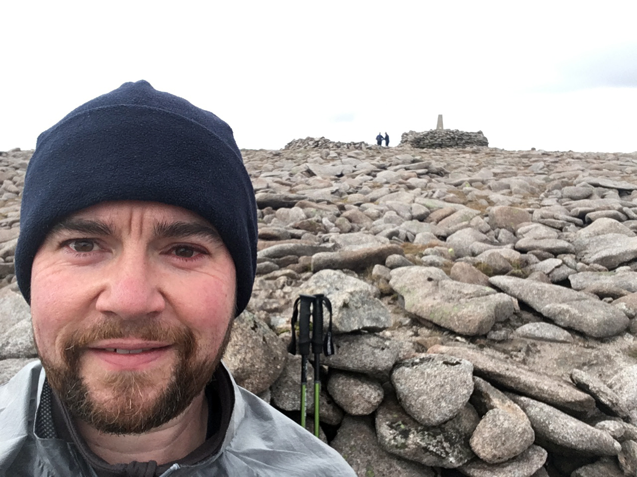
High Willhays; 621 m, Marilyn, Hewitt, County Top
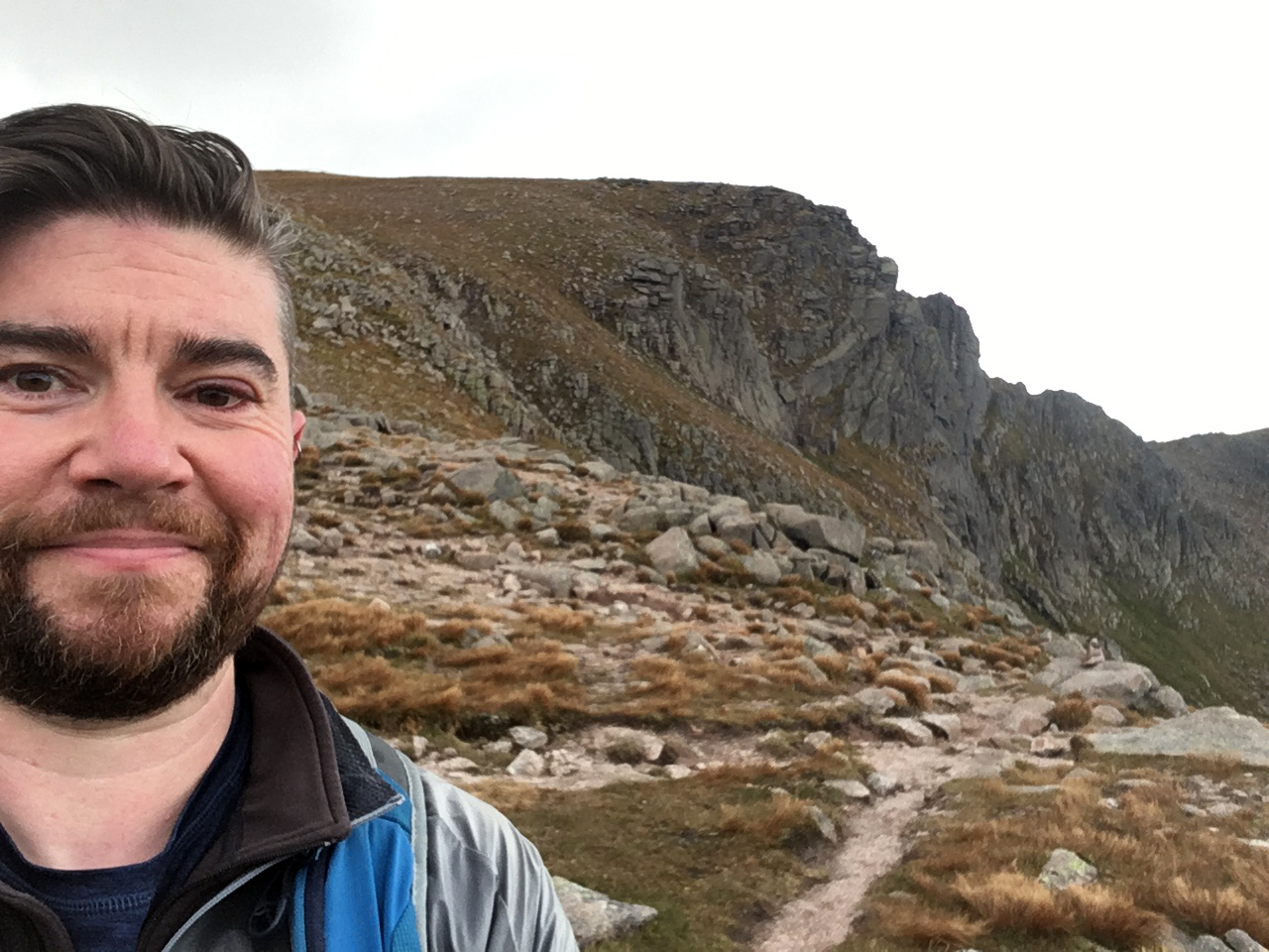
Yes Tor; 619 m, Nuttall

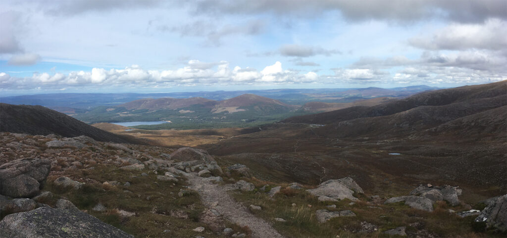
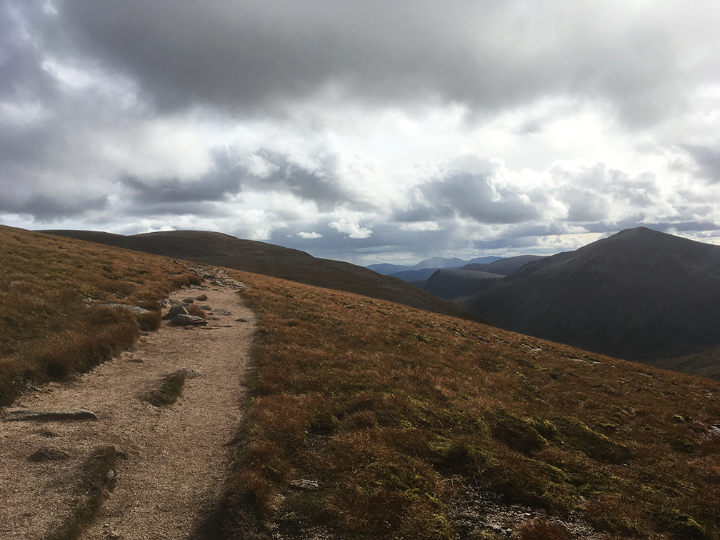
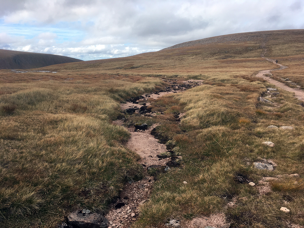
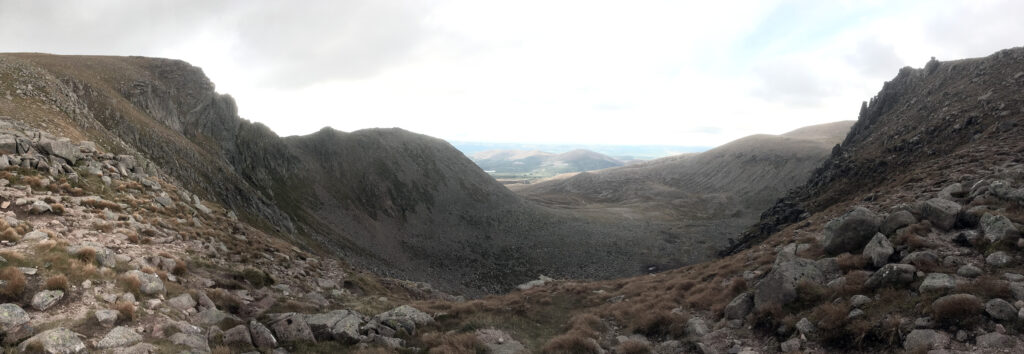
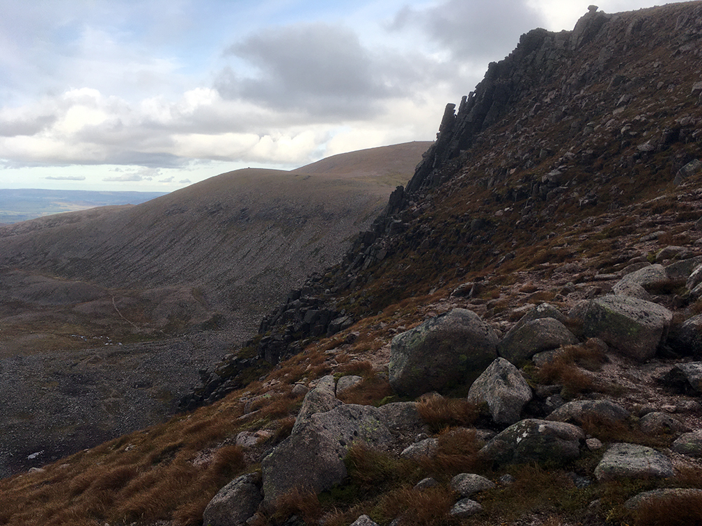
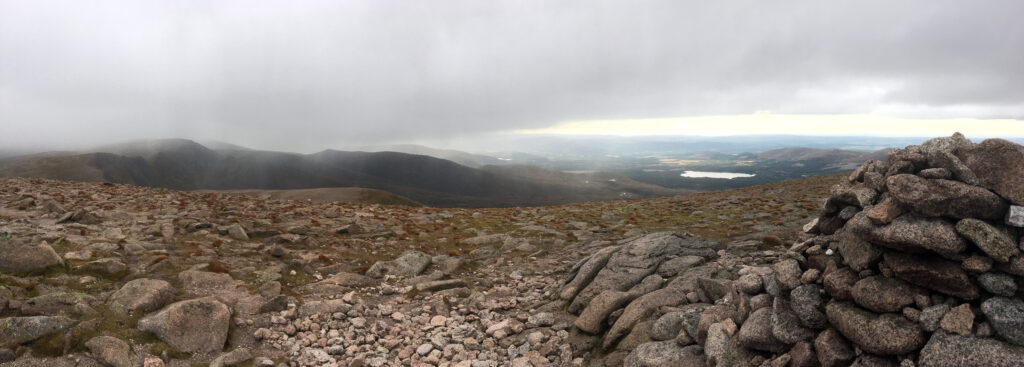
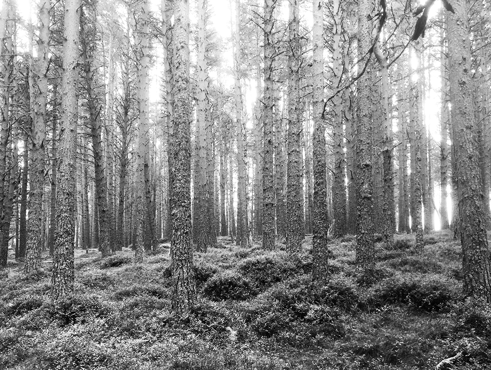
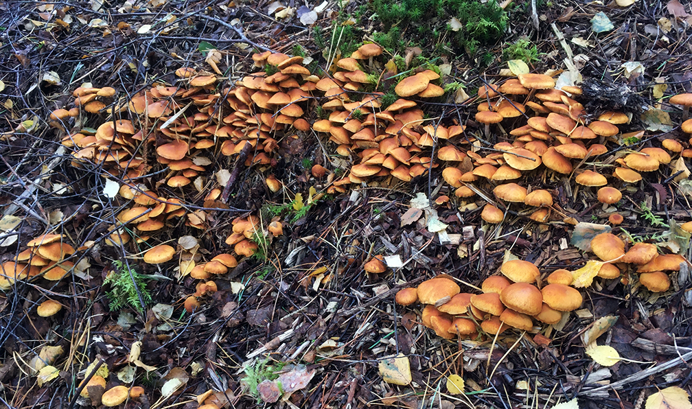
Next morning I walked off-path to pick up a track near Dinger Tor, then followed it to Okement Hill and on to Hangingstone Hill; no gibbet, but a military hut at the top. To the west is the source of the East Dart, the West Okement and Taw. There is a letterbox marked on the map and I didn’t know what these were at the time, so I tried to find it to find out. The area is marked as marsh, but it was very dry. Even so, it became impossibly tussocky, with lots of soft mud. Very glad of the walking poles. In places there were 5 ft drops where the water had worn through the peat, definitely a place to watch your step.
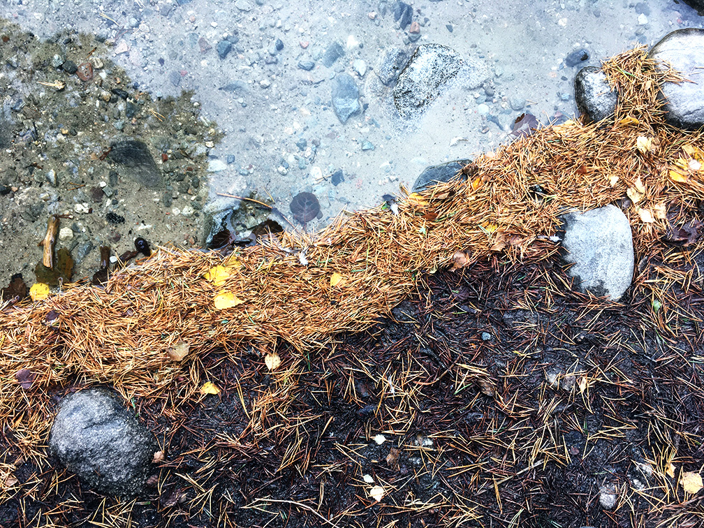
I retreated back to the track and headed north. Crossed the Taw next to the dead sheep your mother warned you about – I’d taken some water further up so was lucky on this occasion. I followed the path to Oke Tor; a great spot, flat sheep-cropped grass at the top and some shelter from the stones. I started to meet a few other people now. Followed the Taw back to Belstone and the waiting van.


Hangingstone Hill; 603 m, Dewey
Princetown

Camped at the Plume of Feathers pub for a couple of nights. There is a new visitors centre in an old hotel where Arthur Conan Doyle stayed when researching and writing The Hound of the Baskervilles. They had a small exhibition including some letters that he had written at the time. In this hot and sunny weather it was hard to imagine the mists that he talked of, but I know this isn’t typical. Bought a copy with accompanying notes to read over the next few days, and as it turned out, to inspire some walking.
I visited the prison museum, a mind-boggling array of pieces and text in no particular order. The personality of ‘the curator’ was closely felt. They had an old bike that was claimed to have belonged to one Mr MacKie.
I set off for a walk at 4pm but it was still hot. I saw one other person, a guy on a mountain bike going the other way. There’s a bridleway straight out of the campsite to South Hessary Tor, which then takes a straight line to Nun’s Cross, and a nice if deserted-looking farmhouse.


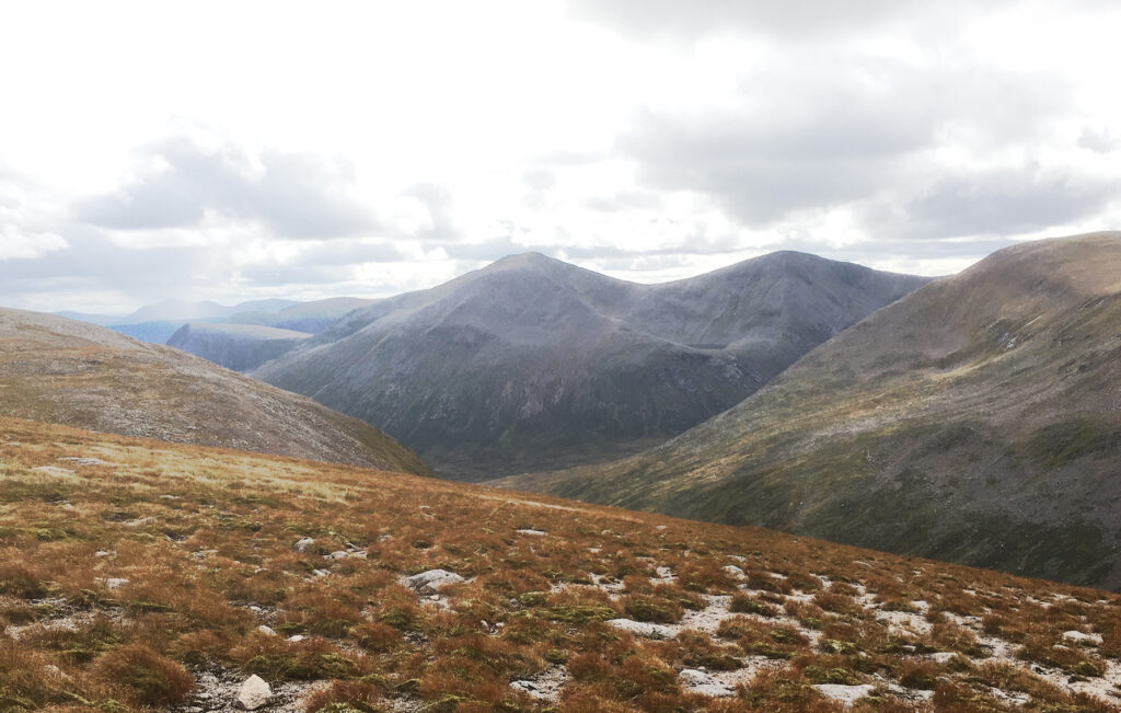
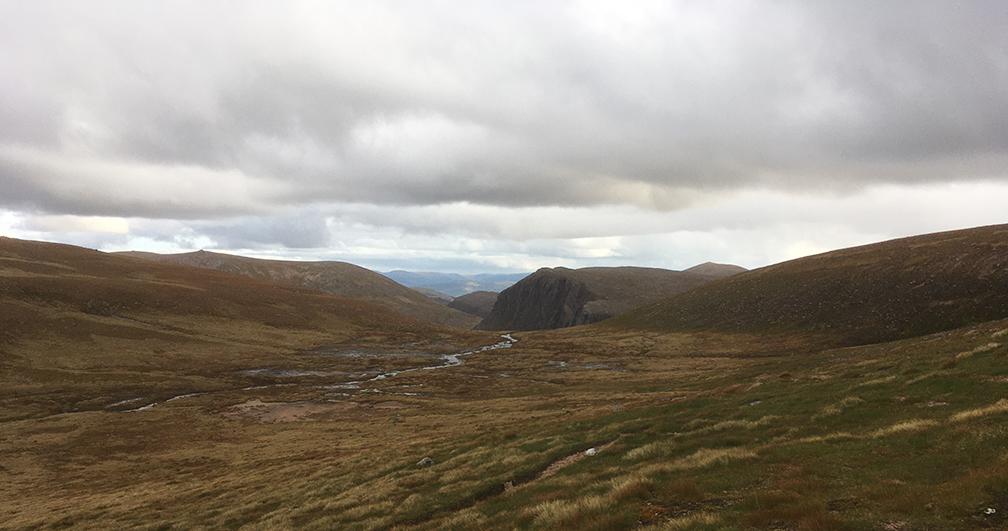
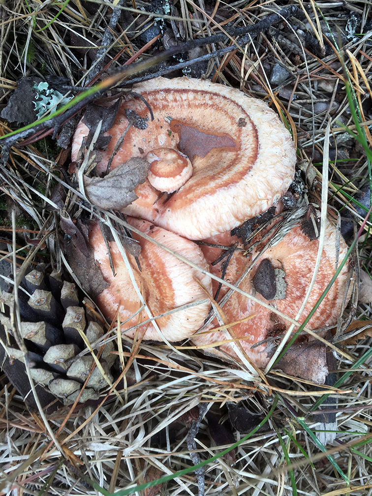
Then over the Devonport Leat and across a bit of the Abbot’s Way before heading to Fox Tor, past another cross. This is a great viewpoint and overlooks Foxton Mires, which became the Grimpen Mire for Holmes. Downhill to Childe’s tomb (familiar from a Seth Lakeman song) and then a bit of compass use to aim for some Cists which were marked on the map but I had no idea what they were – I found some circular patches which must have been them.


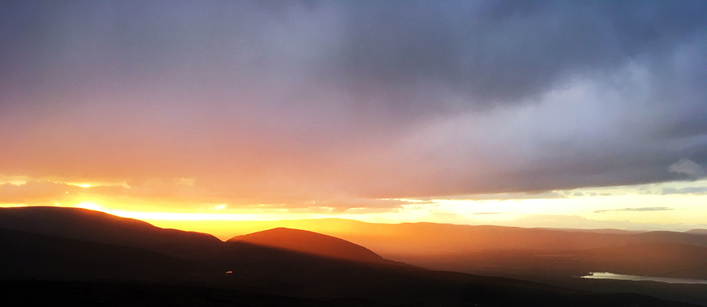
To get back I had to cross the Swincomb River, which flows into the West Dart. I spotted an animal crossing and waded through in my boots – it was actually quite pleasant. Again the poles were useful. A bit of a slow tramp up a tussocky and featureless field to eventually come out onto a road back to Princetown, in time to watch the sun setting behind North Hessary Tor. Returned to the campsite after 10 pm: they never close.


South Hessary Tor; 454 m, Tump
Grimspound
Left Princetown and drove north east via Postbridge to Bennetts’s Cross.


Took a path south towards Soussons Down Wood, then around the edge of Challacombe Down. An old village is marked on the map, visible was a wall including some massive stones, and ridges in the ground. Later on I saw that these extended around the hill, and there is a field system marked, which looked like terraces. Followed a road south for a mile to Blackaton Cross, then a bridleway uphill to meet the Two Moors Way. This was a nice viewpoint, of other tors, craggy hilltops and crazily steep roads.


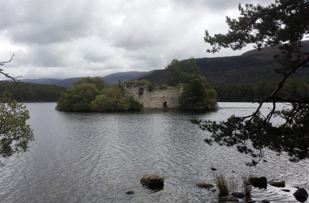
Then I took the Two Moors Way north, over Hamel Down. It connects a number of cairns and barrows, which are marked with a stone each with what looked like ‘DC 1853′. From Hameldown Tor (529 m) it is downhill fairly steeply, during which the settlement of Grimspound comes into view, the inspiration for Holmes’ hideout on the moor.


Up once more to Hookney Tor, then back to the van to head towards Buckfastleigh.
Buckfastleigh
After being slightly lost I followed a campsite sign and ended up at Beara Farm, which was delightful. The other campers seemed fairly resident, either in vans in varying states of repair or teepee-shaped canvas tents full of children. The very friendly farmer called John pointed out the way to the River Dart if I fancied a swim, which I thought was mad but did in fact take a quick dip in lieu of a shower. It looked calm but the current was respectable and it was of course freezing.


The following day the rain came, and I had a cycle around the place mainly because I had brought my bike and thought I ought to use it! Got to Buckfast Abbey which was busy with coach trippers. The Abbey Church was odd, being clean and new yet traditional ‘church’ in style…the money required to rebuild it must have been considerable. The only place open in the town was The Seed cafe, which turned out to be staffed by a guy from the campsite who had cycled there in bare feet. A very nice cafe/shop although the anti-vax stuff was a little scary.
The rain stopped by the evening, my last before heading home. The Buckfastleigh to Totnes train line is on the other side of the river…a steam train is just puffing past. Holmes and Watson could be on it, on their way to Baskerville Hall.