Isle of Mull

27/08/15 – 04/09/15

Isle of Mull map


Craignure

Train to Oban via Glasgow (note the change in cuisine).  Ferry to Craignure and a night at the campsite there.  A nice spot with great clean facilities, including a common room with wood-burning stove.

Haggis crisps Sound of Mull Sound of Mull Craignure campsite


Tobermory

The bus services on Mull are great, and the Craignure – Tobermory route uses a double decker so you can get a great view.  The majority of the roads are single track with passing places, so it’s a nice slow journey.  Spent some time watching gannets diving into the sea while waiting at the bus stop.  I was told that the ones around here nest on St Kilda; that’s 140 miles as the gannet flies, a long way for a fish supper.

Tobermory Tobermory harbour Tobermory harbour Tobermory harbour Tobermory harbour


Rainy day activities: distillery and museum.

Rain drops on tent Tobermory whisky fast river Peaty water


A boat trip to Staffa via the Treshnish Isles, featuring a white-tailed eagle, gannets, kittiwakes, shags, seals, a minke whale and maybe some porpoises.  And exciting rocks, of course.  Very smart boat and knowledgable crew from Staffa Tours, happy to spend time detouring to follow the minke.

Rubha nan Gall, Mull Treshnish Isles Seals, Treshnish Isles Seals, Treshnish Isles Staffa Staffa Fingal's cave Fingal's cave Fingal's cave Fingal's cave Staffa Staffa Staffa


Fionnphort

Amazing campsite at Fidden farm, right above the beach.  The sun came out and the sea was irresistible.  And freezing, obviously.

Fiden Farm, Mull Fiden Farm, Mull Fiden Farm, Mull Shells Shells Swimming, Mull Swimming, Mull Erraid from Fiden Farm, Mull Fiden Farm, Mull Fiden Farm, Mull


Moonrise and sunset.

Moon landscape, Mull Fiden Farm, Mull


Views from Fionnphort.  The strange shaped island beyond Iona is The Dutchman’s Cap, one of the Treshnish Isles.  The others were named by Vikings, not contraceptives.

Fionnphort, Isle of Mull Fionnphort, Isle of Mull Sound of Iona


The tidal island of Erraid as featured in Robert Louis Stevenson’s Kidnapped.

Erraid, Mull


Iona

First stop the nunnery.  A carving over a window shows a voluptuous and accommoddating woman, apparently keeping those inside safe from such temptations.  One tiny room of the whole complex had heating – they must have been some tough nuns.  Today was very sunny (i.e. I got burned) but required all layers and a hat because of the wind, and that was the tail end of summer.

 Iona nunnery Iona nunnery Iona nunnery


The Abbey; journey’s end for many, be they pilgrims, coach trippers or important dead people.  In front of the abbey in the grass is the Street of the Dead (Sràid nam Marbh), after it passes the burial area (Rèilig Odhrain).  There is an exhibition of ancient stone crosses, where I learnt that the circle was an addition to support the lateral arms which could otherwise be heavy enough to cause the stone to break.

Iona abbey Iona gravestone Iona gravestone Iona abbey Iona abbey Iona abbey Iona abbey Iona abbey Iona abbey Iona abbey Iona abbey Sound of Iona


Views from Dun I, the highest point on the island (101 m, so just a HuMP).  Excellent visibility, Cullins of Skye spotted.

Sound of Iona View from Dun I, Iona


There is a green colour in the rocks found in abundance in St Columba’s bay, apparently from chlorophyll.  I should have brought my accommodation with me, it would have been a lovely spot for the night.

Beach on Iona St Columba's bay


The three lochs

A short-ish but tussocky and boggy walk followed by a very wild camp.  Nice evening with ever-increasing wind.  Met an adder shortly before pitching for the night on the only vaguely suitable ground.  Previous choice was under a sheltered rock, but a deer had obviously had the same thought when it was unwell and consequently expired there.

Glen More, Mull Glen More, Mull Loch Àirde Glais Gleann a' Chaiginn Mhòir, Mull Adder, Mull

A peg was blown out into the burn at 5 am, so that corner of the tent was anchored with the water bottle and I waited in the sleeping bag for enough light to pack up and walk down towards Loch Buie.  I serendipitously found the peg while rinsing out my mug before I left.  Walking to the main road I missed the bus by a minute or so, the next one was two hours later so I sat by a sort of estuary where the river Lussa enters (the sea) Loch Spelve, watched the birds and had tomato soup.  I think I spotted an eagle.

Lochbuie, Mull Loch Uisg, Mull Kinlochspelve, Mull

Balure cemetery, Loch Spelve, Mull Hills on the mainland from Mull Soup on the shores of Loch Spelve Route of three lochs walk, Mull


Oban

Back to reality…the first establishment encountered on disembarking from the ferry in Oban is a Weatherspoons.  But the place did have some more individual touches.

So long and thanks for all the fish; Oban

23/08/15 Kinder Scout

A mission to find the highest point, and a bit of map and compass exercise.  We were lucky with the weather, it was clear enough to see that we might actually be at the top (marginally higher than the surrounding moor; perhaps not worth it unless you are a bagger) and the rain held off until we were on the home strait.

Kinder Scout Kinder Scout Kinder Scout Kinder Scout Kinder Scout

Kinder Scout Kinder Scout Kinder Scout

10 miles

Kinder Scout: 636 m, Marilyn, Hewitt, County Top

Wales 2015

04/07/015 Holyhead − Bangor

Arrived at Bangor station around 3.30 pm, rode to the marina area to try and find the official start of NCN 8; nothing obvious, just a few bike signs with something else on them.  Tried to get a sandwich in a pub but they had stopped serving 10 minutes previously.  Several cafes closed, found one still open but which had also stopped doing food, so settled for coffee and a sandwich from the Co-op.

Holyhead, start of NCN 8

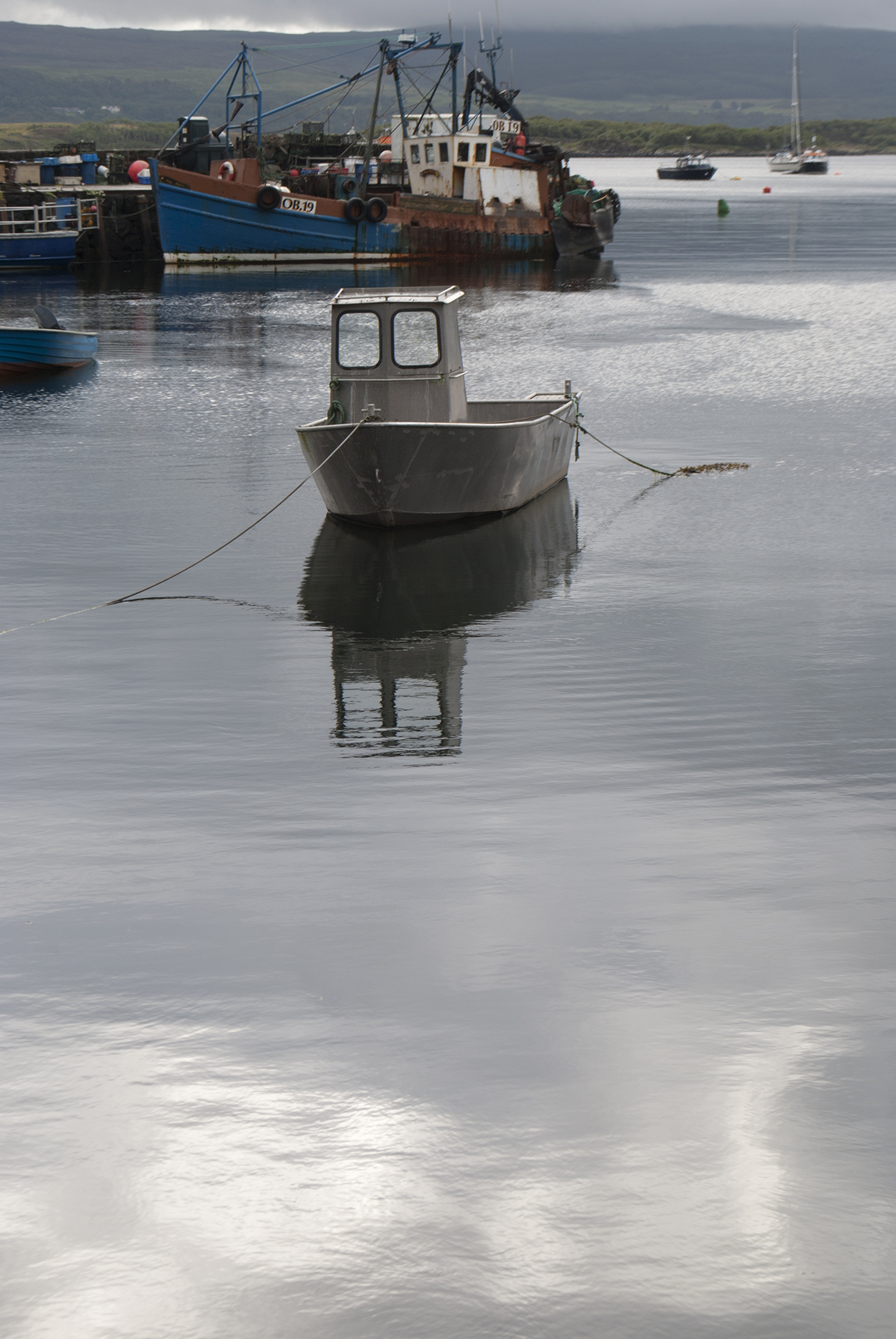
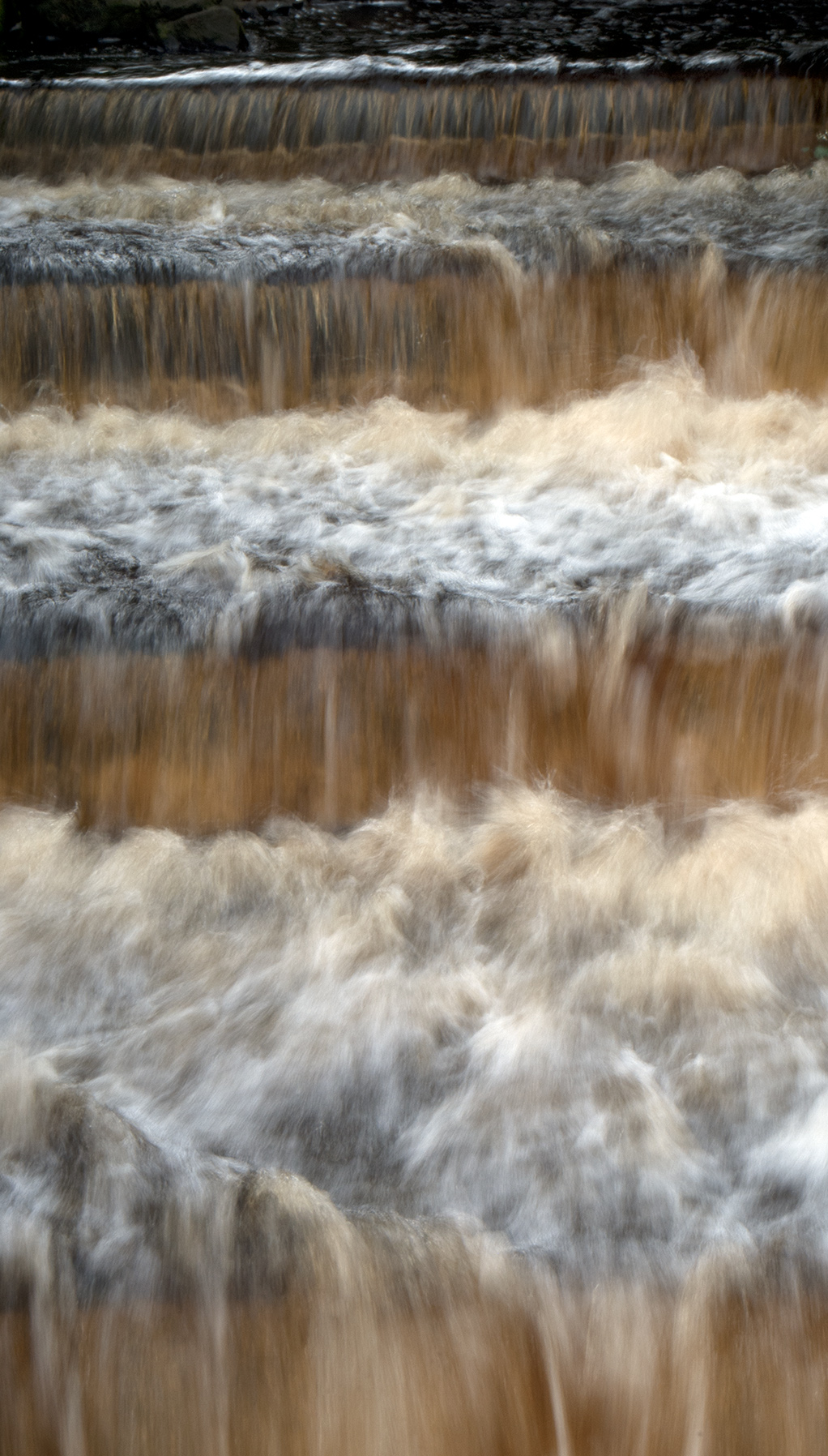
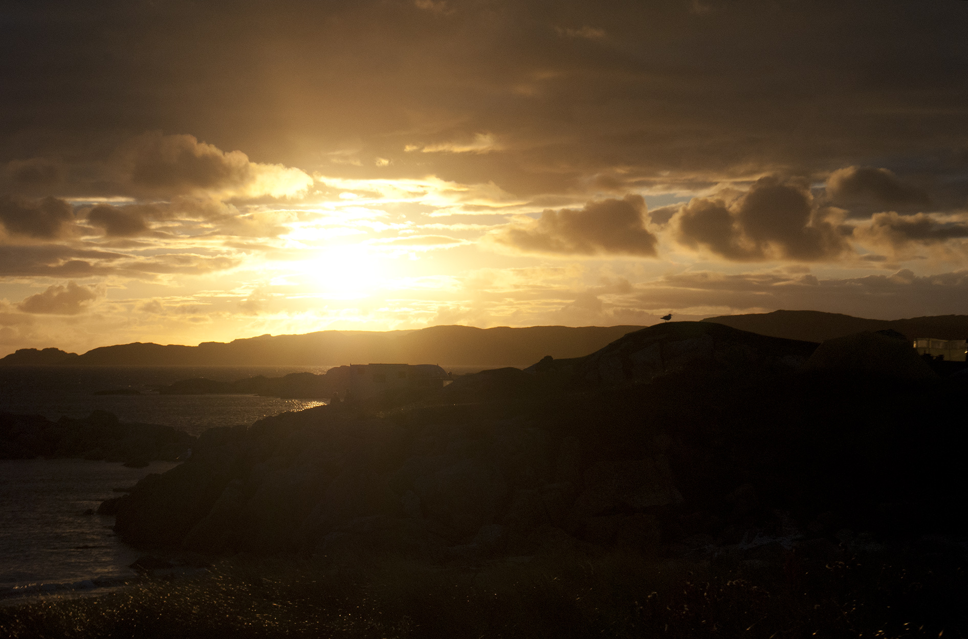
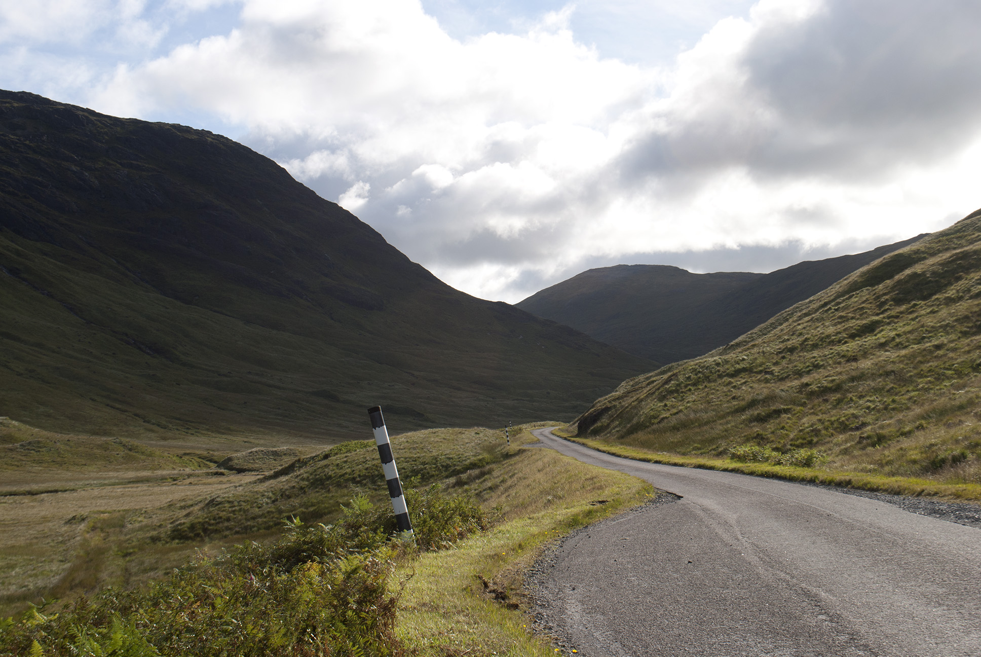
Stuck to the A5 rather than try and follow NCN 8/5 here; with the A55 running parallel it was pretty quiet.  Good weather, fairly flat and a light wind.  There was a nice path/cycle track over the causeway from Holy Island, the tide rushing through a channel in what looked otherwise solid.

Milestone on Anglesey Menai Bridge Camping dinner Bangor

Over the Menai Bridge, which is quite narrow so difficult for cars to overtake but it’s not very long.  The campsite at Treborth Farm was just over the bridge, nice place but quite expensive at £16 plus £1 for the shower.  Not a quiet evening, first some nocturnal activities from a couple in a nearby tent who had perhaps overestimated the sound proof properties of nylon, then fireworks (independence day?).

Holyhead - Bangor map

24 miles


05/07/15 Bangor − Porthmadog

Weather good and ready to leave at 9 am, at which point there was a sudden downpour.  It seemed like an odd shower until later when the rain set in properly.  Followed route 8 signs on and off to Caernarfon, the usual daftness of avoiding the road in places, although useful to find my way out of Caernarfon, my coffee and bara brith stop.

Welsh flags in Caernarfon Caernarfon Caernarfon

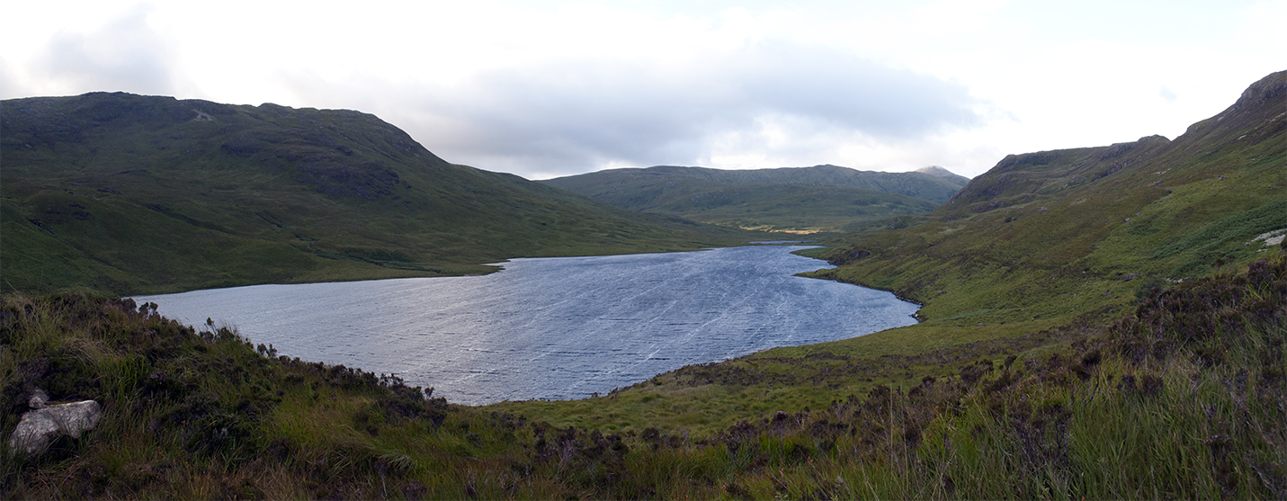
Going south the route goes off-road, following a narrow gauge railway.  There were a few groups of blokes working on the line including some around a very rusty old engine.  It looks like the line goes all the way to Porthmadog but goes east inland at Dinas whereas the cycle path continues south along what looks like another old train route, a very nice section.

Cycle path NCN 8 Welsh railway Welsh railway Welsh railway 

The ride became a bit of a drag, into the wind and the sort of gradient that you can’t tell if it’s up or down, and then the rain started.  The route joins the ‘road’ – which is a very steep concrete section with lateral lumps in, through a farm.  I had already planned to divert to the more sensible B road here, which I followed to Criccieth.  I found a great tea room with a waitress sympathetic to my dripping.  Welsh very widely spoken here.

Cycle path and rain Rain approaching Criccieth

Stuck to the main road to Porthmadog as it was still unpleasant, and found the campsite at Tyddyn Llwyn fairly early.  A big place equipped with very welcome tumble driers, and a pub/restaurant on site.  Mostly static caravans, and my only complaint was that the tent pitches were not on very flat areas.

Campsite Porthmadog Bangor - Porthmadog map

32 miles


06/07/15 Porthmadog − Dolgellau

Rained all day.  As advised the bridge from Minffordd to Clifor was closed (due to reopen the following week) so I took the detour up the Vale of Ffestiniog to Maentwrog and back down the other side.  There were road works with traffic lights on the return section and it was only when I got to Clifor that I realised how long they were, and that a large queue of traffic had been at waiting for me to pass.  Good job I didn’t stop to take photos.

NCN route 8  Vale of Ffestiniog

I decided to stick to the A496 rather than the 20 % gradient on offer on route 8, a B road to Harlech.  This turned out to be an excellent choice as most of Harlech is high up and this was a more gradual way to approach it.  I stopped for allegedly one of the best scones in town (no complaints) while successfully struggling to resist a full ploughman’s.  Seemed quite a well-to-do place, and a UNESCO heritage site.  Some building work around the castle looked like a new bridge for visitors.

Harlech castle

Continuing along the A road to Llanaber I rejoined NCN 8 where a very steep path takes cyclists and walkers down and along the promenade to Barmouth.  Over the Mawddach is a bridge for trains with a board walk for bikes and pedestrians; there was a closed toll office and a few weeks after returning home I saw (and signed) a petition to the local council to keep the bridge open to cyclists.

Llanaber Llanaber promenade Barmouth bridge toll office Barmouth bridge toll office Barmouth bridge

Once over I failed to find route 8 for a while, at last it appeared by the road at Penmaenpool and I followed it to Dolgellau.  Cooked under the tent’s porch in the rain and changing wind.

Trangia porthmadog - dolgellau map

39 miles


07/07/15 Dolgellau − Machynlleth

A nice quiet road out of Dolgellau winds uphill before crossing the A road of the Bwlch Llyn Bach and then heads straight up what is not much more than a farm track; a long walk pushing a loaded bike.  I met a few D of E-ers coming the other way, complaining about their walk and wishing they had wheels.

NCN 8 near Dolgellau NCN 8 near Dolgellau NCN 8 near Dolgellau NCN 8 near Dolgellau

At the top was an almost alpine view of the valley down to Aberllefenni, and I could get back in the saddle.  Some slate mines in the very steep hillsides just before joining the road to Corris, where I stopped in a very busy little shop/cafe.

NCN 8 to Aberllefenni NCN 8 to Aberllefenni Slate mine near Aberllefenni Corris train station

Although the weather had been much better today I stopped fairly early in Machynlleth.  This was the last place with a train station along route 8, and if I went further I was committed more or less all the way to Cardiff.  I had a train booked but no contingency time, and aware that the longer and hillier days of the route were still to come I decided to stop here for a few nights and return home via Manchester.

NCN 8 near Machynlleth Campsite near Machynlleth Campsite near Machynlleth

I camped at a site near the Centre for Alternative Technology, a couple of miles north of town.  There was no hot water when I arrived but I think that was the fault of the large D of E group that had arrived before me.  It was very windy and the lads group kept having to chase after various bits and pieces to stop them being blown into the river (Dulas) that ran past the campsite.  My tent, once up, survived the wind and the rain that passed in the night very well.  There was another cyclist called Anna also doing route 8, including a detour to Hereford for a party.  She seemed to be travelling fairly light, no front panniers, so I’m not sure where she had secreted her party togs.

Dolgellau - Machynlleth map

15 miles


08/07/15 Centre for Alternative Technology

Centre for Alternative Technology Centre for Alternative Technology Centre for Alternative Technology Centre for Alternative Technology Centre for Alternative Technology


09/07/15 Aberystwyth and Borth Sands

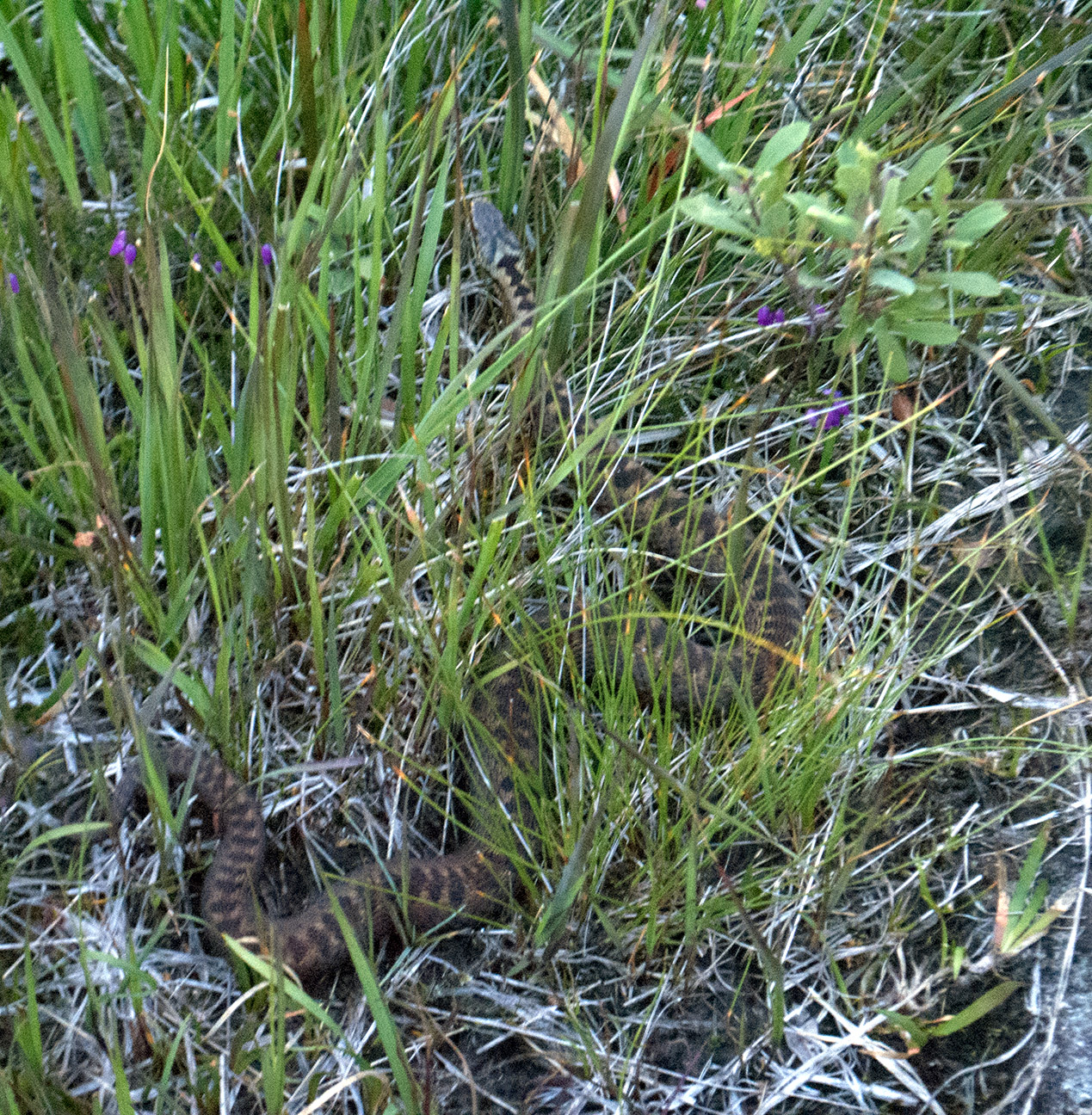
Visted the Dyfi Osprey Project, with great timing as the young were expected to fledge in a week or two.  They have four cameras for great views of the nest and perch, plus a huge hide with telescopes and binoculars, and very enthusiastic and informed staff/volunteers.  The reserve is boggy wetland area, and they keep two water buffallo to help manage it, a strange sight in mid-Wales.  Plenty of other birds around (redpolls and siskins plus the usual tits), dragon flies and a bank vole (identified as such by being tiny).

Dyfi Osprey Project Dyfi Osprey Project Dyfi Osprey Project Water buffalo, Dyfi Bank vole, Dyfi

Had quite a chat with one of the volunteers who turned out to be from Cupar, and also worked with Sustrans.  He didn’t think that cycle provision was very good in the area, so I didn’t have to pretend to be polite – some of route 8 is great but as usual some is daft and the signage is poor.  Another chap was looking at my bike while I was in the gents, he had been quite a serious rider in his younger days but was now looking for a more comfortable machine.  He asked me technical questions about gear ratios so I smiled and nodded.

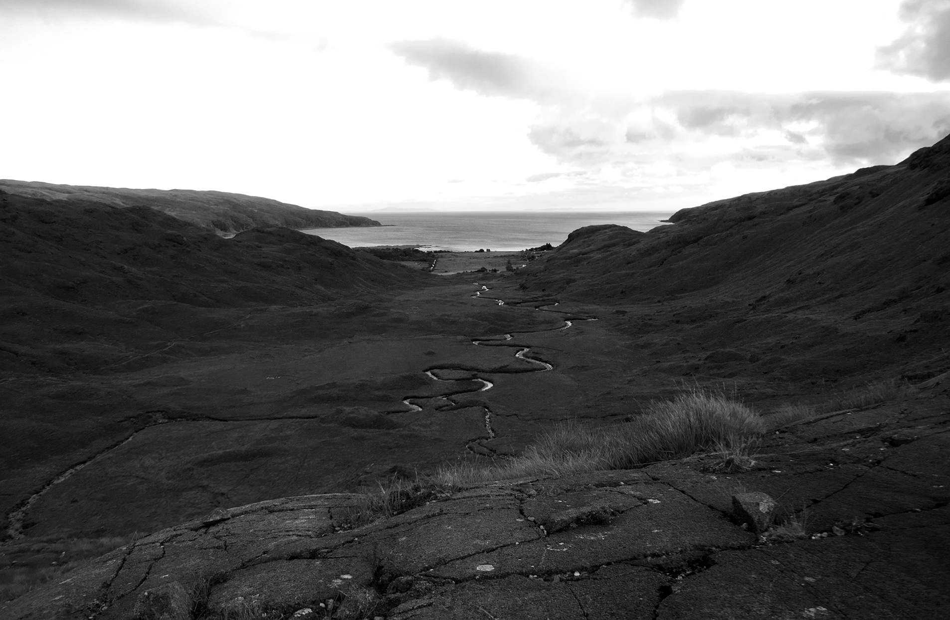
I cycled further along the Dyfi to the coast and the huge dunes at Borth sands, then up a crazy hill (25 %, the road is visible in the photo) and down the other side to Aberystwyth.

Borth sands Borth sands Borth sands South from Borth sands

Spotted a pair of dolphins in the bay and watched them for a while, getting sunburned in the process even though it was after 6 pm.  The train back to Machynlleth.

Aberystwyth Rocks, Aberystwyth Dolphins off Aberystwyth

Machynlleth - Aberystwyth map

23 miles


10/07/15 Machynlleth

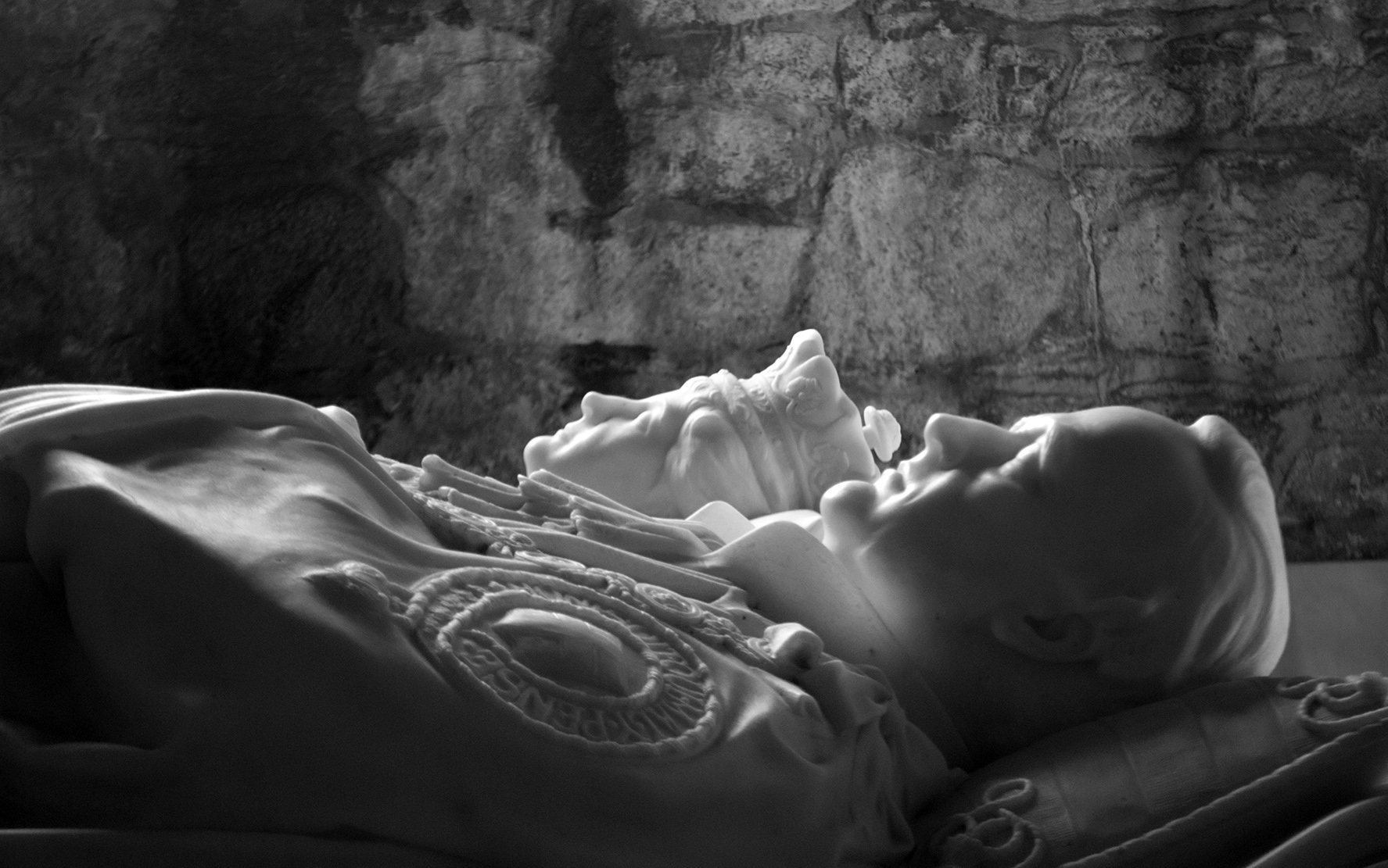
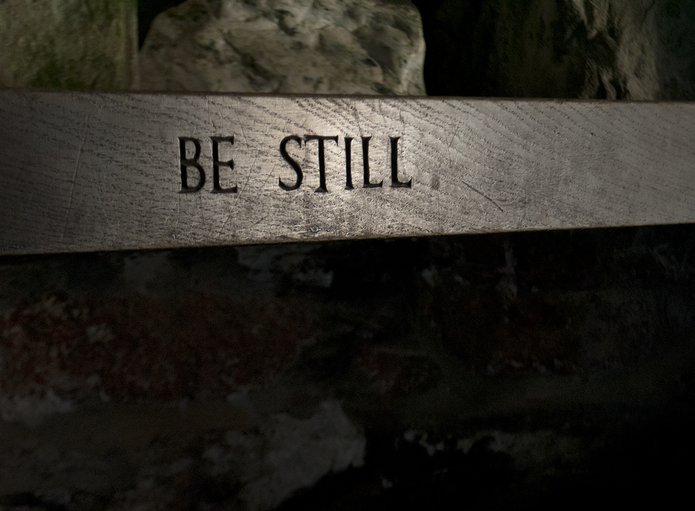
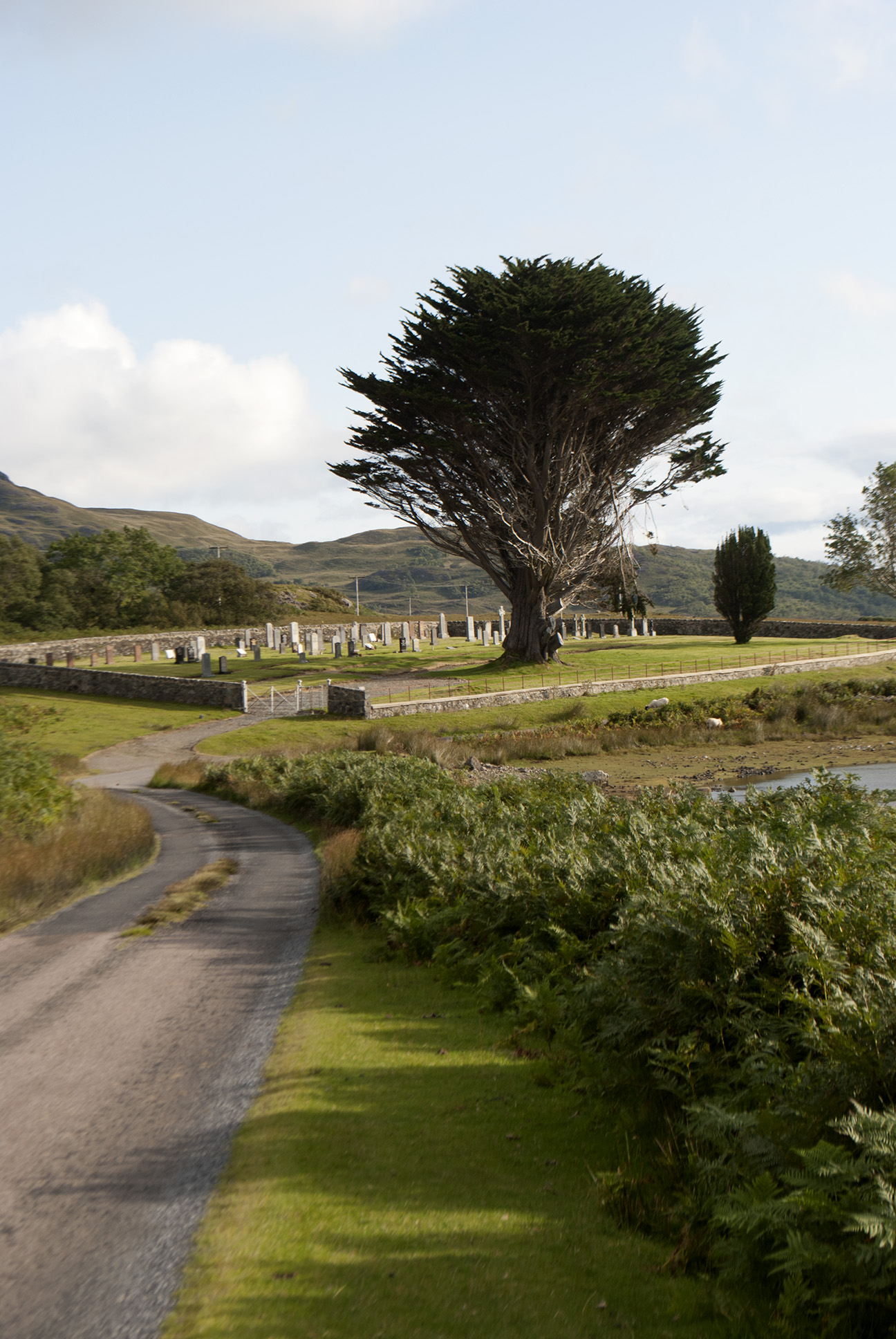
While waiting for the train to Manchester I attempted to visit the local gallery, but most of it was closed as they were hanging a new exhibition.  There were some photographs of birds on display which were good, and I visited the cafe and eavesdropped on some posh ancient locals, who were rather amusing.  Then a mooch around the graveyard, which had a huge range of stones from worn slate slabs with barely any visible writing, to large monuments in the more well-to-do area.

Post box in Machynlleth Machynlleth Red Kite

Grave stone in Machynlleth Grave stone in Machynlleth Grave stone in Machynlleth Grave stone in Machynlleth

Coté de Midup et Bradfield 100 km

14/06/15

Camped the night before this one, partly to avoid a very early morning and also to give the tent a check over.  Campsite near Low Bradfield which still has various le Tour decorations.

Cote de Midup et Bradfield campsite Cote de Midup et Bradfield campsite Cote de Midup et Bradfield le Tour Cote de Midup et Bradfield hills

The route had to be changed at the last minute because of road works, it was supposed to go over Snake Pass but we got Holme Moss instead.  In some ways I’m glad the visibility was so awful, as it meant we couldn’t see what we were struggling up.

Cote de Midup et Bradfield Holme Moss Cote de Midup et Bradfield Holme Moss Cote de Midup et Bradfield towards Edale Cote de Midup et Bradfield hills Cote de Midup et Bradfield route

105 km, 2.25 AAA, 7 hours 30 minutes

Moffat Toffee 200 km

25/04/15

In which I finally earn some points.  Second last to finish.

Overnight in Galashiels in the van; not the only one.  Wet start, briefly met Trikin’ Dave but unfortunately he DNF’d so I didn’t have a longer chat.

Moffat Toffee route sheet

Met the same group of three a few times, they were faster but kept taking wrong turns.  They had reached levels of manic laughter which was entertainingly.  Also a couple of others who seemed to be going at a similar pace.  Weather improved throughout the day, by the time I was heading back towards Galashiels it was getting chilly.  As I finally drove home later over the same road it was only a few degrees.

Moffat Toffee hills Moffat Toffee Moffat Toffee queen mary's loch

Controls at Eskdalemuir Community Cafe (excellent) and one in Moffat – probably the first time in familiar surroundings!

Moffat Toffee route Moffat Toffee brevet card

207 km, 12 hours 5 minutes


Spring into the Dales 100 km

12/04/15

Survived the climb out of Hebden Bridge with lots of others, descended into Oxenhope alone.  At around 10 miles there was a fast, clear descent along a reservoir after which I heard a strange noise – rear mud guard had broken under the saddle bag and was resting on the tyre.  The duck tape fix held until a couple of miles before the finish.

Spring into the Dales, mudguard

First checkpoint was a guy in his car stamping cards, boot full of bananas and cereal bars.  It was pissing down by this point.  Next control in Gargrave, two chaps in a bus shelter opposite the Dalesman cafe, which I then went in to warm/dry/eat.

Spring into the Dales, Dalesman Cafe

A couple of info controls, gel and jelly beans required at the second before I fell over.  Hard work climbing out of Keighley, and then the climb from Oxenhope was brutal, but ridable; a very long time in the little cog.  Mutual photo taking with another audaxer at the top.  Not sure where his mate had got to, who had been carrying a selfie stick around all day.

Spring into the Dales, top of Oxenhope hill

All downhill after this, cold hands permanently on the brakes.  Felt a bit sick toward the end, there was a good spread on at the arrivée which I probably failed to appreciate, but the chocolate soy milk that I had with me went down well.  A thoroughly soggy ride, the worst bit being trying to get wet gloves back on and being cold when starting again after a stop.  And a new mud guard will be required.

Spring into the Dales route

115 km, 2.25 AA, 8 hours 39 minutes