29/04/17 and 13/05/17
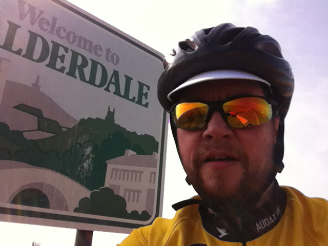
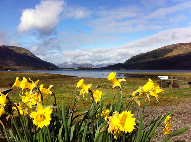
Chalk and cheese in God’s own country.
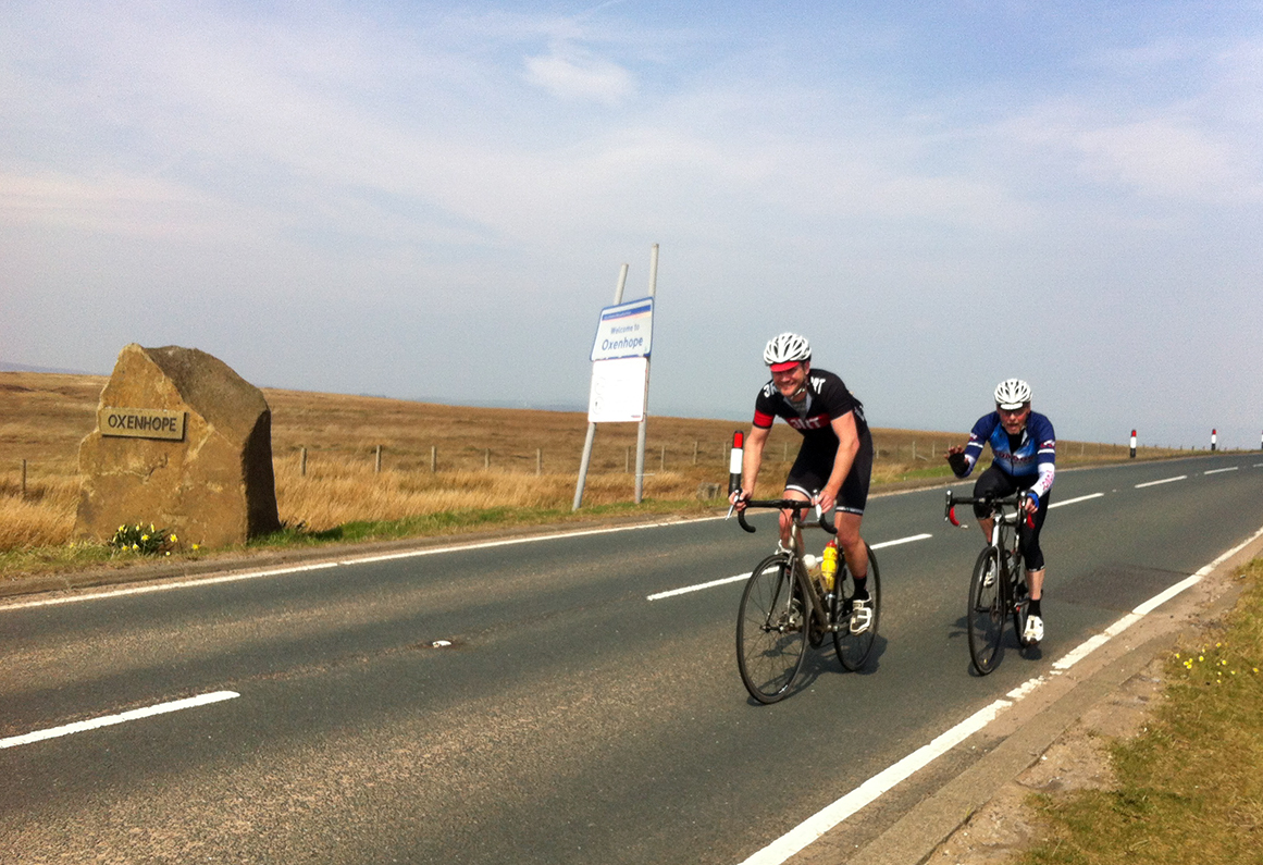
“Right, piss off”. And so around 40 riders were dispatched on what is hopefully the inaugural Beyond the Dales We Know 300 km. Some of us had arrived the night before and camped at Mike and family’s farm, which they had generously opened up to us as HQ. The finer details had not gone unnoticed, including the provision of a cockerel alarm clock to make sure we were all ready for the 6 am start.
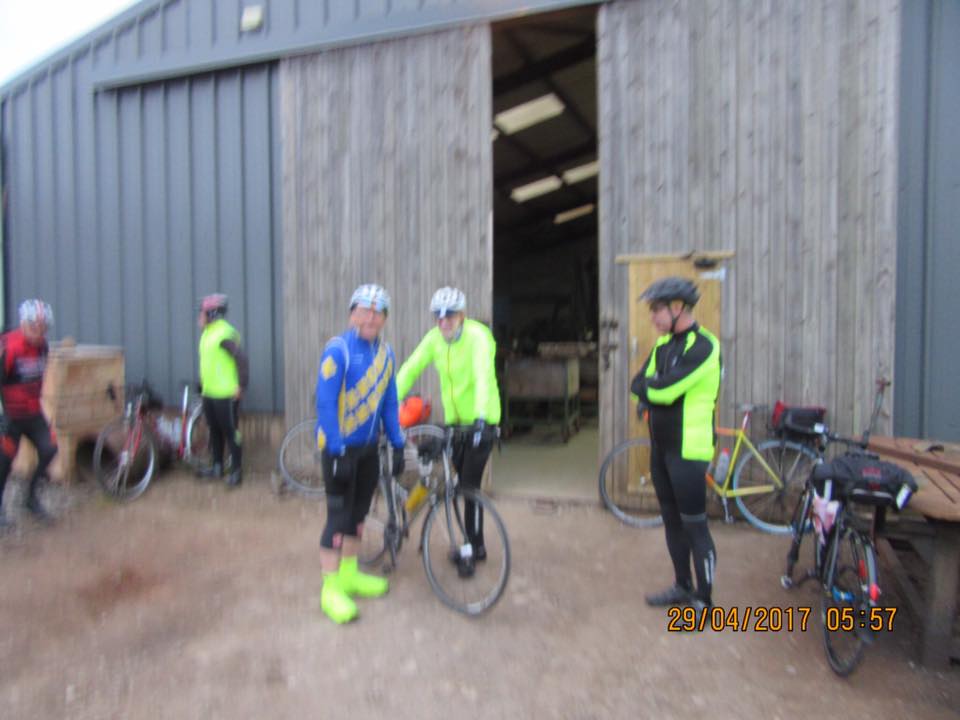

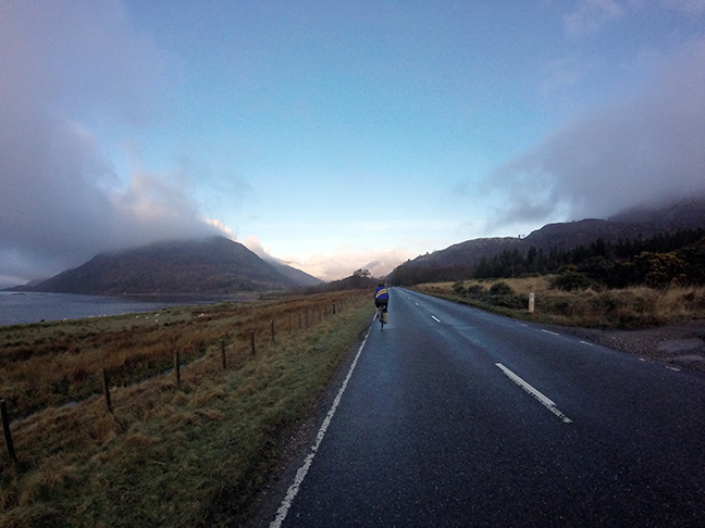
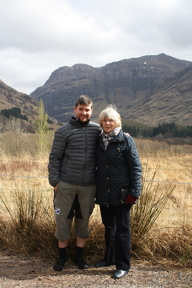
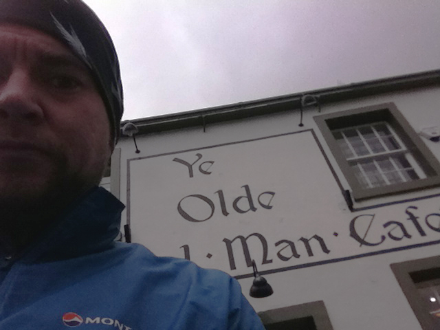
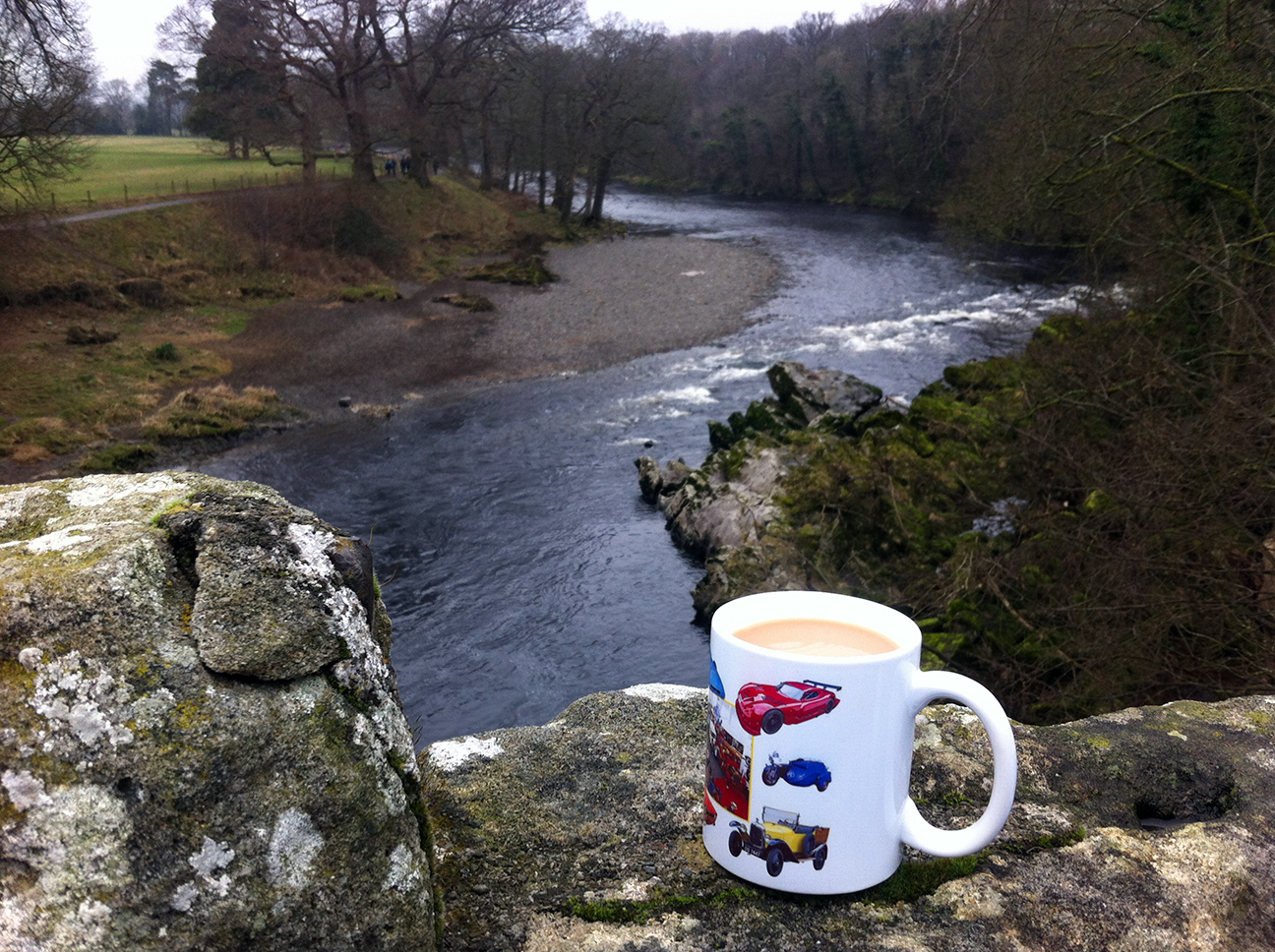
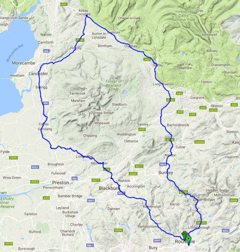
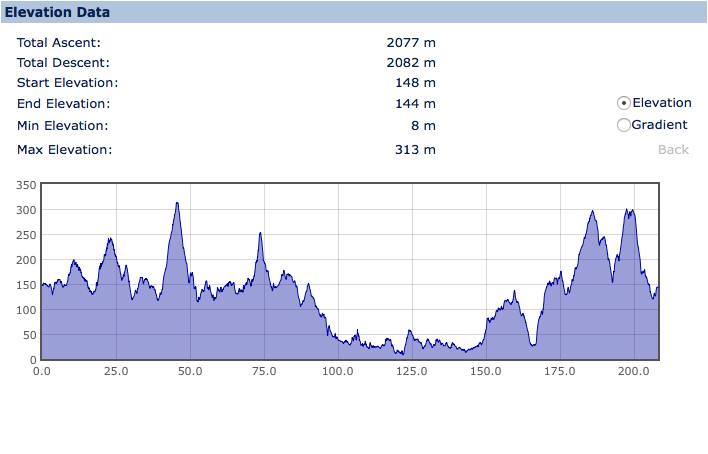
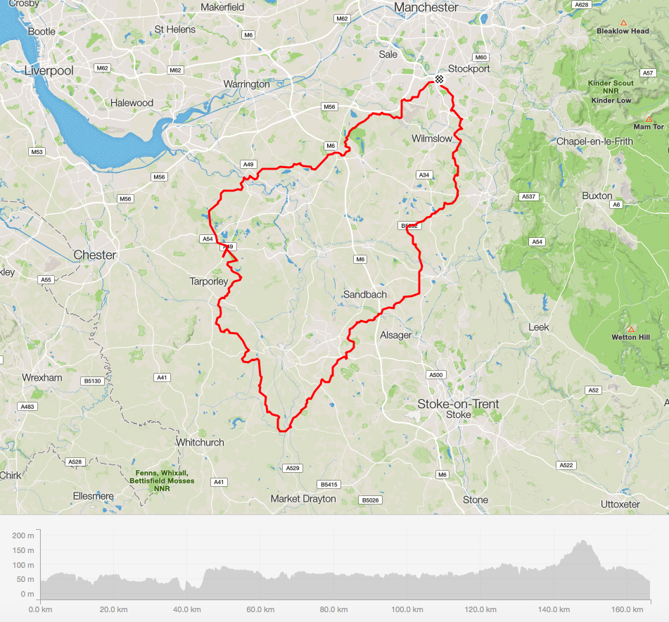
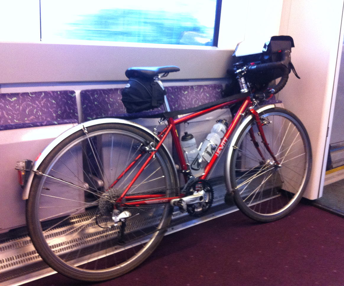
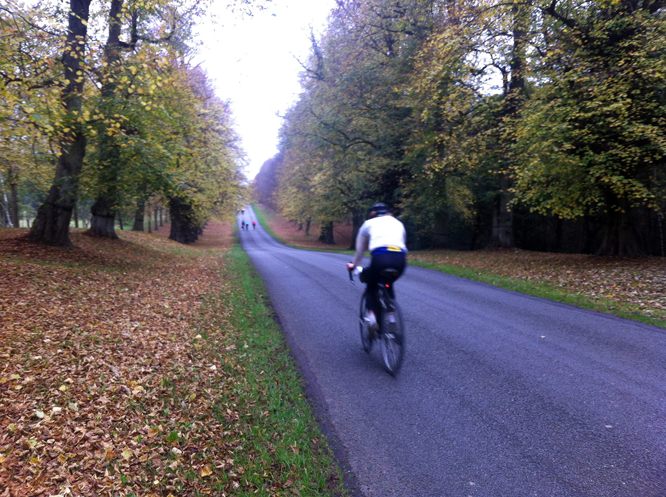
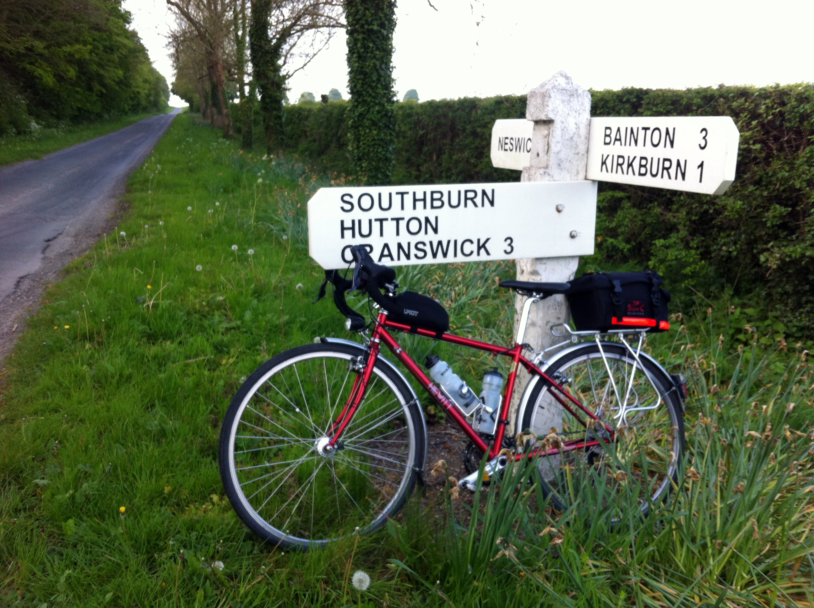
[These two photos have been nicked from Facebook and I can’t remember who took them, sorry. I just like that either I or my tent features]. I had entered a more tame ride (complete with Travelodge before and after) to be my first 300 km; but my plans had been thwarted, as is often the way, by life (in this case in the shape of a brick though my living room window), and so it was that I found myself approaching this ride – which would take us over some 3,500 m of climbing – with some apprehension.
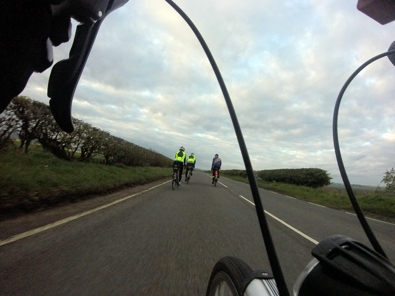
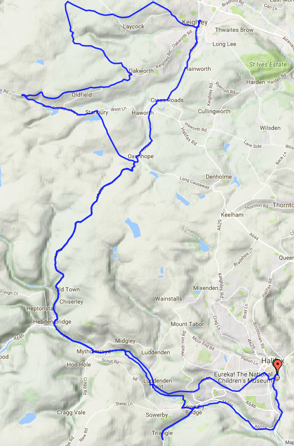
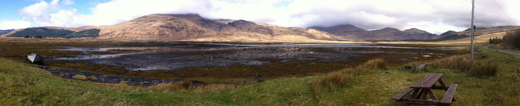
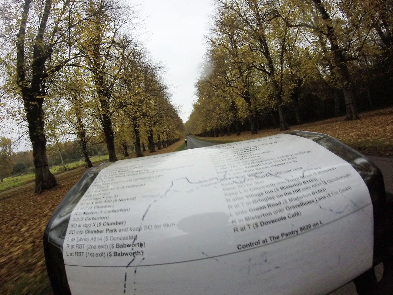
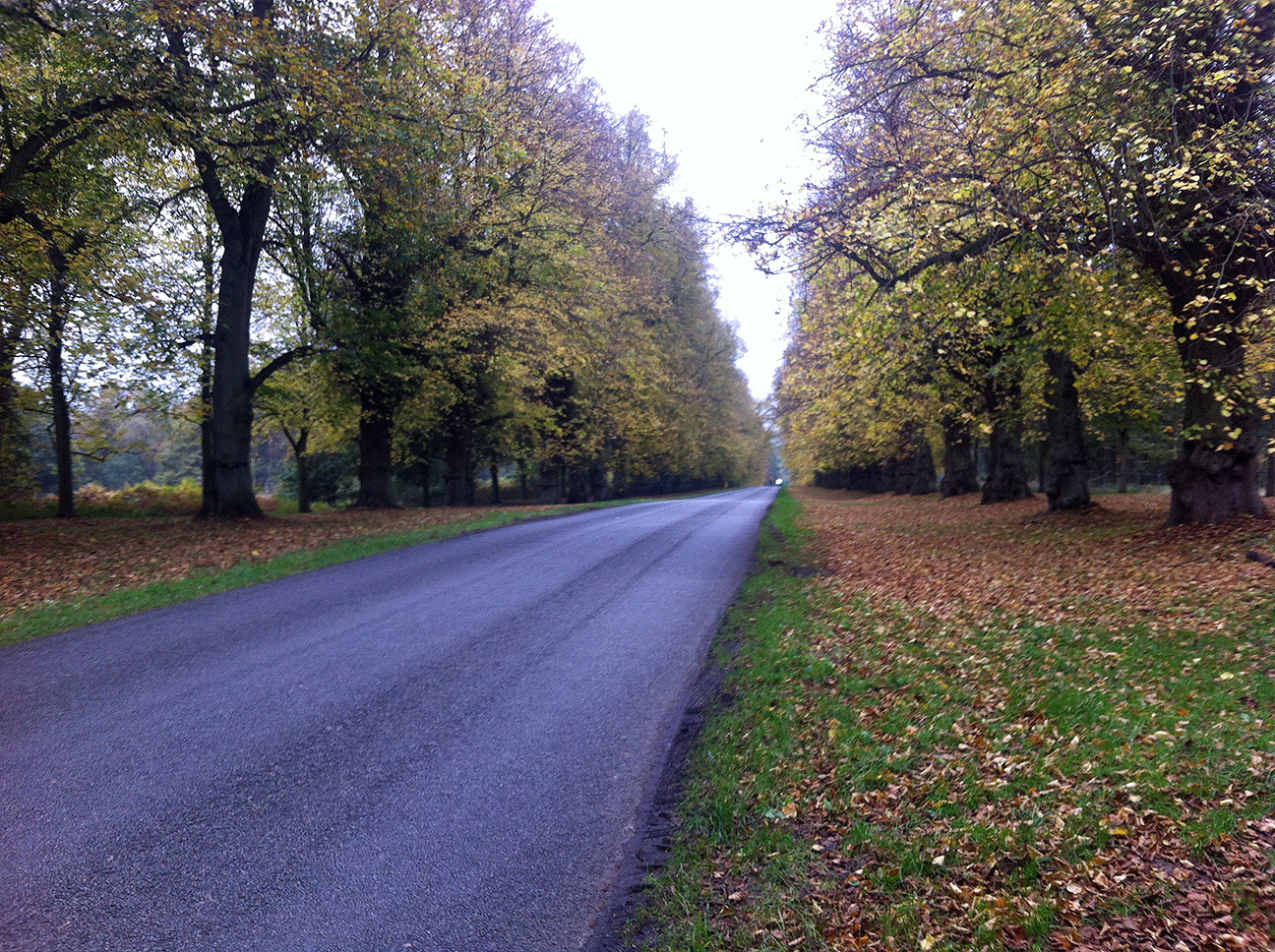
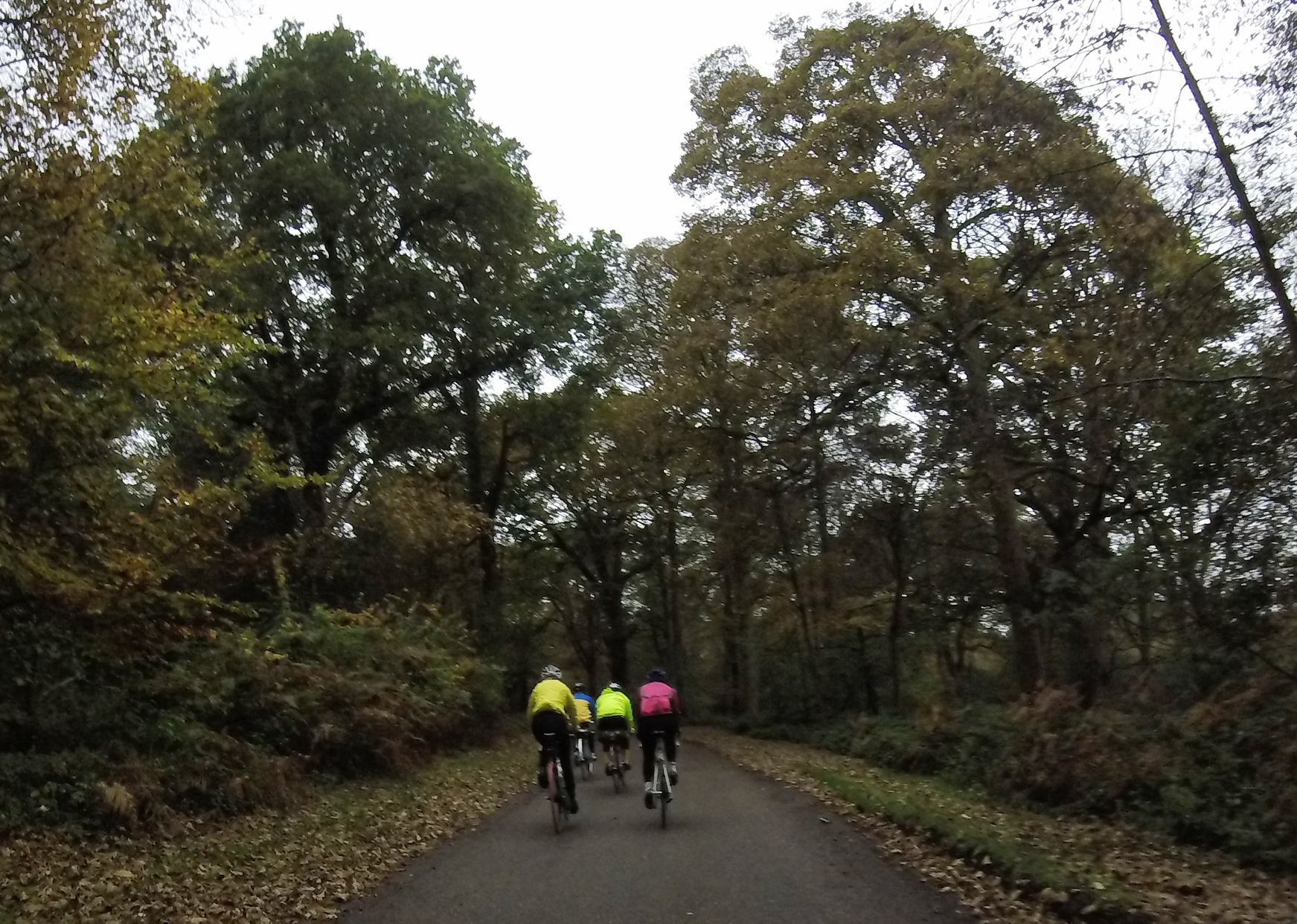
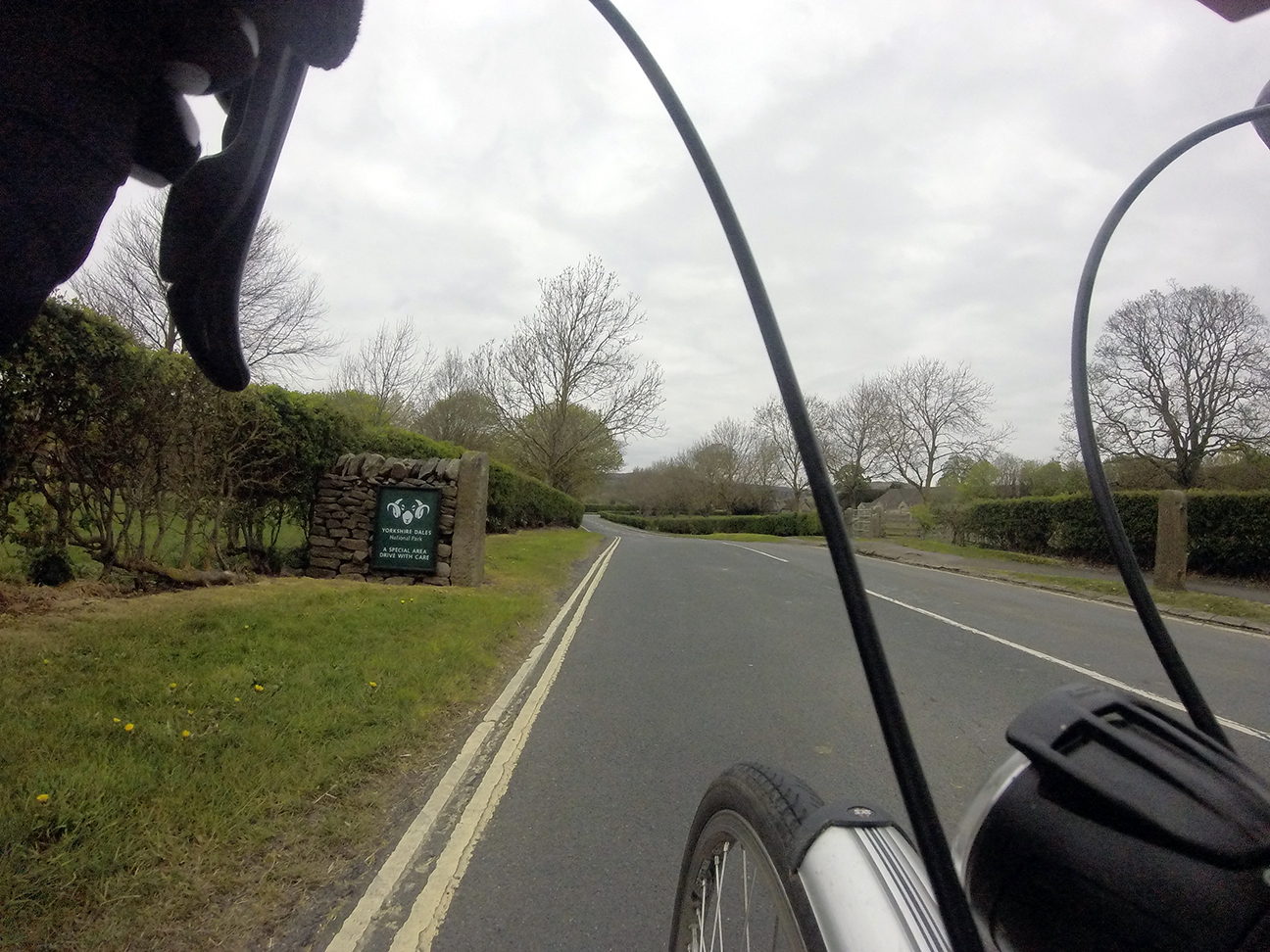
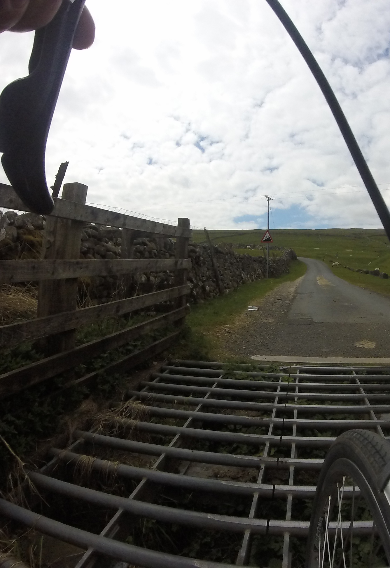
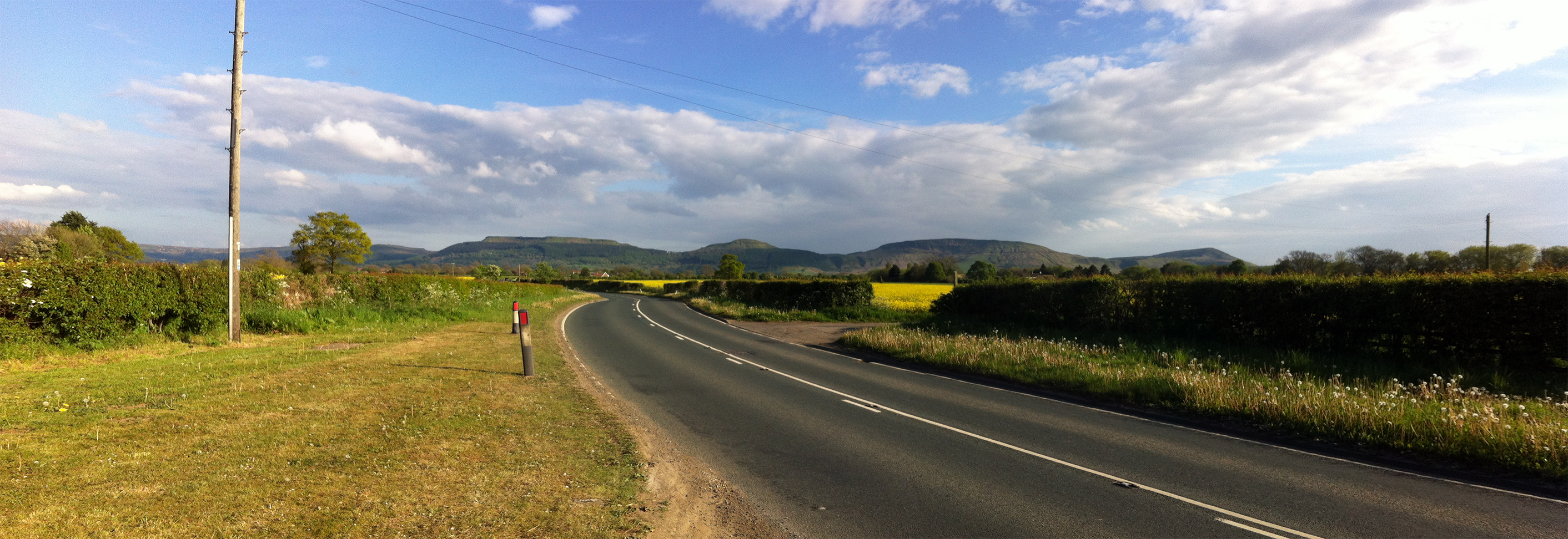
The route was pure genius, with flat sections at the start and finish and many lumps in between, over some of the best roads this part of the country has to offer. First we headed down to Ilkley, which was the nearest point to home for me, but I hadn’t been on these roads before. Next we turned north, passed Bolton Abbey and into the Dales National Park.
The Tour de Yorkshire was coming along some of these roads later in the day and there were lots of flags and painted bikes hanging out, however for some reason we didn’t receive any applause. The route turned up Littondale, and here was a section I recognised from a walk in the area a couple of years ago. I remembered that I’d always wanted to continue up this way, and here I was. A control at the Queen’s Head pub was a nice place to stop, just tea and crisps for me. I believe I missed a harmonica rendition. A few others were here around the same time; Andy and Rob (Rob doing his first 300 km too) and Steve? who’d started at 1 am from home that day on his way to yet another SR in a month.
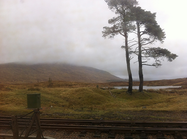
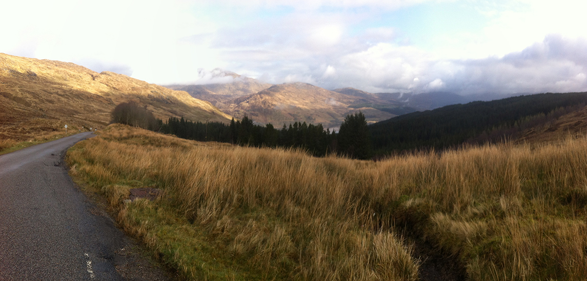
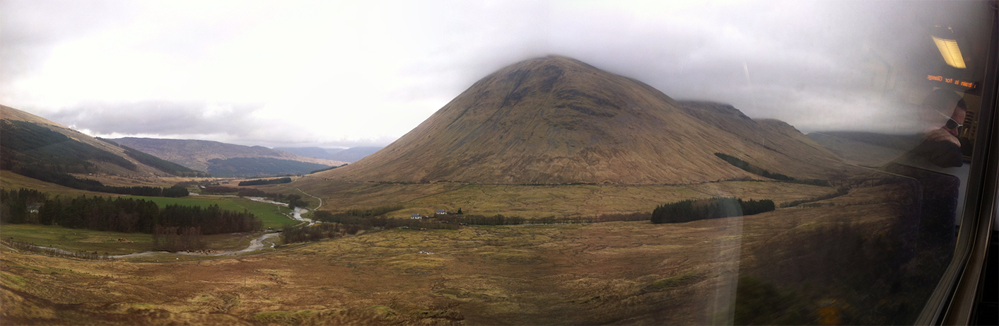
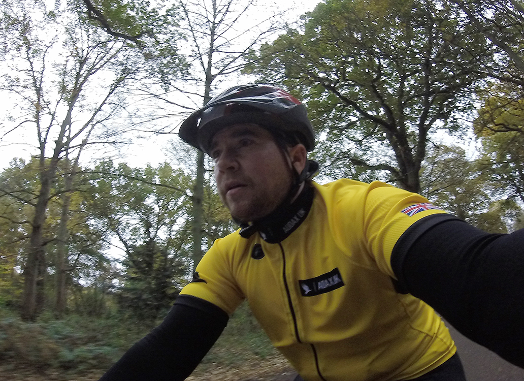
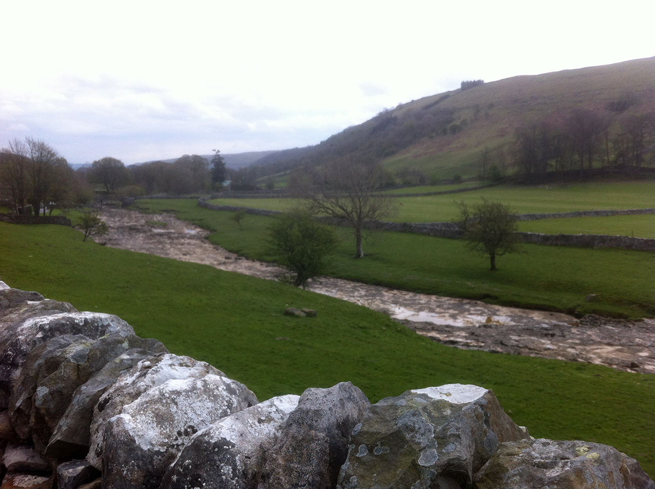
After this it got lumpy. The road up from Littendale over Pen-y-Ghent Gill to Stainforth is beautiful. A tough climb, so I was quite happy to stop for a photo half way up.
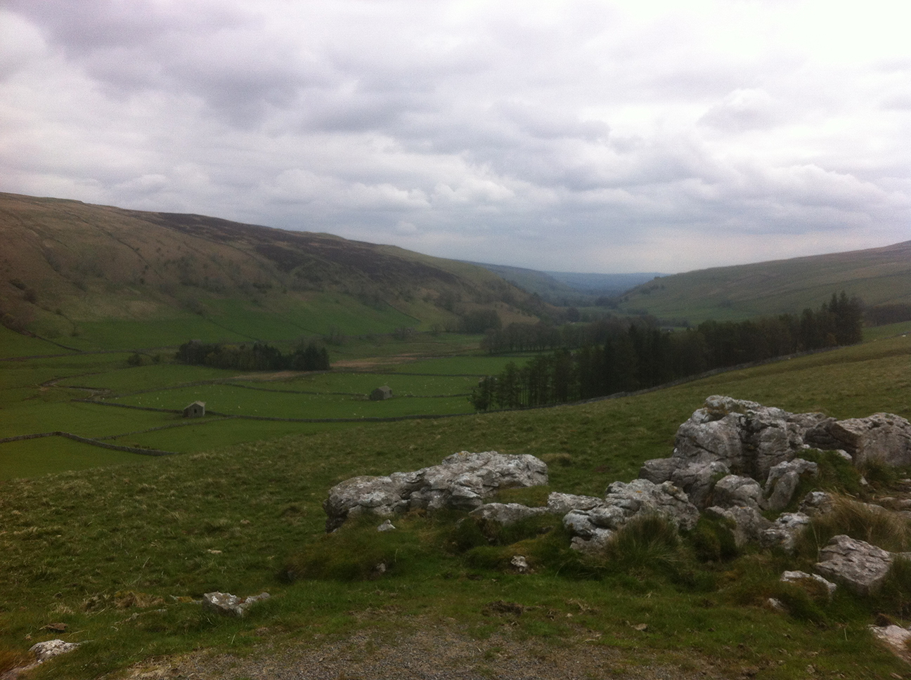
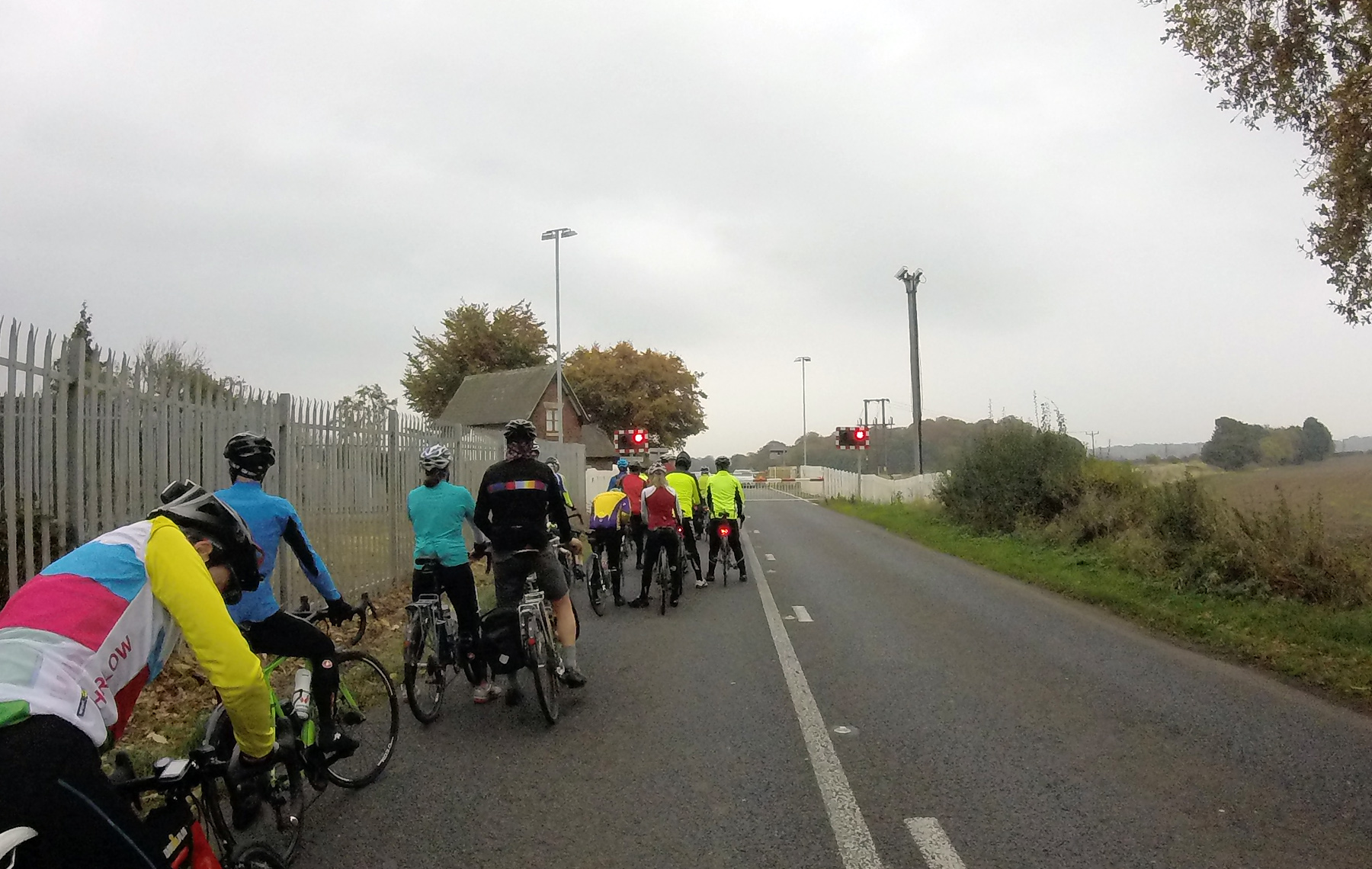
Then a gorgeous ride down to meet the ‘main drag’ towards Horton in Ribblesdale. The majority of the roads on this ride were deserted, so it was a bit of a shock to arrive in Horton which was full of cars and people and tents, there being a big three peaks race on over the weekend. I’ve walked them on separate occasions but have never felt the need to exert myself over such a prolonged time, through darkness, cold, rain, in a limited time…oh.
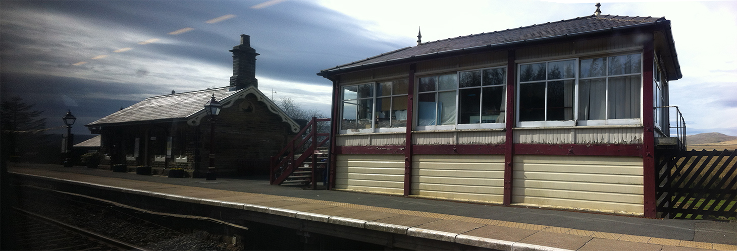
My right knee became painful at this point, and I began what turned out to be a prolonged period of doubting whether I’d finish, and general misery. The route passes close to train stations along the Settle – Carlisle line but after Dent (England’s highest station) bailout option are non-existent. Well maybe you could try hitching a lift at the Tebay truck stop. Such things occupied my mind for quite a long time.
After the bustle of Horton the road quietened down a bit before reaching Ribblehead, again also busy. A burger van was mentioned on the route sheet and provided much motivation at this point; I promised myself a stop here as bribery to continue. The fried egg roll was one of the nicest things I’ve ever eaten, in the way that just what you are craving is when you’ve been riding for hours. I saw a train leave the station heading south…the way home…no, keep going.
Now the road down through Dentdale is no doubt one of the ‘rewarding descents’ promised by Dean. Unfortunately I was at my most miserable here, my knee seemed to get better and I was fine for food, looking back I can’t quite explain it but I felt thoroughly unpleasant. I was conscious that if I was going to pack it had to be now, up the steep (of course) hill to Dent station. This is a beautiful place, but that was failing to make an impression. I thought about having to call Dean to tell him I’d quit, and would crawl sheepishly back tomorrow to reclaim my tent. I thought of how I’d feel instant relief now if I could stop, but that I knew I’d regret it later. My LEL dreams would be realised as a volunteer rather than a rider [thanks to Pete who later provided me with a kick up the arse by way of ‘I want to be stamping your card not having you stamp cards!’ I hope to be stamping in 2021]. I thought about that road along the Howgills on the east side of the M6 – when would I ever get the chance to ride it again?
At no point did my mind shift, I never thought ‘get over yourself and get on with it’; I just kept going and kept hating it.
Eventually I got to Sedburgh. On my previous two visits it was absolutely bucketing down so this was a nice change. As I prematurely took an ‘easy to miss’ turning Andy came out of a cafe and said a few of them were having a bite to eat, but I put my polite hat (helmet?) on and said “Thanks but if I stop now I’ll never get going again”. Really I meant “don’t speak to me I hate you all why I am doing this”? On finding the right road I followed Howgill Lane which, as the name suggests, is not an easy freewheel. At some point, and I’m not sure where, it stops becoming a green climb and turns into a moorland descent, full of sheep and grass in the middle of the road. About now and despite my best efforts I started to enjoy myself. I’d ridden up to JoG a few years previously and the route had taken me north up the other side of the M6. I’d loved it then, it’s a magical enough passage when driving or in the train, and being there by bike makes it even more ‘earned’. And now I was at the more remote side, dodging sheep.
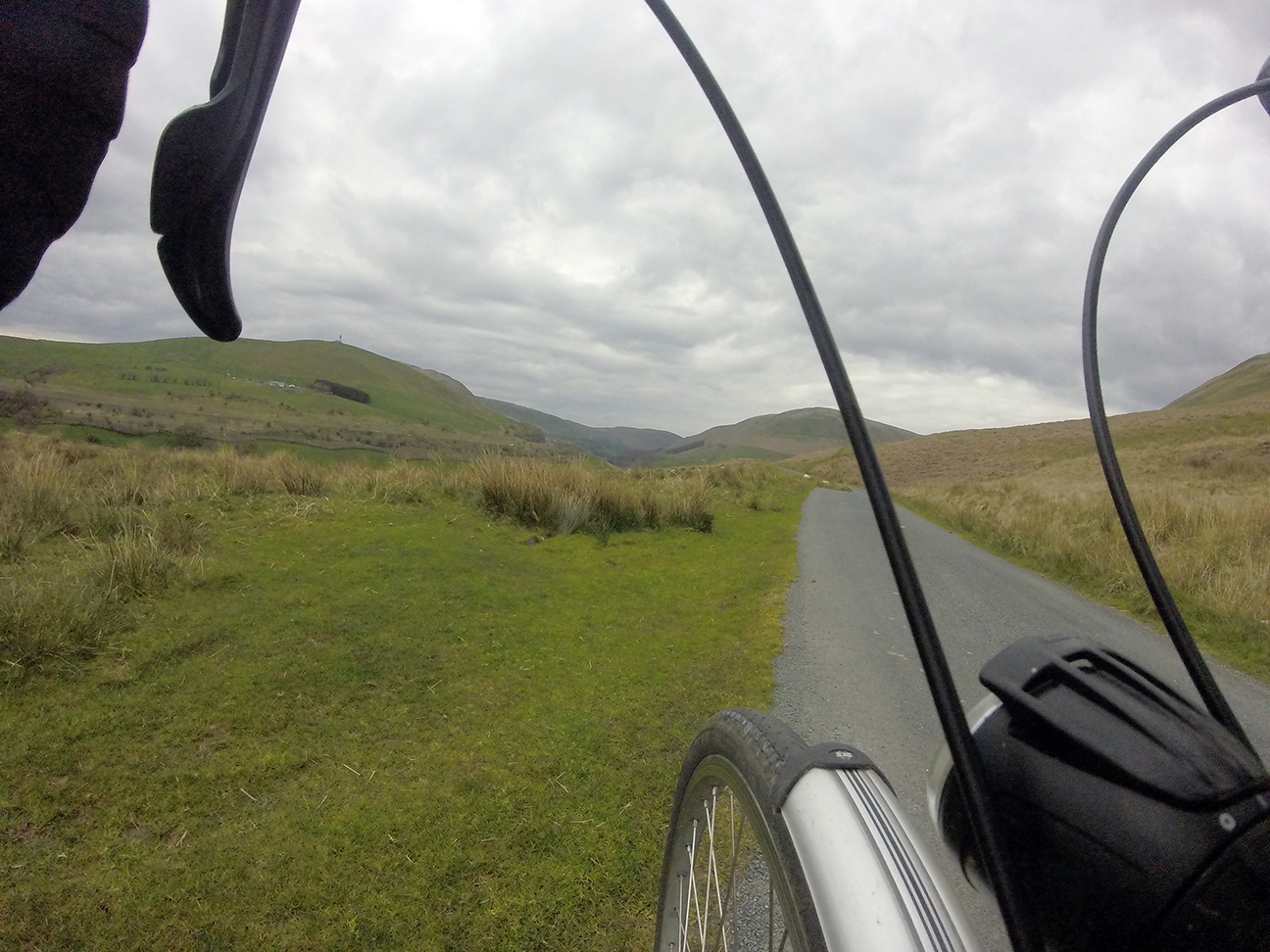

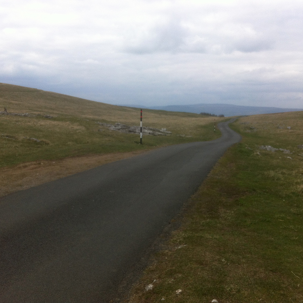
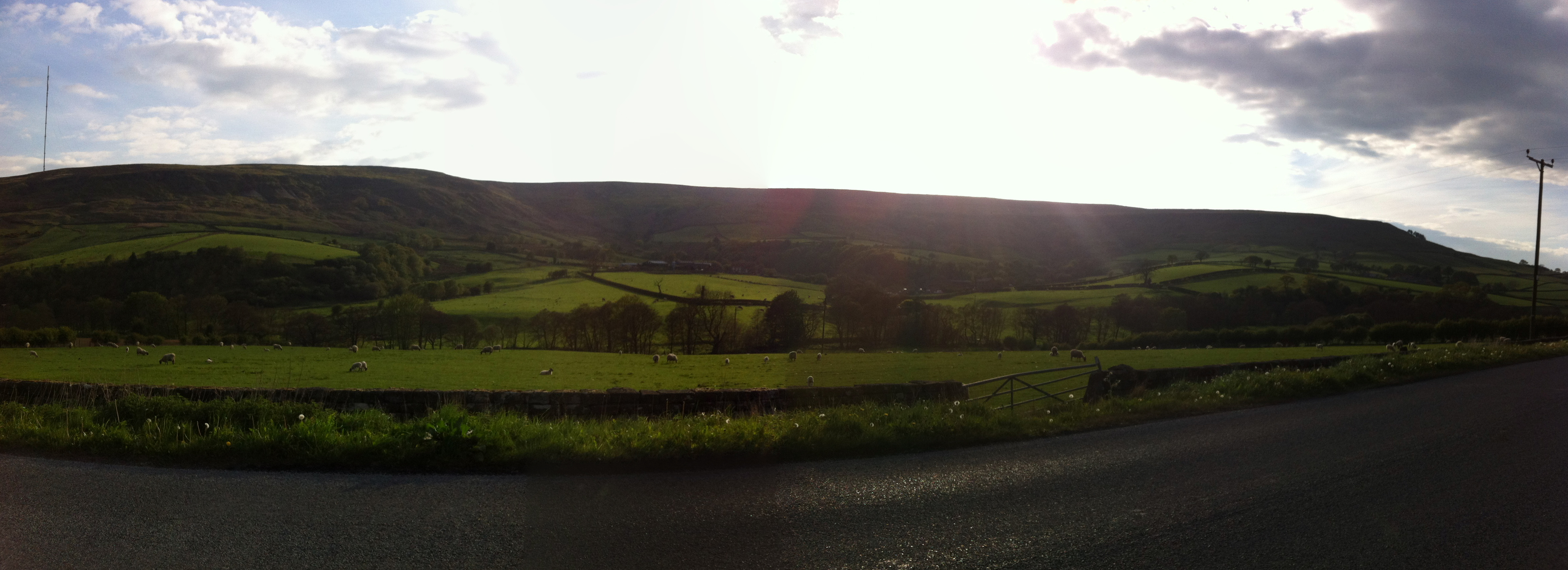
On arrival in Tebay truck services I was happy to see a few now-familiar faces. The cafe had recently closed but the shop was still open and the woman on the till was full of enthusiasm about our next roads, being a regular rider of them. This next section, from Tebay to Brough, was one if my favourites. Maybe I’d realised that although I might not ‘finish’ (be back at HQ in time) I wasn’t going to pack (really there aren’t any options) and so I relaxed a bit. I love riding over moors like this; very few (almost zero) cars, just snow poles and the unfenced road.
I reached Middleton-in-Teesdale still without full confidence and seeing the prospect of ‘hotel’ on a road sign I was again considering the options for stopping. Happily I followed the others in front and visited the Co-op, which offered no such distractions. Dean had asked that we report in at this point to give his crew in Staindrop an idea of their schedule. And the arrival there was wonderful! Cowbells, tea, and flapjacks. At this point with about 50 km to go, I must have realised I’d make it. I also knew there were at least a couple of riders behind me and some not too far in front, so I didn’t feel too out of it.
As I said the beauty (ok one of then) of this route is the flat start and finish. I was feeling pretty good, knowing I was on target to actually complete the ride. In the last few km I had a route sheet confusion and ended up on a dark road, somewhere near HQ. Reluctantly (as I don’t like to rely on it) I consulted the map on my phone and figured out how to get to the arrivée. The map is all well and good but the compass function is not to be trusted and as it turns out I was about to head off 180° in the wrong direction. Fortunately the local constabulary passed at this point and stopped to check I was ok. Since there is a police centre at Newby Wiske they were able to point me in the right direction. Eventually I rolled in as lanterne rougue, to the confusion of Rebecca and Co who I’d been ahead of at the last control. I’ve never finished a ride to a round of applause before! As lots of people were staying over there was a certain amount of beer consumption already in hand, and I was lucky enough that a can of Green King had remained intact. After enjoying that and a bit of a chat with the assembled company I retired to my tent and left them to several more hours of revelry. The next day (Sunday) morning was bright and sunny, and a spontaneous breakfast was cooked up by Mike. I felt not-too-bad, and rode the few miles back to Northallerton station for the train home to Leeds. The next day was a bank holiday and very fortunate too, by then the ride had caught up with me and I slept through the whole morning.
Two weeks later, having recovered both physically and mentally, I found myself in the surreal situation of lying in a village hall on a Friday night before the Wiggy 300 km with three other snorers riders, trying to sleep while bathed in the eternal dawn from an emergency exit light. My accommodation of Thermarest and sleeping bag seemed fairly luxurious compared to Raj next to me (a blanket) and a chap who’d retired to another room and was sleeping on whatever soft material he’d put his bike on in his car. Andy and Rob from Beyond the Dales were also staying over, and a couple in a camper van in the car park. I had my ear plugs but didn’t sleep particularly well, no doubt being conscious that we would be up at 4 am kept my brain active. All good LEL practice I told myself. It’s great being able to stay over before a ride, I don’t have a car so would have to find a B&B otherwise. Someone’s alarm went off but I’d already woken and got up, and was busying myself ejecting a slug which was attempting to take up residence in my panniers.
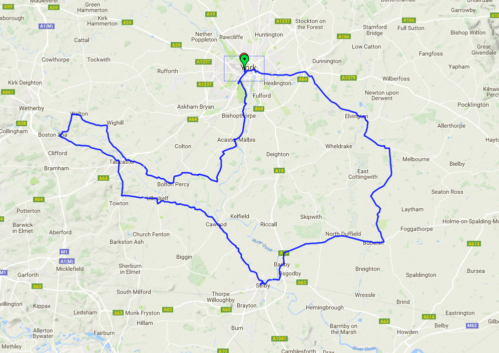
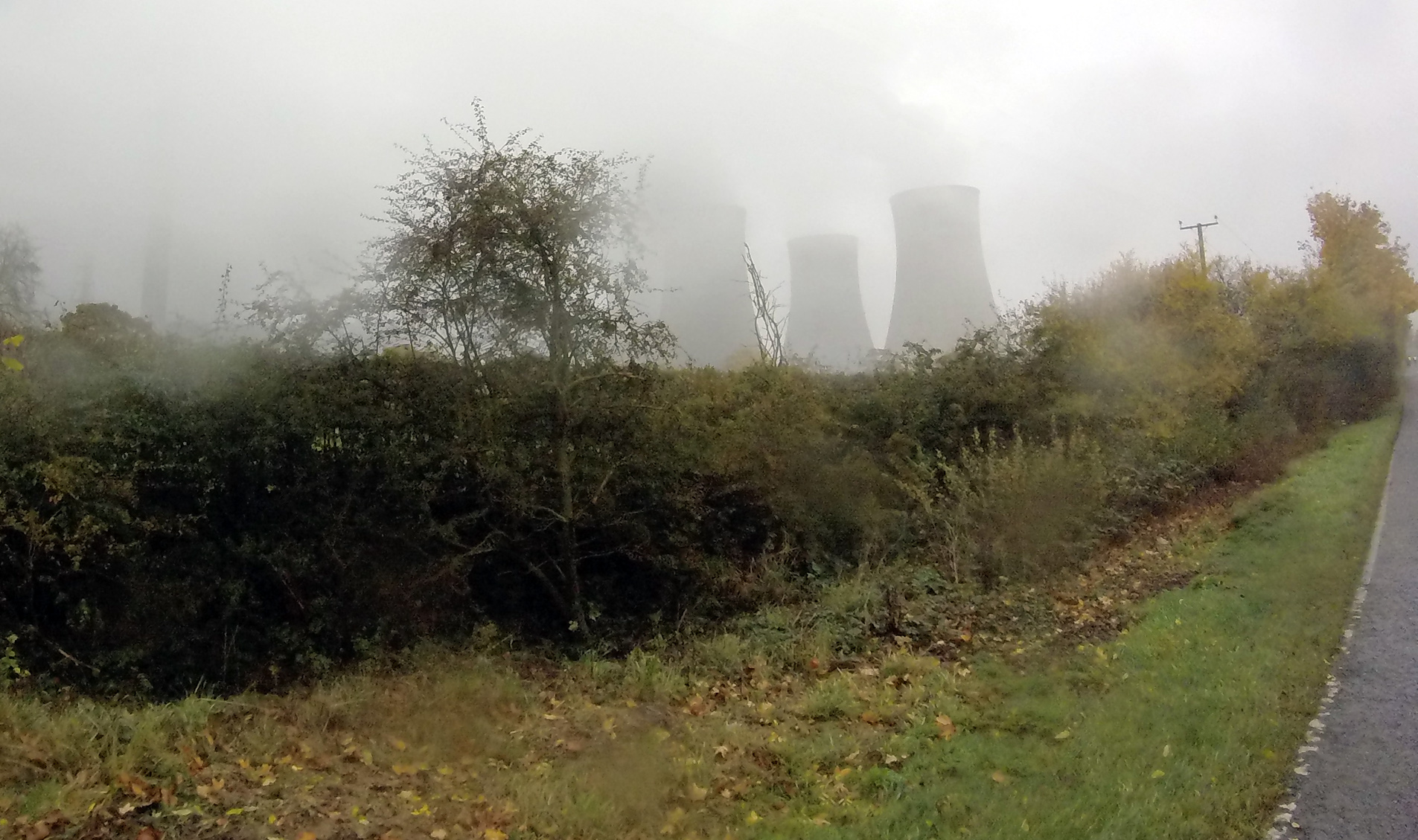
It was gloomy but dry as we left, and within the first half hour the sun broke free of the horizon, briefly visible as a huge red orb before being partially hidden by clouds. This route was quite unlike Beyond the Dales, being fairly flat in the main but with a final hilly section of 66 km. The routes shared a short section near Boroughbridge but otherwise explored very different landscapes. The first control was in a cafe in Malton, approaching which and passing Morrisons I realised I’d stopped here before…maybe on the one previous ride I’ve done from Wigginton. The cafe was a lot nicer than the supermarket, and I was happy to discover that I really can do 100 km before breakfast, powered only by a strong Brownian motion producer.
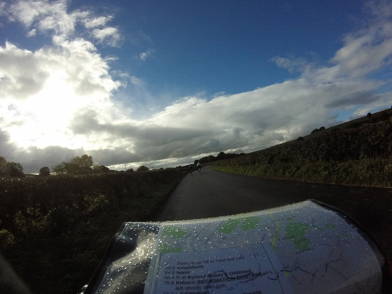
Raj joined me and we discussed our onward travel plans, he found that his last train home was going to be relatively early and so pushed on as quickly as possible; my last one back to Leeds was after 11 pm which at an average riding speed of 20 kph should have been fine, but if not I’d ‘only’ have to wait 3 hours in York for the next service, which wouldn’t be the end of the world, so I was trying not to feel any time pressure. The next section was due west to Ripon, a place I remember from touring the Way of the Roses because I ended up riding round the centre in circles attempting to follow the NCN signs (a classic, where signs for the route point both left and right with no indication of which is the east and which the west direction).
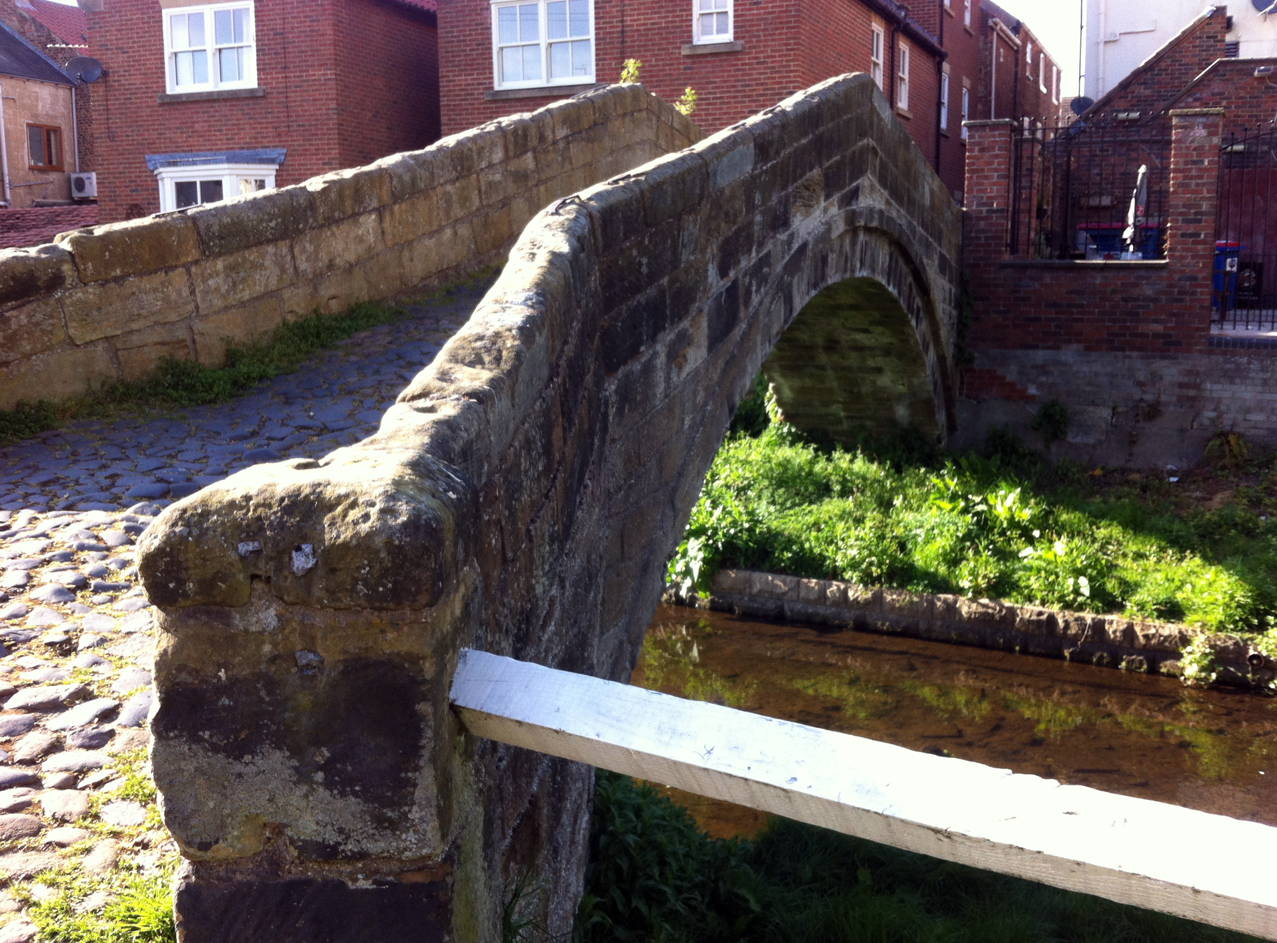
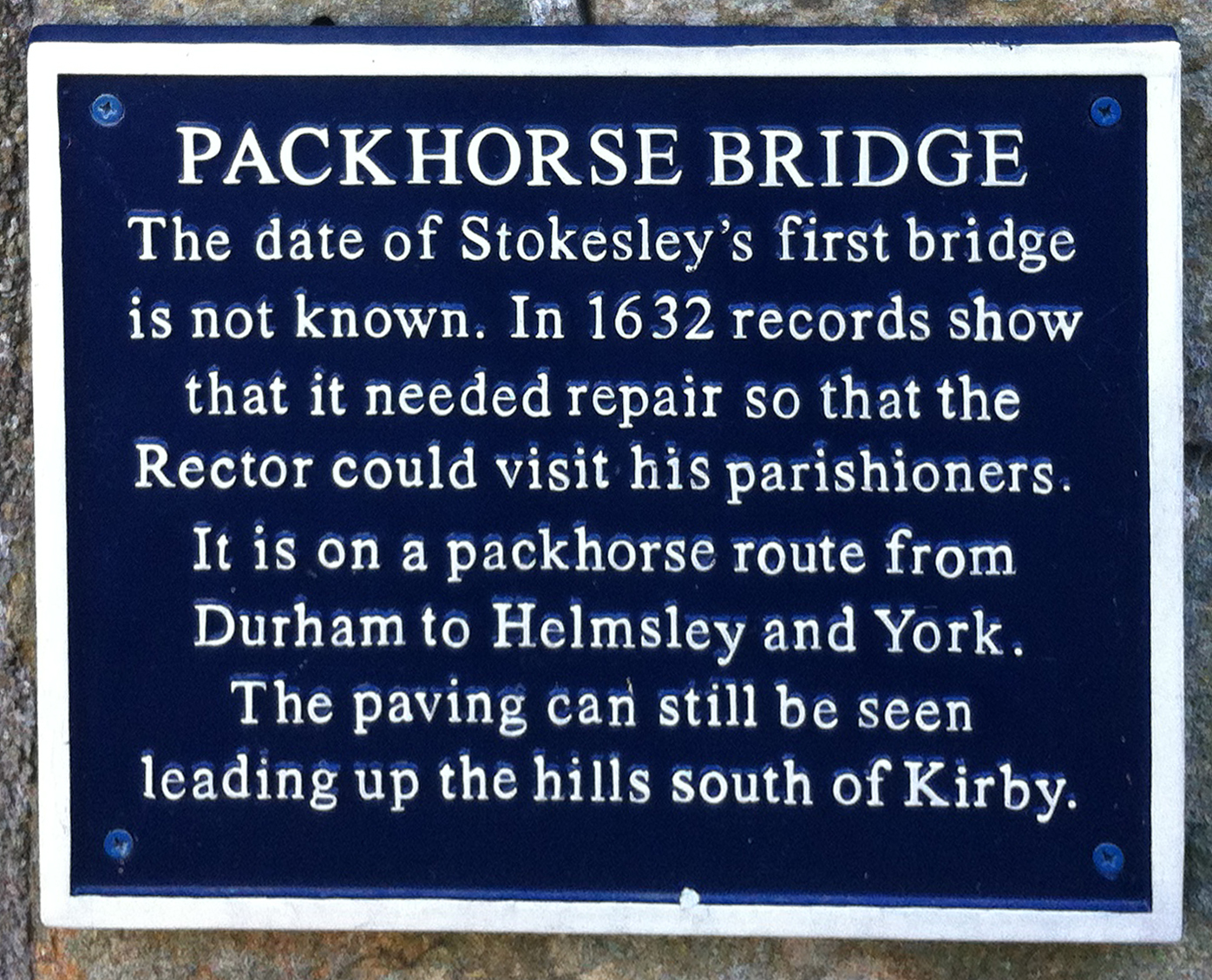
After the first long stage the route was nicely divided into ~50 km sections which I found ideal. The next control was a cafe in the park which was shared with riders on the Wiggy 100 km. Raj and I left and rode together for the next section, north to Richmond. Here we tackled the climb up to the historic market town; a pilgrimage to Greggs where I explained to the person serving why she’d had a large number of requests for receipts. Here I chatted to another rider (Ossian as I now know) who was also preparing for LEL, this was only his third audax so I think he’s on track! We discovered we’d both registered for a 400 km from Mytholmroyd a fortnight later, a first for us both at that distance. Raj and I set off for Stokesley, the last control and the beginning of the scenic section. We chatted about our riding experience; Raj is from a costal part of India where he said you can do a 600 km without encountering any hills, but that meant a lot of experience of riding into the wind! He’s also worked and ridden in a variety of places including Canada and Singapore, so when I asked what he thought of British drivers he was very impressed with the consideration and respect experienced – which certainly puts things into perspective. On arrival in Stokesley around 5.40 pm we dropped into the control cafe but the proprietor said he could no longer offer us any food, as it was a Saturday evening and he was booked up, having expected us all earlier. He was however happy to sign our cards and fill water bottles, which was excellent and I explained that we were the slower end of the field. Raj set off as soon as he’d had his bottle filled, but I was happy (and needed) to take a longer break. There was a Co-op for sustenance and as it was now turning into quite a nice evening I had a wander around the town centre while eating.
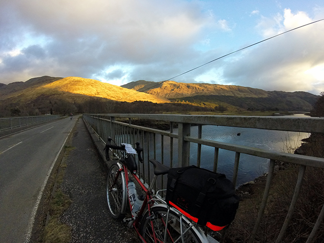
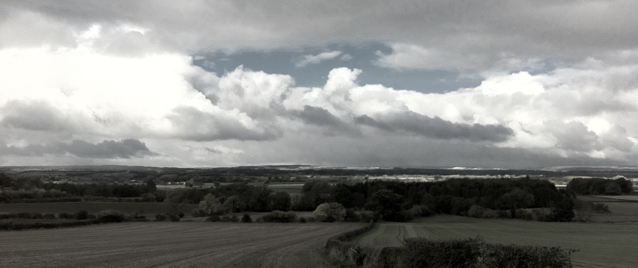
Now the hills of the North York Moors that so far had been gradually approaching as grey silhouettes became real, with colours and shapes highlighted by the evening sunlight.
I hadn’t been around this area before, which may have been a good thing; I’ve found tackling hills in ignorance is often best! A few km after Stokesley we had a relatively steep drag, before an eye-streaming descent towards Chop Gate. The chap I’d spoken to in Richmond had left Stokesley just before me and mostly he was in sight, we were going about the same speed so it was nice to have company in that distant sort of way; experiencing the same roads but independent in our own little bubbles. It was now a cracking evening and for all looking at the elevation profile this was the section to dread it’s also (imho) the most beautiful and it was certainly my favourite.
On the next hard climb we caught up with Raj, and although I felt bad passing him I also needed to go at my own pace [edit: on LEL, which he finished and I didn’t, he commented that he’d learned to ride up hills since we first met on this ride]. Eventually arriving in Helmsley I recognised the centre having stayed in the youth hostel here a couple of years ago. A number of VC167 jerseys and their occupiers were taking a break in the town square. This leg was 66km and I thought I might need to take a break at some point, and my Greggs chocolate cookie was waiting in my rack bag if needed, but I pushed on. It got colder but I was just warm enough and reluctant to stop. As with every ride I found the last bit hard and felt like I was slowing, I don’t know if that’s real but it always drags. Beardy chap and two VC167 riders caught me up in the last 10 km and I managed to hang on to the back as they pushed fast for the Arrivée. I know I could never have put in that effort if I’d been riding alone. The two VCs (Denise and Les?) even put in a sprint finish. I was happy to be back, ahead of my guesstimate schedule of 10.30 pm, at about 9.15 pm, plenty of time to enjoy the copious tea and several species of cake on offer.
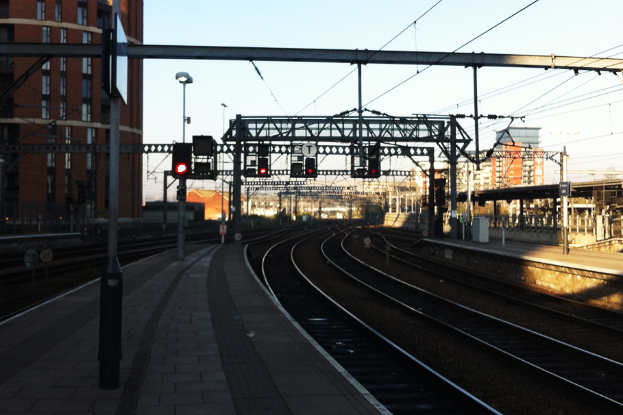
I thought I’d have plenty of time to get a train home but when I got to the centre of York (now full of Saturday night merrymakers) both road and pedestrian signs were useless; for a place with such famous rail heritage it would be nice if the train station was a bit easier to find. In the end I had to consult both a kebab seller and the map on my phone, and got to the station in time for the last couple of trains. The passengers consisted of a lot of drunk people; and me, dead to the world. Some very loud blokes got on half way home, I could hear them between bouts of sleep and was vaguely aware that they were being pests but it was only when we arrived in Leeds that I realised they had entertained themselves by removing my bike from the storage space and bouncing up and down on it. I ended up with a lift home from the train driver (who cycles with a Wakefield club, what a star), and straightened my bike up the next week.
Two very different 300 km rides exploring Dales, Moors, Wolds and Hills. Yorkshire has a bit of everything (plus coast, to be experienced in my next ride…). I found the second ride more ‘achievable’ than the first (never say easy, it’s an audax); it was certainly flatter but I think a lot of this is psychological – I’d done a 300 km before so I could do one again. The first time, it was a new distance with all the uncertainty that goes with it. The second, perhaps I let myself relax and enjoy it a bit more as there was less pressure. Many thanks to Dean and Co for truly making an ‘event’ and not just a bike ride for my first 300 km, for me it really felt like an achievement and the atmosphere was wonderful. And to Keith and Ann – who provided constant tea and cake despite sporting a sling from a recent off – for a splendid tour over some lovely wrinkles and then through the Vale of York, before a sunny evening through the Moors.
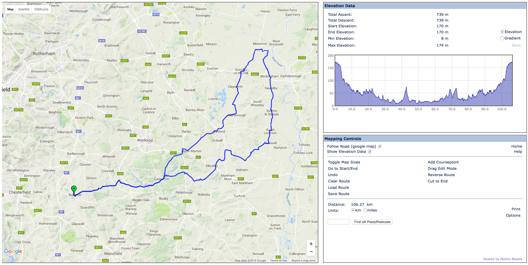
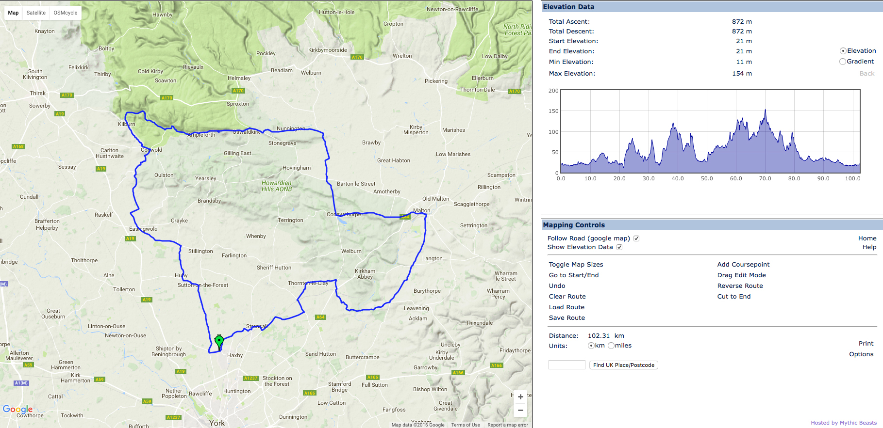
Beyond the Dales: 300 km, 18 hrs 20
Wigginton: 300 km, 16 hrs 30