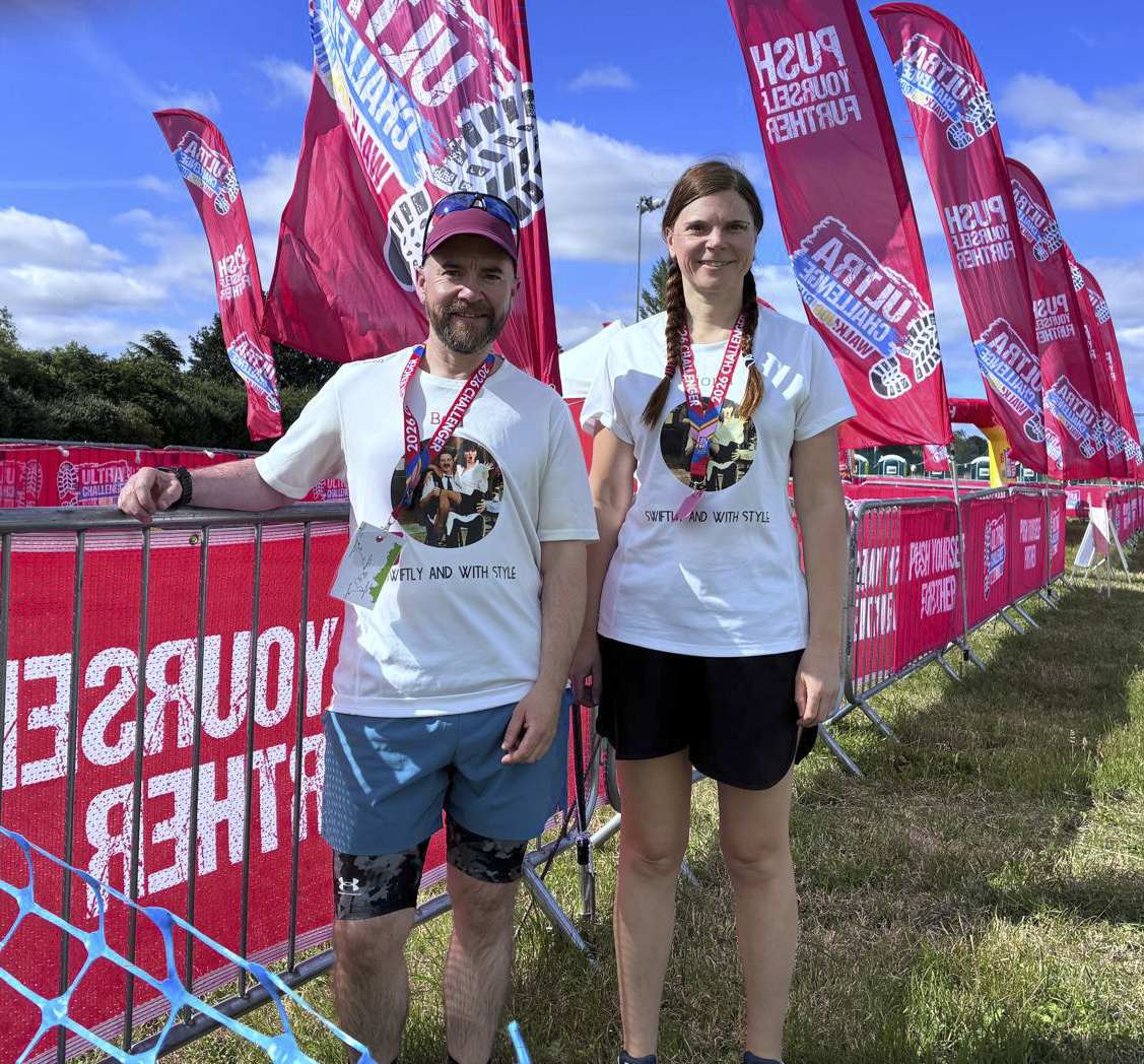
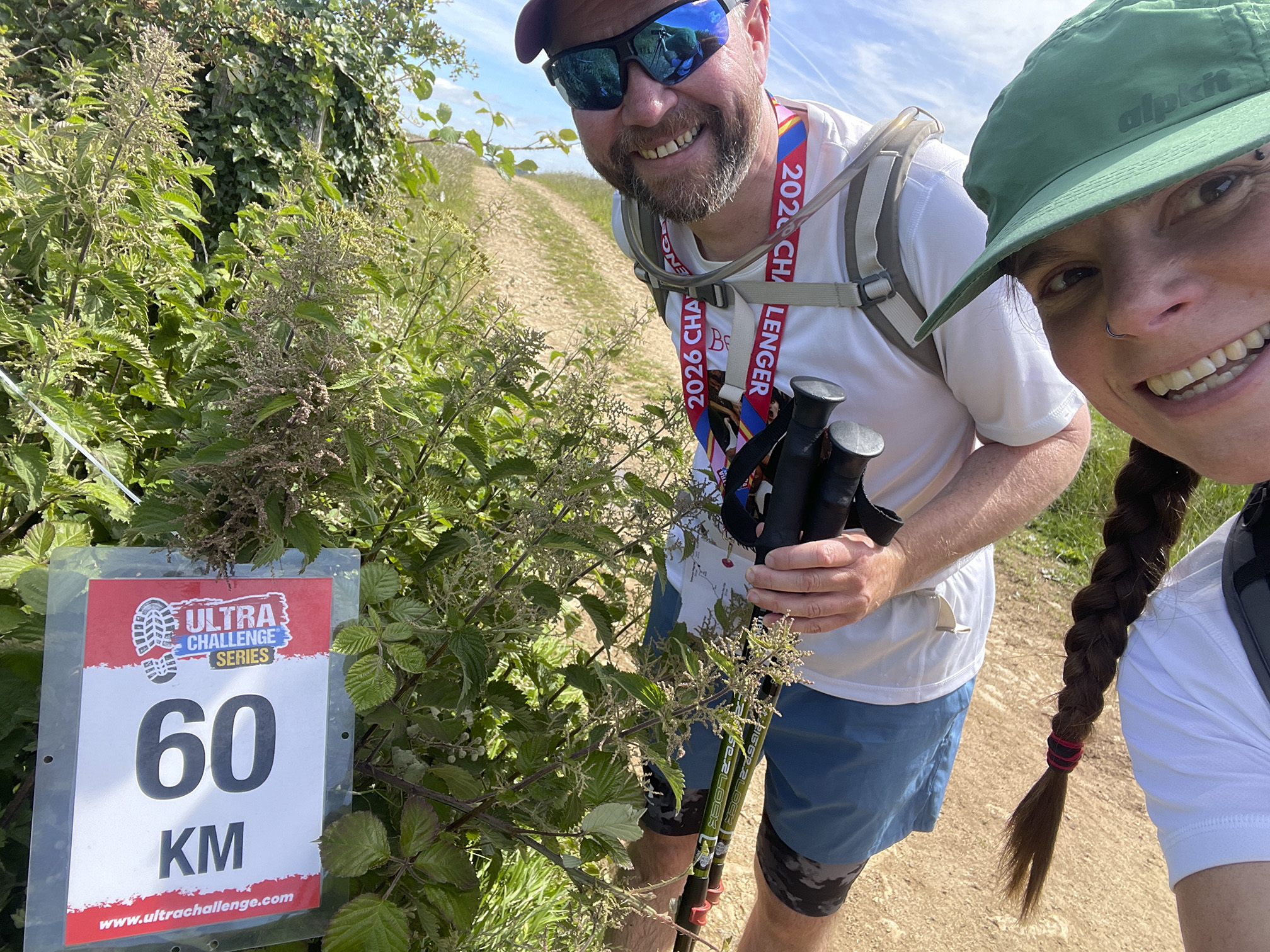
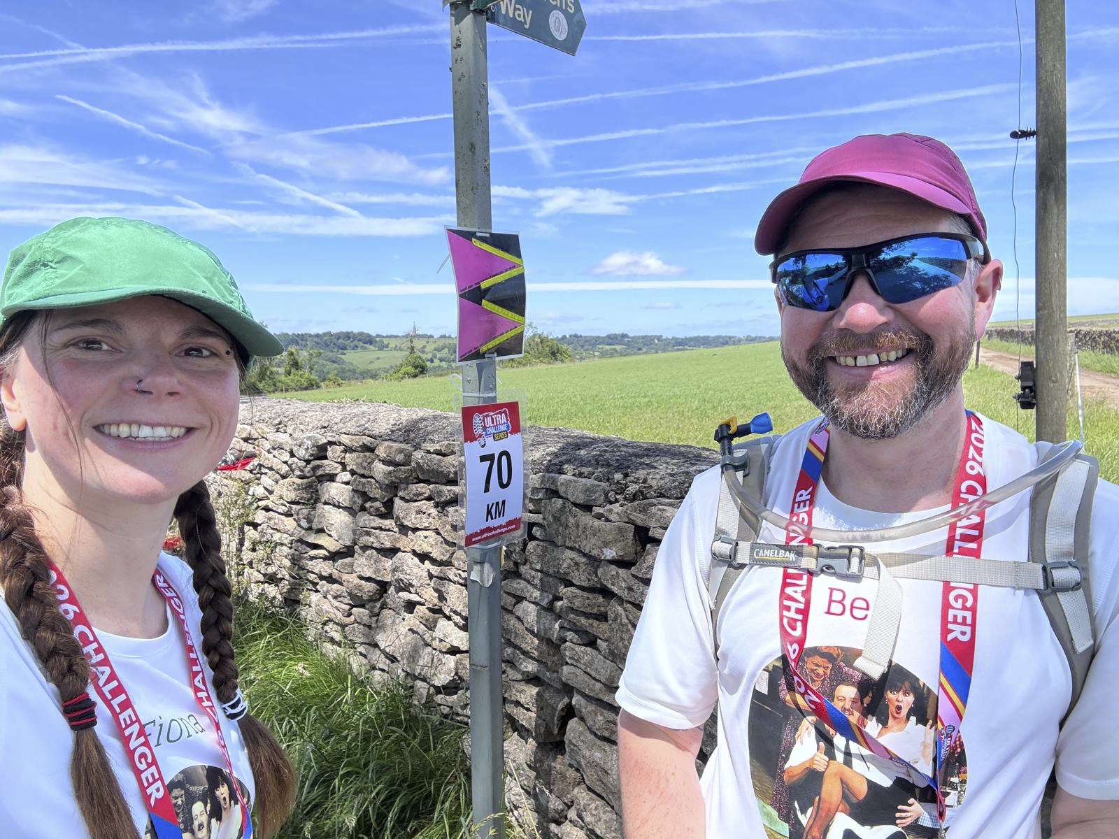
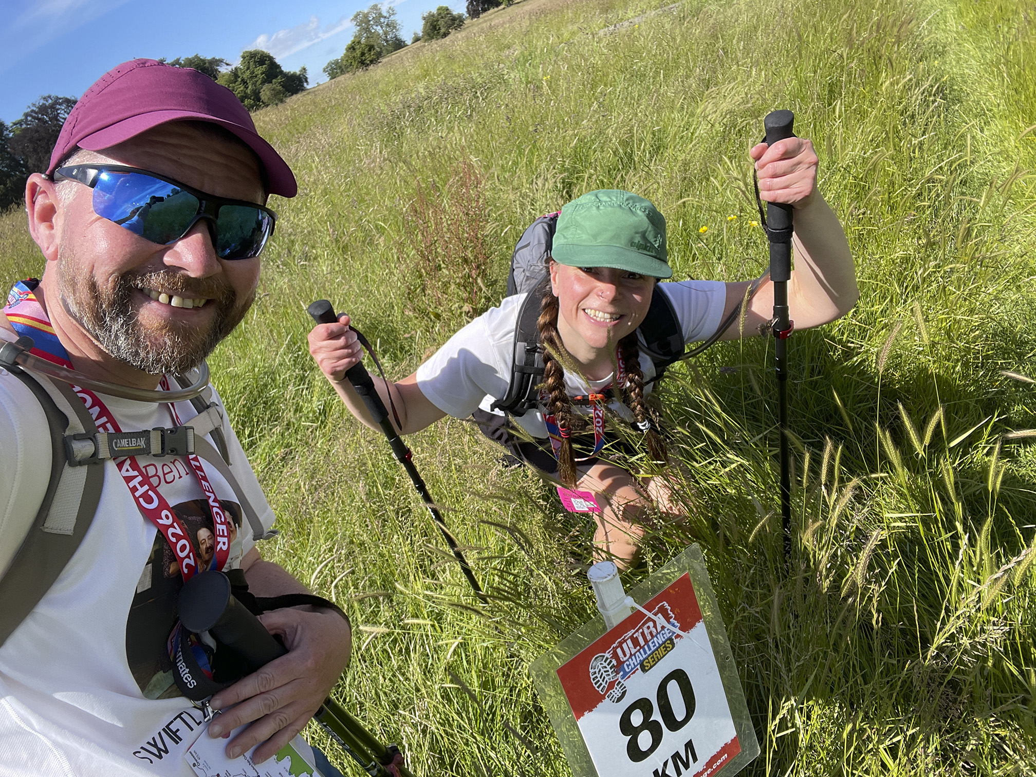
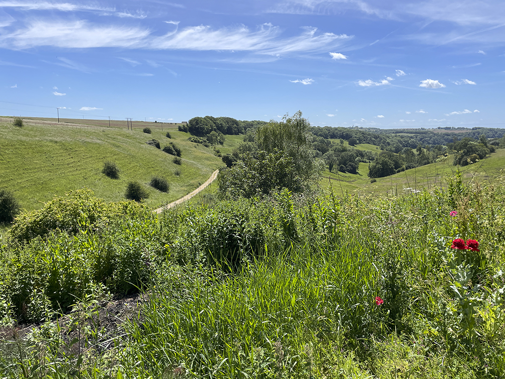
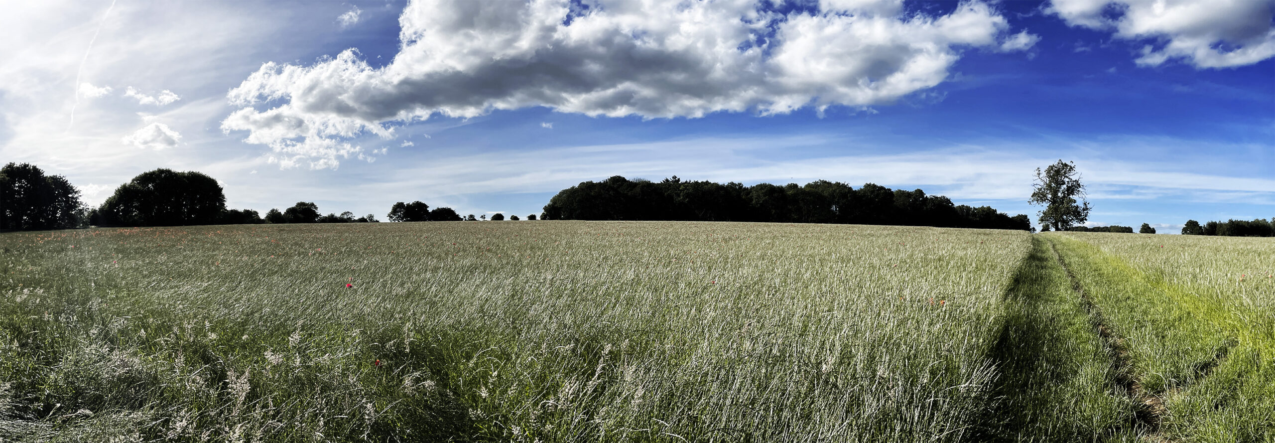
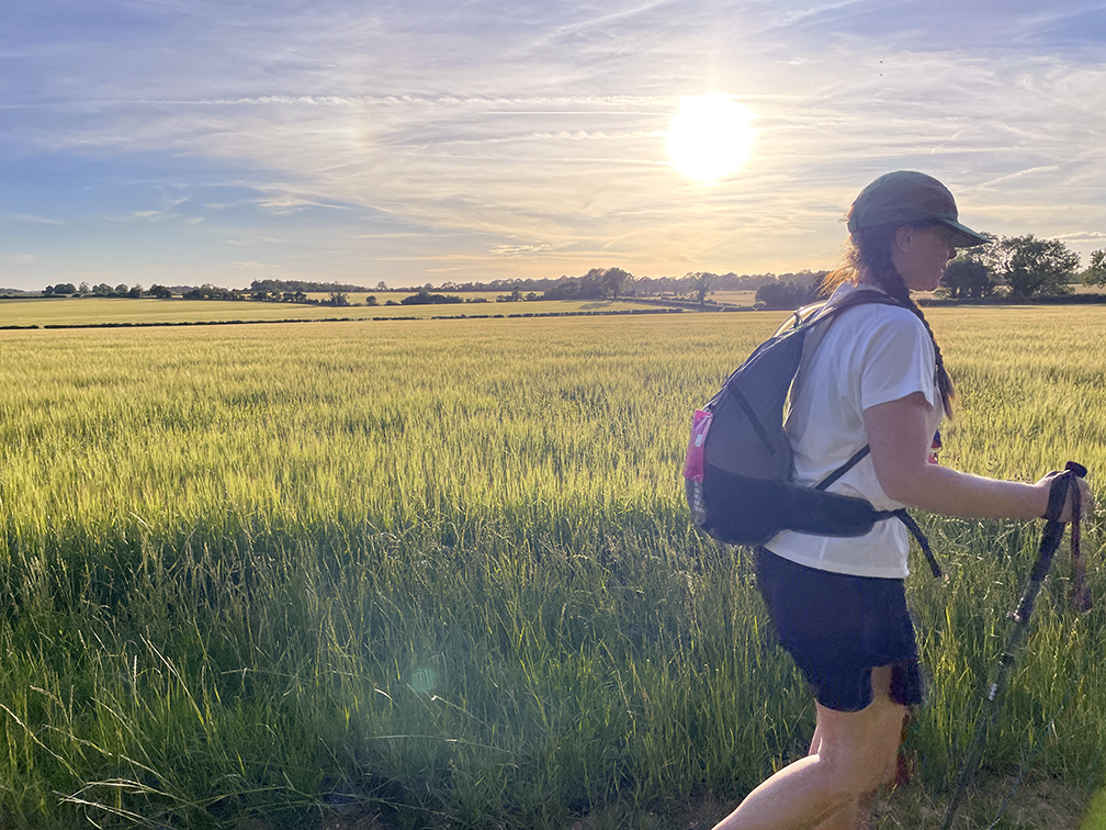
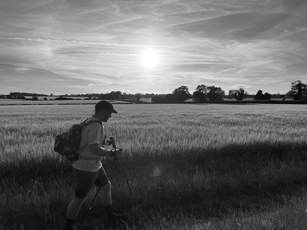
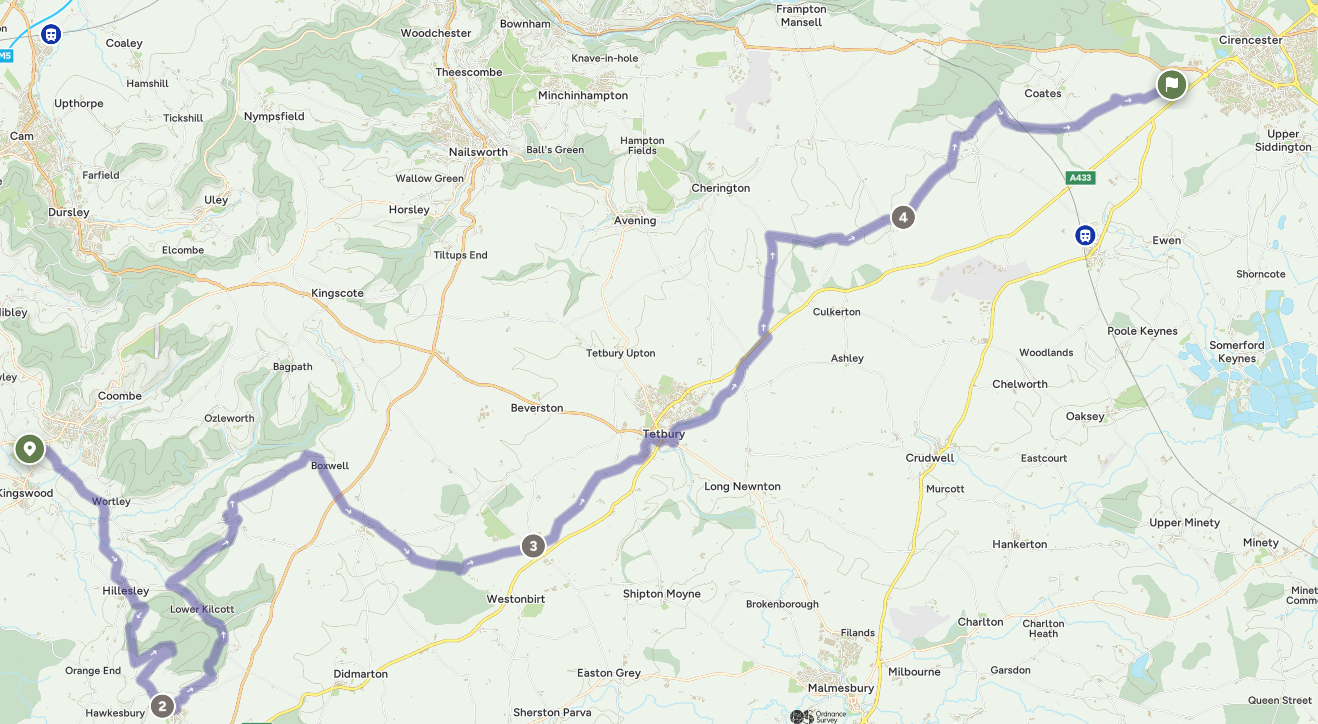
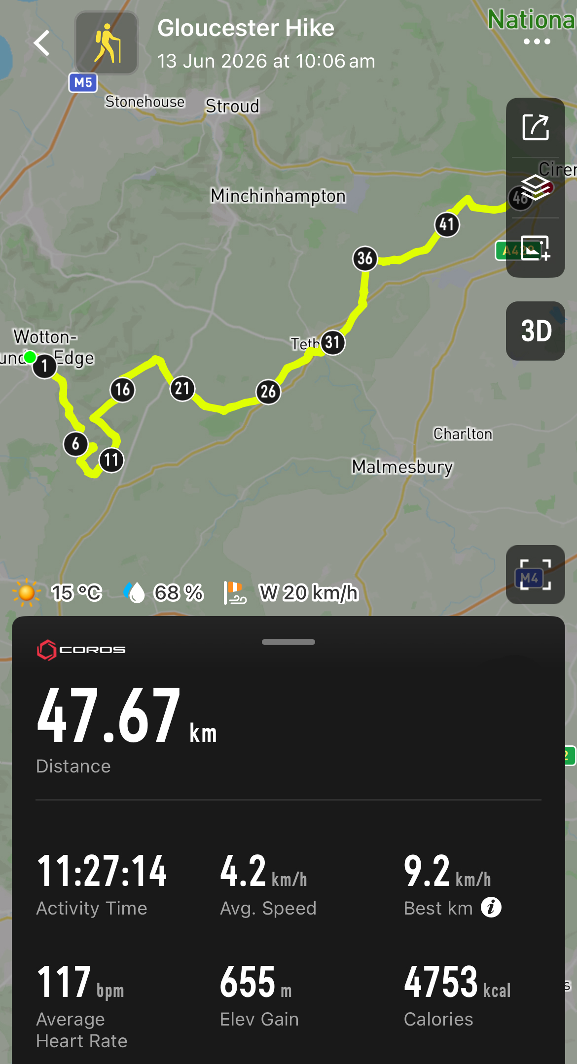
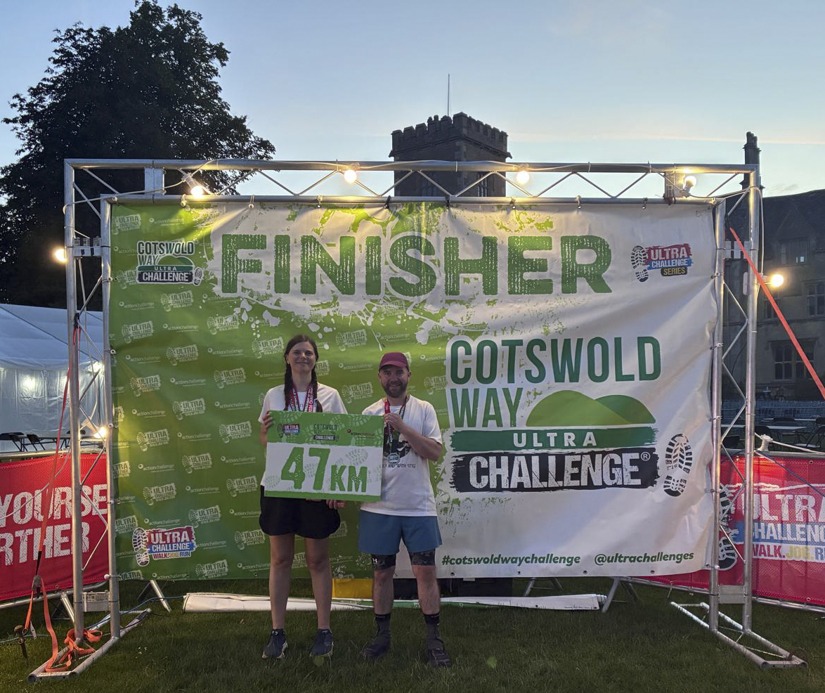
After retiring half way last year, we went back to finish the Cotswold Way 100 km. Quite a different experience; NOT a heatwave (which was an achievement this year), and a lot less climbing. The start was a different atmosphere, as a relatively small number of people were doing this half starting on Saturday, so mercifully there was no over-enthusiastic warm-up person.
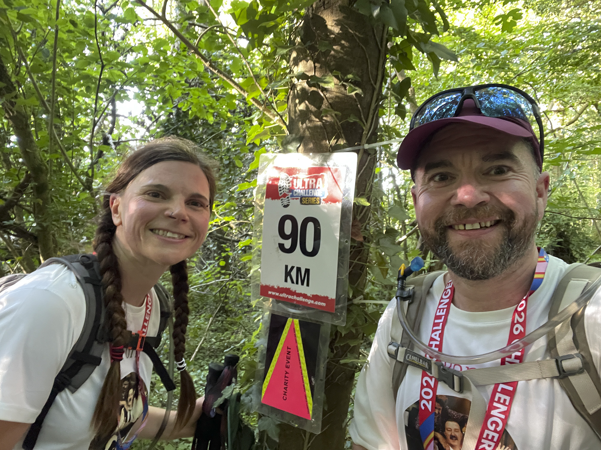
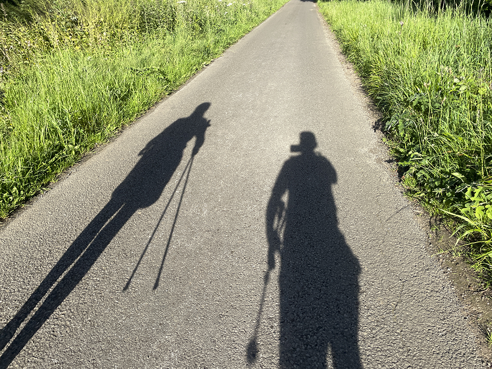
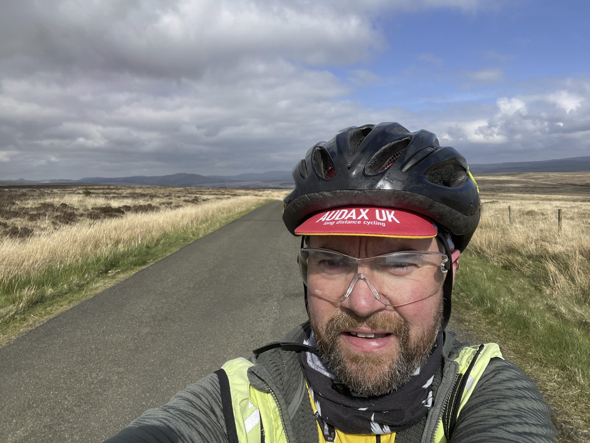
We continued collecting photos at the 10 km markers, although they become slightly confusing when you have started at 53 km. Also my selfie skills are awful, and Fiona had to take charge.
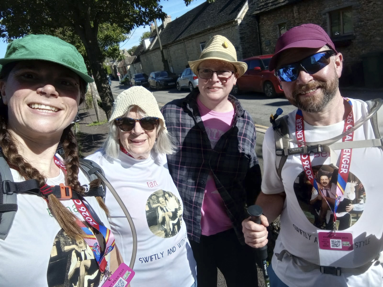
We met up with our supporters in Tetbury, and were supplied with Percy Pigs…
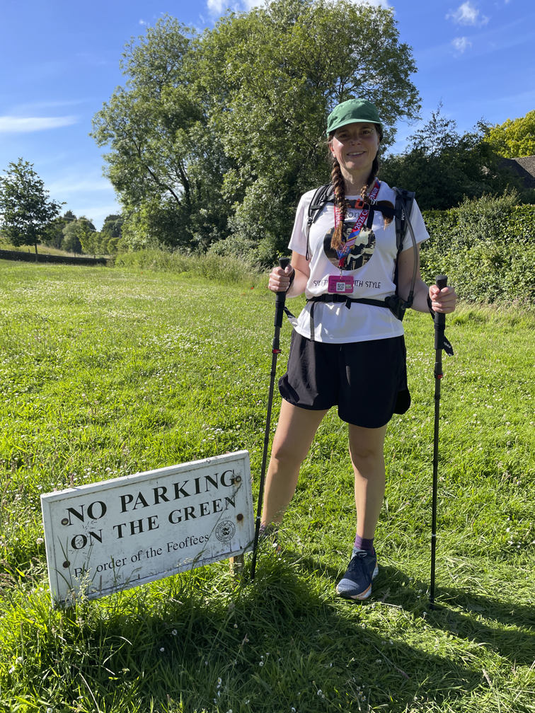
…enjoyed Theresa May-type experiences, and found out what a Feoffee is.
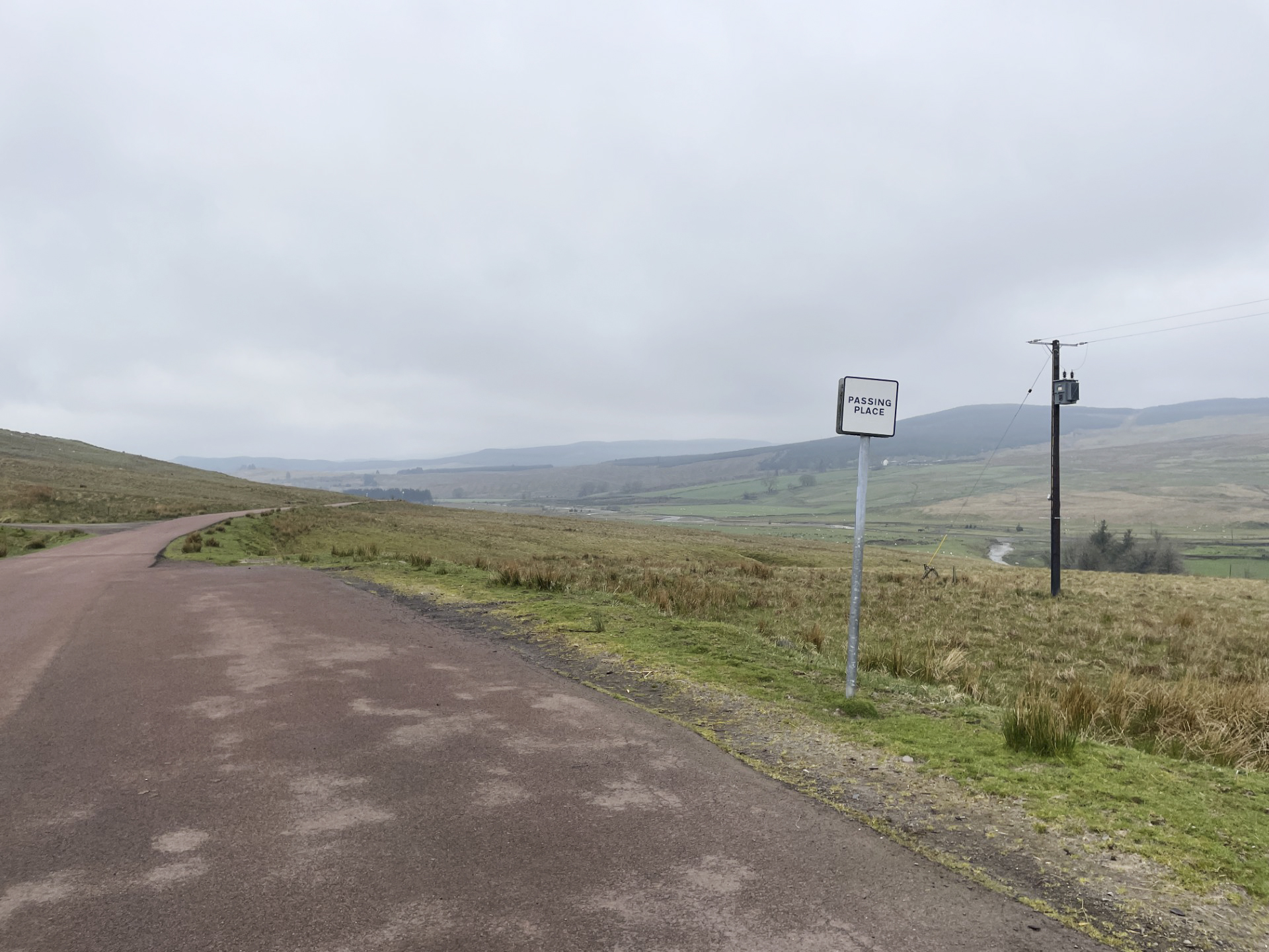
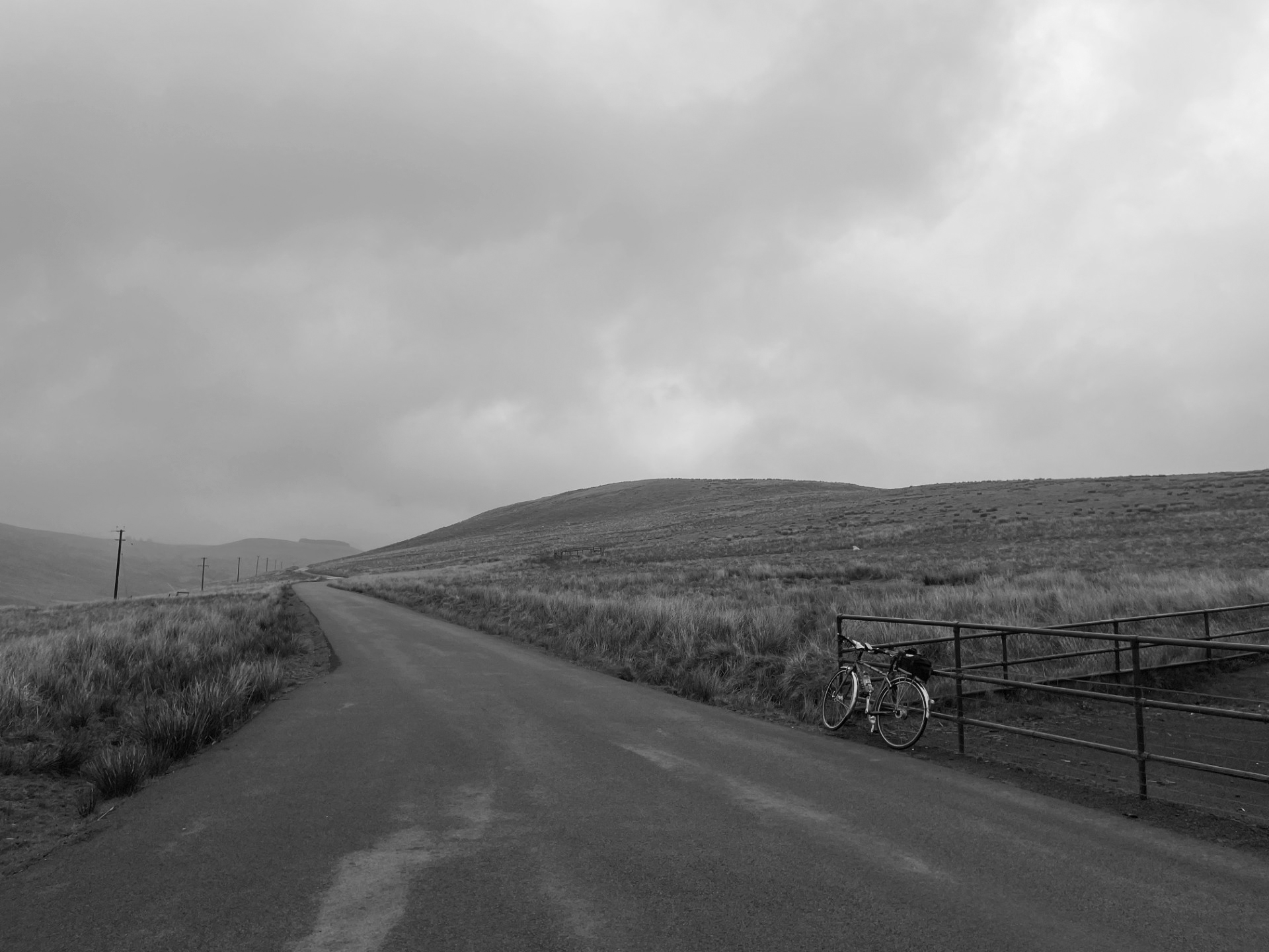
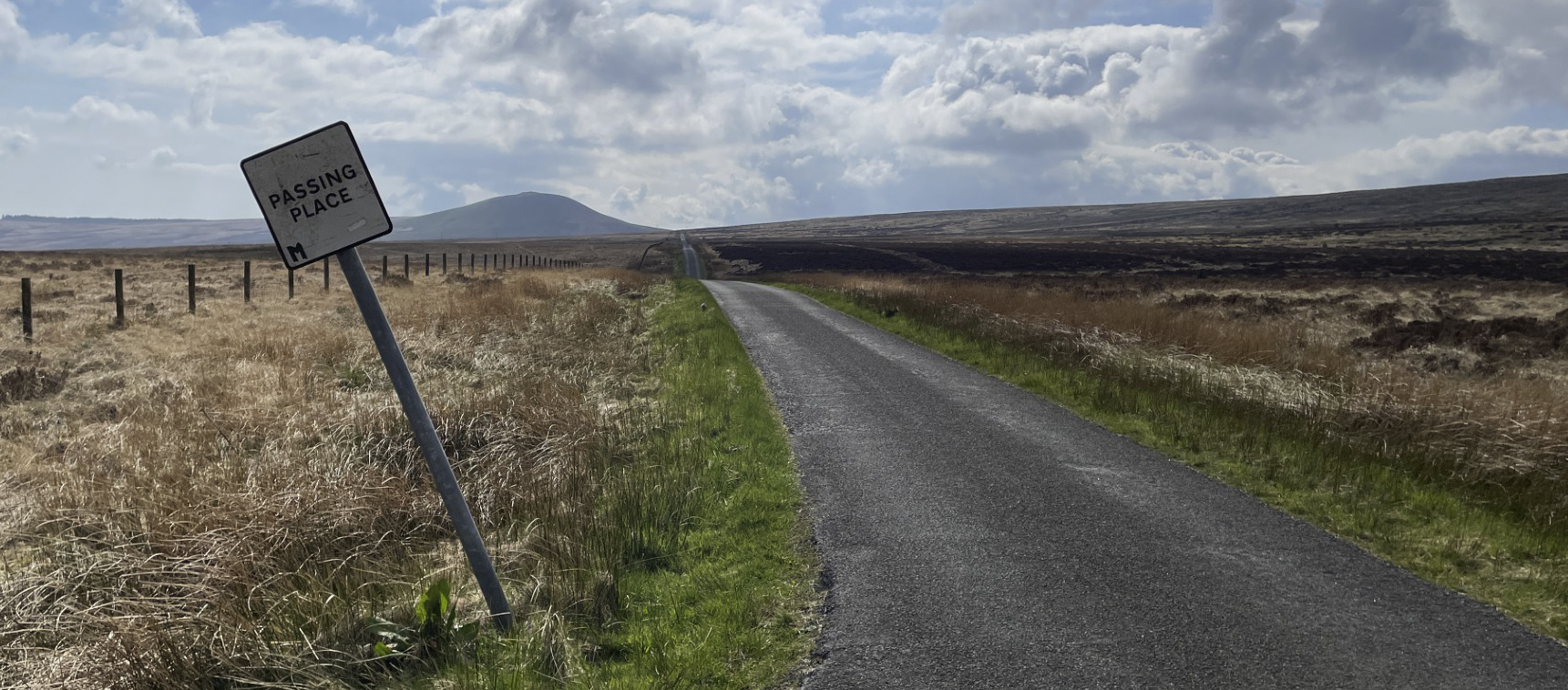
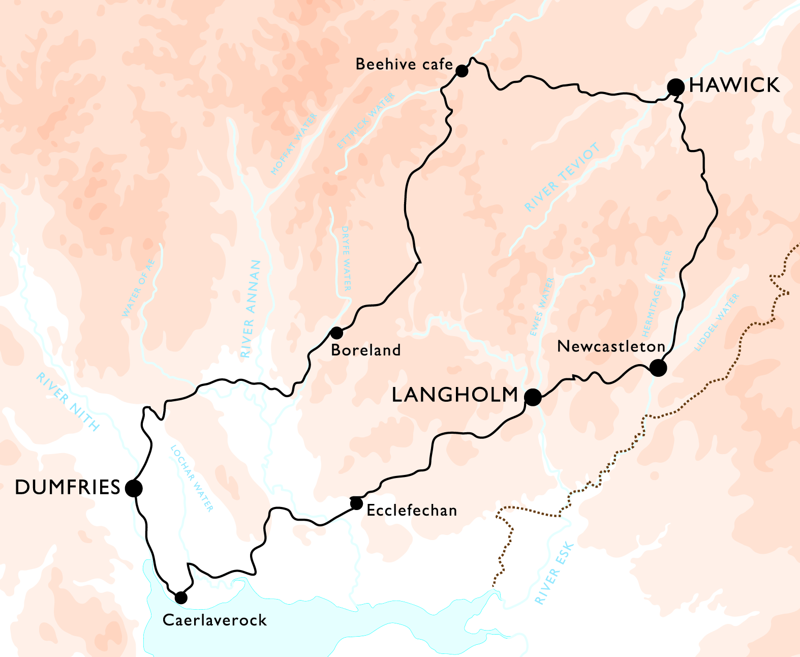
A first for new organiser Garry and what a great route. Very quiet roads over moorland passes, nice places to stop, and finishing with a ride up the Nith estuary with a bit of evening sunlight.
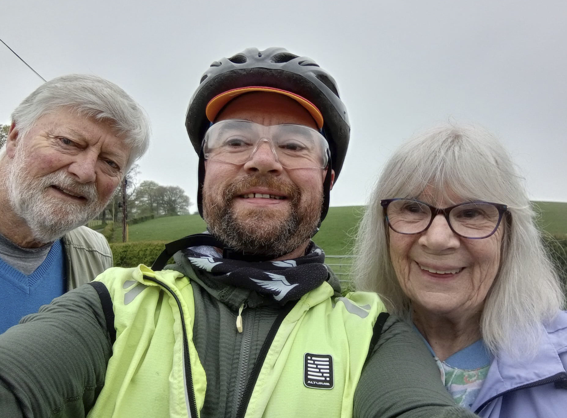
The first 20 km or so were very familiar, and my parents were waiting at the end of their road to wave; I’m not sure what the other riders made of that!
We’d been warned about sheep and wild goats later on, but not the peacocks in Eskdalemuir who seemed fairly oblivious to traffic.
I started to feel a wobble in my left crank, which has been happening recently. It’s a self-extracting crank, and keeps attempting to extract itself. I stopped by the turn off to Ettrick, only to have a short panic that none of the hex keys on my tool were the right size, but happily there was an odd thing that fitted. After that I tightened it as much as I could at each stop.
Seismological station (apparently) above Eskdalemuir
After my Dart to York I remembered that I do need to put some effort in rather than just pootling along, so made good progress on the first section to the Beehive cafe in Hopehouse. This was a great place to stop – they’ve definitely done this before, with prompt service, offering to fill water bottles, and great food.
A quick stop in Hawick to register on the e-brevt app and have a snack, then to Newcastleton, by which point I was knackered and hungry. I’ve always thought that the place looks odd on a map, and on arriving saw a sign saying it was a planned village in the early 1900s, which explains the layout. Some macaroni pies from one of the local shops were much needed.
The climb out of Newcastleton was the only one that looked daunting on the map, and it was quite a challenge but I made it without getting off to walk. It went on and on though; there was a nice fast descent to cross the Tarras Water only to have to go back up again.
Finally an as-warned twisty road down into Langholm. This would be a good place to stop in terms of facilities but it didn’t work that well for me distance, so I kept on to Ecclefechan. Not so much climbing now, but still a fair bit of up and down. A visit to a shop and a short stop, and I realised after my early better-than-expected progress I had slowed down quiet a bit was now back on my predicted time and couldn’t hang around.
The last section was a loop down to Caerlaverock (I guess to make up the distance), so it was a bit demoralising seeing signs for more direct routes home. I misunderstood the info control and wasted a bit of time stopping at the wrong places, but found it eventually.
NOT the info control.
The final section more or less follows the Nith up to Dumfries (definitely flat now), then hopping on to the shared cycle/pedestrian path along the river, under a couple of bridges, before an unlikely-looking route ending up little road which goes up to the Church Hall and Arrivee.
I hadn’t seen anyone else for quite some time, and on arrival asked if there was anyone else still out. One apparently, so I didn’t even manage to achieve the lanterne rouge. That honour belonged to a rider who arrived about 10 minutes later, who’d had a few navigational difficulties.
211 km, 1,983 m climbed, 12 hours 38 mins, 16.7 kph average speed