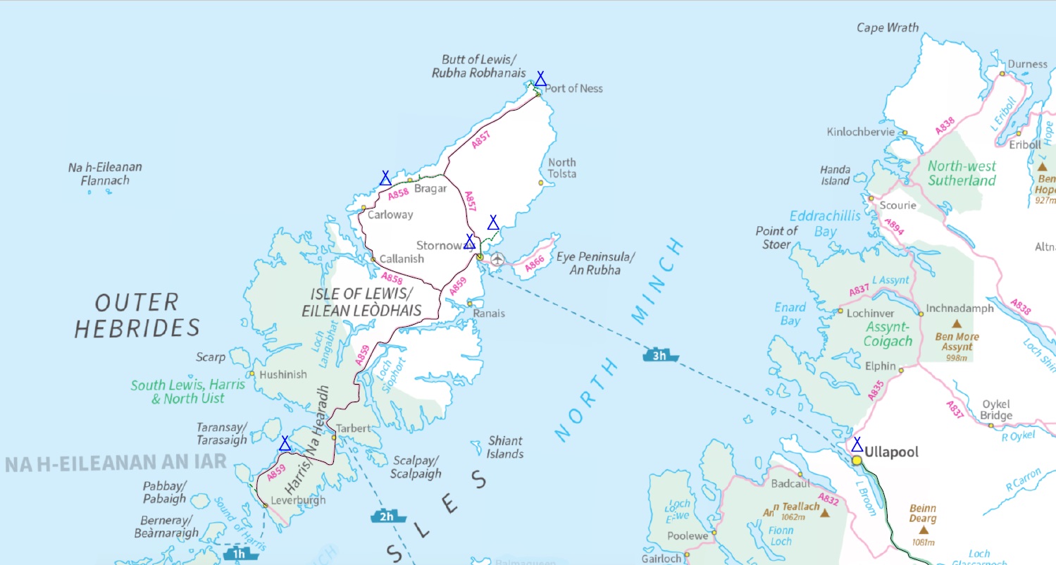
walking

Lewis & Harris

28/06/24 – 05/07/24

Having failed to get this far when I first visited the Outer Hebrides I came back. This time on foot as I thought getting here by bike would be a nightmare if not impossible, although I now think the Inverness – Ullapool bus takes them, although it may be a bit pot luck.

I arrived on a Sunday so most things were closed, the Stornoway Tesco being the exception. I walked a non-trivial distance in wind and rain to a campsite marked on the map which turned out not to exist, so I wild camped on the dunes and made use of the unlocked facilities at the sports ground opposite. In retrospect I should have just set up camp in their covered stand. Thank you Coll sports club.

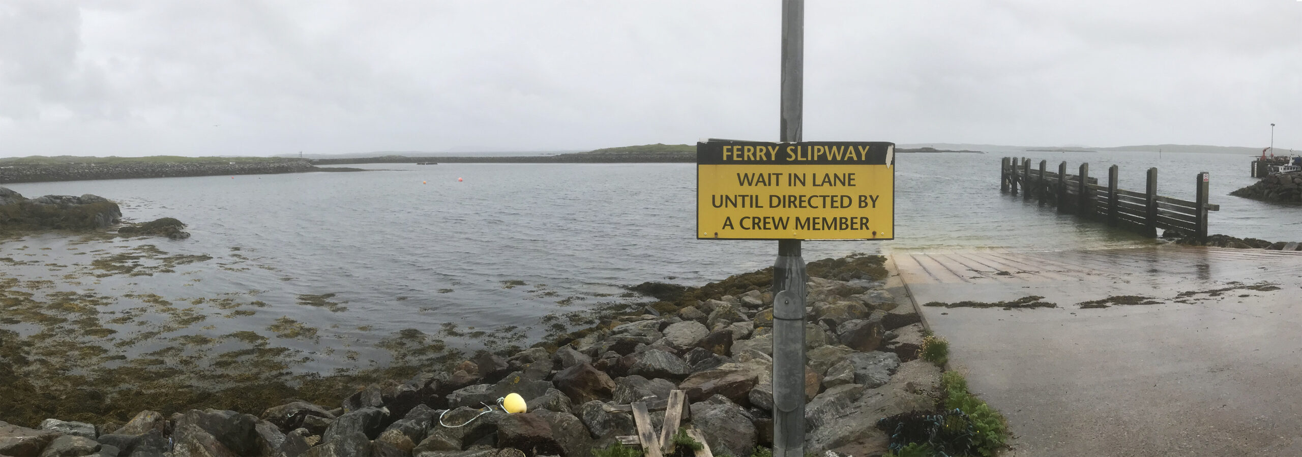
Next day was back to Stornoway to catch a bus (well, two) down to Leverburgh at the south end of Harris. The weather was awful but there’s a little brewery/taproom/café so I spent a pleasant souple of hours there, before taking the bus a little way back up to road so I could visit the visitors centre at Northton.

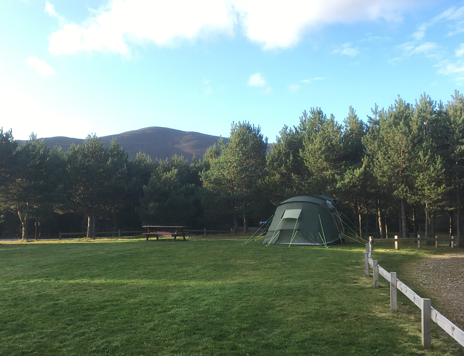
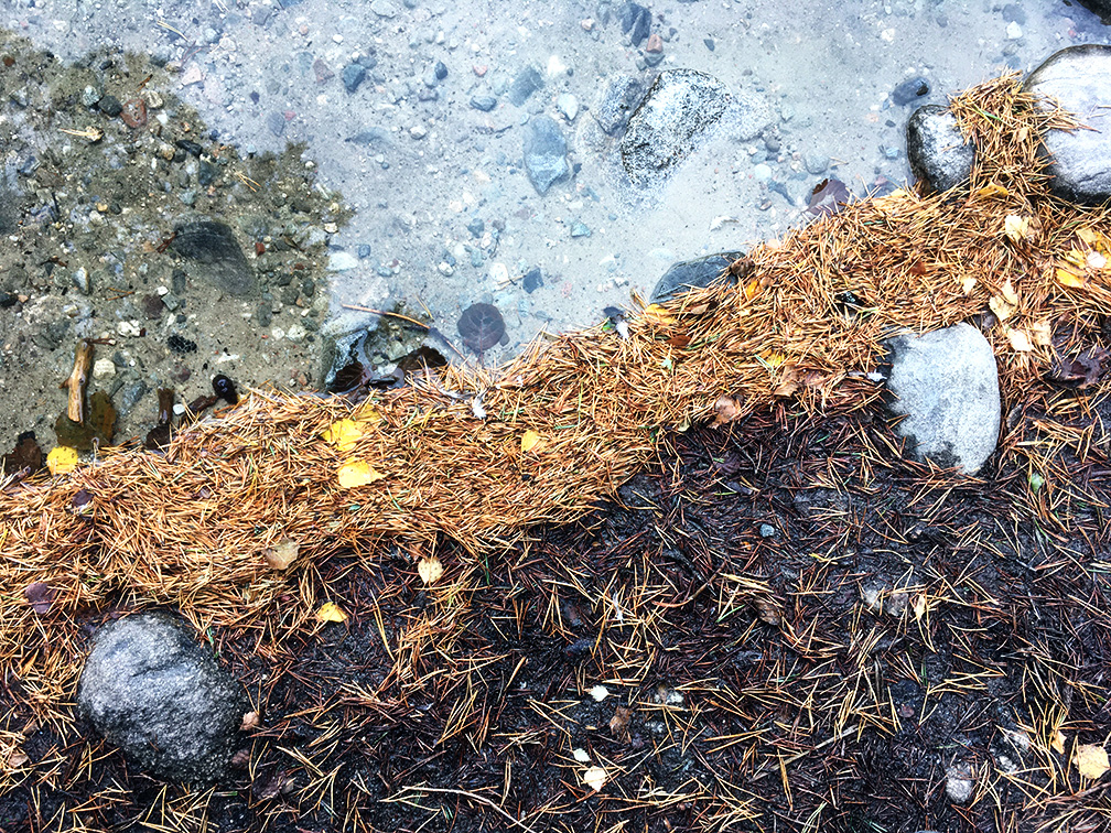
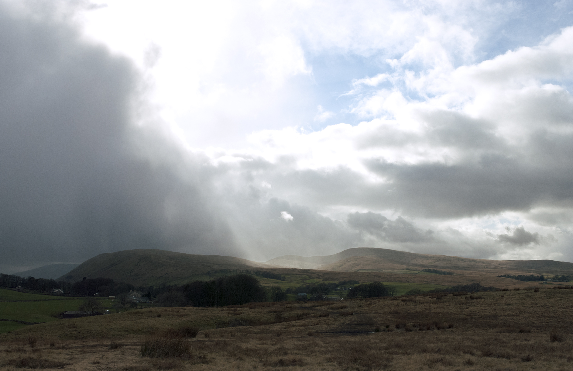
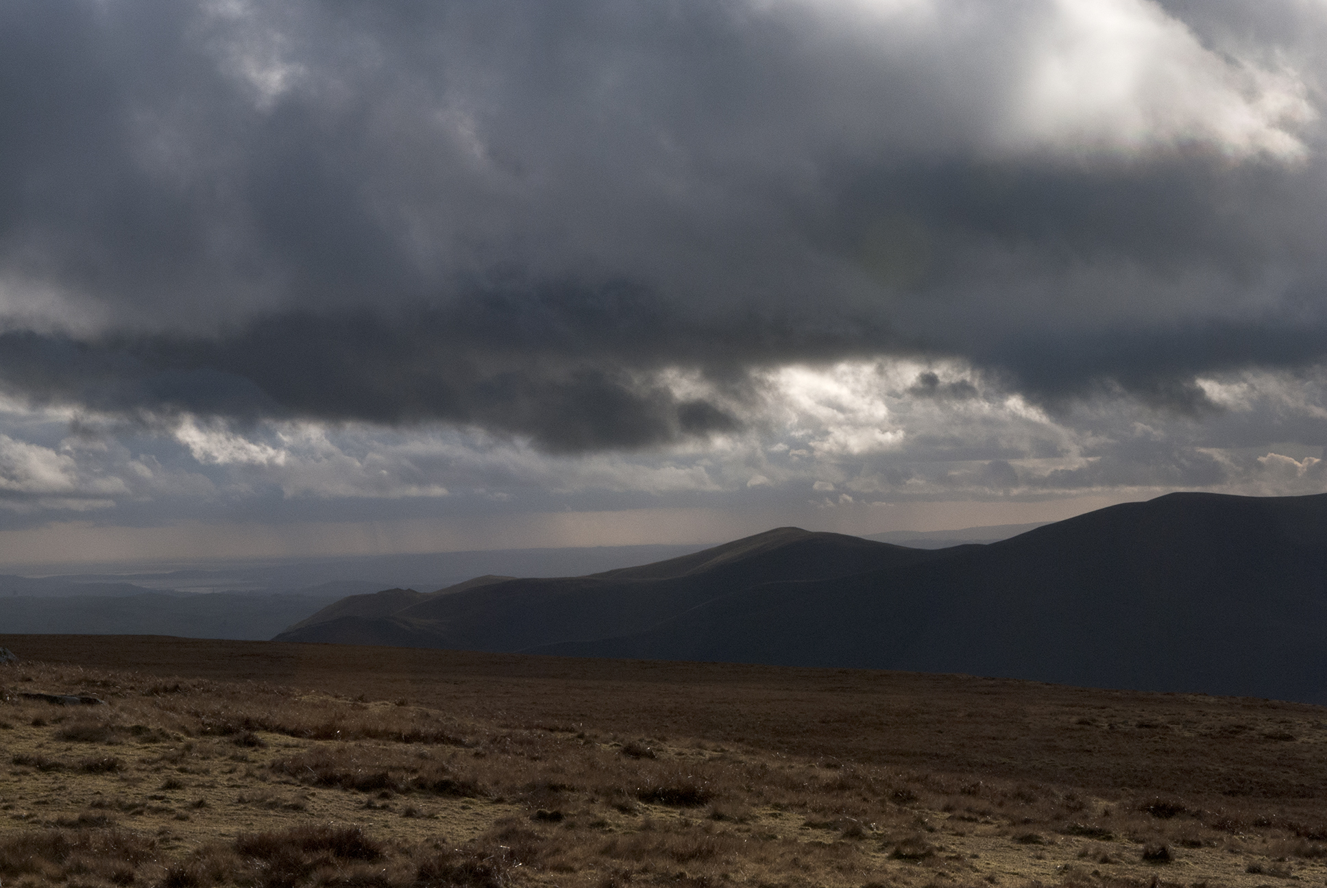
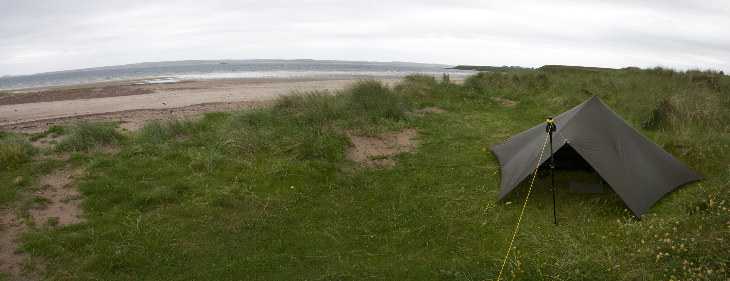
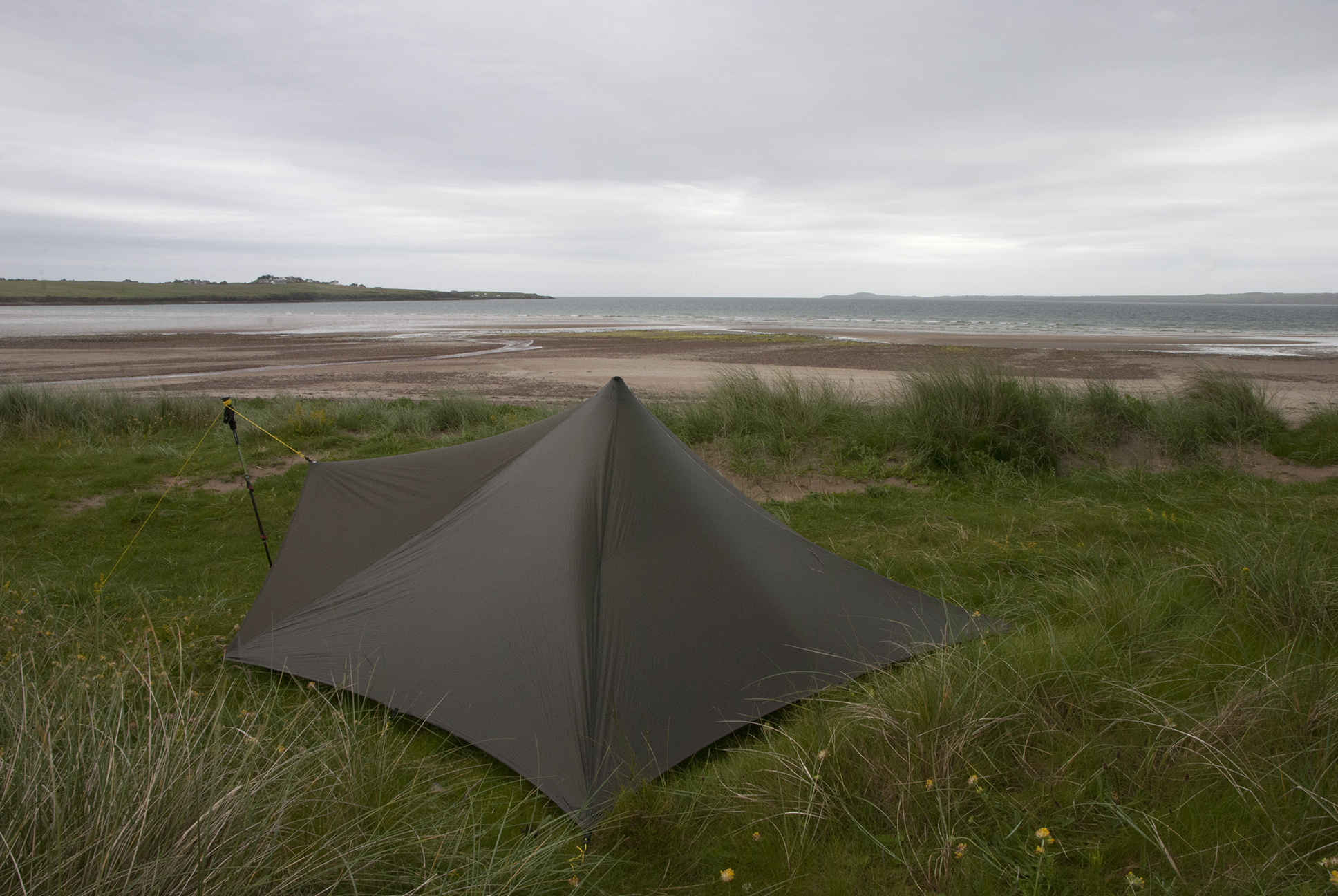
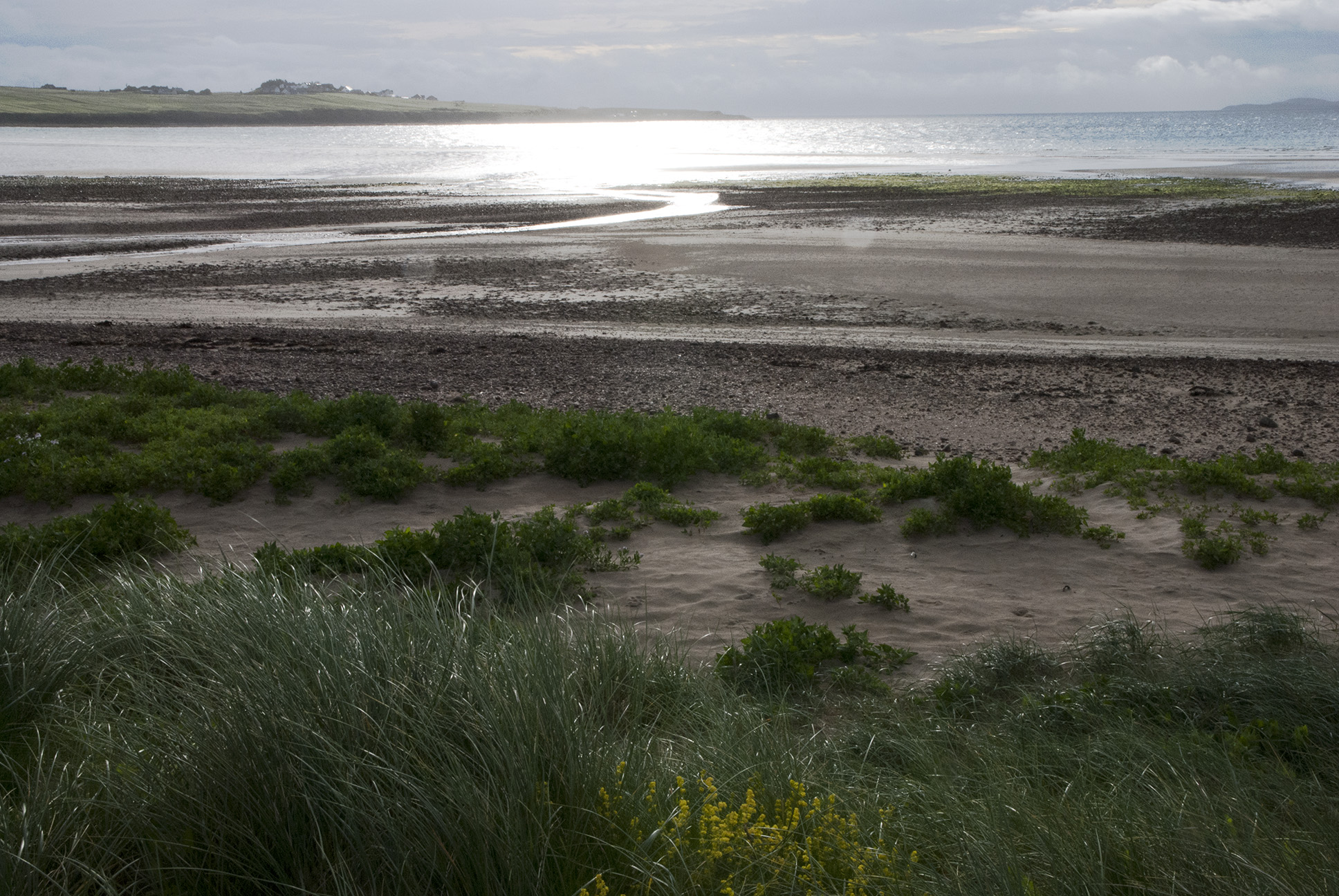
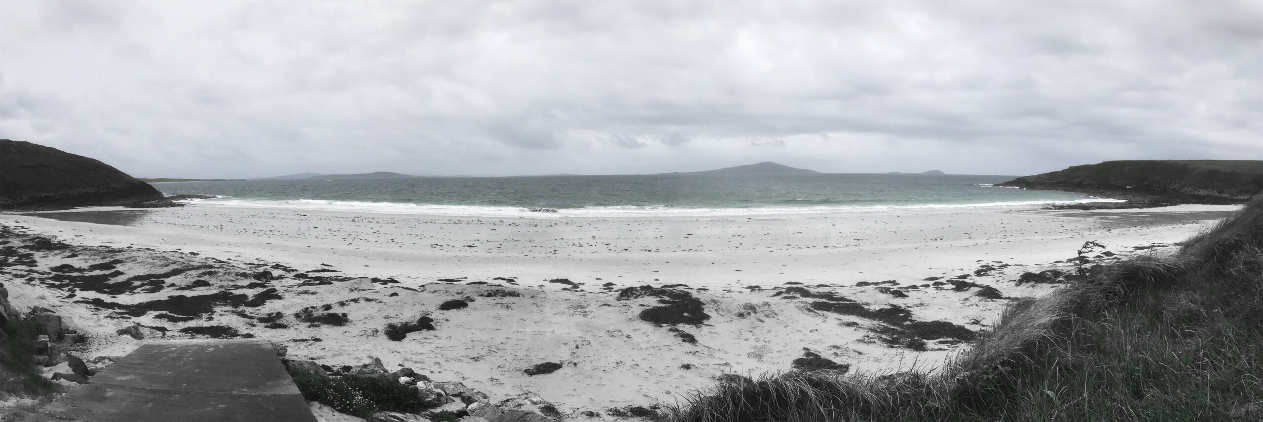
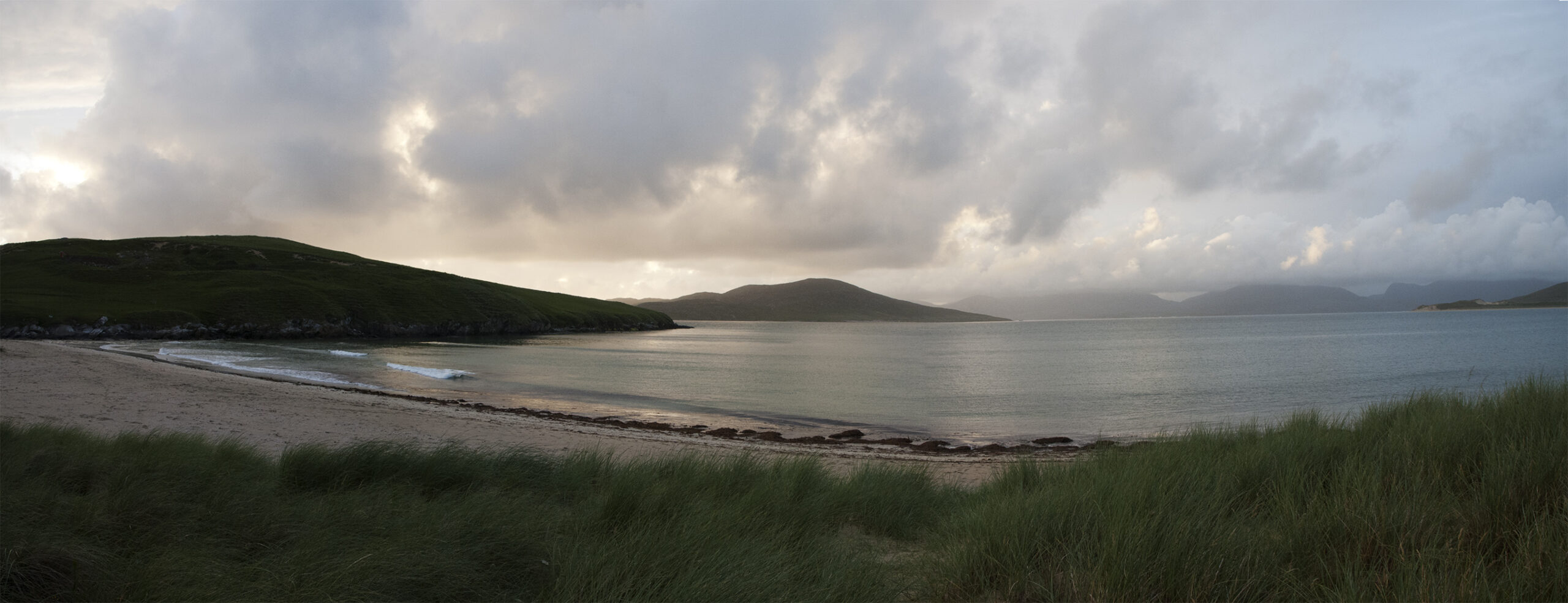
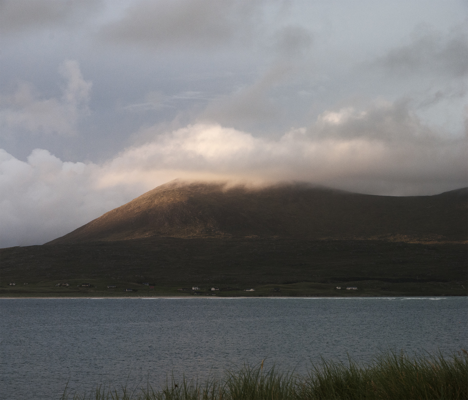
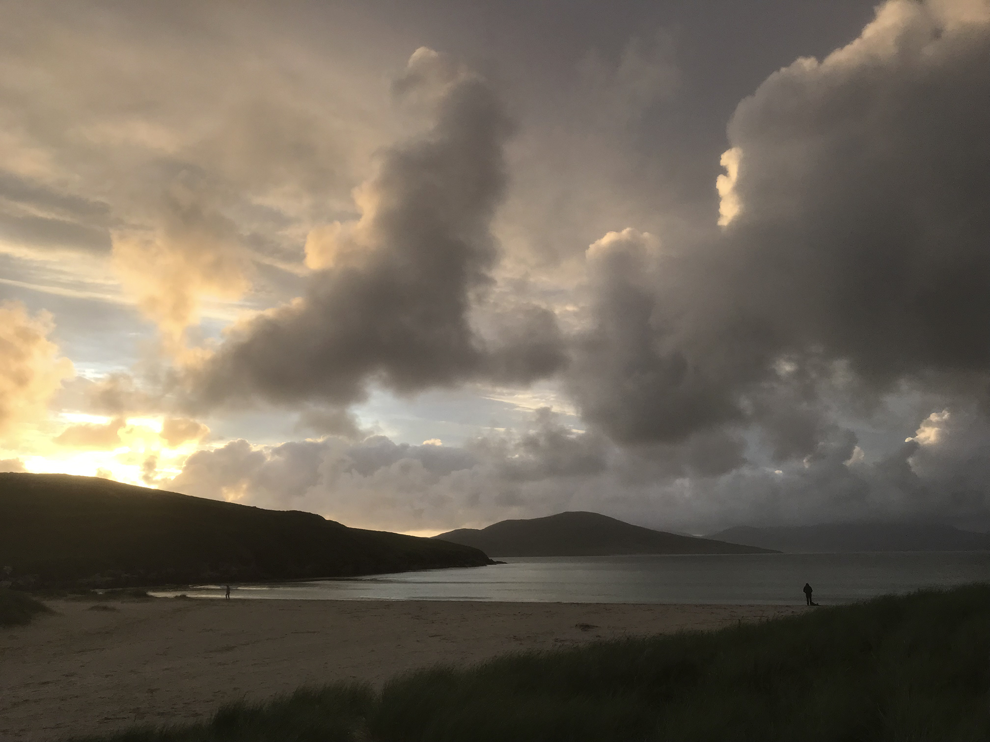
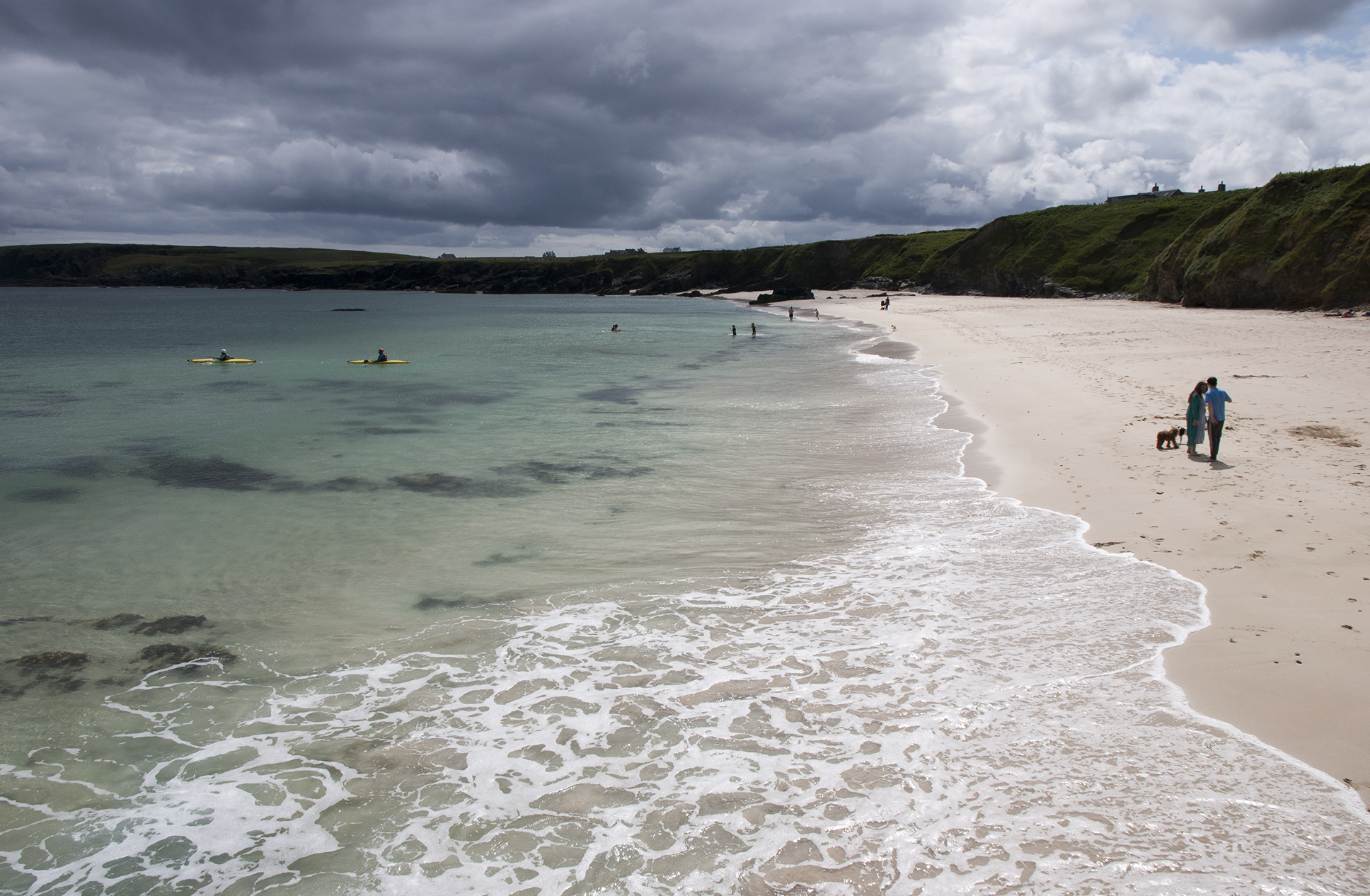
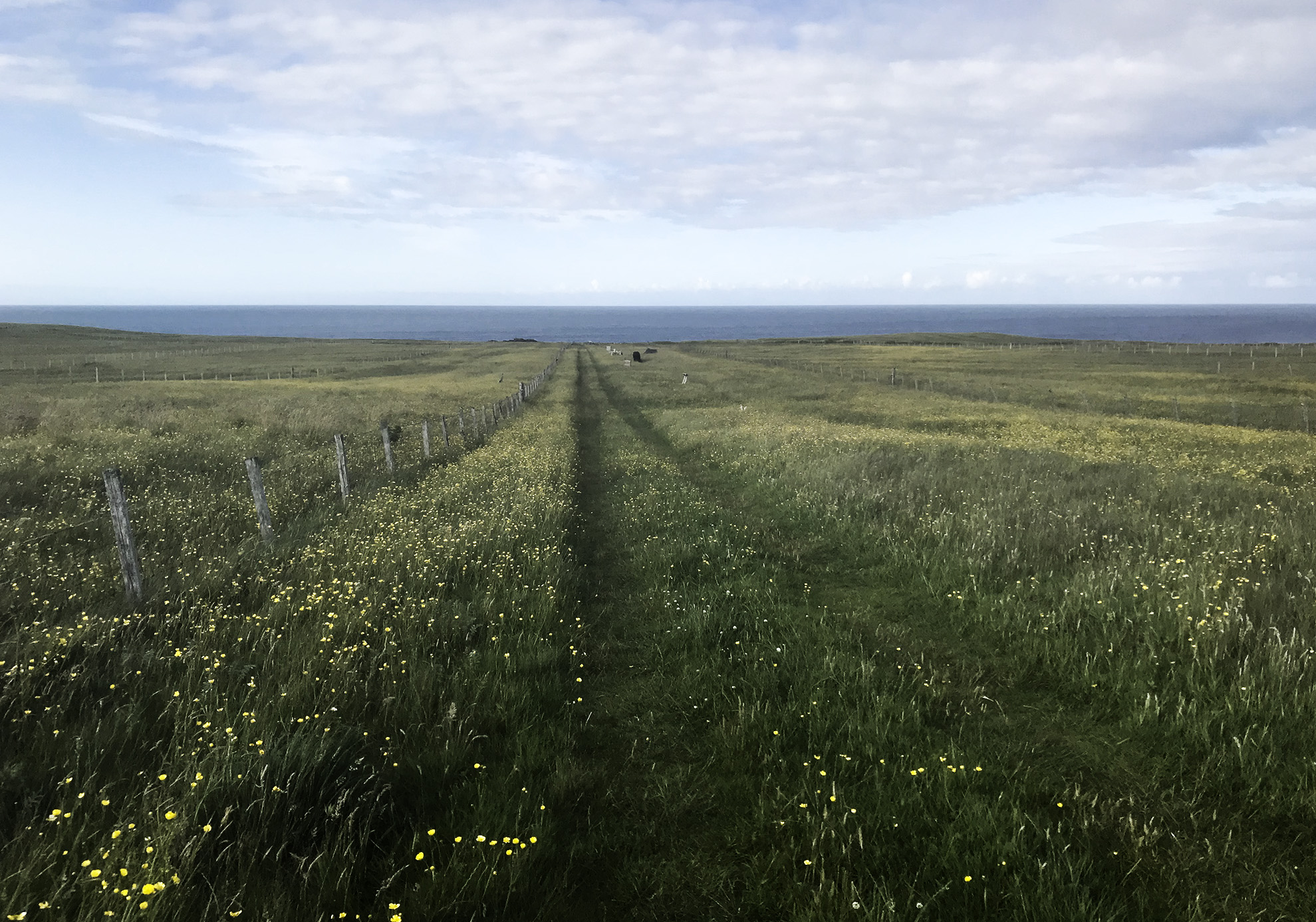
Waiting for the next bus north and wondering around I saw what I think was a Hen Harrier catch an oystercatcher. Some other oystercatchers gave pursuit but I doubt they were successful. Next stop was Horgabost campsite, where the weather produced some amazing light and clouds.

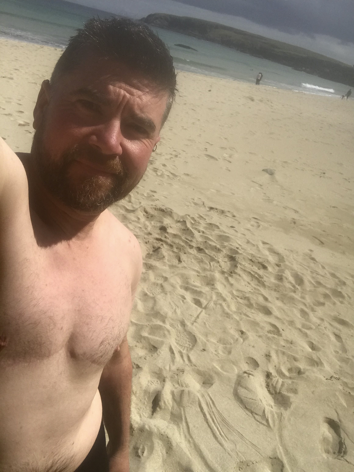
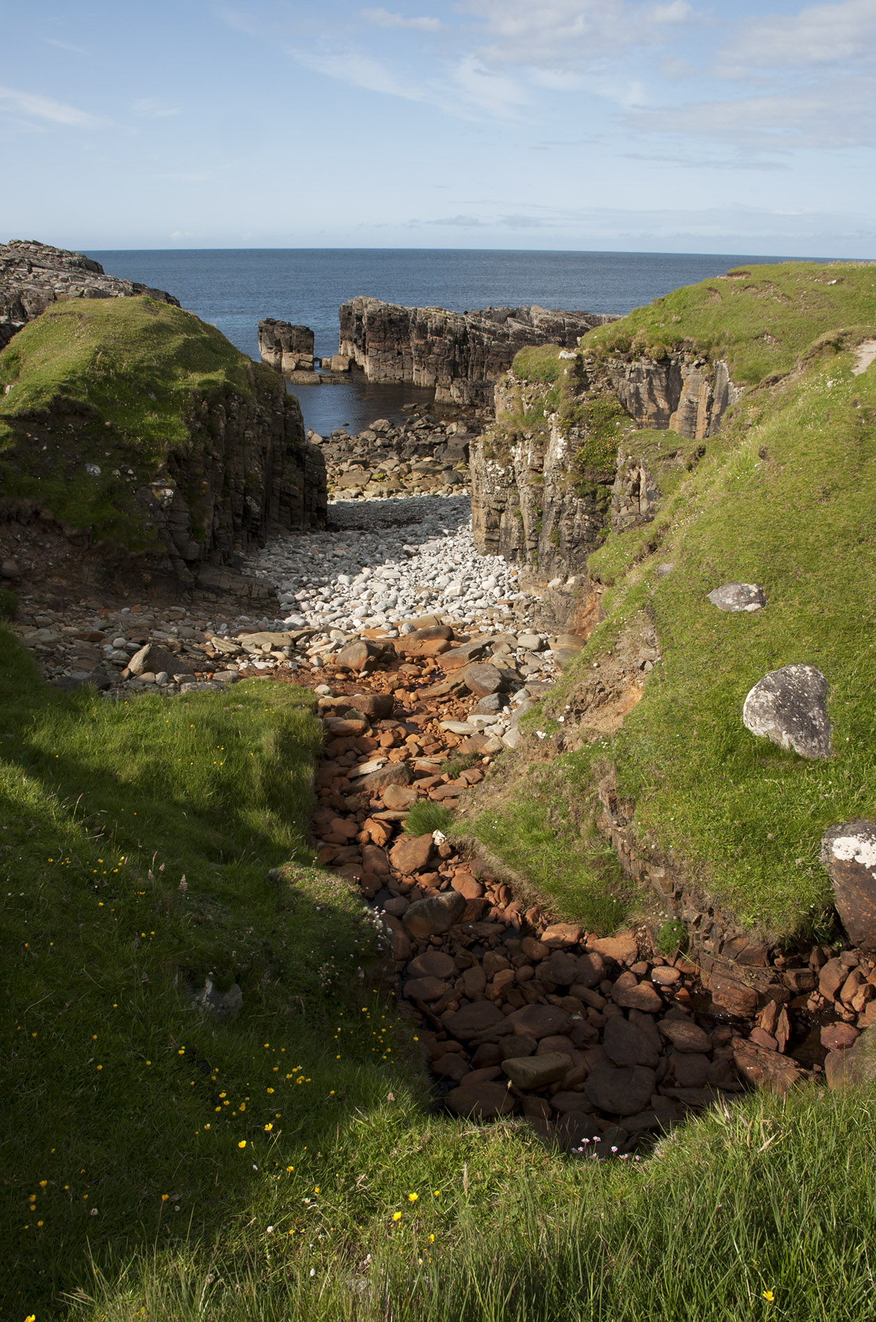
The next day I took the bus north, indeed as far north as possible. The sun came out and I managed a dip in the sea at Port of Ness.

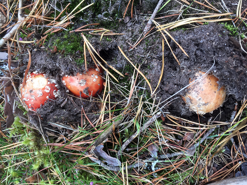
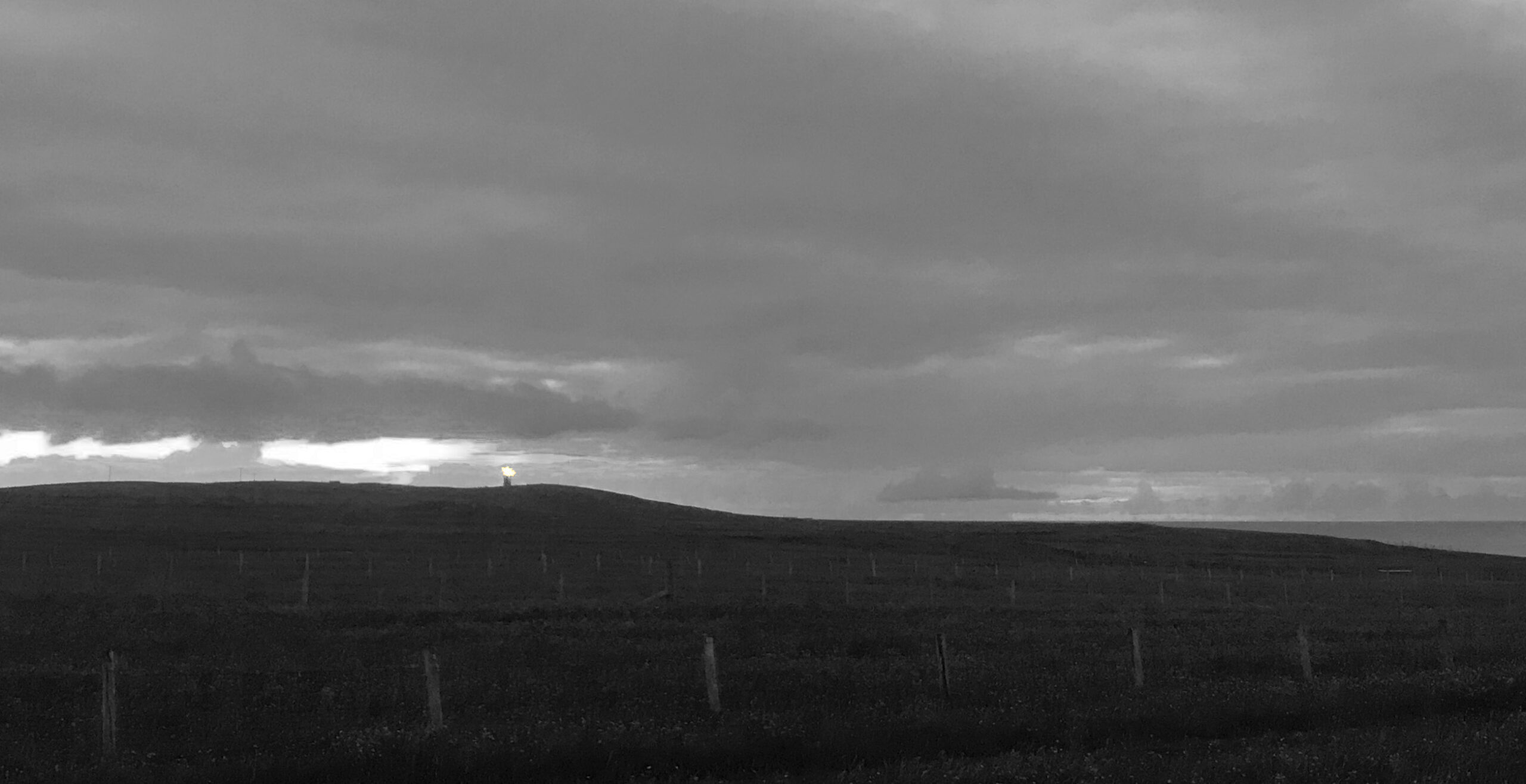
There’s a campsite at Eoropie, but they don’t have any facilities. I found one of the owners and he explained that there was a sports centre not too far away and he’d leave a bike out for me so I could cycle over and use their facilities if I wanted. Unfortunately things didn’t line up with my functions, so the trowel was deployed. The place was completely mad, with weird stuff everywhere. I walked over to Dun Eistean (although the bridge was closed so not possible to get over) before and the spending the evening in strange company, listening to corncrakes and watching a short eared owl.

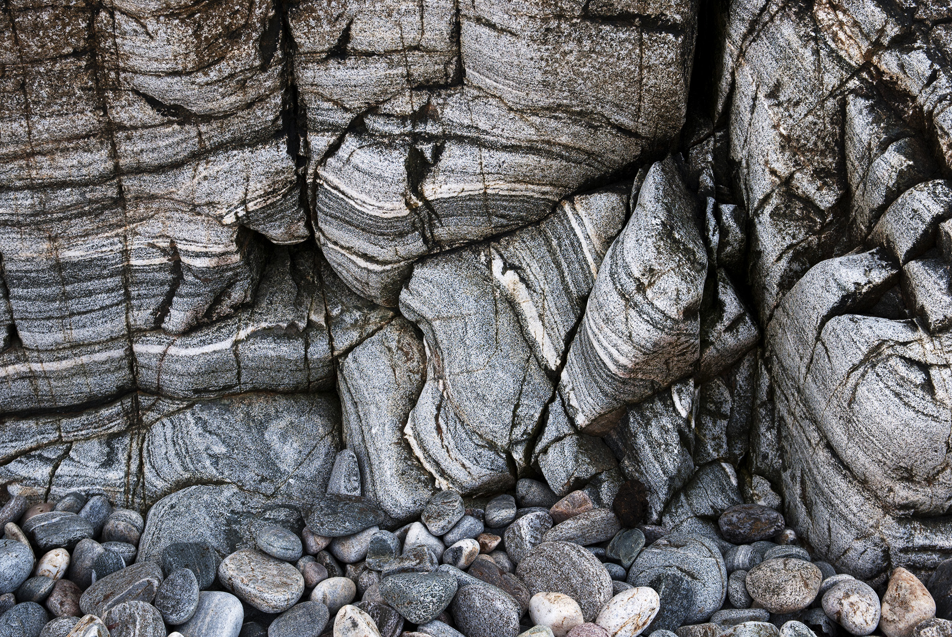
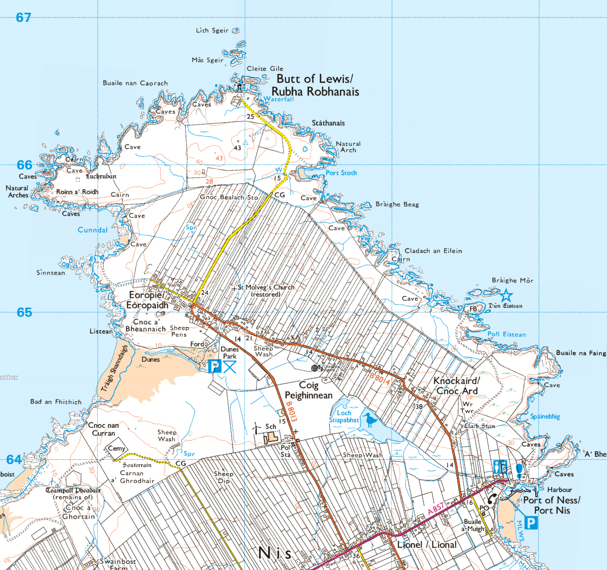
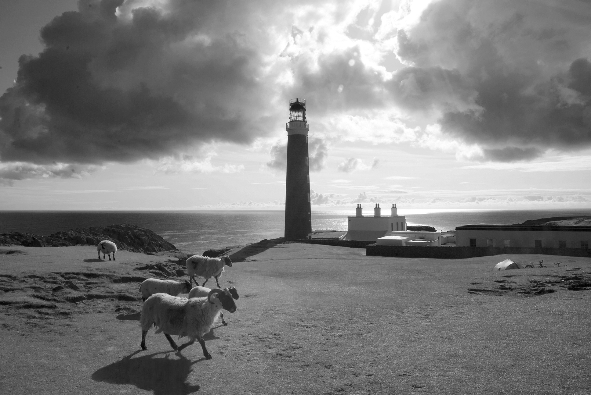
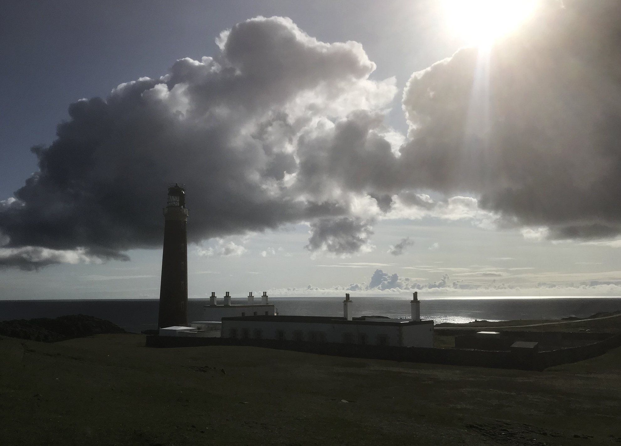
Next day it was a walk up to the Butt of Lewis lighthouse, before taking the bus south.

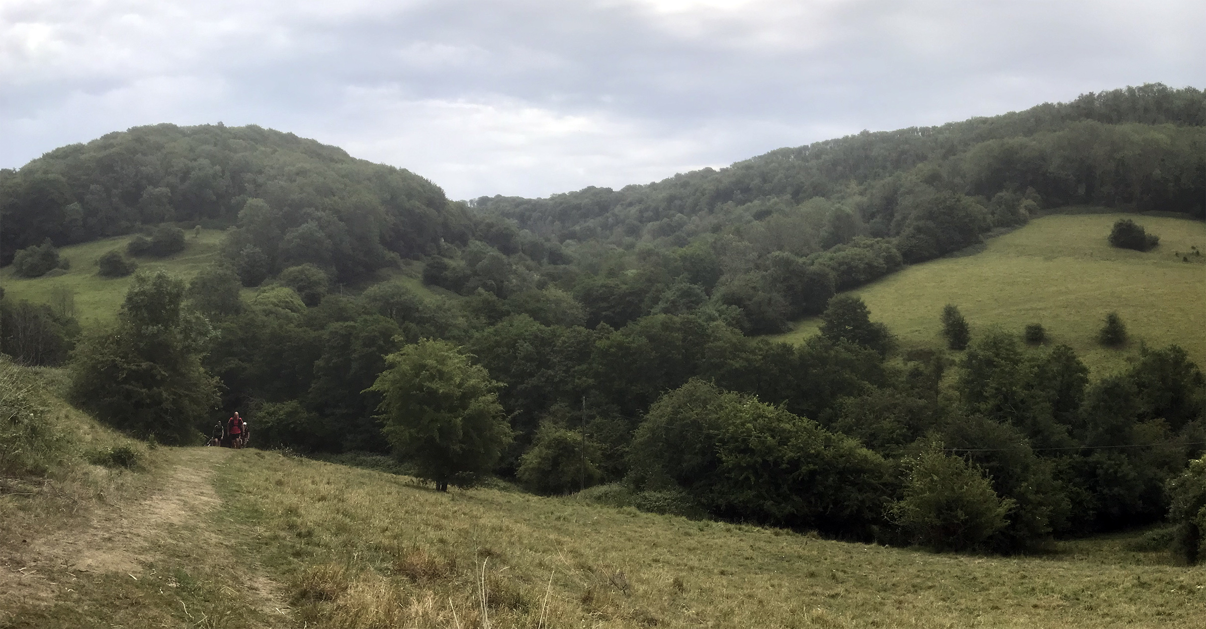
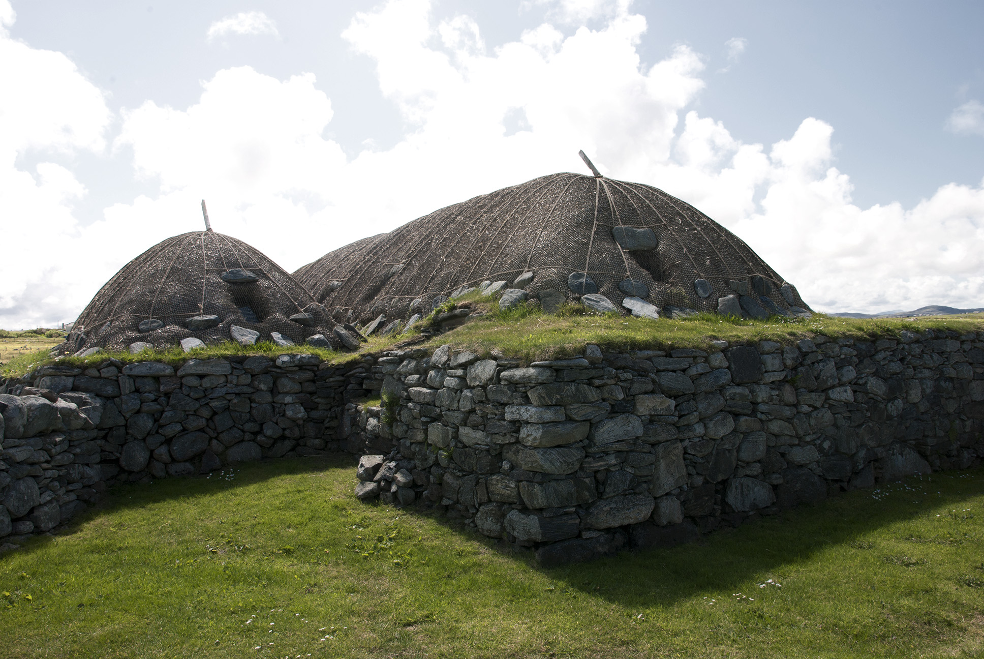
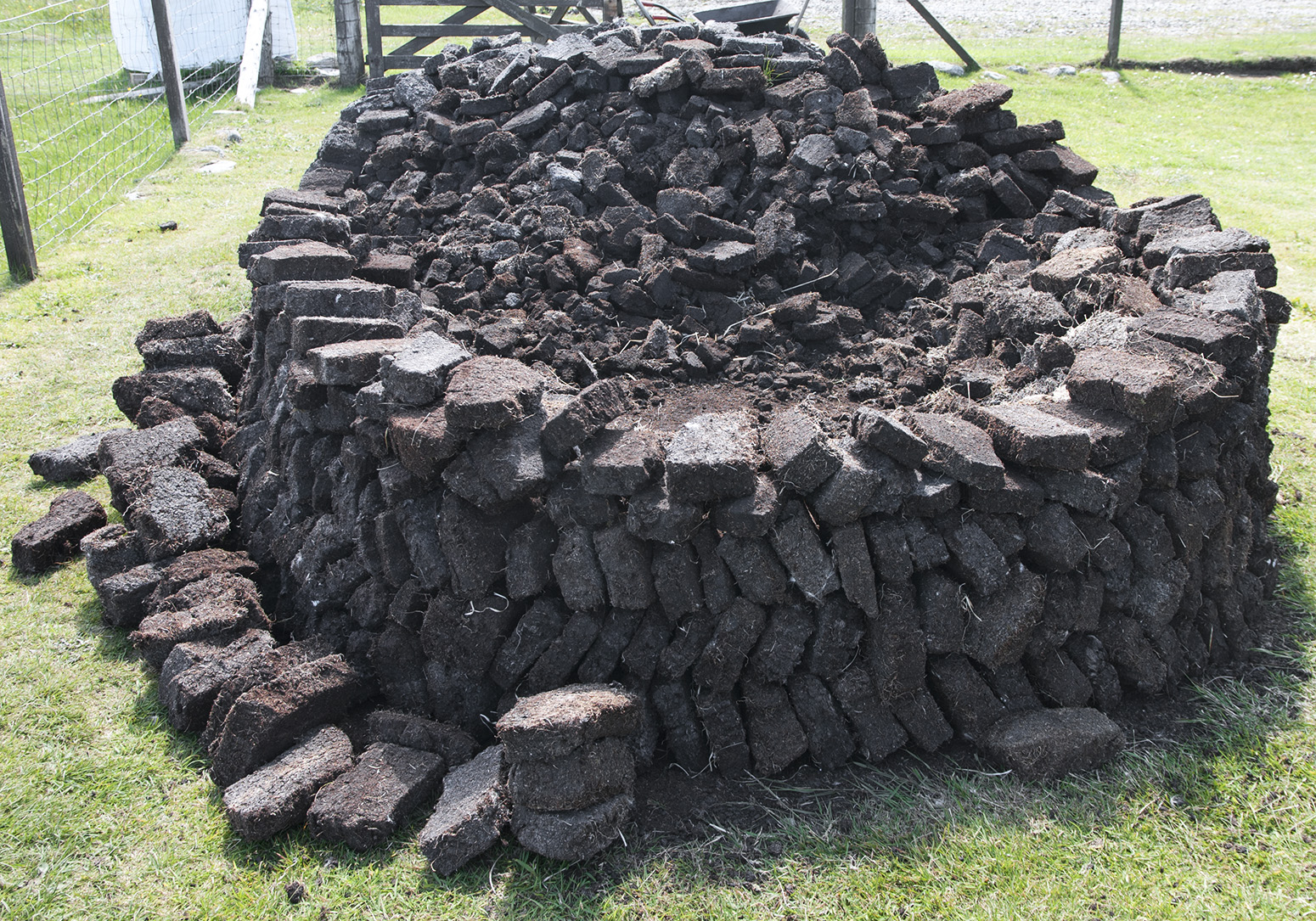
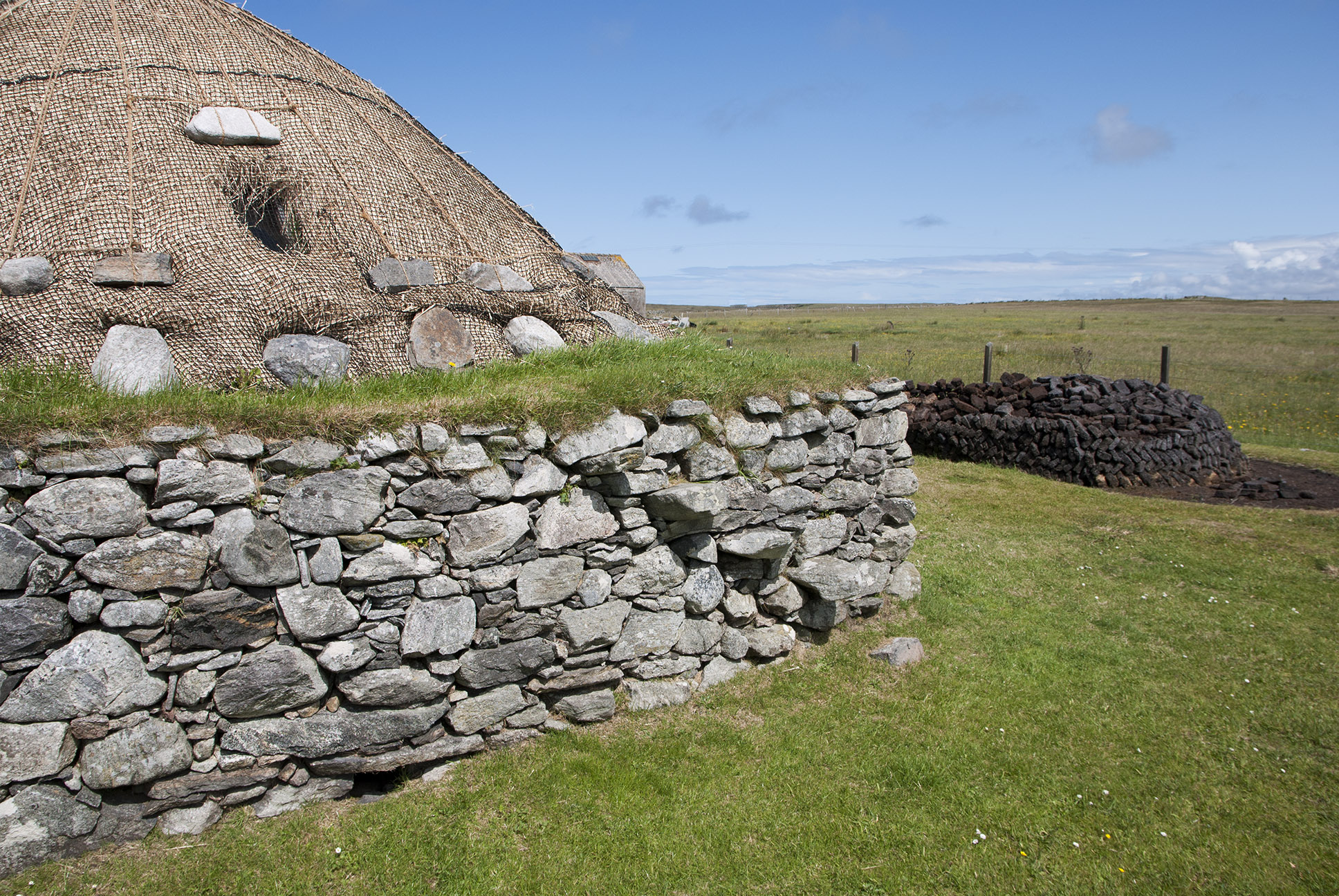
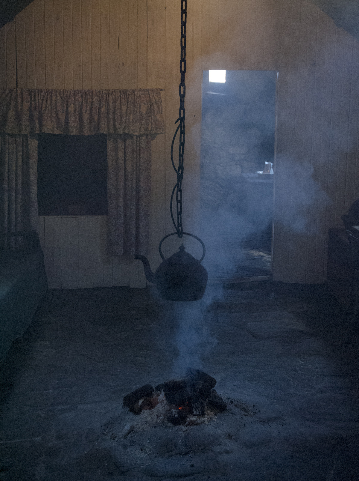
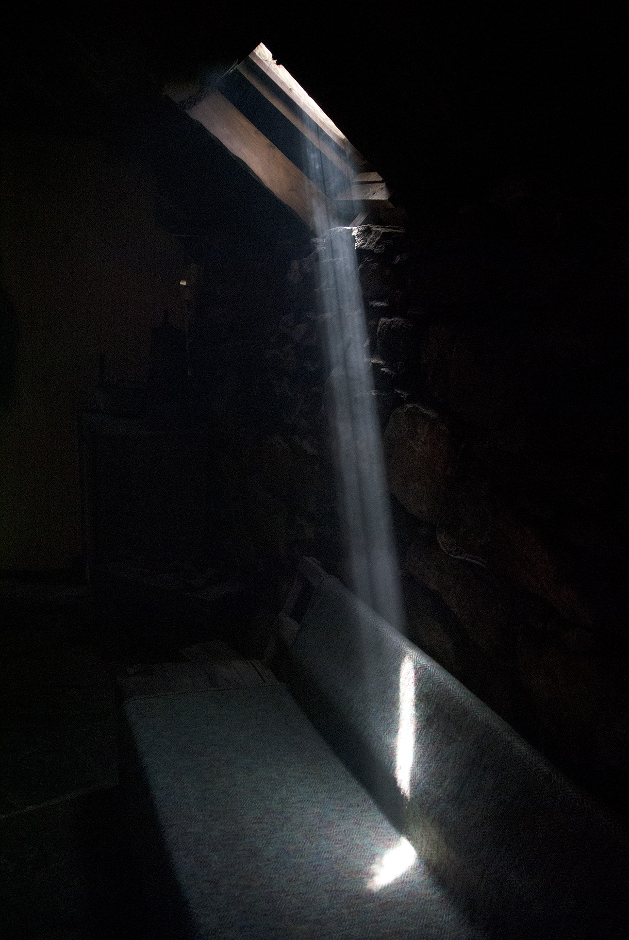
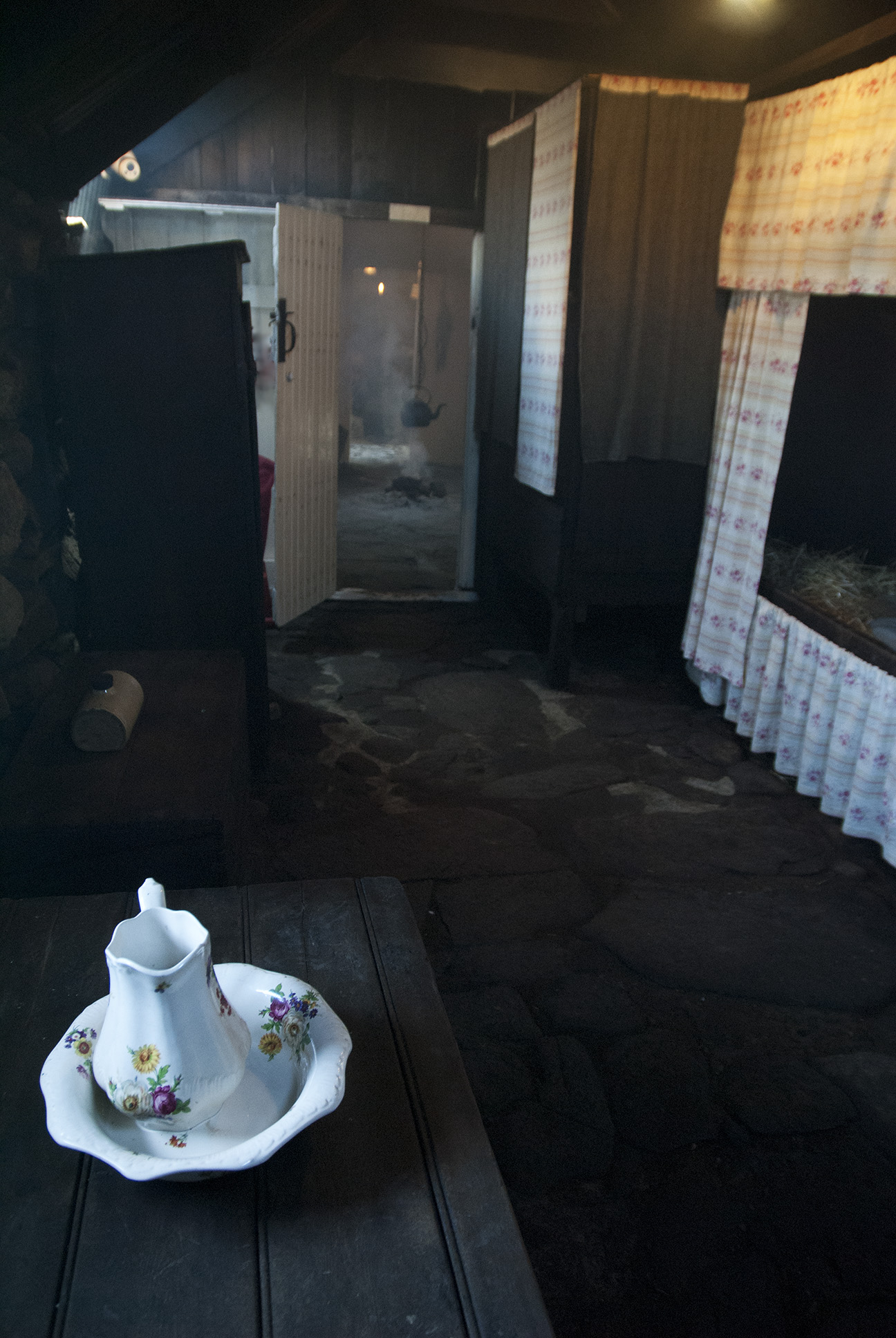
I got off at the Barvas turn off and walked towards Shawbost. A brief stop at a restored Shieling before visiting the Blackhouse museum near Arnol.

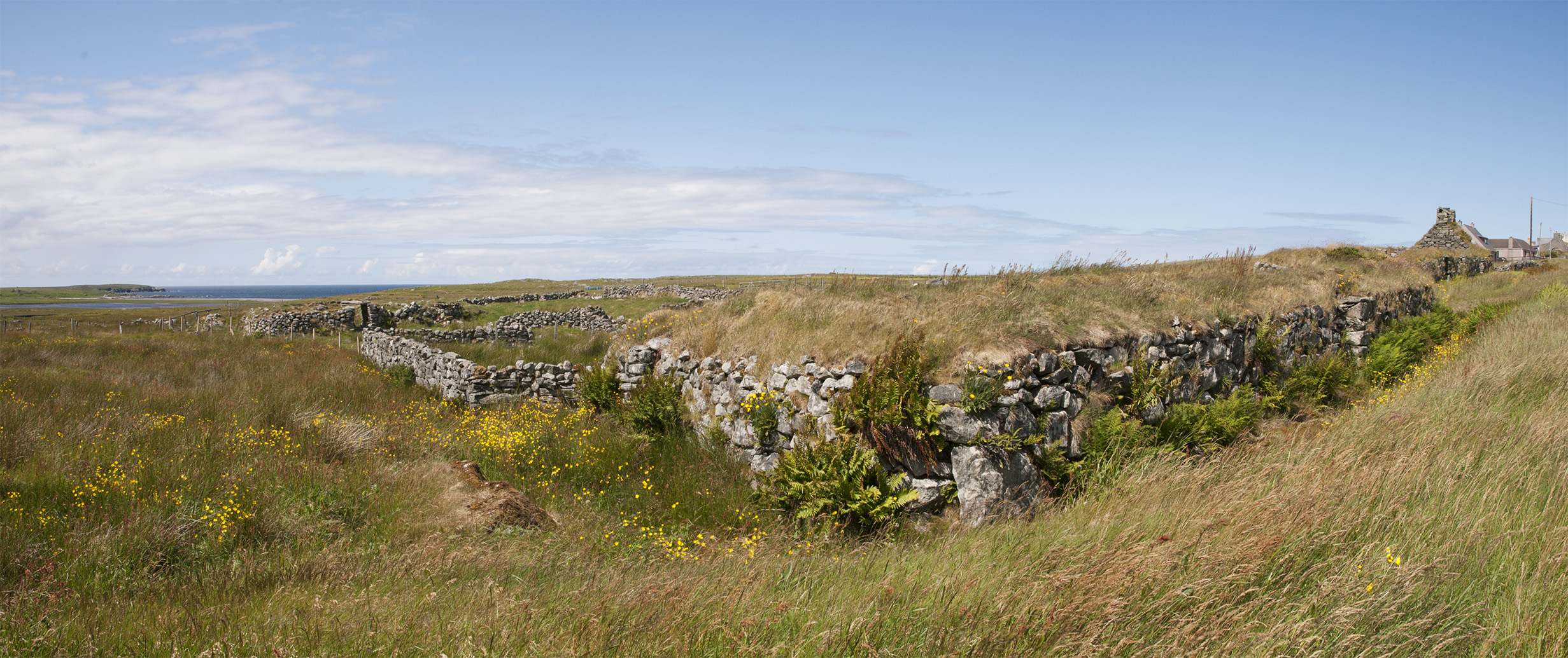
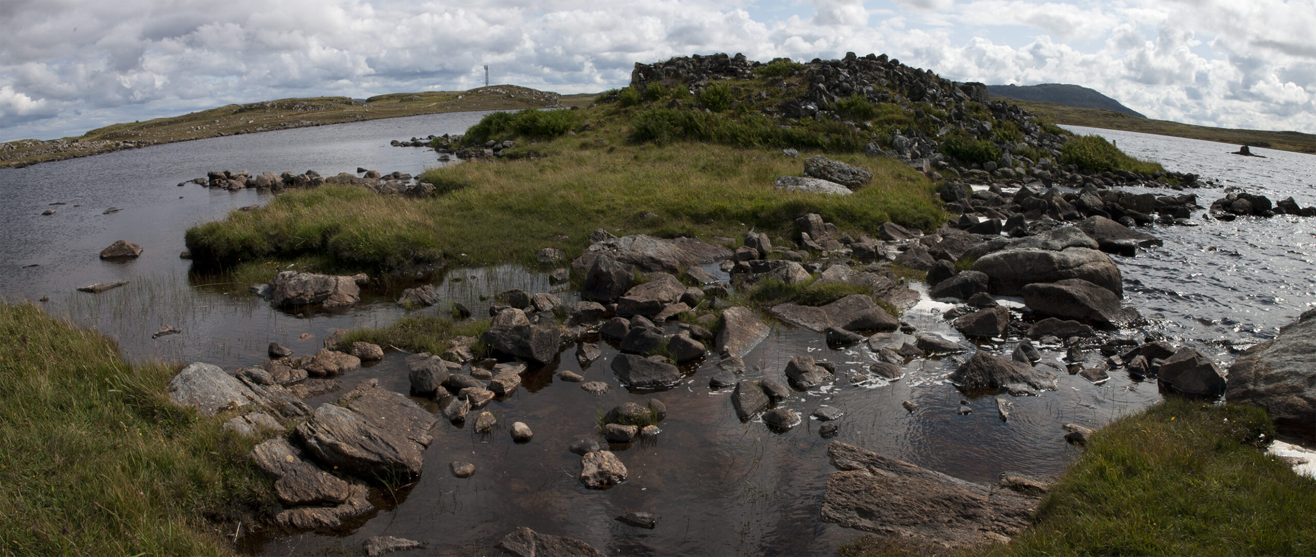
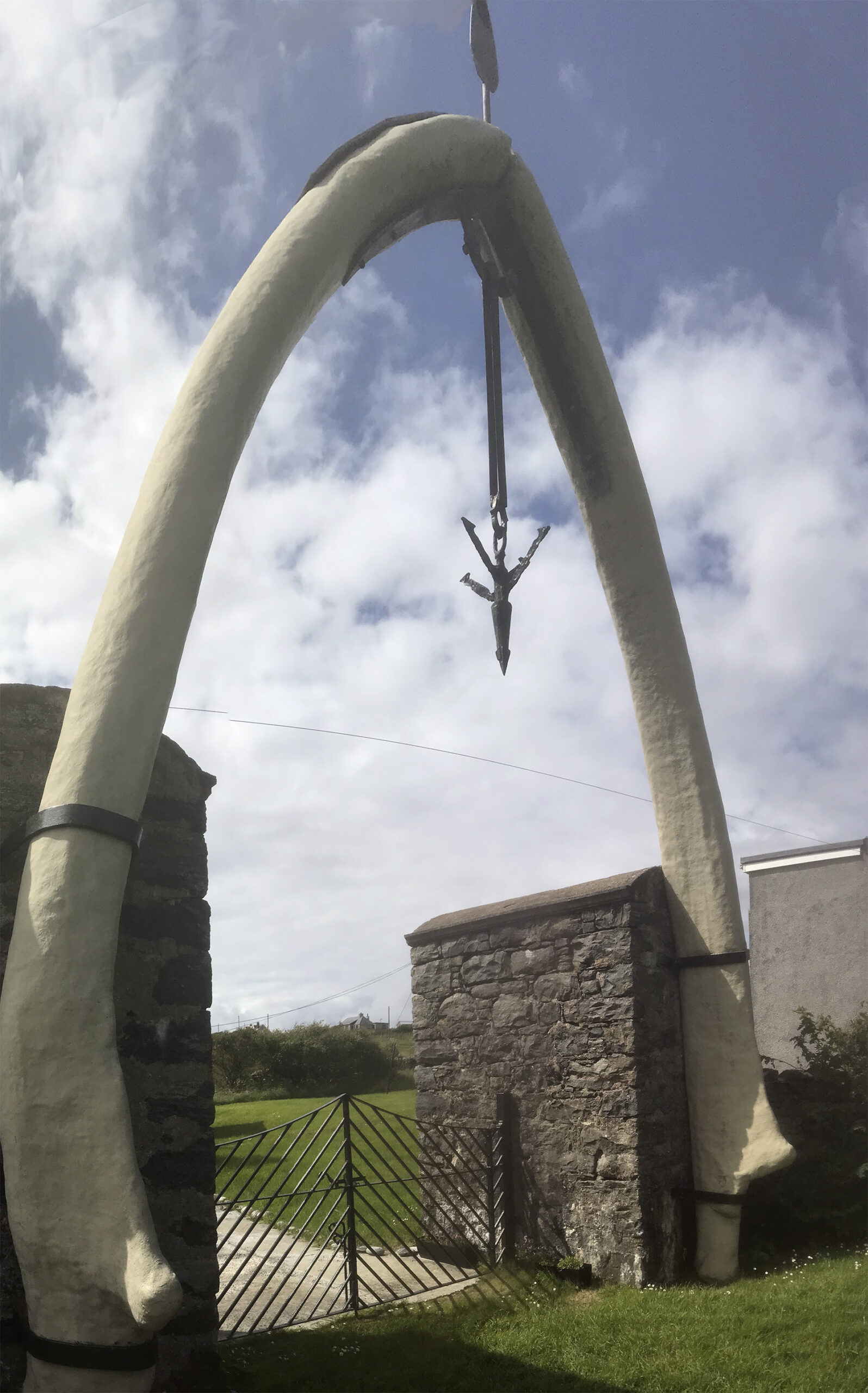
A couple of brief stops at things I’d seen marked on the map; a Broch in Loch an Duna, and a whale bone (marked as ‘arch’). In 1920 a whale’s corpse was washed up with a harpoon in its head.

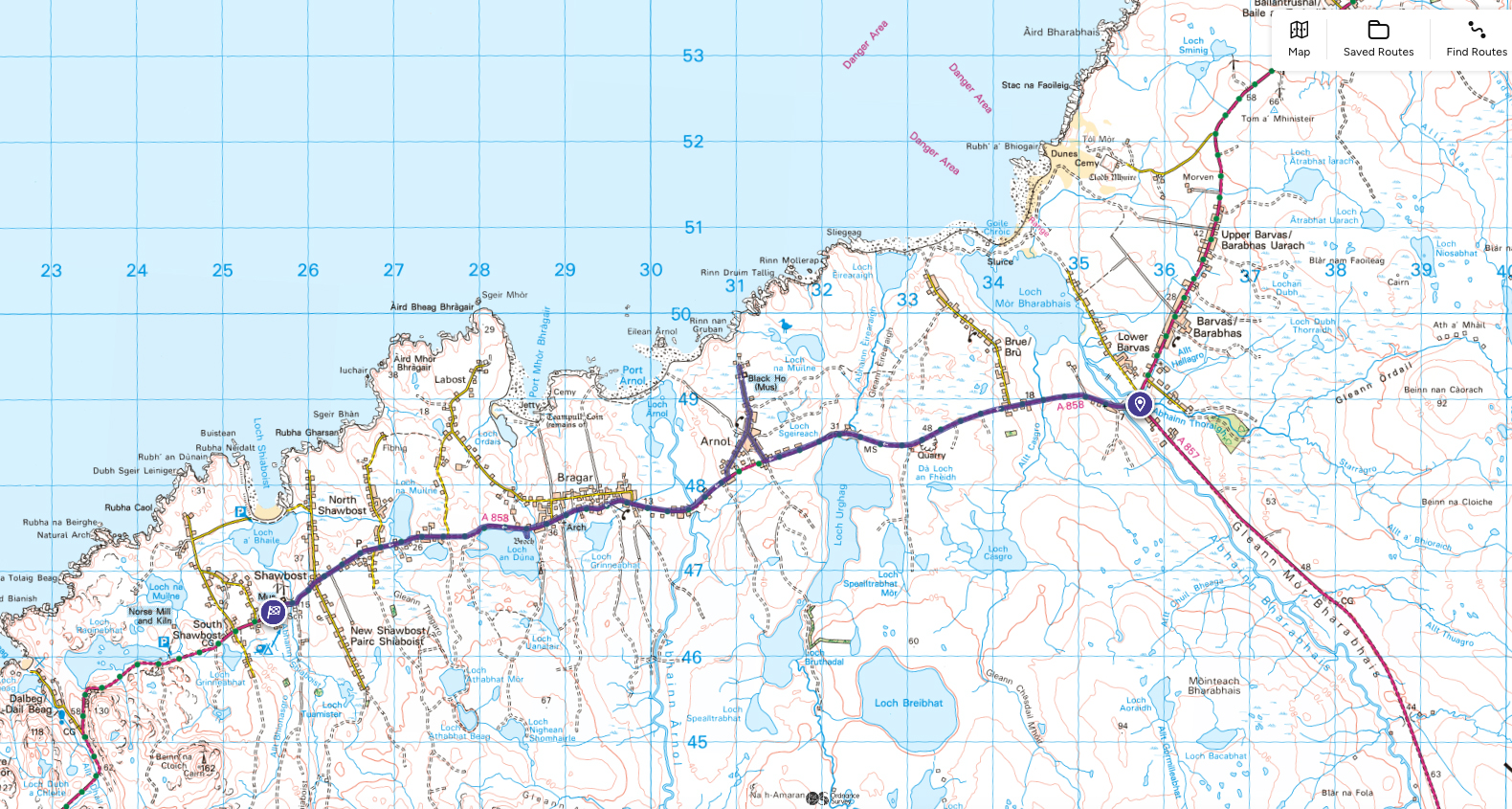
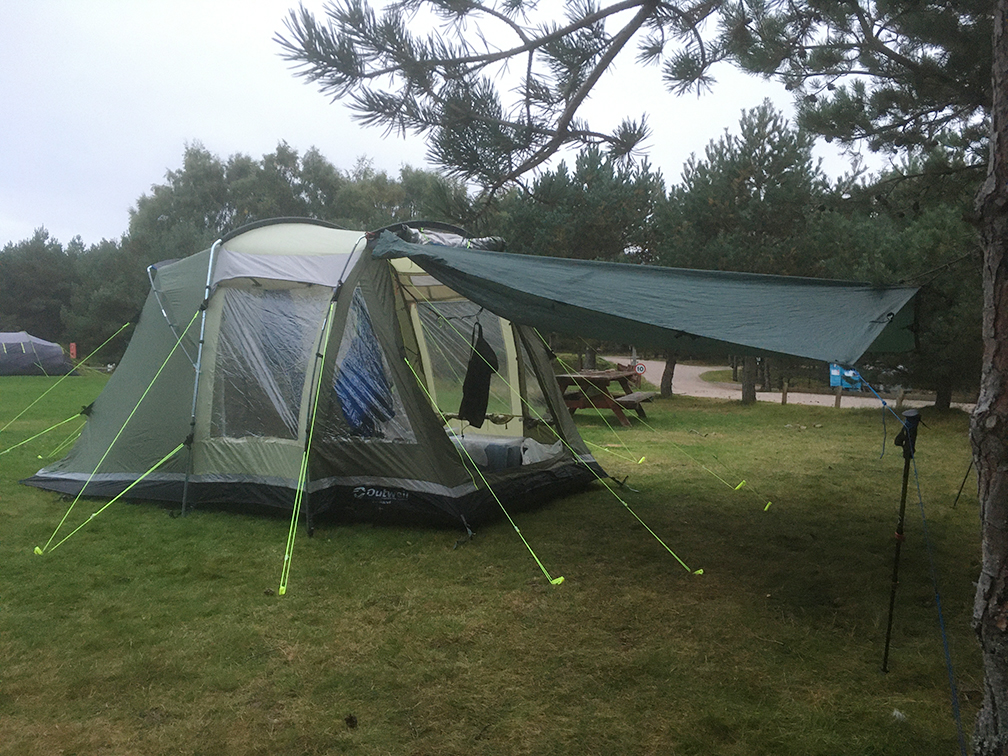
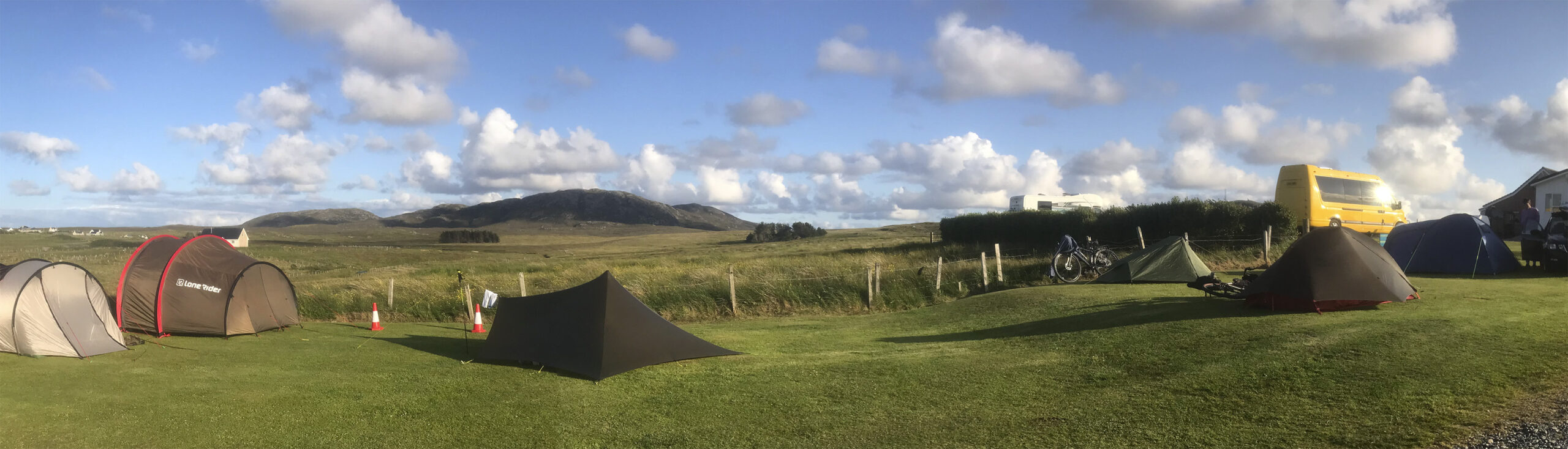
Got to the campsite at Shawbost which was fairly busy.

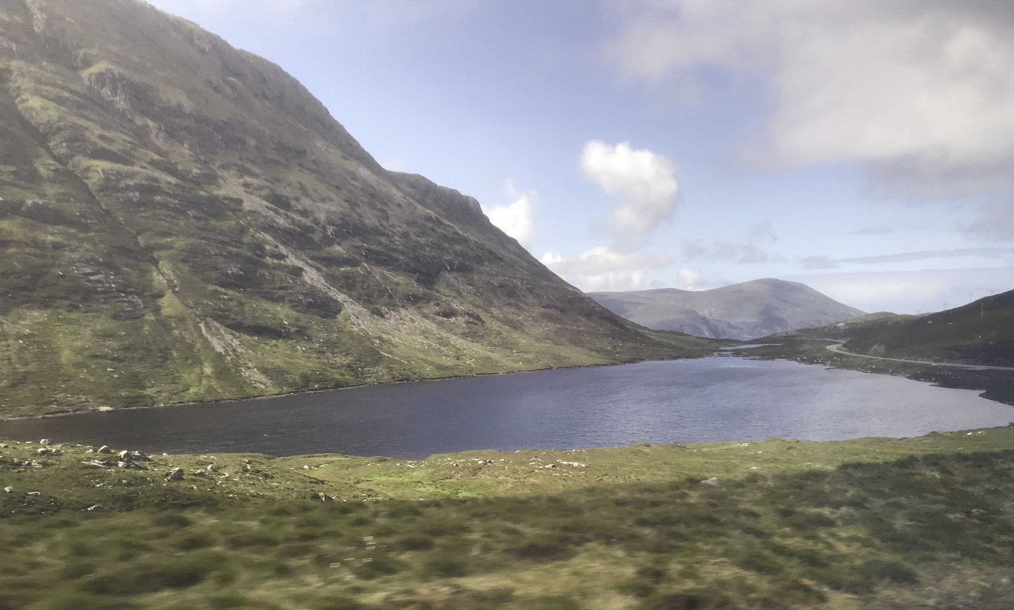
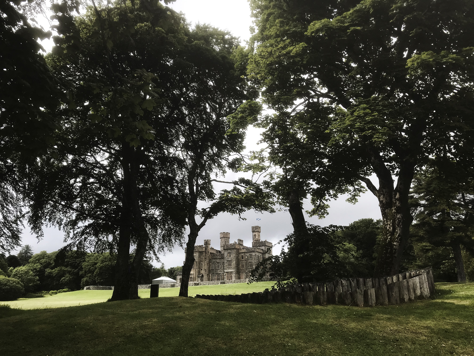
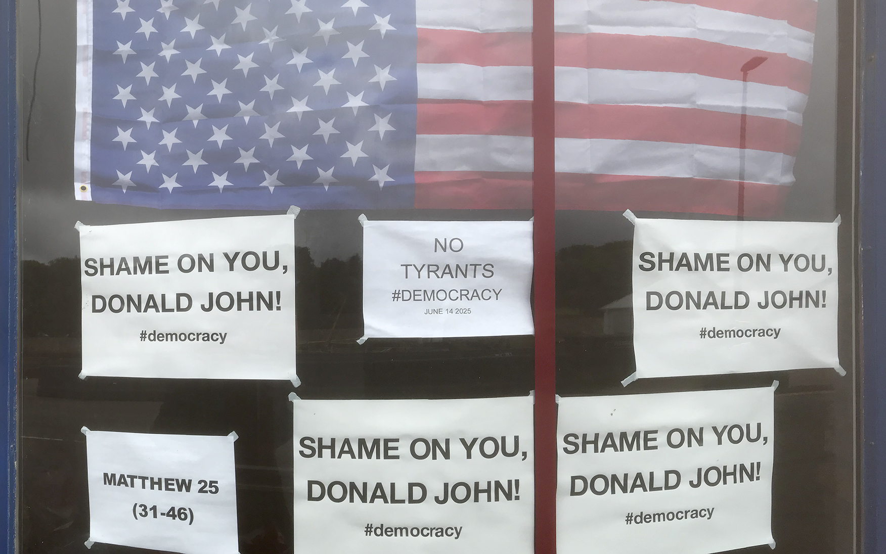
Now I was heading back towards Stornoway. The weather was bad and the bus times didn’t allow me to stop off at Callanish with anything approaching sensible timings. This was something of a bugger. The visitors centre wasn’t open, so if I stopped I would have been stuck there for hours with no shelter from the rain, so reluctantly stayed on the bus to Stornoway. It was times like this where a bike would have been so useful, and I did miss having it. The bus station did left luggage for a few £ so I was able to leave my heavy stuff there and visit the Lews Castle and Museum nan Eilean. They have a few Lewis chess pieces, and there was an exhibition about those who emigrated to the Americas – very sobering to see this from the point of view of these people and something a certain DJT seems to need reminding of.

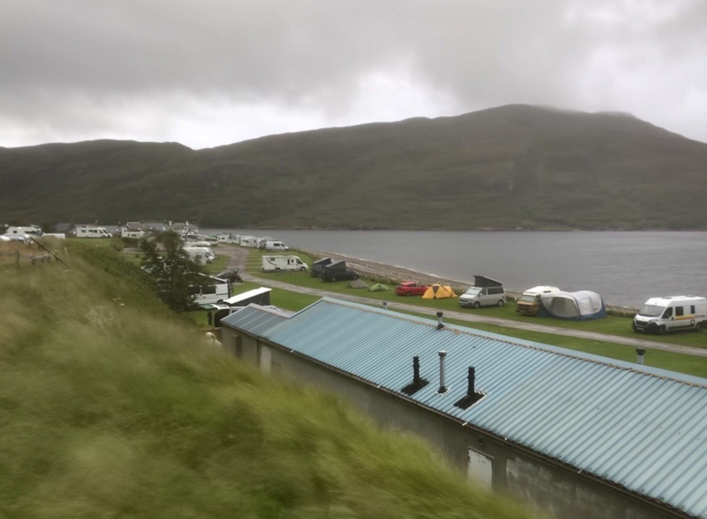
There’s campsite just outside Stornoway at Laxdale (should have stayed there the first night!) which was again fairly busy but nice with good facilities.

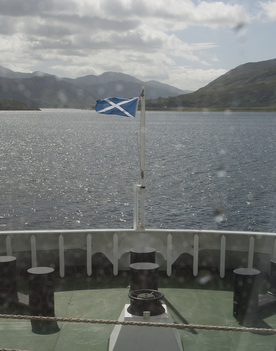
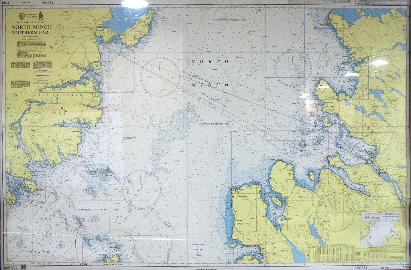
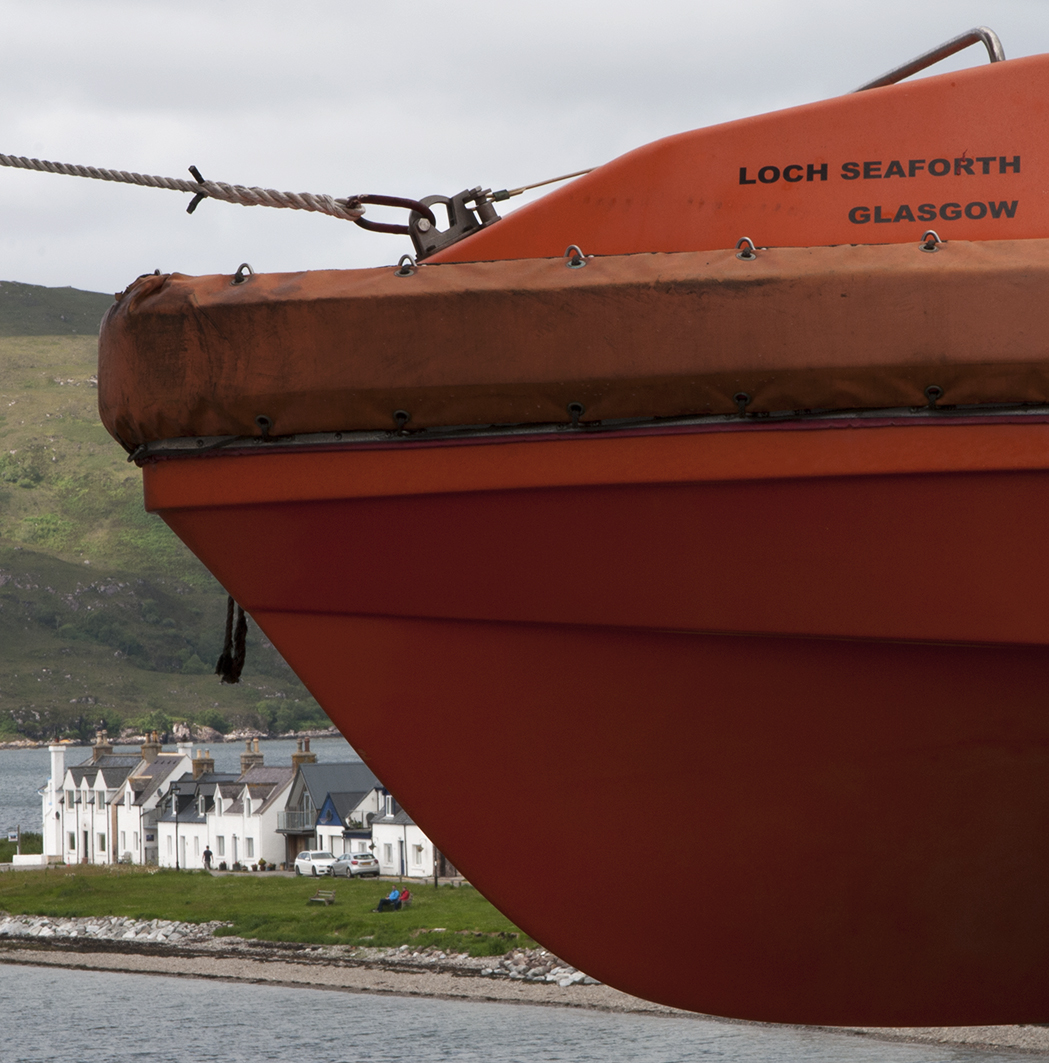
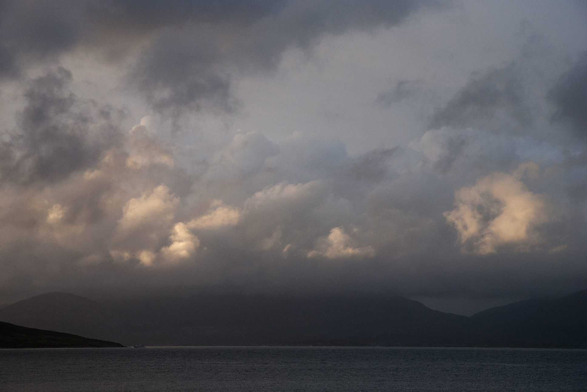
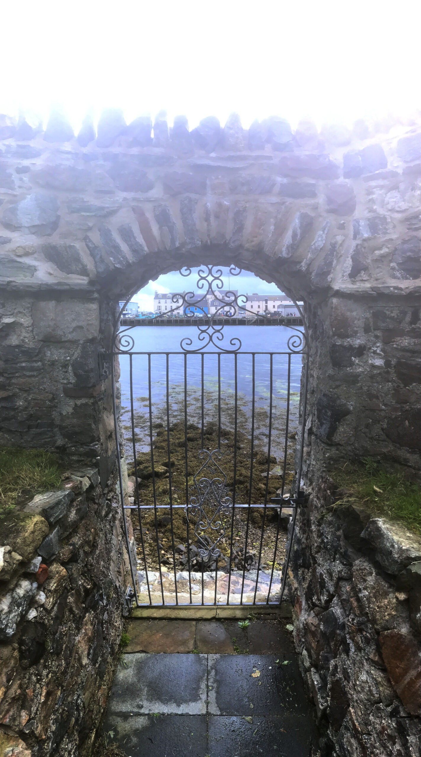
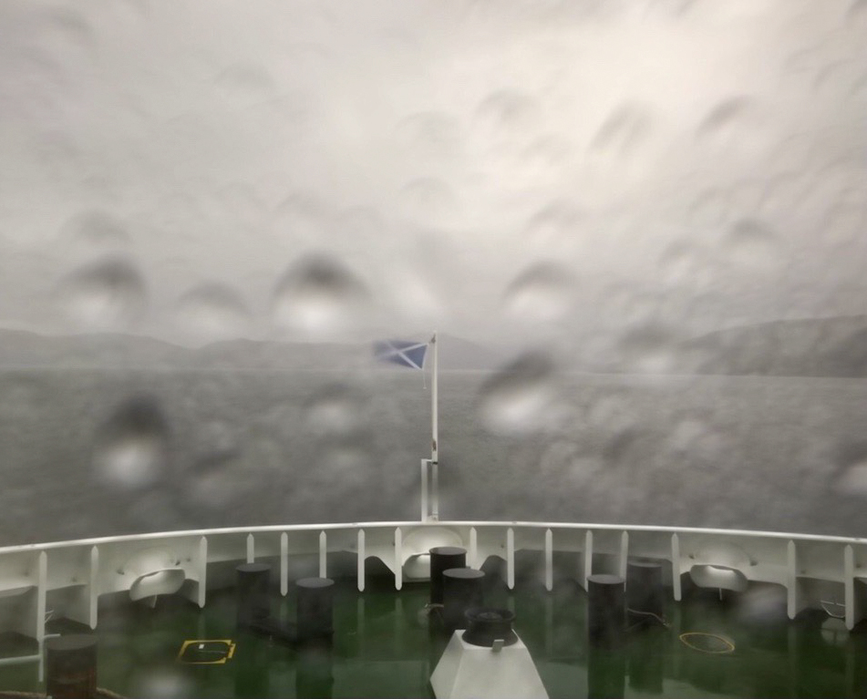
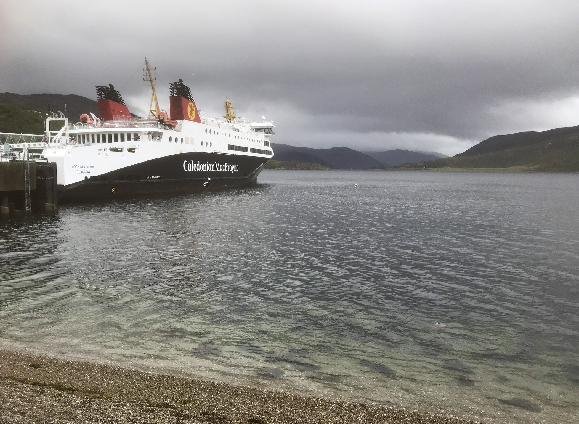
Ferry back to Ullapool where I camped, again the weather was a bit unfriendly. Seems like a nice town and good to see the ferries coming and going in Loch Broom.

Finally the bus to Inverness and trains back to Leeds.

Cotswold Way

21-22/06/25

Many of these photos were taken by Fiona, and the order of presentation and narration is somewhat random.

One of my sisters is receiving treatment for breast cancer in Cheltenham; I went to an appointment with her and spotted this fundraiser. I managed to persuade my brother and other sister to enter. They had better palmarès than I did; Rory and his friend walked the 70 mile boundary of a parish, and Fiona has run the Oxford half marathon the last few years.

There were hills and wolds:

Most of the route was on excellent footpaths:

We (well, not Rory) were born in Gloucester, but it’s a long time since we moved away and most of the route was unfamiliar. This turned out to be the first of many heatwaves in the UK this summer, which was a real challenge. I’m used to Audax-type events so something more supported was a little different, although there was a lot of the same spirit.

We got to Painswick, which was the quarter point, pretty well. Naomi and Claire came to meet us there:

The next leg, to Coaley Peak was ok, but we were slowing. On to Wotton was a real trial, we were struggling with nausea and dizziness. The tip from the organisers was to drink water at every km marker, but given the heat we were most likely still dehydrated. We couldn’t take on any food at Wotton and after much deliberation we decided that going back out in the cold and dark was not a good idea, and retired. That turned out to be a whole other adventure, with a coach driven by someone who had clearly never seen it before and couldn’t get above 2nd gear. Finally we got back to the Cirencester start where rescuer Chris had been waiting for quite some time to drive us back to Oxford.

We managed to raise an amazing £3k, but were disappointed that we didn’t complete the full 100 km. Next year we will do the second half of the event (which should be easier than the first).

55 km, 1,616 m climbed

River Eden misadventures

20/09/24 Appleby – Kirkby Thorne

A fine forecast so possibly the last packrafting day of the year for this fair-weather paddler. Low water levels so quite a few rock gardens to get stuck in and/or walk through. Very quiet with no sign of anyone else. Lots of yellow wagtails, several kingfishers, a dipper, a noisy buzzard, and even a bat skimming the river for flies in the middle of the day.

A stepping stone crossing at Colby Laithes was quite a challenge to get over (not sure I’d like to walk the crossing either) and could be a hazard in high water.

Progress was slower than I had hoped, after starting off from Appleby around 12 pm I finally reached Bolton Bridge at 2.30 pm and had a long overdue lunch on a patch of stones under the bridge.

On reaching a bridleway ford near Kirkby Thorne I thought I had better get out and walk back to Appleby rather than press on for Langwathby which was still some distance off. I don’t yet have much of a feel for speed on the packraft (well, maybe I have a better idea now). A tractor crossed the ford but then it was deserted again and I was able to get changed without causing any passers-by offence.

There is a straight bridleway along an old Roman road to Appleby, however to get to it avoiding the A66 involved a detour via Long Marton.

I spotted a footpath along a stream which looked nice and would cut off a corner following the road. Alas on crossing a stile I put my foot in a hole and went over on my ankle. My rucksack provided a soft landing, but I could tell I had done some mischief straight away. I struggled over a couple more stiles to the road, and made a walking stick out of half of the packraft paddle, and very slowly limped to where the road met the A6. My ankle had swelled up immediately and was very challenging to walk on. Managed to get a taxi back to Appleby and even made the train I was originally looking at.

A visit to A&E the next day showed it was not broken, but I left with a foam boot and crutches, putting an end to any further adventures for a little while.

10 km paddling, 7 km walk/limp

Cairngorms

Late September 2020 (which turned out to be the coldest for over 20 years in Aviemore)

Glenmore Campsite

Ben Macdui and Cairn Gorm

Around Loch Morlich and Loch an Eilein

Packraft hire on Loch Morlich

Ingleborough again

07/01/18

Off the bike and a fantastic weather forecast, so revisited Ingleborough although this time a linear route from Ribblehead to Horton. It was a Sunday so the trains were few and far between…happily the pub was open, and the waiting room in the station was warm and dry.

Whernside and the Ribblehead viaduct Pen-y-ghent Path up towards Ingleborough Towards Whernside Ingleborough

Top of Ingleborough Top of Ingleborough Top of Ingleborough Top of Ingleborough Top of Ingleborough

Ingleborough Limestone pavement near Horton-in-Ribblesdale Paths in the Yorkshire Dales

Route map

Ingleborough: Hewitt, HuMP, Marilyn, Nuttall; 724 m/2,375 ft

Great Knoutberry and Blea Moor

16/08/16

Another walk from Dent to Ribblehead, this time on the eastern side of the train line.

Dentdale

Following the road up from Dent station I joined the Pennine Bridleway as it follows the contours of Great Knoutberry.  Leaving the track I followed a fence up towards the trig point, from which all three peaks can be seen – visibility was good if a little hazy.  Curlew were disturbed on the way up, although I don’t think it was only me as there was a large bird hovering above.  As well as the trig point at the top there is a also a nice wind shelter; a section of wall with stones protruding as benches on either side.

Great Knoutberry Hill trig point The Three Peaks from Great Knoutberry Hill

Navigation was so easy as to verge on boring but I still almost followed the wrong fence down from the summit.  The correct fence is also the Cumbria/Yorkshire border.  Eventually I met the track at Aysgarth Moss which was a cross roads of bridleways; the west-east track being an old drovers road between dales.  I took the north-south route around Wold Fell which is a restricted byway, although given the more stringent restrictions on the surrounding routes I’m not sure how you could make the most of it.  This is a fine track and I would like to revisit it on a mountain bike.  There were lots of wheatears which were curious but seemed to find rabbits’ burrows a useful shelter when I got too close.

Bridleway Bridleway

The track meets a road for a few hundred metres before continuing around Blea Moor.  I stopped for lunch at the first gate and was visited by a curious weasel – it looked at me as if I was sitting in its way.  After a couple of laps of what is presumably a well-trodden route, followed by discrete surveillance from a patch of reeds the weasel disappeared.  Very quick and difficult to photograph but a lovely moment.

Weasel

Although following bridleways was easy it had become a little dull so I decided to change my plan and head up to the summit of Blea Moor.  This involved more fence-following and lots of bog-dodging.  A vehicle had been driven over here recently – probably to repair the fence judging by the old rusted sections and new posts and wire – which made tracks to follow.  At the most difficult section I thought I was going to have to use the fence as a bridge but instead found a reasonably clear crossing.  I saw a couple of traps and wondered if they were for the weasel…perhaps it had been threatening the grouse population.  I only saw a couple of grouse, maybe after the 12th most of them have gone.

Trap found on hillside Trig point on Blea Moor

A fence junction was near the trig point of Blea Moor – there are air shafts near but out of sight, over the railway tunnel.  The best way down seemed to be to follow yet another fence – one now fully in Yorkshire.  A bit of bog-dodging was required, and eventually I met the path which follows the railway.  This was the first time I had seen other walkers since I left Dent station.

Trig point on Blea Moor Towards Pen-y-ghent from Blea Moor Ribblehead viaduct

I saw the 3.42 pm train come and go, so was happy that I had a couple of hours before the next one to spend in the Station Inn.  A better back garden is hard to imagine.

Ribblehead viaduct from the pub map of route

9.7 miles, 1,657 ft climbed
Great Knoutberry Hill, 672 m; Marilyn, Hump, Hewitt, Nuttall,
Bleh Moor, 535 m; Hump, Dewey

Wild Boar Fell

29/03/16

After a few days at the parents’ over Easter I travelled back home through the dales, leaving the motorway at Tebay. After finding a campsite I spent the afternoon walking up White Boar Fell.

Howgills From Wild Boar Fell towards the river Eden and Kirkby Stephen Cairn on the path up White Boar Fell Road and train line through the valley looking from the steep edge on White Boar Fell Looking south-ish from White Boar Fell Route taken up White Boar Fell

I could see rain in many directions in the distance but was lucky and missed it.  Snow on the Howgills; I had hoped to walk that way on the next day but it became very wet with low cloud so I made my way home.

Trig point on top of White Boar Fell Rain on the Howell Fells Route of walk on White Boar Fell

8.8 miles

Wild Boar Fell, 708 m; Marilyn, HuMP, Hewitt, Nuttall


Whernside

23/01/16

Whernside from Dent station, finishing at Ribblehead, staring with a walk along the road beside the little River Dee and the Settle – Carlisle train line.

River Dee, next to the railway line near Dent North entrance to Bleamoor Tunnel Railway line near Dent Head Viaduct

There is a very straight path directly over the Bleamoor tunnel, with several air shafts along the way.

Path towards Blea Moor Air shaft above Bleamoor Tunnel Ingleborough from Blea Moor

Then up to the top of Whernside through a few snow patches.

Whernside Path on Whernside Snow on the path on Whernside Snow on the path on Whernside Looking towards Dentdale from Whernside


Cloud on the top came and went.  We could see Ingleborough with a permanent toupeé.  The wall marks the boundary between Cumbria and North Yorkshire, the trig point is on the Cumbrian side.

Summit of Whernside Summit of Whernside Towards Ingleborough and Ribblehead Viaduct from Whernside Dentdale from Whernside Snow on Whernside Trig point on Whernside Walkers at Trig point on Whernside

After a steep but thankfully not icy descent we walked under the Ribblehead Viaduct just as the light faded and the rain started.

Looking towards Ribblehead Viaduct Whernside ridge, looking south Whernside ridge, looking south Whernside ridge, looking south Sheep and the Ribblehead Viaduct


whern160123_route-elev Whernside route

10.5 miles

Whernside, 763 m; Marilyn, HuMP, Hewitt, Nuttall, County Top (North Yorkshire)

Ennerdale

06-08/11/15

My late night arrival was rather mysterious.  Ennerdale youth hostel is up a one-way forest track, so this looked right.

Track approaching Ennerdale YHA

Saturday morning and the weather was as forecast.  But still better visibility than in the dark.  It’s a lovely hostel; small, out of the way…although we did have some early morning callers after tea bags…

Ennerdale YHA Pillar from Ennerdale YHA


We walked along the track towards Black Sail YHA; great spot, I remember camping near here twenty years ago on a Duke of Ed expedition.  Almost a bothy.  Then it was up Scarth Gap Pass and on to Hay Stacks.

Pillar from Ennerdale Fly Agaric Black Sail Hut Tea break heading up to Scarth Gap Pass Heading up to Scarth Gap Pass Tea break heading up to Scarth Gap Pass Scarth Gap Pass


Fast moving clouds meant that the rain and the views came and went (the rain mostly the former, the views the latter).  It was windy and wet on top, so we had a very quick lunch before heading back down via a couple of tarns, one of them Wainwright’s ‘Innominate’.

Hay Stacks Outdoor Lads on Hay Stacks Buttermere from Hay stacks Heading towards the Innominate Tarn on Hay Stacks Innominate Tarn on Hay Stacks

Strong winds drove the rain straight into our eyes, and new streams appeared on the hillsides as the water found its own way down.  The ground levelled out as we approached Black Sail.  We walked amongst the drumlins that had appeared as little lumps earlier, but now they were significant mounds and seemed rather mystical.

Eventually there was a very welcome drying room, tea, showers, dinner, and fireworks.  The wind and rain were worse on Sunday, so after cleaning the hostel we headed home.

Sparkler and wine Ennerdale YHA Haystacks beer


Route of walk to Hay Stacks, Ennerdale

9.5 miles, 1750 ft/533 m climbed

Hay Stacks; Dewey, Wainwright, 597 m/1959 ft