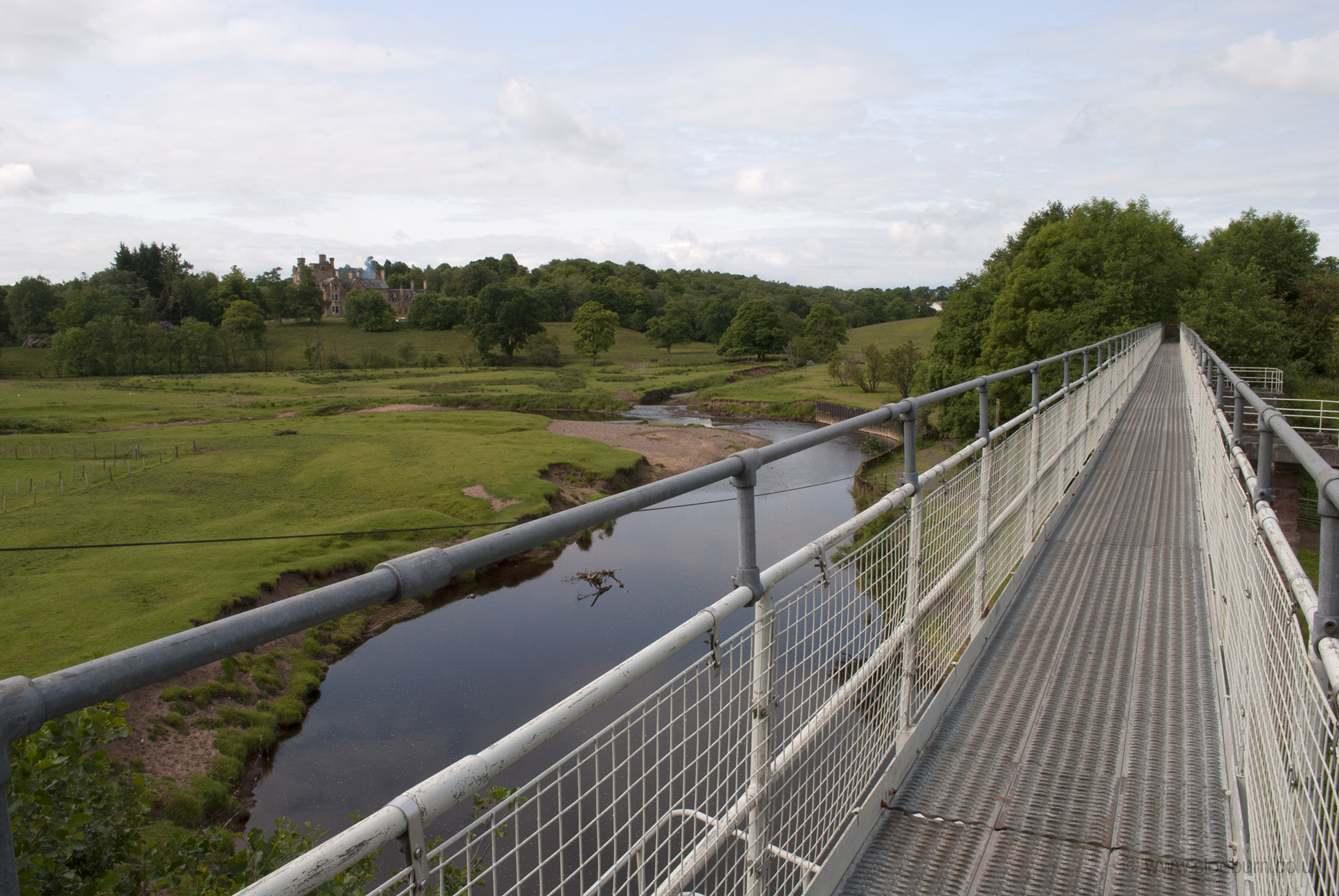
I followed route 7 all day today, which is well signed and mostly off-road. Some of it is very off-road, but the bike coped magnificently over the rough stuff. It was fairly easy going to start with, although this bridge was a little scary - just wider than my panniers and seemingly made of cheese graters.
Park of Drumquhassle.
At Drymen I met up with the West Highland Way, which was quite busy with walkers and had a great little shop catering for them, which was nicely stocked with useful food. Minor roads to Aberfoyle, where I stopped for a tea room and postcard-writing break. I knew I'd have more time today than the last couple of days, so it was nice to relax a bit. I bought a postcard of a map of Scotland and put a dot for each place I'd stopped so far, and continued to do so each night, which was a good way of getting a feel for where I was in the bigger scheme of things. The scale of my maps changed here (from 1:100,000 to 1:200,000) so I had to get used to judging time and distance again, although at least the maths wasn't too difficult, and it meant that I didn't have to swap sheets so often.
The next section was slow stony forest track, zigzagging uphill. There were a few walkers but the only other cyclists I saw were a couple of mountain bikers.
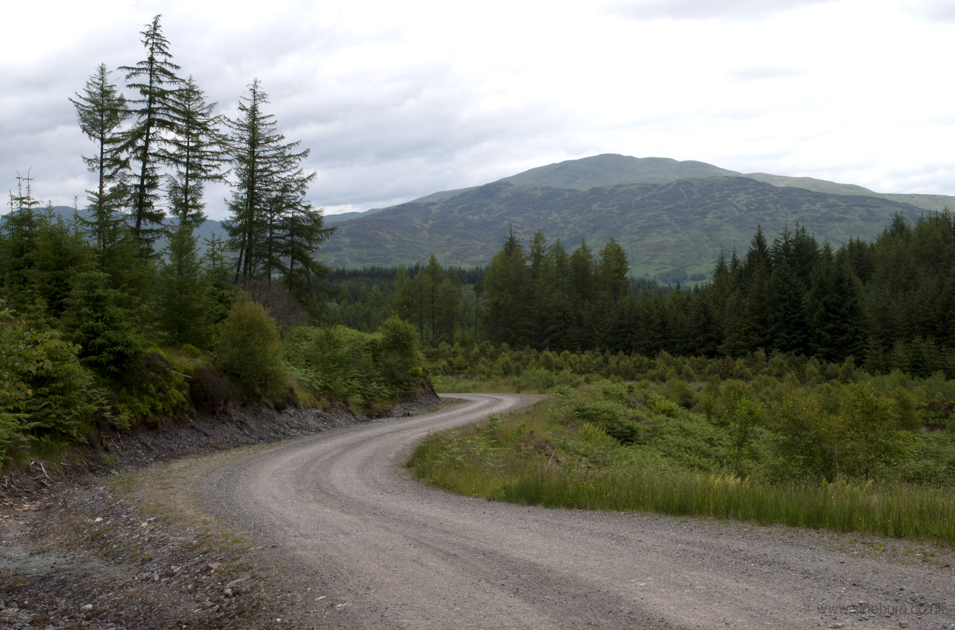
Queen Elizabeth Forest Park, about to start going down towards Loch Drunkie.
Emerging out of the forest and on to a flatter section I met a woman with a loaded up tourer, walking. She was having a rough day and not feeling well, so was hoping to be able to stop as soon as she could find a hostel. The track followed the edge of Loch Venacher and slowly became a road before arriving in Callander, then turned west through the Pass of Leny. Words like 'pass' always bother me, what with the suggestion of climbing, but this appeared to be an old railway line so wasn't too bad. It was quite sheltered and woody, so midges appeared whenever I stopped.
I continued along forest track all the way up the west side of Loch Lubnaig, and then a small u-turn took me to Immervoulin campsite. A rather nice spot, and quiet. It was quite a big site, and all of the grass was being cut by someone with a push along mower, and a grass box, yippee! How many times she had to empty it I hate to think.
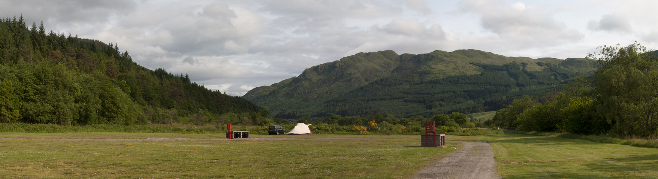
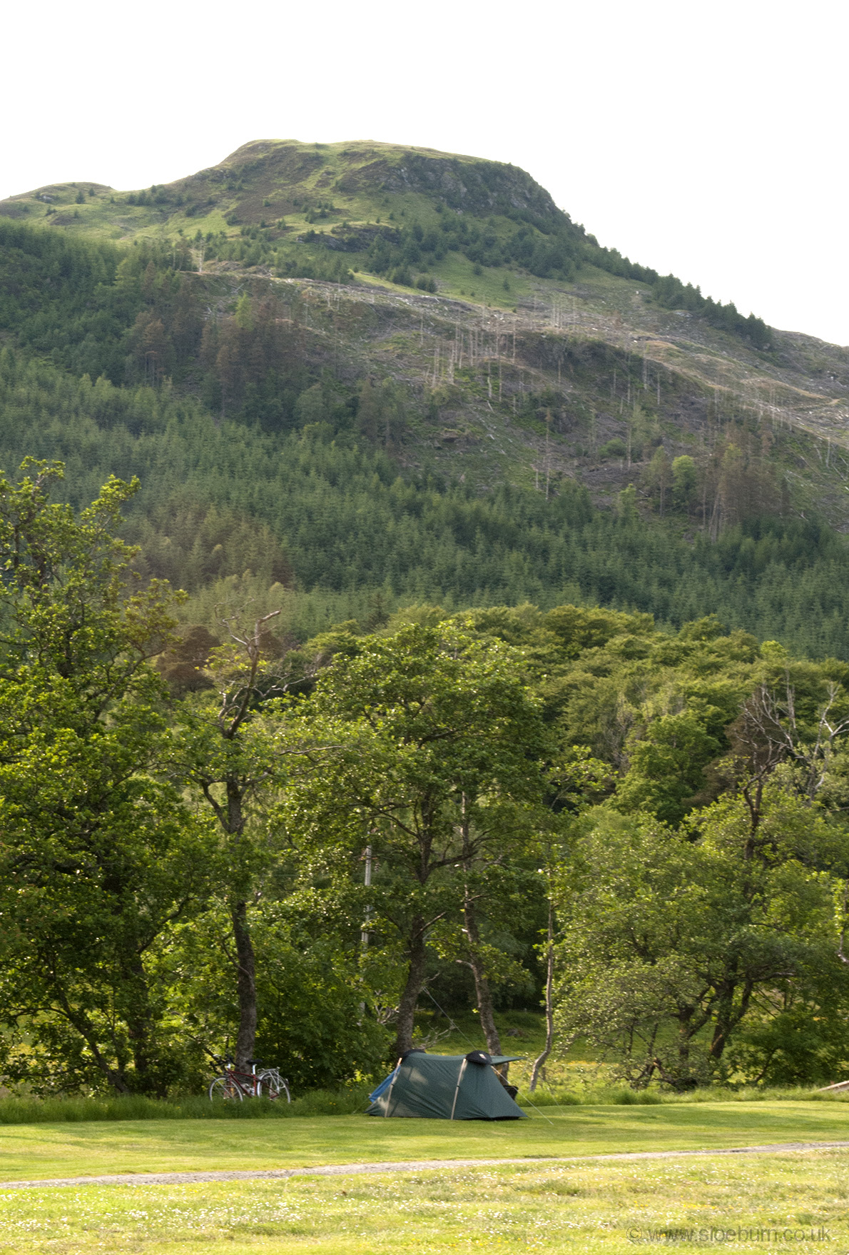
Immervoulin campsite.
At the campsite I met a woman who, with her husband, had a landscape photography business and shop in the Lake District. On the verge of retiring, they had bought a camper van and were on one of their first trips in it. She told me about all the wild camping they had done when they were younger, with all their photographic kit outside the tent under waterproof capes at night, and later with their children in a bigger tent requiring a trailer, which sounded familiar. Later on I walked into Strathyre village and paid a visit to the Inn, which was very nice and had Harviestoun Bitter & Twisted on tap, which makes it worth a mention. There I met another couple from the Lakes, of similar vintage, also with a van. They were keen walkers. Not a bad way to spend one's retirement.