A dry day with some sun, but still the wind in my face all day. A bit more climbing out of Abington along a nice (if a little rough) cycle track at the side of the road. It was very quiet, I don't think I saw anyone else on a bike.
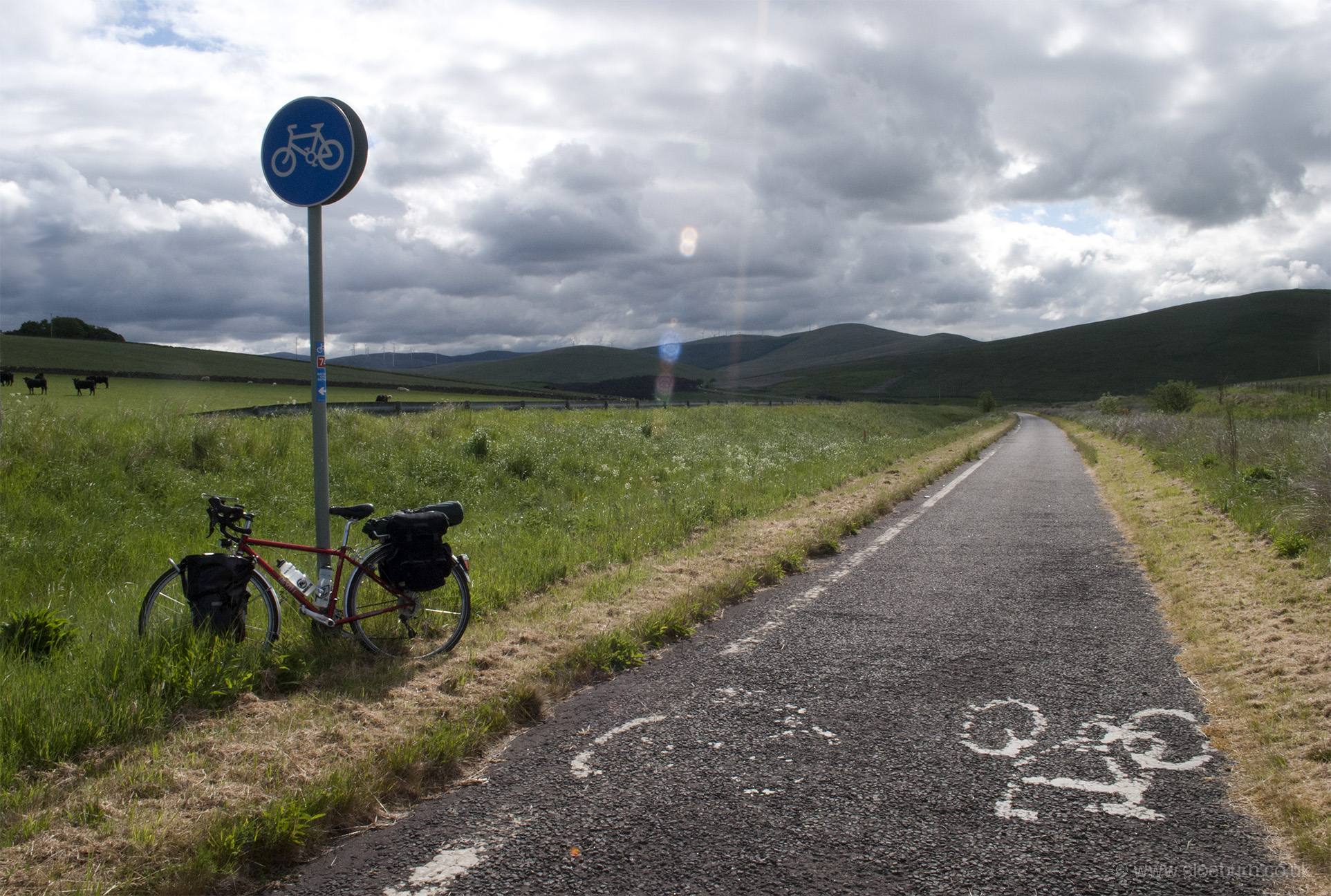
Looking south, towards one of many wind farms.
The descent towards Lesmahagow would have been more enjoyable if the road surface had been smoother; my map was shaken out of its holder and was driven over once before I managed to retrieve it. The road surfaces south of Glasgow were the worst I encountered on the whole trip, and this section into the city wasn't very nice; I wouldn't recommend it.
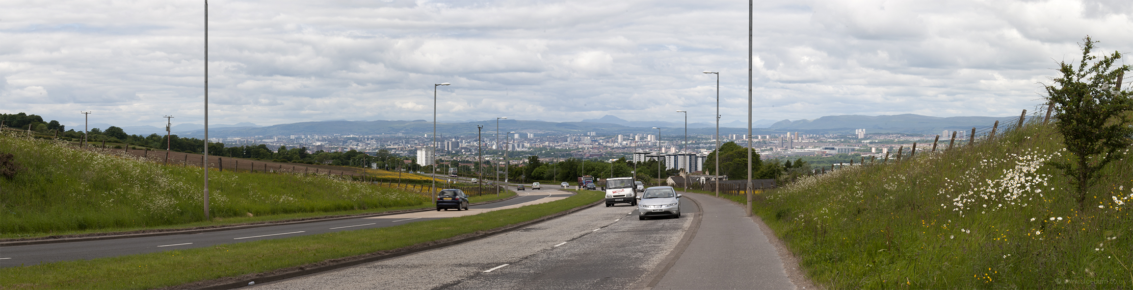
I got a bit lost in Lesmahagow and spent a while riding around to find my way out, and then headed to Strathaven via Boghead (which seemed fairly appropriately named), and past a turn off to Deadwater. As I said, not a recommended route. By some miracle I found my way through East Kilbride where I picked up route 756, which was helpfully near the train station which was at least locatable. This route was initially signposted well, but soon became mainly indicated by paint on pavements, which was rather degraded. Developing a sixth sense into how NCN routes work was most useful as most of the guesses I had to make were largely successful. If you blink and miss a sign here you would find yourself in a residential area of Rutherglen with no idea of where you are or which way is out. There was at least nice stretch between Nerston and the outskirts of Glasgow, giving a view of the city and the hills beyond.
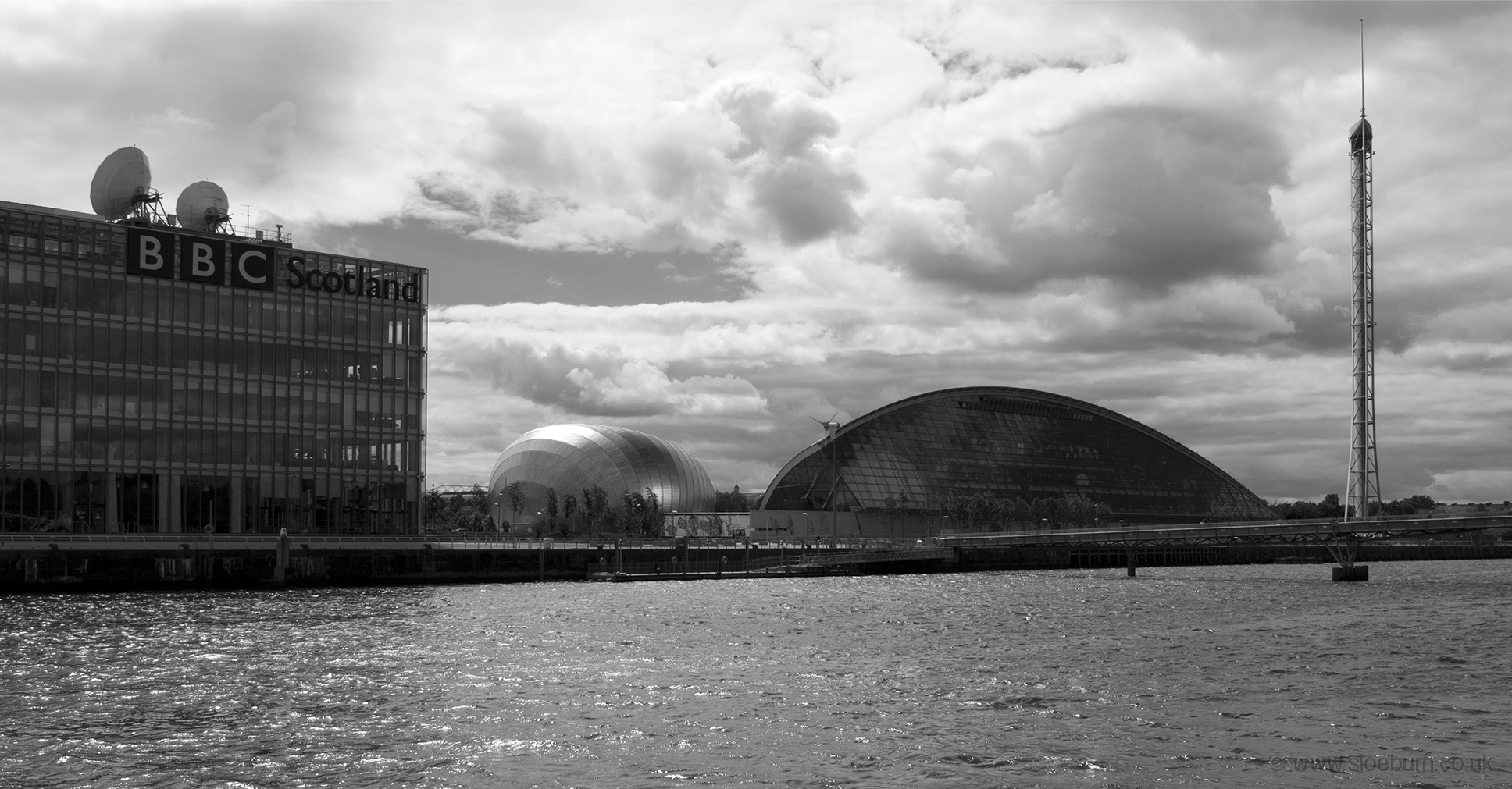
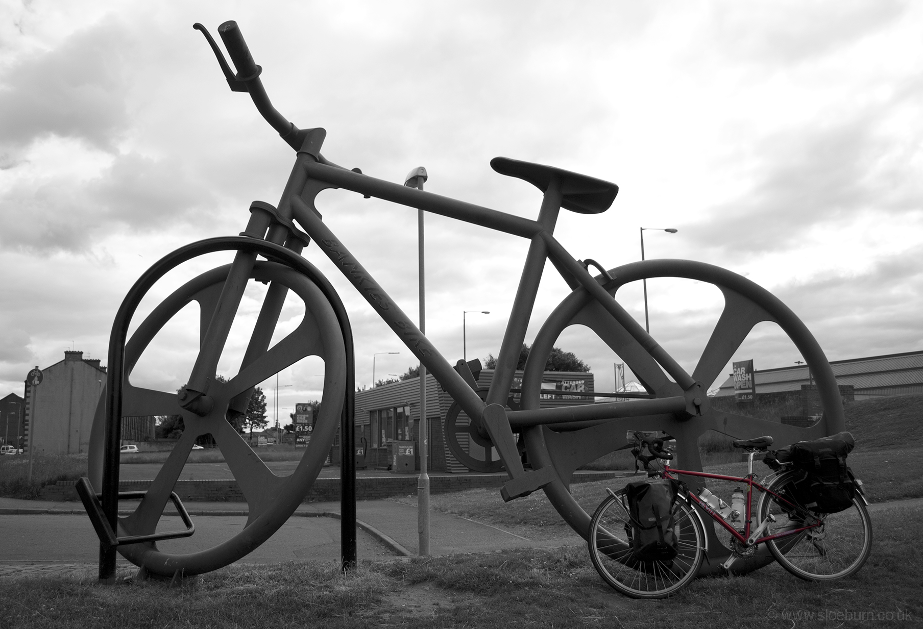
Glasgow.
There are several bits of NCN through Glasgow which are probably quite useful once you get to know them, but it was complicated planning the route. Once I reached the Clyde it was much easier - funny to think I had been next to it this morning in rather different surroundings. I had hoped there might be a bit more coffee around at this point but apparently not without going off-route.
Following the Clyde.
After going along the north side of the river for a while the route joins the Forth & Clyde canal, and then what seemed to be an old railway line, along which were several old towers made from corrugated iron.
Little and large - the start of the section of Route 7 along the Forth & Clyde canal.
The canal goes under the Erskine Bridge, which is quite impressive, and then enters the Clyde at Bowling, where there is a large lock. At the risk of becoming a lock-spotter, I had seen a weird one earlier which seemed to lower the water level to let a boat pass under a road, and then raised it again on the other side.
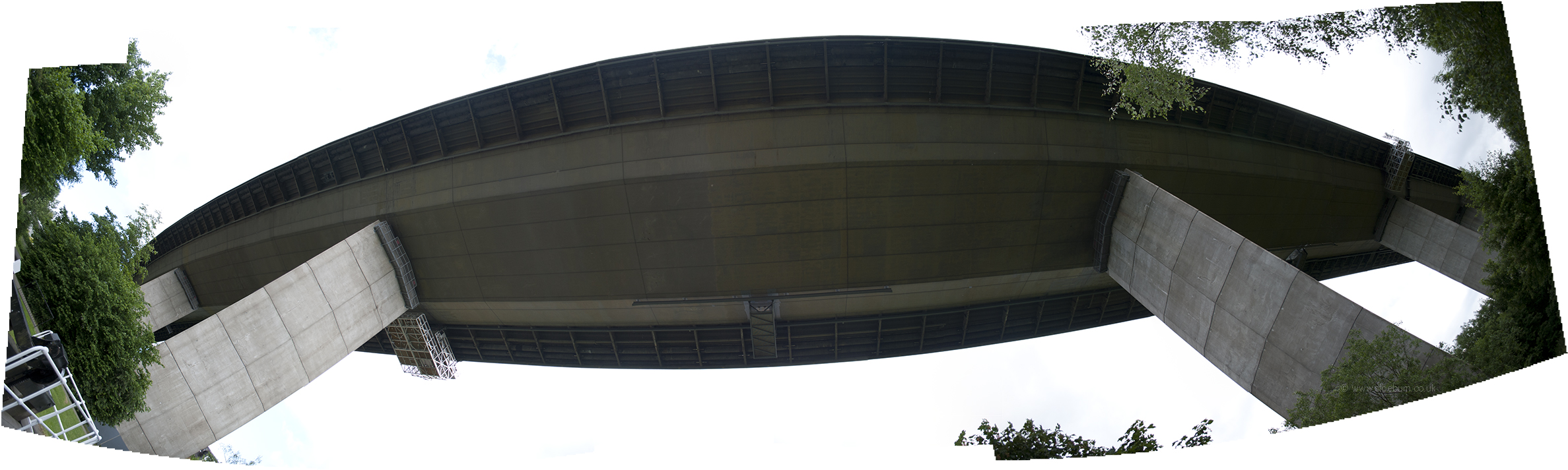
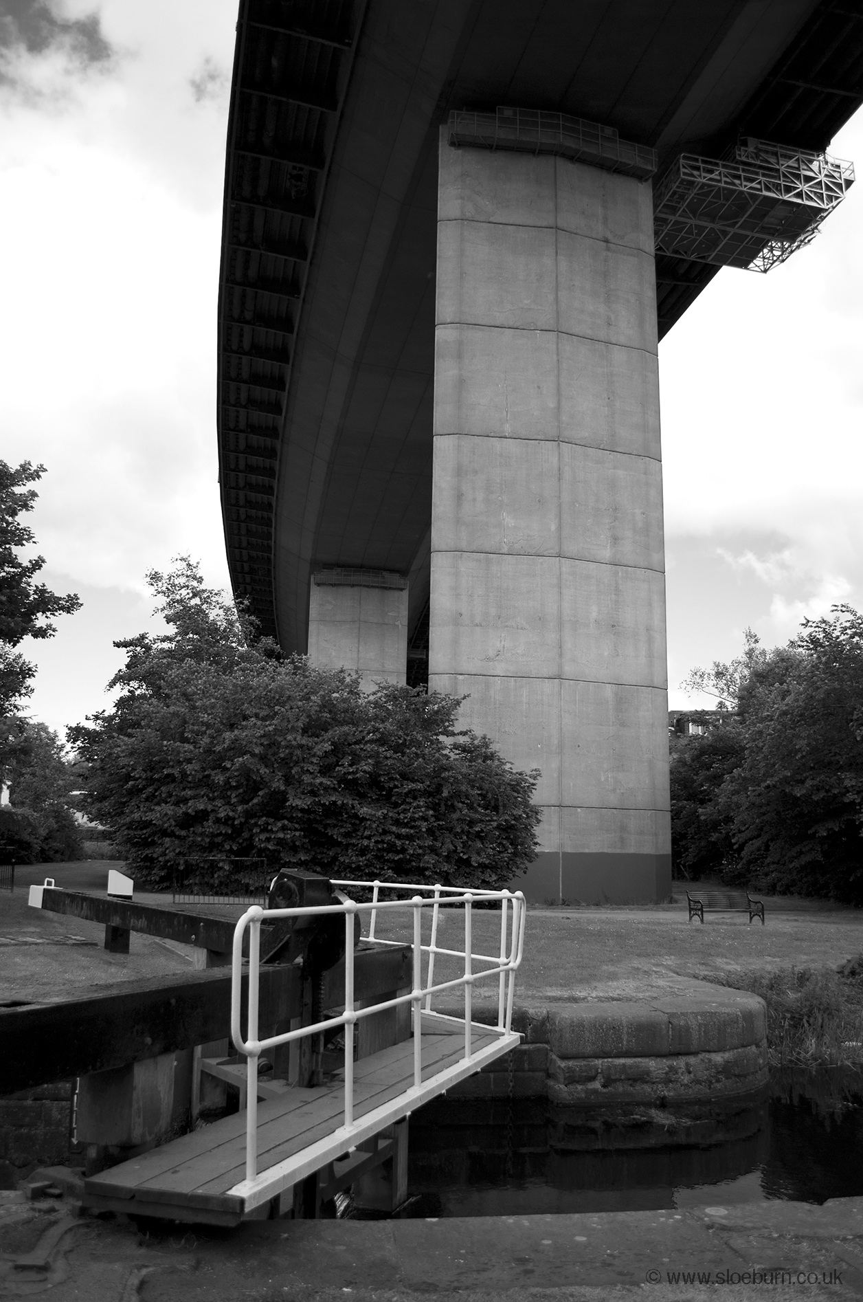
The Erskine Bridge (excuse my messy edges).
Then followed a nice wooded section (traffic free) to Dumbarton and then up the river Leven to Balloch at the south end of Loch Lomond. This was a flat section with good weather but I was enjoying it less than I might have done if I hadn't been so knackered and hadn't had such a painful backside. Every time I set off I had to sit down rather carefully, and once in contact it was best to remain there for as long as possible.
On arrival at the campsite in Balloch I discovered that it didn't take tents, and reception was closed so there was no one to plead with. It was a good few miles to the next one, so I decided to admit defeat and try a B&B, of which there were several advertising vacancies on the main street. I managed to pick one with a very helpful if slightly eccentric owner. He always managed to be there just when I needed something, which is very handy but a little sinister. Amongst other pieces of information (e.g. buttercups are 100 million years old) he told me that the campsite had experienced problems with campers bringing "carryoots and gurrrls" back with them of an evening, hence the tent ban.
This was about the halfway point, which I thought was a good excuse for a nice dinner, although unfortunately I can't remember what the place was called, but it's just out of shot on the right of the photo below. I slept very well.
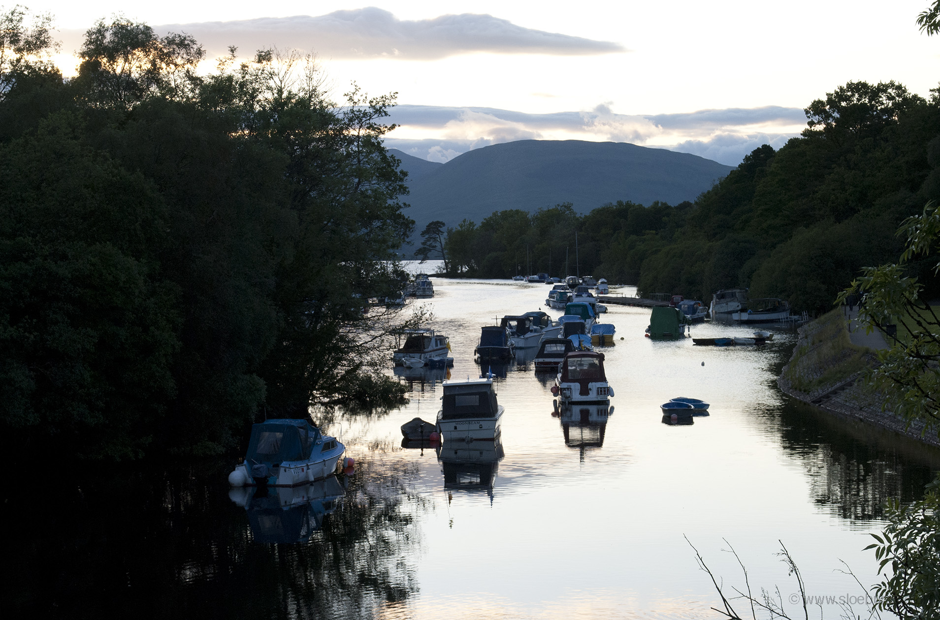
The river Leven leaving Loch Lomond.