After yesterday evening's sunshine it was all change for the wettest day of the trip. I managed to set off by 8.30 am which was probably also a record. The two other cyclists in tents had got up an hour earlier than me but seemed to be engaged in more faffing, although they left first. I changed the route quite a bit today, finding that the main roads had been fairly quiet I stuck to them rather than unclassified ones as planned. It started really chucking it down on the way to Sedburgh, which I went around the edge of. I felt a lot less inclined to stop for photos when it was wet, but some landmarks need to be captured whatever the weather.
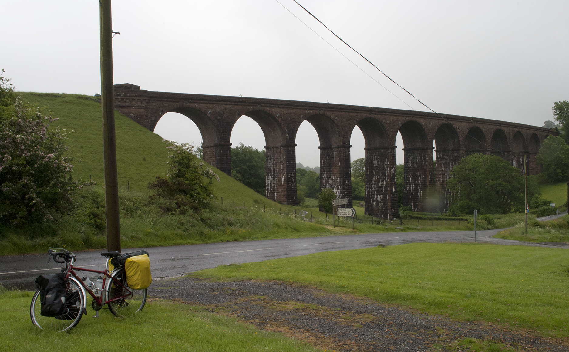
If it hadn't been raining I might have got a nicer shot, with more viaduct and less telephone paraphernalia.
Just after this the road goes under a bridge on the M6, beneath which the two guys from the campsite last night were sheltering. This also marked the point of what turned out to be some heavy climbing, up 500 ft in a mile and a half (150 m/2.5 km). I then joined the A685, losing height nearly as quickly as I had gained it, as the road emerged next to the motorway and railway line as they pass the Howgills.
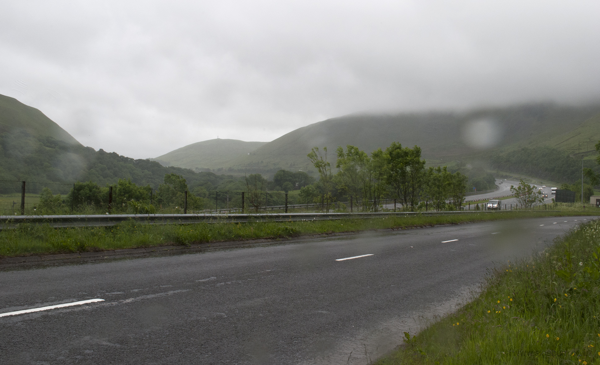
Looking south; you can just make out the road I've come down as a bright wet corner on the hill.
I stopped in Tebay and nearly missed the excellent Old School Rooms teashop which was very quiet, although the family running it seemed to be busy preparing for a village event later that day. I'm afraid I left them with a very wet tablecloth after putting my gloves down on it. Then it was up again, to Orton and then 'through' the motorway - the road actually runs between the north- and southbound carriageways briefly. The day's summit was over 1000 ft (300 m), just south of Shap, where I joined the A6 and stopped to shelter and rearrange my maps.
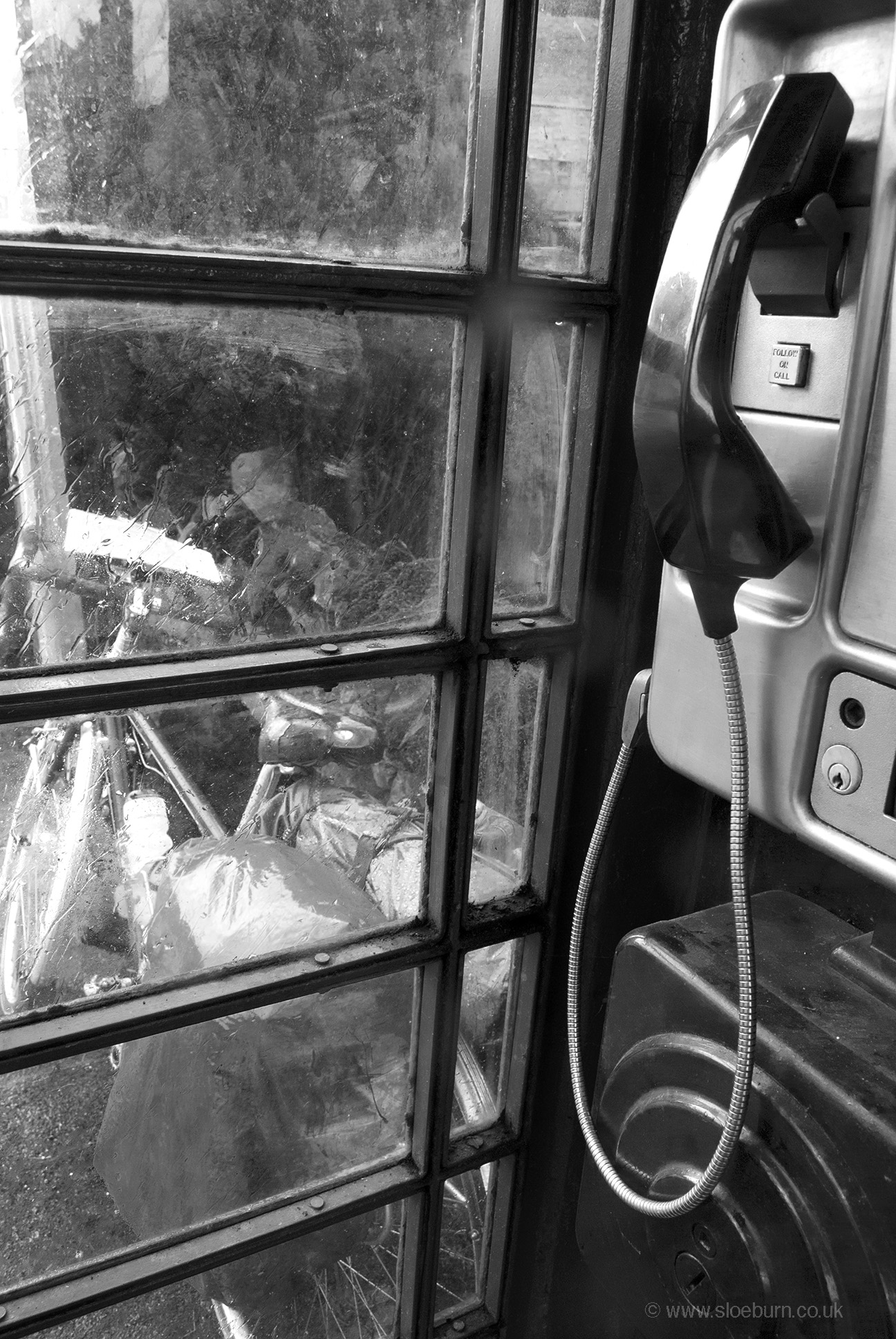
I know they don't get much use for their intended purpose anymore, but phone boxes are still handy.
After this is was downhill to Penrith. I had planned to camp here but as it seemed that I'd arrive about lunchtime I decided that if I kept going to Carlisle, then I could make Abington the following day and get a day ahead of schedule. This would mean not detouring to stop off with family but at least I wouldn't risk getting too comfortable and not wanting to get going again. Another cafe stop in Penrith town centre (one of my few experiences of idiots in cars on the trip), and a couple in there saw my maps and asked where I was going. Their son had done an end-to-end last year, and was currently doing the UK capital cities in a week, which involved 150 mile days. One of them was a Sustrans volunteer and did a bit of signage and route checking - I didn't make any complaints as I hadn't really used any NCN routes around here. The C2C route goes through Penrith and the cafe was literally on it (on a 'cyclists dismount' section).
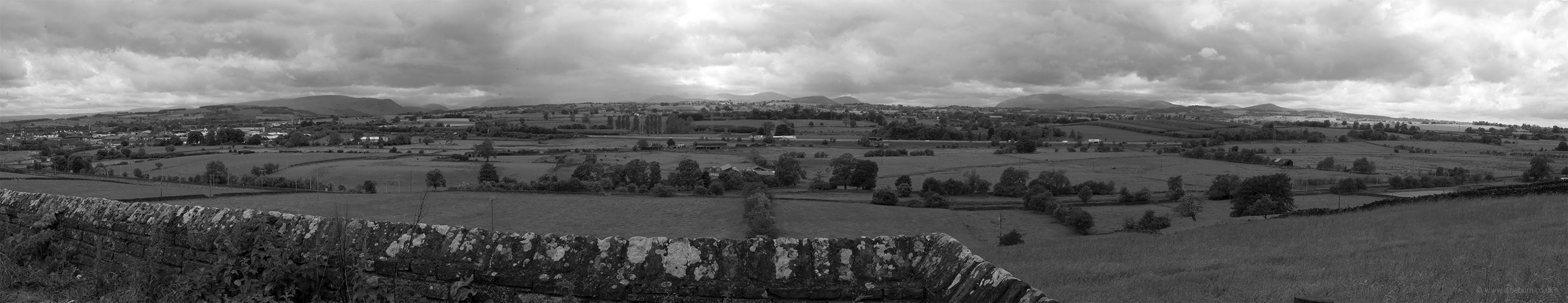
Far over the misty mountains cold… The North Lakes.
I left the A6 at Plumpton, happily as it was getting busy, and crossed the motorway for a nice flat stretch. I was also able to dry off as the rain had stopped. It was very quiet until I stopped to take a leak. A very talkative roadie stopped and advised me on the best route to the campsite that I had found on the map, south west of Carlisle. Another nice site with clean facilities - recently refurbished, the showers were operated by waving one's hands in front of the controls.
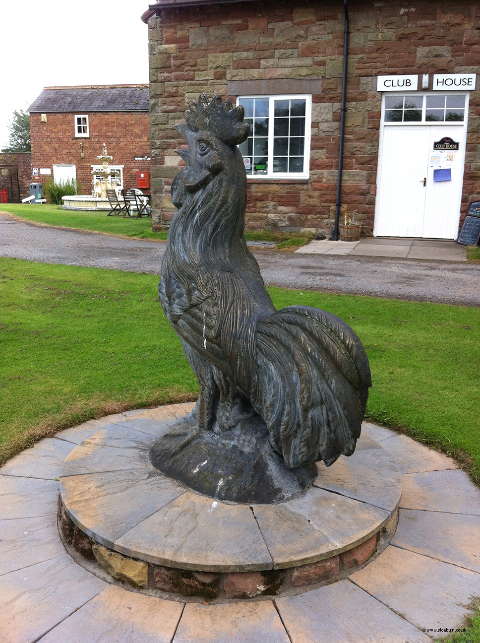
The campsite had a large cock, for no apparent reason. Just lucky I suppose.
Despite the climbs today I had made excellent progress, largely due to having the wind behind me. I sat in my tent this evening - a small green hole - and pondered on my short stature, love of food and ale, hairy feet and the unlikeliness of being an adventurer.