I was really looking forward to today and it didn't disappoint, although it didn't start too well. I took a wrong turning early on and spent quite a while going backwards and forwards trying to work out where I was and get back on track. A sheep farmer stopped me near Dunsop Bridge (to let some sheep past) and asked where I was headed; he was very wary about the road to Slaidburn and over to Bentham ("There's a lot of pushing") so I wondered if I was being a little over-confident.
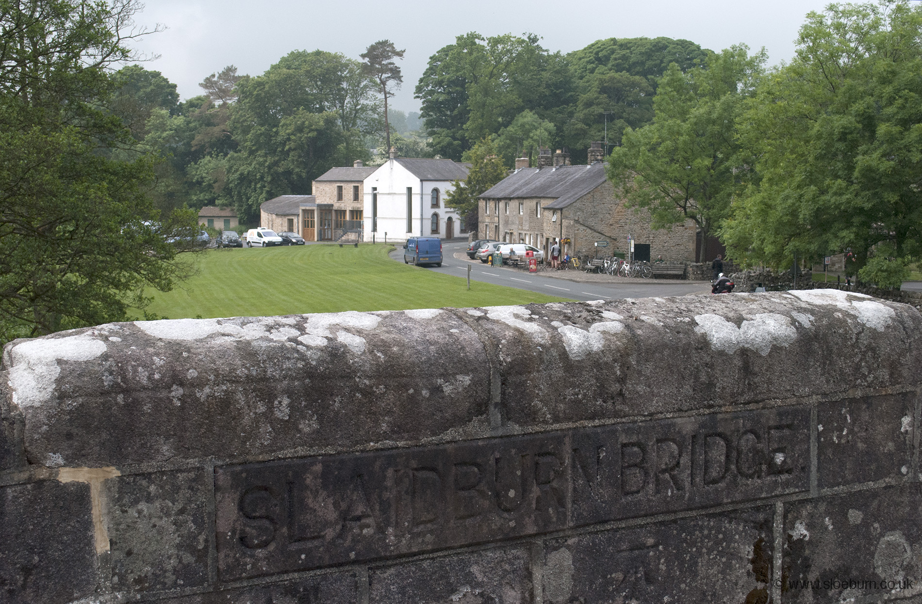
Being a popular cyclists stop-off point Slaidburn has a rather nice cafe which provided some top notch food and seemed used to waterbottle-filling requests (indeed until this trip I had never really 'got' the cyclist's obsession with tearooms, but a few days in and I was becoming something of a connoisseur). It had been quite misty this morning and I'd had my lights on, but it brightened up at this point and the weather got better and better all day - I had to put suncream on at 6 pm.
Some roadies at the cafe suggested I put a couple of bricks in my panniers to make the ride more of a challenge.
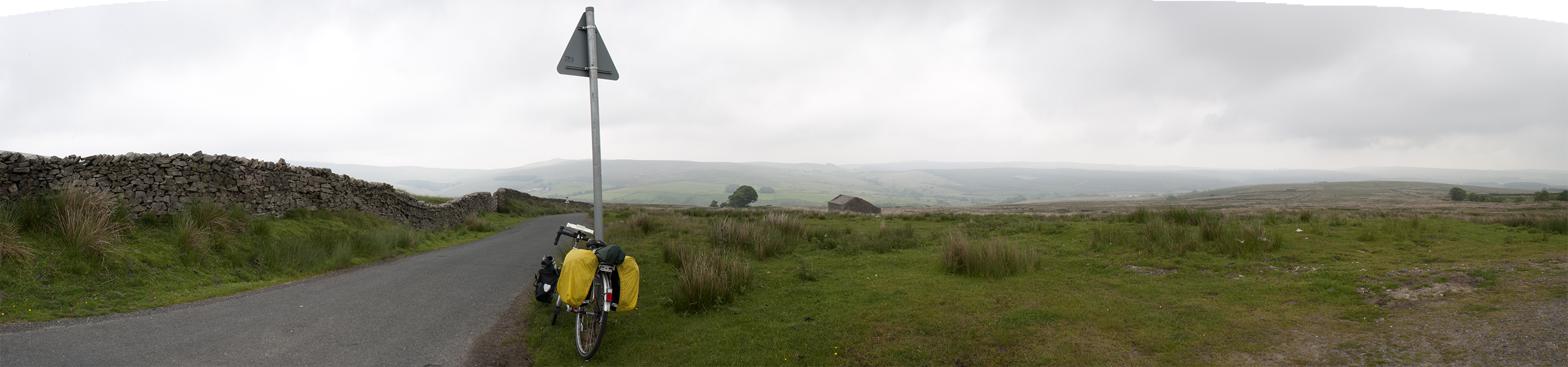
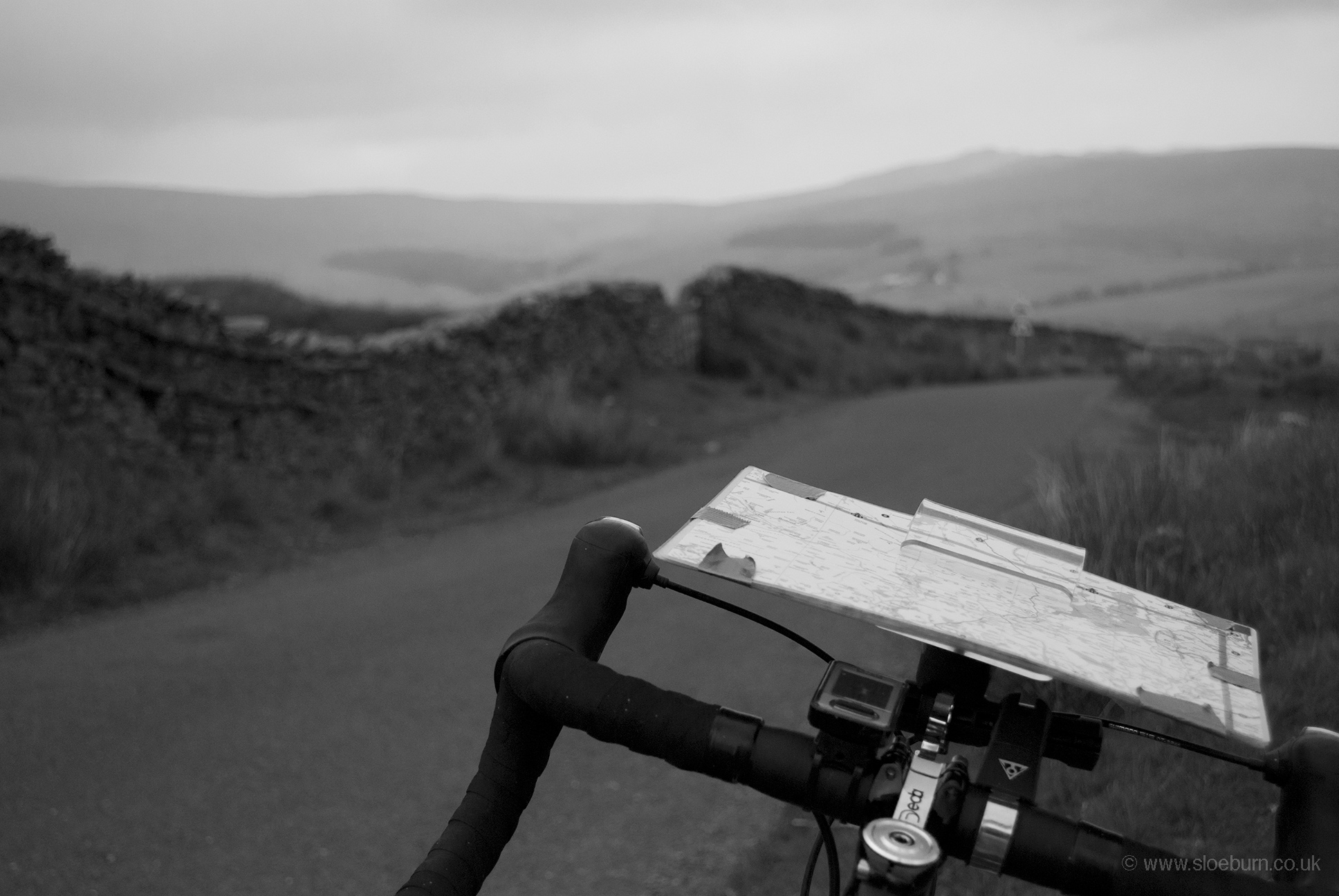
From here I followed route 90, which goes north out of Slaidburn at 148 m (486 ft) and then heads north west through the Forest of Bowland (AONB) up over the pass (which doesn't seem to have a name) to 427 m (1,401 ft). Today was a noticeable change of scenery - moorland and sheep for the first time, with curlews, lapwings and oystercatchers.
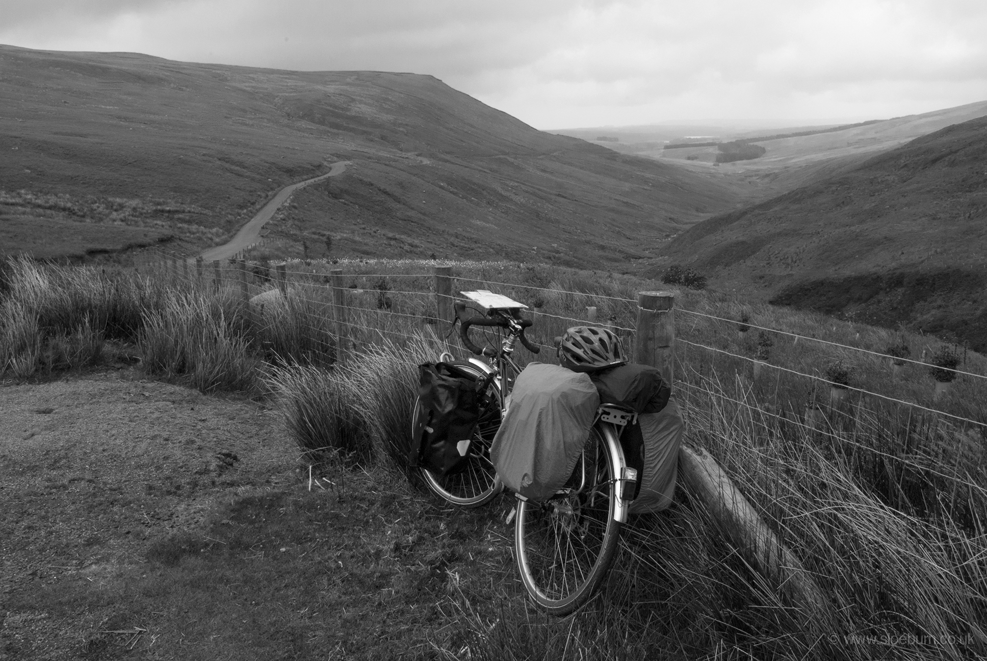
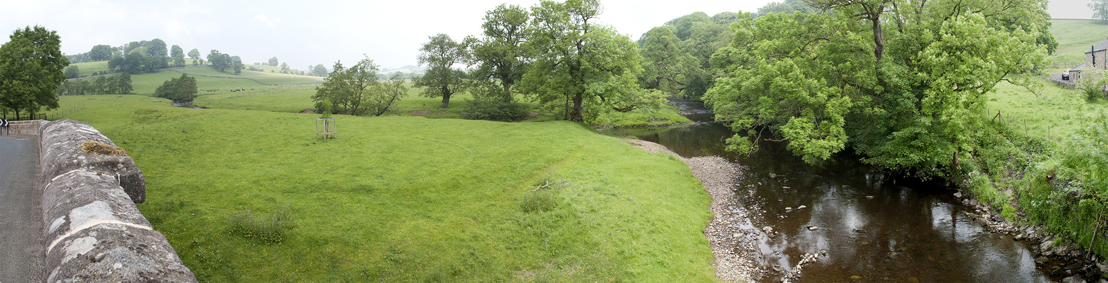
Having a rest and looking back at the way I've come (third photo).
It was really hard work getting to the top, but I managed to ride it all apart from the very last bit (up yours sheep farmer).
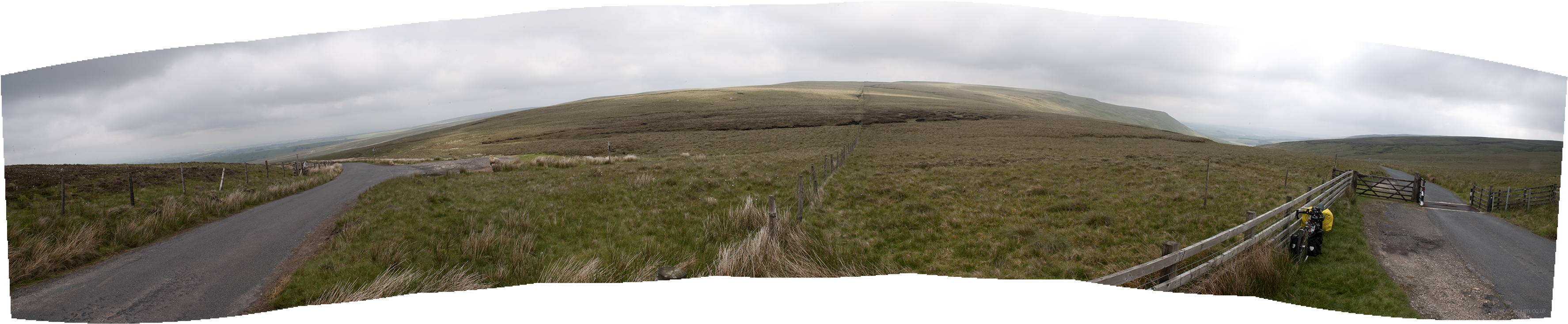
180° view from the top, up on the right and down on the left.
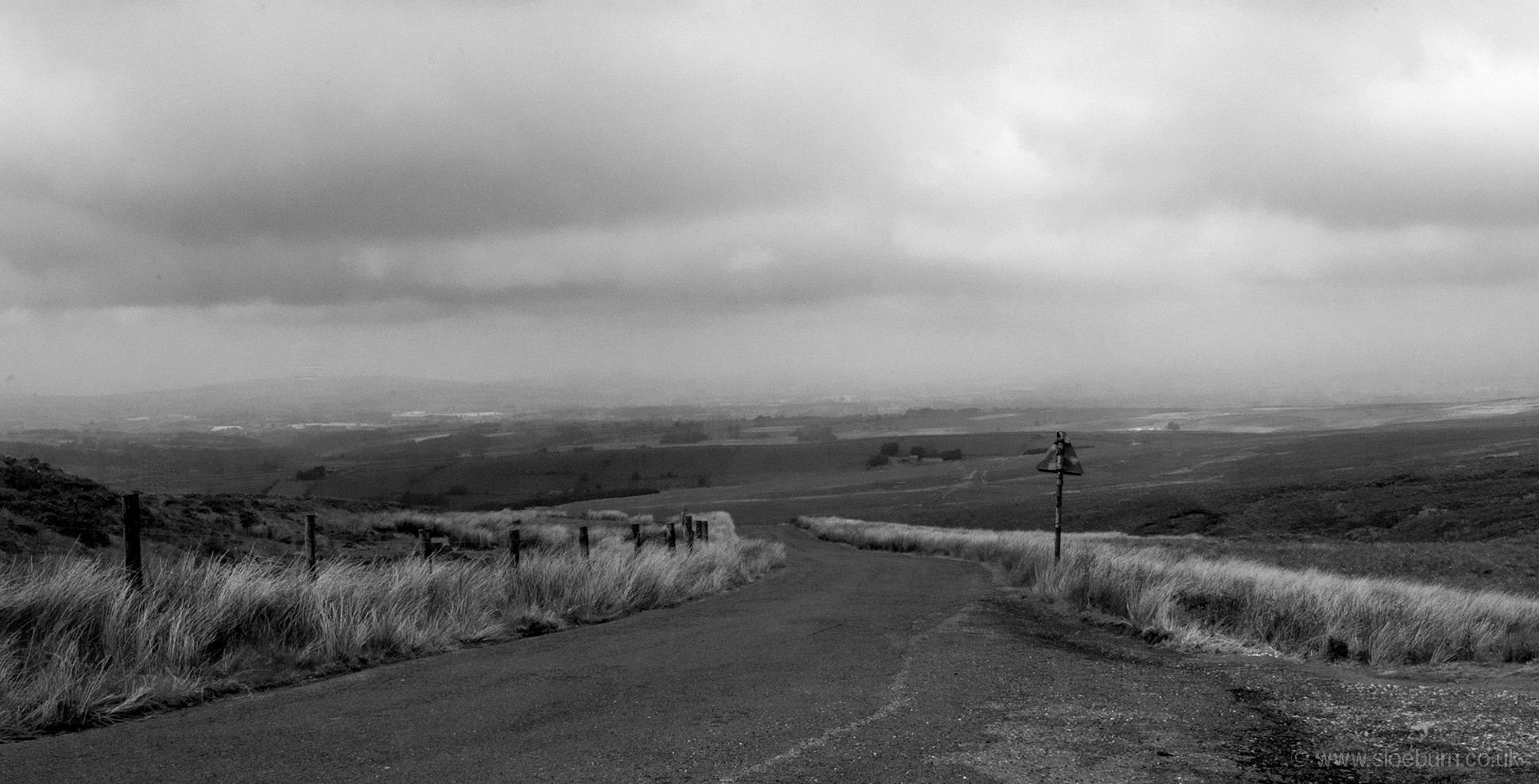
The way down to High Bentham.
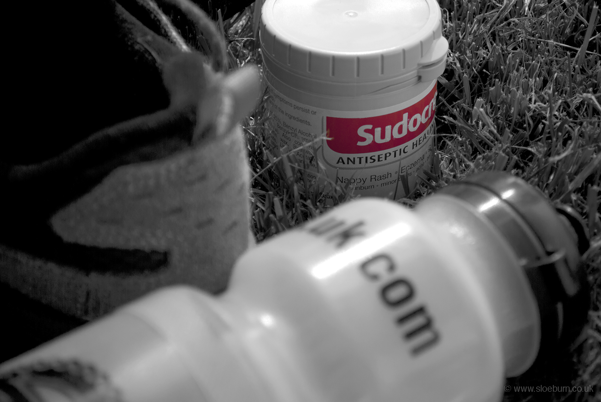
A nice descent followed, and I was pleased to find that the Co-op in High Bentham stocked Sudocrem, something else I have been converted to on this trip. The route I had marked on the map was a bit odd from here, so I impulsively followed a sign to Ingleton. A helpful chap out walking stopped me to tell me to ignore the 'road closed' signs further ahead, which was good as I might have ended up going some daft way and I hadn't had chance to apply the Sudocrem yet.
I had planned to camp near Ingleton, but it was still quite early and my mileage was fairly low (although my bike computer had started playing up so I wasn't sure whether to believe it or not). I decided to head on to Kirkby Lonsdale as there were a couple of campsites marked on the map. I hadn't found either of them by the time I reached the town centre so I asked in the tourist information office, which wasn't an awful lot of help (you wouldn't think it was a particularly unusual request) but I found one eventually. The entrance to Woodclose Park said they had no vacancies for tents but I was fairly fed up by this point so I went to enquire anyway. It turned out that they were not intending to take any tents this weekend but made me very welcome, and I saw two more cyclists arrive later on who pitched opposite.
After a nice shower and the liberal application of various creams to sites of chafing and a huge insect bite I walked into town for a look round and some food. It's a nice place, very popular with motorbikers although there weren't too many around this evening.
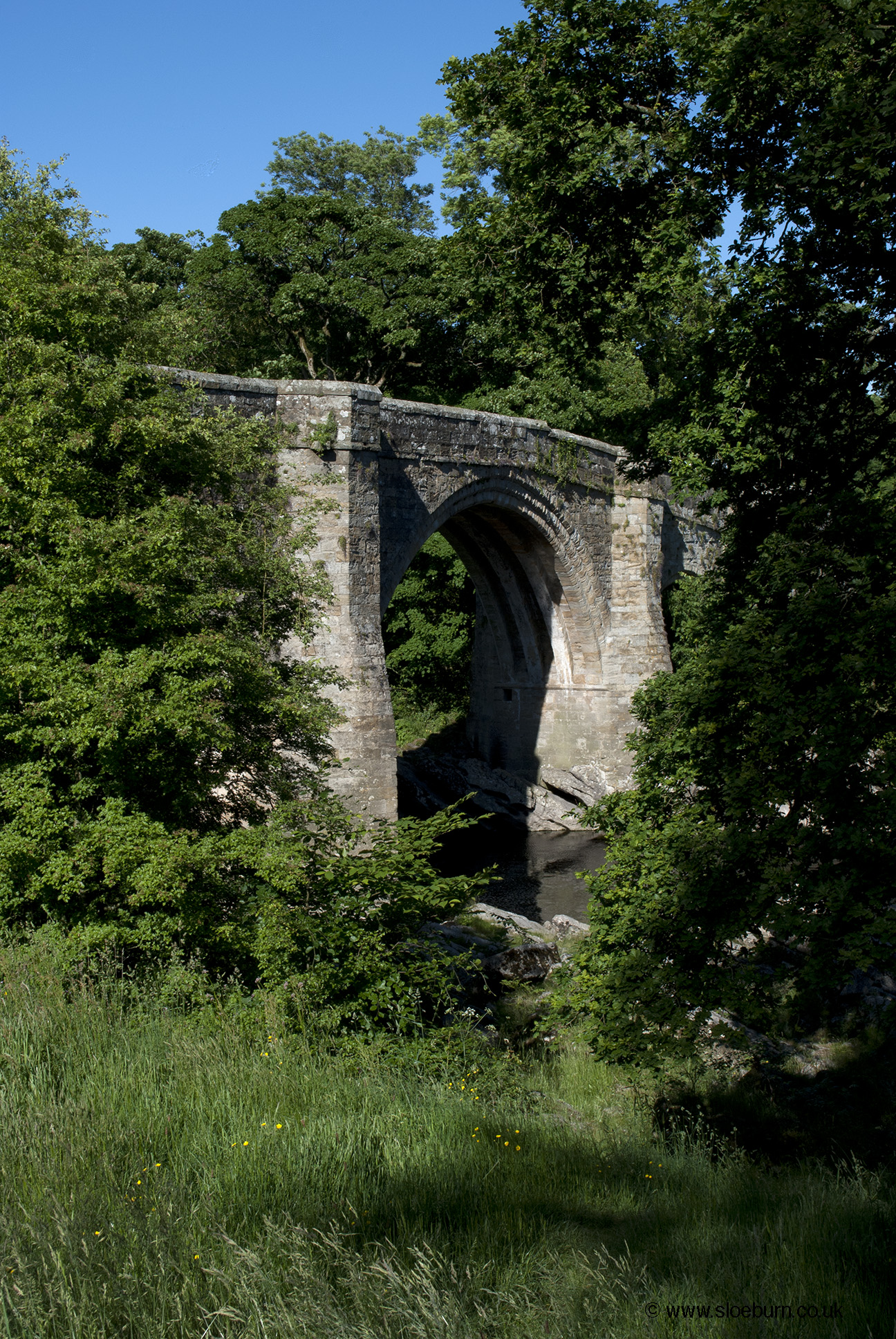
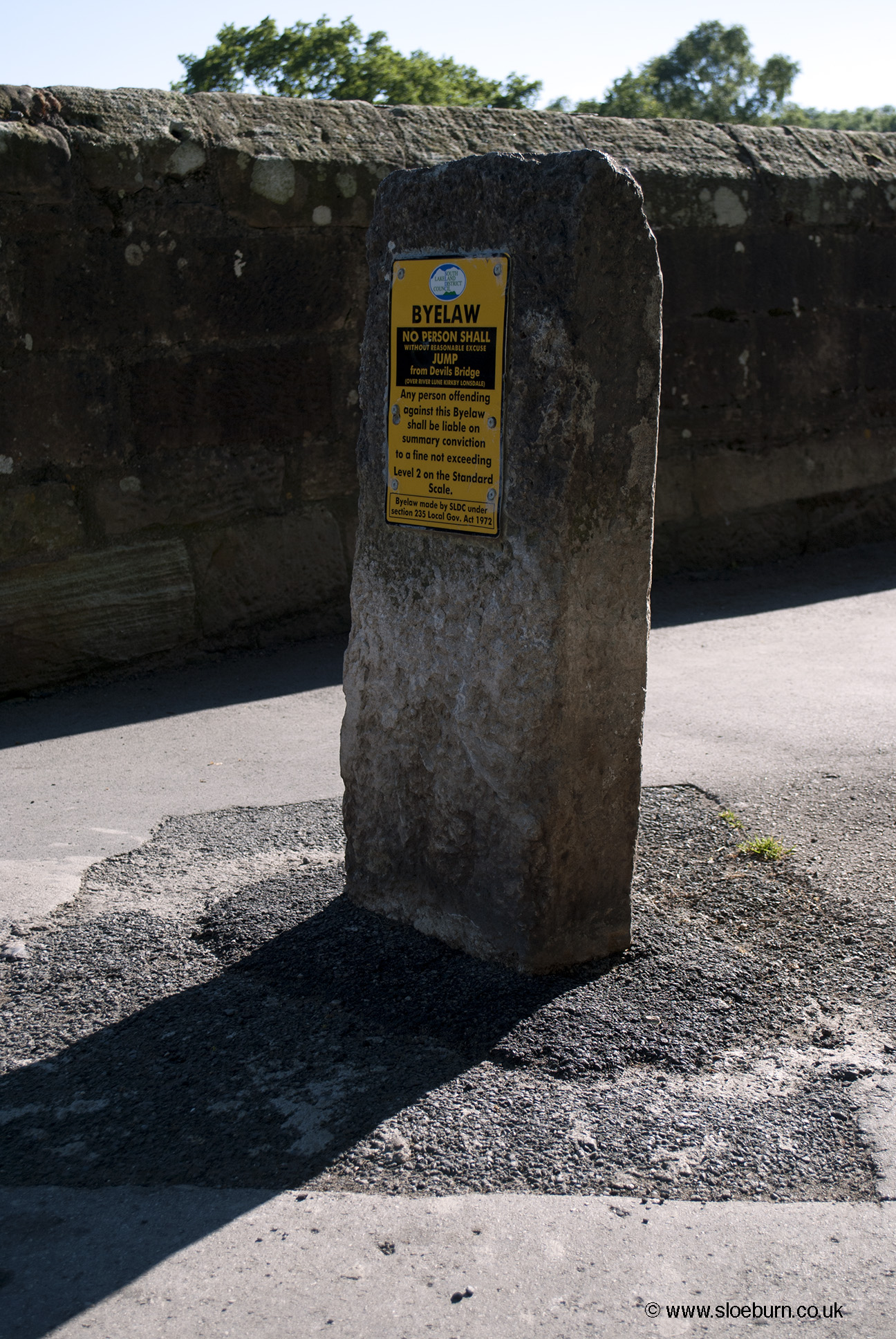
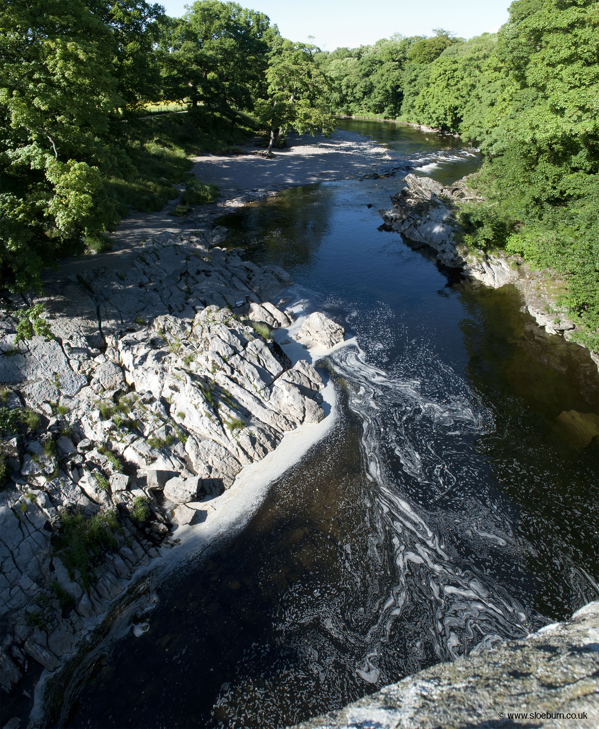
Devil's Bridge over the river Lune.
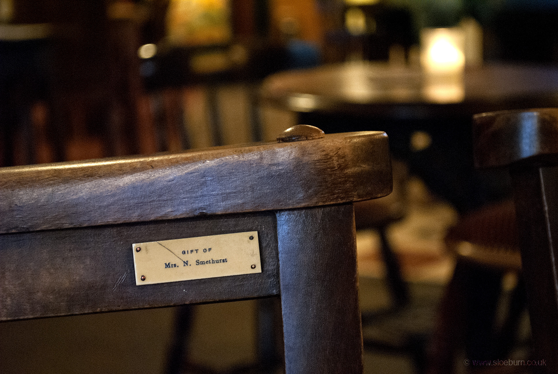
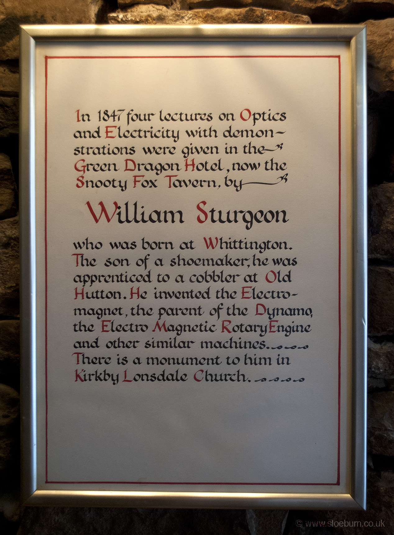
I thought it was quite appropriate that I should have my dinner where someone whose inventions led to the dynamo gave lectures, as I had been using mine this morning. I'm not sure why someone gifted this chair to the pub - maybe Mrs N Smethurst was having a clear out.