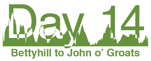
After days of riding north, this final stretch was almost due east along the coast. The wind was mostly favourable, which was fortunate as the route is quite hilly. It was a day of "sunshine and showers" (™British weather) and I was actually getting cold on some of the descents.
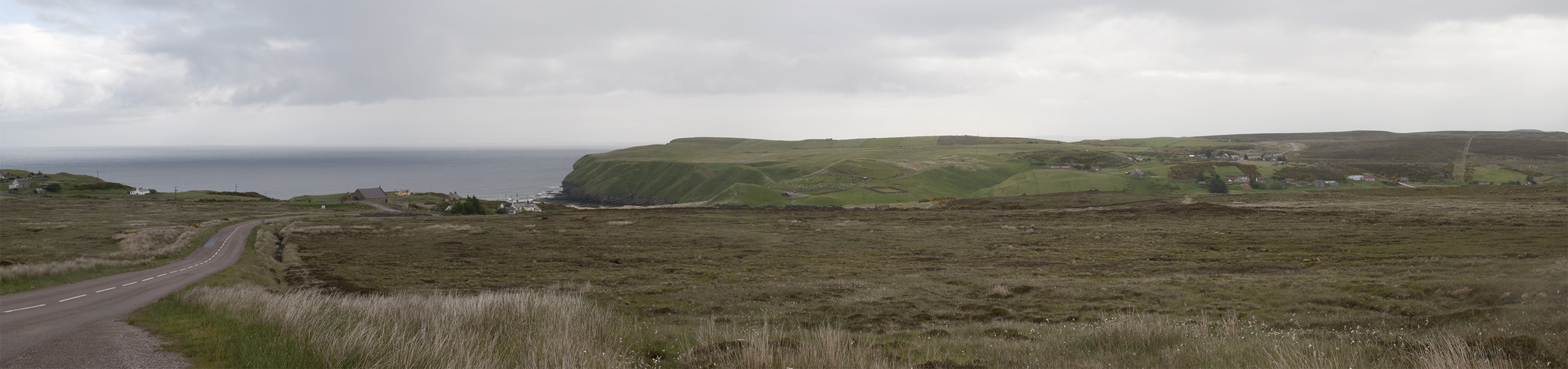
Descent into Strathy, and Dounreay.
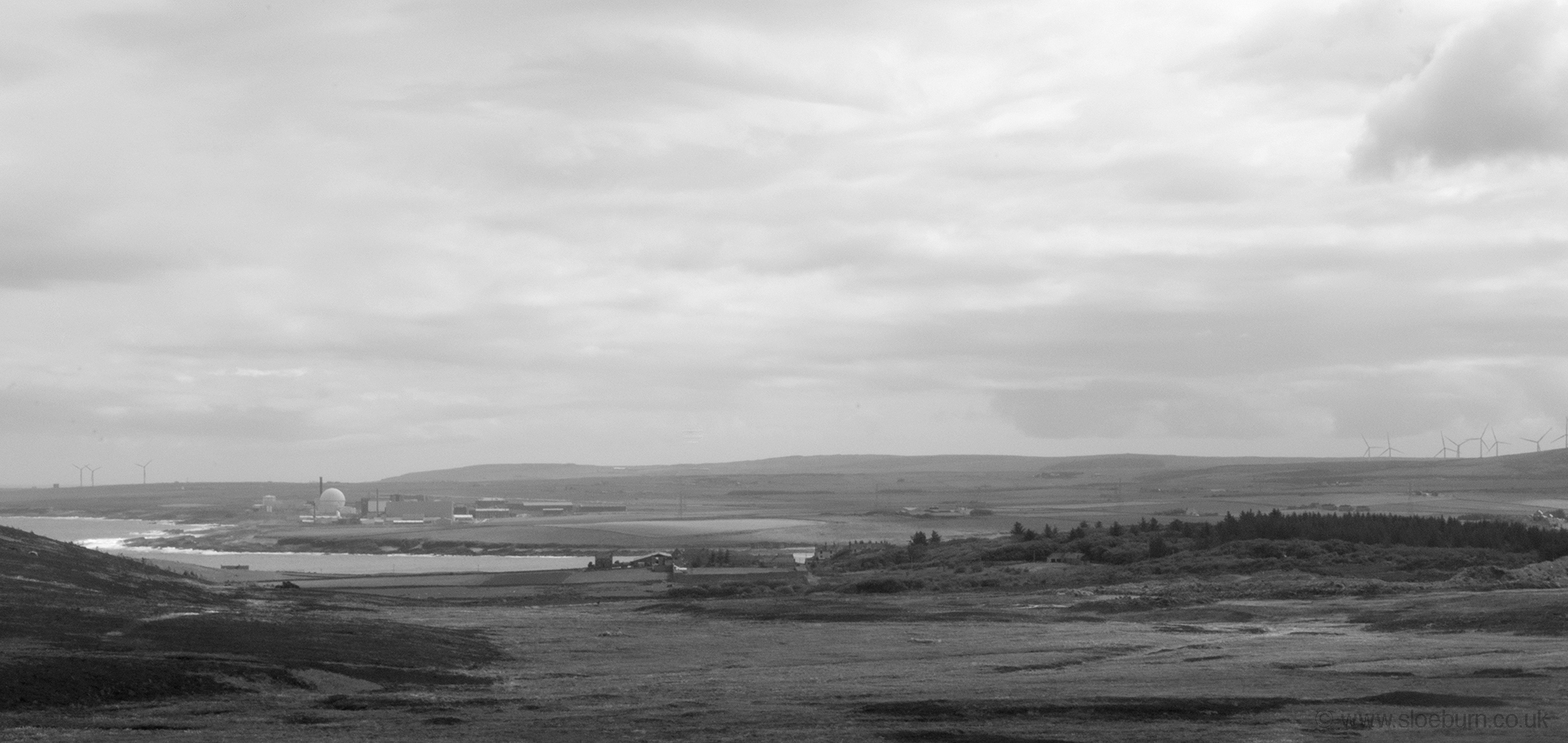
The route then goes inland a bit on minor roads to Thurso. I wasn't riding fast enough to beat an approaching dark cloud and got a bit of a soaking, so stopped in a bakery/cafe in town to dry and re-fuel. They forgot the tomato in my toastie but I think a complaint may have pushed them over the edge. The rain dried up a bit as I went on, and had my first views of Dunnet Head and Orkney from a hill outside Thurso.
Dunnet Head and the Orkney Isles just visible to the left.
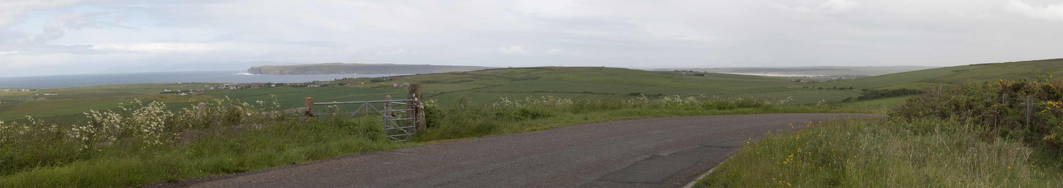
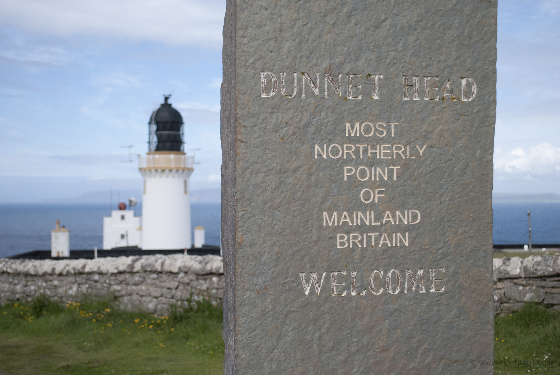
For some reason NCN Route 1 doesn't actually go up to Dunnet Head so I left it at Castletown. Here the road runs along the high dunes behind Dunnet Bay, which is a beautiful beach but not the day to visit it (I did stop off briefly on my way home). The ride north along the peninsula was quite tough, obviously it's very exposed, so it was quite a relief to finally arrive.
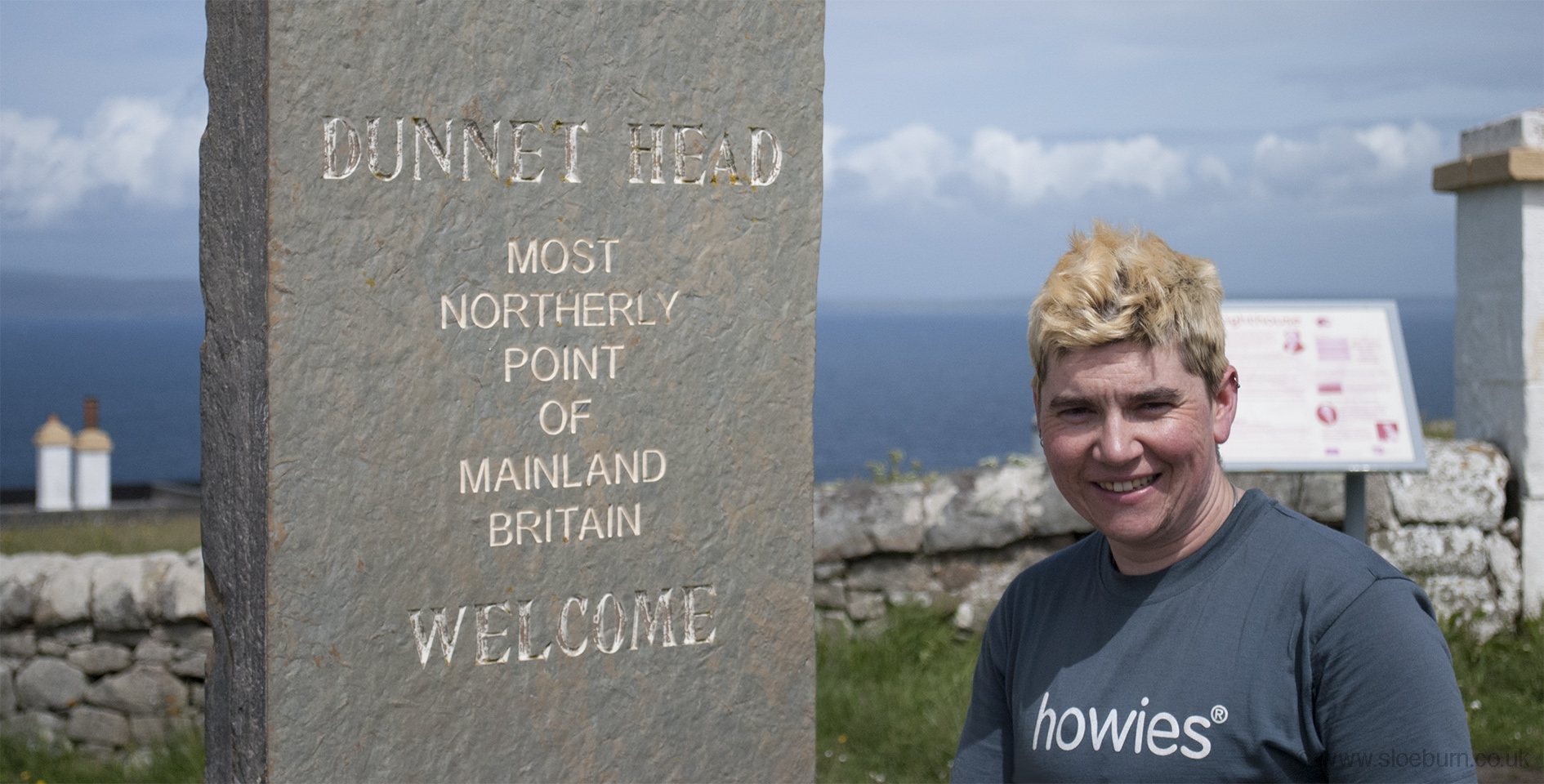
Hardly a great portrait but evidence of my arrival!
It was fairly quiet, a few cars and a guy on a motorbike who offered to take my photo. He was touring using youth hostels, and had come over from the west coast. I noticed quite a bit of camaraderie between touring bikers and cyclists over the trip, which I wasn't really expecting but other than the engine I suppose it's very similar. Most of the land here is in the care of the RSPB but the lighthouse cottages are privately owned - their post arrived while I was there, which is earlier than I get mine in central Coventry. There are some old WWII buildings scattered around - it must have been a desolate place to be stationed.
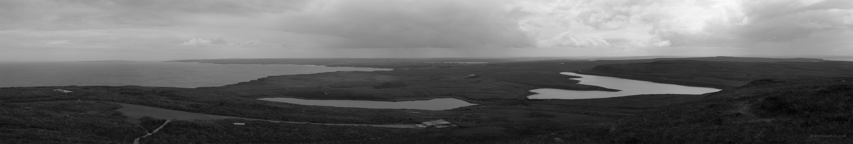
Looking south from the top.
After a celebratory cereal bar I headed straight for Duncansby Head, past Canisbay youth hostel which is a nice building but sadly closed and up for sale (offers over £150,000).
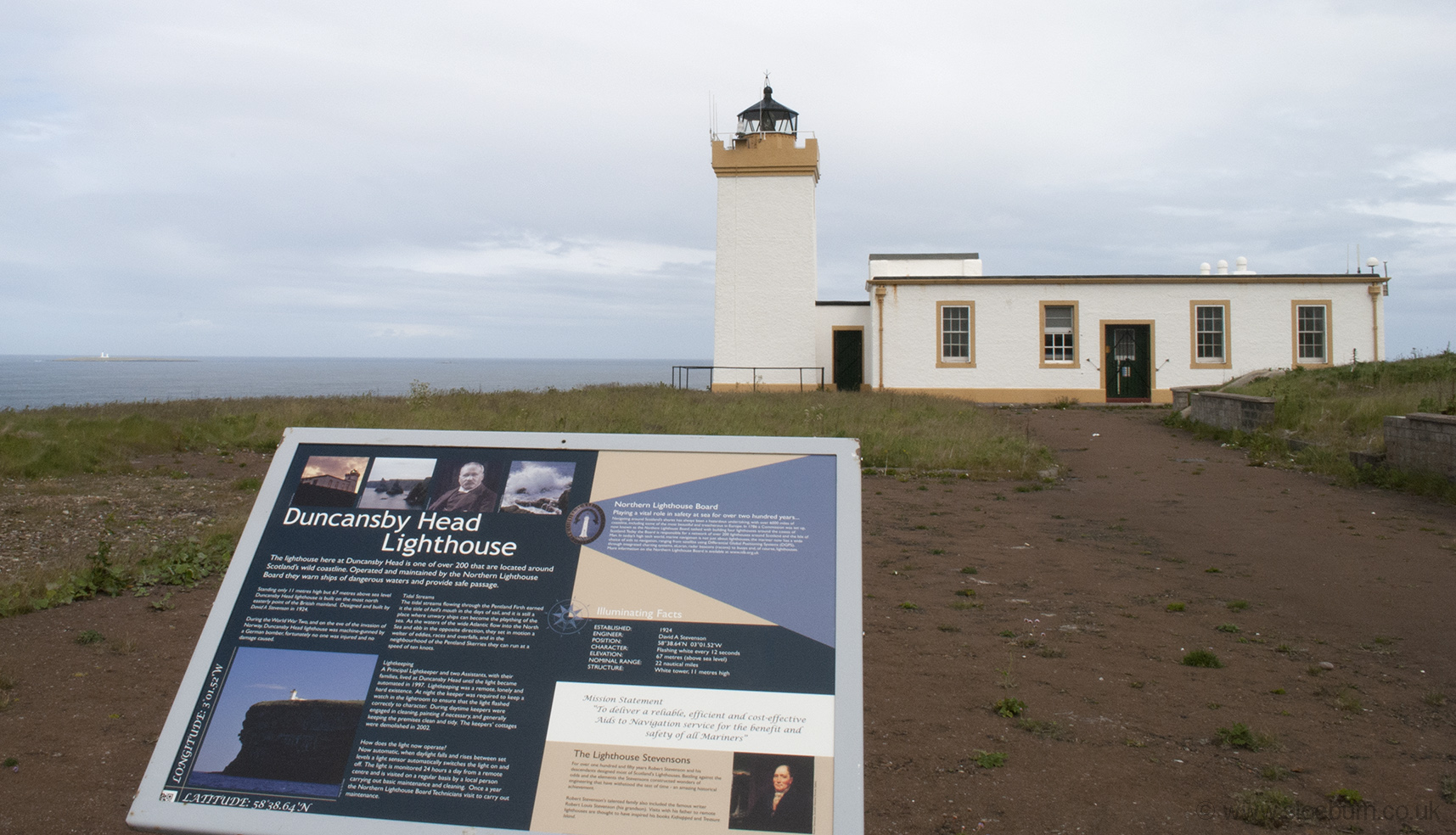
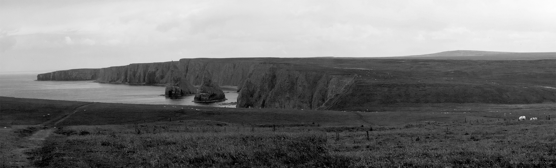
Another Stevenson family lighthouse (although I'm not sure that they had Mission Statements in those days), and the Stacks of Duncansby.
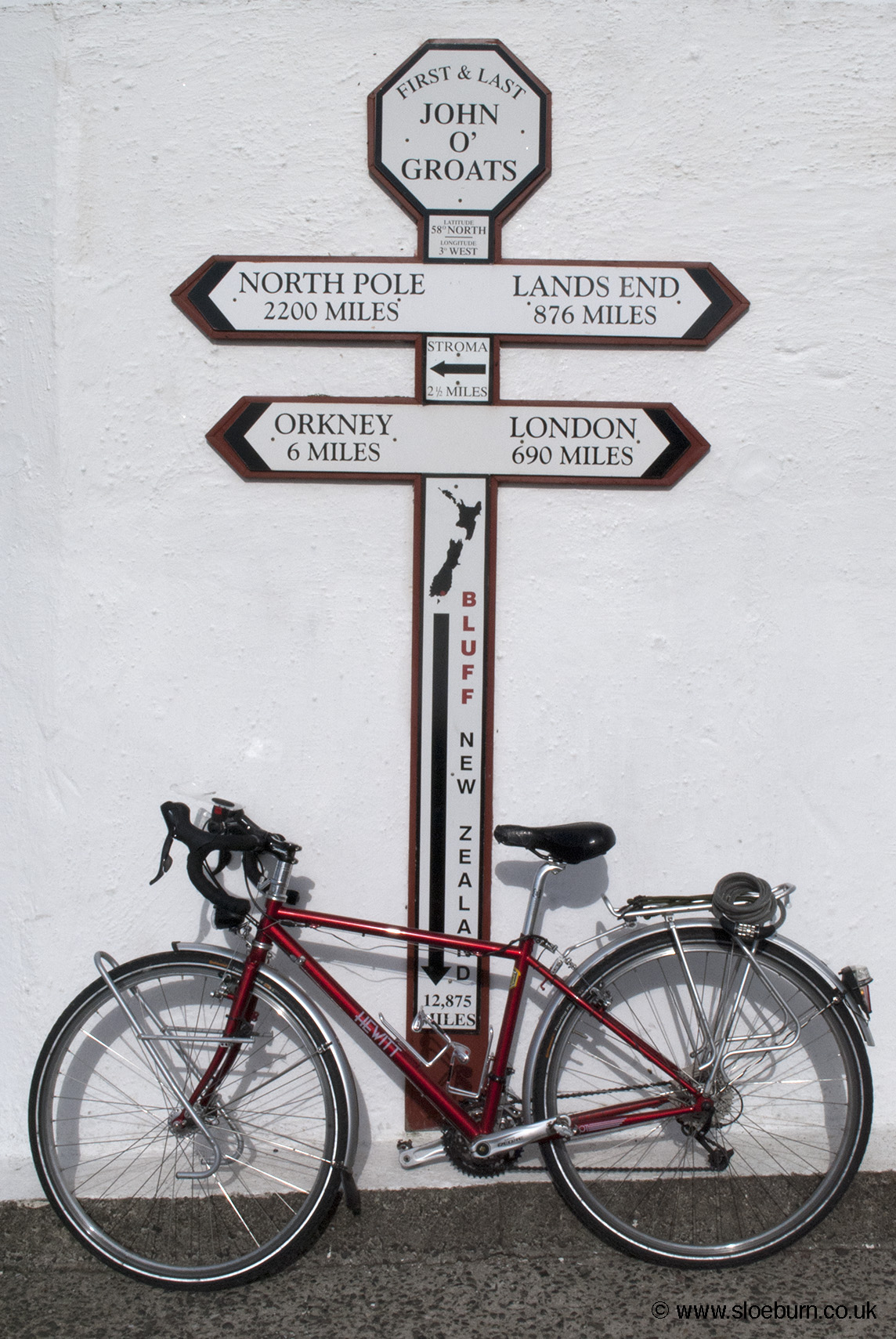
It turns out that the 'official' sign post with the date on is taken down at 6 pm each evening, so I had to make do with this alternative. My bike looks strangely clean.
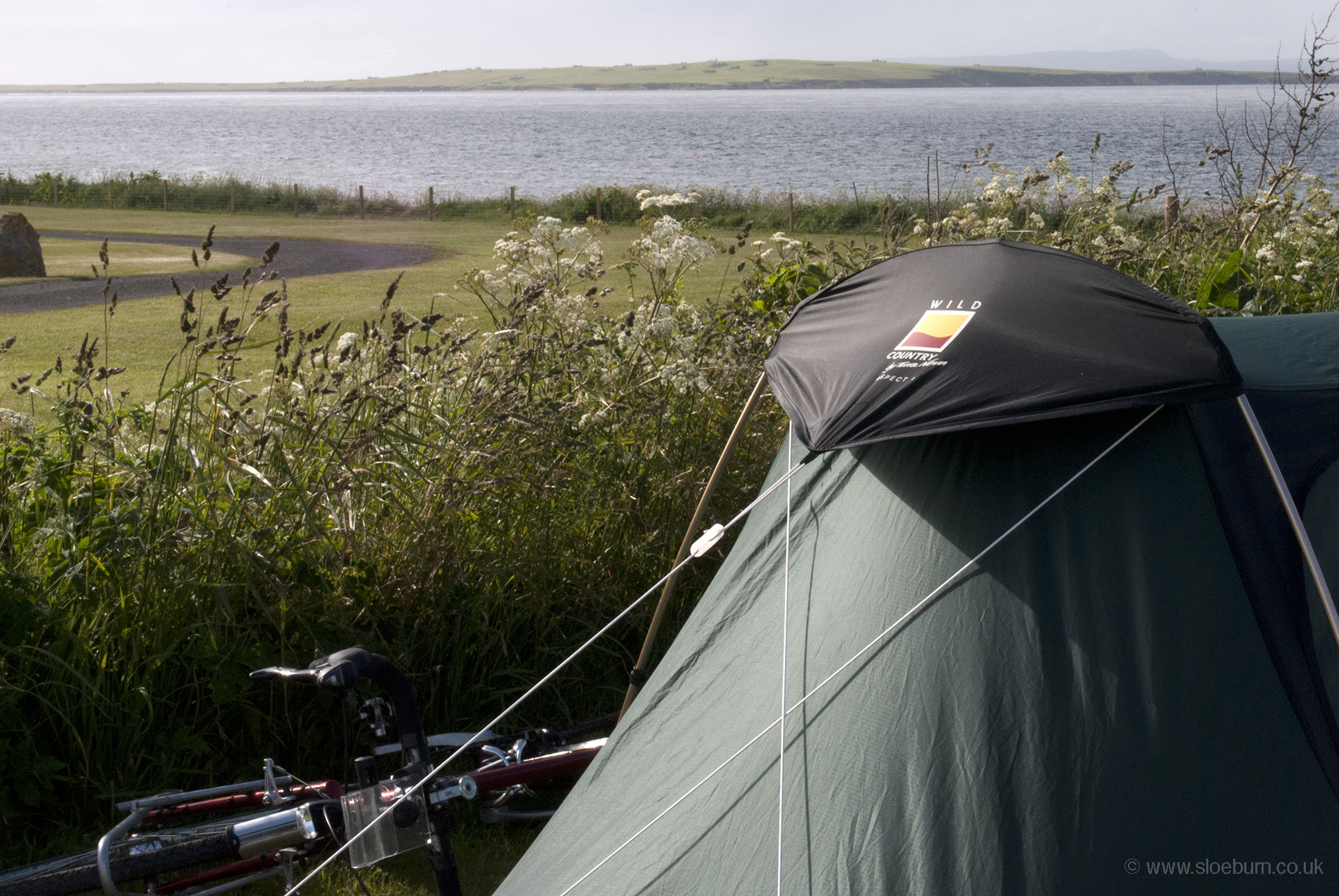
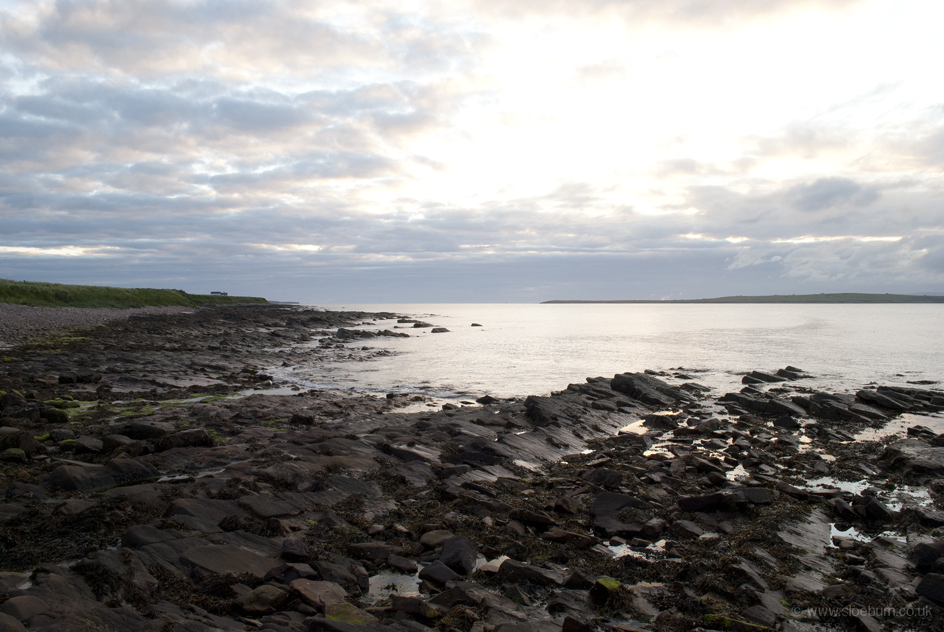
The campsite is just up from the beach, so I was able to go and dip my toes in the water as I had done at Lizard Point a year and a day ago. The photo of the beach was taken at 9.50 pm.
The hotel by the harbour is closed and undergoing some redevelopment, and there were some new rather nice self-catering lodges. There is another hotel along the road, and a shop/petrol station, but that is about all there is here - I don't suppose people tend to hang around for long enough to support much else. I had arrived ahead of schedule and so stayed for three nights, so I had time for a day trip to Orkney on the passenger ferry with my bike, which I was surprisingly happy to ride for another day (albeit unloaded).
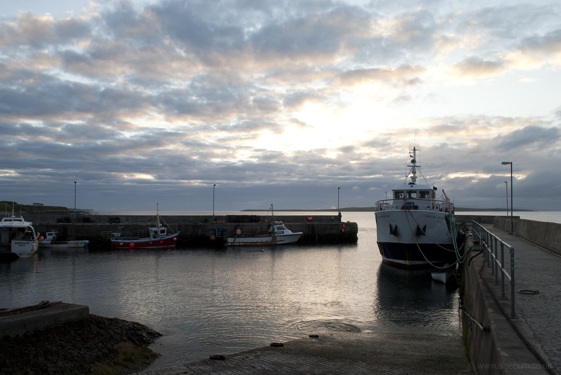
John o' Groats harbour and the Orkney ferry.