A flat start along the Dornoch firth which was fine until I had what turned out to be my only mechanical problem. The front derailleur had come loose around the seat tube and I was able to reposition and tighten it, and if anything it was shifting a little better afterwards (obviously that was just luck rather than due to some brilliant mechanical skills that I had acquired).
Dornoch firth.
Just before Invershin I came upon what is the worst 'cycle path' I have ever experienced. I had been warned about it yesterday, but it is impossible to see coming north, as the route first follows a twisty off-road section, away from the road and depositing the unwary at the top of a flight of steps. Coming south you can see the route from the road and make alternative arrangements. The most daft thing is that the roads here are very quiet, so there is no reason to avoid them. I'm sure this is a very handy footpath, but it's dangerous sending the heavily-laden cyclist this way. I took off the front panniers and precariously lowered the bike down step by step. With lots of swearing. For anyone reading this planning a similar trip, I would take the A836 from Ardgay through Bonar Bridge, which rejoins route 1 at the (closed) Invershin hotel.
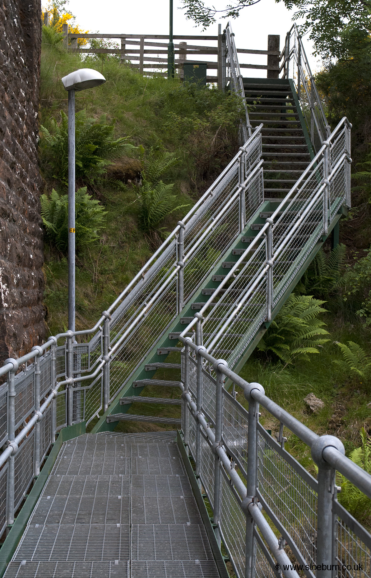
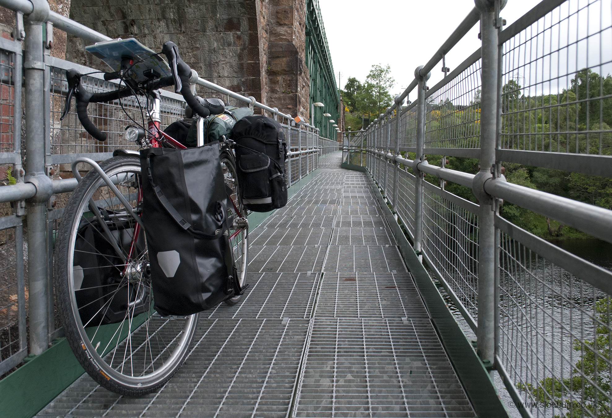
Invershin viaduct footbridge. Steps at both ends.
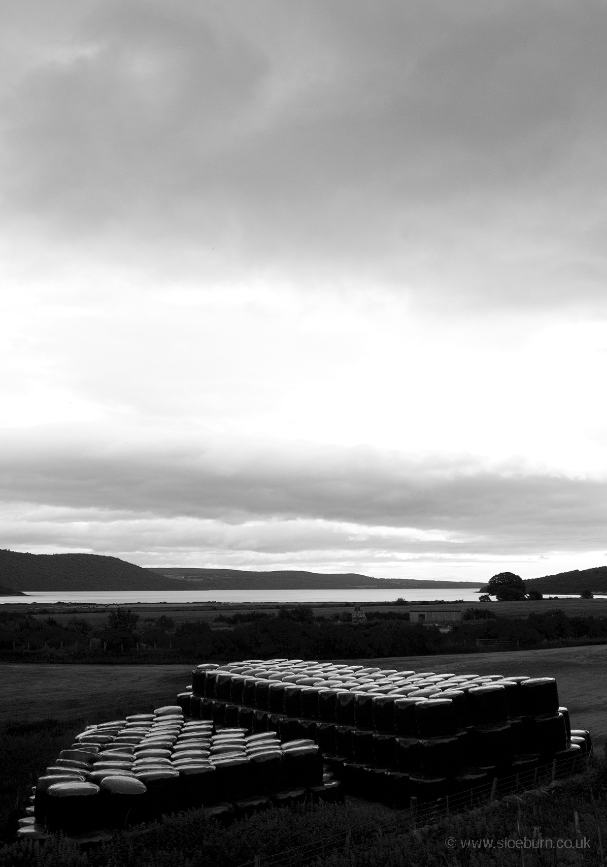
I stopped briefly at the Falls of Shin but their visitor centre appeared to have burnt down recently, so I kept going and found a nice place in Lairg.
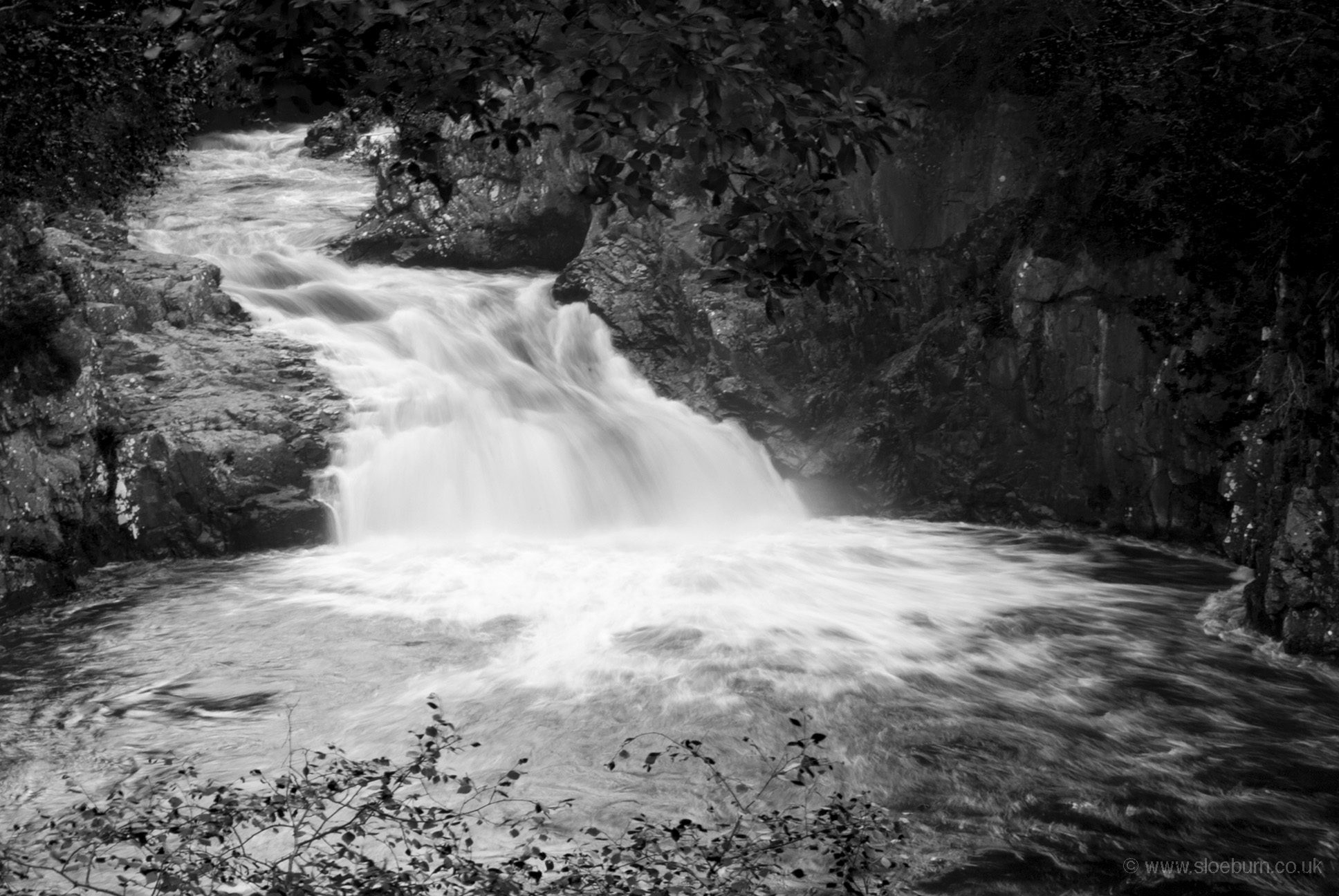
Falls of Shin.
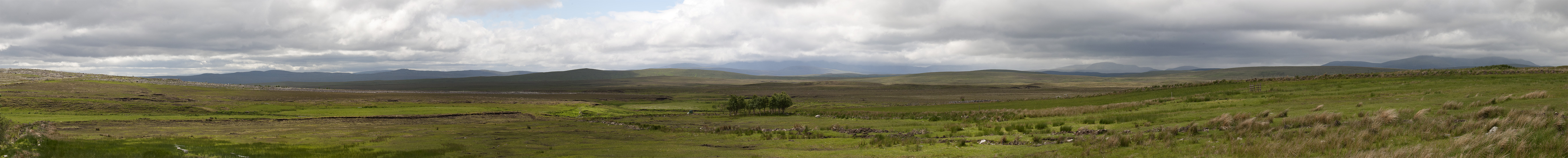
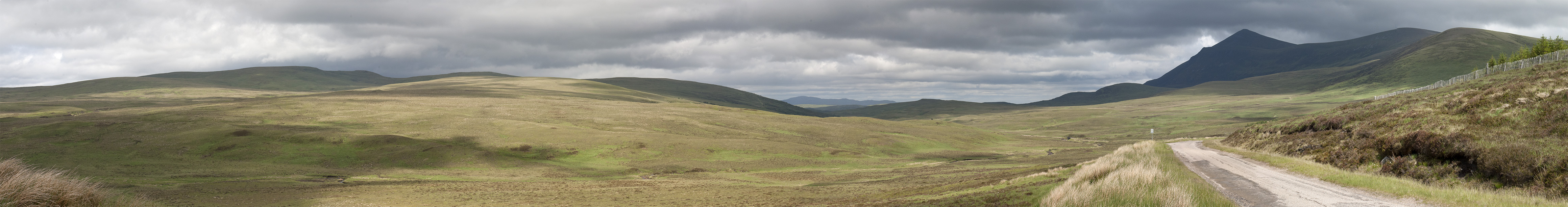
It was quite a long steady climb all the way to the Crask Inn. The landscape is a mixture of exposed moorland and forestry plantations. I saw something which I thought might have been a pine marten in a patch of trees - certainly a mammal with a substantial tail. The wind was strong, from the south west which at this point meant a powerful cross wind. I started pulling over every time a car came the other way so that I wasn't blown into its path.
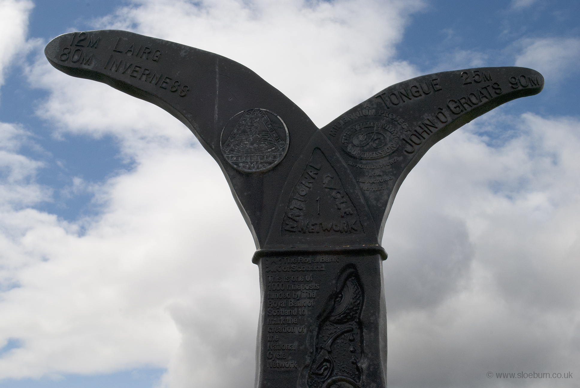
At the Crask Inn - less than 100 miles to go!
At the highest point the road turns to the north east, so from here it was downhill with a strong wind behind. I did feel sorry for a couple of others I met going the other way.
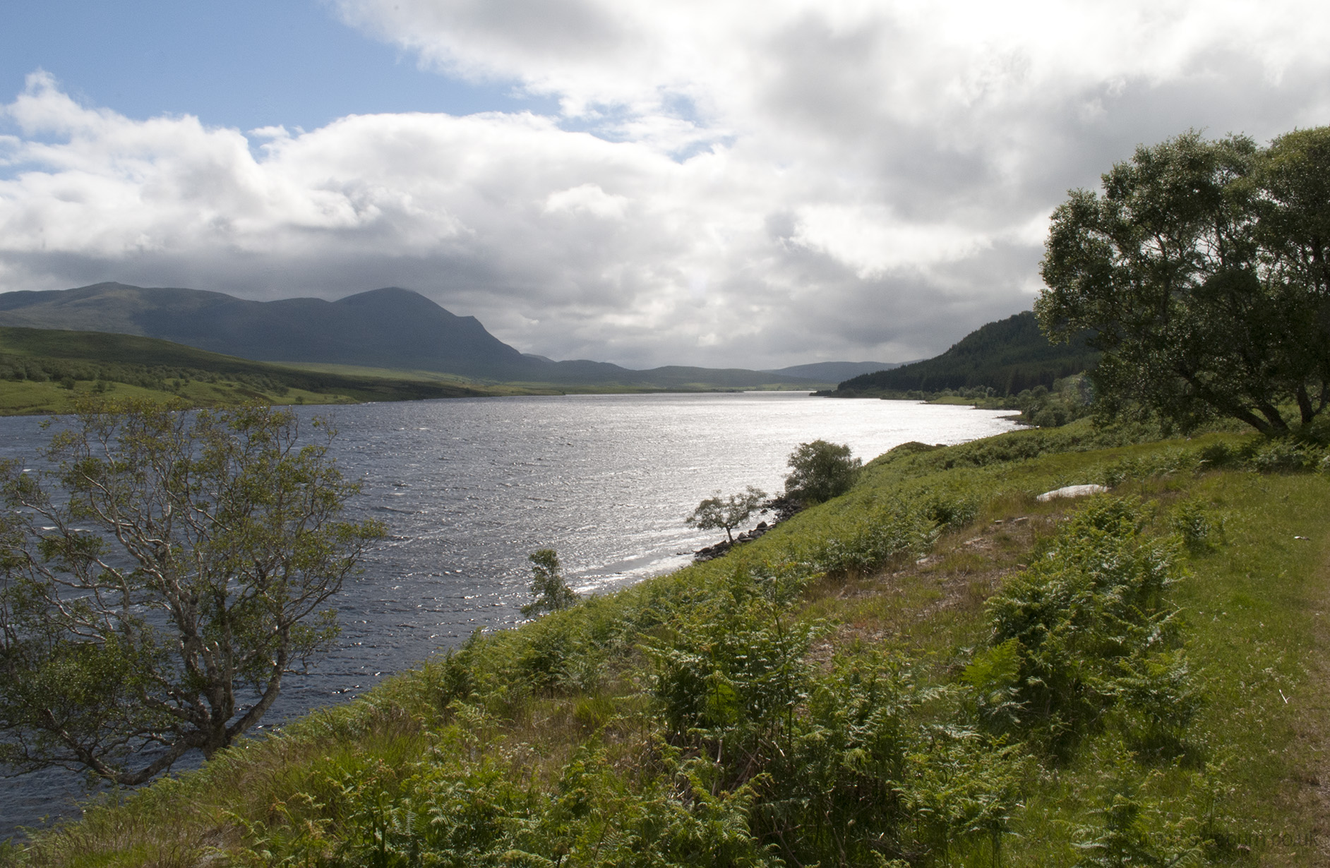
The peak of Ben Klibreck, from Strath Vagastie.
Approaching Altnaharra.
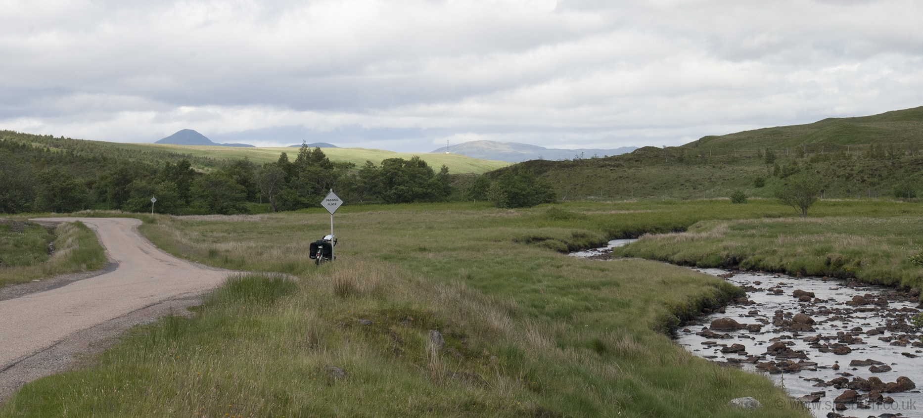
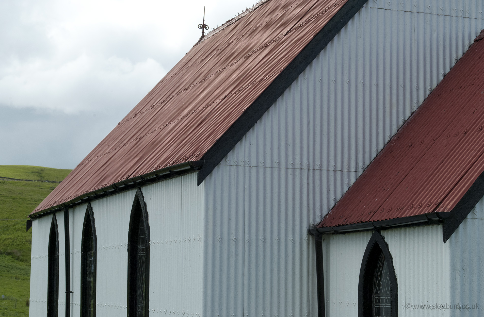
Route 1 heads pretty much north to Tongue, but I took the alternative (a little shorter I expect) B873 east from Altnaharra along Loch Naver. Also I had evidence of a campsite along this road, although on arrival it turned out to be 'caravans only', as there were no facilities. There were plenty of spots for wild camping along this road, but it was only about half past three so I thought I should keep going to Bettyhill. I stopped at a little church in Syre, where the road looked like a farm track with all the sheep droppings.
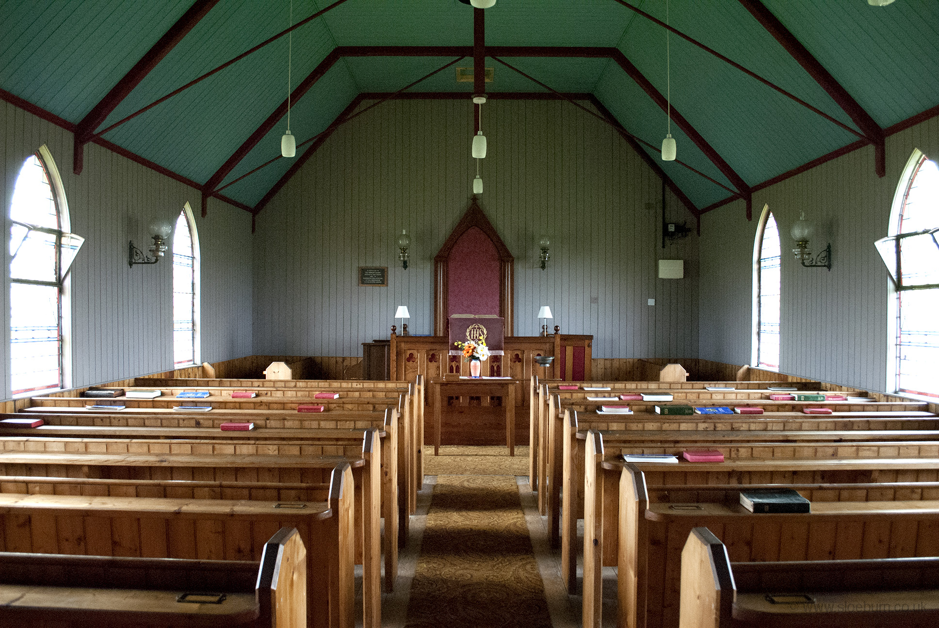
Loch Naver and the church at Syre.
With a favourable wind and the road following the river downhill to the sea this section had been an easy ride. 'Hill' in a place name is usually there for a reason however, and there was a short steep climb to get to the campsite. It is in a great location but the toilet and shower block really needs some work, both in terms of cleanliness and repair. It was still very windy but happily in the correct direction for me to pitch the tent for the view. There were several other tents, some of which looked like they had suffered a bit of wind damage. A couple on bikes arrived a bit later, they turned out to be medical students from Warwick. They'd started from John o'Groats and were hoping to make it to Land's End but their first day had been really hard work in to the wind and up and down hills. I wonder how they got on, as the weather became very hot a few days later.
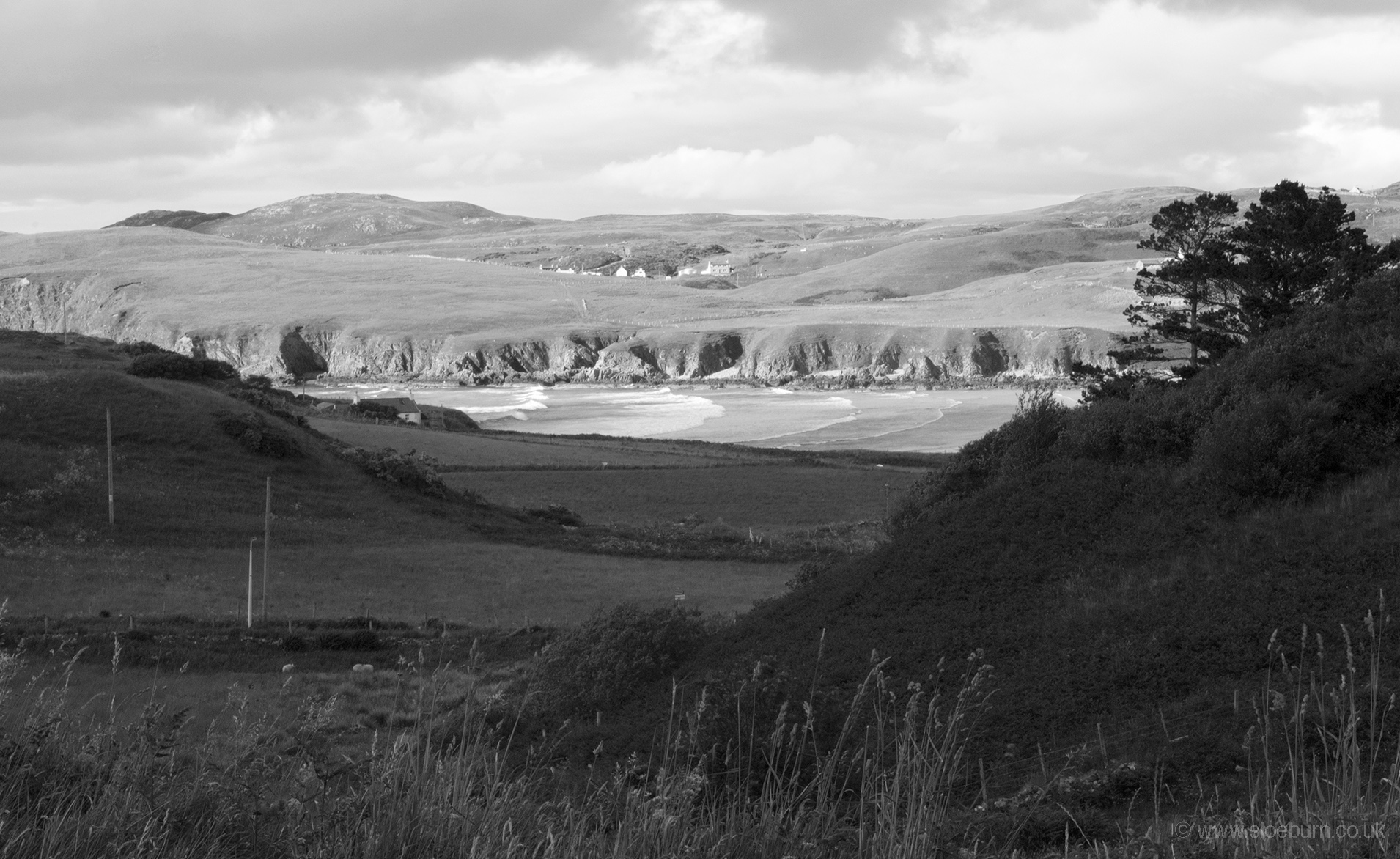
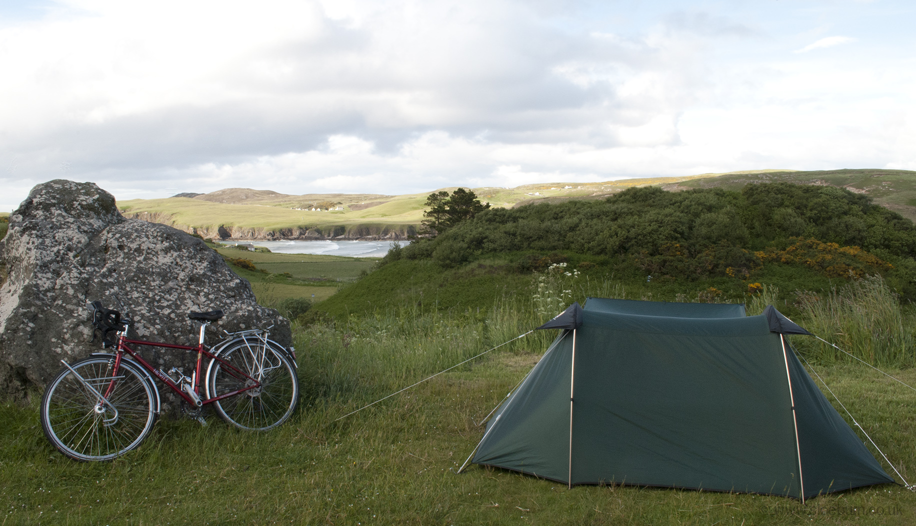
Farr Bay from Bettyhill campsite.