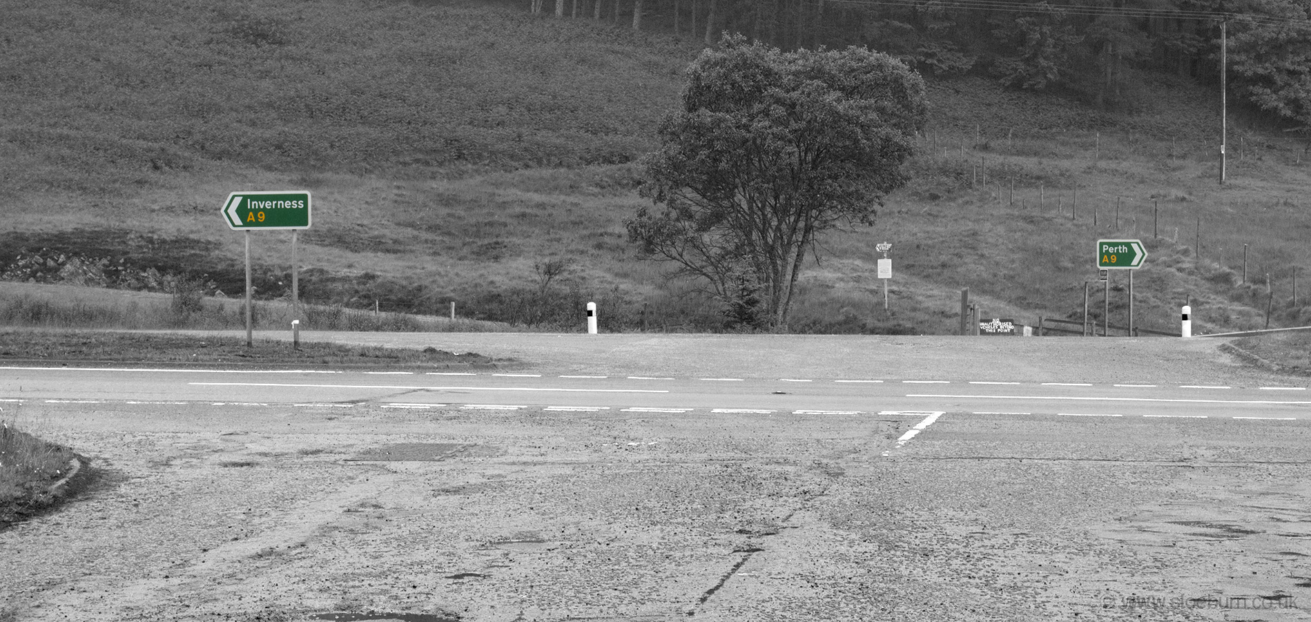
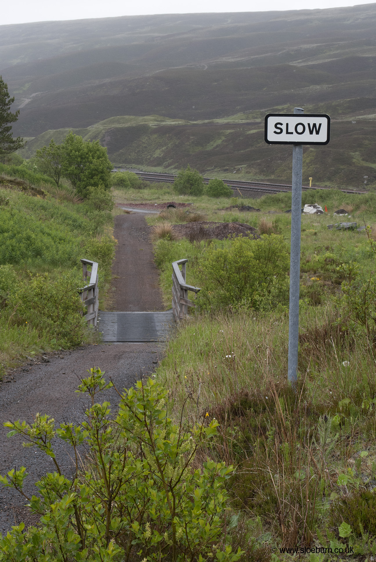
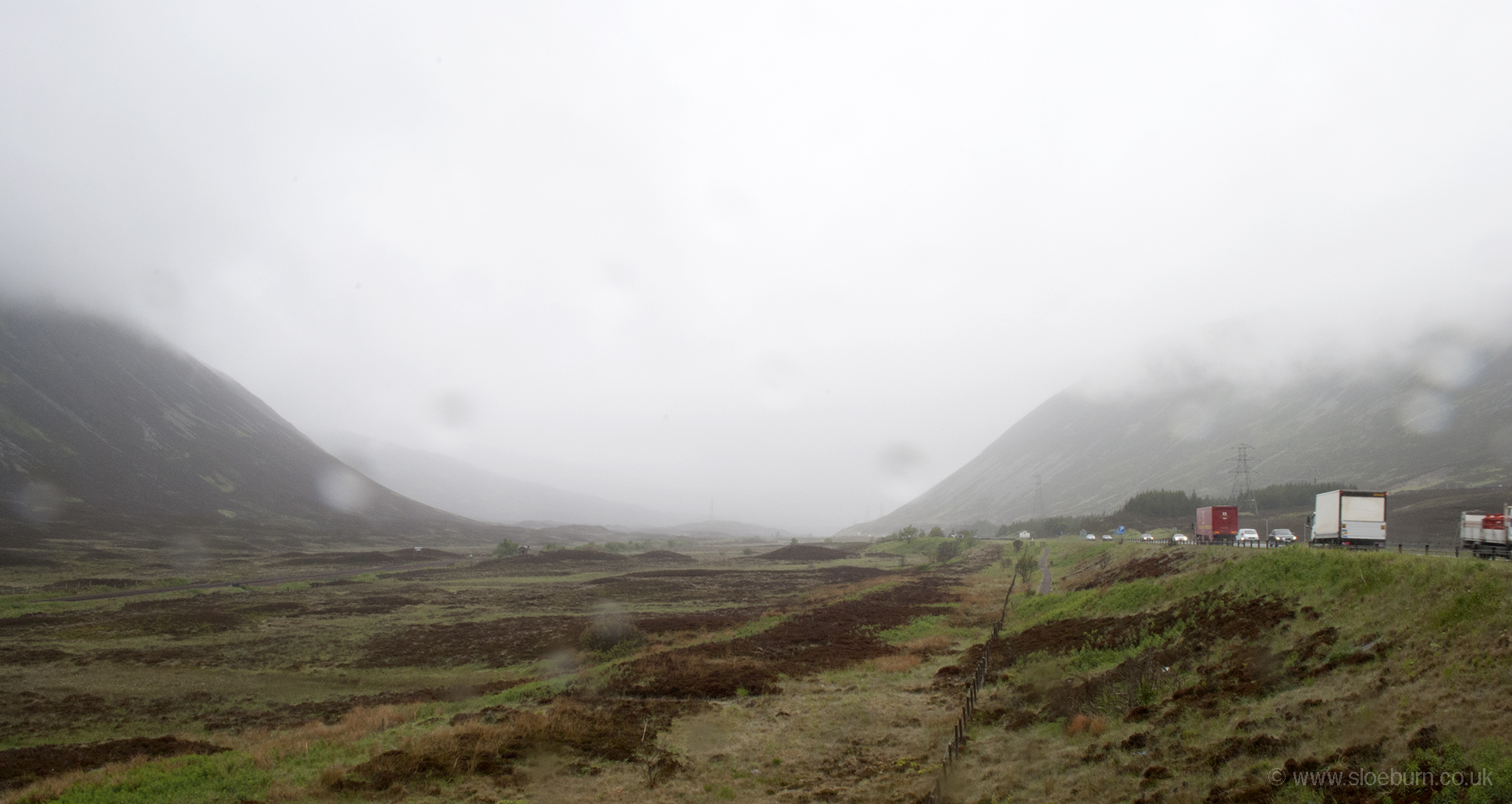
This morning was wet and up, continuing to follow route 7 along the A9. Doing some research before I set off, I had read on the CTC LEJOG forum that the cycle path round these parts was in a bad state of repair, so I was a bit concerned about what I would find. In the event I thought it was a fantastic ride, and smoother than some of the 'proper' roads south of Glasgow. After some minor roads it's a tarmac'ed path snaking through the pass of Drumochter along with the road and the railway line. Seeing the trains, I looked forward to returning home this way; seeing the cars and lorries I thought I was travelling the pass by the best mode of transport, even wet, tired and with a sore arse.
As I had only just set off I decided against stopping in Pitlochry, and thought Blair Atholl would be a good place for a break. It's smaller than I was expecting, but I found a little shop. Although it sold most things it was out of red lentils - I had failed to find any in Newtonmore either so I was concerned that there was a national shortage.
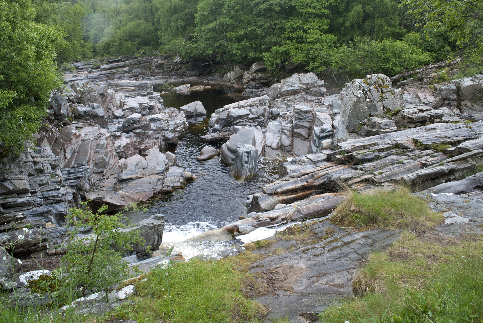
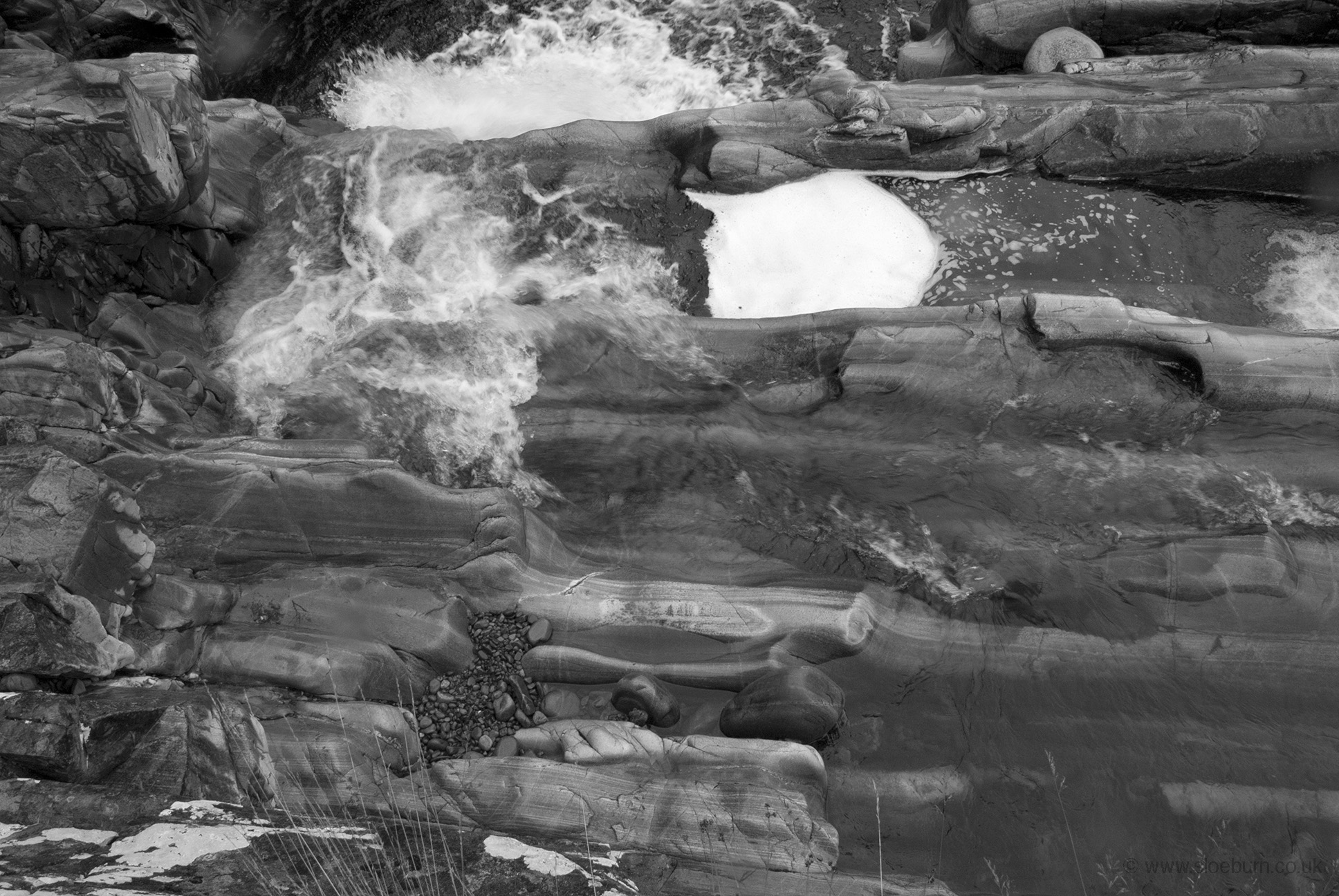
I'm not entirely sure where this is. Possibly Drochaid na h-Uinneidge, which I gather means Bridge of something.
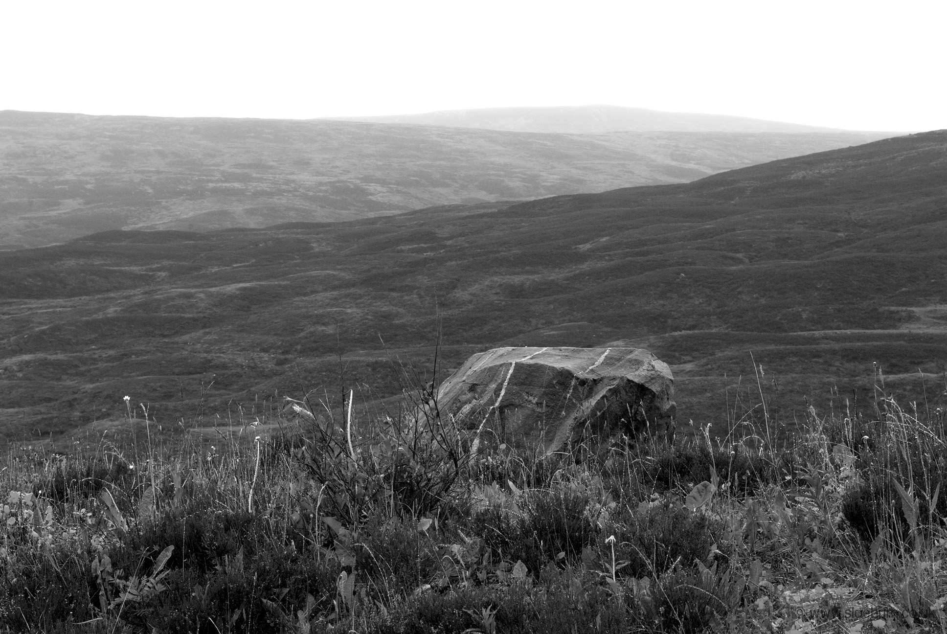
This section was fairly tough and uncomfortable - the first two-thirds of the day were constant climbing. I saw a couple of deer, one a youngish looking stag, and there were lapwing, buzzards and some other things that I was unable to identify but they looked ploverey.
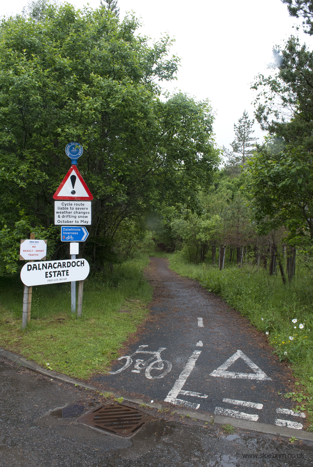
Mostly traffic-free, sometimes clearly an old road, other times tarmac'ed or gravely paths. Wonderfully deserted.
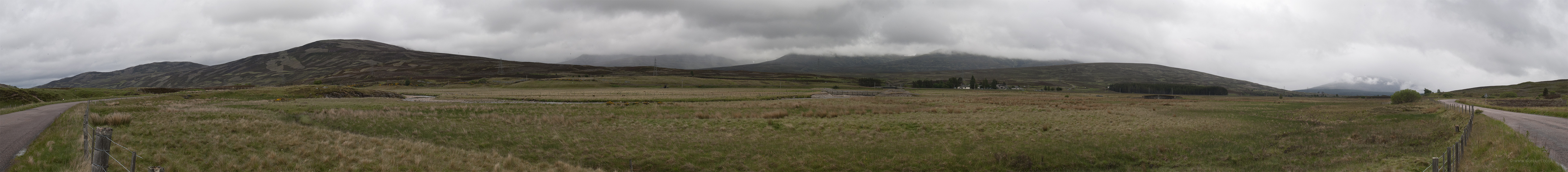
This is Glen Garry; the river Garry flows into Loch Faskally by Pitlochry and ends up in the Tay eventually. An appropriate moment to mention Scotland's watershed, which is a fascinating concept, not to mention a stupendous walk. My route from the border to Loch Lomond was west of the watershed, and afterwards remained east.
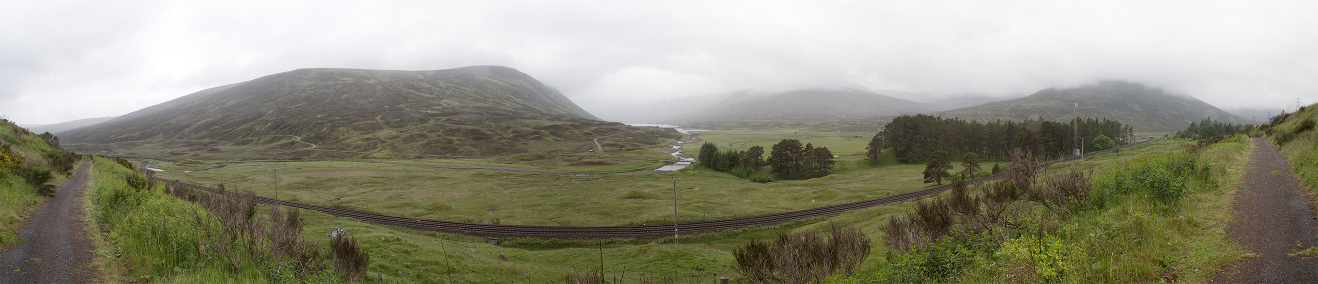
Dalnaspidal Lodge and Loch Garry. To the right is The Sow of Atholl, although I think I prefer the translation of the Gaelic Meall an Dobharchain; Watercress Hill.
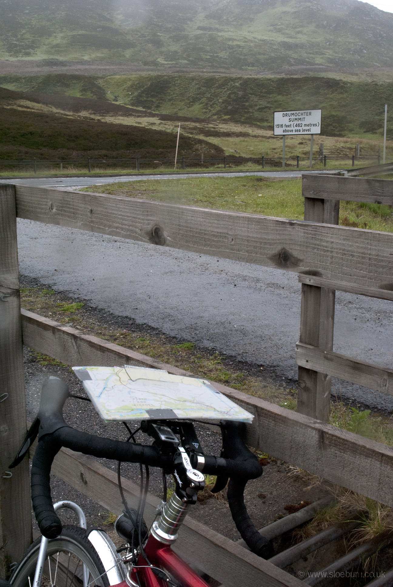
The top and the way down. Rain, cyclist's own.
At last it was down, towards Dalwhinne and past Drumochter Lodge, which I recognised from staying there (camping in the garden) nearly 20 years ago before before a Duke of Edinburgh expedition through the Cairngorms. I stopped at a cafe in Dalwhinnie; like many establishments I saw in the north of Scotland it appeared to have had some very recent investment (thanks to Mr Salmond I assume). It was somewhat amusingly run by some folk in an upper age bracket - I hate to think how they'd cope with a rush. But they did beans on toast, so I didn't mind taking my time. When I left the rain had stopped. A soggy young goldcrest was waiting by my bike and watched me go.
Near Dalwhinnie.
The rest of the day was downhill and dry. On the way I helped to herd some cattle back into a field; it seems the bike was quite effective. On the edge of Newtonmore I stopped at a campsite but there was no one at home. It was still fairly early so I went into the town and found a nice shop/cafe. I tried a hostel, which it turned out was full but I had a long chat with the owner anyway. I had already spotted a recumbent trike in his garage, and he was indeed a keen cyclist. He suggested that I go and pitch at the campsite and told me where the tent area was. I had £7 in cash so I put it through the owner's door before heading to The Glen Hotel for some dinner, which was excellent. On returning I bumped into an old chap replenishing toilet roll who gave me back £2 as apparently I had overpaid for my night's stay.