
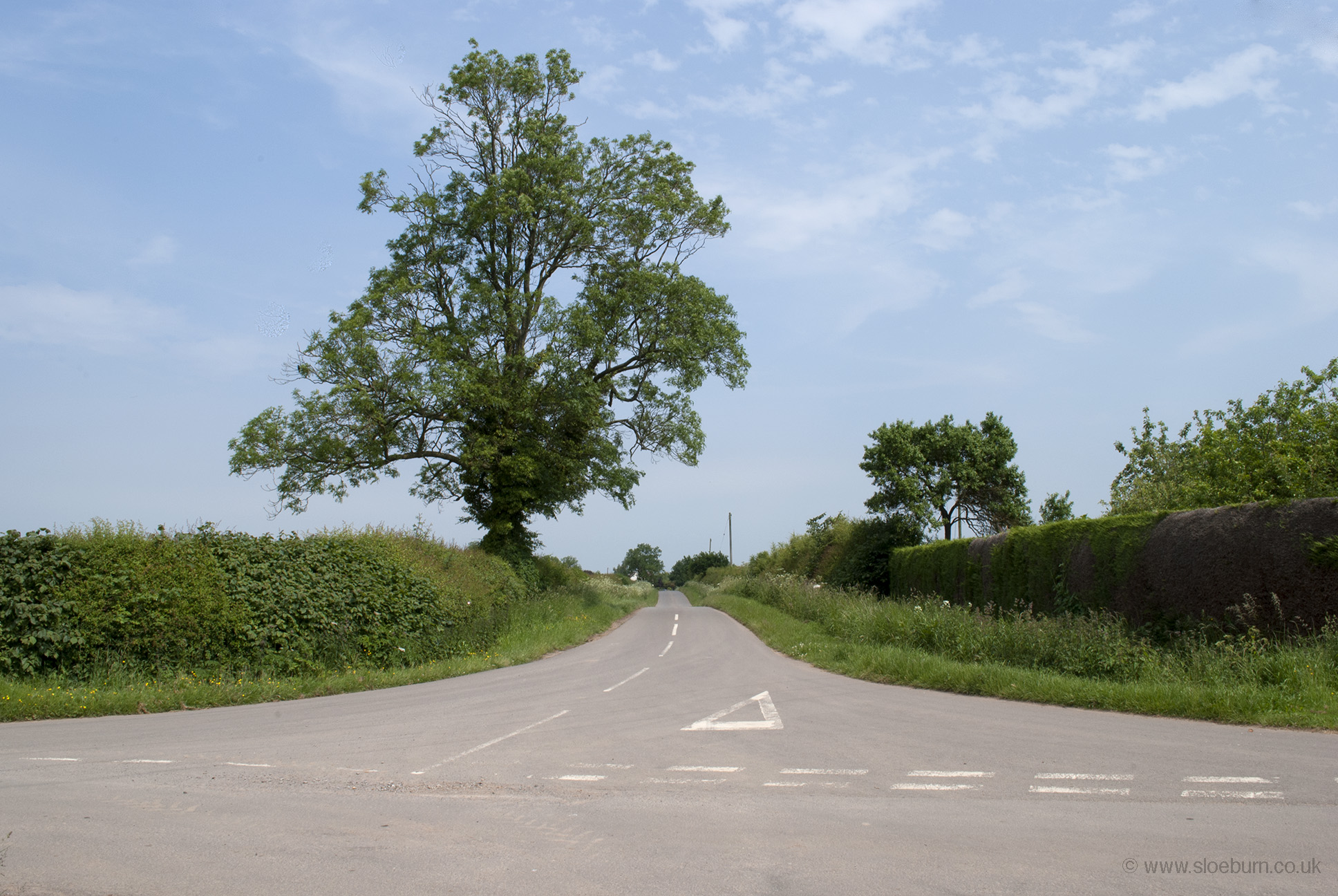
There aren't many nice ways out of town (well, other than the fact that they are taking you out of Coventry), and as usual I took a few wrong turnings, but was soon on the road through Keresley and crossed the M6 at Corely. I skirted round the edge of Nuneaton and was soon on unfamiliar roads which took me passed Nightingales's Farm, whose pasties I have enjoyed on many occasions. Although right in the middle of the West Midlands, there were some pleasant quiet roads to be found.
Click on the images for a larger version (and back to return here; I'm not that sophisticated for anything else).
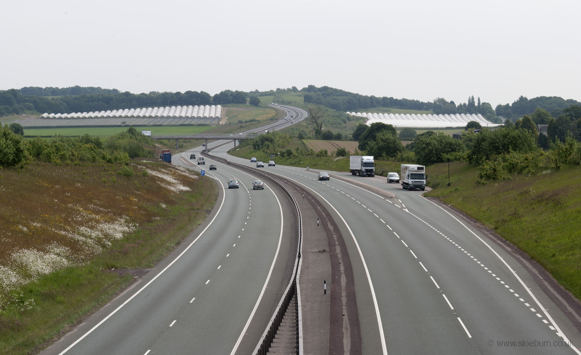
A wrong turn south of Tamworth took me through a sprawling industrial estate and on busy roads for longer than planned, but it was a built-up area so the traffic wasn't too fast, and then I followed the original Watling Street before crossing the A5.
According to the map, this hill is called 'The Devil's Dressing Room': I'm not sure about dressing, but he seems to have given the Romans a hand with road building, straight up and down hills as if they don't exist.
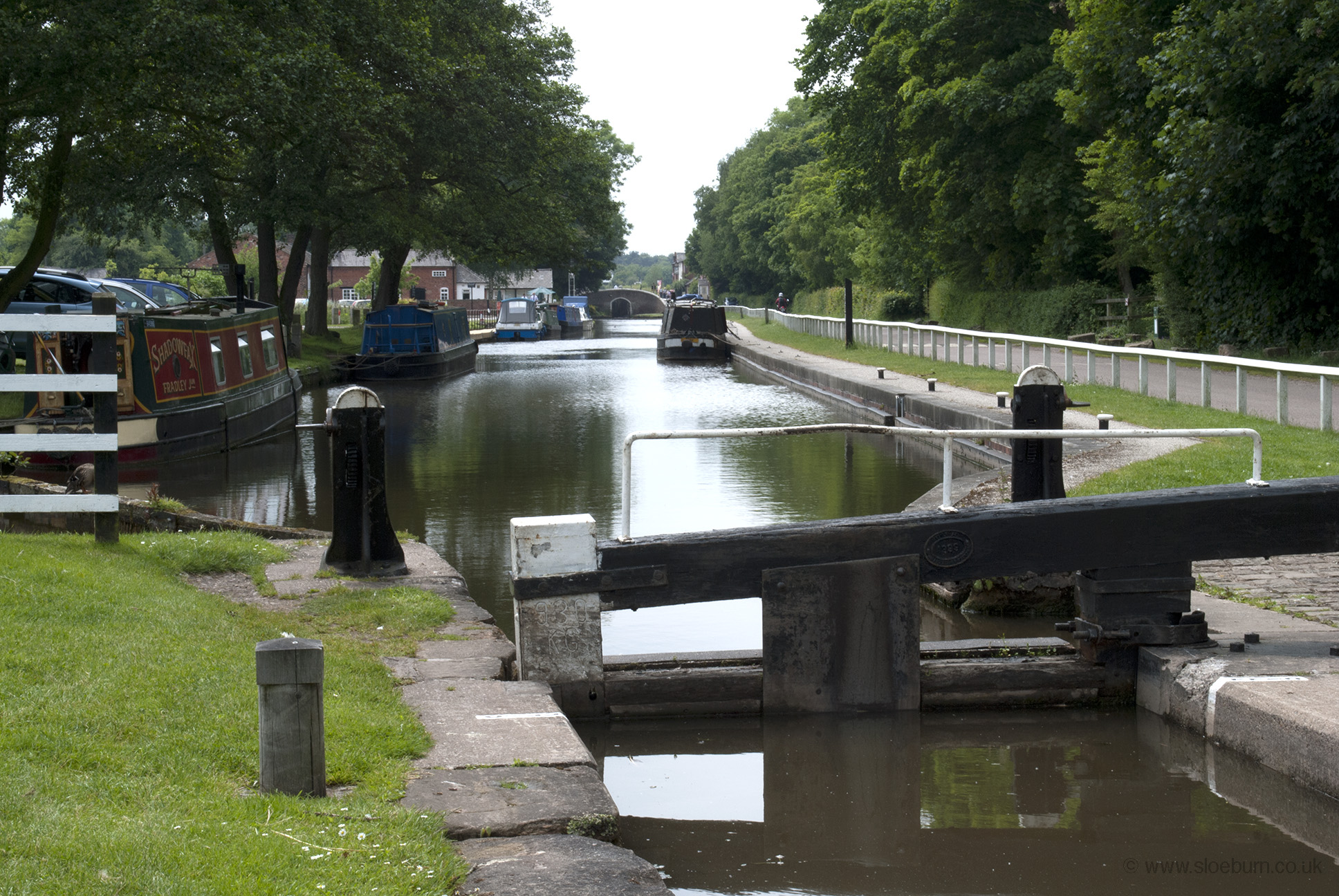
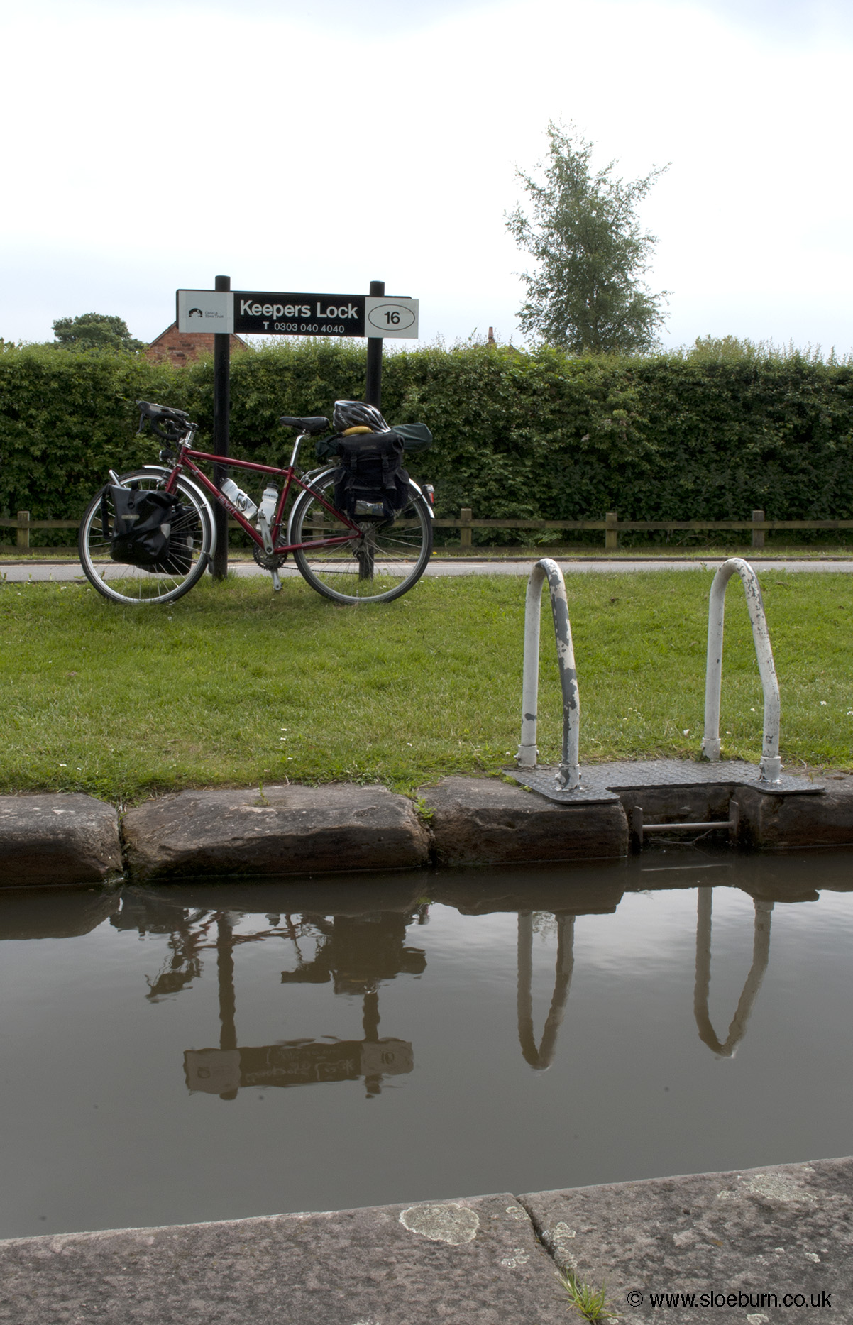
I thought stopping to eat my lunch by a canal might be nice, until I stood in a dog turd. I suppose the rest of it was nice. A bit later my route crossed the less pooey Trent & Mersey Canal at Fradley Junction, which marks the northern end of the Coventry Canal.
The weather was a bit odd this afternoon - dry, but seemed to be thinking about doing otherwise, and some unusual colours in the clouds.
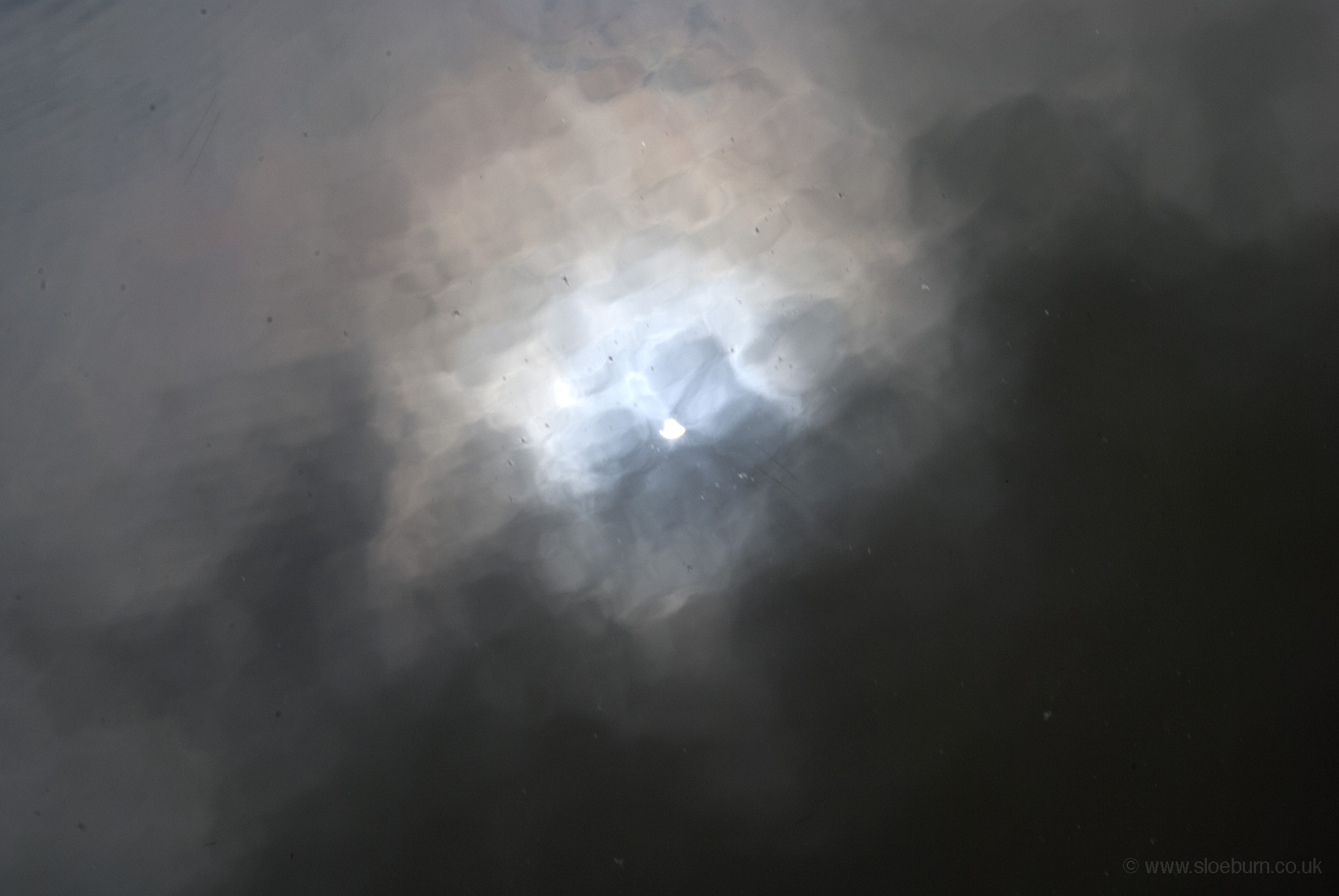
Sun through the clouds on the water.
I arrived at Forestside Farm campsite near Marchington, which was one of the cleanest and most thoughtfully equipped that I have seen, and the owners very friendly. It was a small place but there was only me, a caravan, and some signs of people staying in a camping pod (which I saw several of on the rest of the trip). I walked down to the rather posh-looking village in the evening and found a pub, which was rather 'local'.